Biking around Victoria, BC
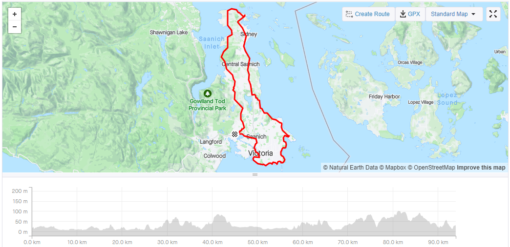
Most of the gigantic Vancouver Island has little roads or settlements because the terrain is absolutely brutal, with many jagged mountains peaking well above 1500m. However, the western Peninsula has very many tourist attractions and beautiful costal scenery with endless little things to do and notice.
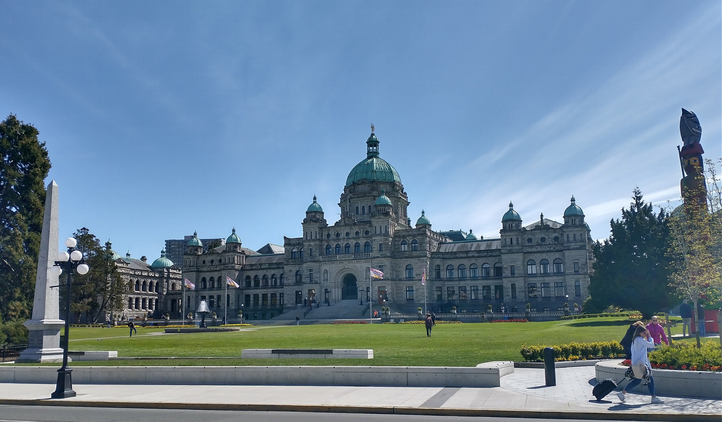
City Hall. As usual our government employees deserve nothing but the best. Red Tape is not something you can just concoct in a regular building.
There is a ferry terminal that connect to several nearby Island and in pre-covid times, the USA. Can’t bring your car on these smaller ones though.
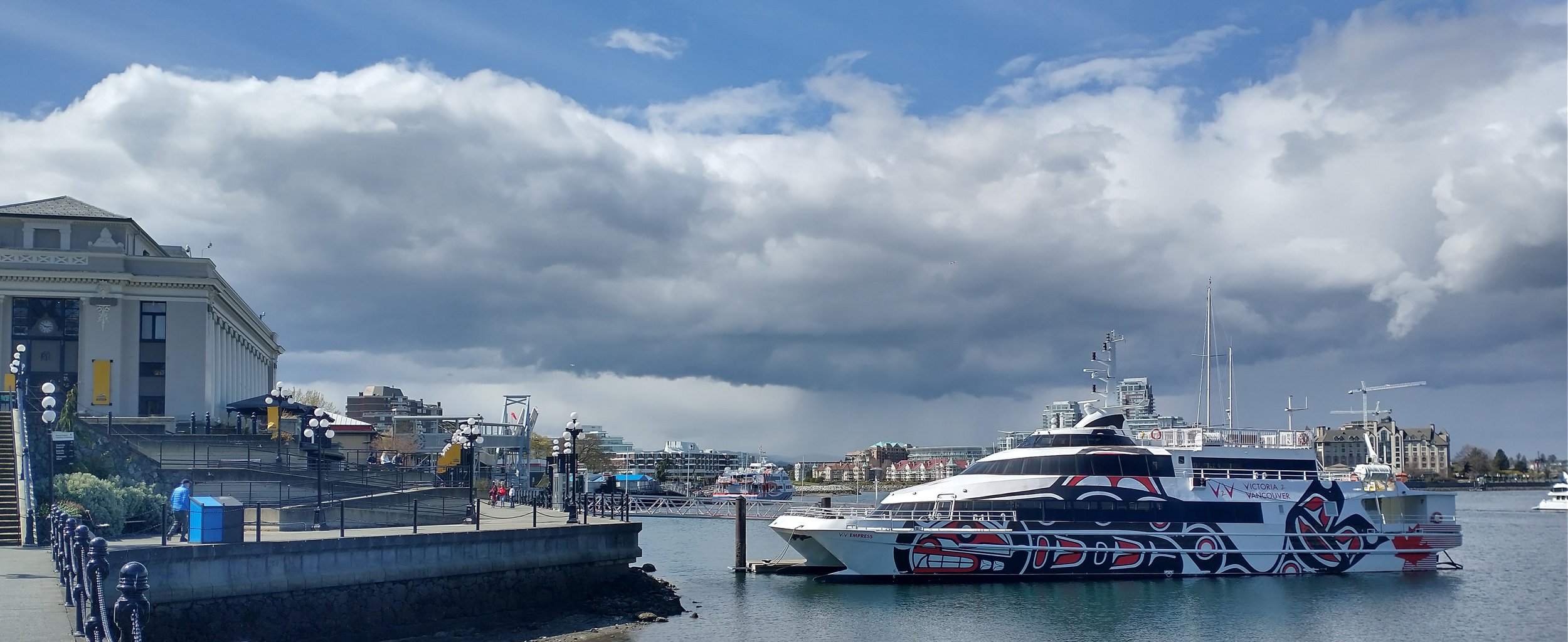
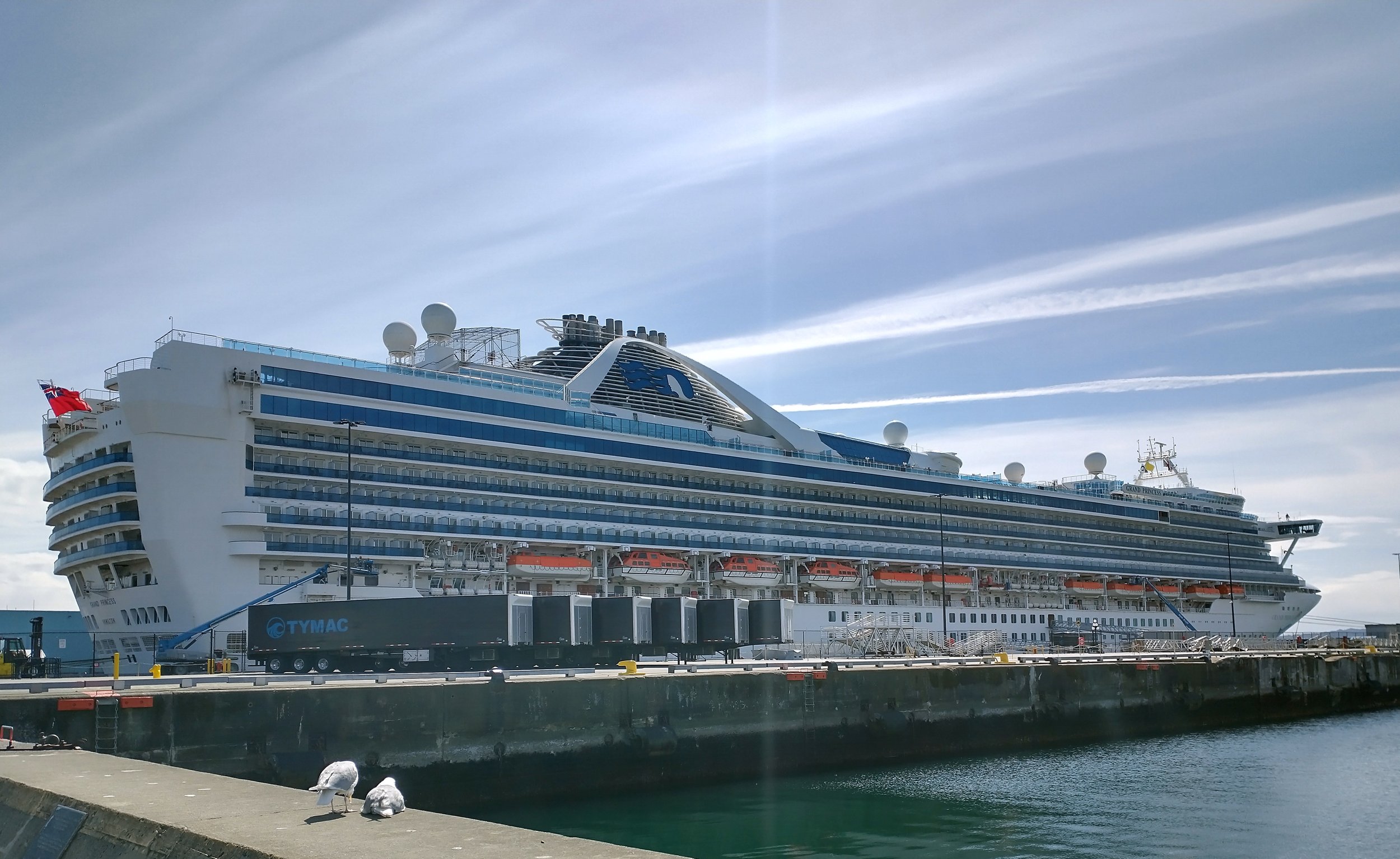
You will pass by Fisherman’s Wharf, where apparently this gigantic ship is docked from time to time. Look at this preposterous boat.
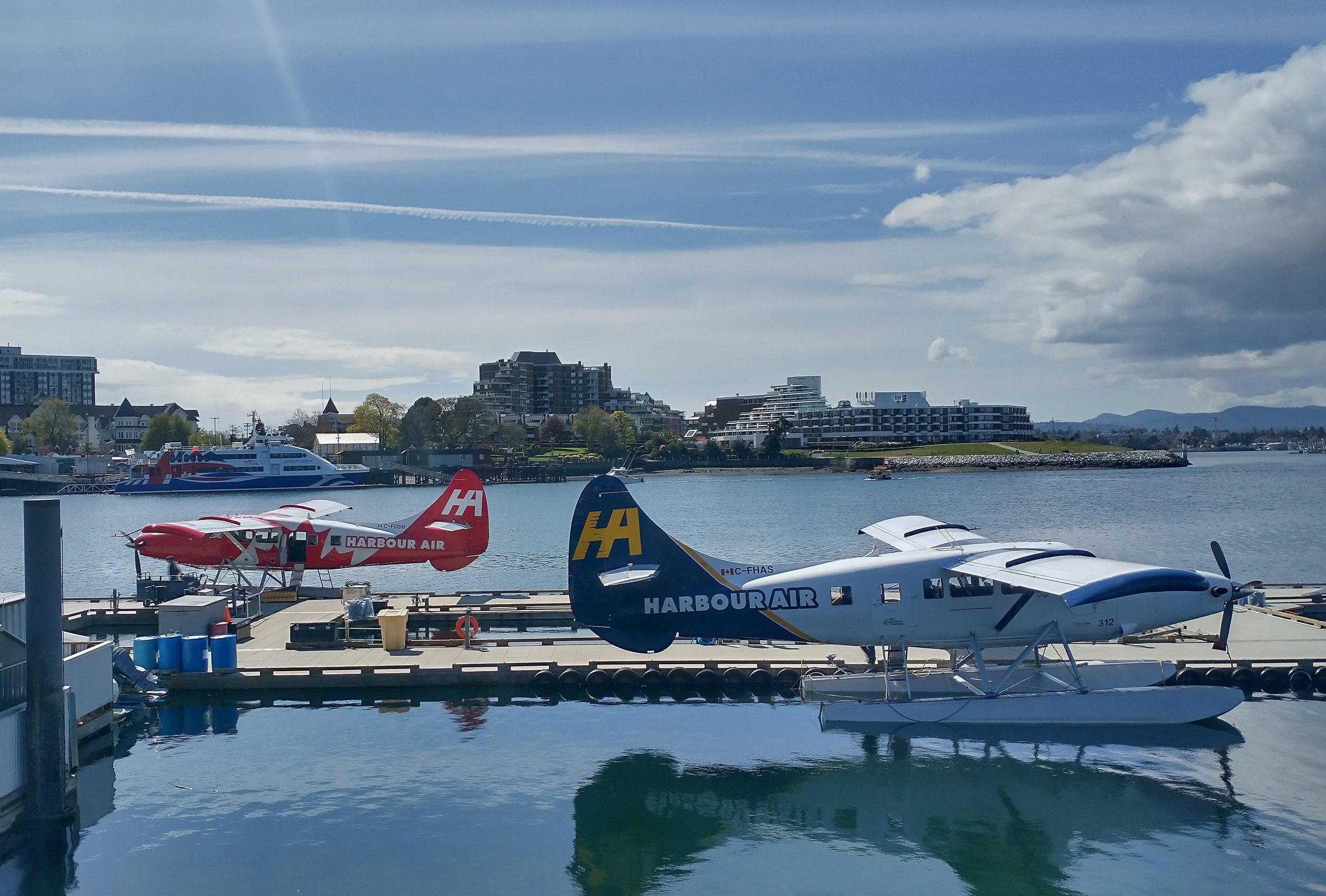
Harbour air also has several terminals on Vancouver Island itself, providing very rapid but expensive travel in the area and also to the USA.
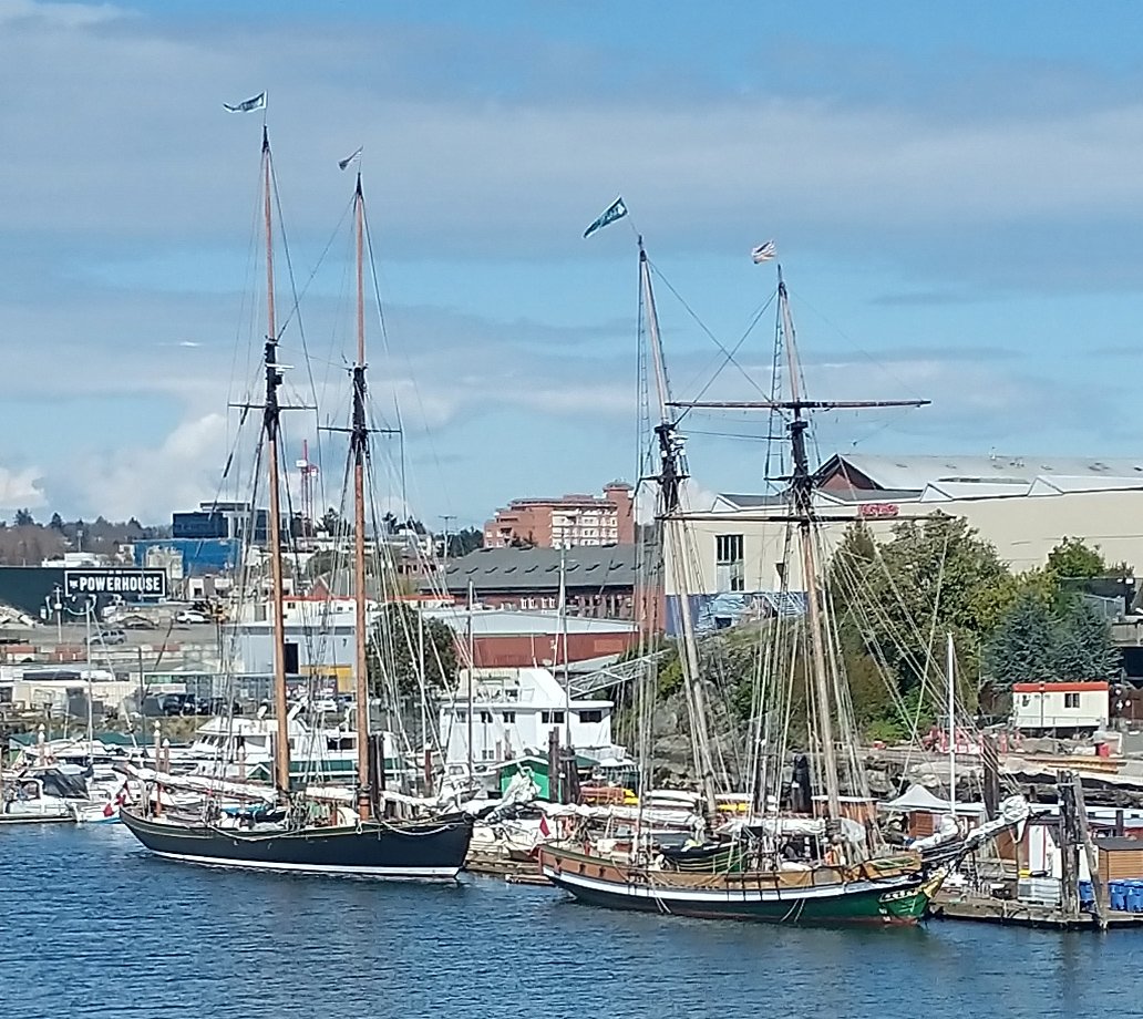
Don’t know what the deal is with those old sailboats but they are MOST DOPE.
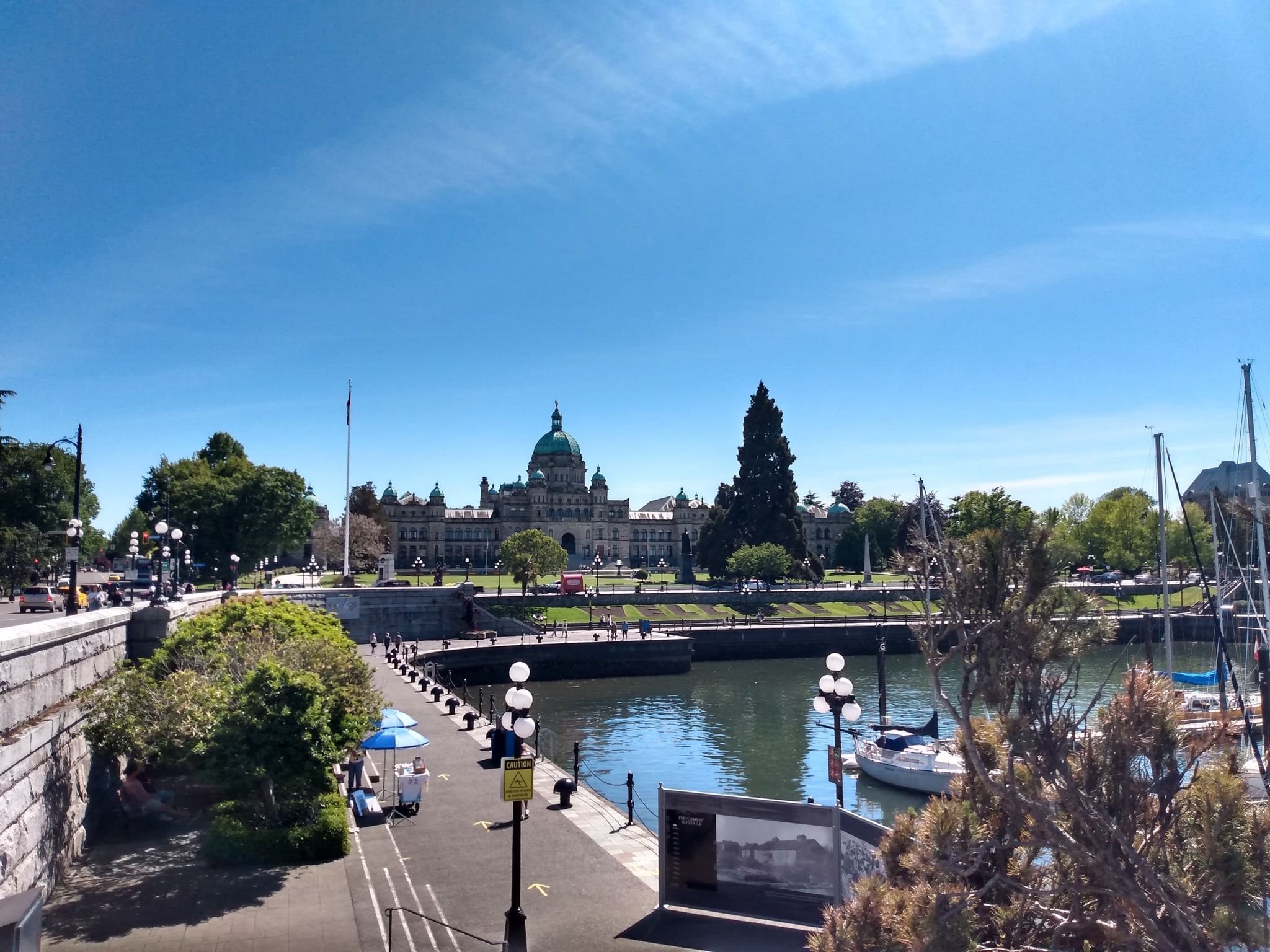
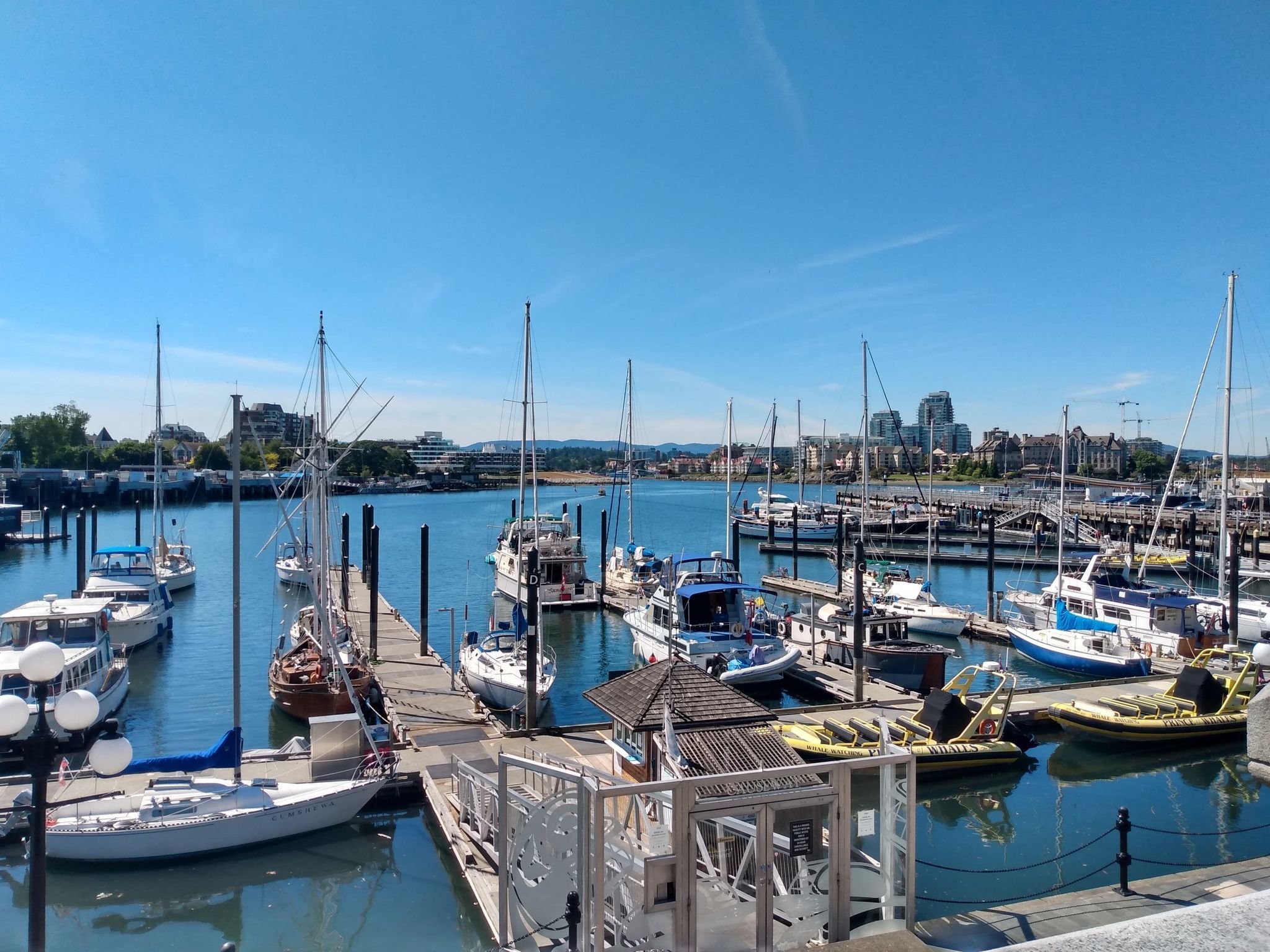
Downtown harbor view. Lots of things to do if you have lots of money to spend!
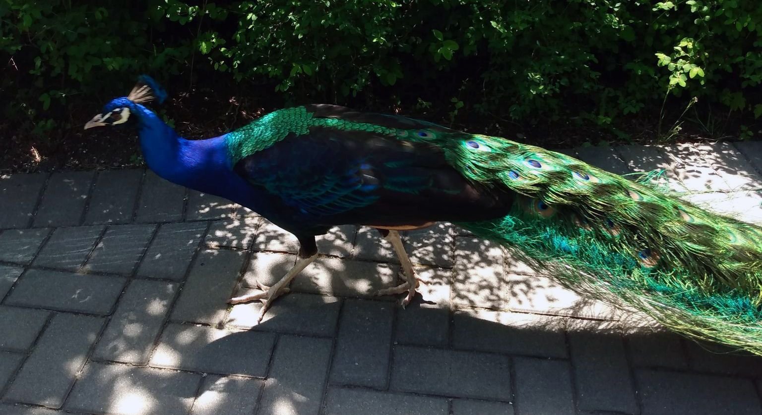
If you want you can pass by Beacon Hill park which has peacocks, for some reason. They are hilariously loud.
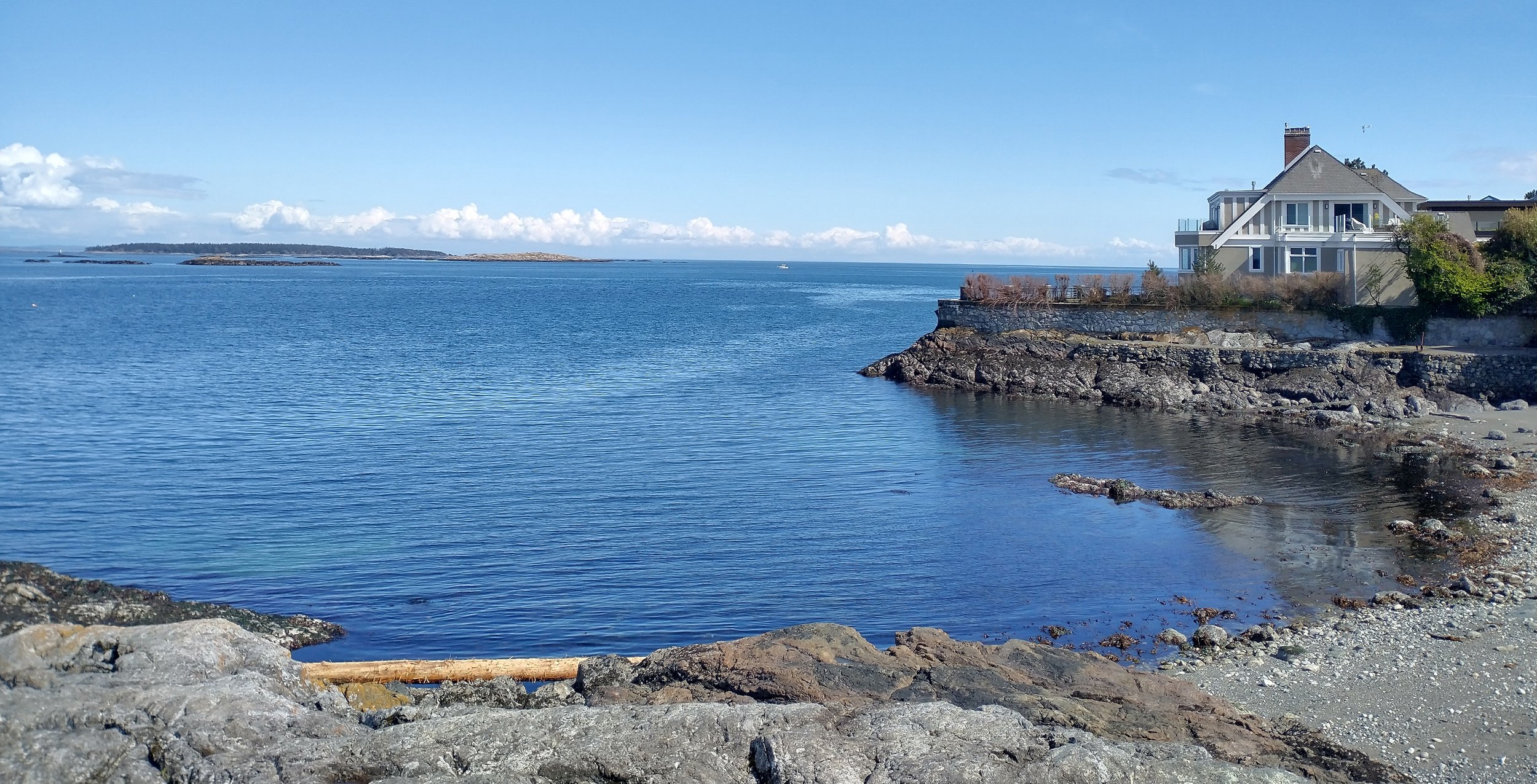
Once you clear the downtown area you follow along the coast for around 10km. Lot of small one family homes in this ludicrously prime real estate area. Nothing is under a million dollars here.
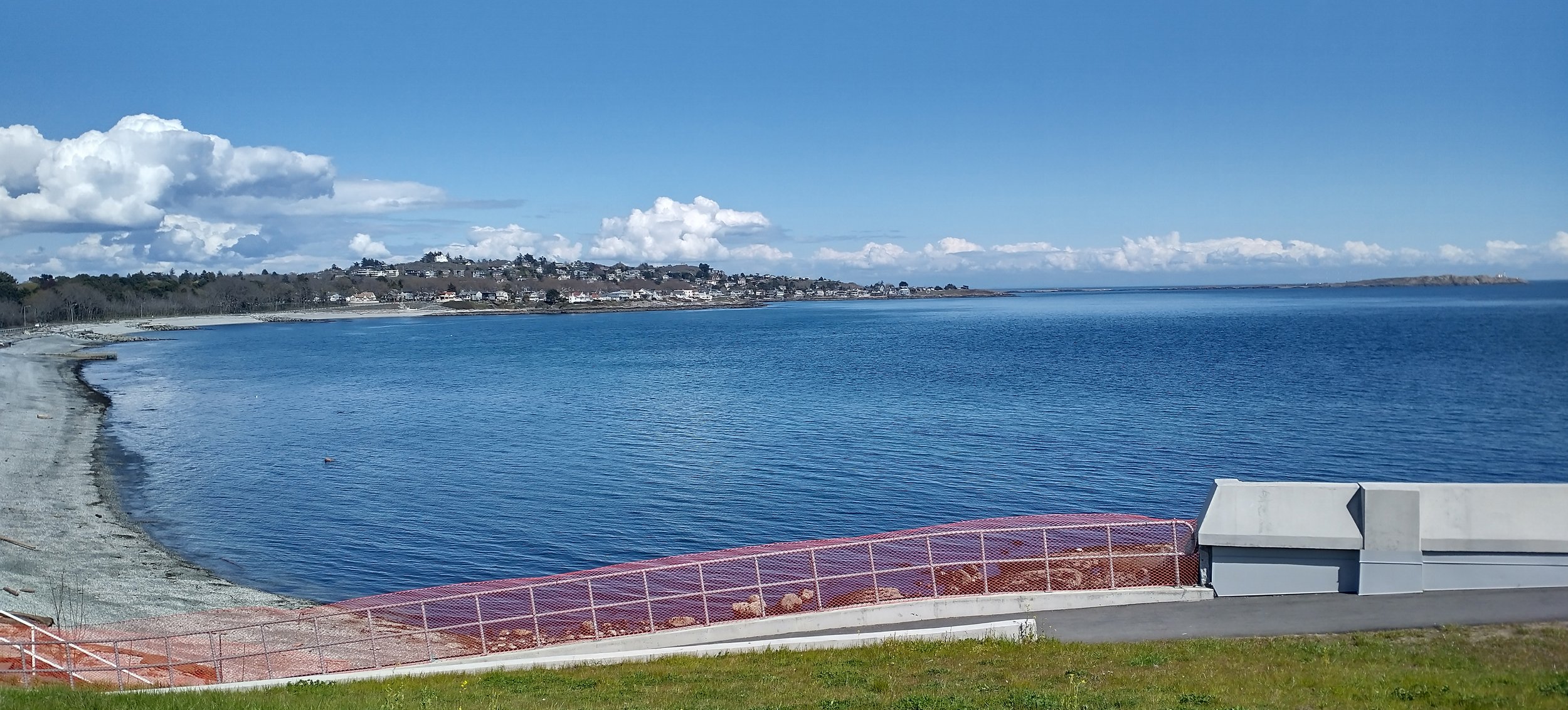
I assume people attempt to swim here sometimes.
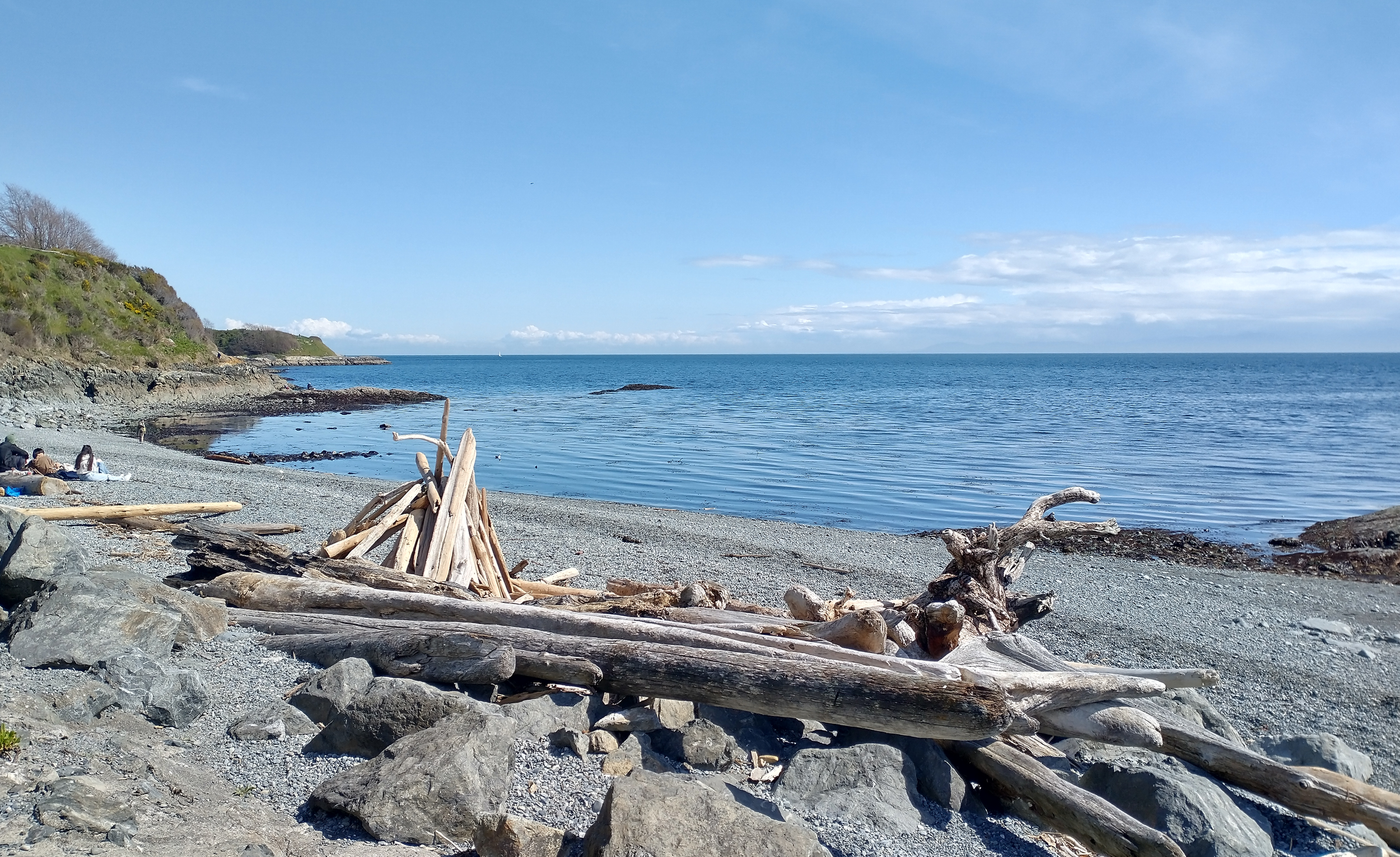
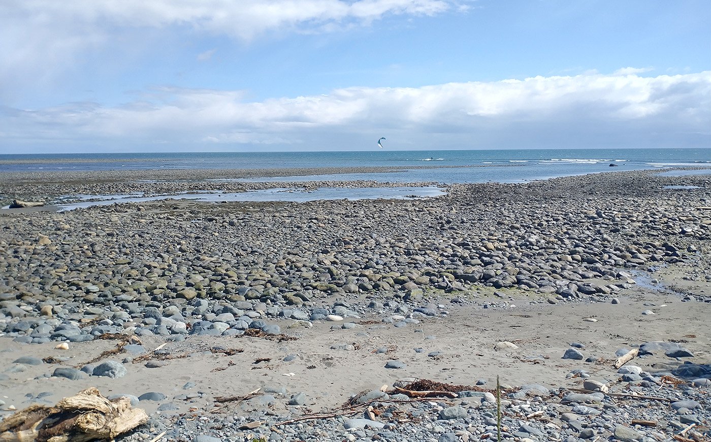
You’ll get acquainted with Vancouver Island’s typical beach: Frigid water, jagged sea debris and pebbles, no sand and tons of driftwood. The views are always amazing though. Dog walking seems to be the most popular activity to do on these beaches.
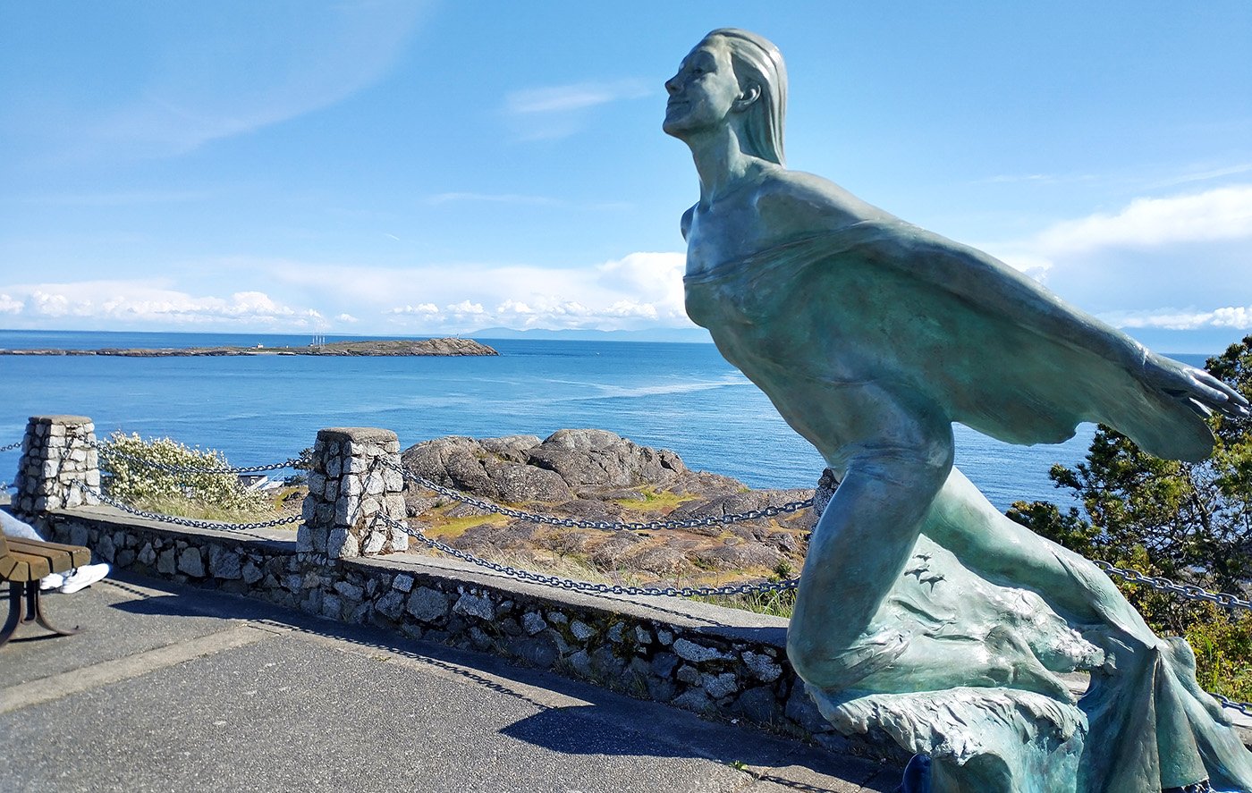
The southern part of this little loop has just one tiny hill, atop which is this lookout. During more clear days you can see Mount Baker, in Washington State, which I actually went to last year.
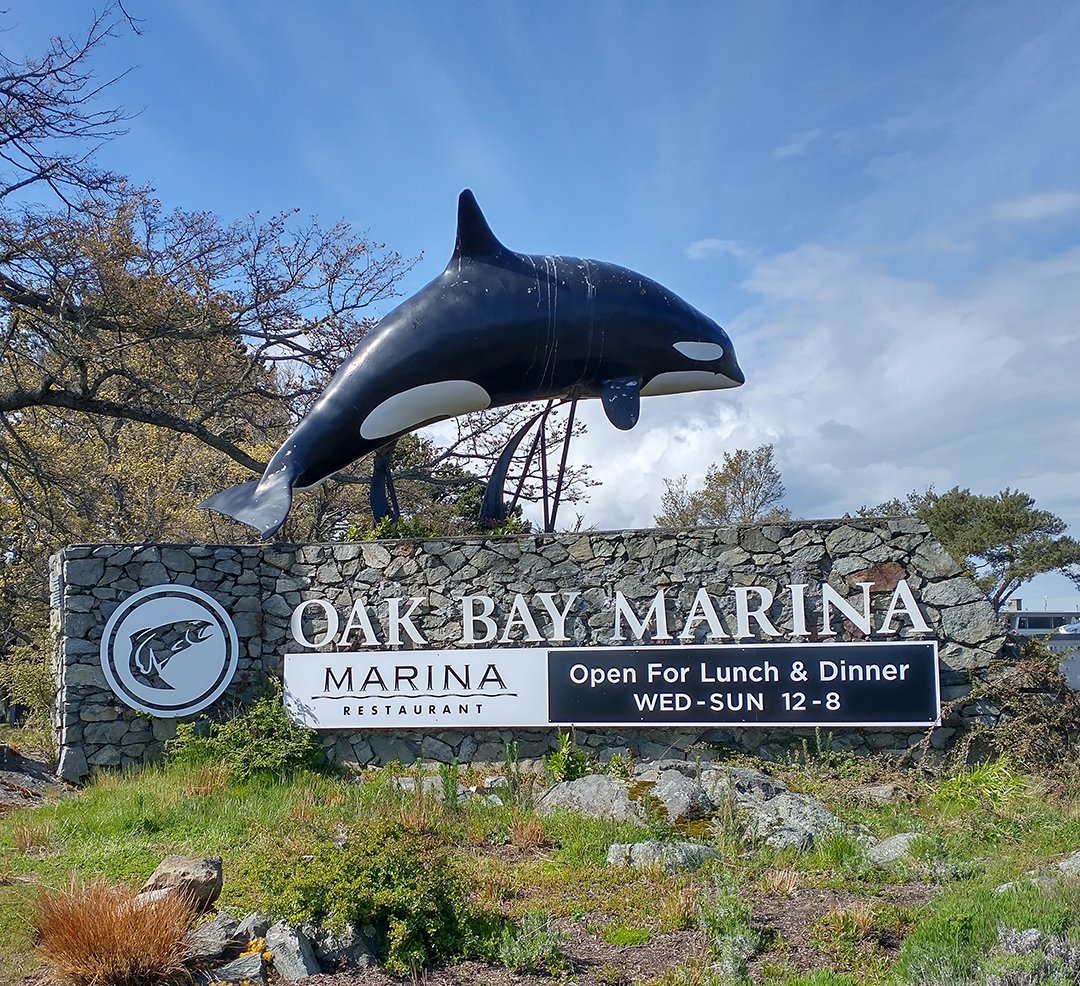
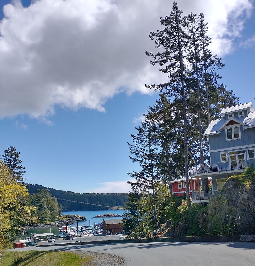
Further up North is Oak Bay, another ludicrously expensive area with the average age is about 99. It has a beautiful marina packed with small boats.
Unfortunately there is not much to see beyond this point if you keep going north and around the peninsula, however it is a nice bike ride if, you know, you’re into that sort of things. Otherwise the oceanfront touristy loop is just around 30-40km.
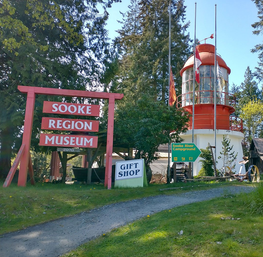
It has a little museum weeee
What it sort of looks like.
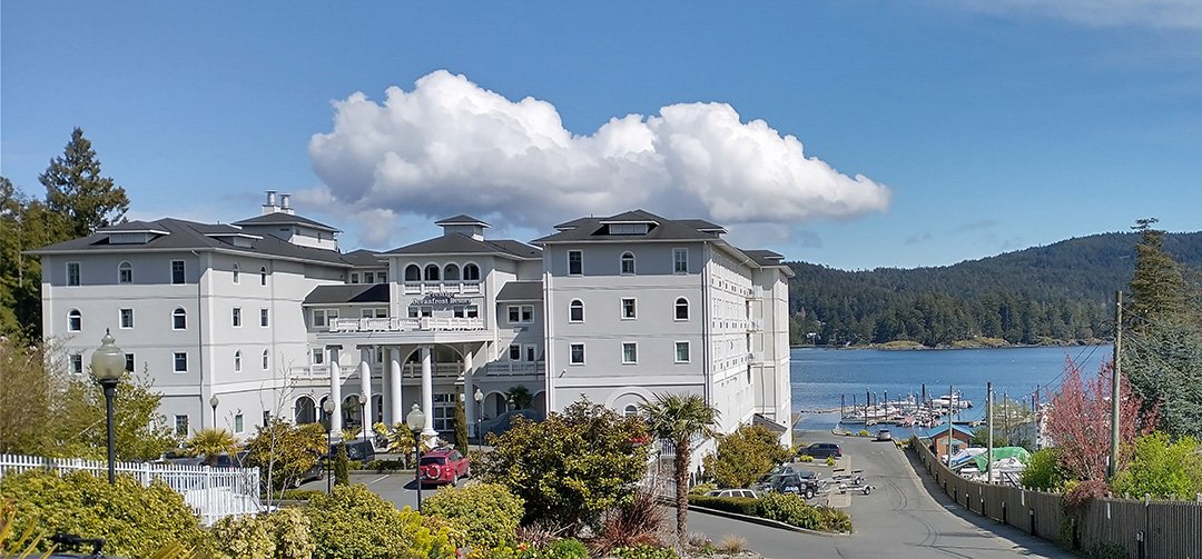
It has this giant hotel next to the ocean. You can go down to the pier and watch the wildlife.
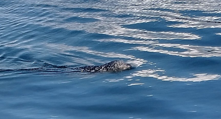
You might get lucky and sea grey seals and river otters!
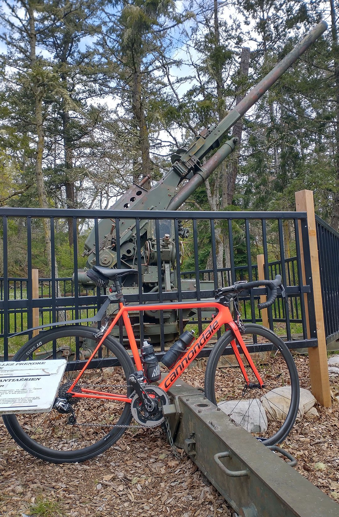
On the way to Esquimalt Lagoon you can pass by Fort Rodd which has a few of these military leftovers.
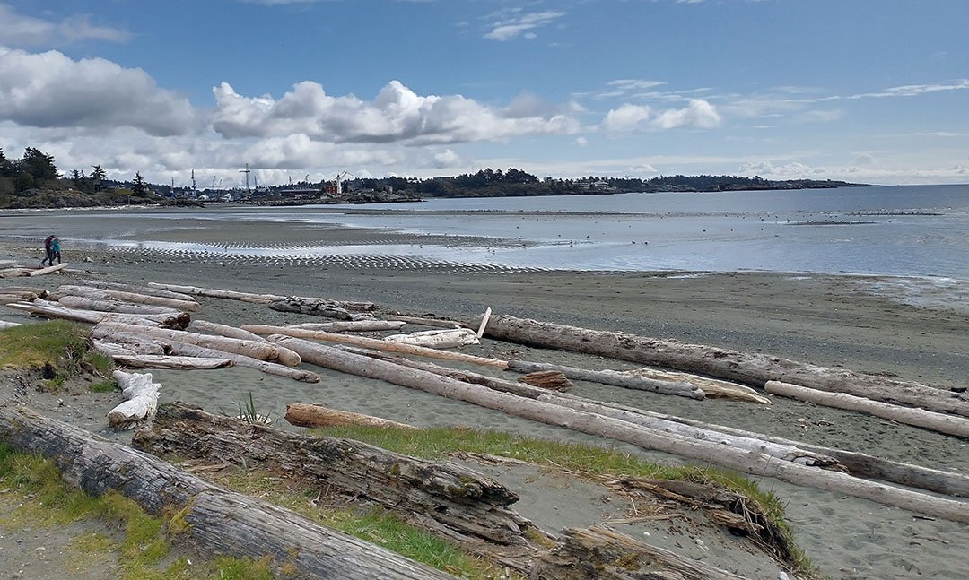
Esquimalt Lagoon is a popular tourist spot that’s decently close to downtown. In the summer it has many food trucks park along the beach.
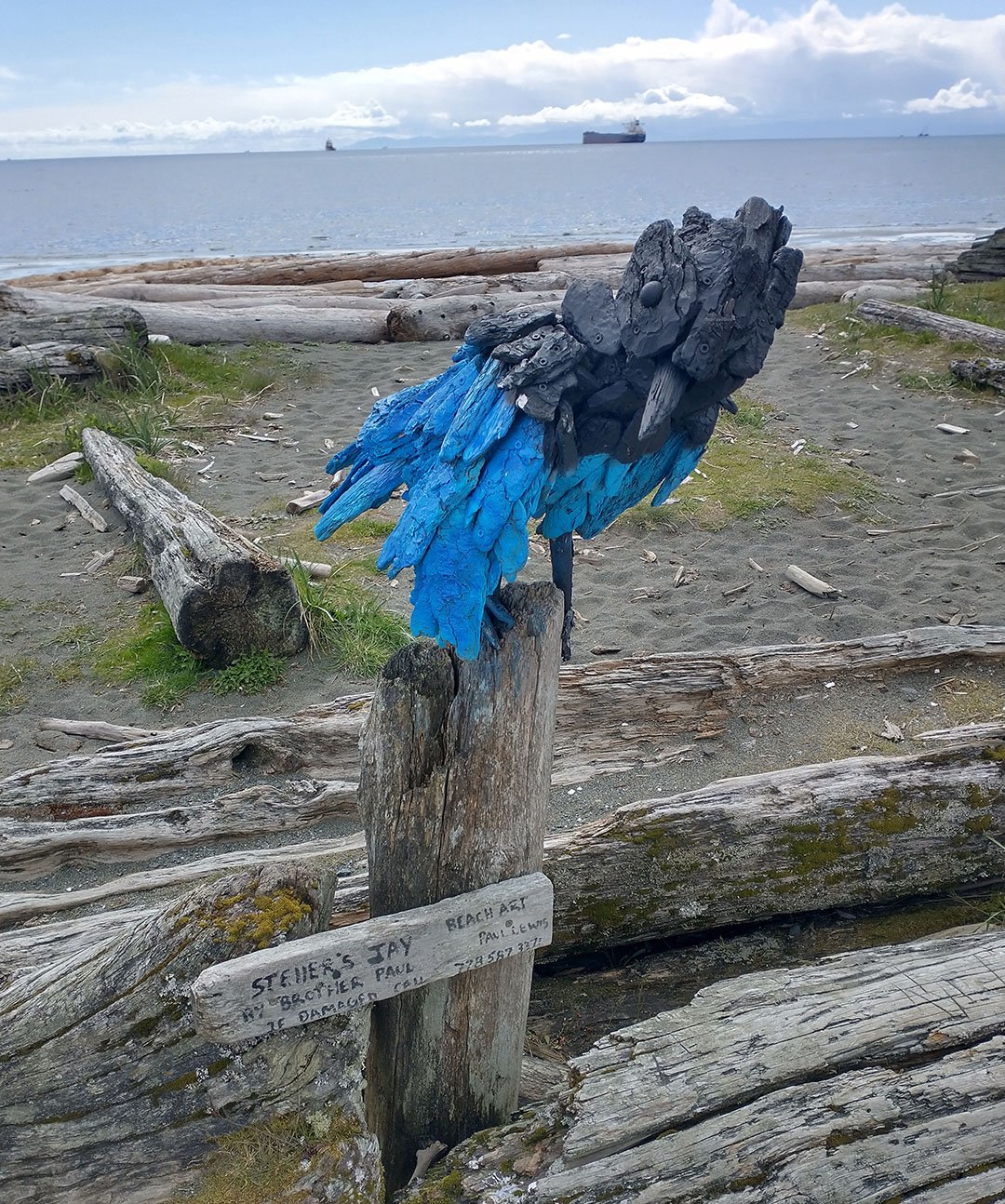
A dozen of these driftwood sculptures line the lagoon. Driftwood is not an endangered resouce on Vancouver Island.
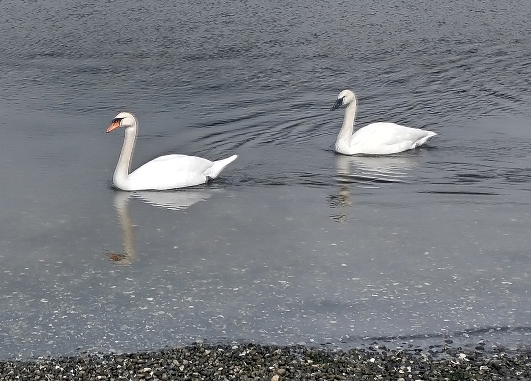
A very good spot for birdwatching, if you’re into that sort of thing.
There are endless little areas such as this here, with insanely expensive-looking homes with amazing views a stone’s throw away from rural farmland. It’s some sort of zoning shenanigans that helps anyone who already lives here at the expense of anyone wanting to move here. Sure looks nice.
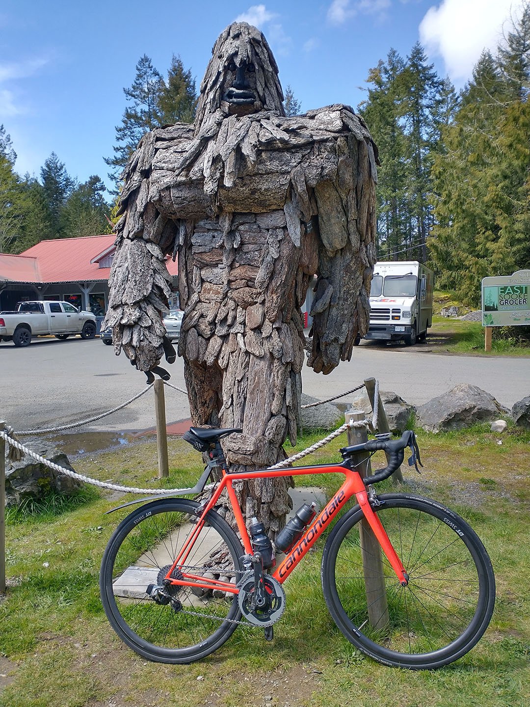
At the crossroads between East Sooke and going back north towards Victoria, you’ll find the SOOKESQUATCH along with a convenience store and possibly food trucks.
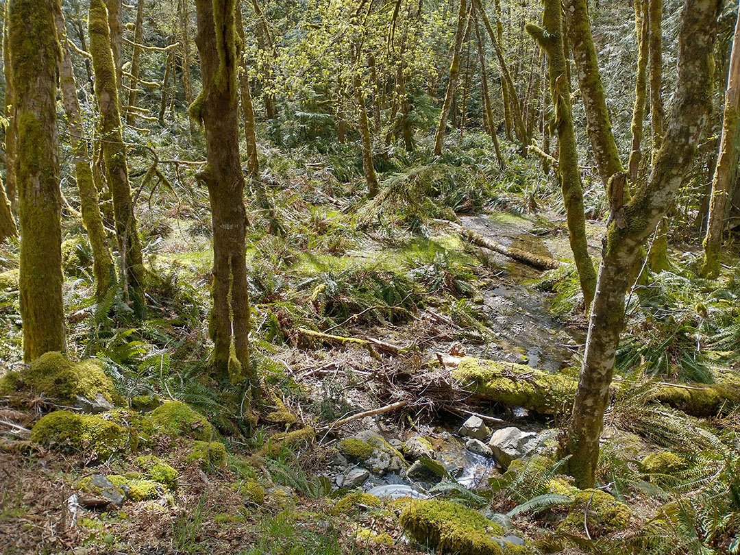
Moss everywhere.
What East Sooke looks like once you emerge from the forest.
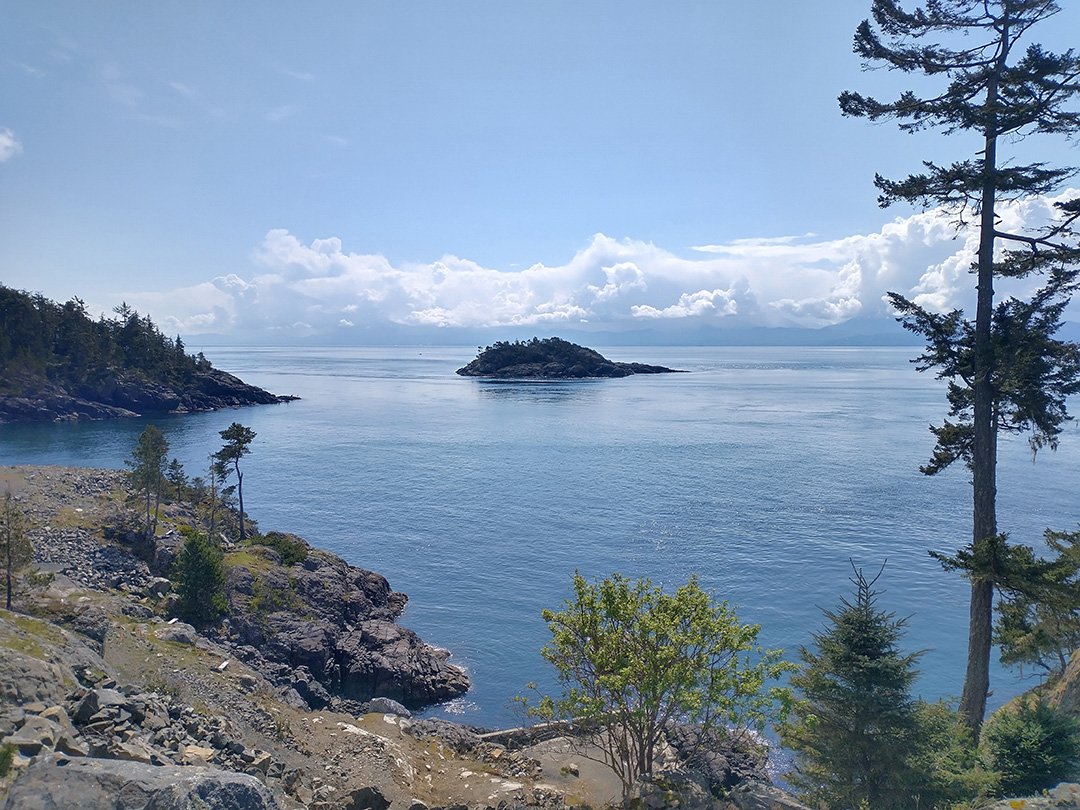
The tip of East Sooke.
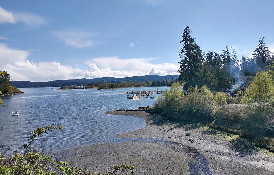
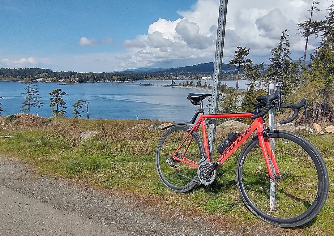
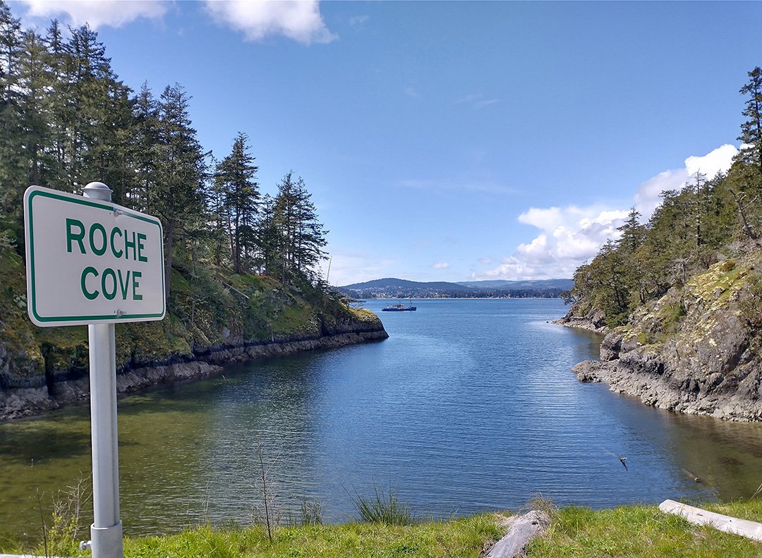
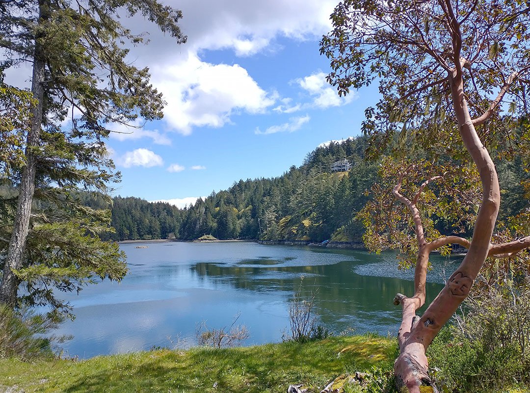
On the way back from East Sooke, as you turn northward you will come across Roche Cove which, on one side, has this view of Sooke Inlet.
But on the other side, check out this ONE HOUSE who has THE ENTIRE DAMN LAGOON TO ITSELF. On Googlemaps you can see there’s nobody else and just one little road at connect this house to the rest of the road network.
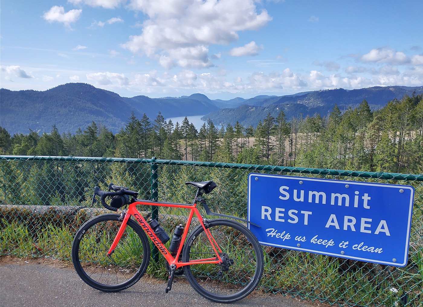
This ride brings you along the Malahat, one of the best views you can get on the peninsula. Most sketchy area to ride your bike on this look, however.
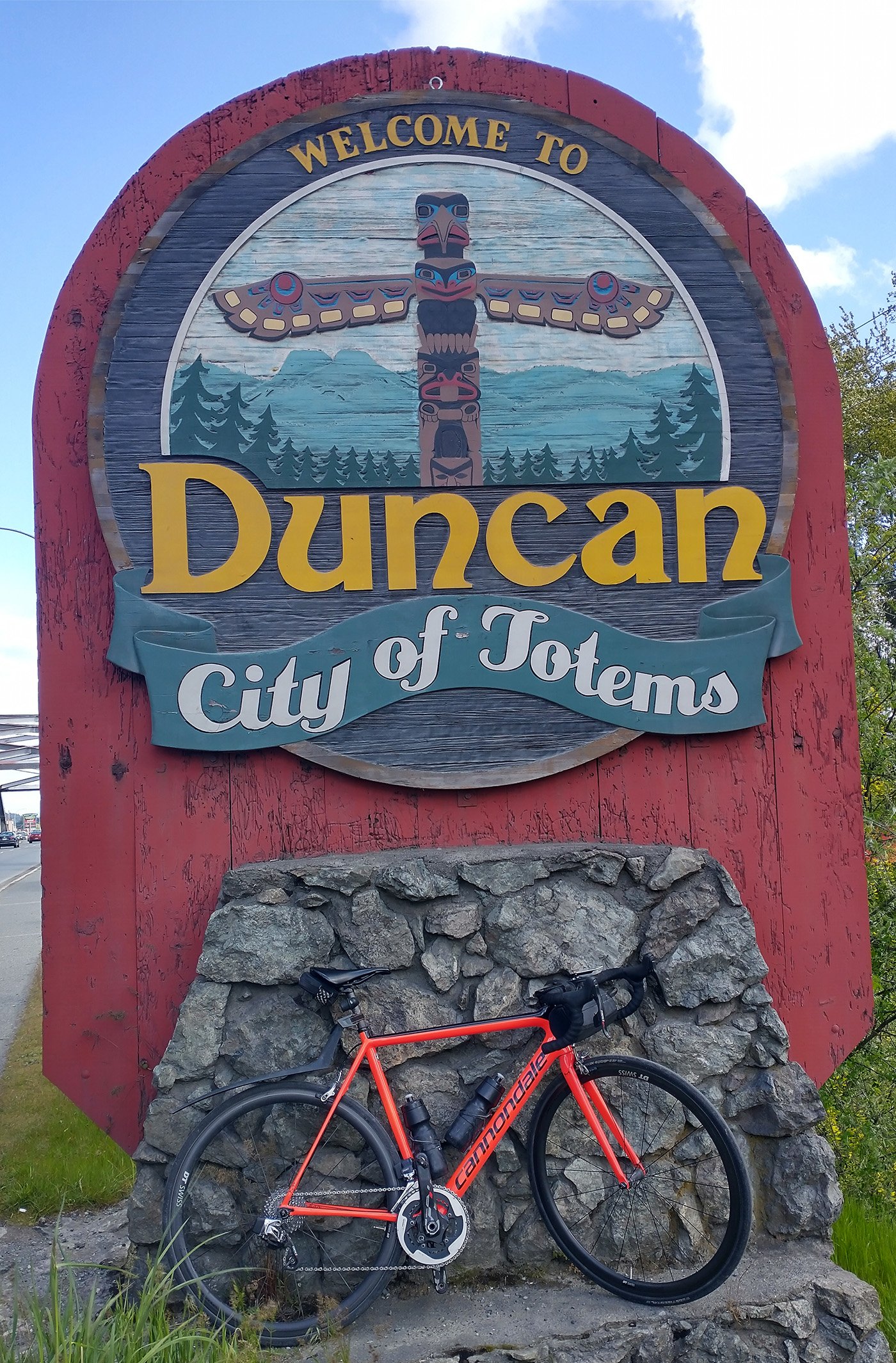
First turn off in Duncan, which seems like a dump if you pass through it from the highway but has quite a cute downtown area.
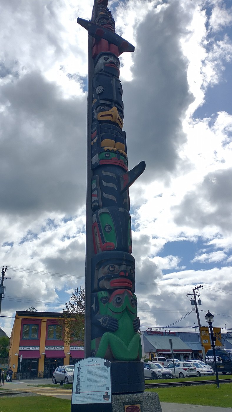
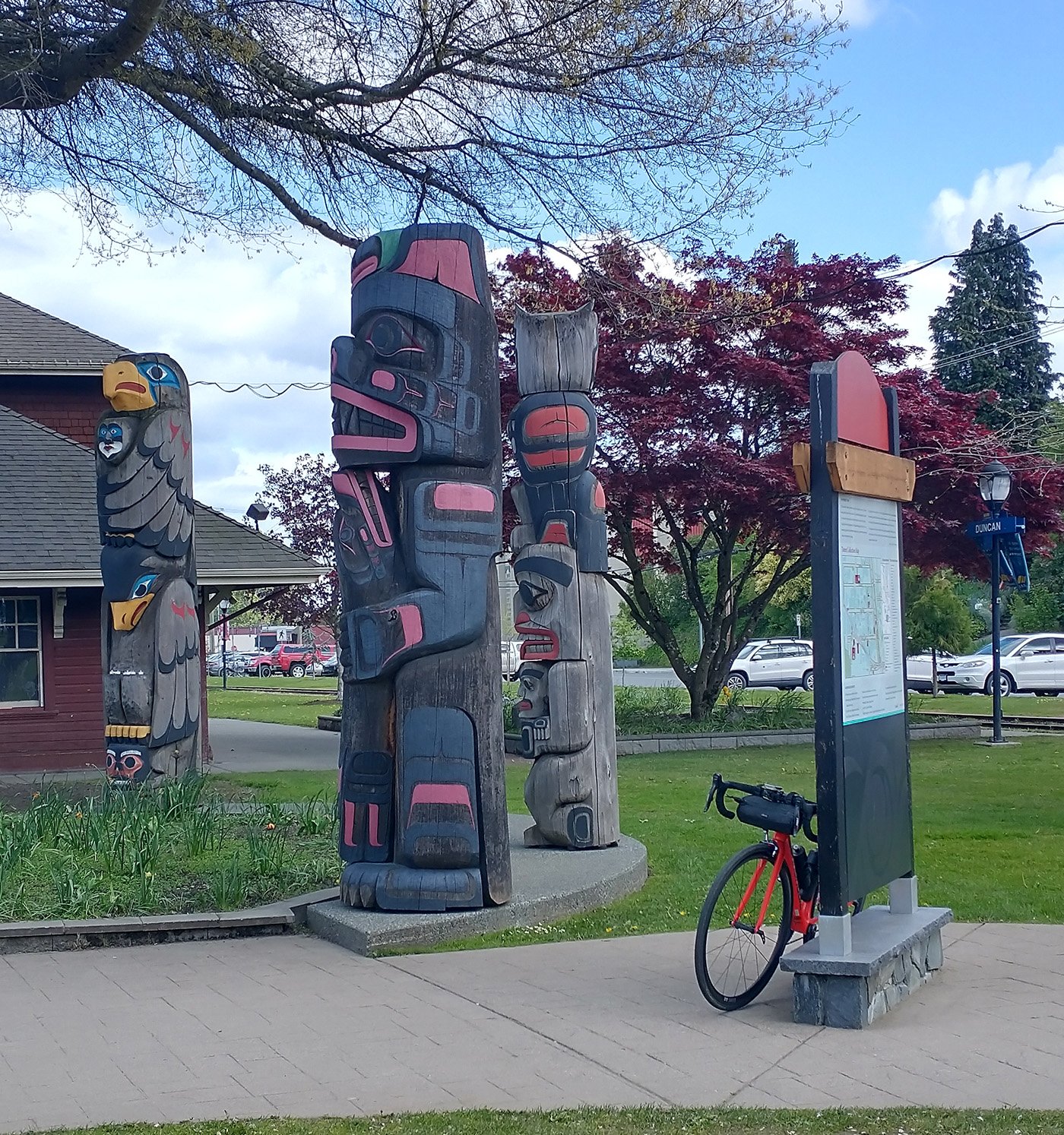
It’s where they store the totems.
They’re everywhere downtown.
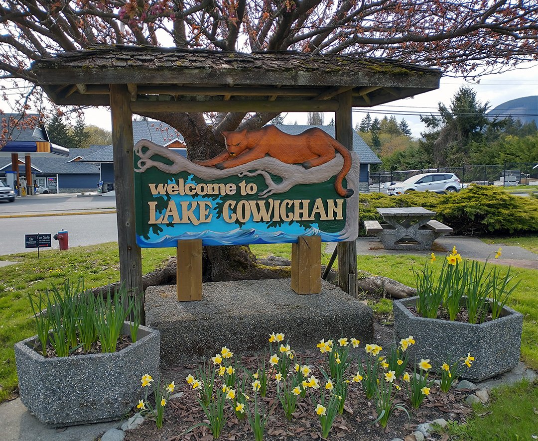
There’s a little rural stretch of road that links Duncan to Lake Cowichan, before you really turn off into the boonies.
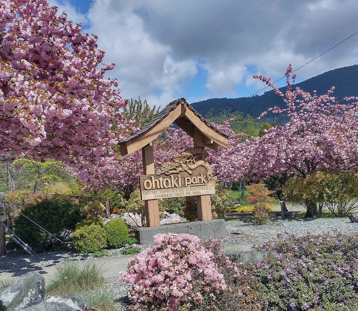
In the spring, cherry blossoms are all over the place. The entire Island has people planting and cultivating these.
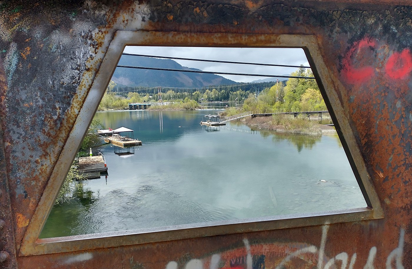
Restful.
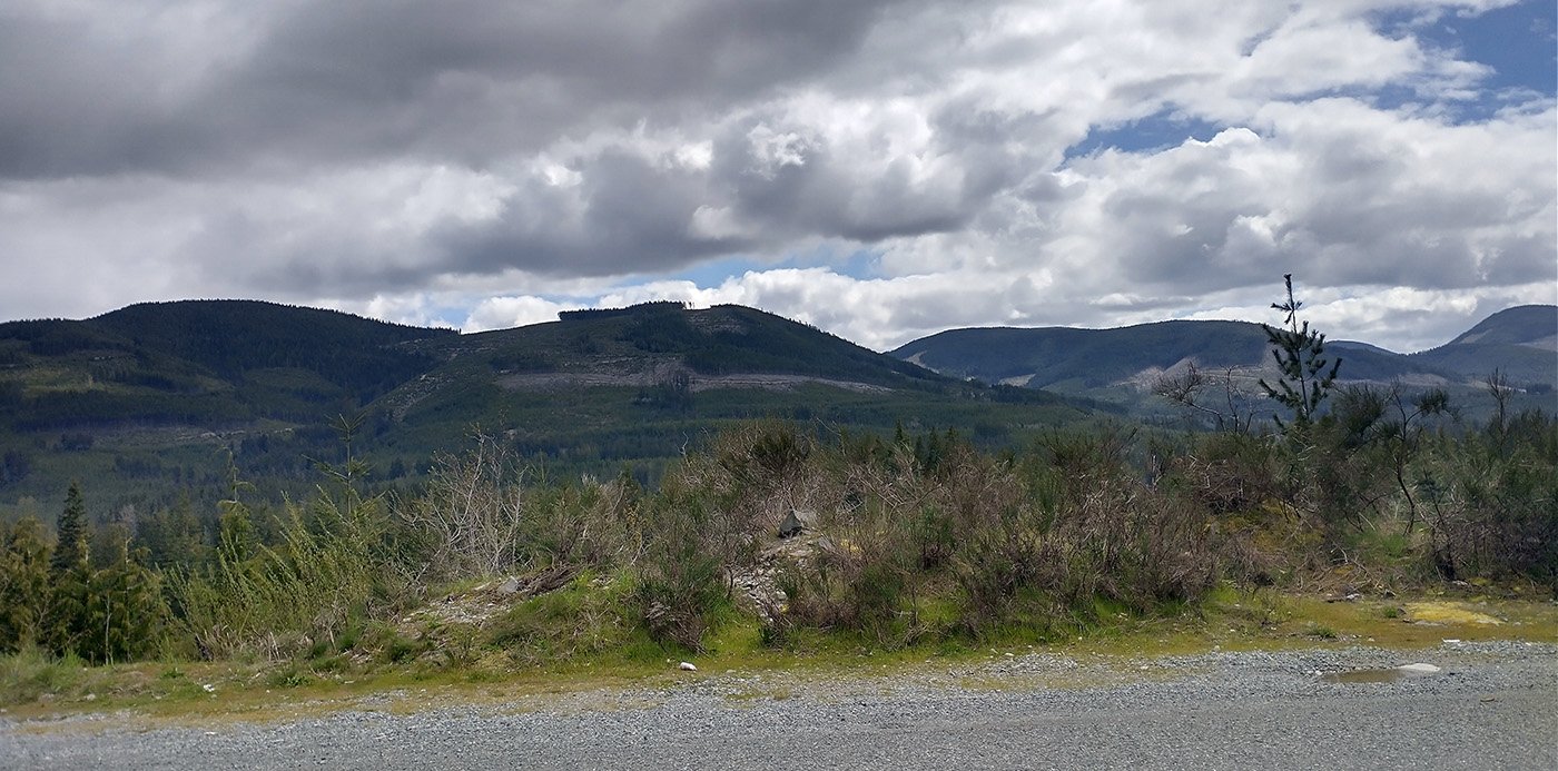
Between Lake Cowichan and Port Renfrew, there is absolutely nothing. No cell reception, no bathrooms and no gas stations. Just logging roads and a few campgrounds. The road is pristine but you may get eaten by a bear.
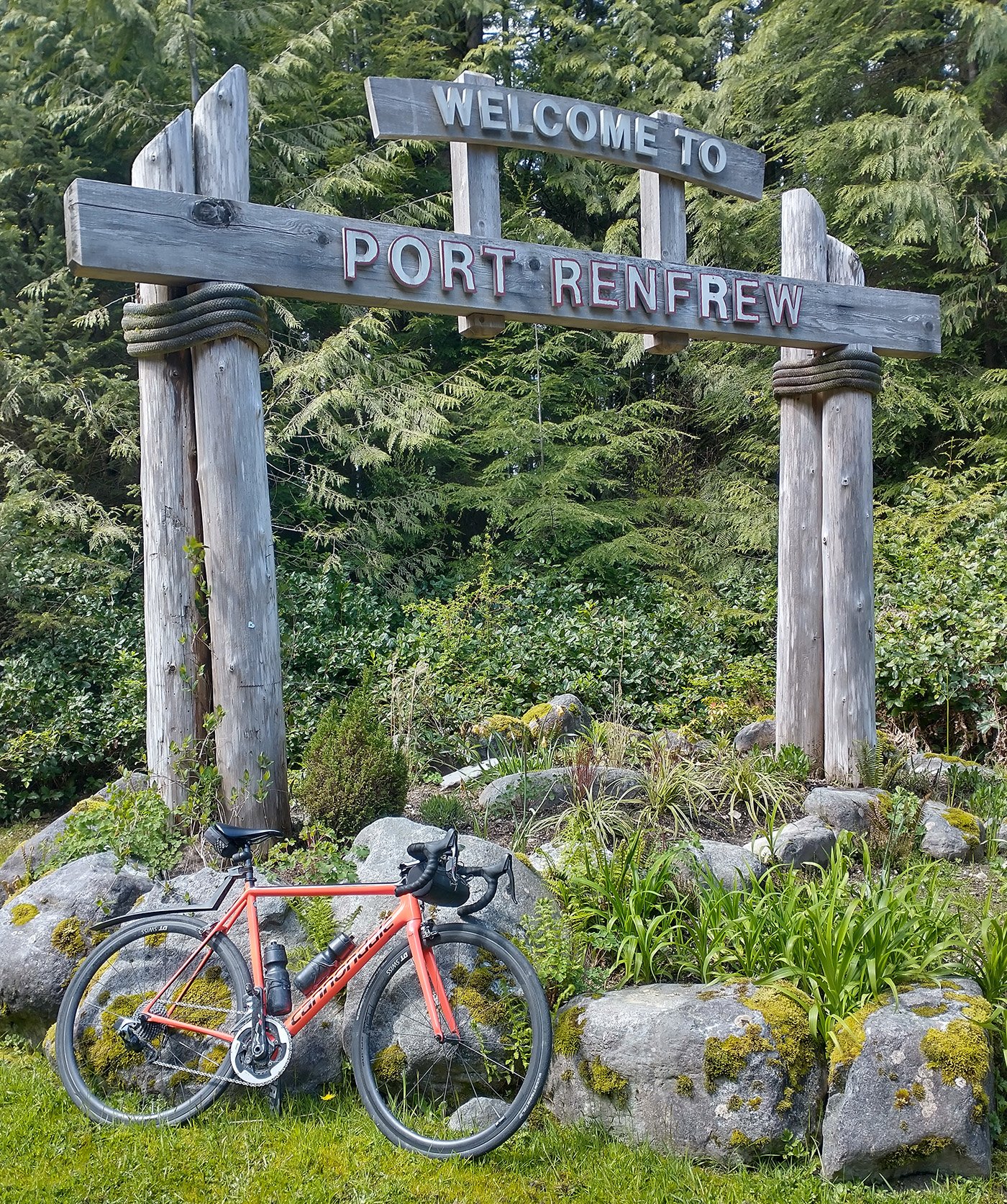
Beyond the halfway point of the loop you finally make it to Port Renfrew and it’ll make you wonder: Why the hell did anyone build this road?
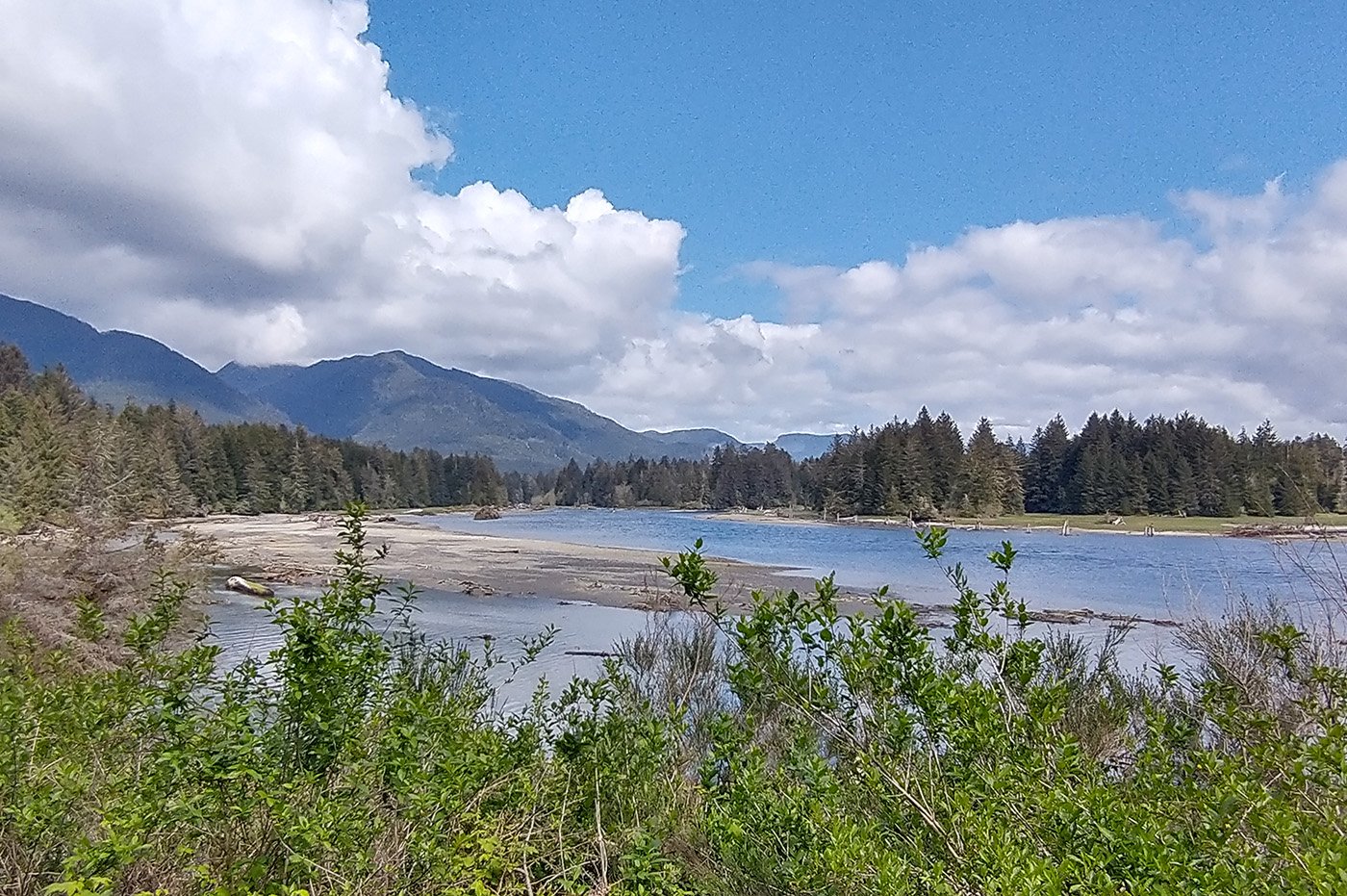
The town has stunning views however.
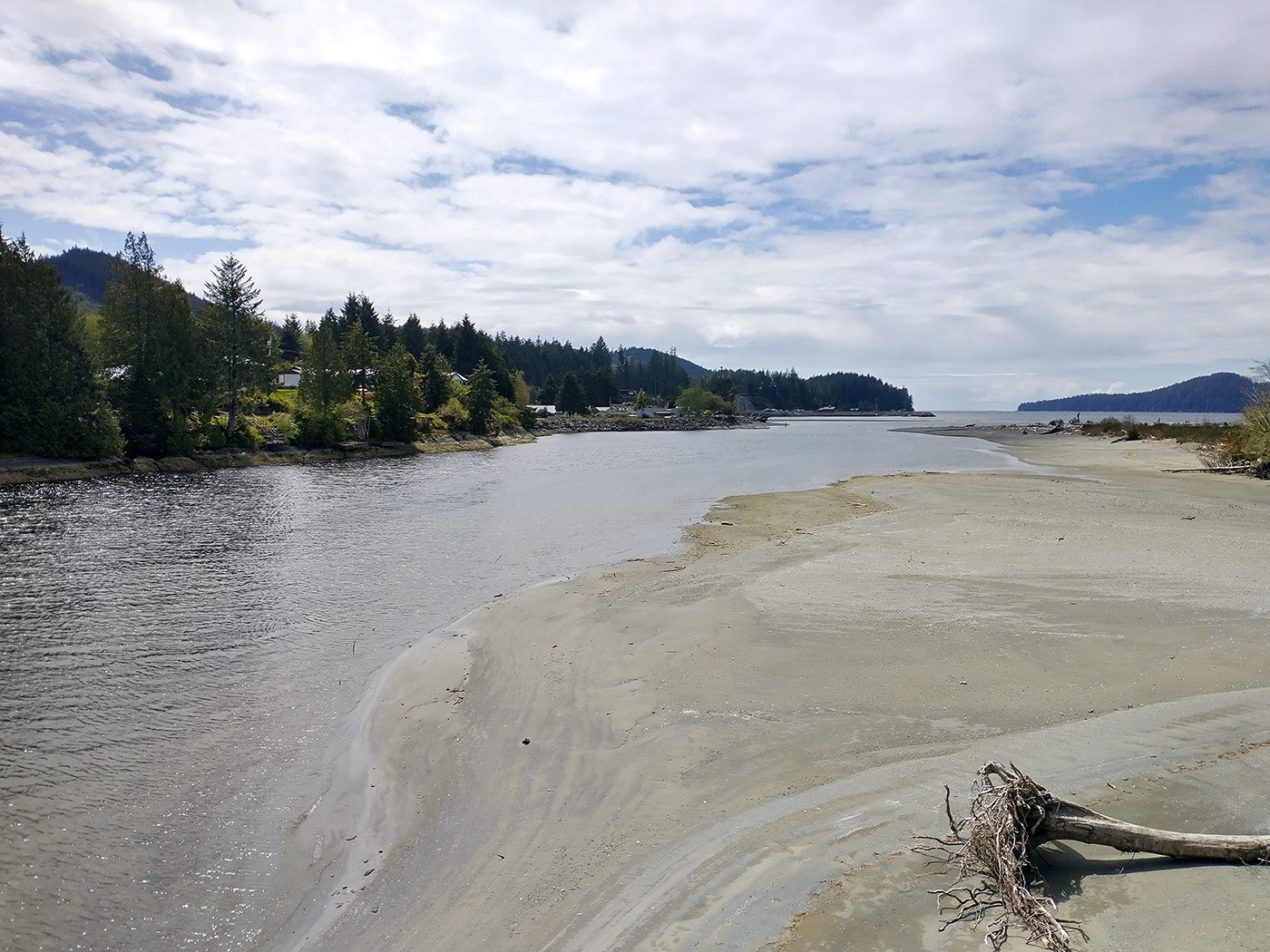
Being a port, it obviously has views of the open Pacific ocean. There’s so many areas on the Island with these sorts of stunning views and nobody around.
The road from Port Renfrew to the next town, Jordan River, follows the coast and periodically has amazing views of the ocean. There’s so many potential multi-million dollar mansions you could build here, for hundreds of kilometers.
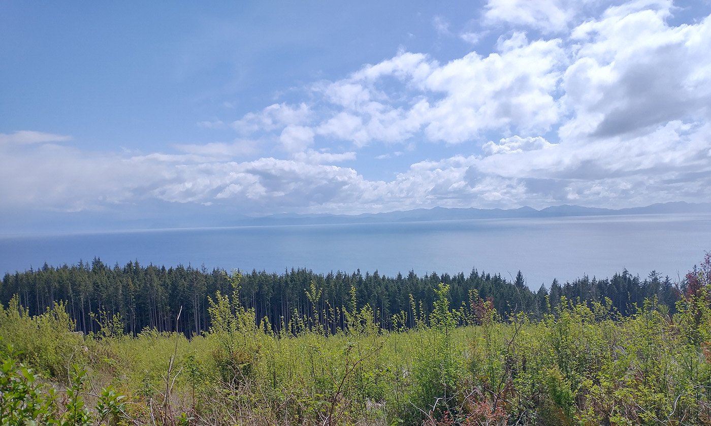
Jordan River has a few campgrounds and these long rocky beaches. The most beautiful views on the Island can be found between Jordan River and Sooke in my opinion.
The peninsula has quite a lot of bikes routes to offer and is truly nice in the summer. However it rains half the time here, making it not that different from the rest of Canada if you’re interested in cycling full-time. The roads here are also absolutely pristine, which is a nice contrast from Quebec’s warzone-like road conditions. The one caveat is that they don’t seem to wash the gravel that washes into the shoulder nonstop.
Follow me on this thing: https://www.instagram.com/poxpower/