Touring Canada - Vancouver Island

To test the car camping rig I did an out and back on the Island, going to the westernmost part of Canada you can reach without going all the way into the Yukon. Here’s pictures and rides on the Island in case you visit or just want to see what it looks like! Definitely come in the summer ( May-September ) because then it starts to rain forever.

Lake Cowichan ride.
Caveat: Most of this route is not paved. At all.
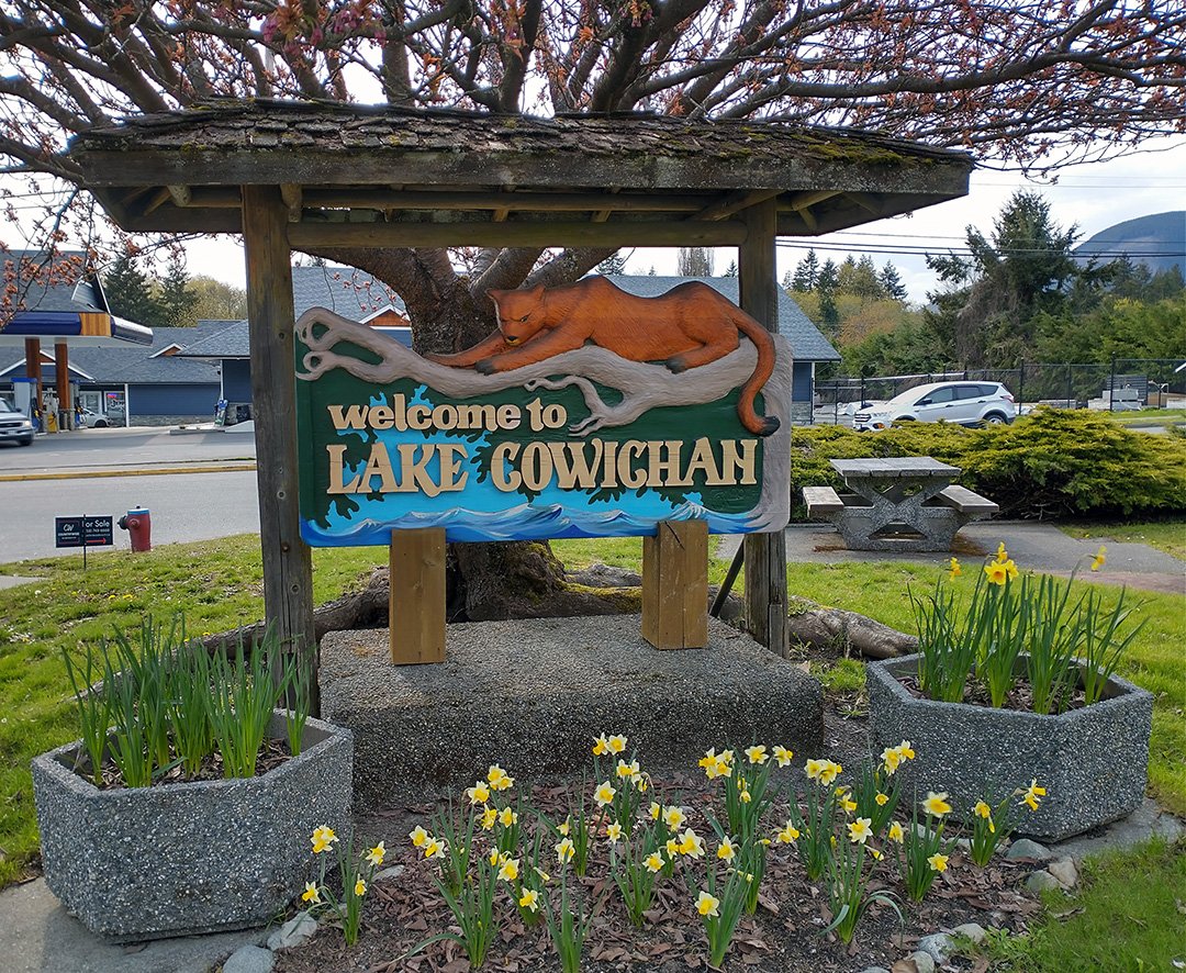
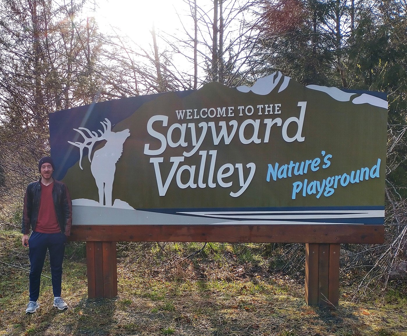
Every town on the Island seems to have one or several of these expensive-looking elaborate welcome signs.
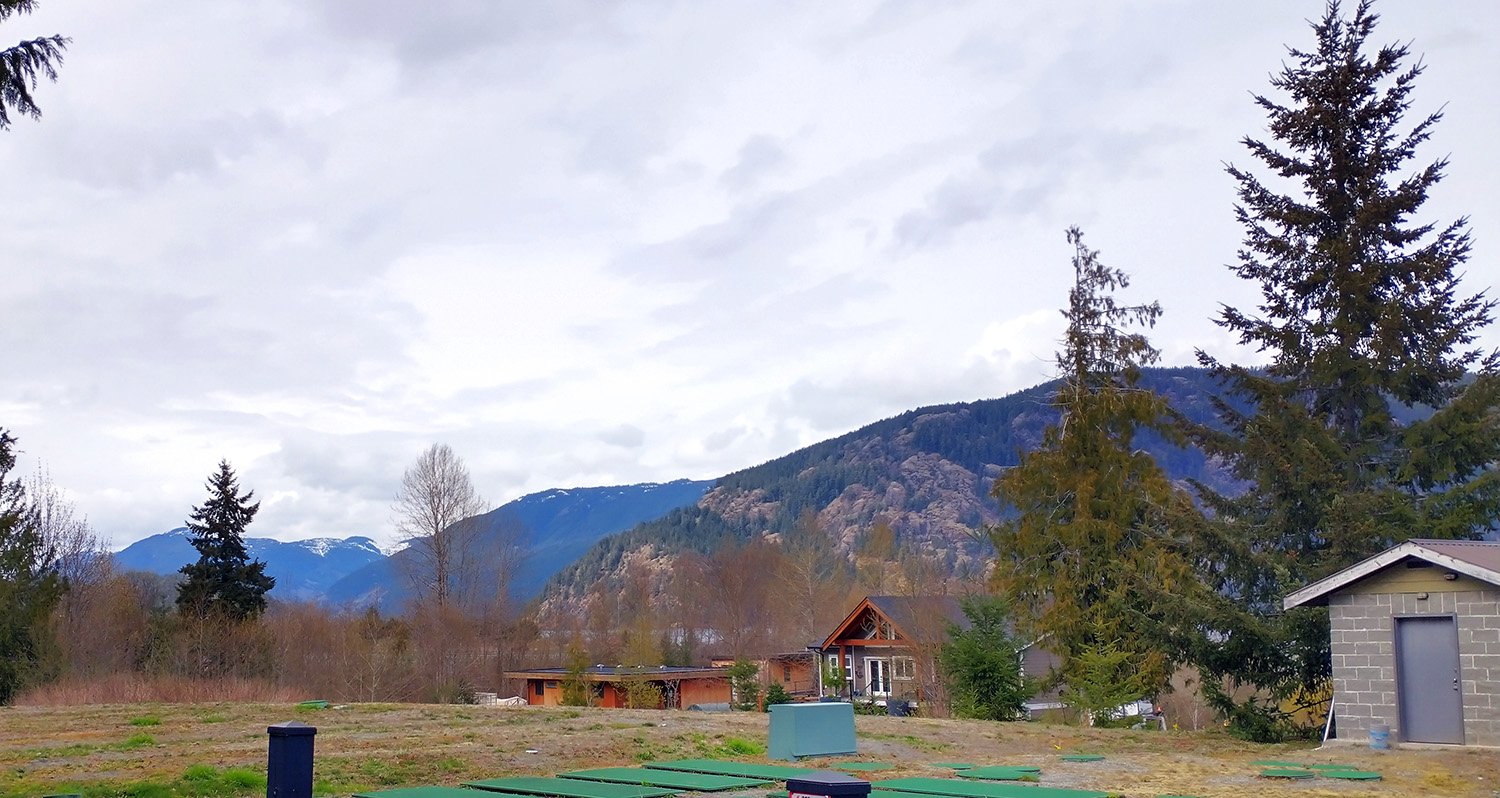
A typical west coast scene of large mountains behind a big lake. Get ready for a lot of pictures of this. Many people have expensive homes around this lake on the parts where the road is actually paved.
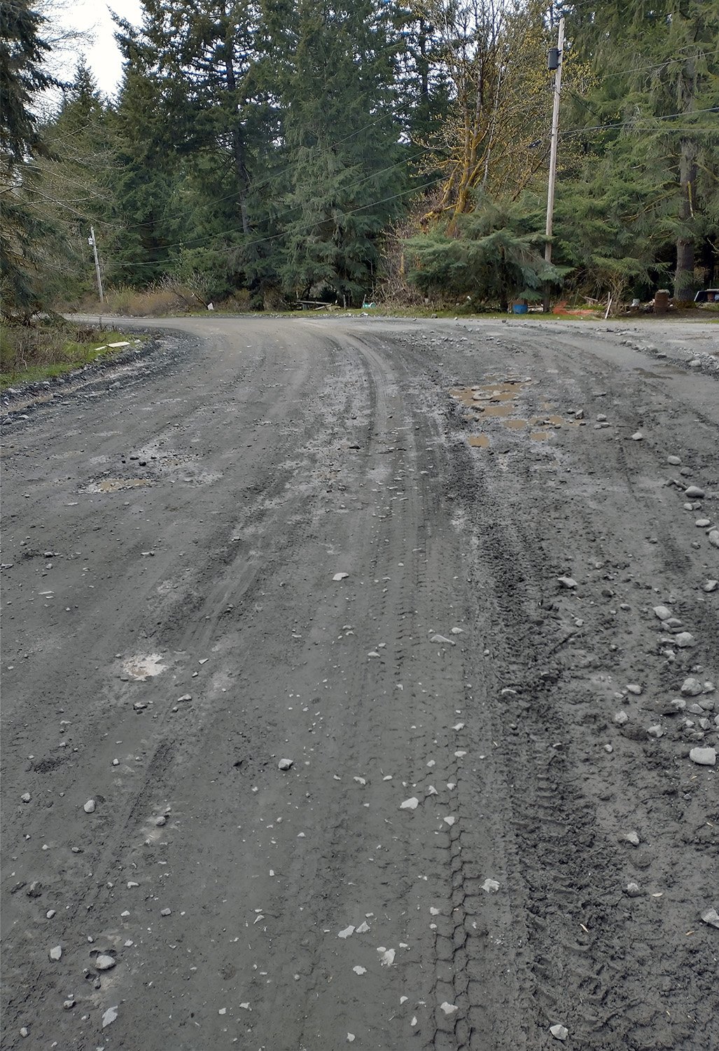
That’s what you have to look forward to for about 50km if you decide on this loop.
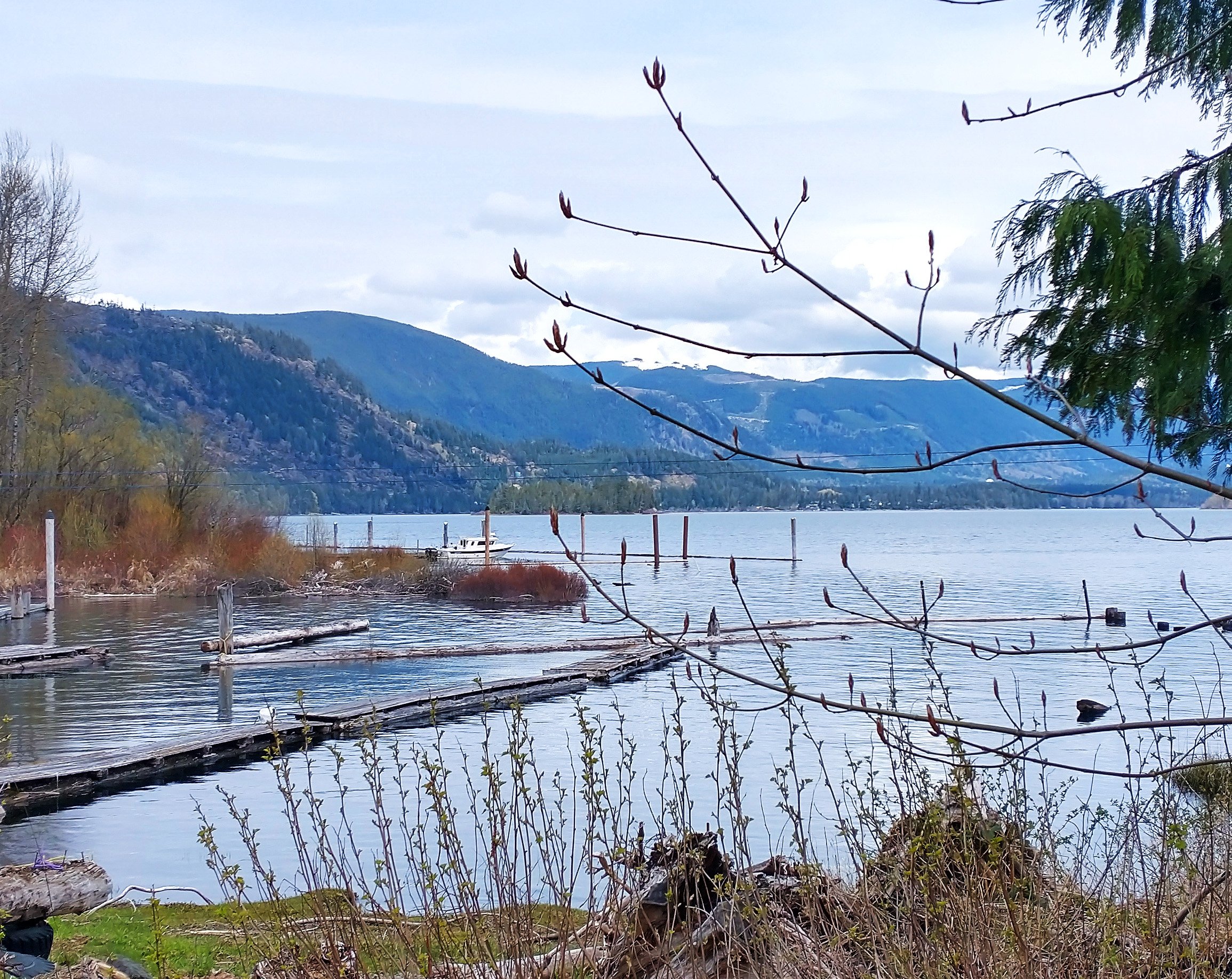
A sneak peek of the lake through someone’s yard.
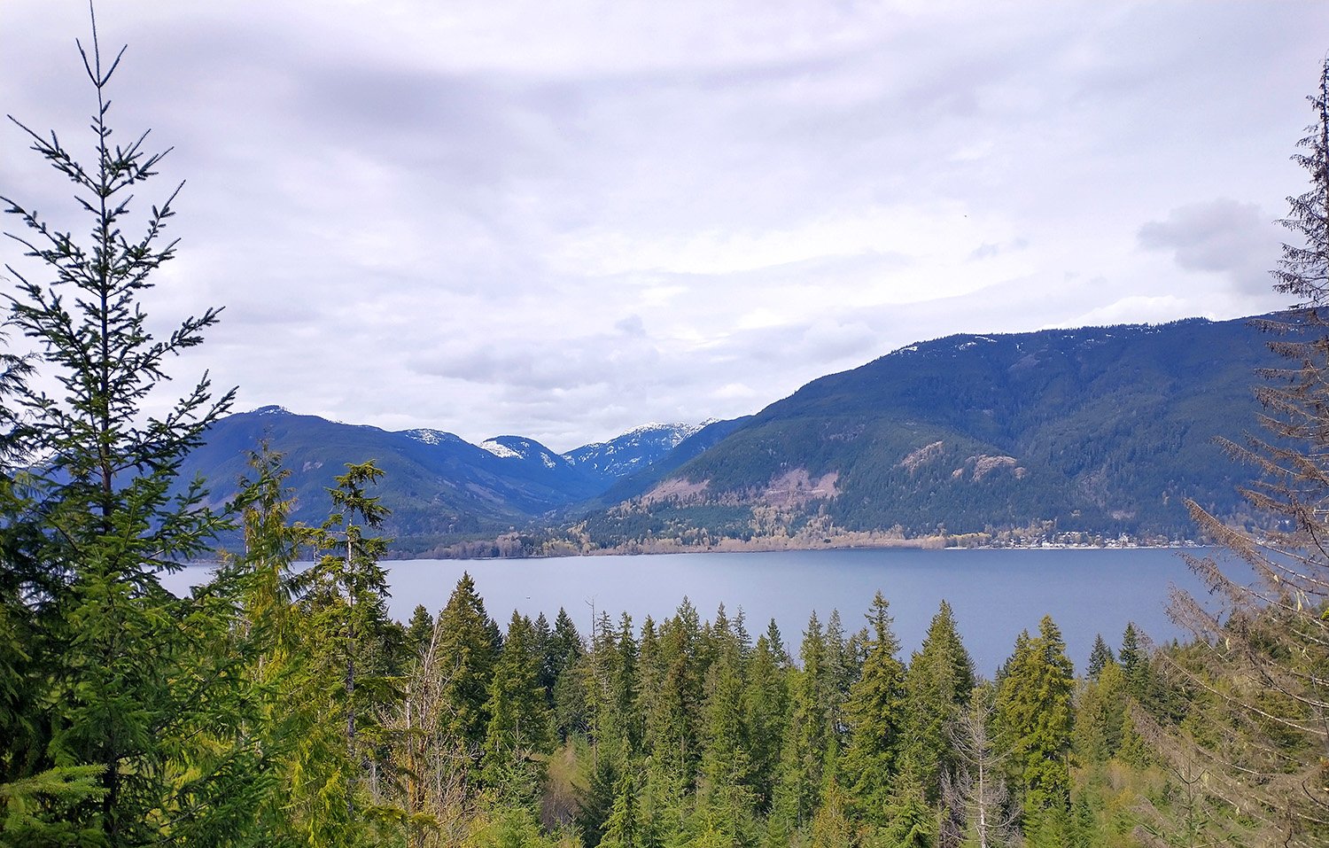
View from the top of the dirt climb. Most of this is campgrounds or just nothing. What a waste of real estate.
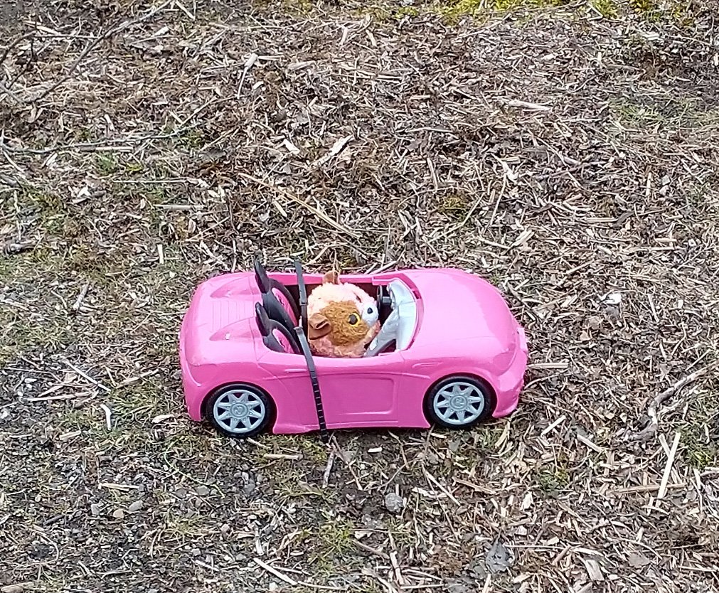
Some creative beach trash.
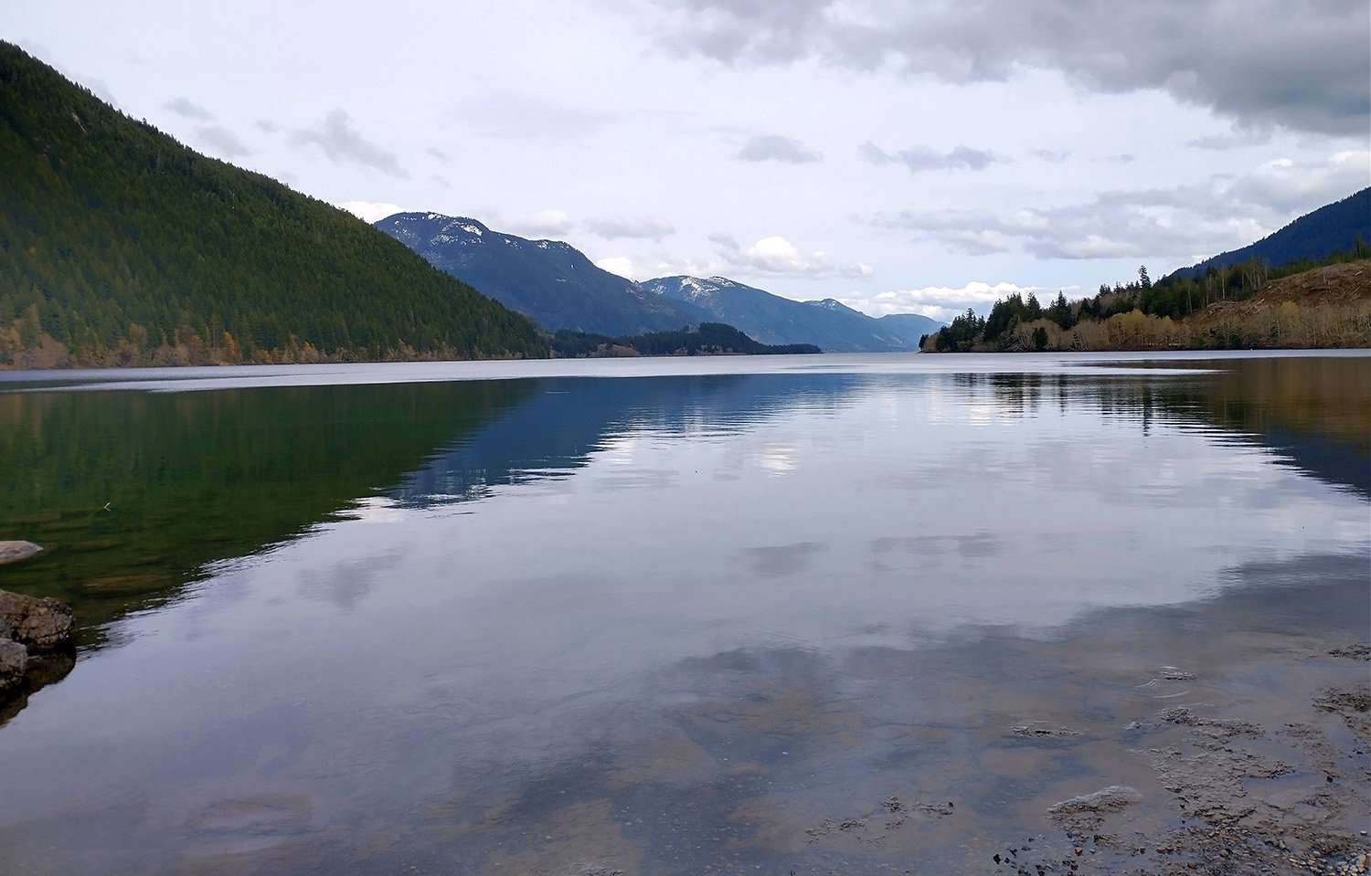
Another lake view from a campground-like area.
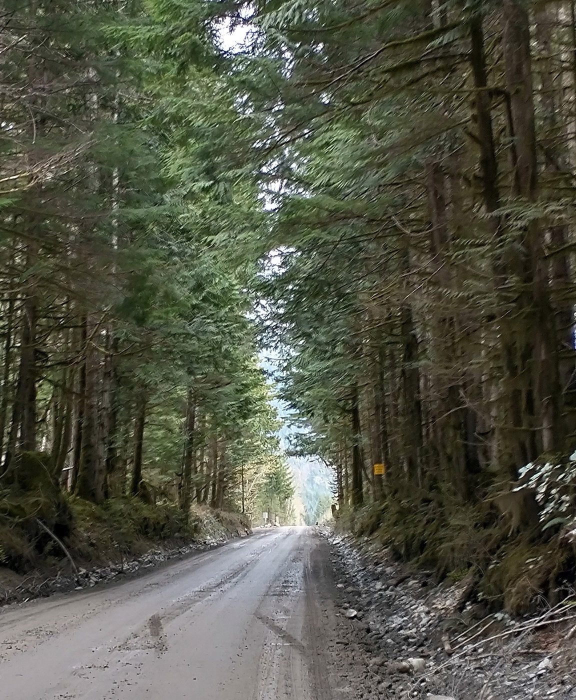
Thought this view of emerging from the tree tunnel was cool.
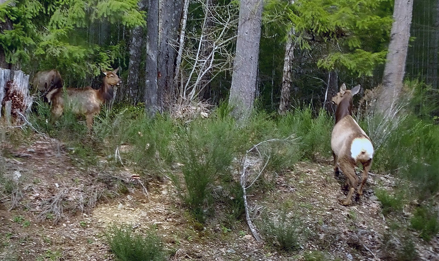
Same some elk chilling on the side of the road in the residential area.
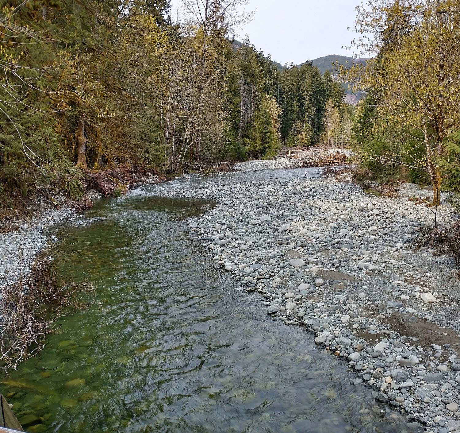
One of the 10 billion gravel rivers that cut through Vancouver Island.
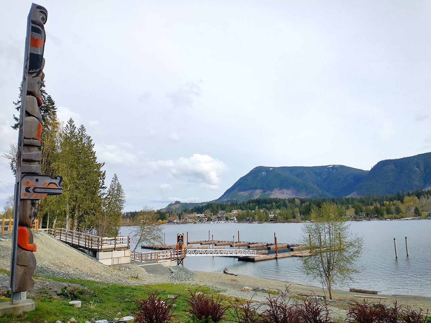
View from the north shore of the lake, in the residential area. Everyone on the Island is quite big into Totems as you’ll see.
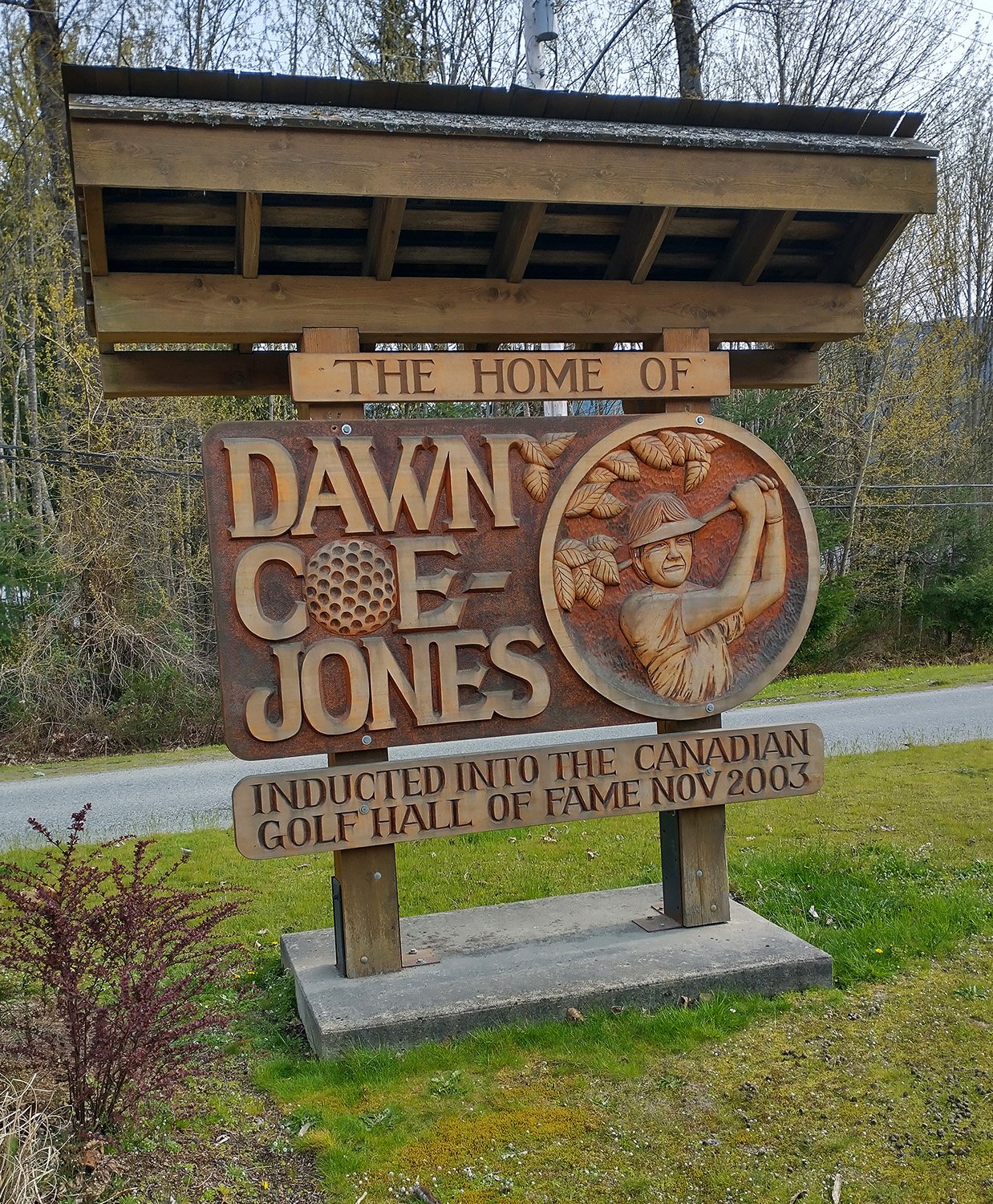
Okay.
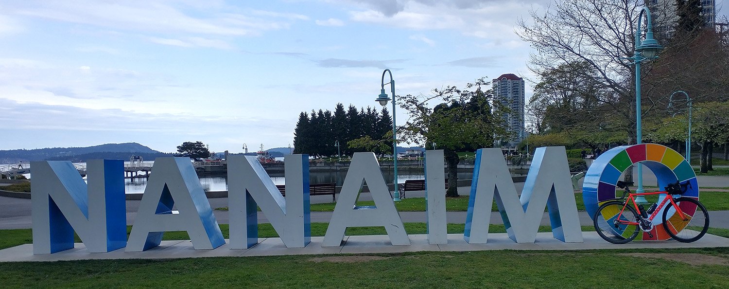
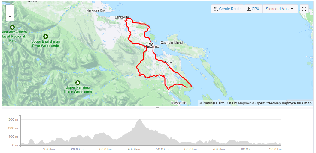
Up next is the quite beautiful albeit meth-y Nanaimo. As with many nice touristic areas in warm climates, it is slowly being overrun with bums. I started the ride from a public park and was almost immediately accosted by a police officer asking me if I slept there once he saw the bed in my SUV. I took this to mean that I look like a bum.
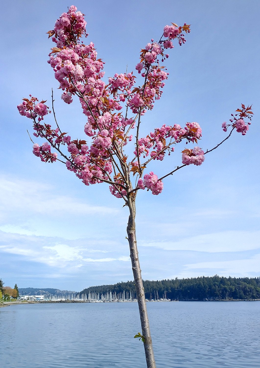
During the spring the entire Island’s residential areas are covered in various species of flowering cherry blossom trees. People love them.
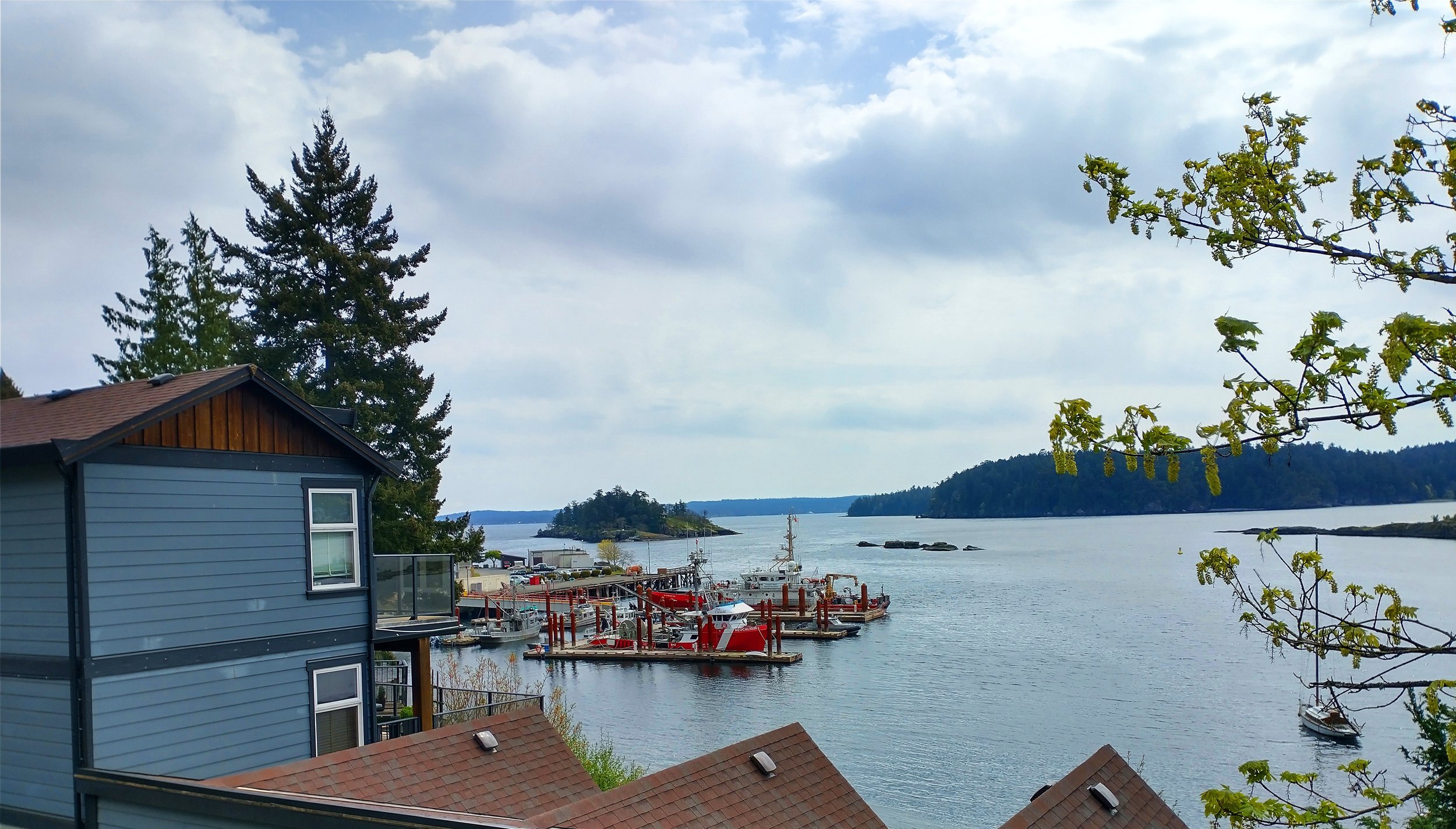
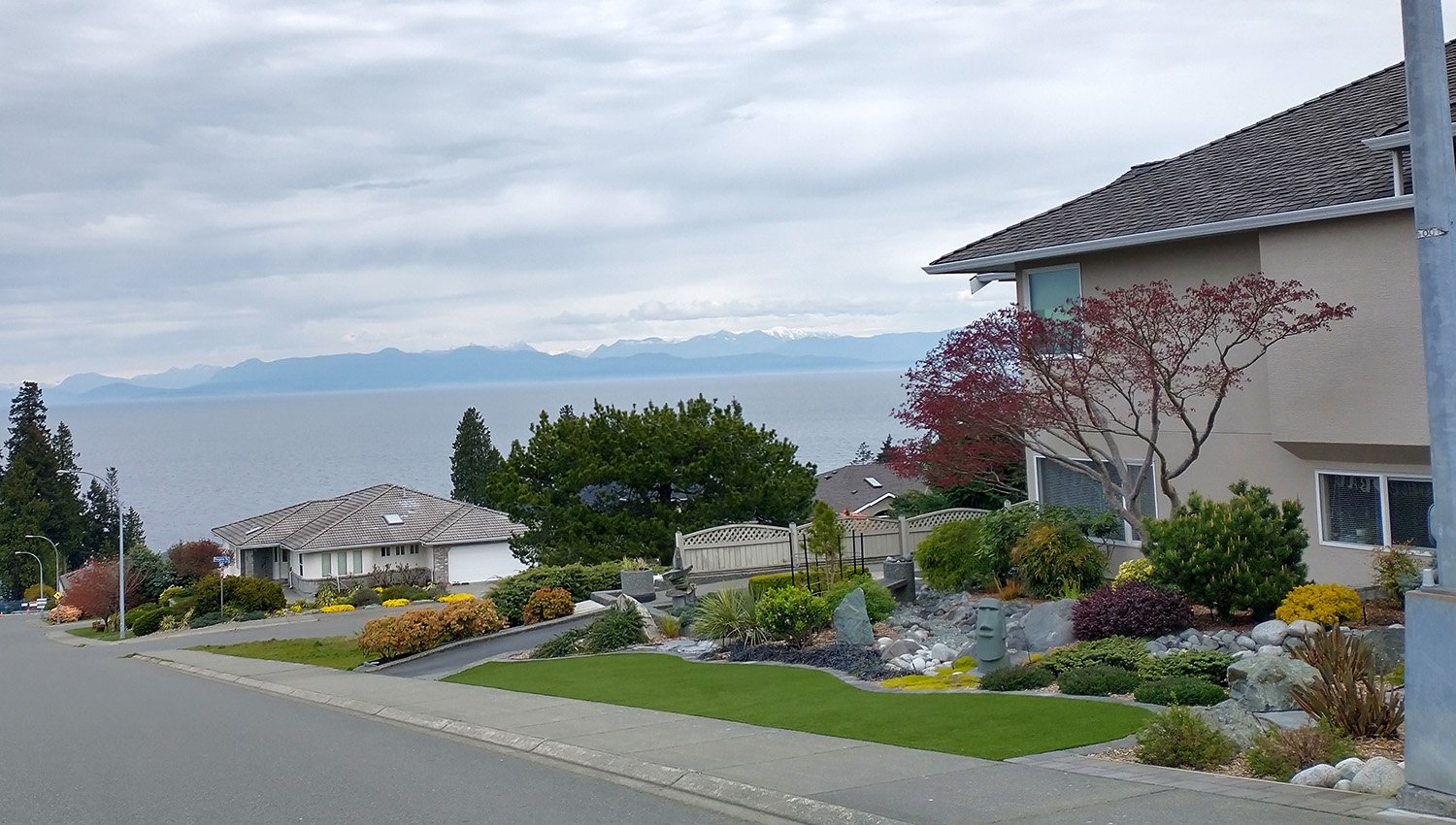
The town has nice quiet areas with amazing views of the mainland.
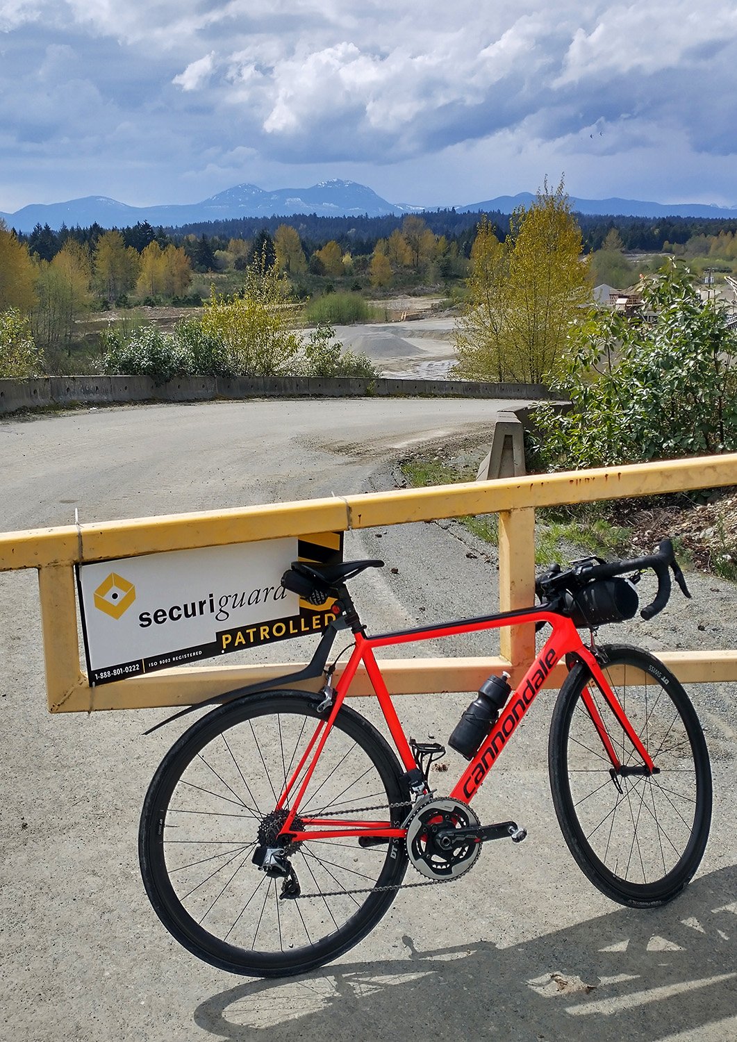
Open quarry. Just stressing that I did these rides before the actual good summer weather so imagine this but with no clouds.
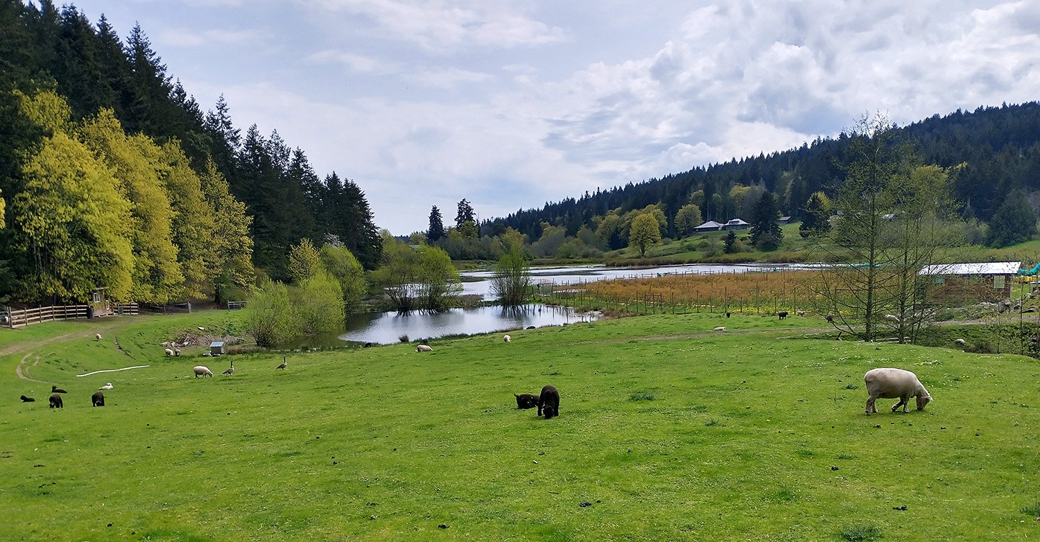
Once you move away from the shore, many parts of the Island have small farms, pastures and ranches. The screams of baby goats keep you company.
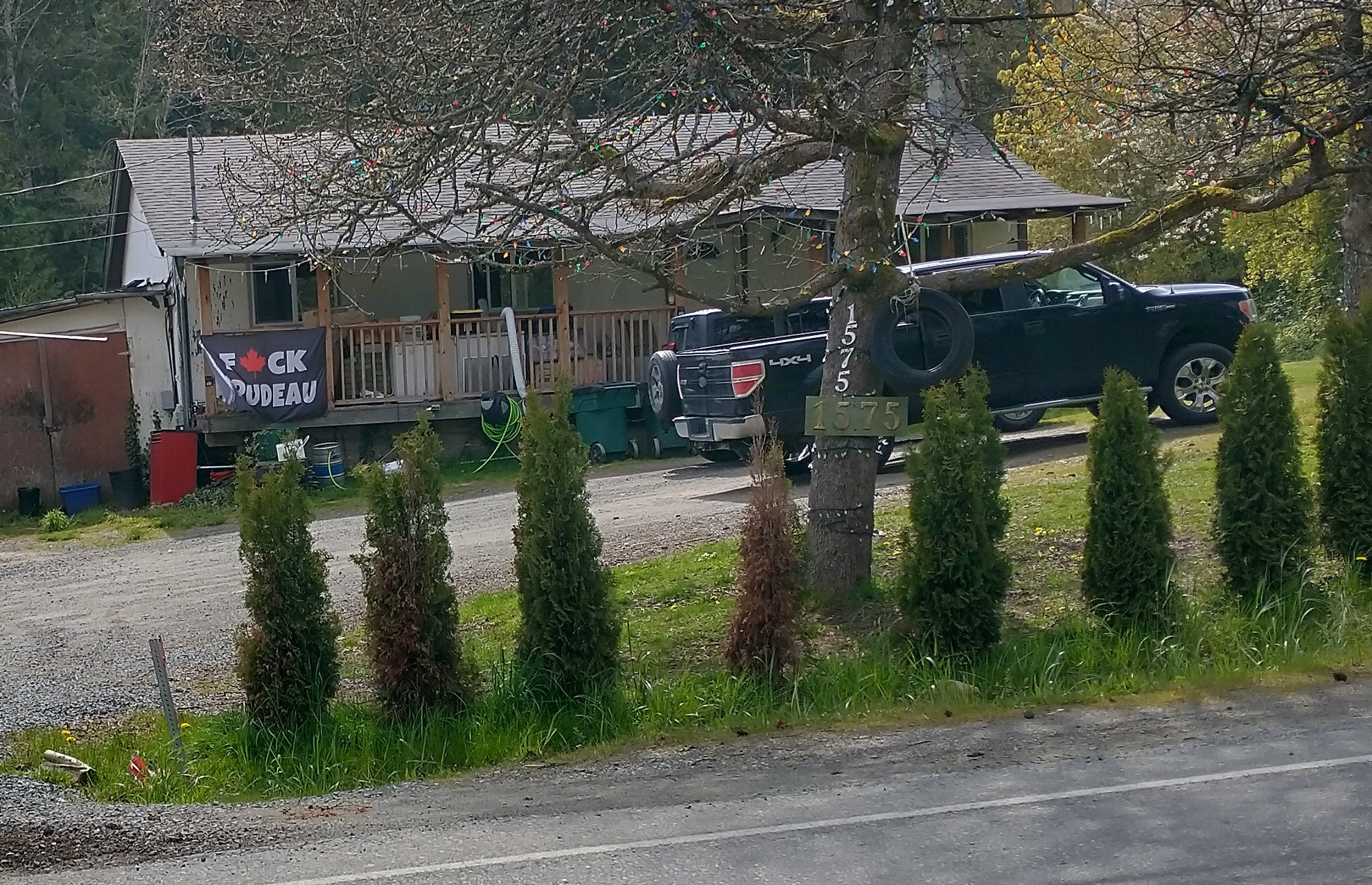
As much as the western portion of the Island is populated by rich privileged left-leaning people, many areas also contain the Canadian redneck boomer, zooming about in their $50 000 pickups trucks, hauling nothing but honks and anger.
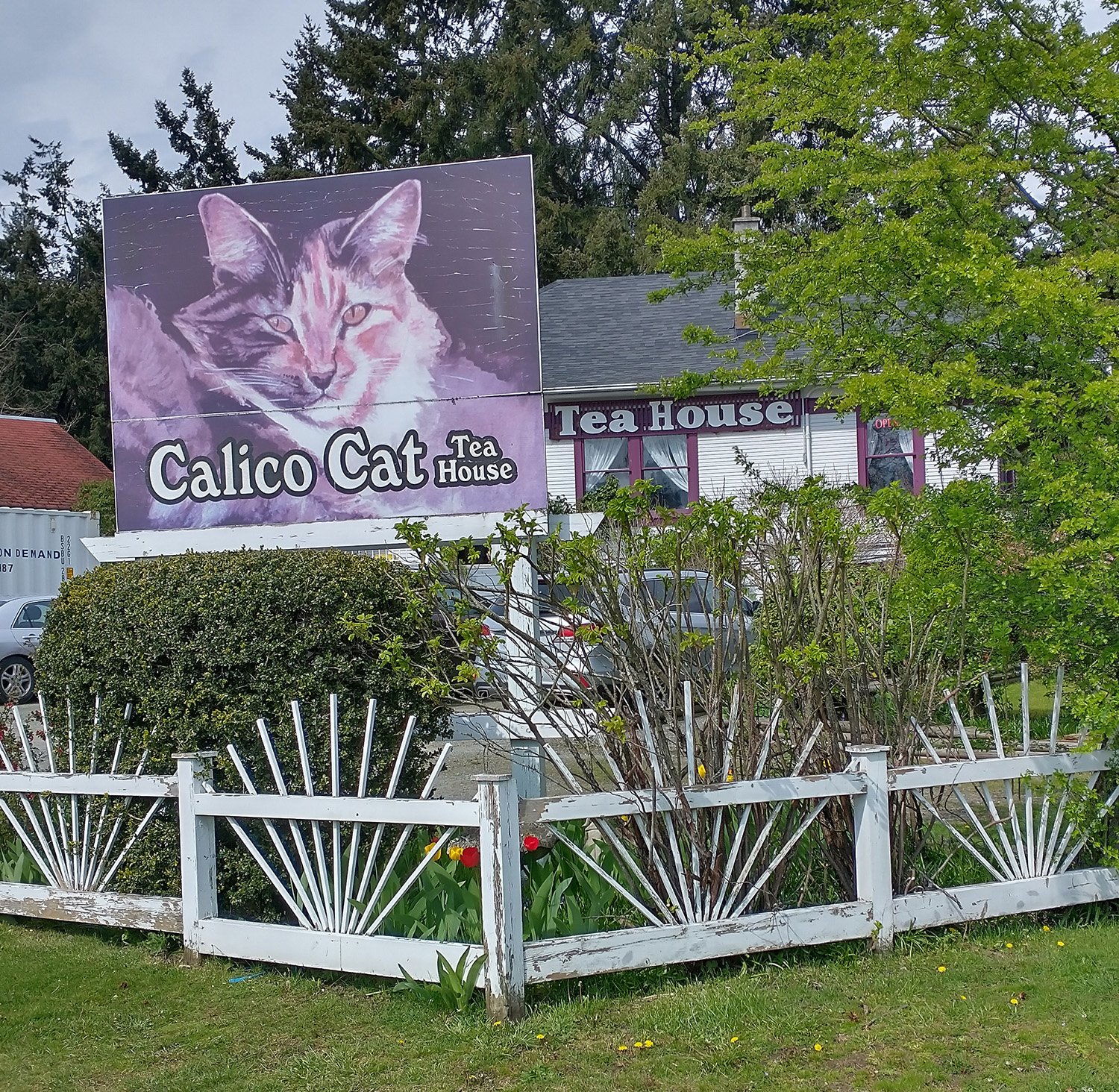
Tea made with cats, probably.
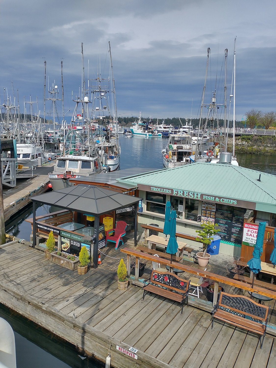
Back in the tourist part of town at the end of the ride. Be warned that a lot of stuff is randomly closed during the off season, which seems to be most of the year.
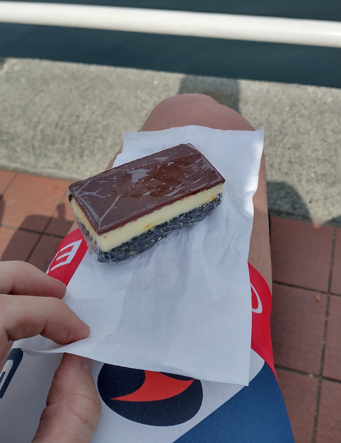
I still got a god damned Nanaimo bar though. The place I wanted to go to was closed at 4pm on a Sunday. Why.
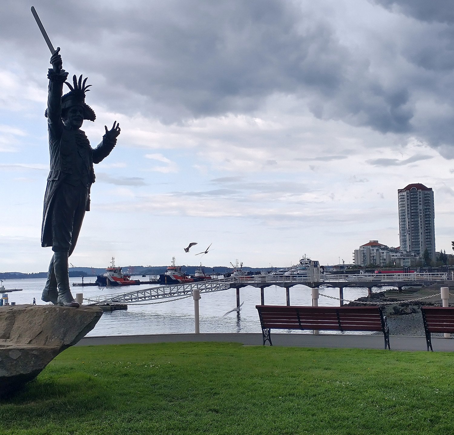
The park where I started from. There was a guy parked behind me who stayed in his car the entire time I was gone. I would rate his bum-ness a 7 out of 10.
Otherwise the park is a very nice place where endless people went to walk their dog while watching their phone, wishing they didn’t own a dog ( probably ).
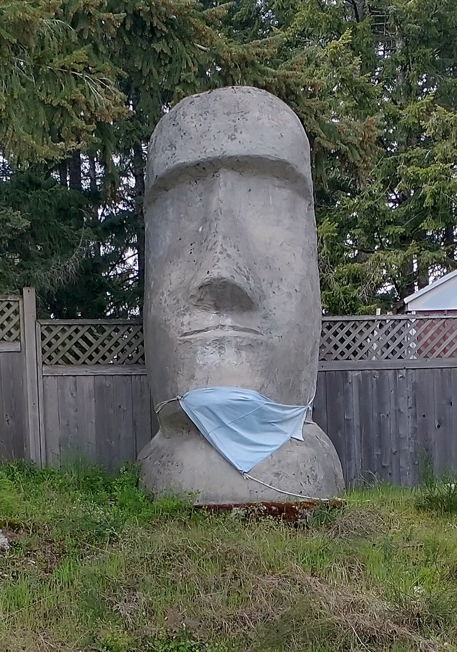
Some people have weird stuff on their yards.
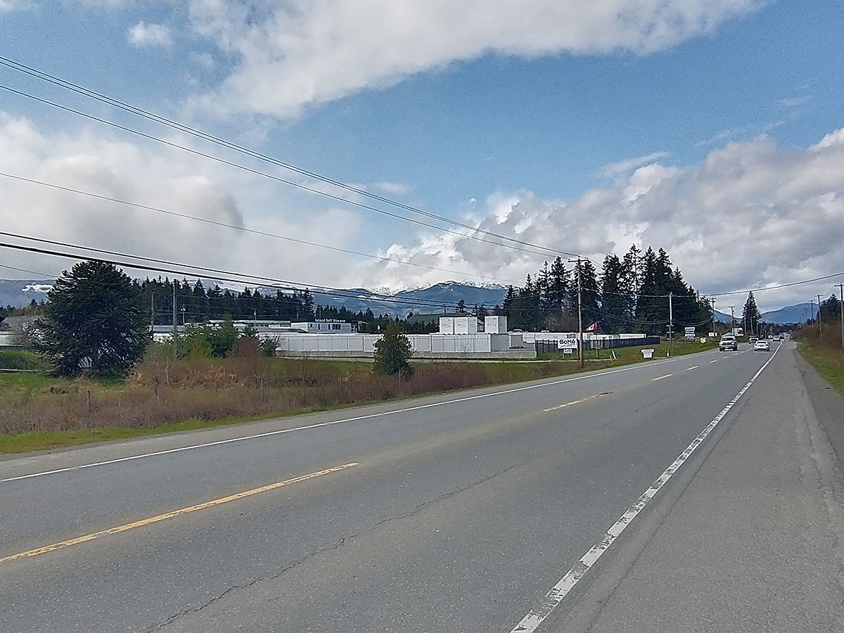
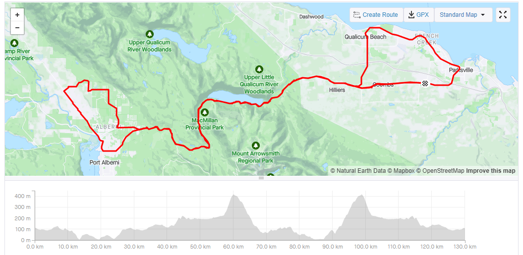
Start of the ride from Parksville. This high up the Island you start to see the larger mountains in the distance. Canada has gigantic mountains out in the middle of absolutely nowhere whereas the USA’s climate is warm enough that people actually live all over the west coast.
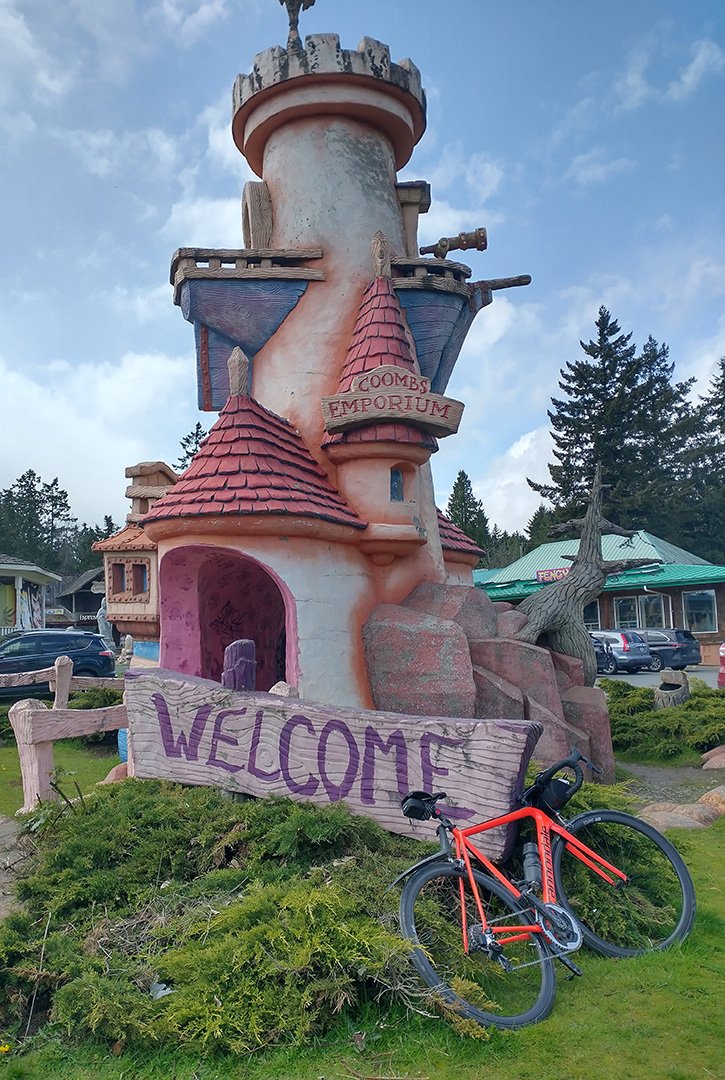
First thing you see is Coombs, a weird touristy little town that has no right to be there. There’s a restaurant with goats on top of it.
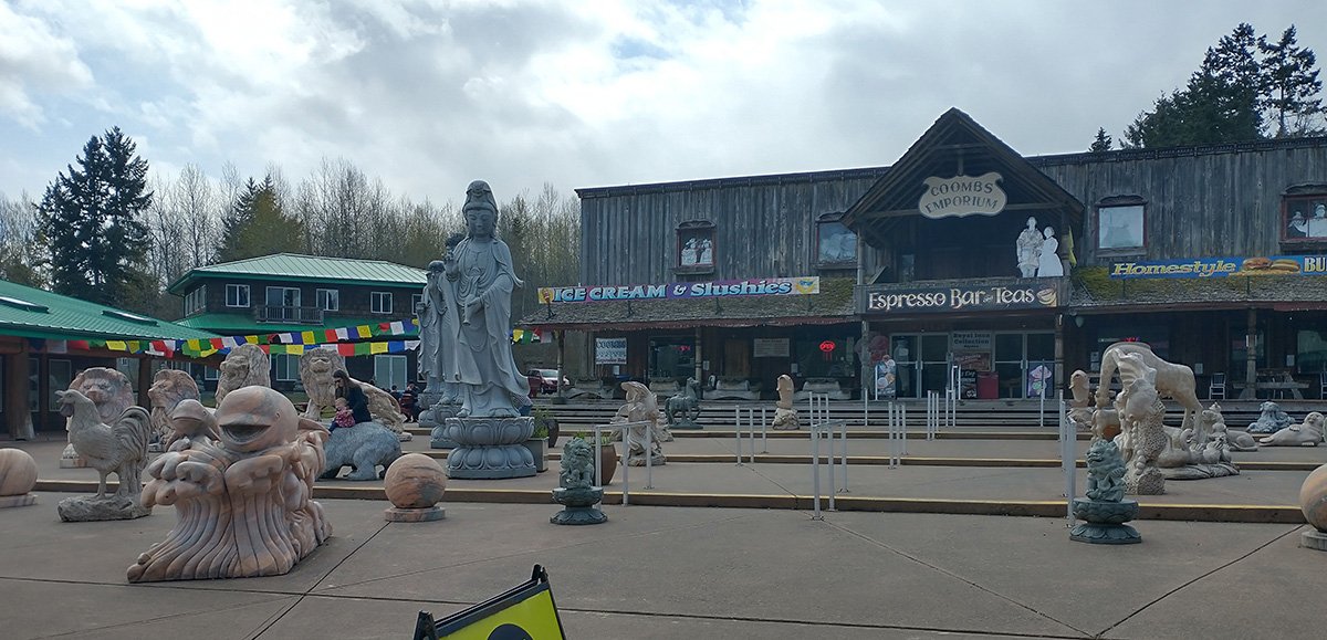
Pretty cool little plaza with a bunch of statues.
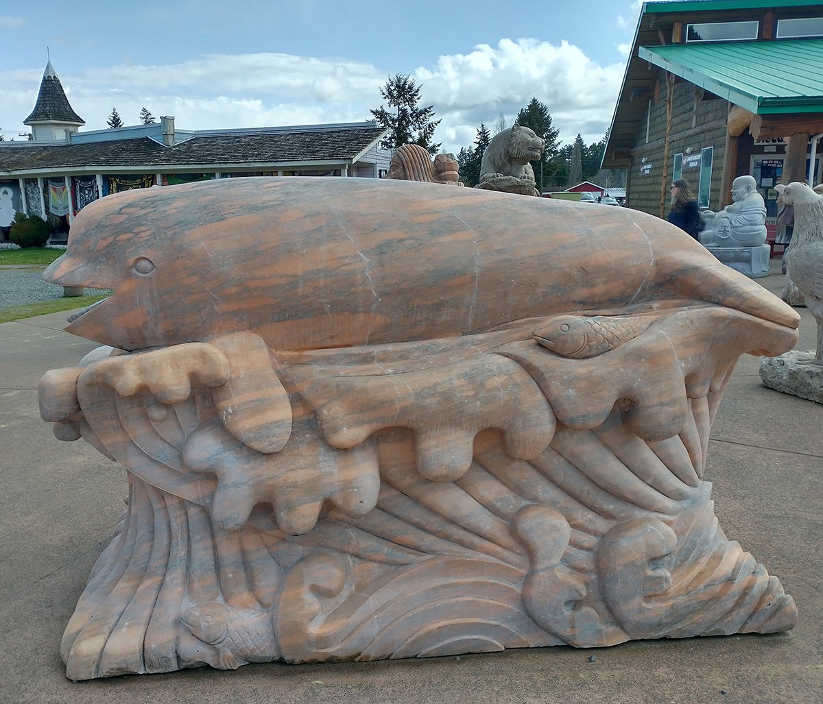
This thing looks in pain.
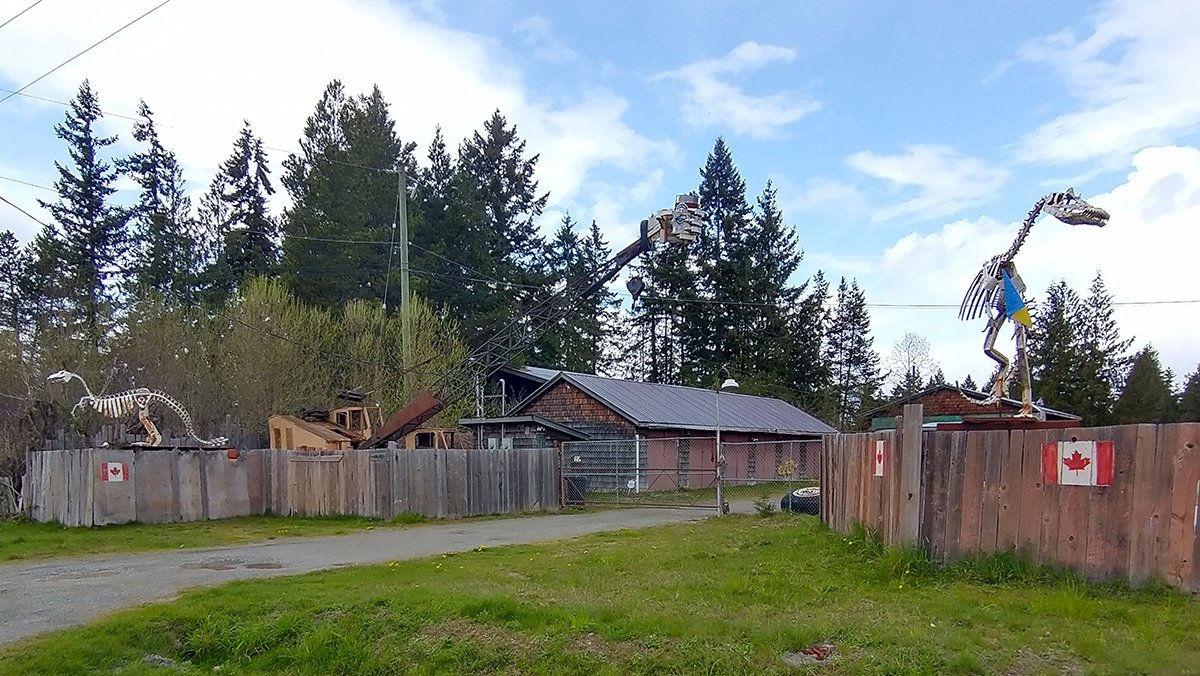
Continuing with the theme of people having weird stuff on their property. What a badass.
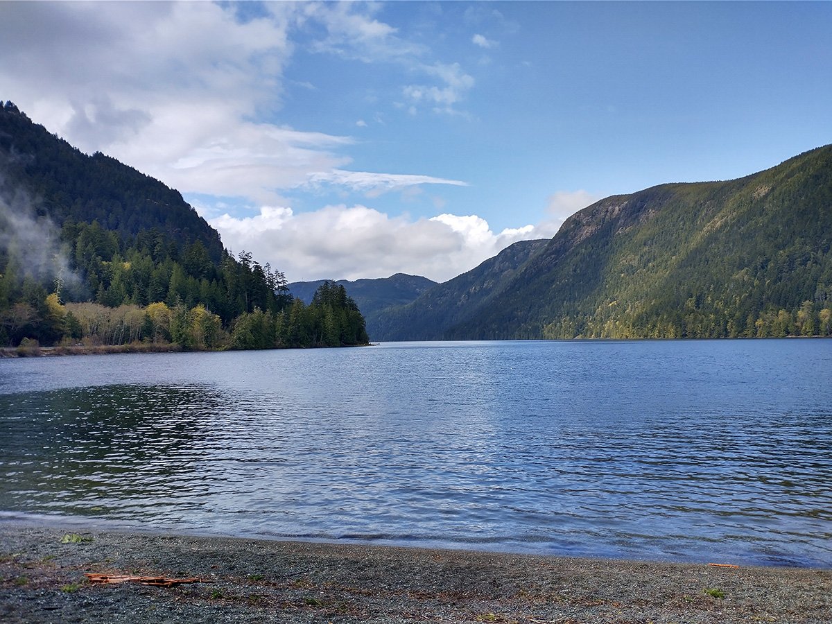
In the mountains going to Port Alberni you start to see amazing views that keep going if you drive all the way through to Tofino. Always with the theme of lakes and mountains of course.
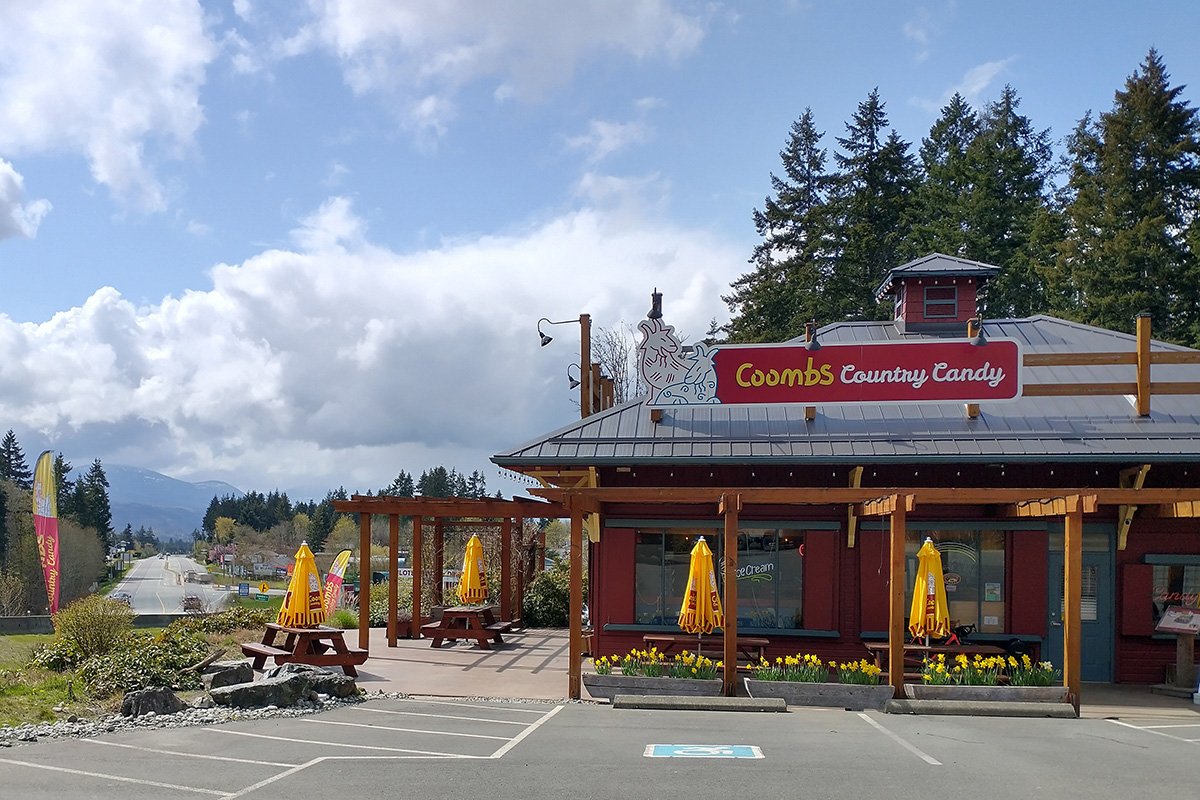
Had to stop here after being caught in a rainstorm in the mountains. Had to. No choice. Had to be done. The weather is ever-changing on the Island. Tiny clouds hover over random parts of it during the entire winter and shower you with random amounts of rain at random times. It could be 5 minutes or 5 hours, at 5am or 5pm.
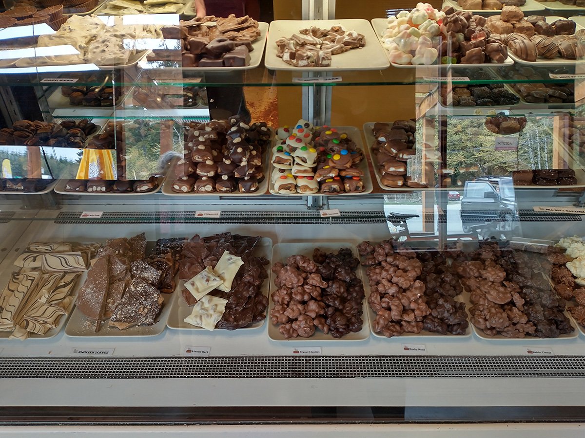
New love for artisanal fudge as bike food. God damn, son. Pure sugar.
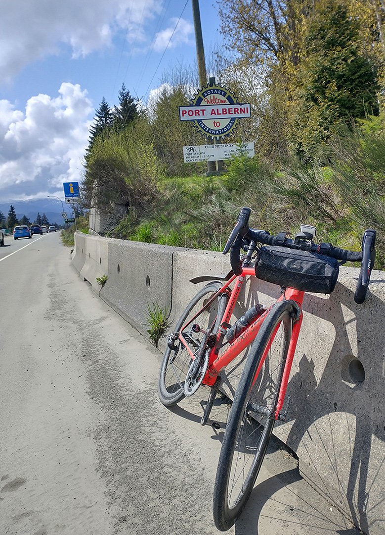
Sign for Port Alberni, which seemed like a nice quiet town, possibly with affordable housing.
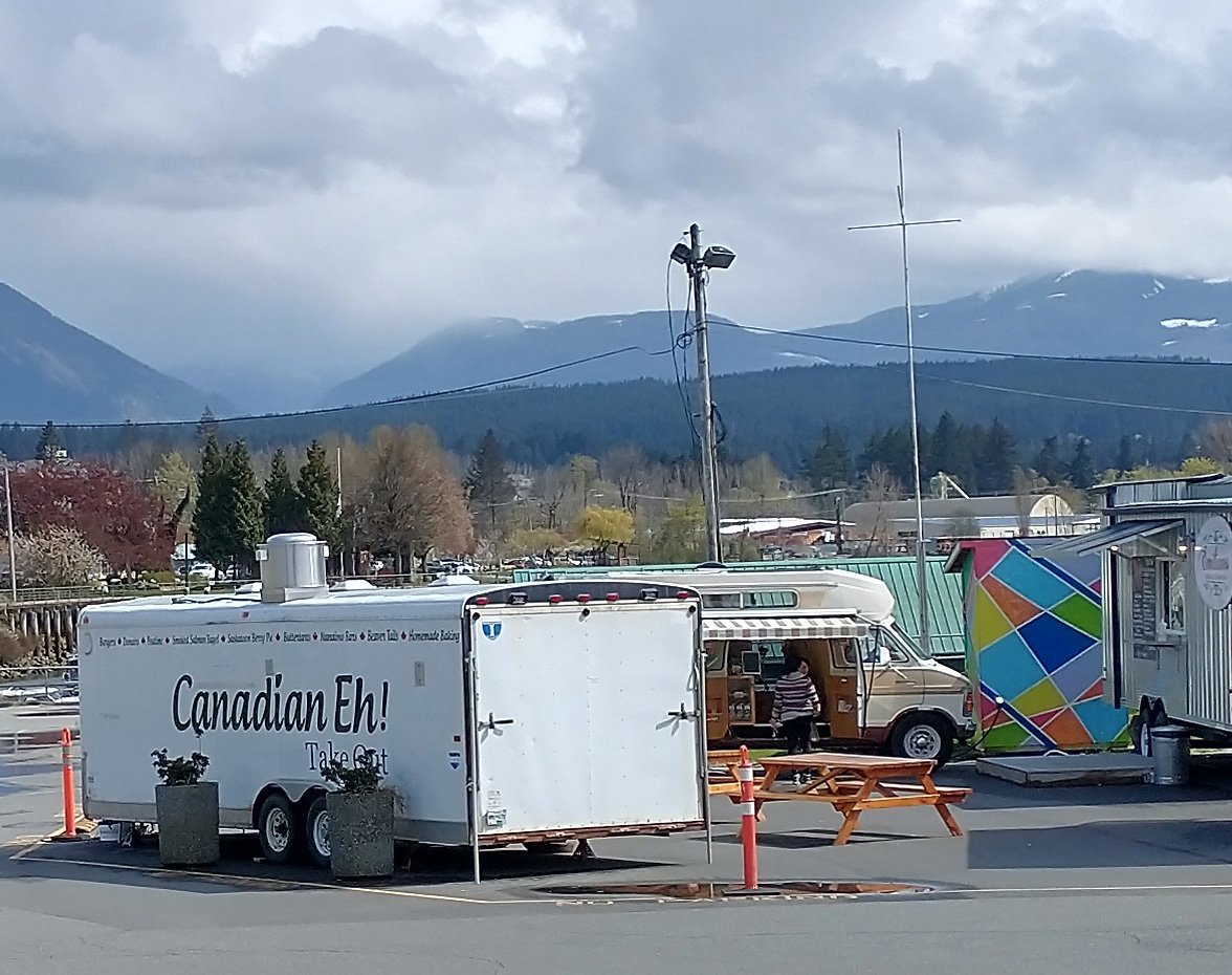
Yep.
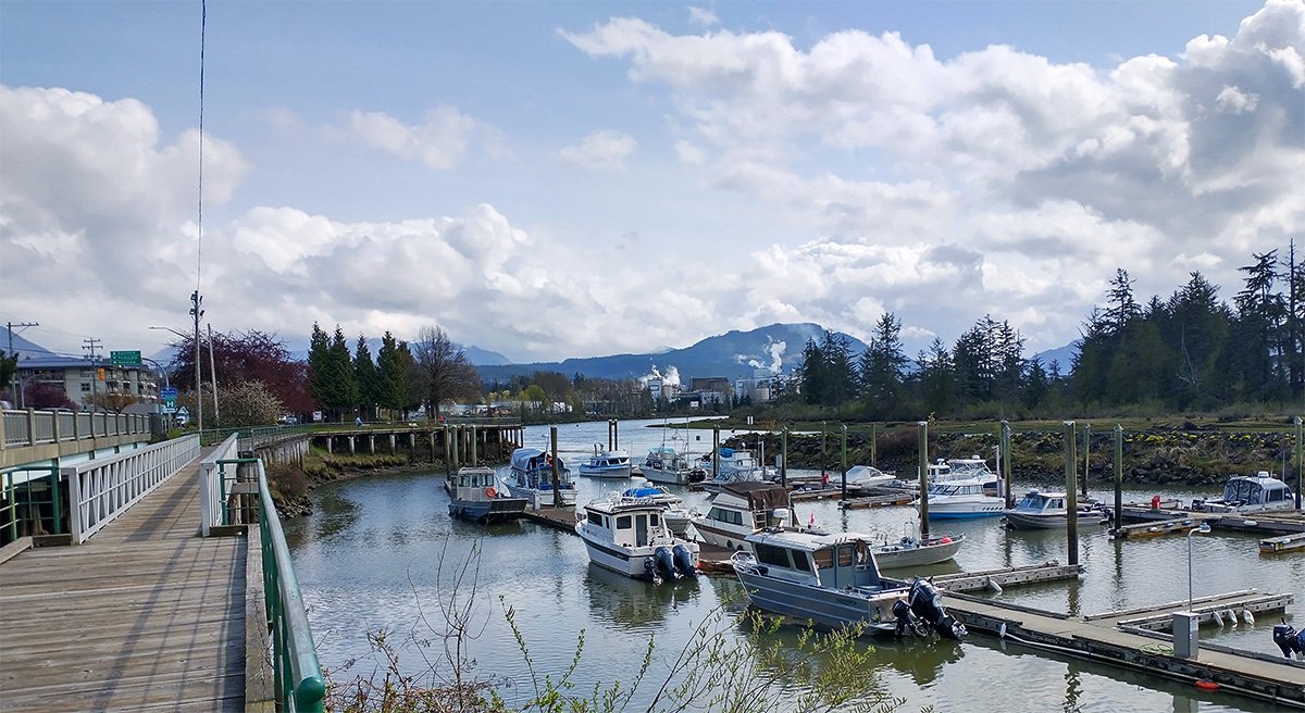
Unlike the other cities on the Island who have direct ocean access, Port Alberni’s harbor is much further inland. It feels like it shouldn’t even exist.
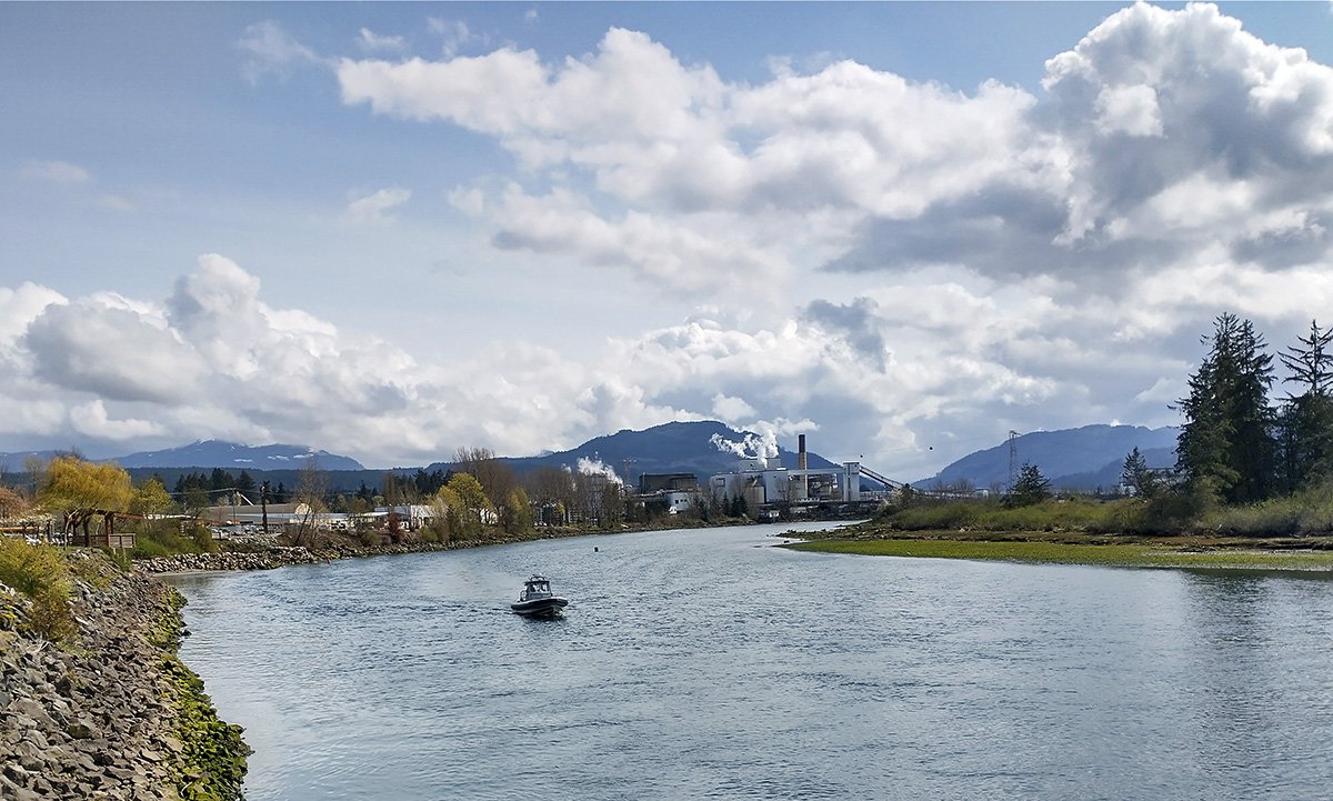
You can see smoke coming from an industrial area in the back there, bringing the smell of industry to all. Sure it helps to keep home values down around here. The river has a nice walking path along it with information about the wildlife. That’s a recurring theme here, they really want you to know about the bears and the eagles.
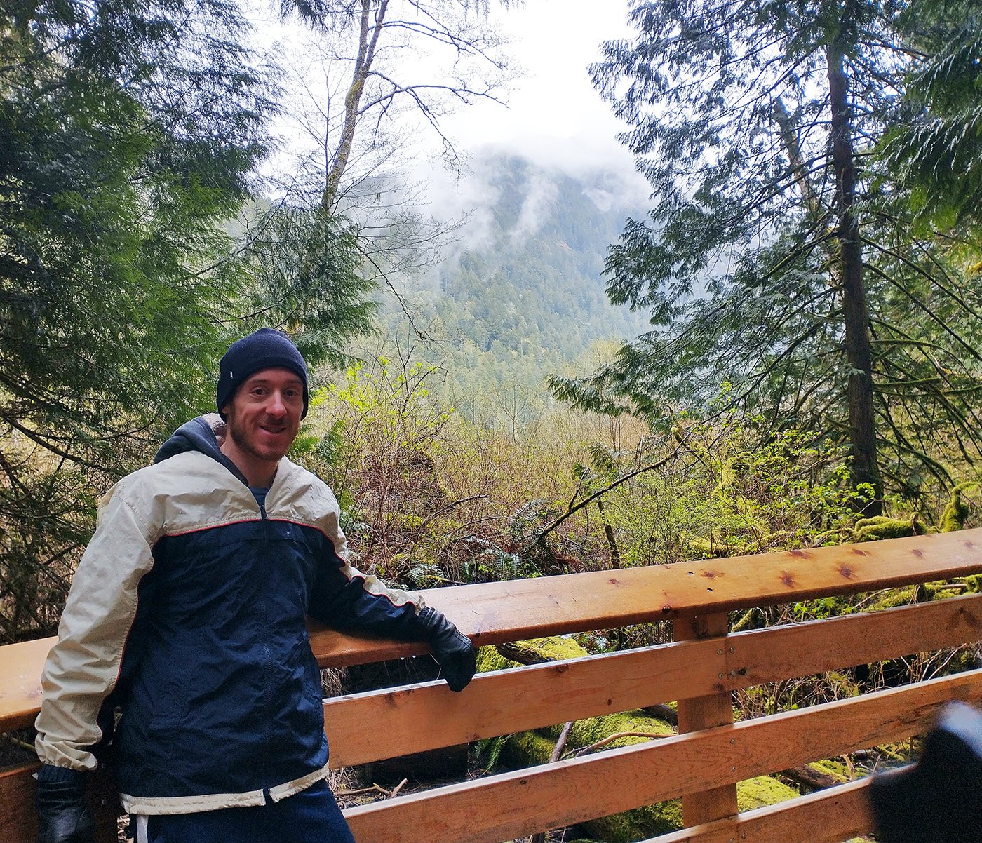
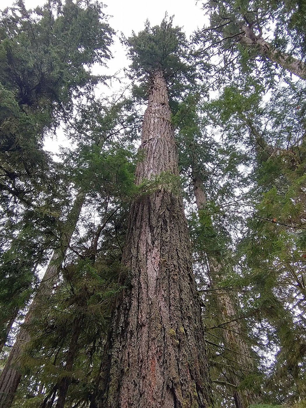
On the drive to Port Alberni you will cross Cathedral Grove, which is a little trail around some of the larger Redwoods on the island. Worth a stop as you can see everything in 20 minutes and it’s freeeeeeeeee.
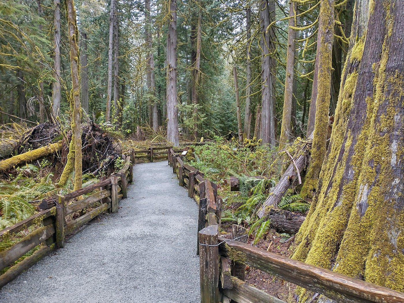
Looks like this!
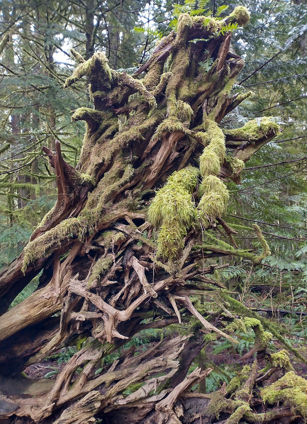
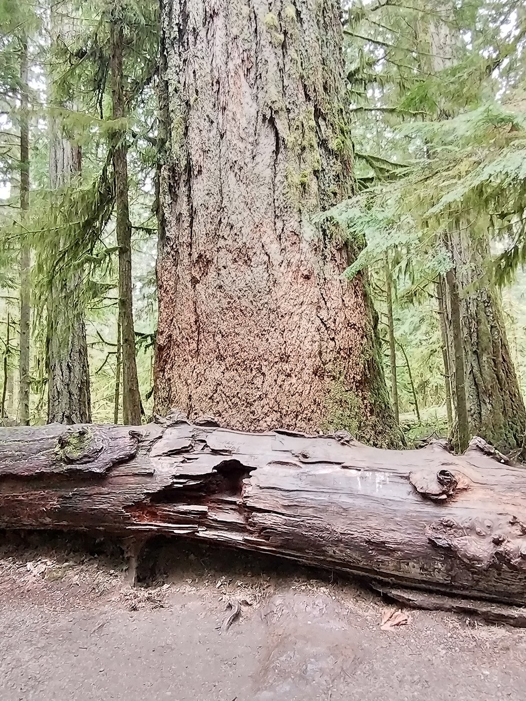
There’s many large fallen redwoods with all sorts of moss growing on them. Moss is also a big theme on Vancouver island. Everything’s covered in moss.
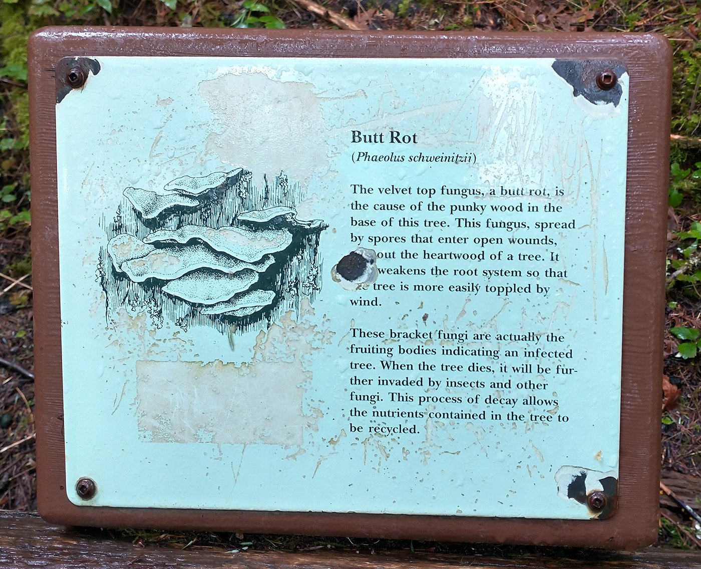
huhuhuhu
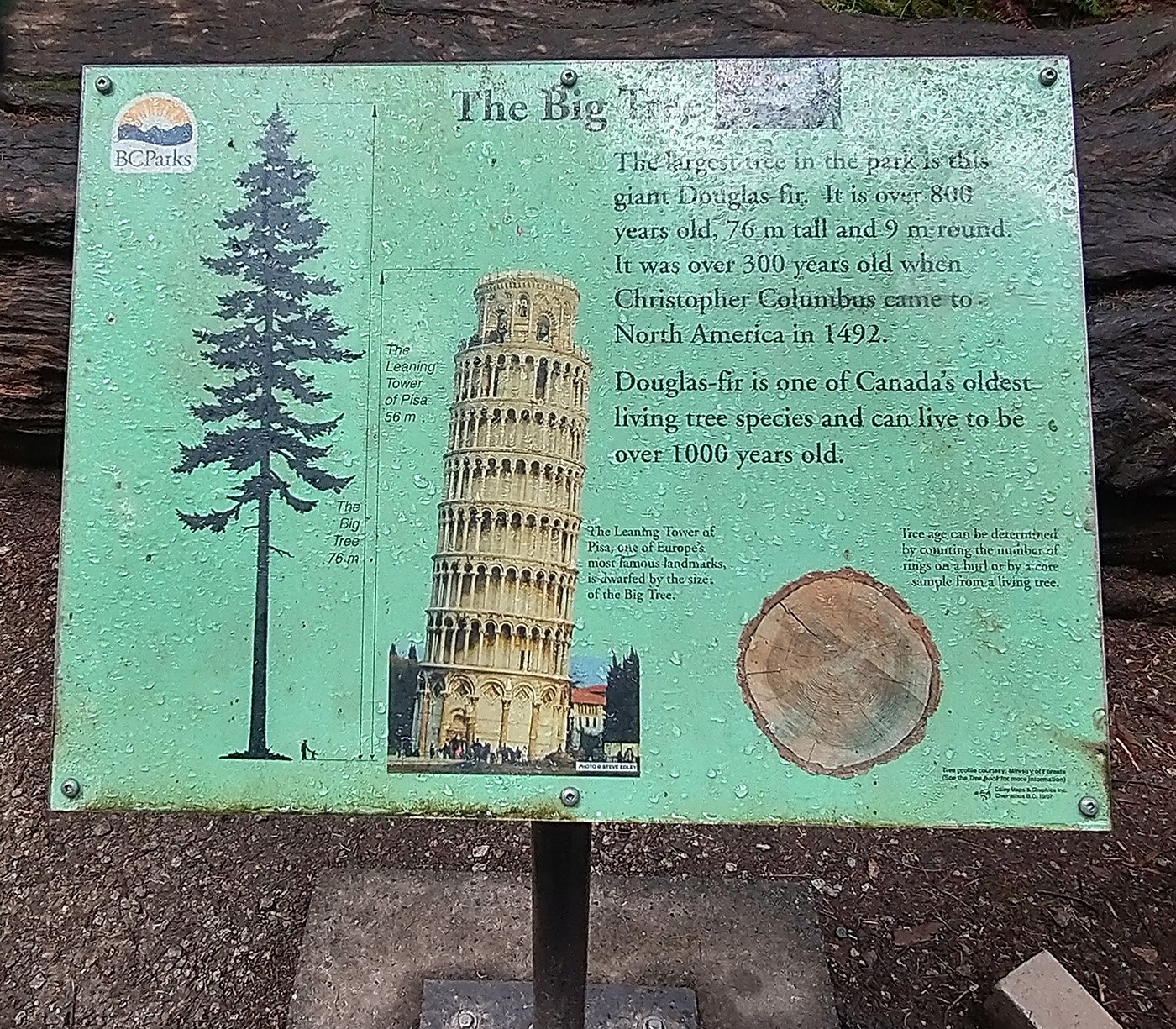
This is the biggest tree there. I guess you don’t need to go anymore.
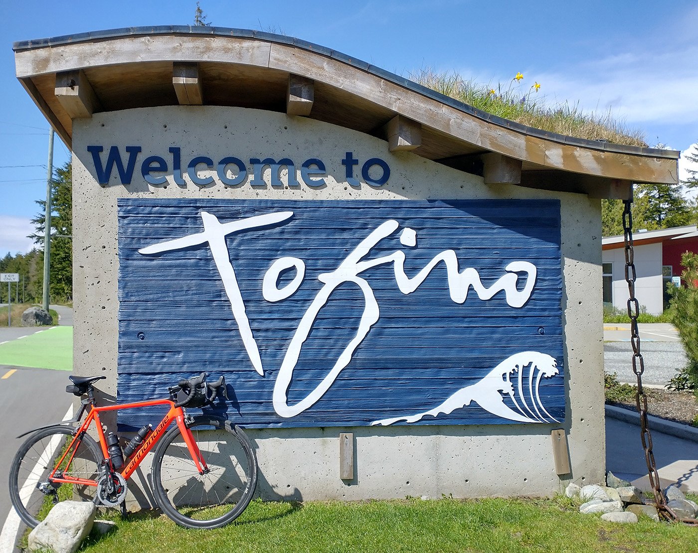
After crossing the mountains you finally reach Tofino, Vancouver Island’s prime destination for surfing and the biggest tourist trap around!
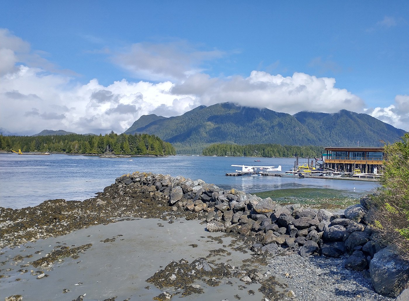
The town itself is very small and quaint but I imagine all those run-down shacks are 7 figures by now.
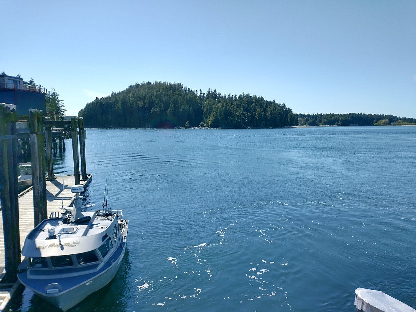
Tofino’s harbor.
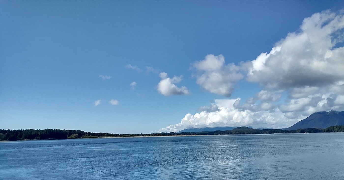
A typical Island view. Good spots to observe wildlife, especially sea birds of all sorts that my camera is too crappy to take pictures of.
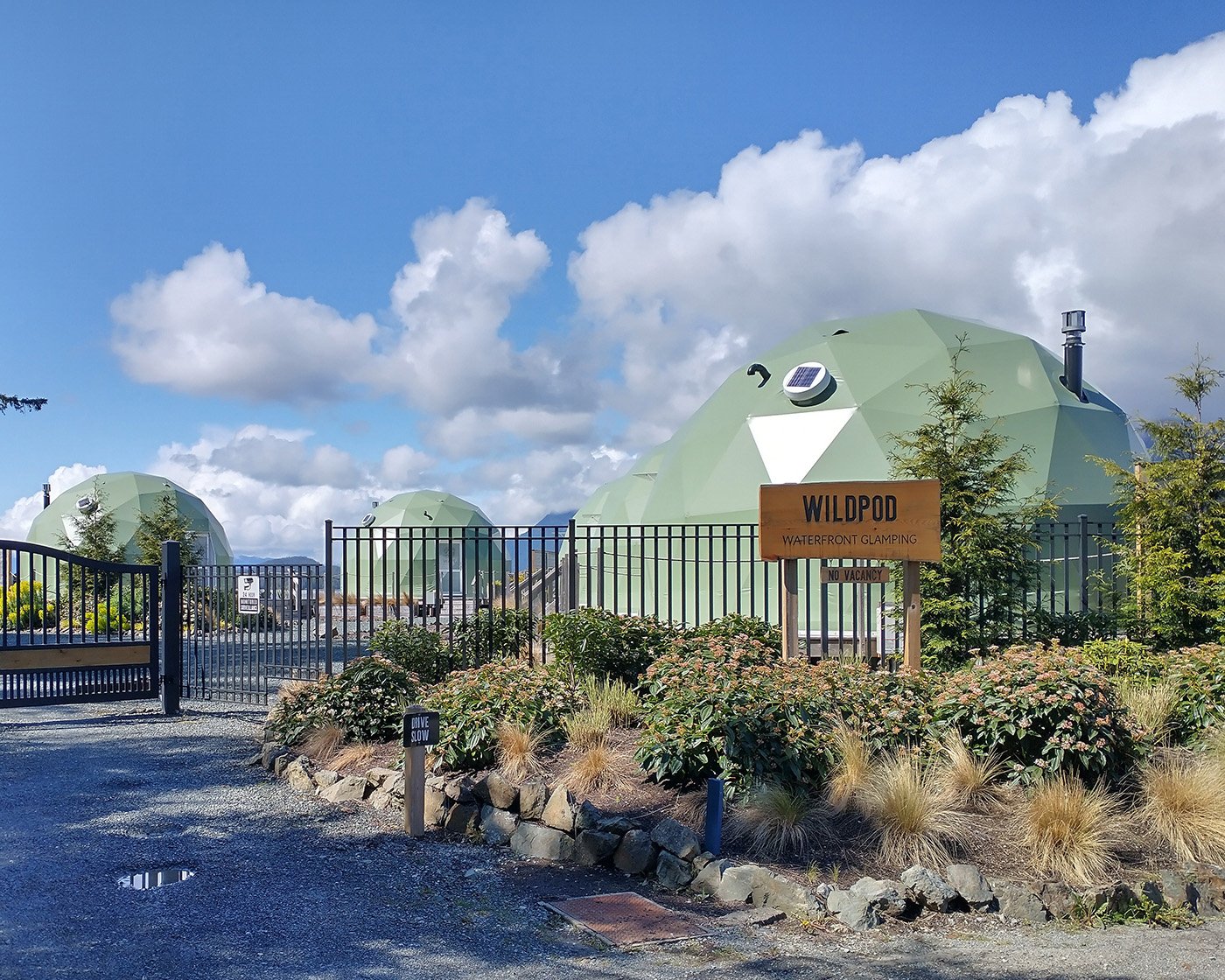
I don’t know what these are.
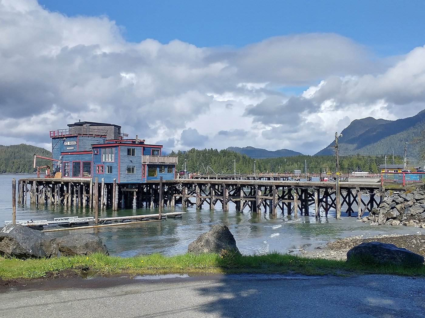
Little seafood restaurant on a pier. Also a very Island thing.
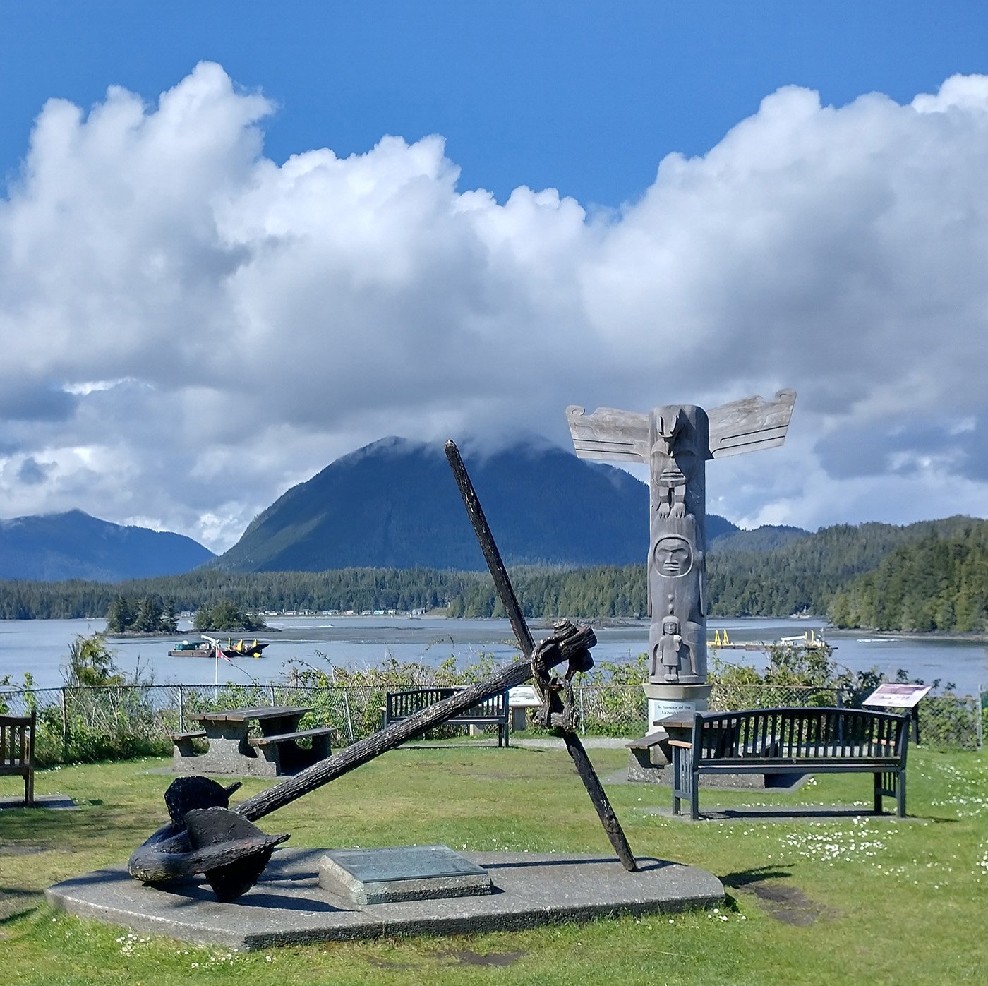
Did I mention they like totems? Because they do. Everywhere.
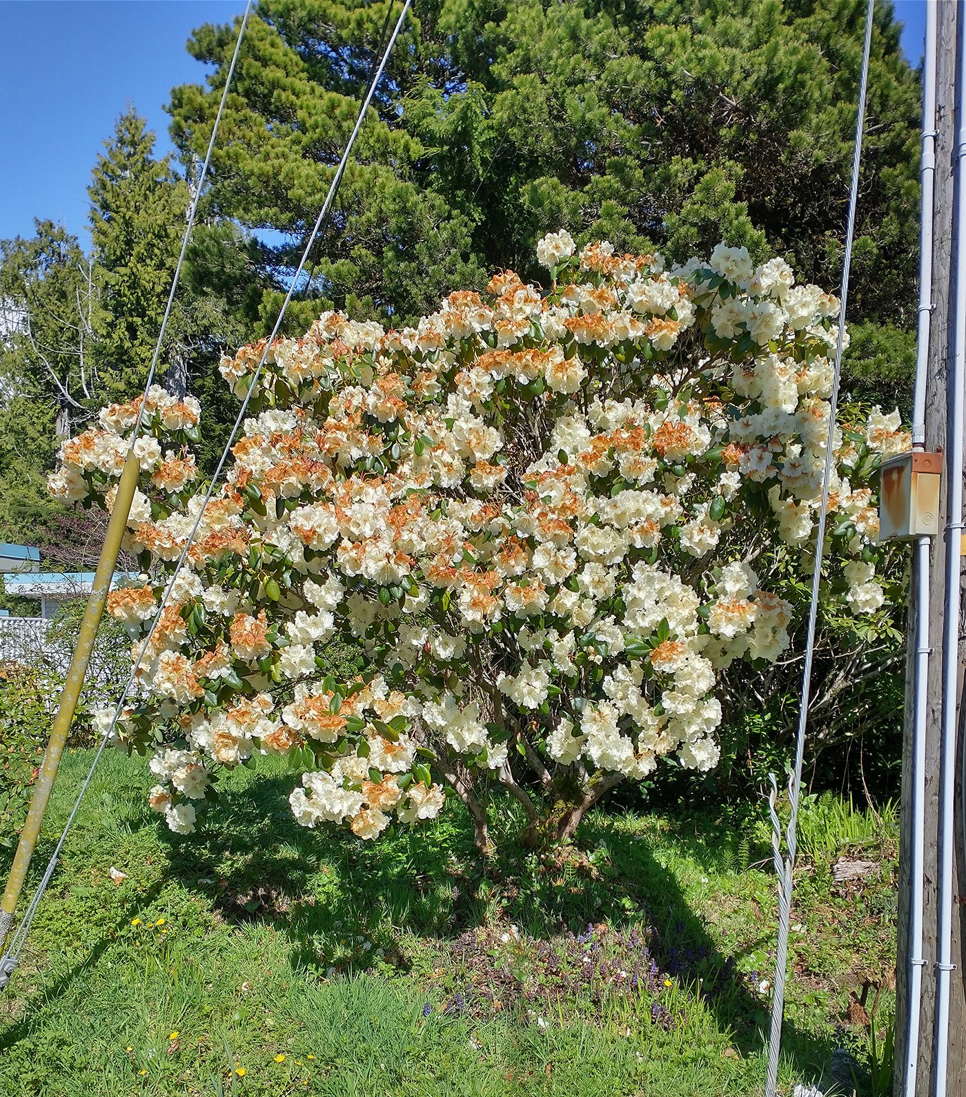
One thing I didn’t showcase is just how many flowers and gardens people maintain on Vancouver Island. There’s a lot of money and old people around and if you combine those you get lots of old ladies with huge gardens.
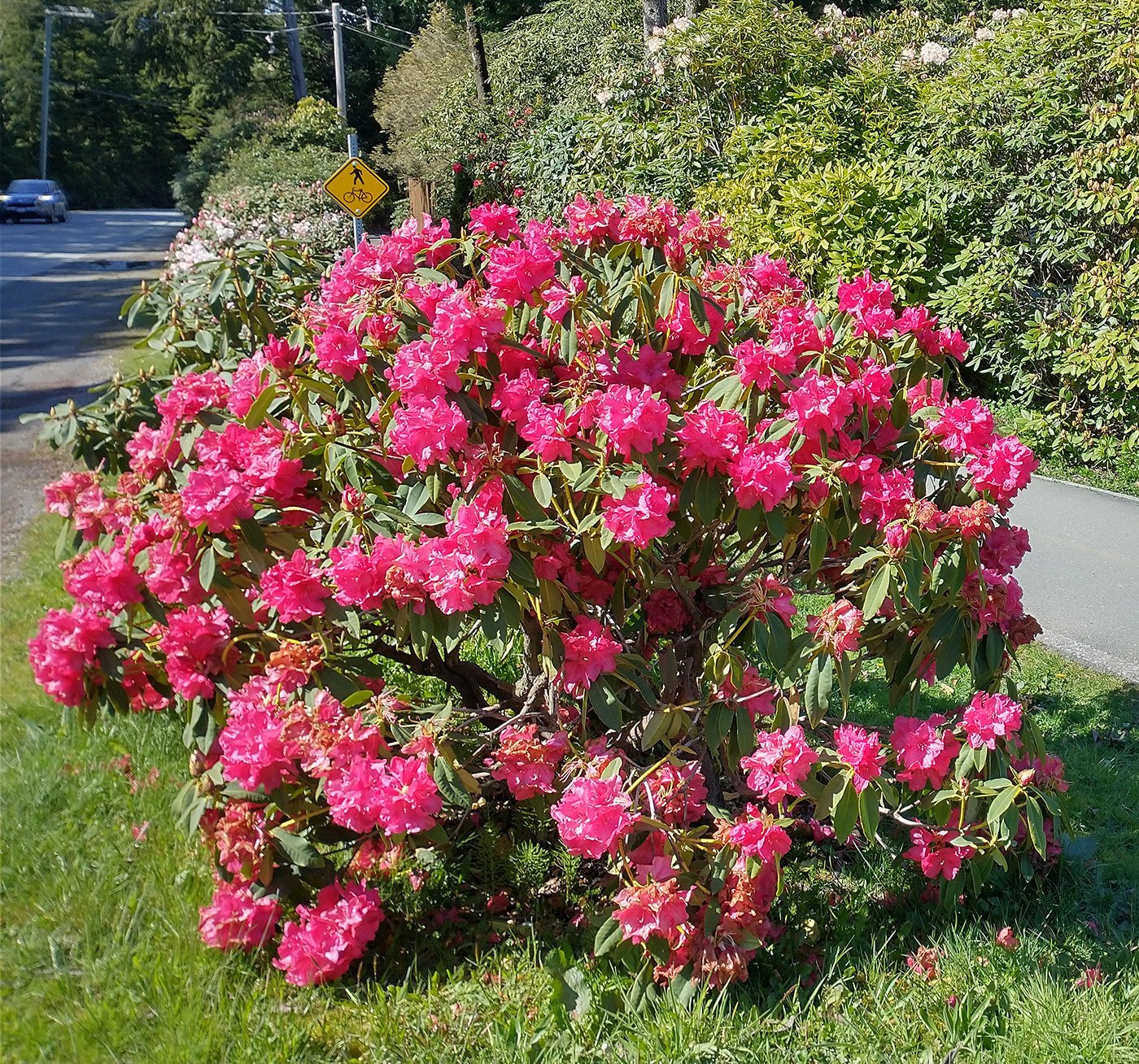
Pretty sweet.
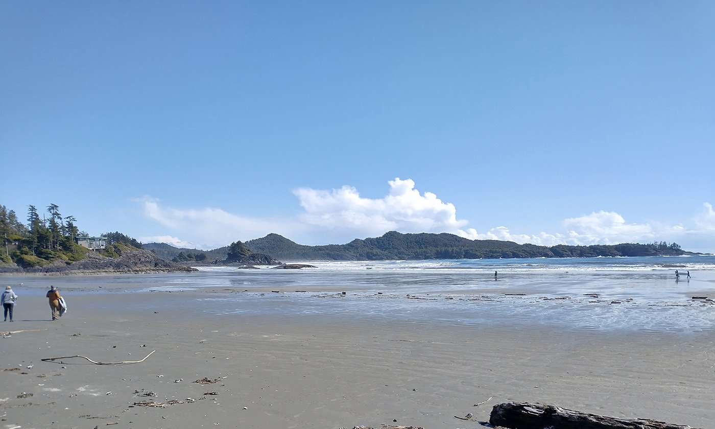
Tofino’s main draw is the few sandy beaches on Vancouver Island.
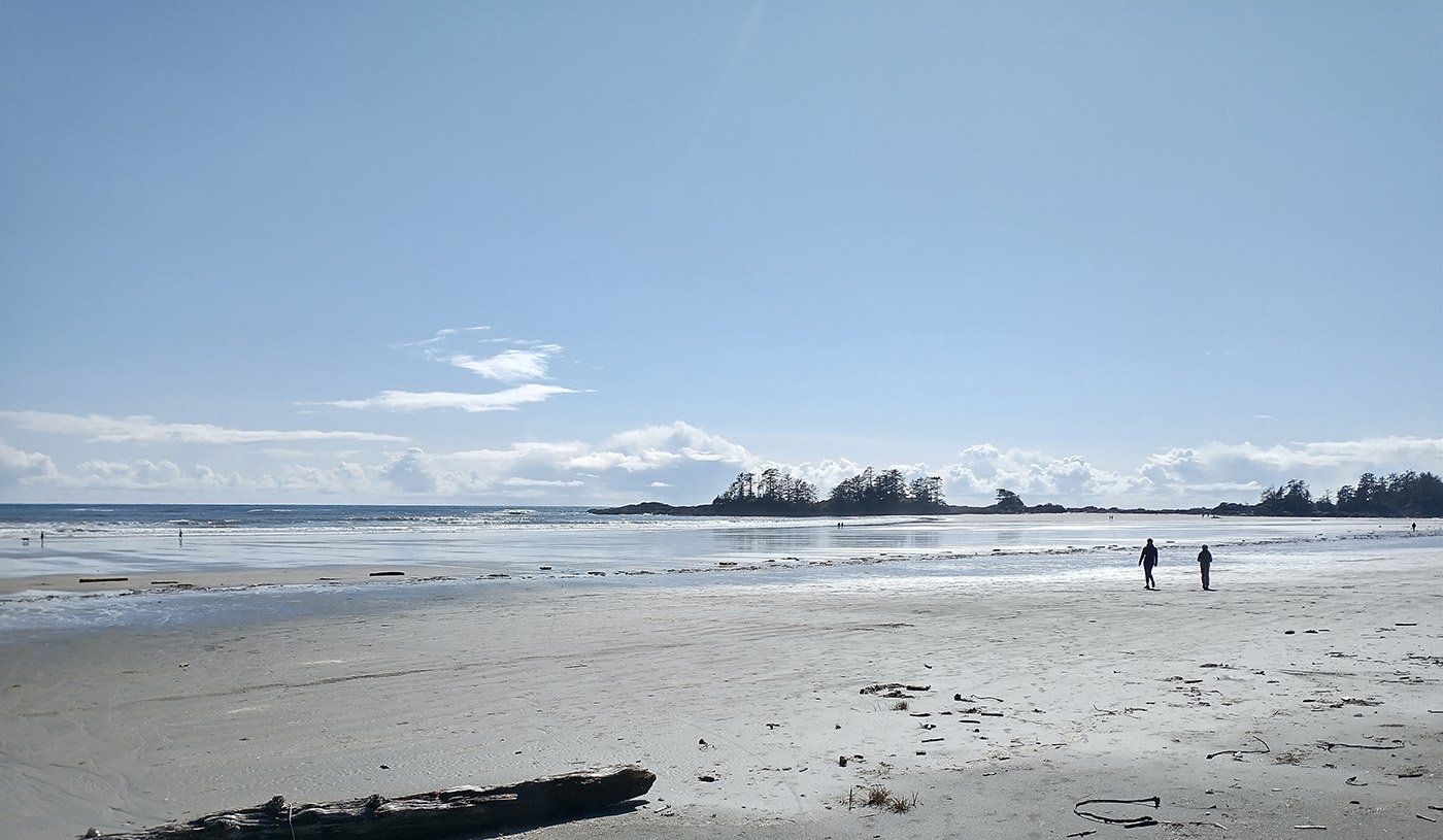
Absolutely beautiful and unique views.
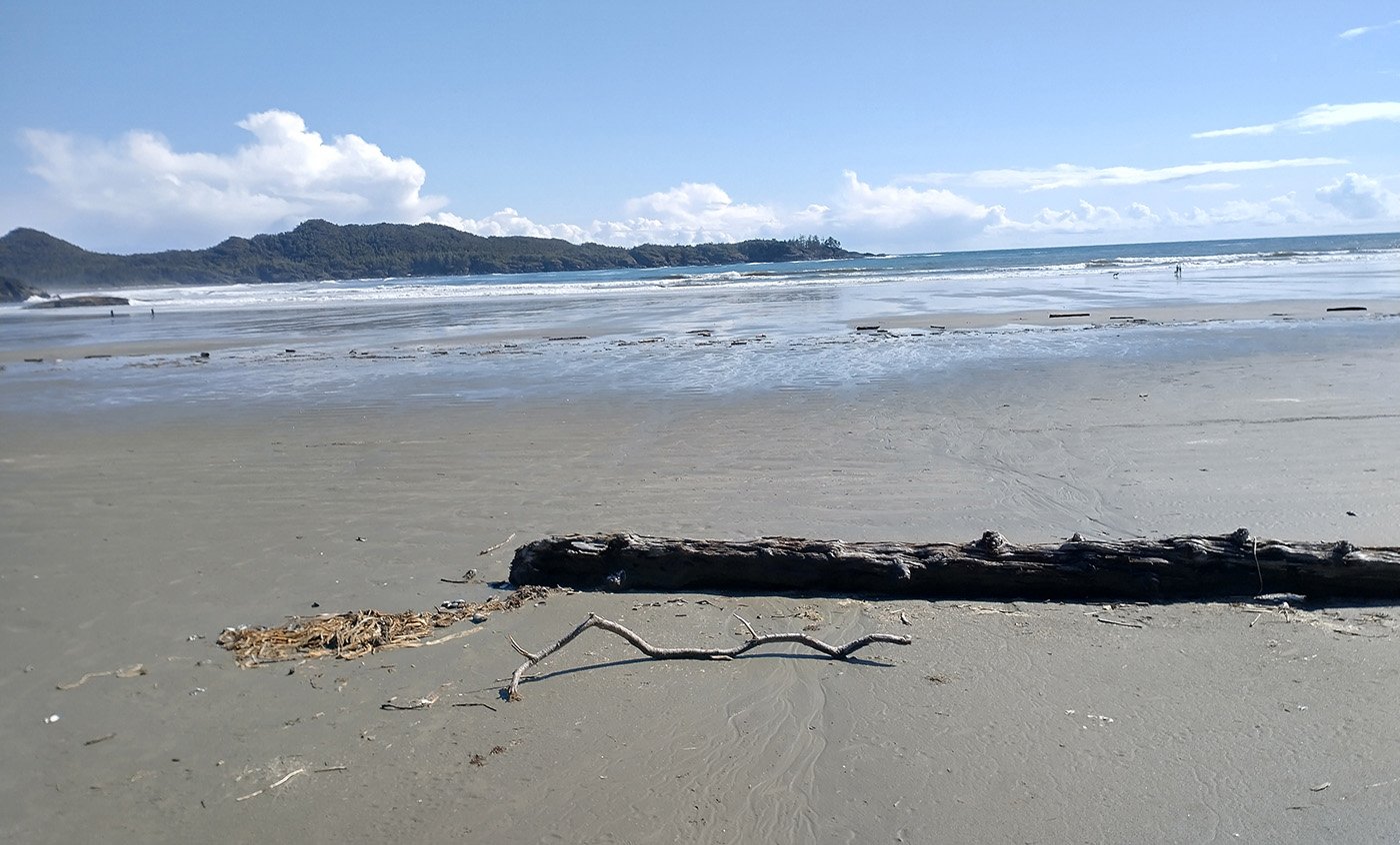
Most of the Island’s beaches are made of rocks and driftwood. However the water is still damn cold in Tofino.
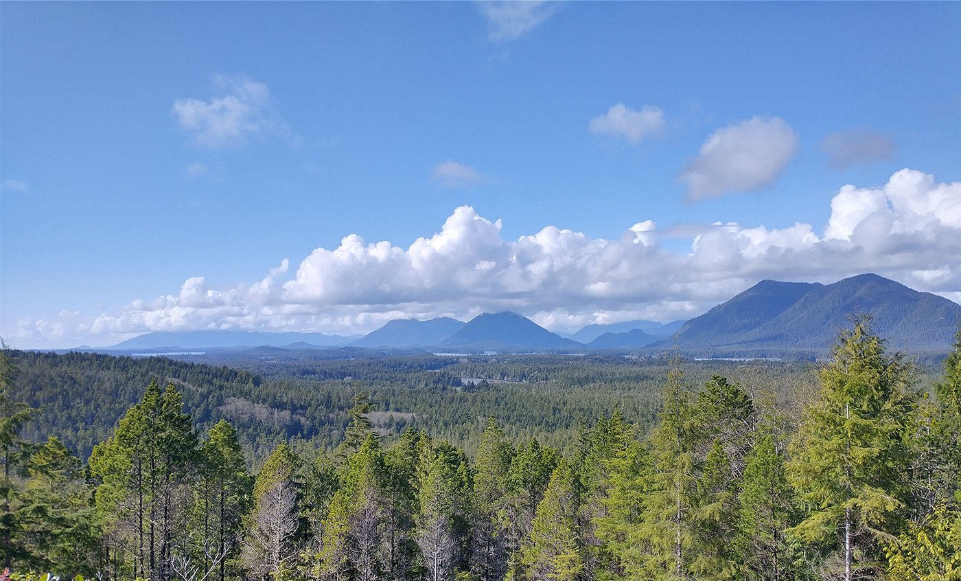
If you make the detour to Radar Hill you can have a little better view of this area, but it’s quite similar to what you’ll see on the drive between Port Alberni and Tofino.
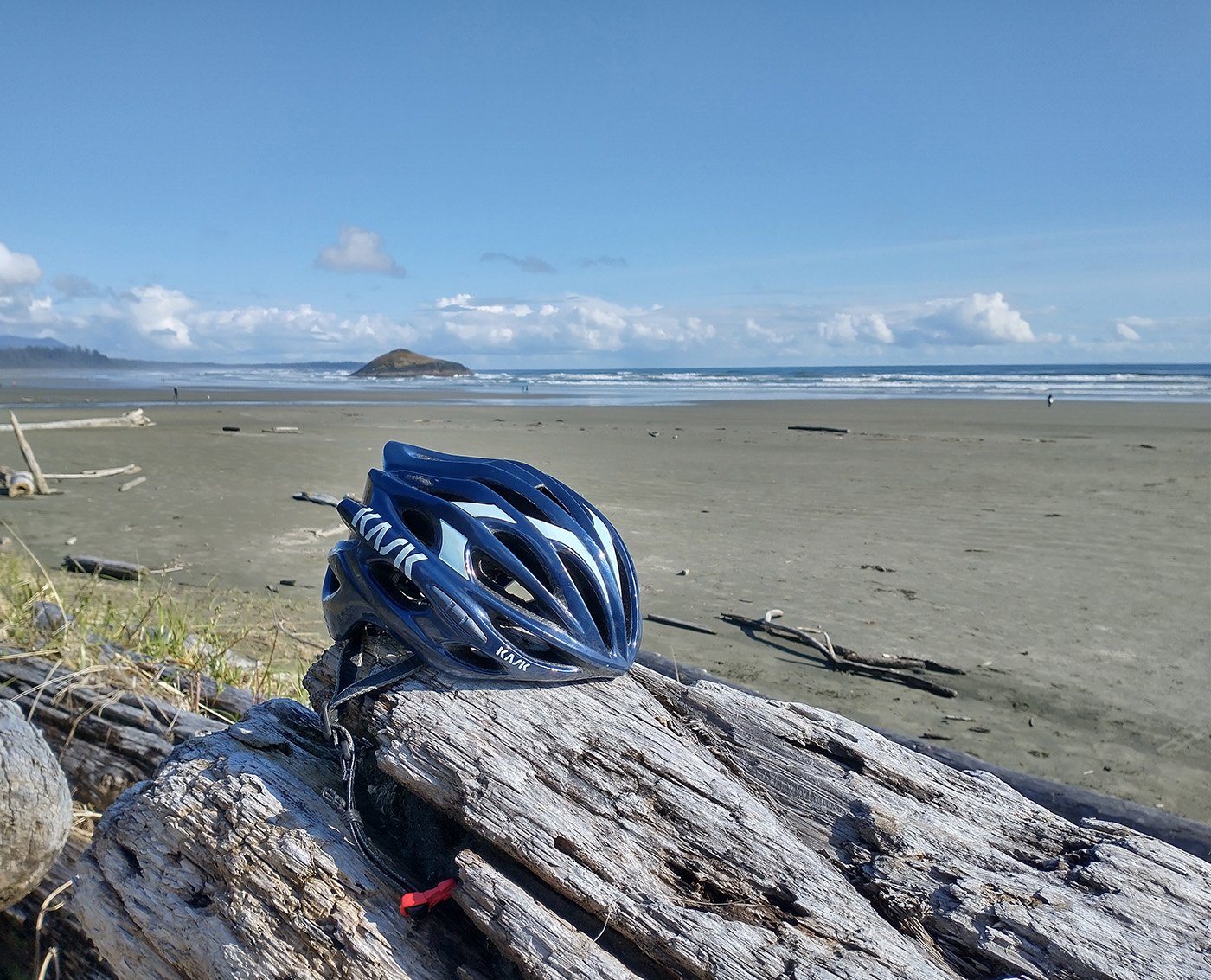
A pic of Long Beach. There’s tons of resorts and campgrounds with direct beach access. I paid $82 for my campground however so I can’t imagine the kinds of ludicrous prices beach resorts must have during the high season.
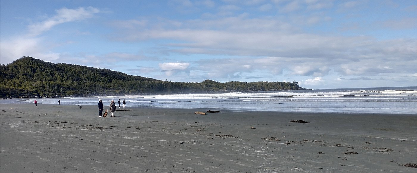
Tofino has many beaches with relatively large waves that people surf on. Cool to watch for a while and likely pretty unique for Canada.
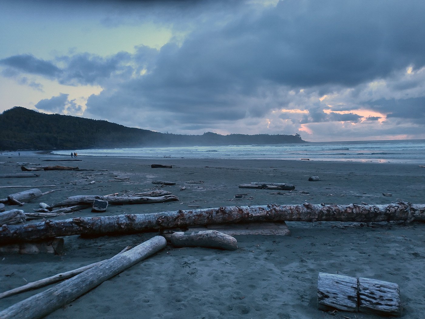
Pic of the beach near my campgrounds at dusk. Many people took their chair to the beach to watch the sunset. Being there in the off season, there were relatively few people around still so I had the view almost all to myself.

Mount Washington
This is the only legit paved climb on the entire Island, with very steep sections and over 1000m of climbing.
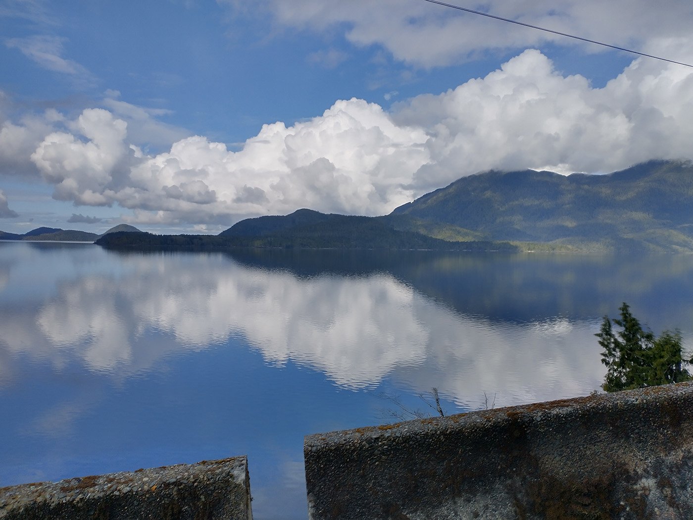
This is on the drive back from Tofino. Very cool!
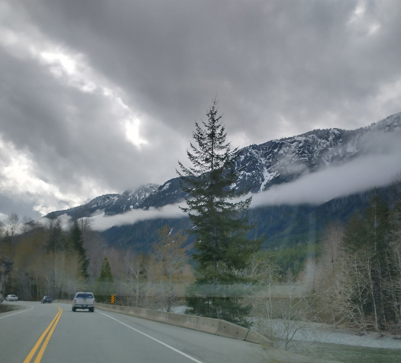
Ominous weather on the approach… There was no better day to attempt this given the forecast that week, sadly.
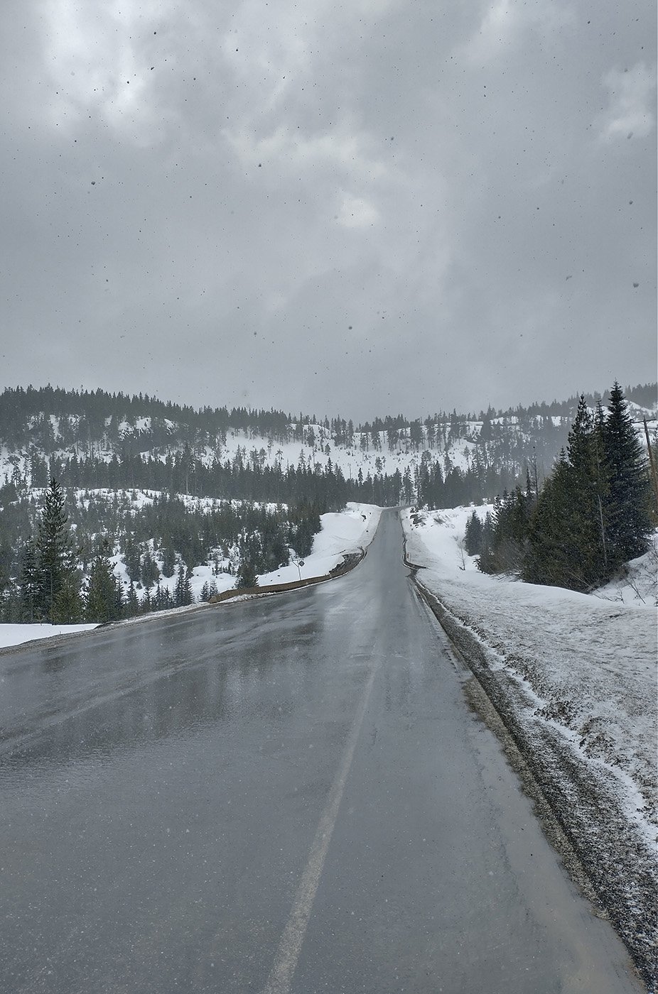
Had to go back near the top because the snow storm was getting pretty bad.
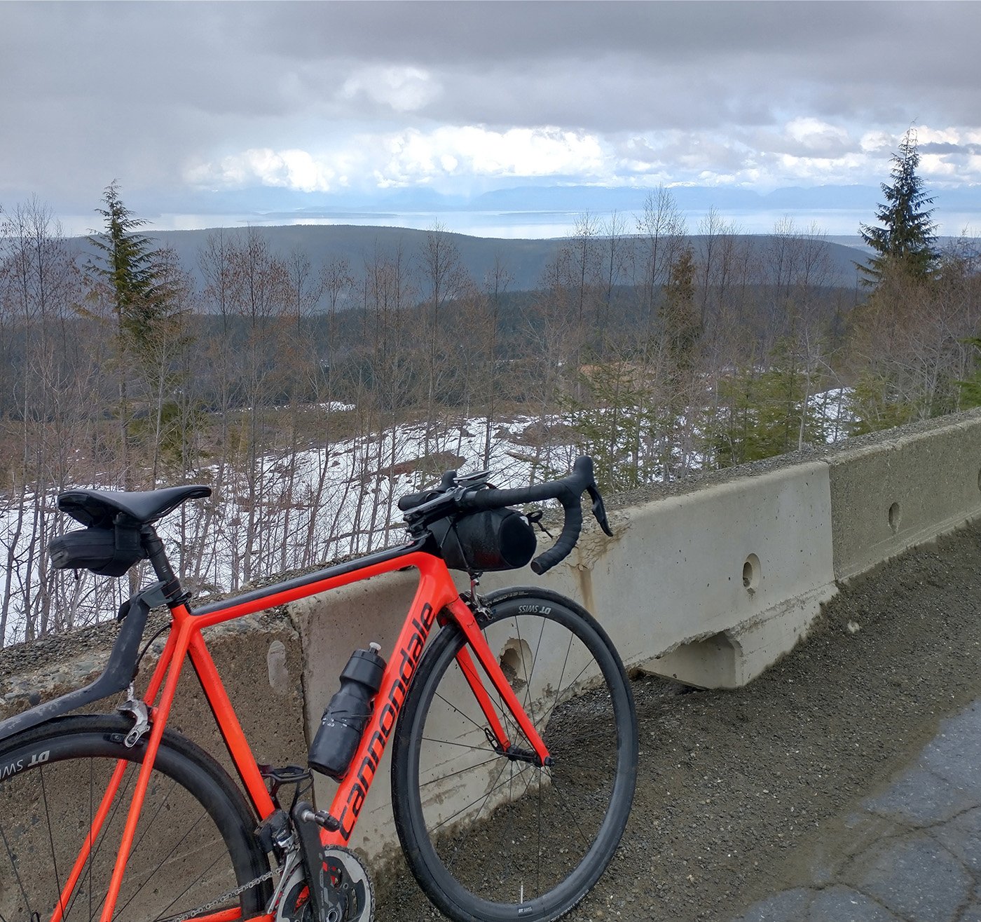
Very nice view going down.
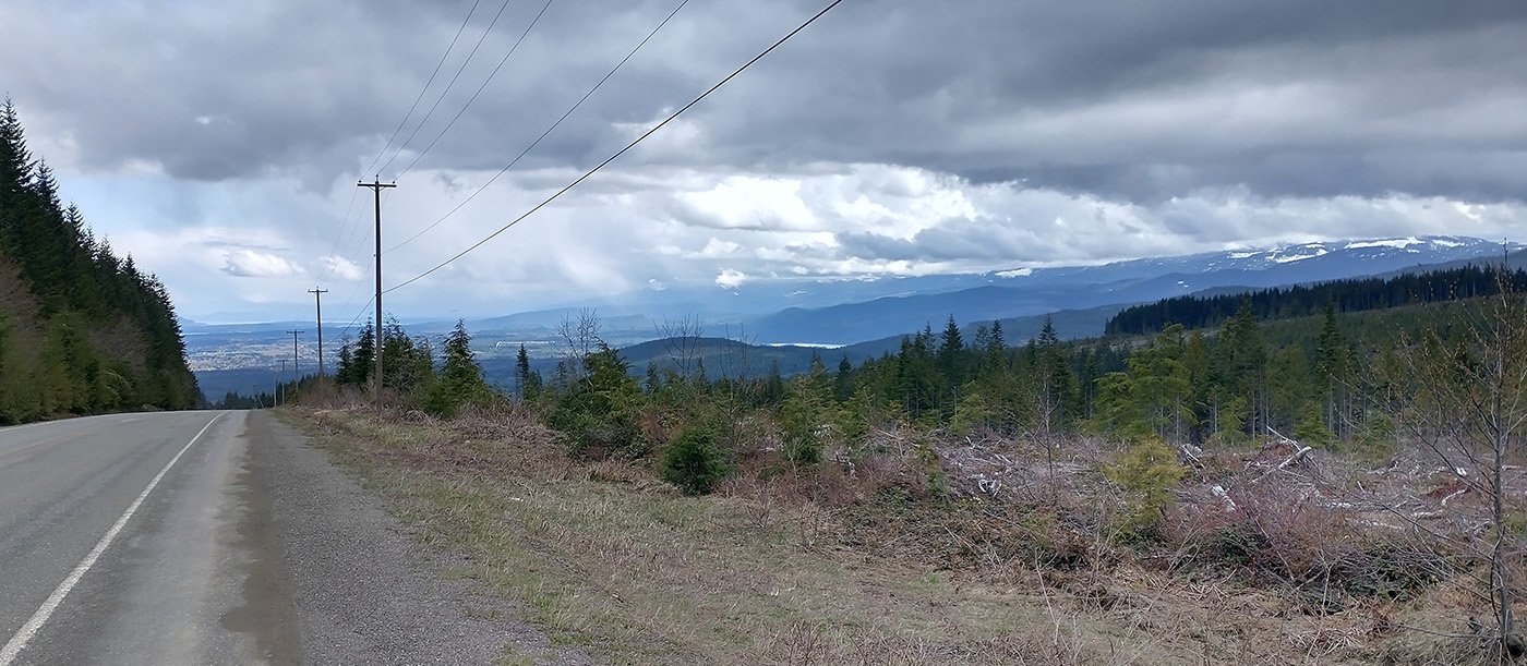
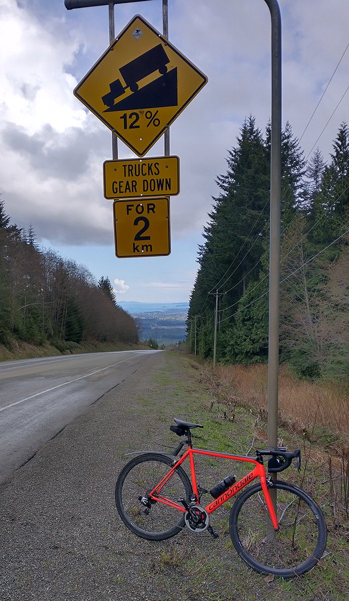
This road gets steep in some sections.
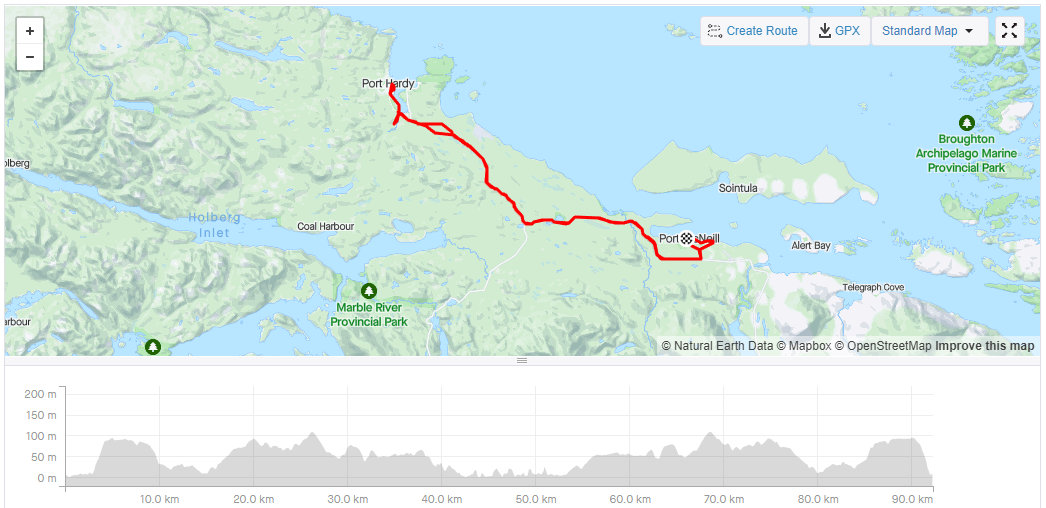
Drive up to Port McNeil.
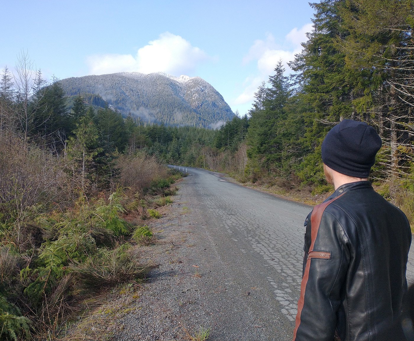
The drive from Campbell River to Port McNeil is the most epic on the Island.
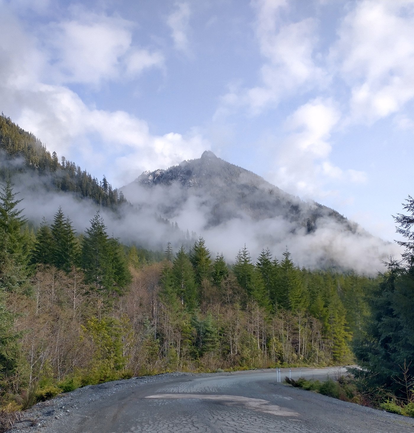
This for 2 hours.
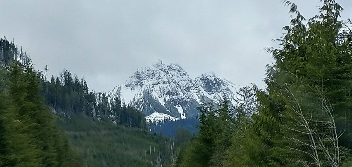
I believe this is Victoria Peak or Rugged Peak, standing at over 2100 meters above sea level.
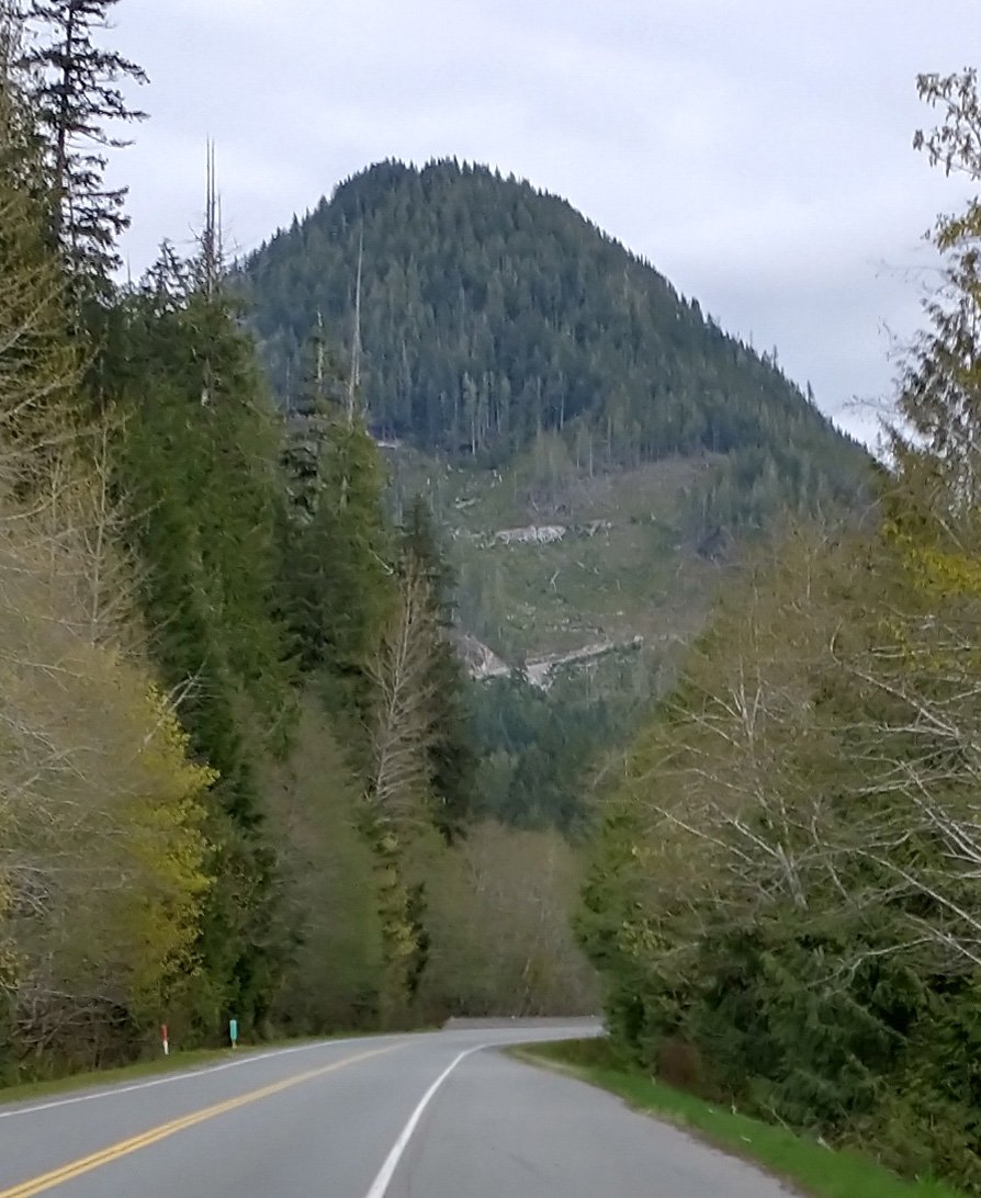
Many of the mountains on this highway have logging roads that snake up the side at what seems to be ludicrously steep angles. It’s easy to understand why no one lives there when you do this drive. Just cliffs on all sides.
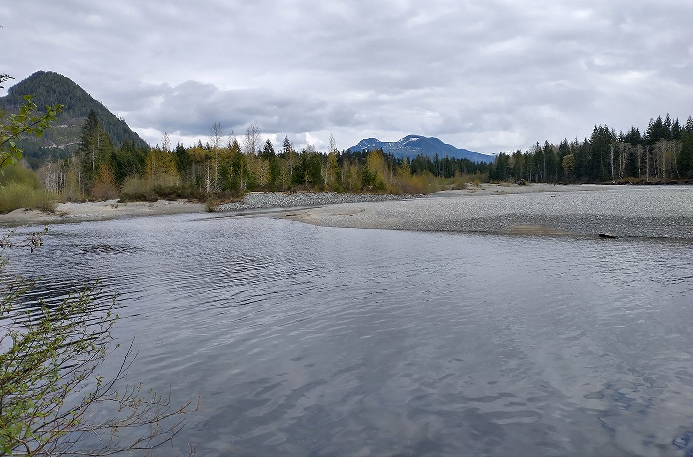
The highway has a few rest stops near rivers and lakes, as always. The climate is noticeably colder this far up Island.
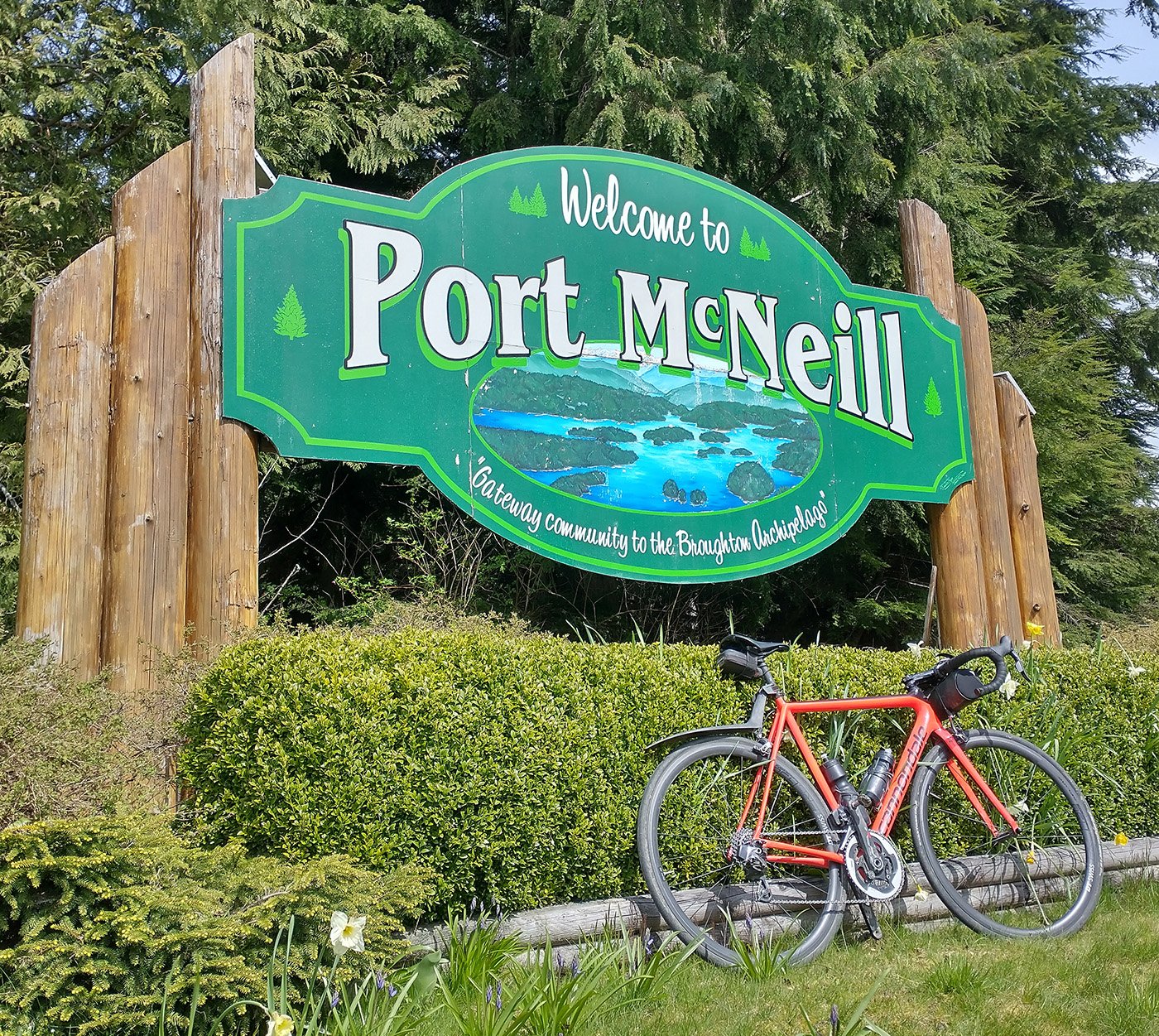
Eventually you make it to Port McNeil, after over 2 hours of driving through nothing but mountains.
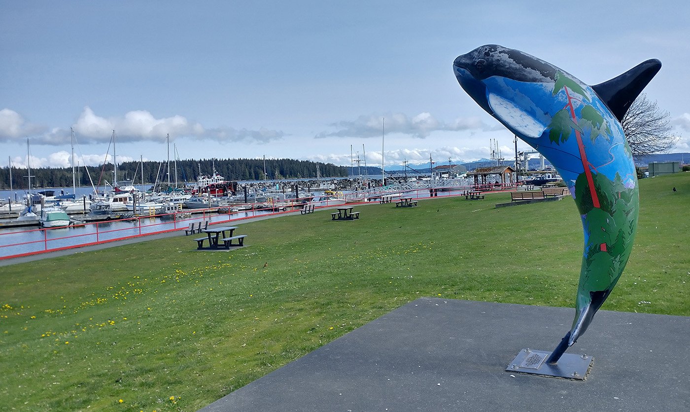
Definitely another little tourist town with great parks near a harbor. Totems, killer whale related statues etc.
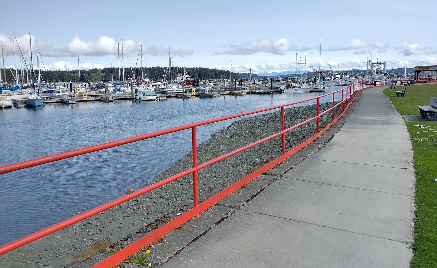
In the high season I imagine there’s lots going on here.
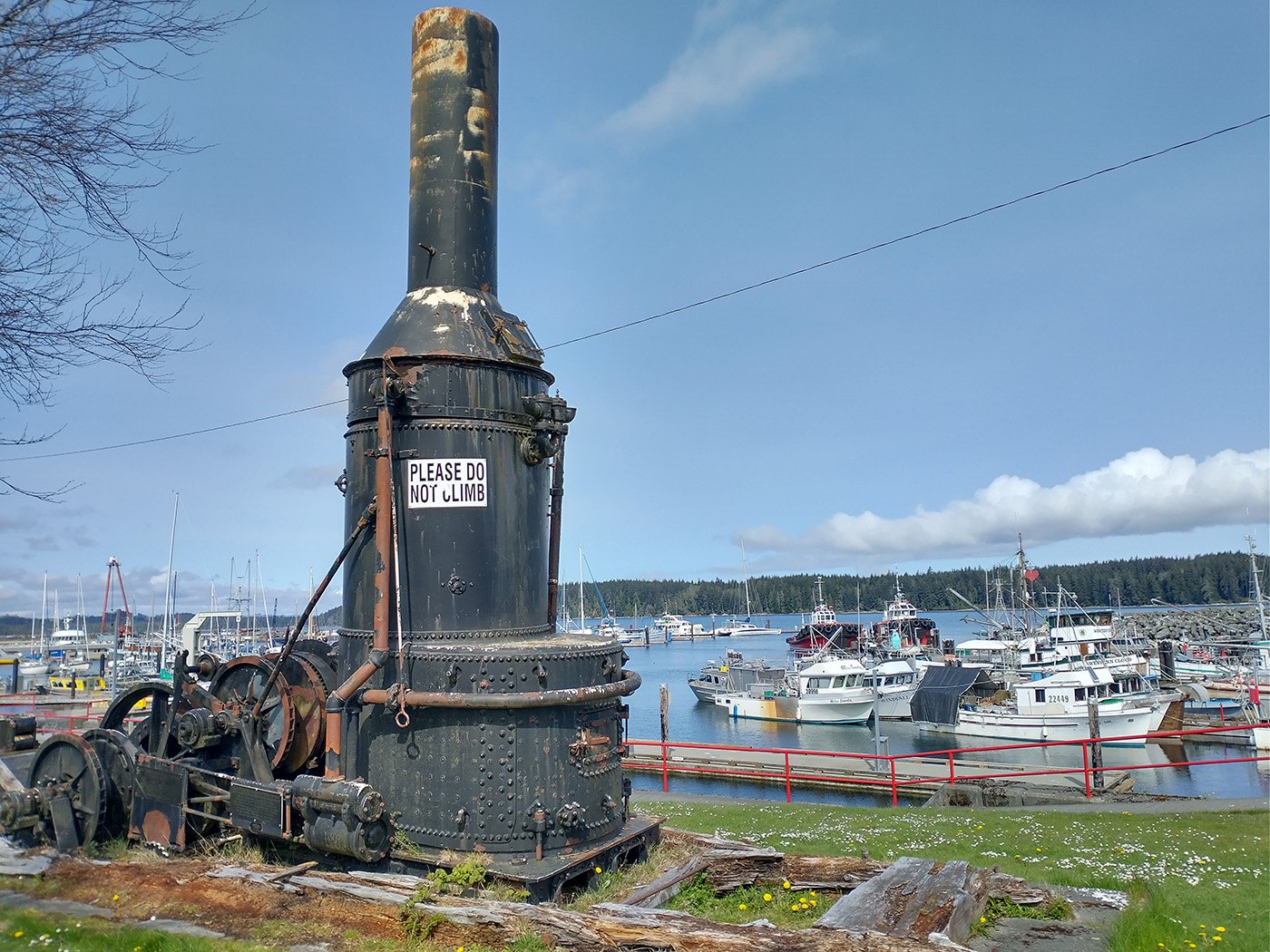
Another Island trend is to have 19th century relics lying around just about everywhere, talking about the old logging days.
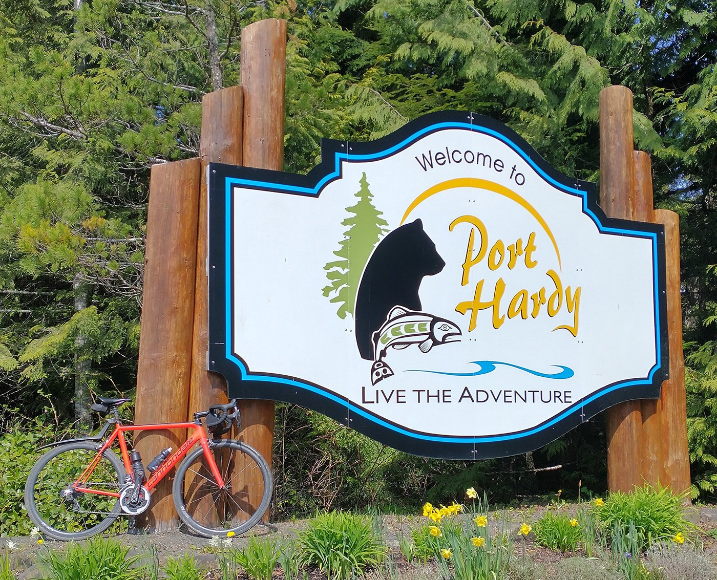
The bear is accurate. I saw many bears. Don’t know that I’d just go on a casual stroll in the woods this far up Island…
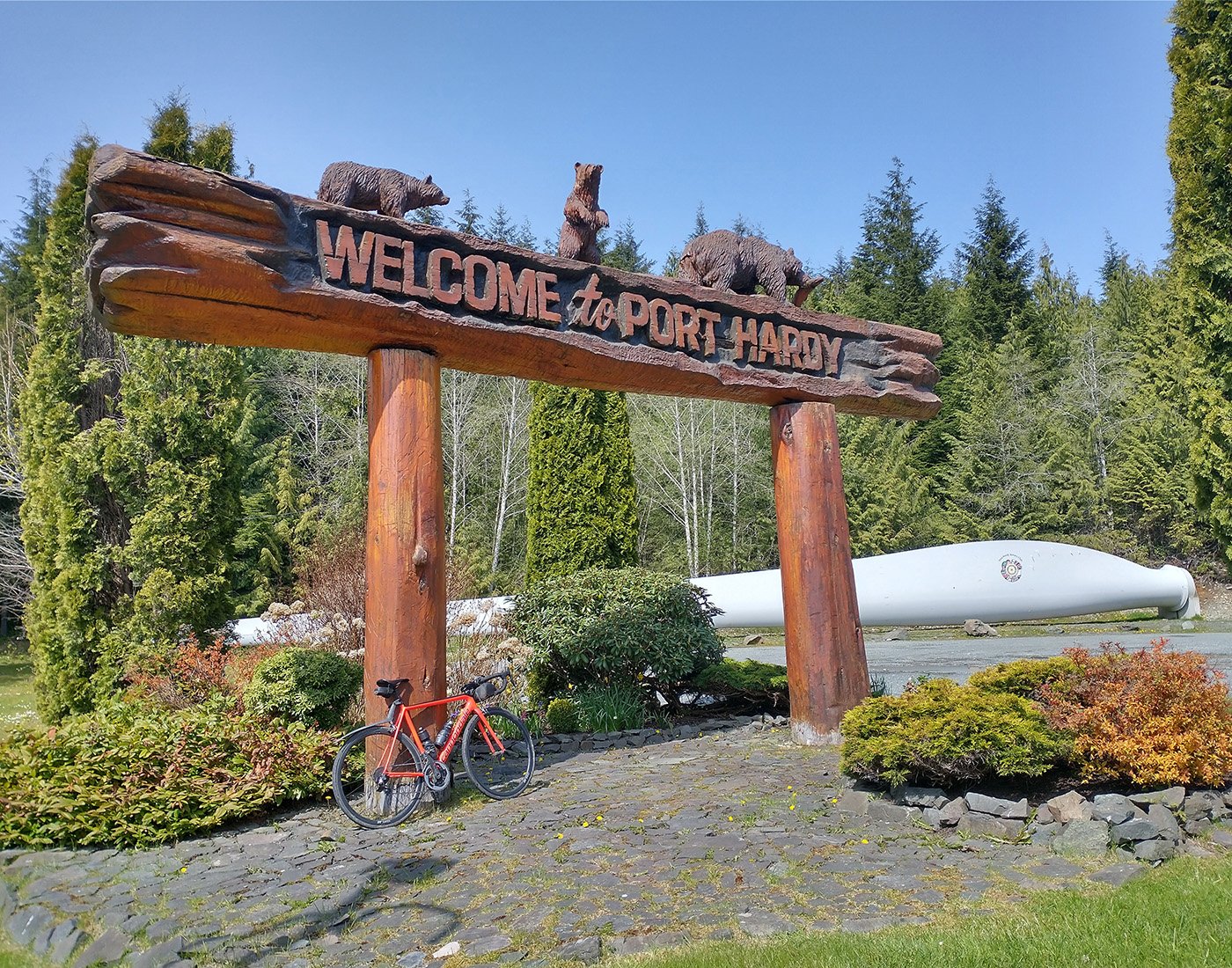
They really went big with the town signs here.
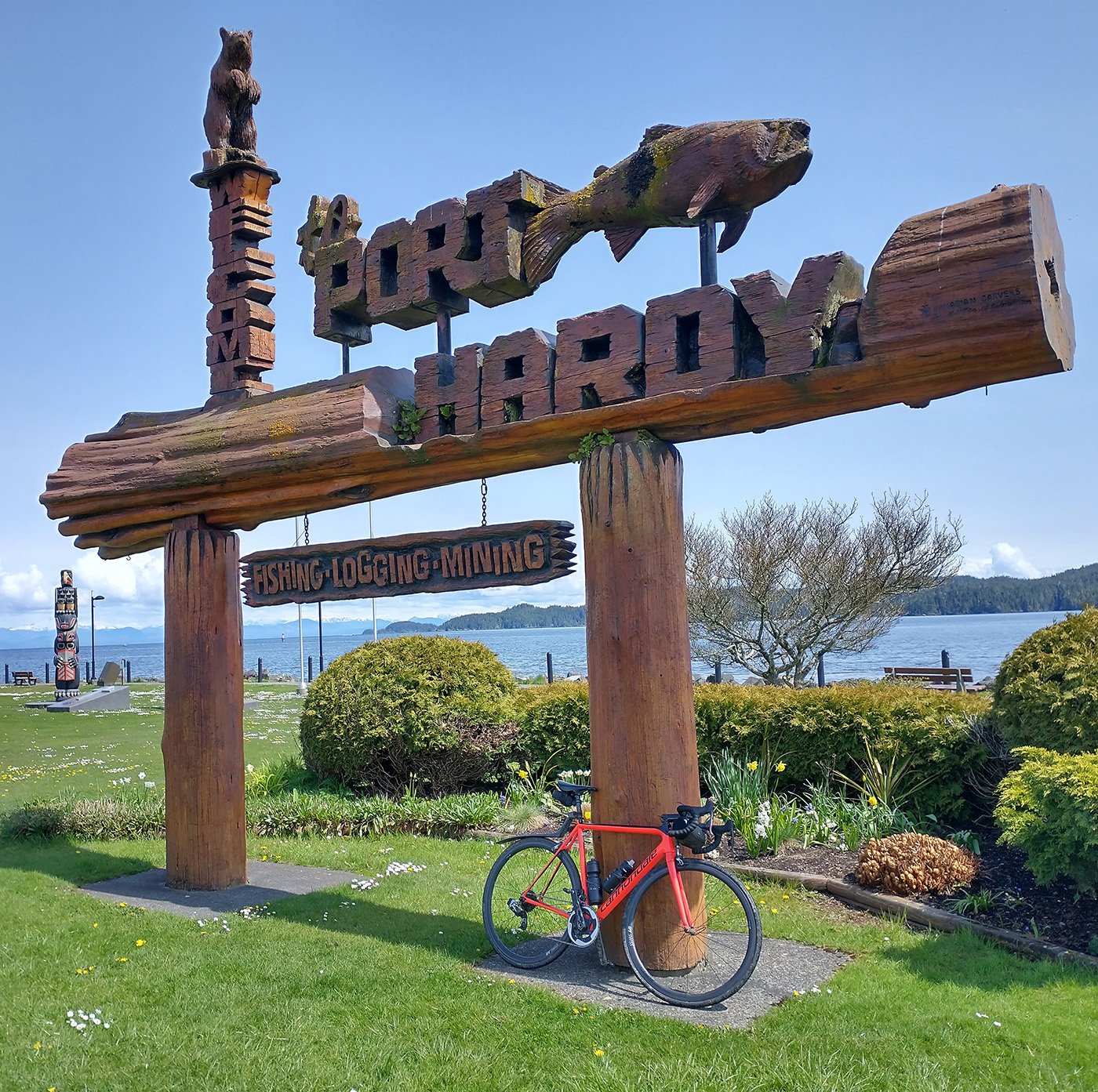
They’re all about that town sign. This one is located in town on the waterfront. This city seems to be a mix of well-off people living near the water and closed commercial real estate “downtown”. Would be pretty hard to live there full-time…
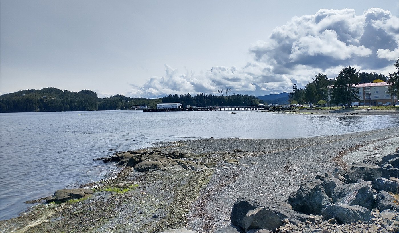
A view of the little harbor that has like one coffee shop. Don’t think they get that many tourists this far.
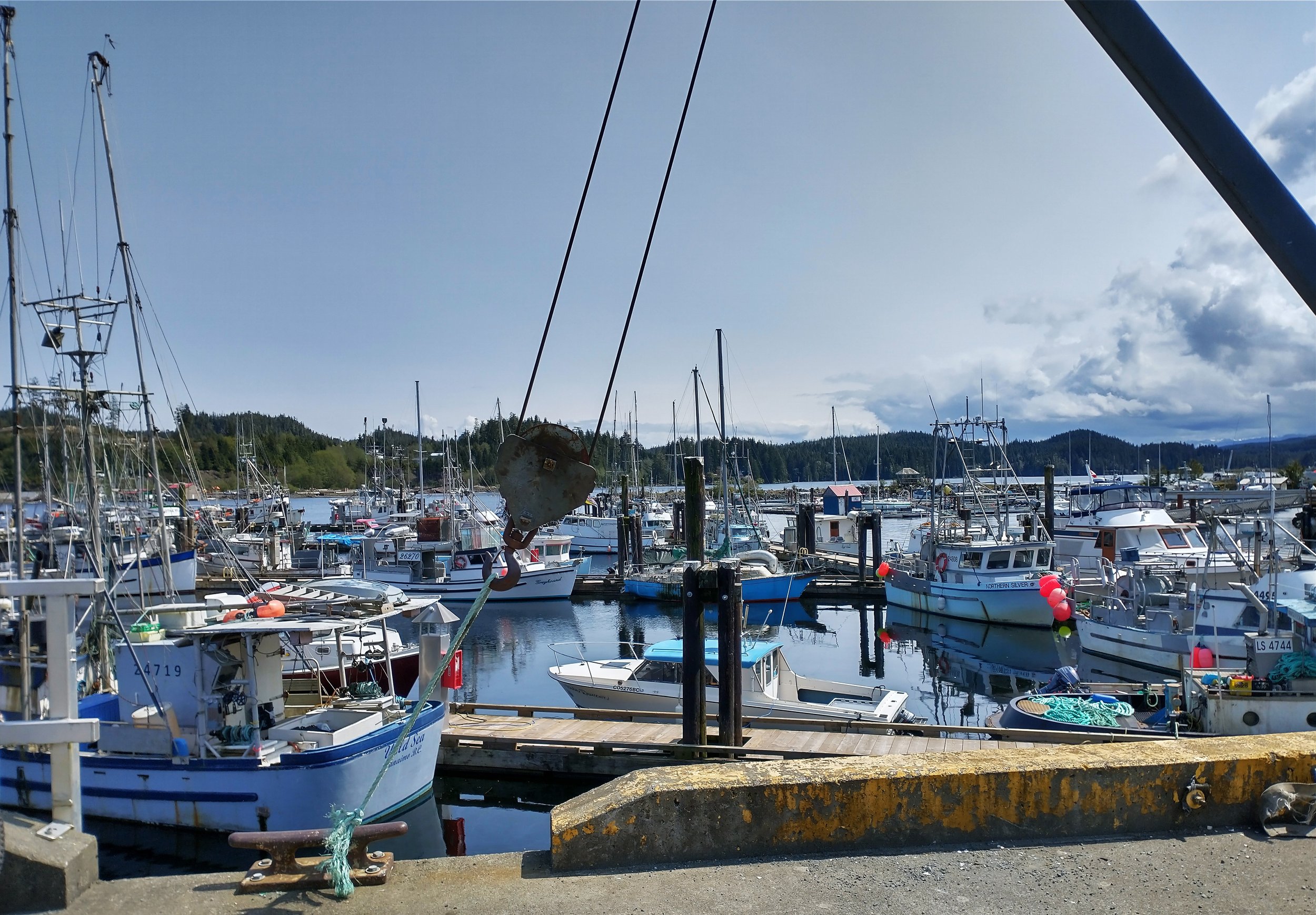
The harbor itself, seems to be much more for commercial fishing than you’d see on the rest of the Island.
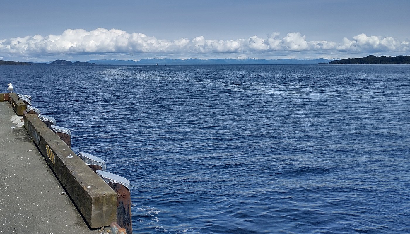
That’s it, pretty much the western tip of the Island unless you start to head in the bush or take a ferry/boat to go further out west. Only way to go further west in Canada is to go all the way up to where the Yukon crosses into Alaska.
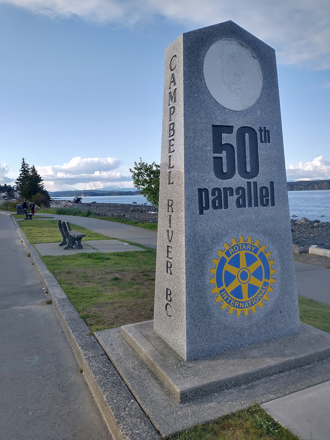
Made my way back down through Campbell River, definitely one of the nicest places on the Island that may or may not be affordable still.
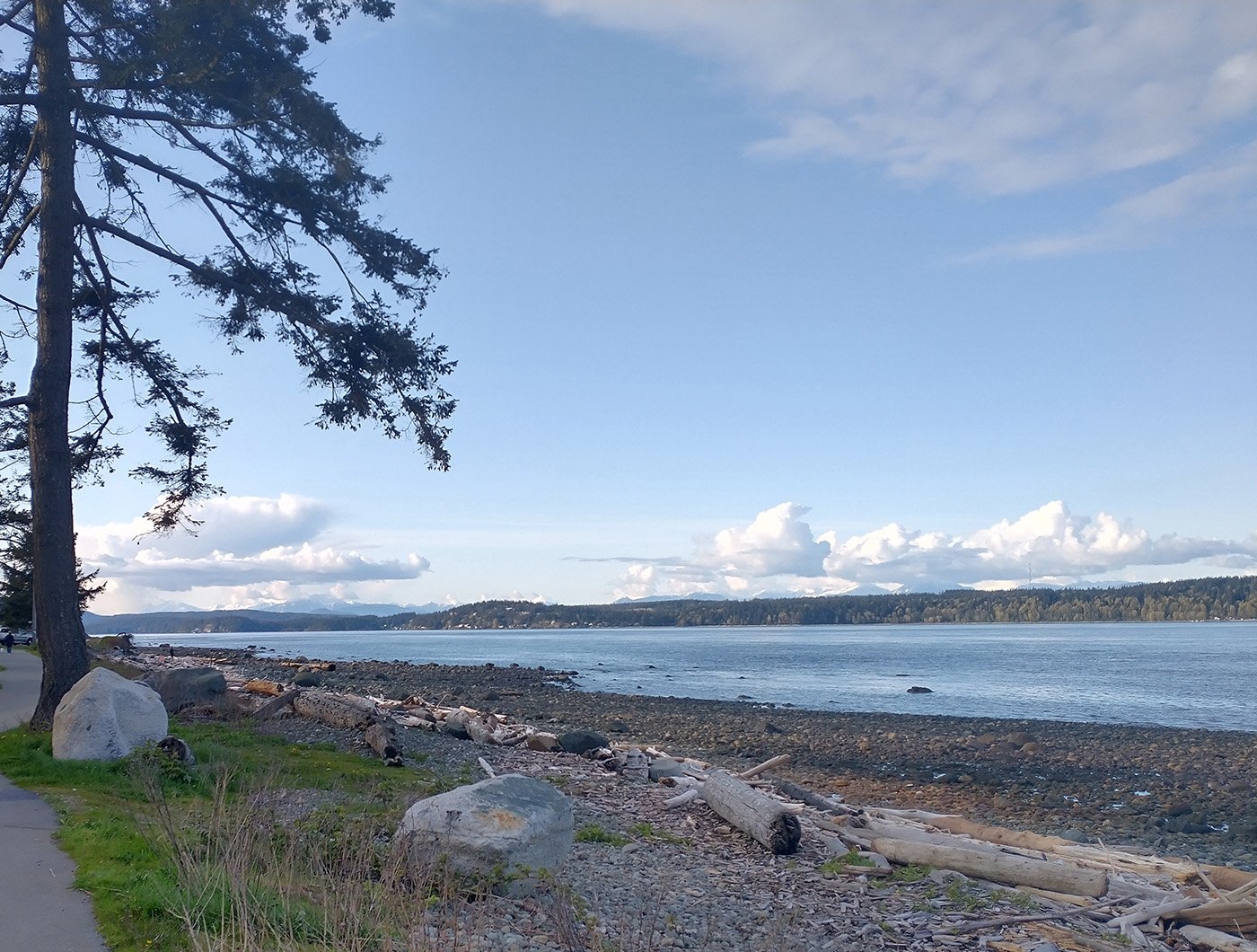
There’s a long stretch of road that runs along the ocean.
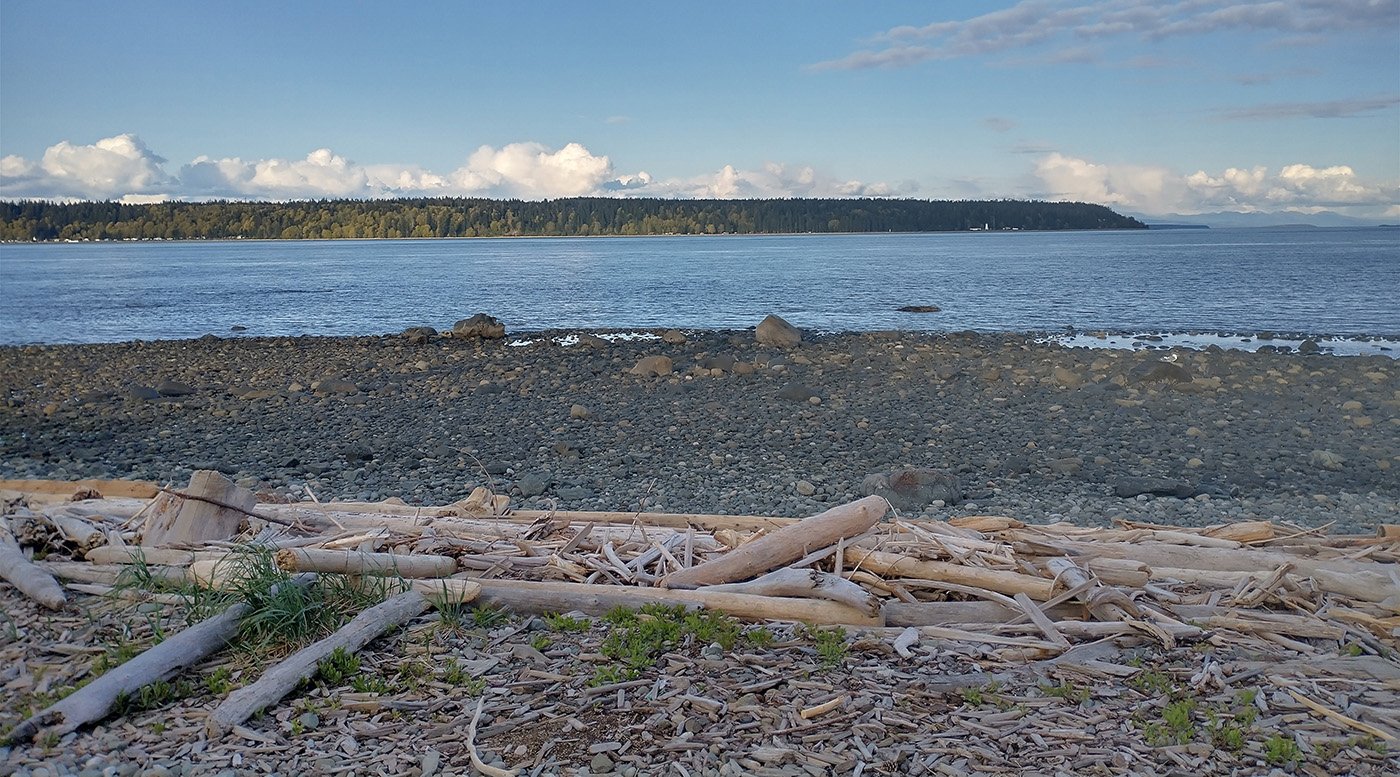
This is why people go to Tofino. Another kind of gross rocky beach. Great views, terrible beaches.
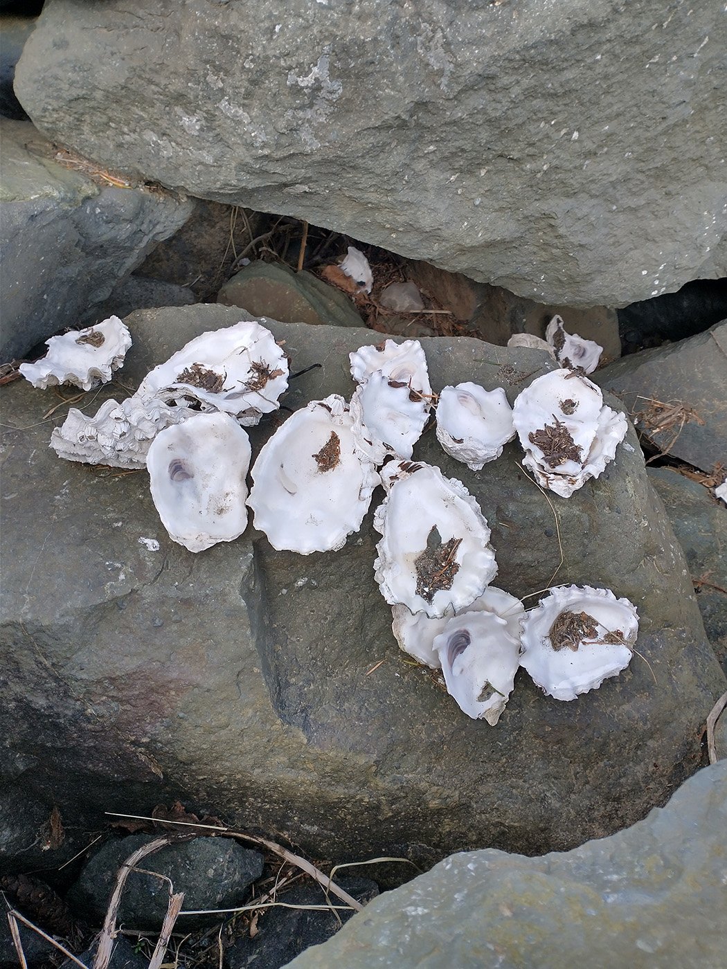
I dunno.
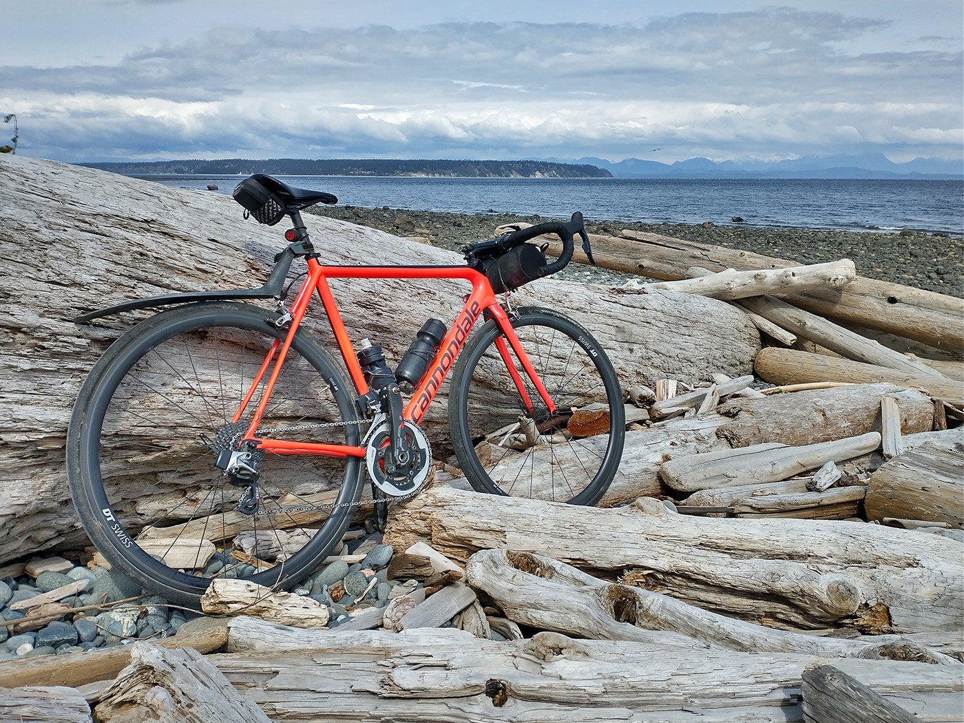
Far away view of Campbell River.
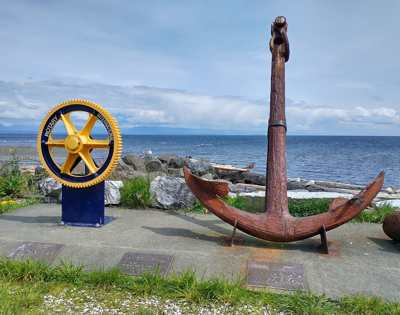
More artifacts and monuments. Many for people who were lost at sea.
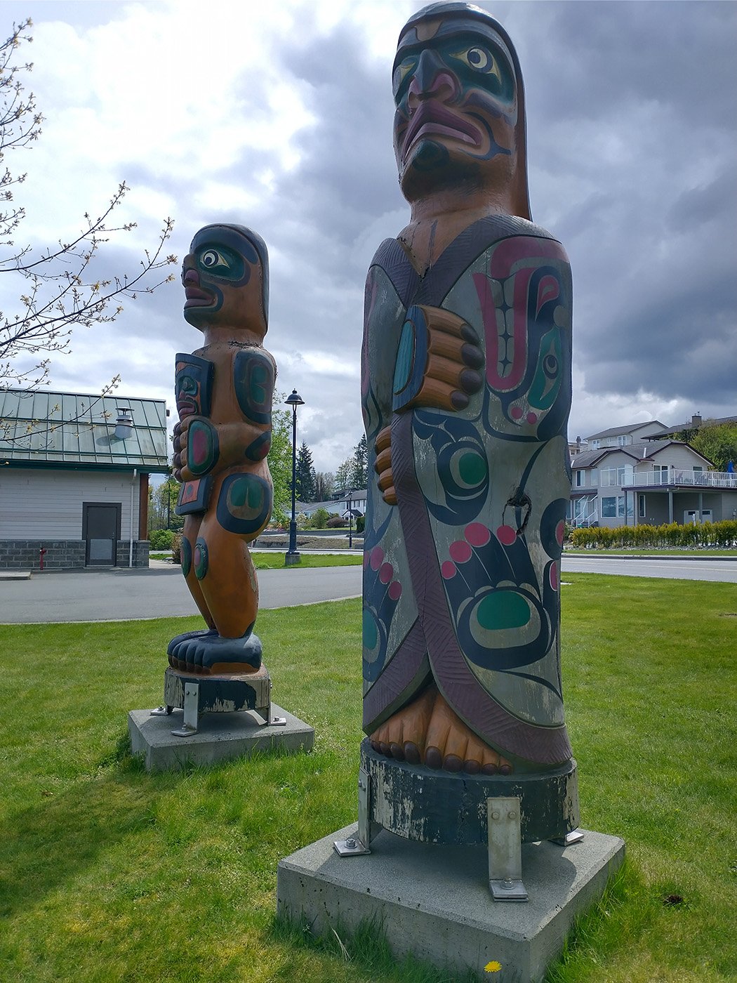
More totem-like things.
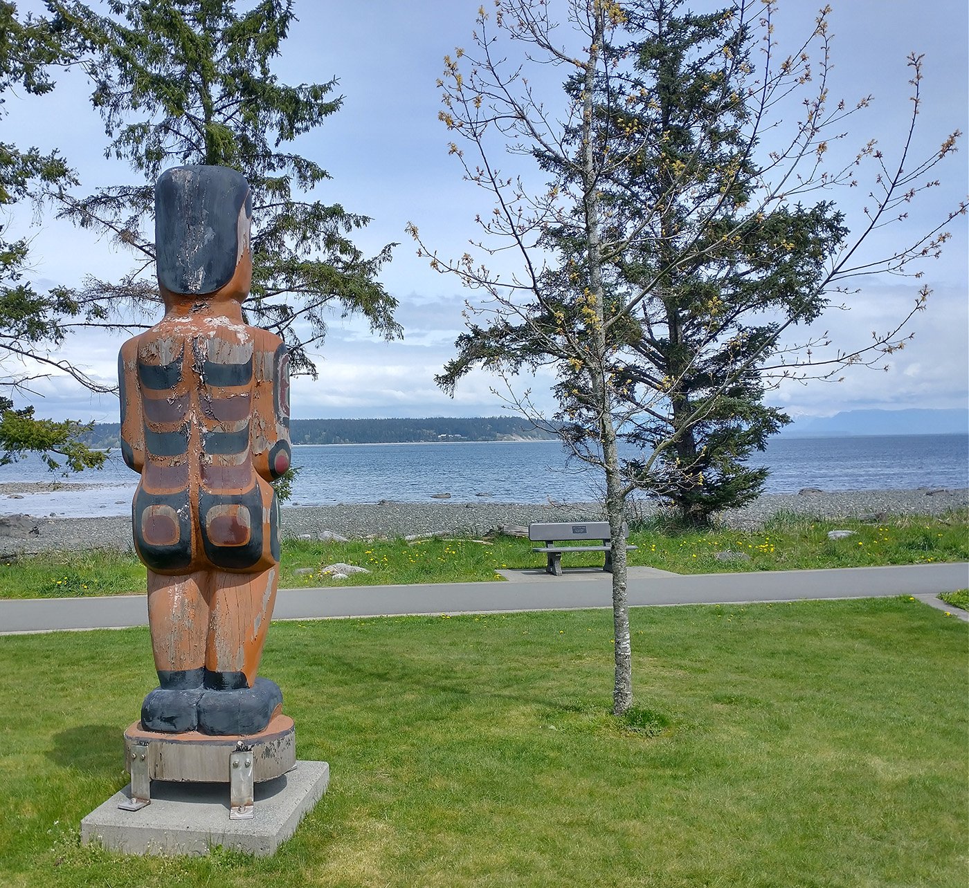
Or wait is this one a bike rack?
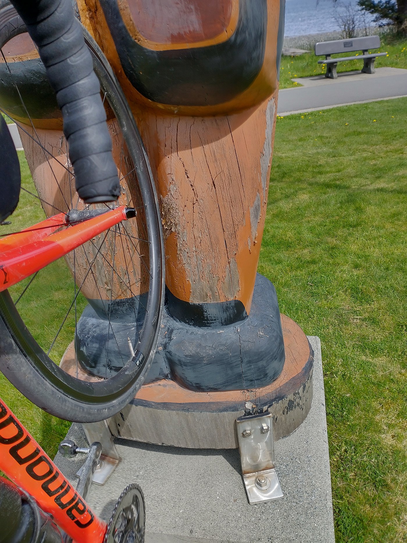
Hmm doesn’t fit. Yet.
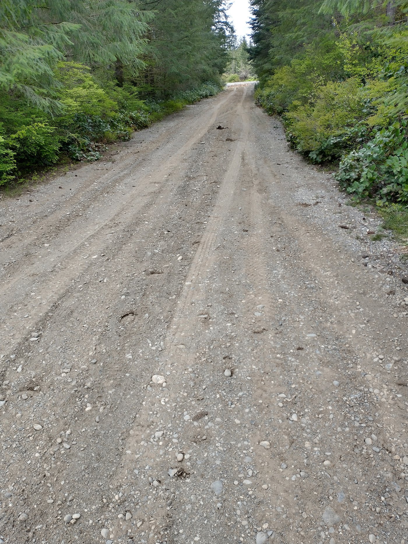
Sometimes you plan loops on Strava and they call things like this “paved”. Then you need to decide if you want to ride 5km on literal dirt trails or just go back.
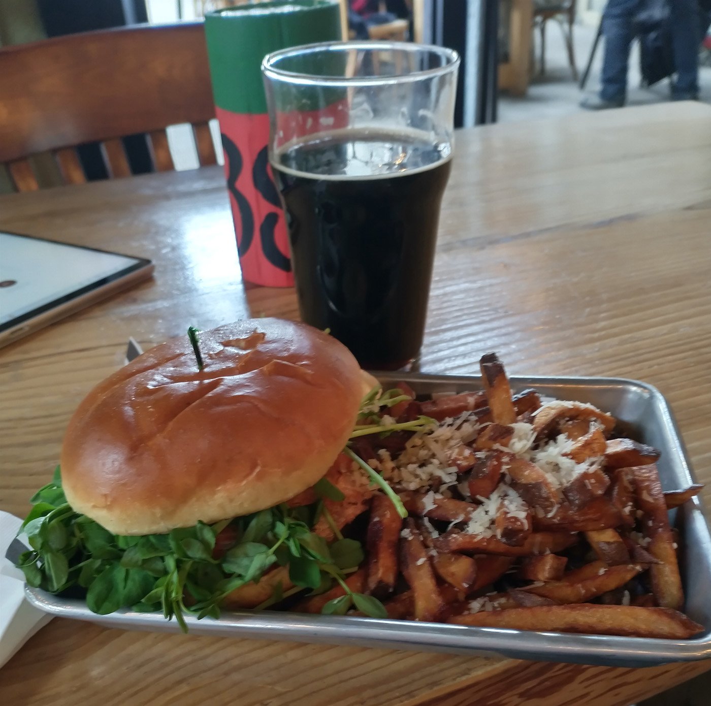
End of that long and windy day, I got myself a salmon burger and beer. People say “take yourself out alone sometimes” but it made me feel like everyone was just waiting for me to GTFO.
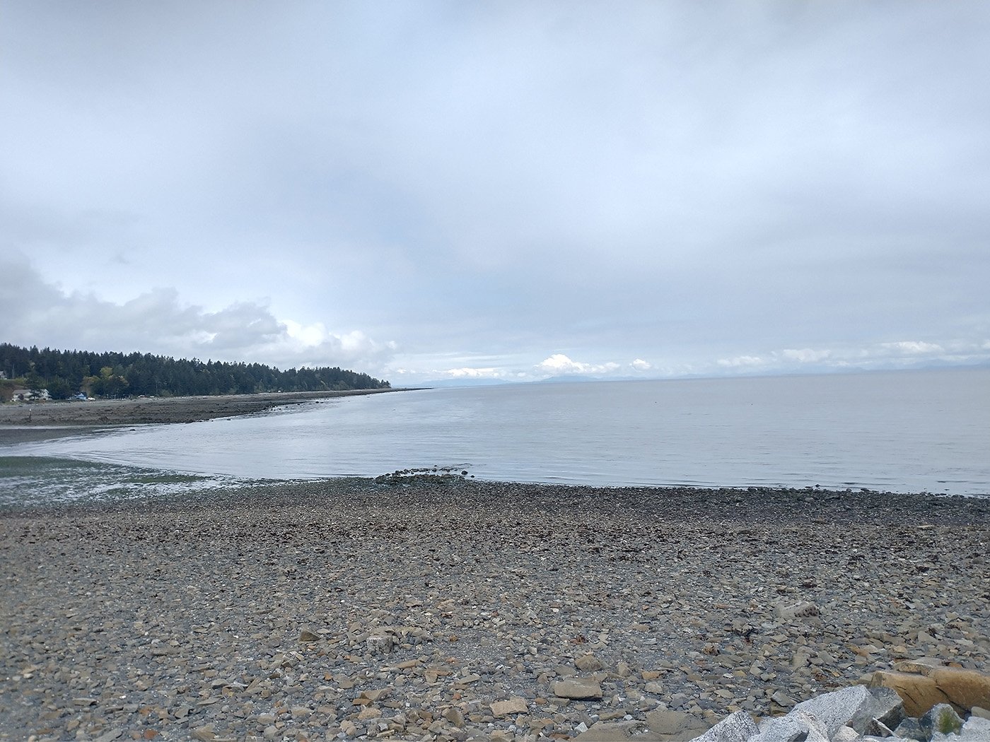
Next day I just did a chill wet ride around the same area, with a friend I used to bike with in Montreal.
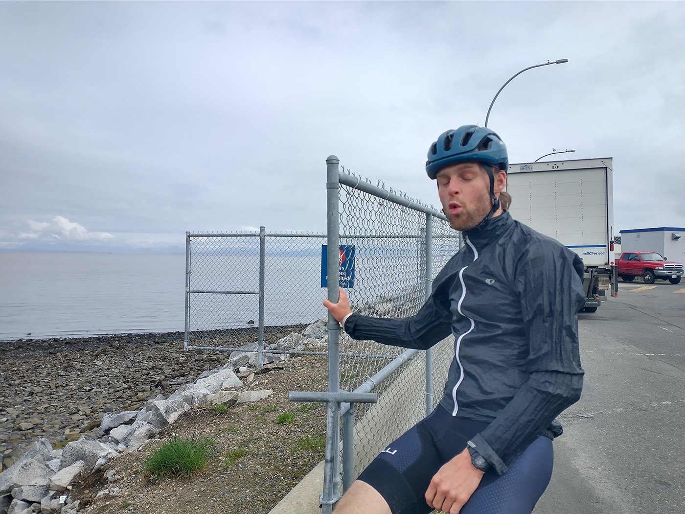
He lives in Powell River so it was hard to time this to work! Happy to ride with people on this adventure.
That concludes the first part of… very many… of biking in Canada. Sorry for the random-ass picture sizes and quality, squarespace attempts to badly format stuff automatically. As much as working directly with the code on my old website was a pain in the ass sometimes, at least it was flexible. THE PRICE I PAY FOR BEING LAZY.
If you made it this far, feel free to join my Instagram, where I’ll spam you with pictures.
