Hawaii - Big Island Rides 2
These are the last rides I did on the Big Island near Hilo and Volcanoes National Park!
This is just an out-and-back ride to the southern tip of Hawaii. It got insanely windy, it was a total slog to get back home with headwind for 80km. If you’re very ambitious you can loop all the way through Kona, it’s probably 200km at that point.
"The Slopes of Mona Loa" is the dominant feature as you make your way towards the coast.
There's a lot of farm/plantation tours on the islands. I went to none of them.
There's amazing views along the cliffs once you make it to the Southern point.
Heading back up. You can see the wind turbines in this area. They must be getting their money's worth.
There's some good views along the coast going back, you get a sense of how massive these volcanoes are as you see the land bending upwards in the distance.
There's a park you can stop by that has old footprints preserved in the volcanic dirt.
Volcanoes National Park is essentially built around the still active Kilauea volcano. A crater opened up on the east slope in 2018 and drained the main crater. It’s been slowly filling back up. Check out this awesome time lapse: https://www.youtube.com/watch?v=cBTSwIaucm4&ab_channel=HVERI
My main plan that day, the Mona Kea Lookout road was closed. Thanks for saving me legs. Explored as much of the park as I could on the bike.
These are tree molds that form when lava hits a big tree. The water in the tree makes the lava solidify around it.
The still intense heat eventually vaporizes the tree within the mold and you're left with a well-like imprint.
Fun fact: Medical travel insurance does not cover closed roads!
Southern slope of Mona Loa. You can see how wide and flat it looks despite going up over 3000m above sea level.
Main draw of Volcanoes National Park: The Kilauea crater. It's a still ( very ) active volcano.
There's still some slight activity but no more lava flows/eruptions like previous years.
In 2018 it collapsed down when it erupted and you can see an old road that just fell into the crater.
You can actually see these roads on Googlemaps as they end at the edge of the collapsed crater! Guess it expanded a lot.
Closer look. The tour guide said the volcano used to almost come up to the current edge of the crater and collapsed down several hundred feet.
The crater is about a mile across. It's something you have to see in person.
The floor is just a slowly rising lava cap that builds up pressure until the next eruption cycle...
Nearby you can check out the steam vents spewing out sulfuric steam.
People throw tons of coins and other garbage in there. Do you get a wish for chucking coins in a volcano hole?
The road does about a half circle around the crater with a bunch of lookouts for you to stop and marvel at.
Nearby Kilauea Iki Crater. It's much smaller and there's a hike going through it. See it in next post!
Nene, the state bird of Hawaii."The nene population stands at 3,862 birds, making it the world's rarest goose"
This was the most mentally taxing ride of this whole trip after Mona Kea as the headwind just blasted the hell out of me while making my way back up the climbs. This should have been a loop around but the road on the south is closed due to…. lava… I THINK THESE VOLCANOES MIGHT BE A PROBLEM GUYS.
First stop, the Ilina Pali lookout. You reach it from a long bumpy one lane side road.
It offers great views of the desolate coast. There's hiking trails that start here as well.
I climbed back up with a brutal headwind and then back onto the chains of craters road that descends all the way to the ocean.
The views on here as you exit the woods are amazing. Endless fields of fresh black lava going all the way to the ocean.
"end of the road" here at the Sea Arch. Maybe you can bike through but again not wanting to find out halfway that I have to turn back.
Holei Sea Arch slowly getting grinded back into the ocean. These arches are ever-shifting and vanish over time.
The lava formations shift constantly here. It's otherworldly. Just a few years ago you could hike from this point and observe lava spewing out into the ocean.
There's so many square miles of this chocolate looking stuff frozen in time.
Half mushed centipede. Didn't know you could find those here!
Making my way 1200m back up to the Airbnb now with brutal crosswinds. Just another miserable day, other than for the views. THAT'S HOW WE ROLL.
This road is named the "Chain of Craters" road because it's built along multiple smaller craters on the lower slopes of Kilauea.
Holy balls was I tired. There's just one or two of these craters worth checking out. You can also see steam escaping from random spots in the grass.
Again this could have been a loop coming back to Hilo from the central saddle road but that adds 30km and 1000m of elevation to an already pretty long day. I had already seen those roads for the most part so decided to spend my energies visiting the valley lookout and Akaka Falls.
The Northeast side of Mona Kea is lush rainforest. You can check out this garden along the way! Lady was hiding from my camera behind a post.
There's tons of bridges that cross big ravines along this coast, giving you a clear glimpse of the lush coastline.
These bridges are not bike friendly as the shoulder gets replaced by busted up trash-filled pavement.
The end point of the ride! Waipi'o Valley on the Northern side of Mona Kea. Really reminds me of Madeira and Tenerife.
Tons and tons of tourists here of course, along with scammy fruit stands with 15$ coconuts or whatever BS.
No expensive papayas for me, just sweet life-giving gummy bears.
You can go down into the valley only with a tour group as the road is closed to non-locals. It's like a 20% grade dirt road, it looks nuts.
Had to refill water in the first town along the way back and got scammed by these 8$ cookies. 8$ EACH. Granted they were huge and tasty.
More of these ravines on the way back. You can see the peak of Mona Kea poking out in the distance on some of these.
Clouds also starting to form. I liked Hilo because the clouds would cancel out the usually super hot and humid mid-day weather. Just be back before rain and you're good.
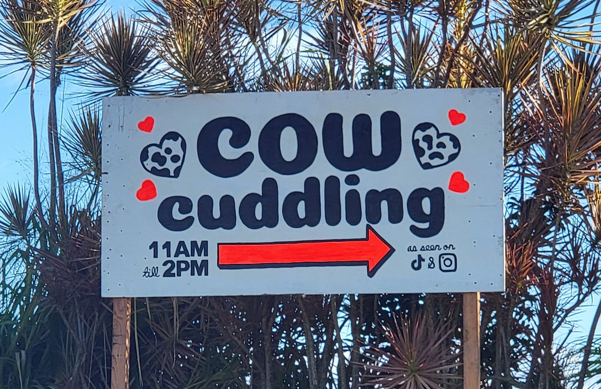
There's some kind of farm/petting zoo near Akaka falls. Can I bill my insurance for this "cow therapy"? Lol insurance I don't have that.
No it's okay, I don't want to retire, I'd rather have goat soap. Just need Warren Buffet to cosign the loan of course.
A local told me landscapers come trim coconuts off the palm trees on his property then sell them to tourists for 15$ lol. Get played.
Entry fee for parking and seeing the falls. Just 5$ so it's worth it, but they really milk you don't they? haha. Made them watch my bike.
There's a nice loop in the rainforest for you to check the falls.
The falls themselves, 135m high.
This is a huge climb up to Kulani Correctional Facility however there are multiple signs that warn you of trespassing. Not sure if they enforce it or what the hell that means because the road has multiple dirt bike trail entrances and a metric ton of abandoned cars and household appliances along the way. Clearly people go there. I still turned back because I don’t want to fuck around with the typical arbitrary enforcement of rules that has become a common plague of our society.
It's a pretty bad climb anyway, at least the portion I did. Just in the woods. Saw a huge black pig dead by the side of the road though!
"We don't let you out of the basement until you're skinny, or your money back!".
Stopped by the Lava Tree Molds park on the way south.
There's a 1 mile circuit for you to do around dozens of these molds. It's a nice little walk you can do if you're in the area.
You really have to know what you're looking at though. These look man-made.
Going south along Leilani Estates to witness the 2018 devastation. Life is slowly growing back onto the lava field.
You can see the lava flow pretty clearly on GoogleMaps satellite view.
Burned coconuts growing in the lava. Is that why coconuts are so huge and hard? To resist lava and grow after disasters? You google that, not me.
Went back to Hilo along the coast and through this cool "local traffic only" one lane road in the rainforest. I did a few miles on private dirt roads as well and got barked at by a loose dog.
Back on public road now there's more nice beaches that seem way too dangerous for activities...
While nowhere near as ludicrous as Mona Kea, this was still a 3200m+ climb before the volcano erupted and buried about a mile of road, blocking access to the observatories at the top. The only people I saw all day were researchers or tour guides flying a helicopter and signaling to me to not take their picture and just keep moving. I should have taken their picture out of spite, it’s my one regret in life. What are you going to do? Chase me? That just makes it cooler.
Sidebar: Downtown Hilo is really run-down. Most of Hilo just looks like a random dumpy town you'd find in the middle of nowhere in Vermont.
Little stop by Rainbow Falls again. Was told the rainbow is in the morning. I want my money back >:(
Back on the Saddle road to take a few last pictures of Mona Kea.
Quite a sight as you can see the biomes changing with the elevation. This is still over 2000m of mountain you're looking at.
The road to Mona Loa is literally right across the road to Mona Kea, where the Saddle road peaks in elevation. It's just a one lane perfectly smooth road with nothing but lava on all sides.
It almost feels flat compared to Mona Kea but it's still a 4-5% grade that undulates like a roller coaster.
Mona Loa itself has little to no views as it's so "flat" and wide. It's really more to enjoy Mona Kea that you come here. Absolutely stunning views.
You can see Maui from here as well. The lava flows on Mona Loa are much more recent. You can see how far it spilled in the distance, reaching even across the road onto the Mona Kea side.
End of the road at about 2700m elevation. You can see on Googlemaps that it's only destroyed for around a mile so if you're really motivated feel free to keep going to the top.
Mona Loa seen from the Saddle road intersection. The peak is at 4169m ( though the road stops at 3200 ) but it's so wide it just looks like a little hill from here.
Felt good so did a bonus loop along the coast. Gorgeous day unlike the gray skies when I did my snorkeling earlier.
Sea turtle sunning itself.
It's really a shame how run-down and full of bums this city is because when the weather is good, it's amazing.
Thin-Shelled rock crabs can be seen skittering about on all these beaches.
Back near town, another gorgeous beach.
Reeds Bay Beach park has a loop along a dozen of these huge and awesome Banyan trees.
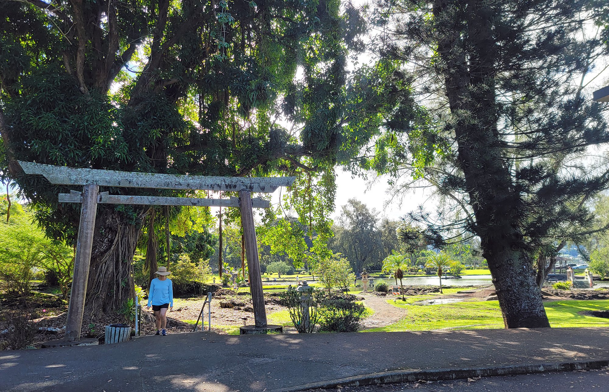
Lili'uokalani Japanese gardens.
It's actually quite large and has a nice network of paths and ponds.
This park is 30 acres! Hawaii has a huge Japanese influence to this day.
More of these. The world's most endangered goose according to wikipedia!
Statue of Kamehameha along the waterfront back towards downtown. People had made fruit/flower offerings in front of him.
That ends my riding on the Big Island! I enjoyed my time here and stayed the perfect amount of days because I had just about ran out of place to go and things to see. Loved my Airbnb here. Hilo is a relatively cheap city to stay in because it rains 75% of the time and has “bad” beaches. The real estate is cheaper than Victoria, BC, which I find astonishing.
I wish I had a few more days on the Kona side but this is just how the flights worked out to meet with Alex and do Mona Kea!