Touring Canada Week 16 - Jasper and Banff Viewgasm


Look at this ludicrous detour route, the entire point of which being to see statues. Spent 3 days riding around Jasper and it was definitely the most epic place of this entire trip.
Messed up and rode in Elbow lake region instead of the HighWood pass I originally planned. Whoops. It’s literally 20 minutes drive from where I rode, on the way to Canmore. That’s like 5-6 mountains and passes I missed in the rockies due to weather/dog/dumb. Will have to come back!
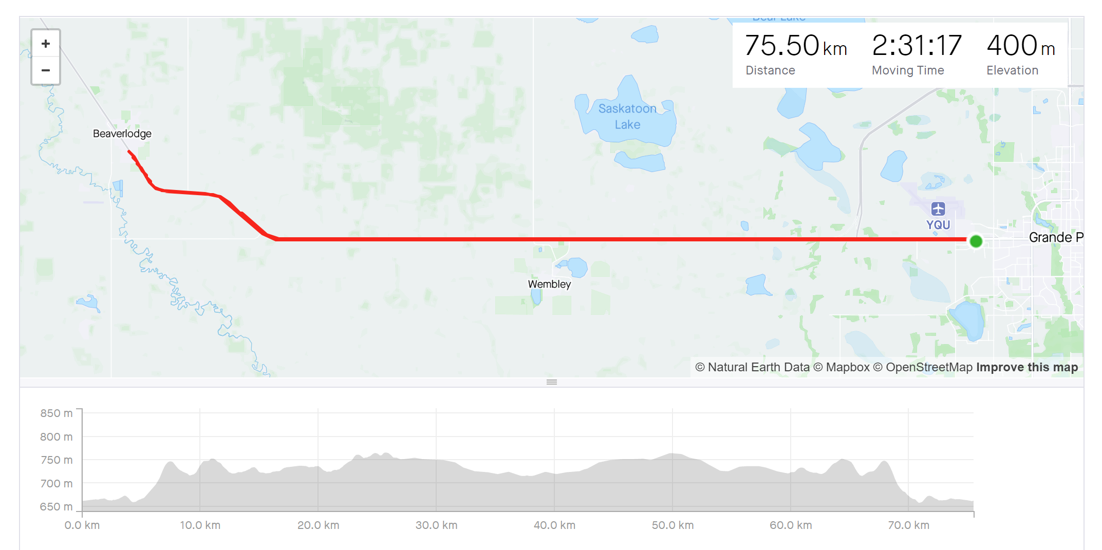
There we go, the ultimate destination of my wild northern detour: The World’s Largest Beaver. Just a garbage out and back highway ride to save me 80km of driving. The way out was also the windiest ride of my life with the headwind slowing me down to 23kph. Then 45-50kph going easy the whole way back.
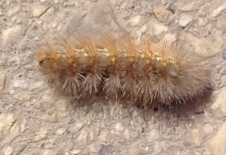
Saw a bunch of these little guys trying to cross the highway to their doom. Passing trucks would blow them away and send them rolling around.
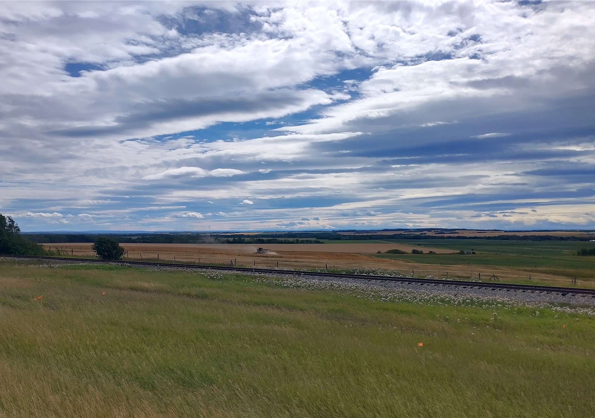
Just this for 80km. Flat prairies and howling winds.
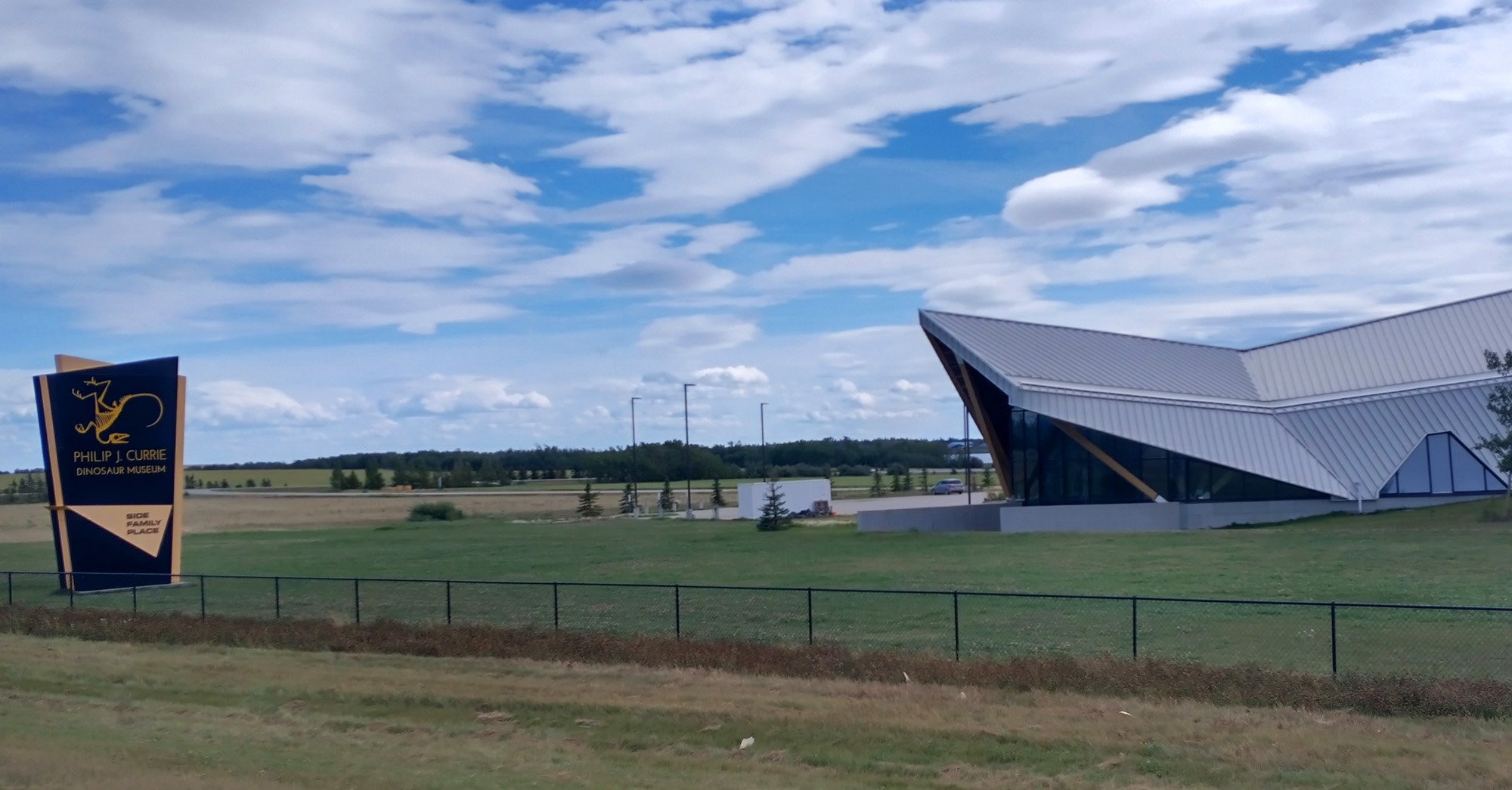
There is also a dinosaur museum on this highway.
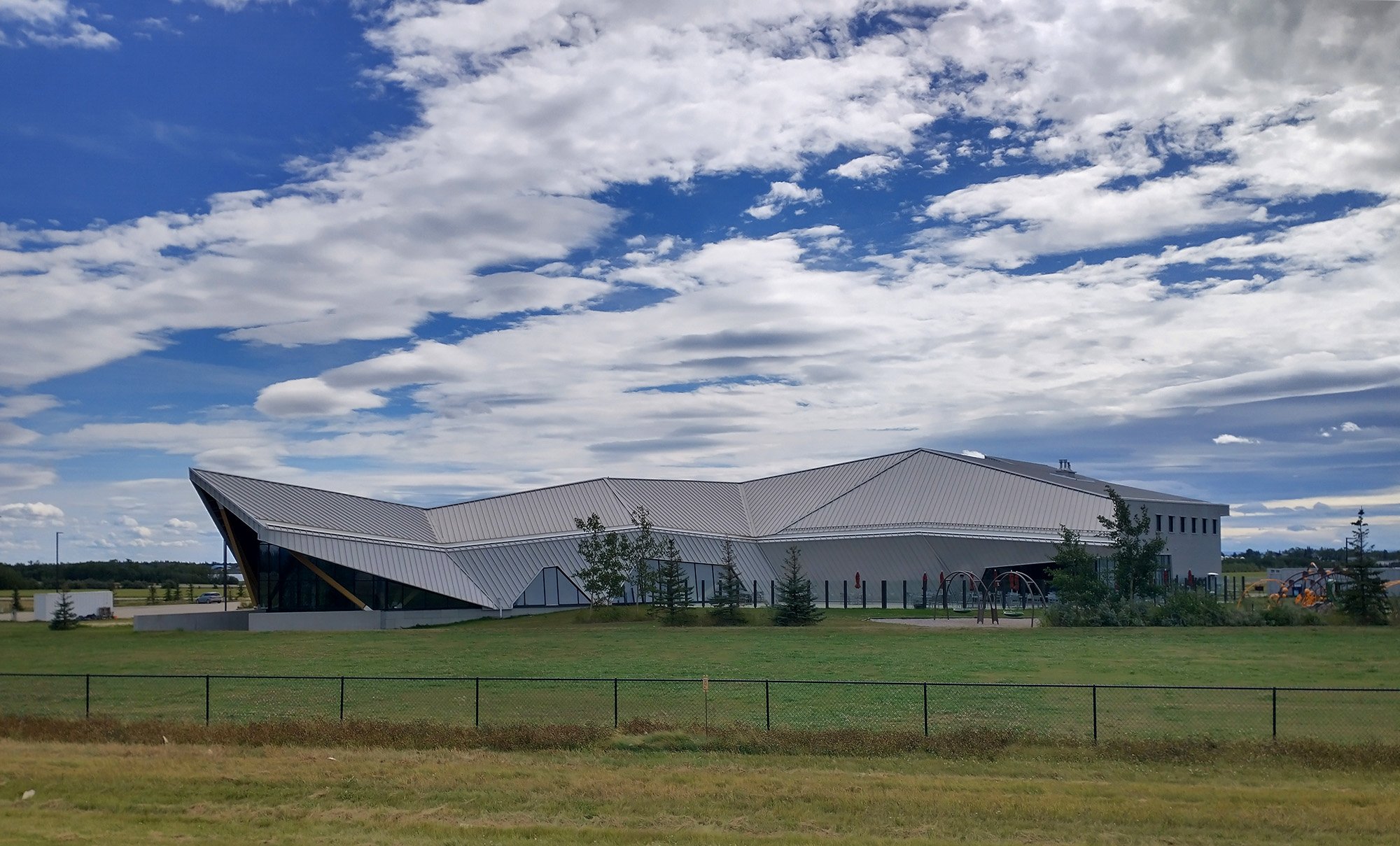
The modern architecture really sticks out in this otherwise rural / industrial remote region.
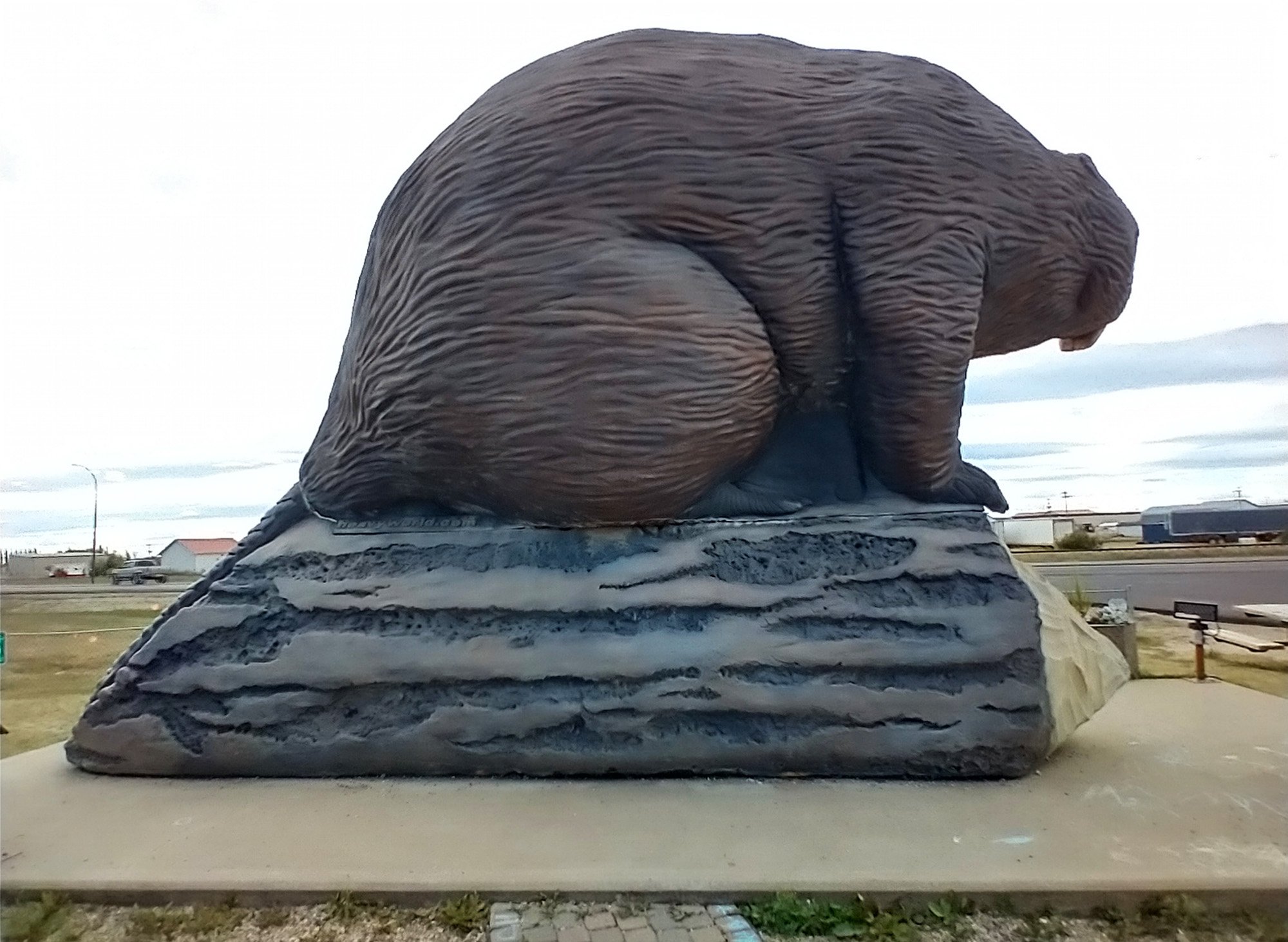
There he is. At long last, after 90 minutes of getting blasted in the face by strongwind.
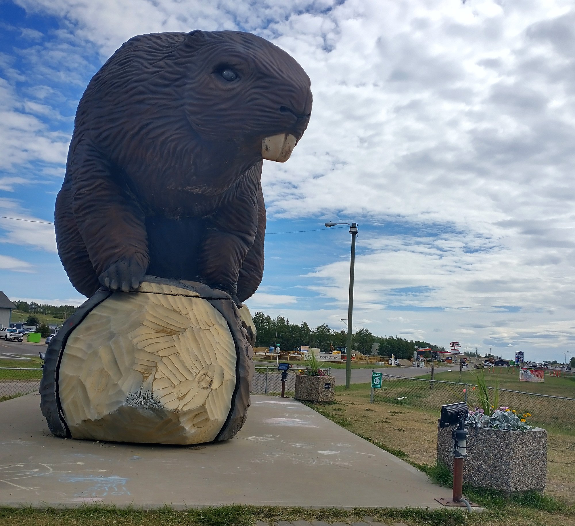
Majestic
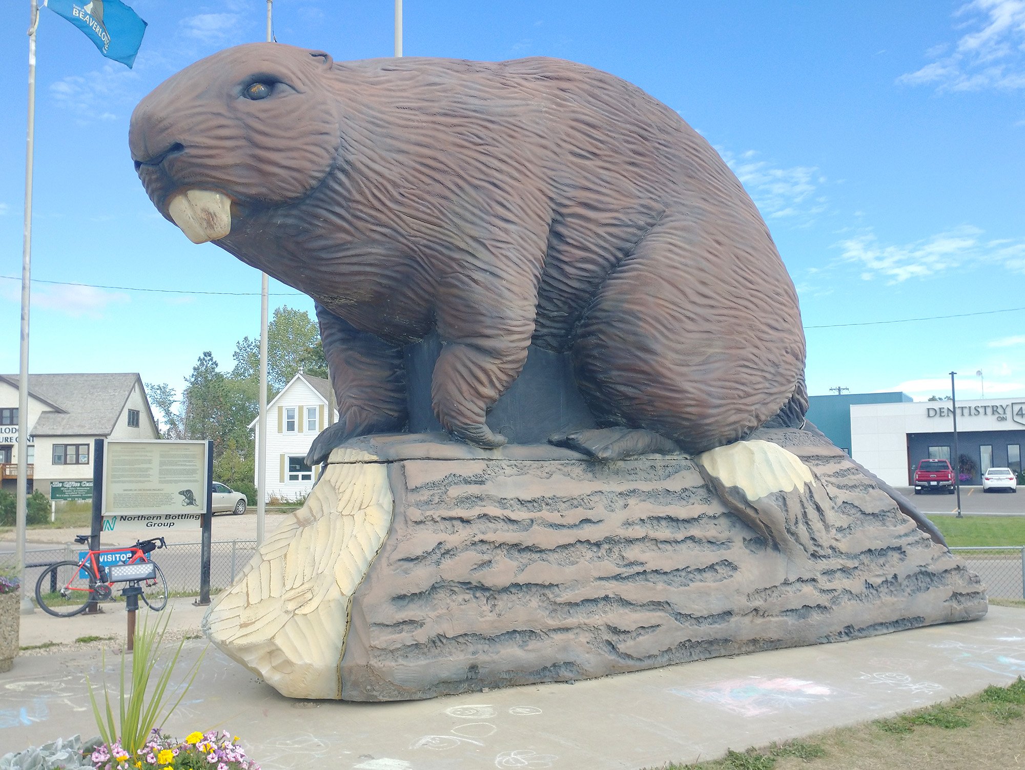
Ambitious
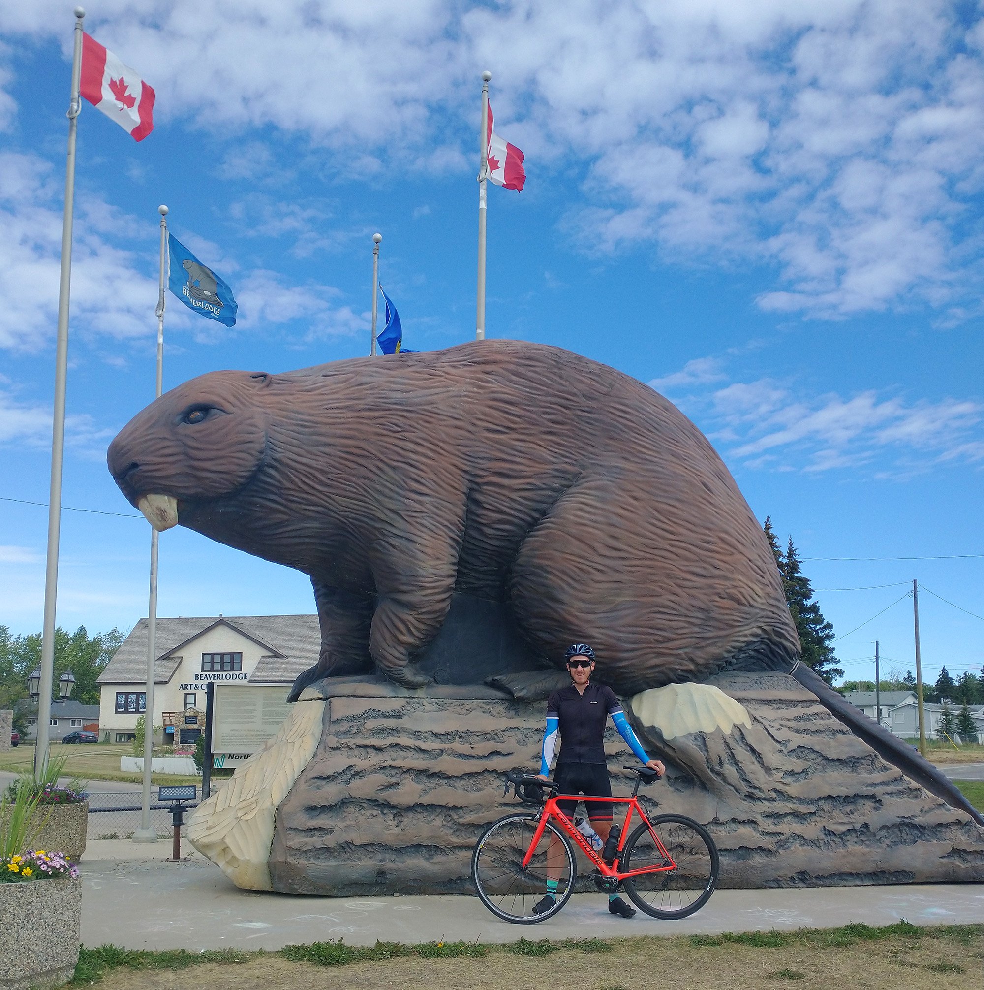
Glorious. The beaver is ok too.
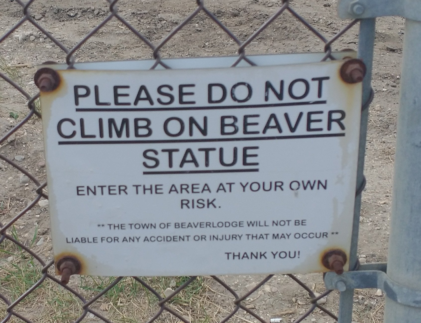
People ruin these statues. The older ones are full of chips and missing paint. There was a big fish one where the tail fell off before they just removed the whole statue. Preserve our statues folks.
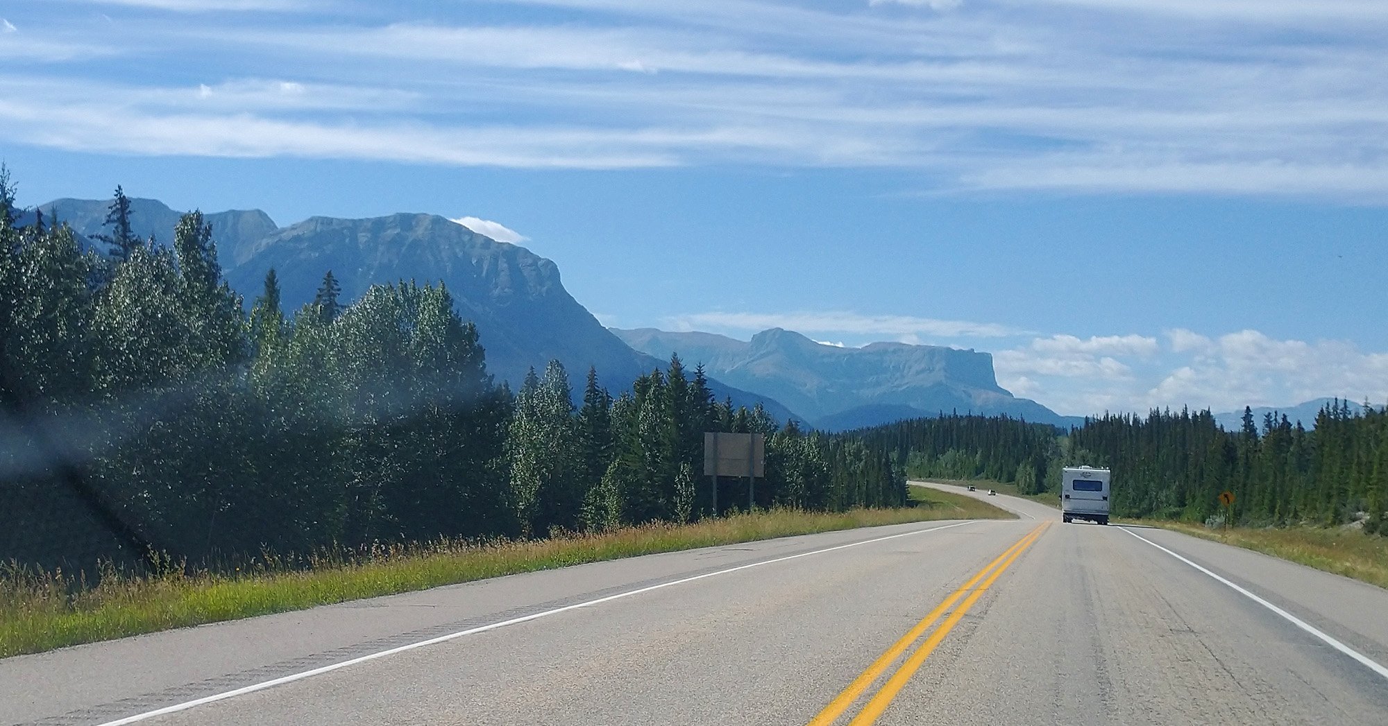
From there I drove 3 hours back towards the Rockies, to the town of Hinton, which looks like a huge tourist stop for people heading to Jasper/ Banff.
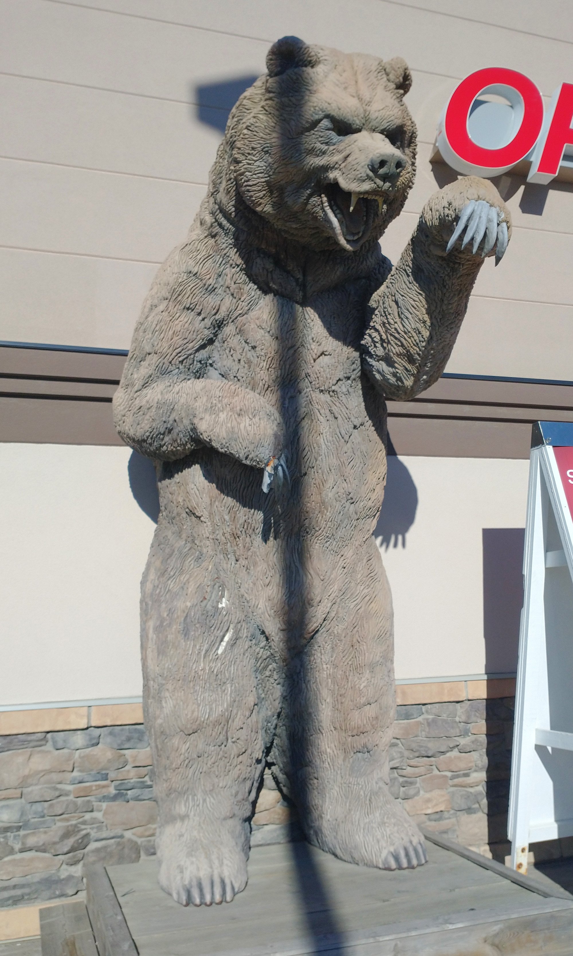
The grocery store there has this badass 7 foot tall Grizzly.
First day in Jasper and first day back in the Rockies. This entire area is just nuts. Number one spot in Canada for natural beauty in my opinion, at least so far on my trip…. But I’ve seen almost everywhere else already.
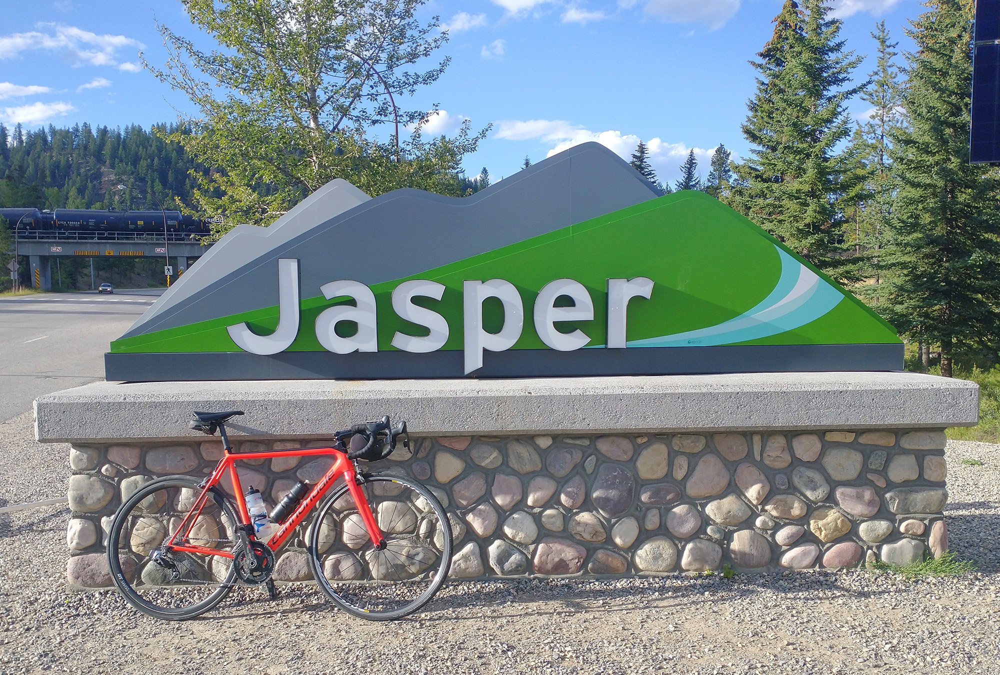
Welcome, welcome.
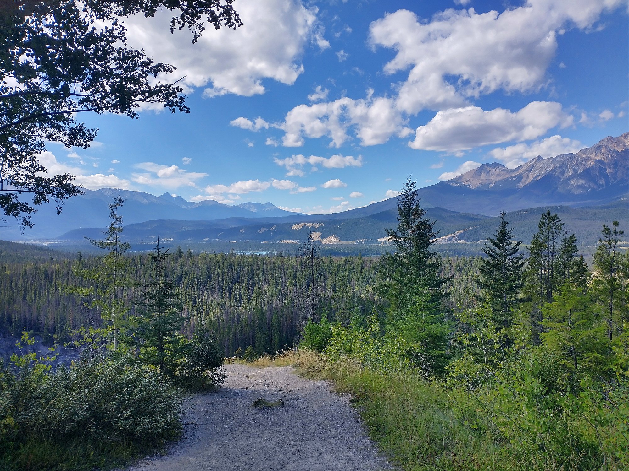
Was a perfect clear day with cobalt blue skies and endless visibility.
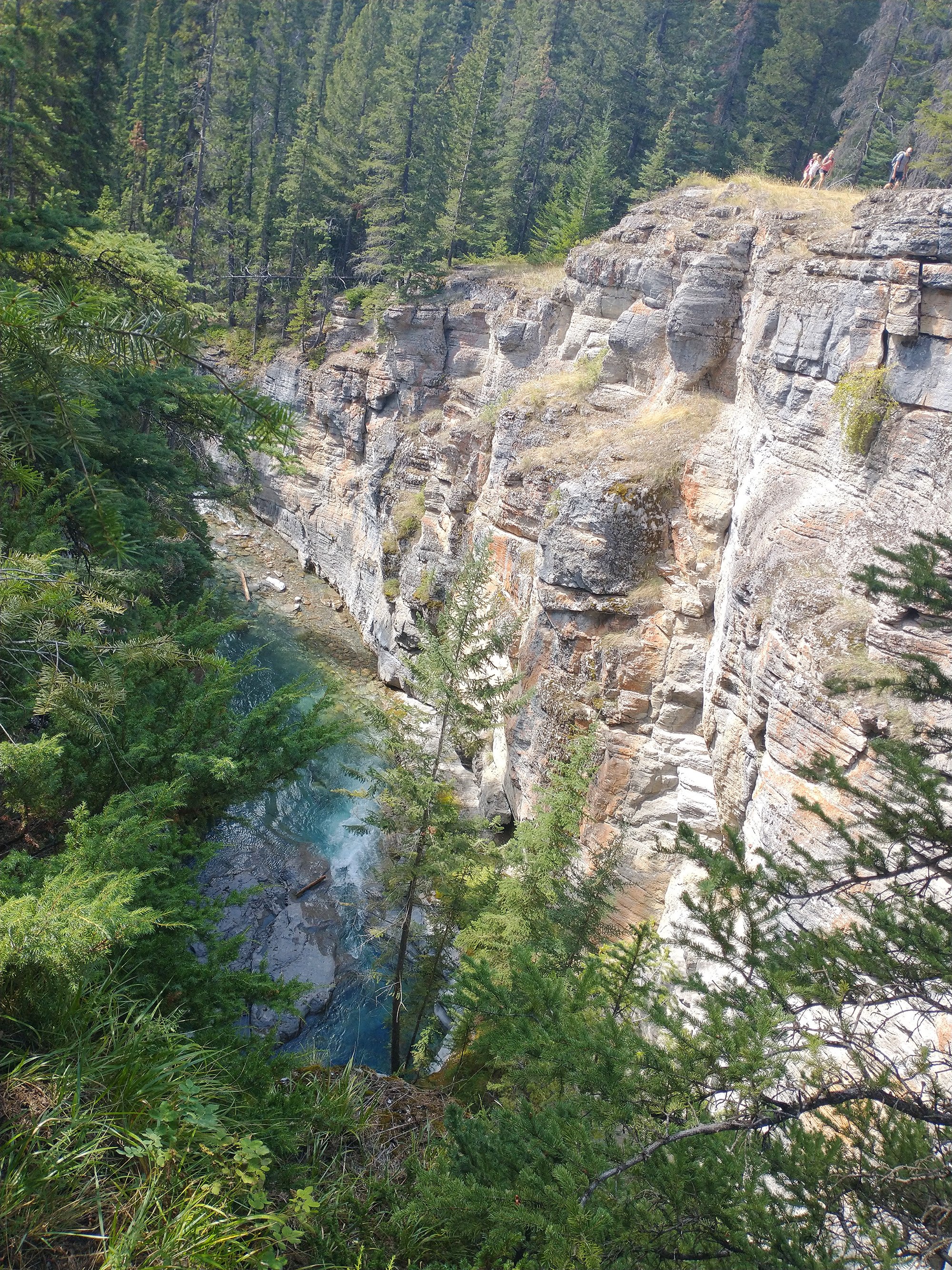
First stop was Maligne Canyon, early on in the climb.
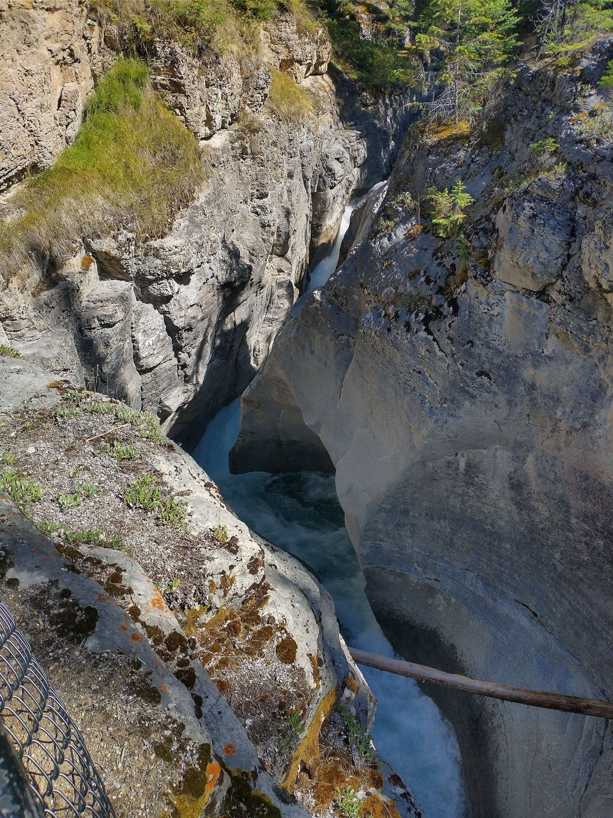
There's a decently long path along the river/canyon with lots of spots to stop and take pictures.
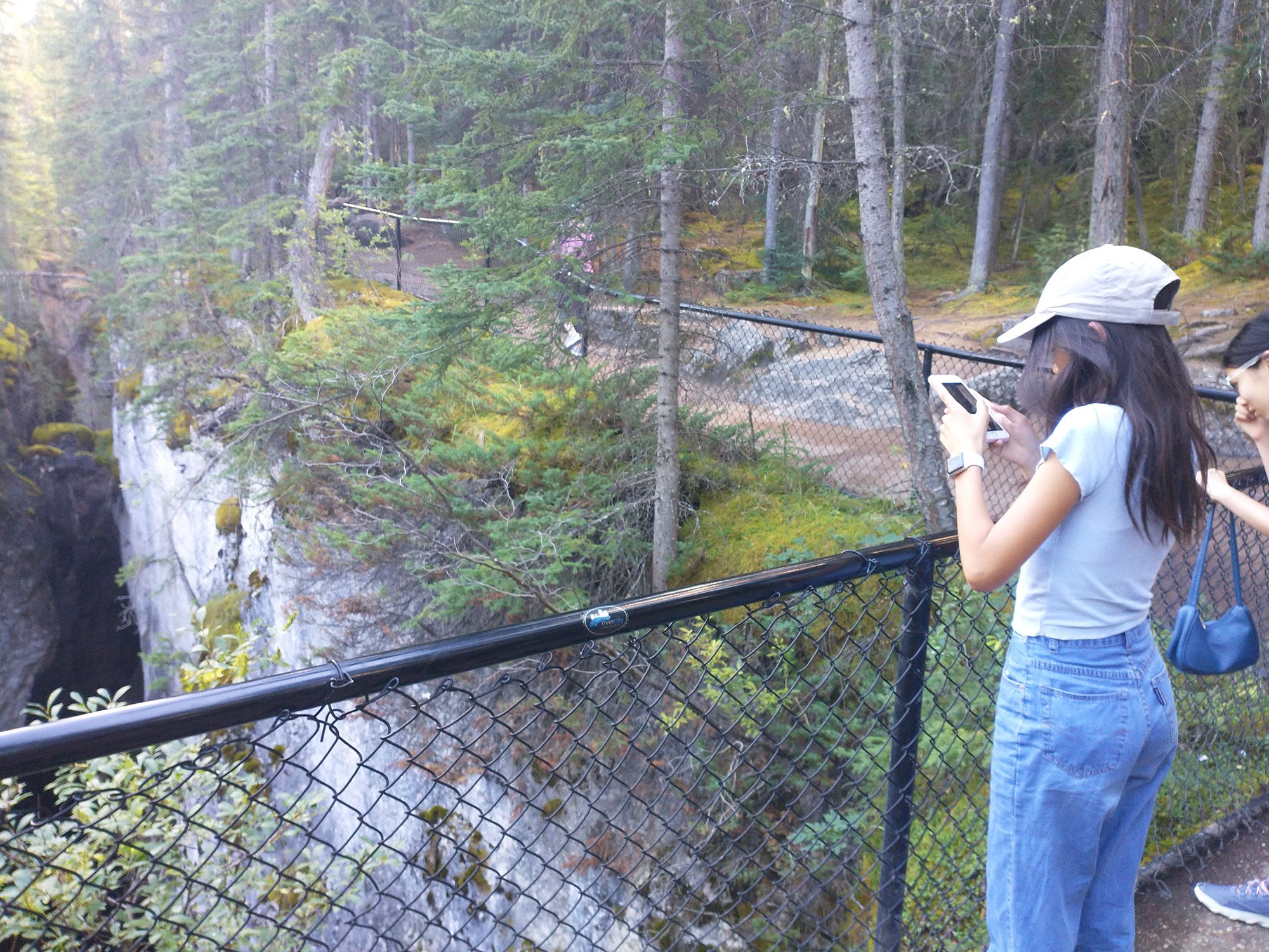
Huge tourist swarms.
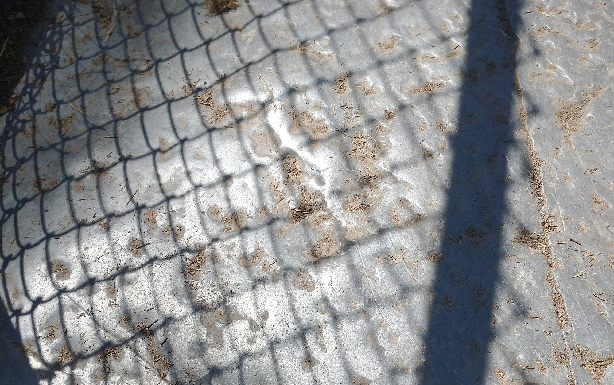
The rocks on the path were grinded smooth by all the foot traffic over the years.
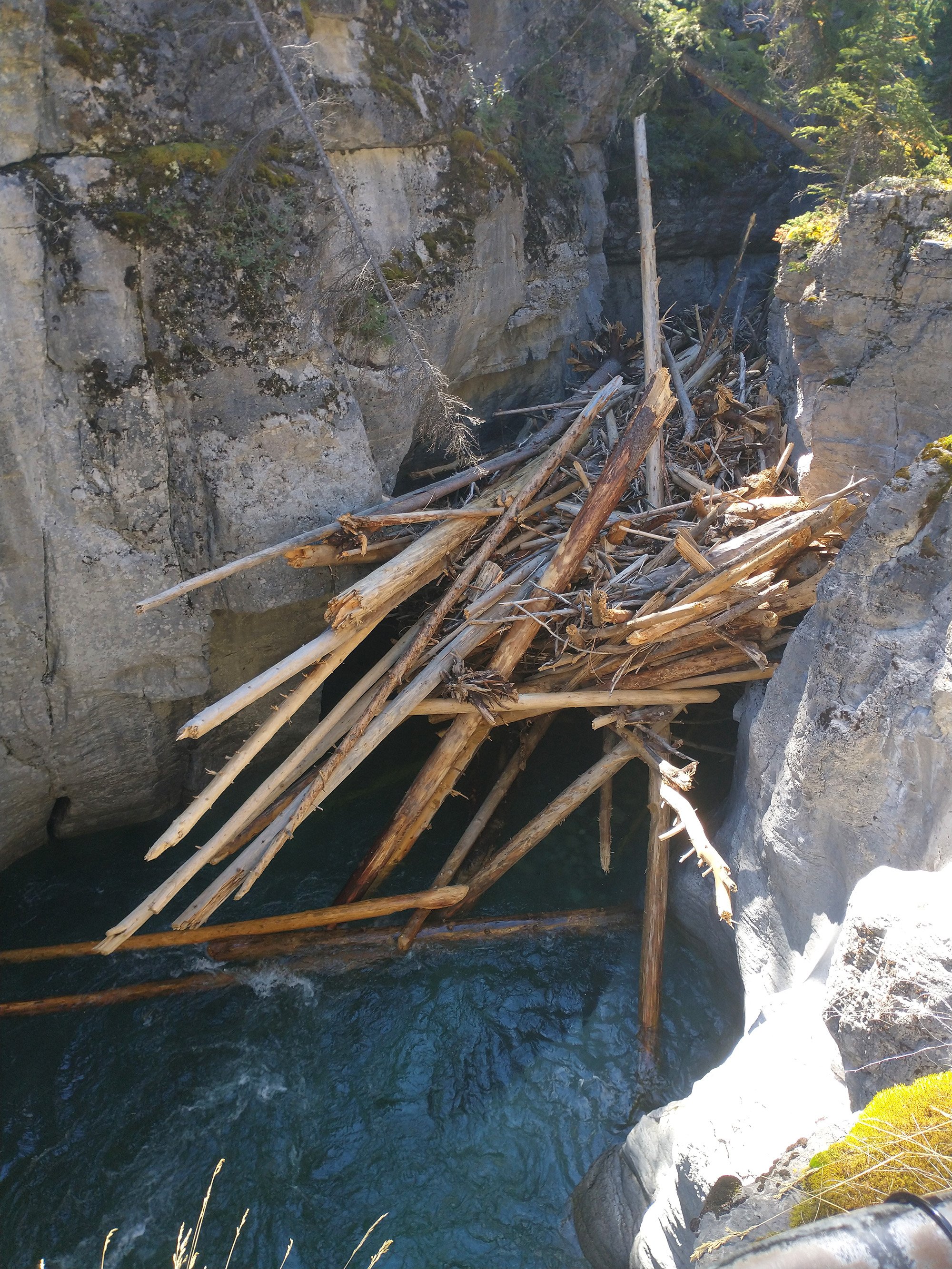
Bunch of logs stuck in the canyon.
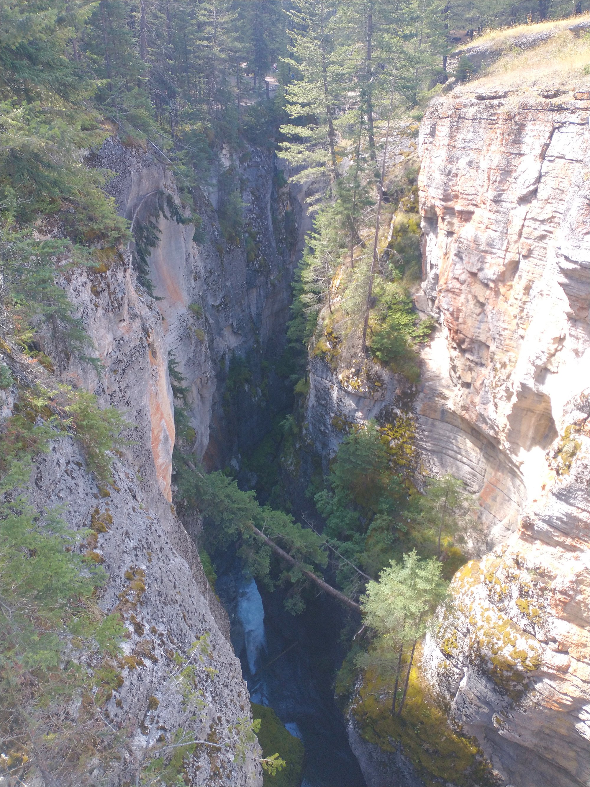
It's hard to do this justice with just pictures. You have to go.
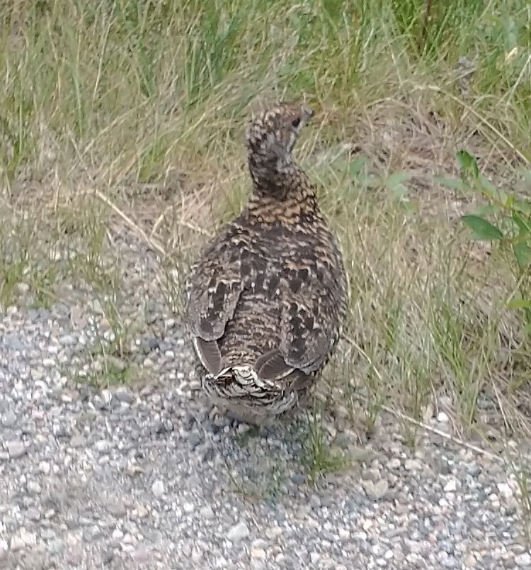
Back on the climb, saw a group of these little guys right next to me. They let me take a picture before running away.
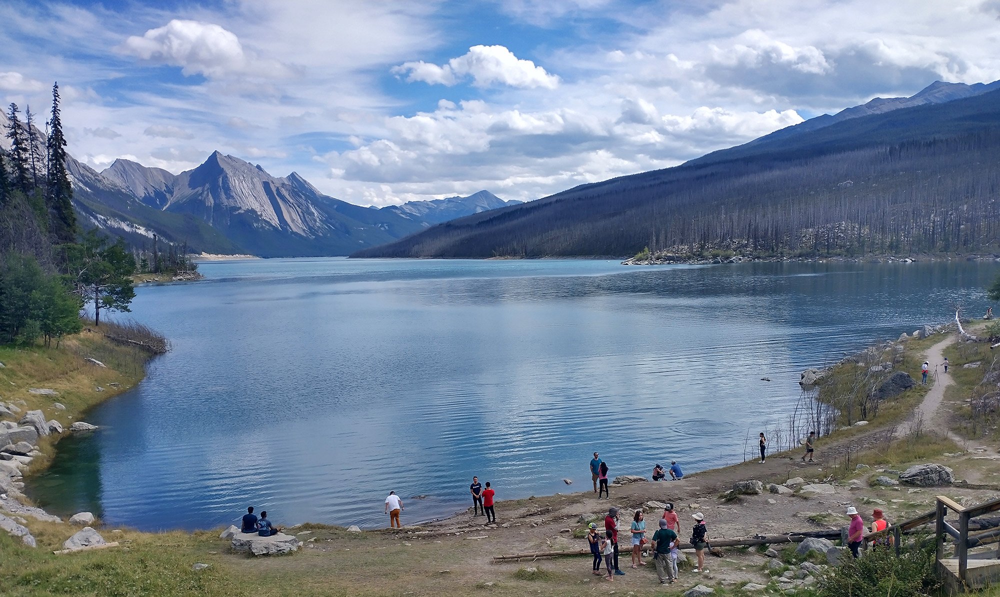
The first lake you come across is Medicine lake. It's way greener than this picture makes it looks. All the lakes are green here.
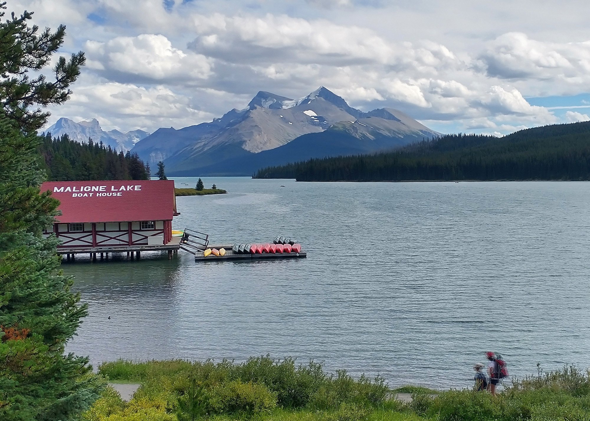
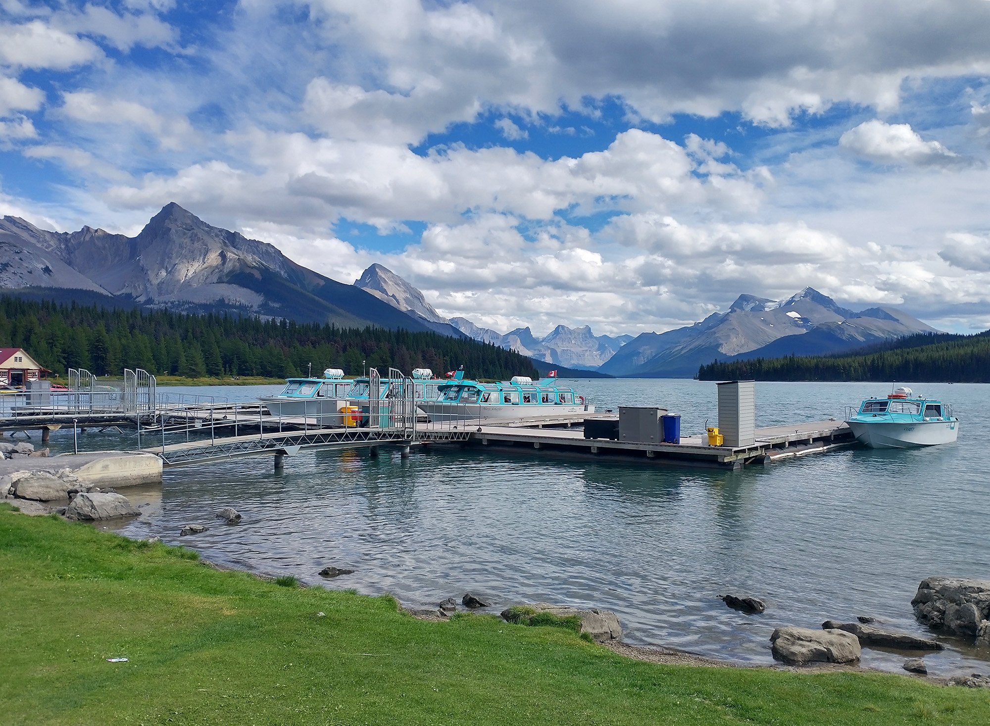
After almost 50km of climbing up, you reach Maligne lake!
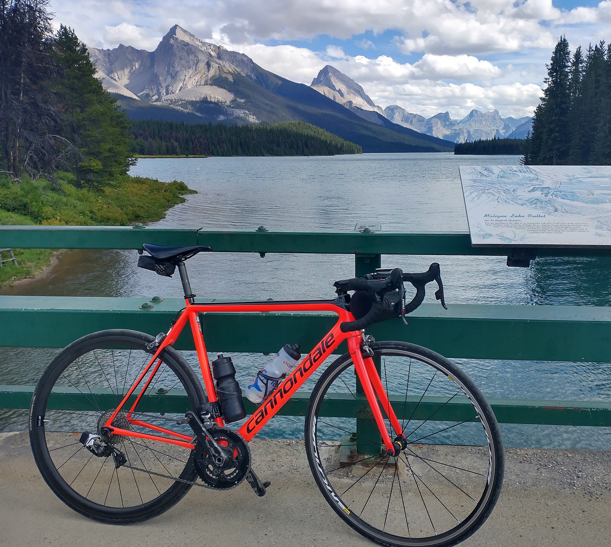
There's a lodge, restaurant and marina on top. You can do all sorts of non-bike activities here. But why would you want to?
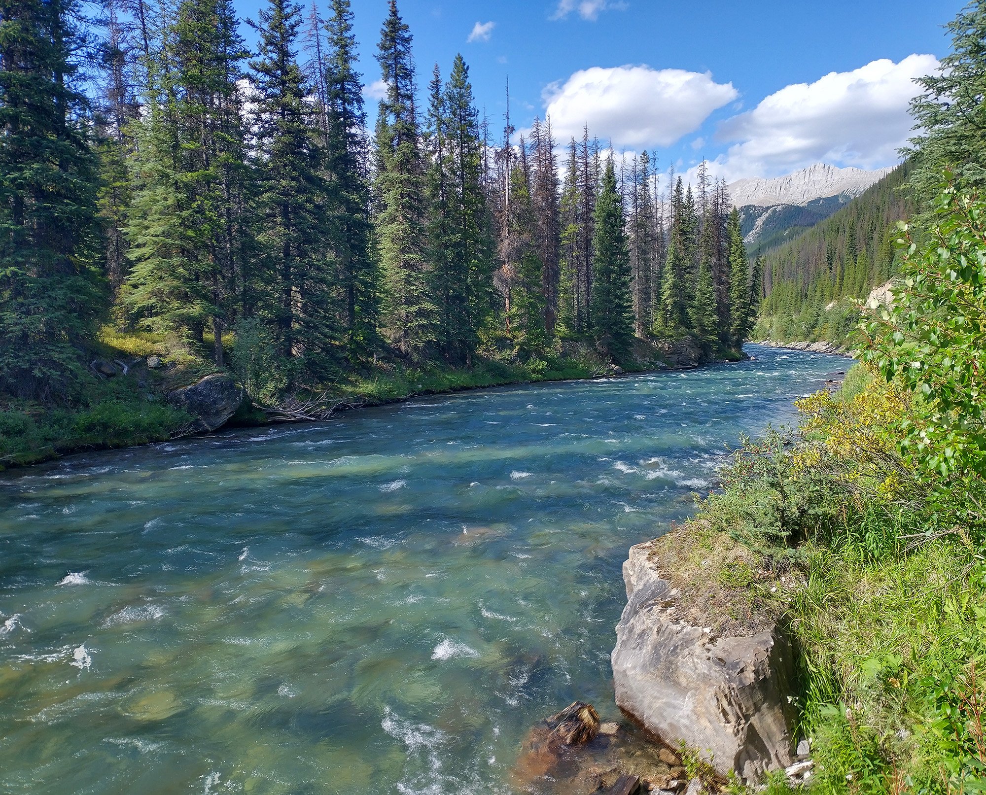
Going back down you follow this green river that flows from Maligne Lake into Medicine Lake.
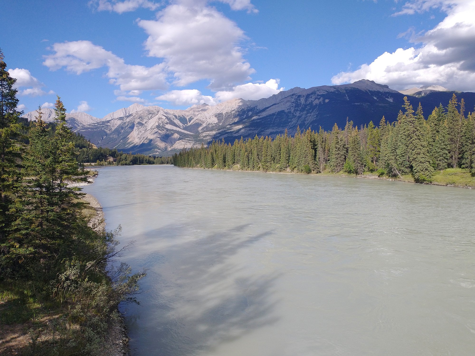
Then cross the Athabasca river, which has this blueish grey tint to it. It flows for hundreds of kms through the rockies.
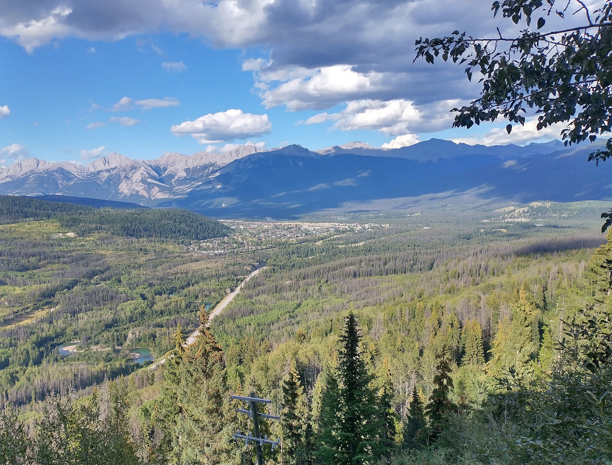
Added a little bonus for the day: The Skytram climb. It's a pretty steep 160-170m hill that gets you to the gondola station.
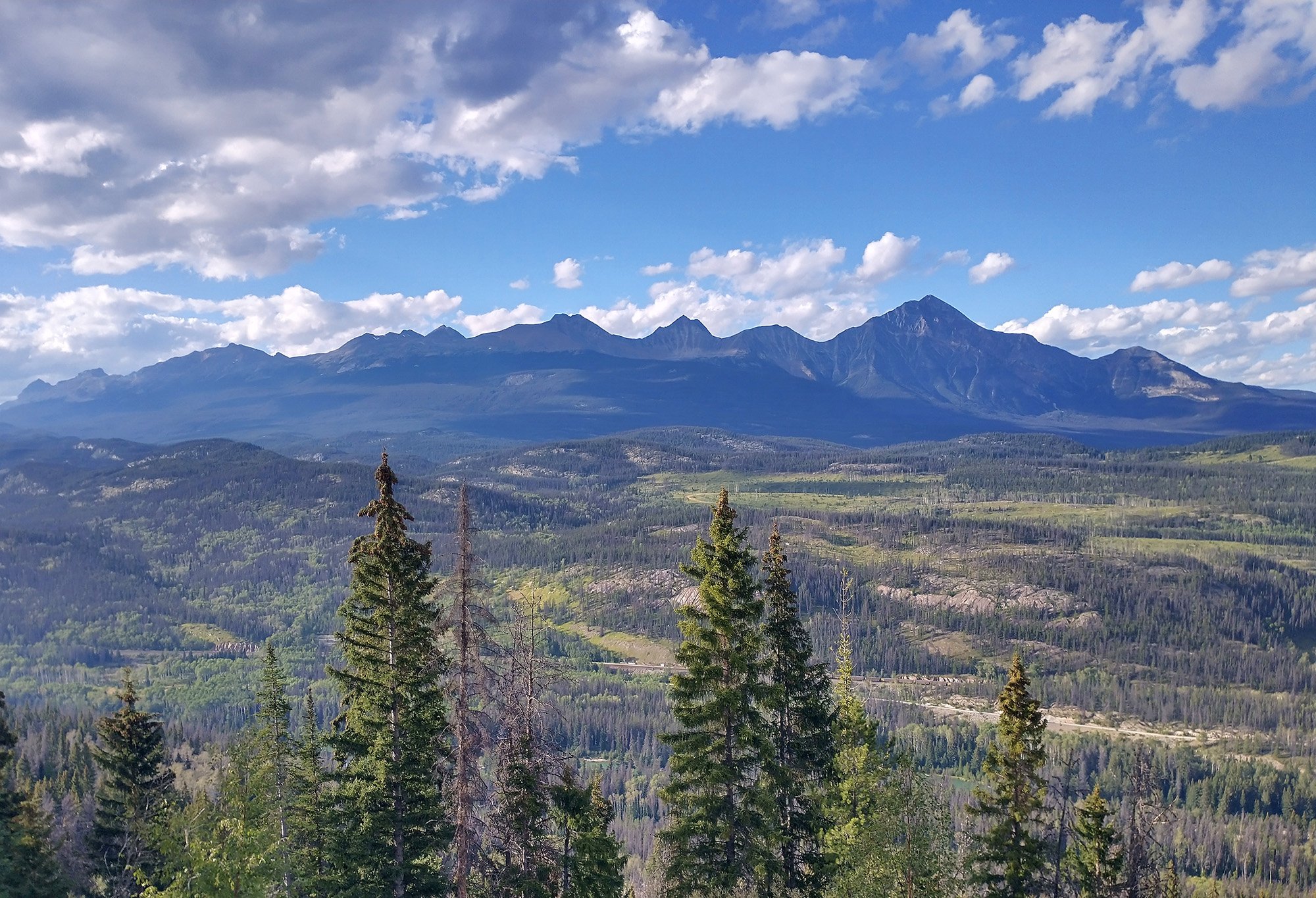
It has some epic views of the town and region in general. Must be quite the sight in the gondolas.
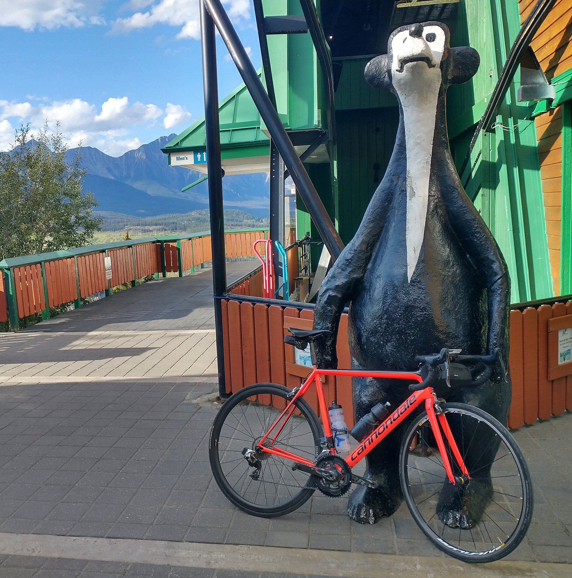
There's a "Jasper the Bear" here as well. This is some kind of town mascot thing, there's several all over.
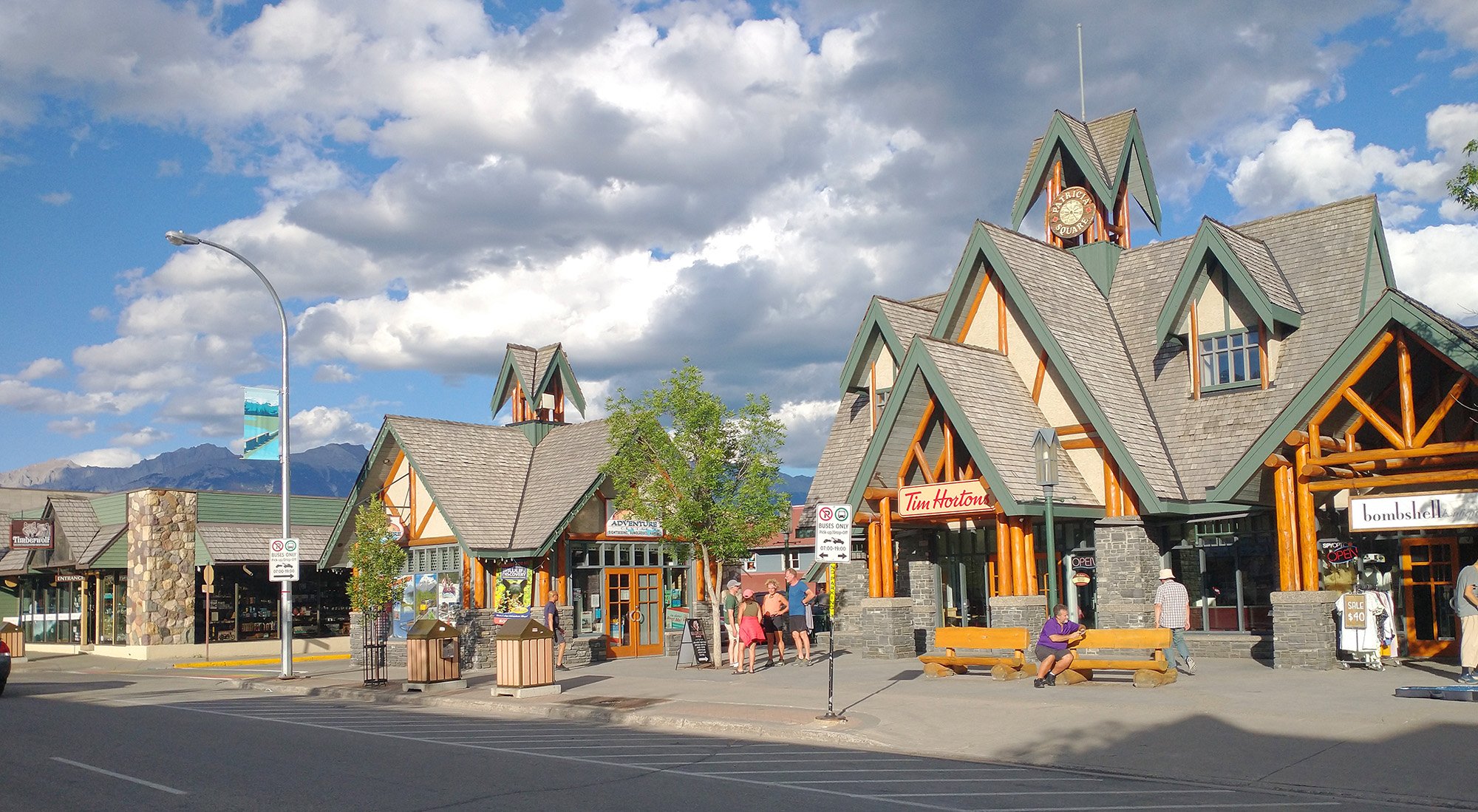
Finishing the nice day back in town for an easy spin. It's got a whole railroad/log cabin theme going.
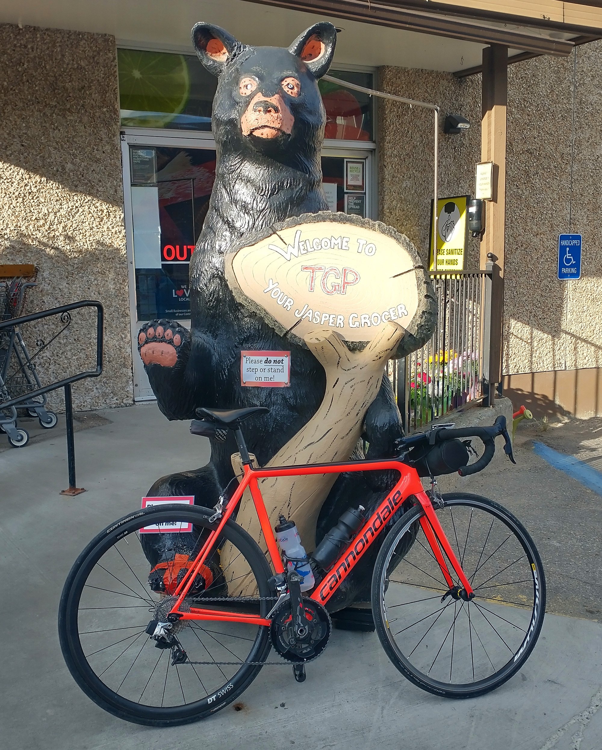
Lots of bears everywhere too.
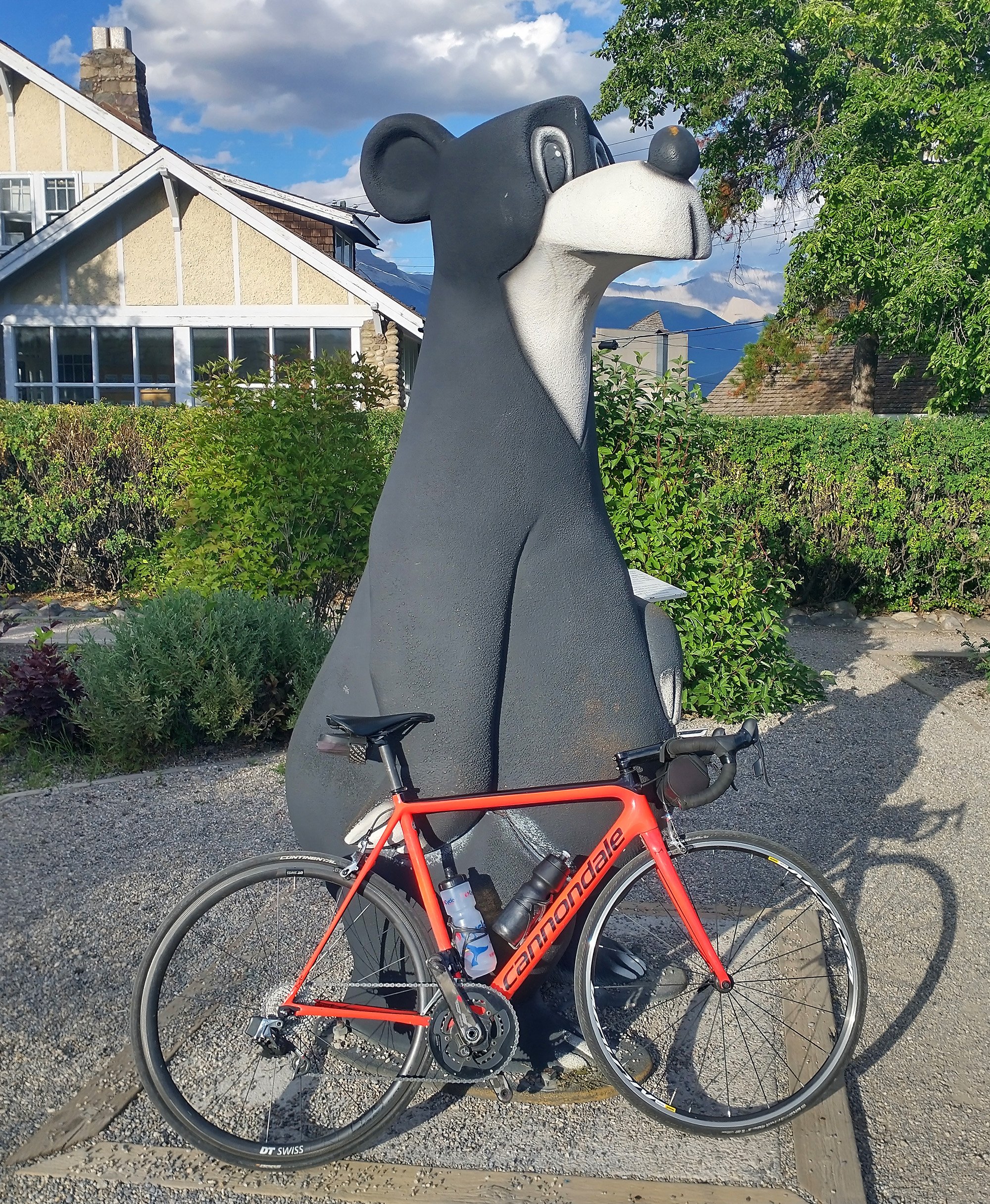
Like this other Jasper Bear here.
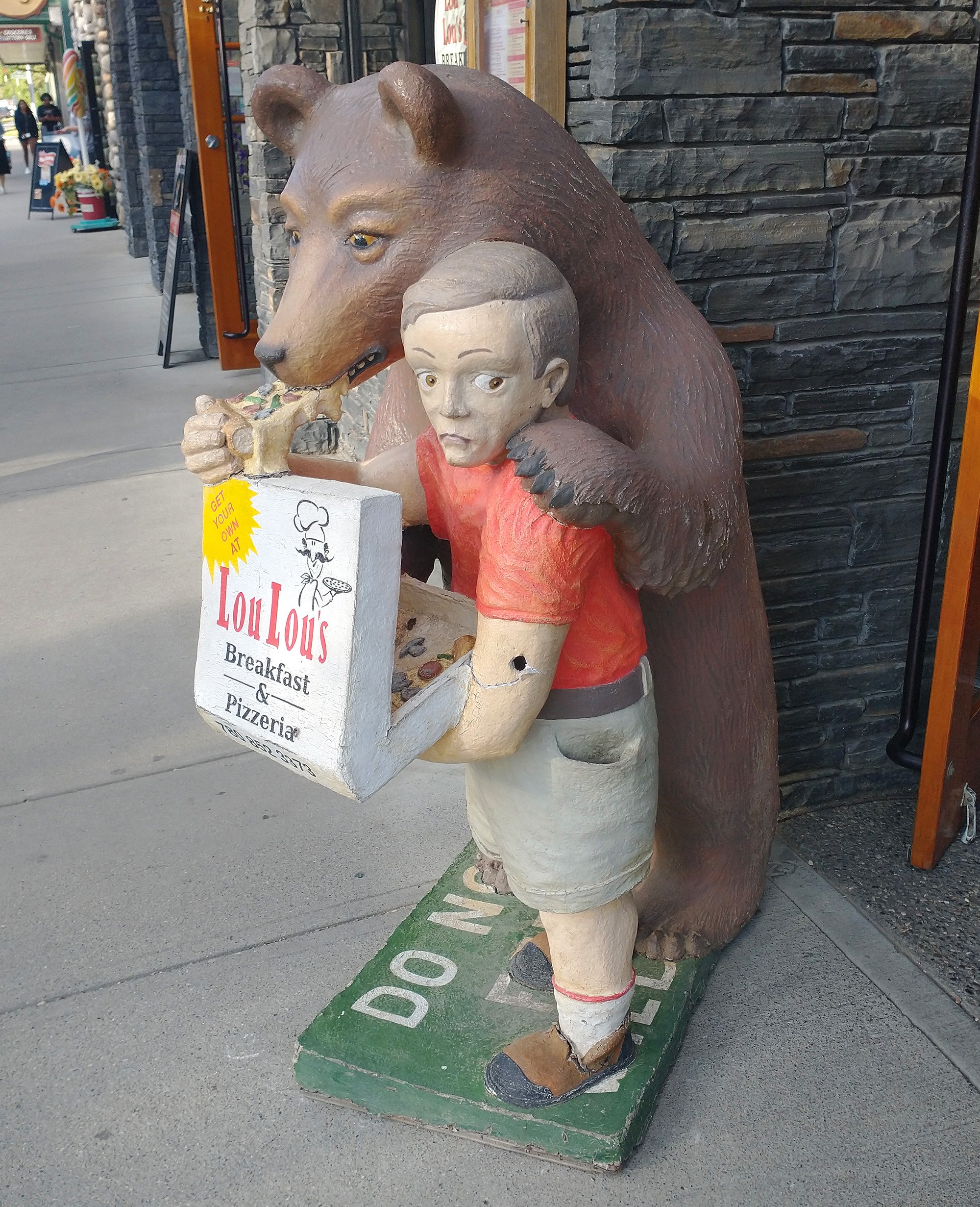
And this weird pedobear in front of a pizzeria. Must be really amazing pizza to still get business with this.... bold... decoration.
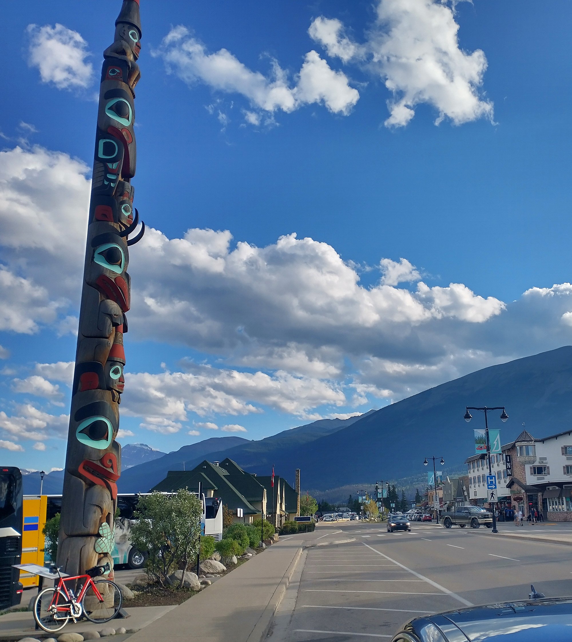
Main street of the town. Just perfect day.
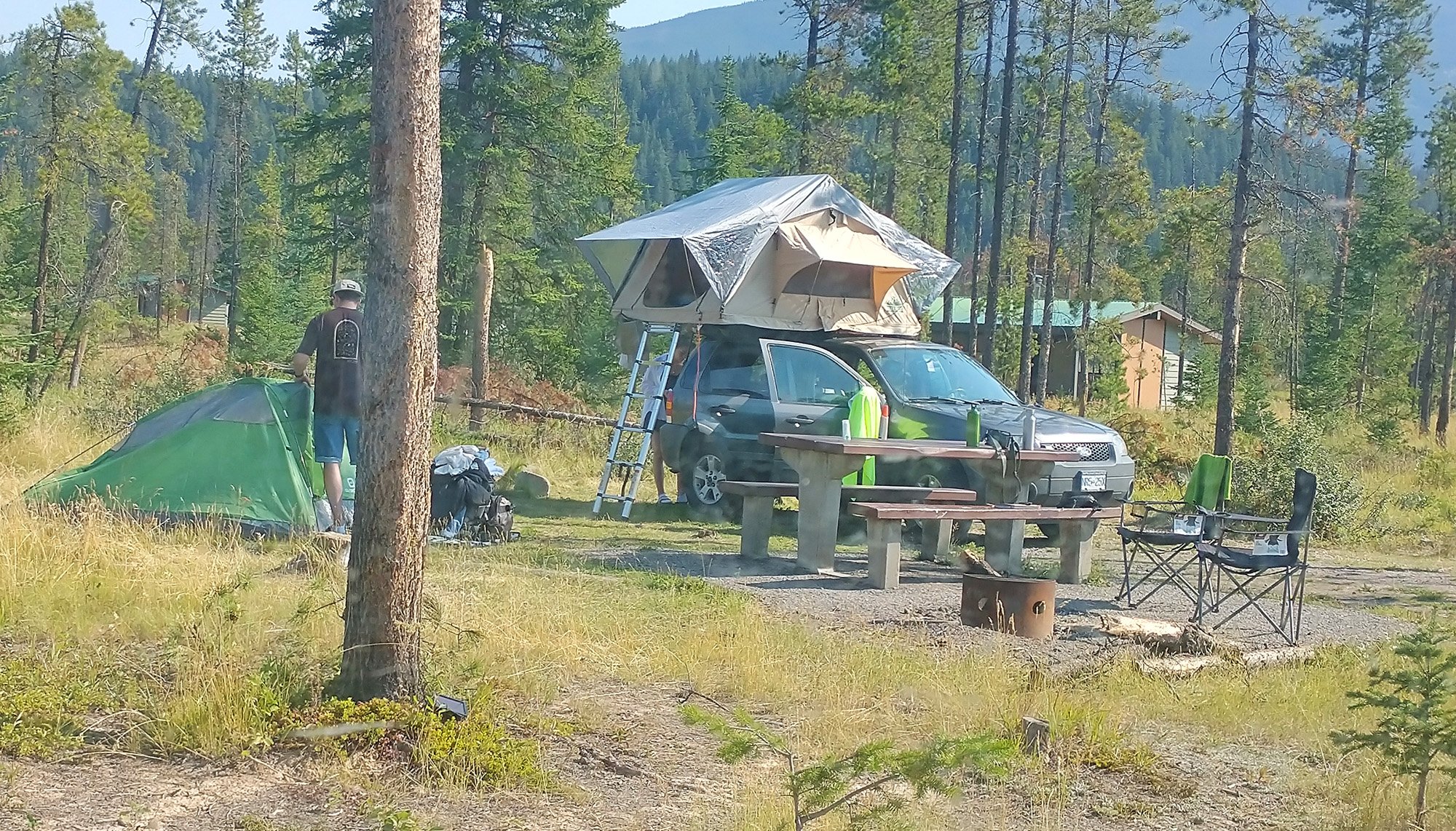
Was treating myself to camping that night. These guys next to me took an hour+ to set this up. Car camping is five minutes. Love it.
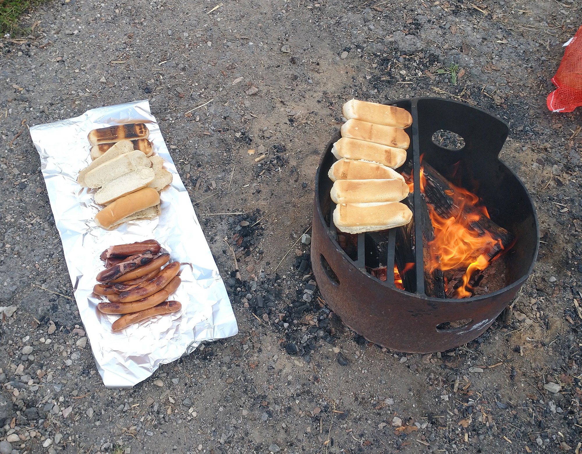
When I get a fire, it's time to batch cook! You really don't need much camping gear/garbage. In fact you basically don't need any beyond a way to start a fire.
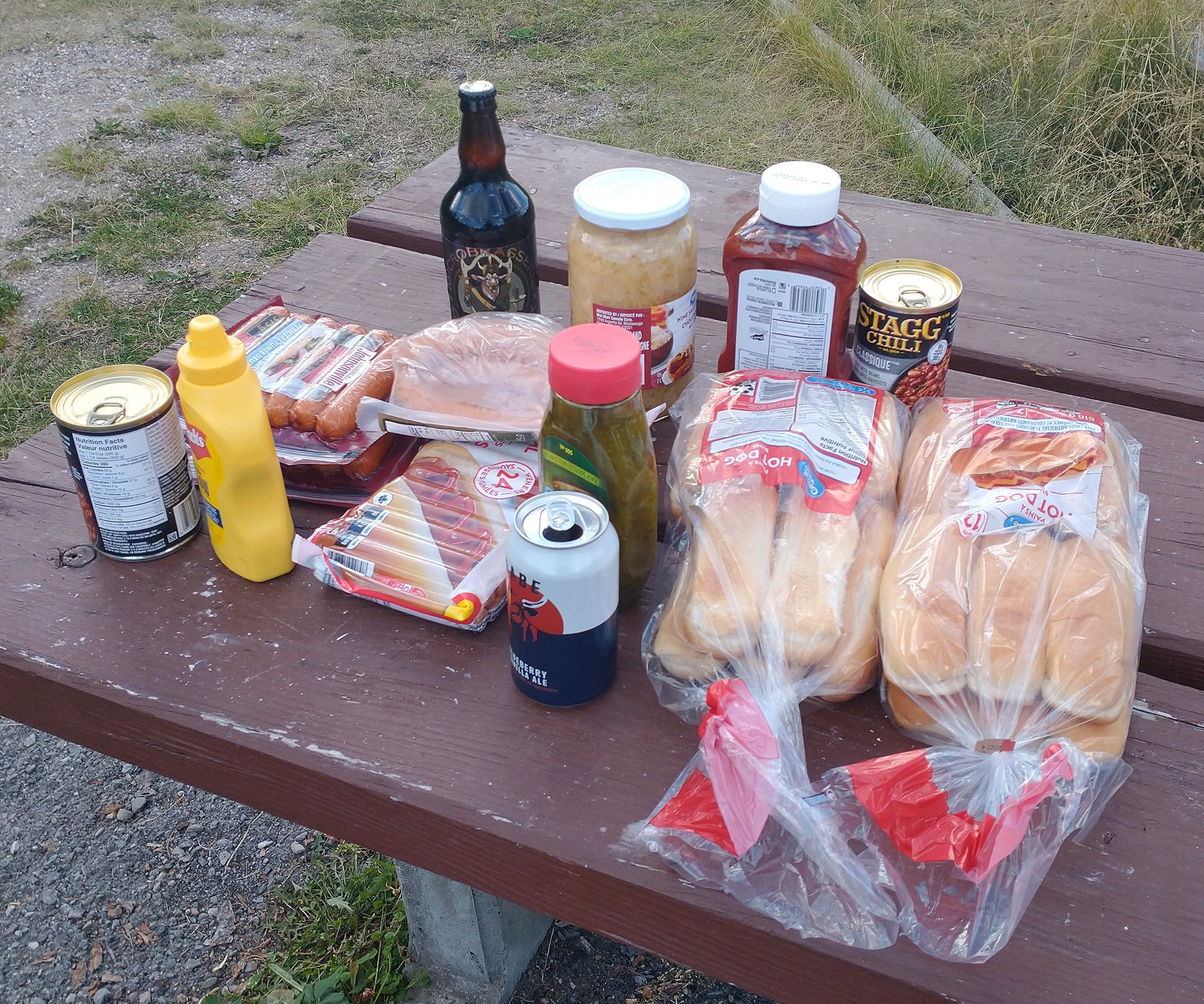
Oh yeah, all dressed dogs and chili dogs. Hadn't eaten yet that day in preparation for my feast.
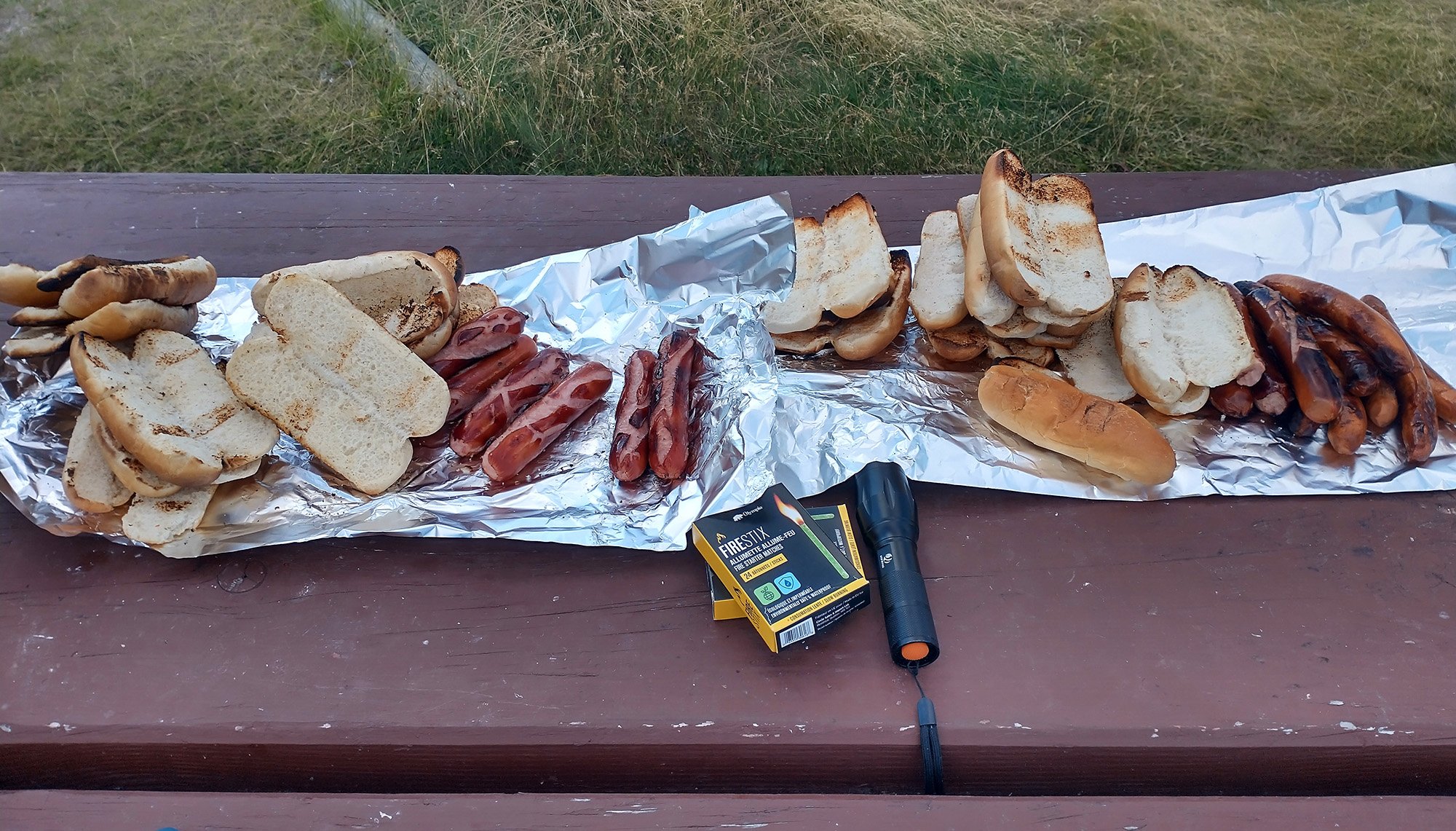
My huge stack of dogs. So great to eat something other then yogurt / canned food / sandwiches. Love that smoky campfire taste.
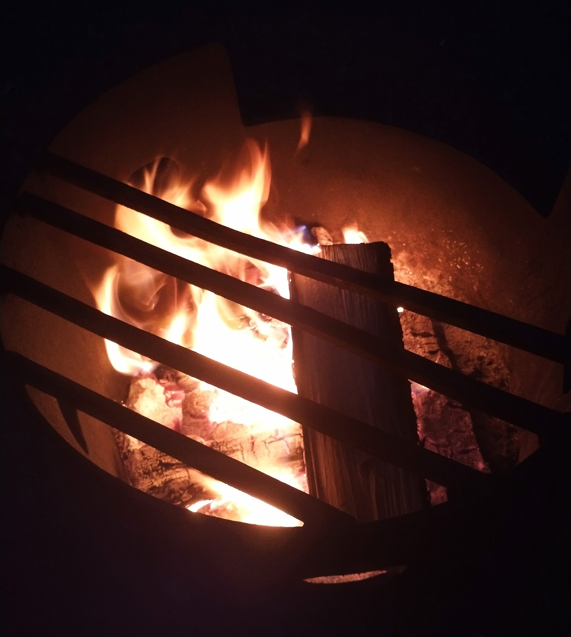
Few beers, like 8 hot dogs and then time for sleep. What a great day that was.
Called this the perfect day of cycling. Basically saw all of Jasper in two days of riding.
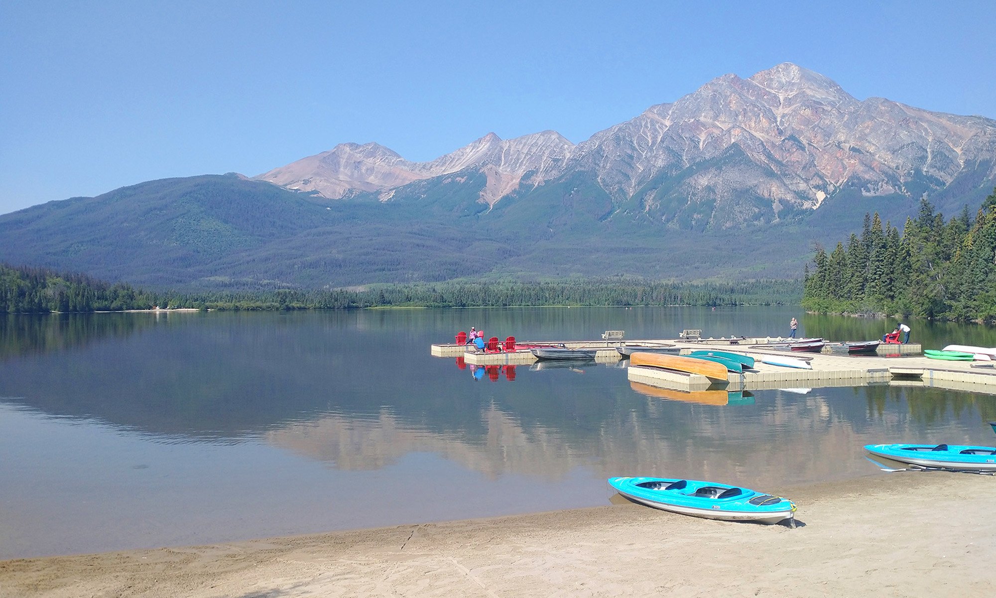
First stop: Pyramid Lake, which I had missed the day before, thinking it would be a way longer climb then it was...
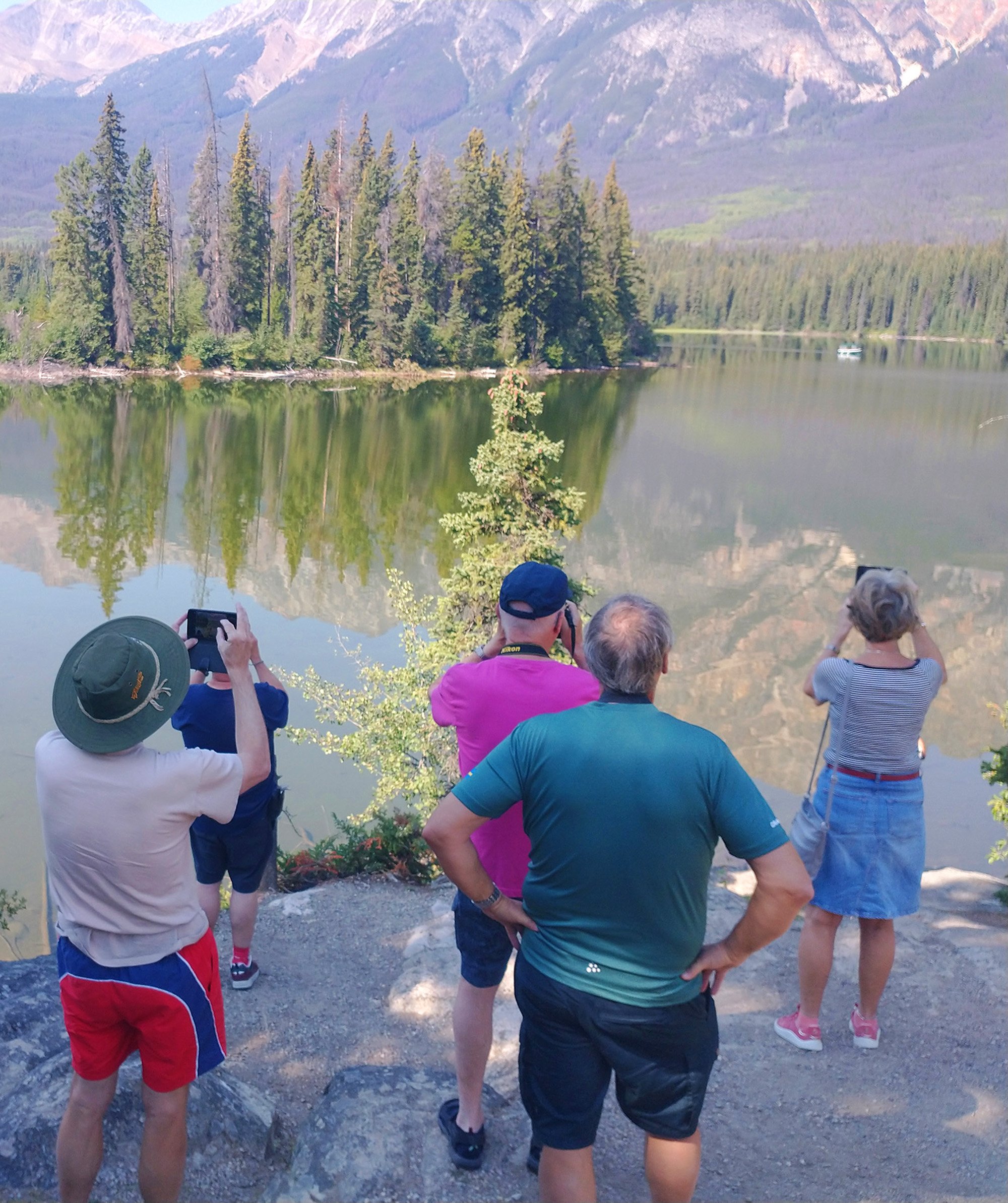
The many boomer/asian tourists of Jasper in their natural habitat.
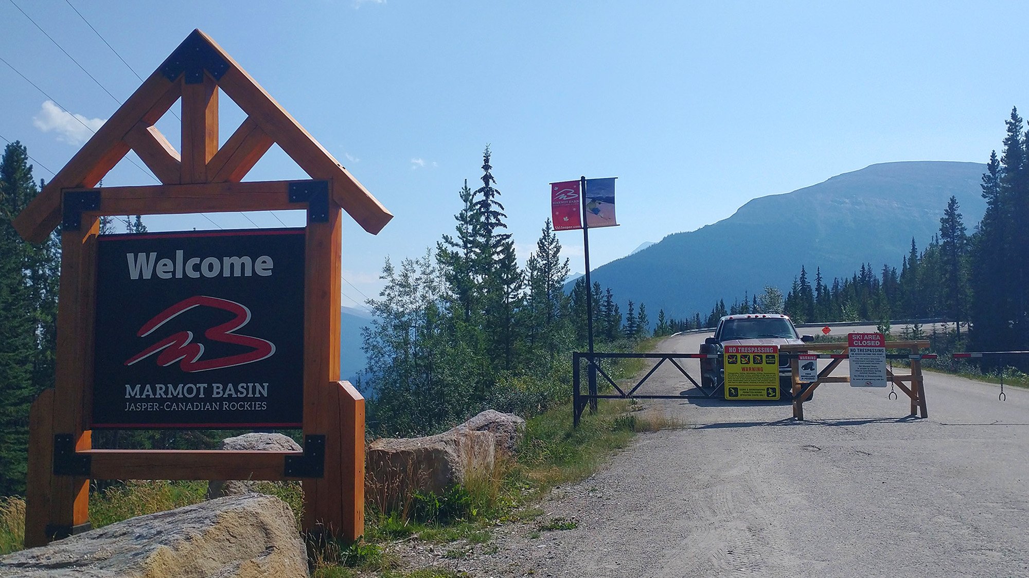
Next up: 600m climb up to Marmot Basin. Will never know what was there since the gate was closed and some ranger in a pickup was watching. Whew sure saved my life bro.
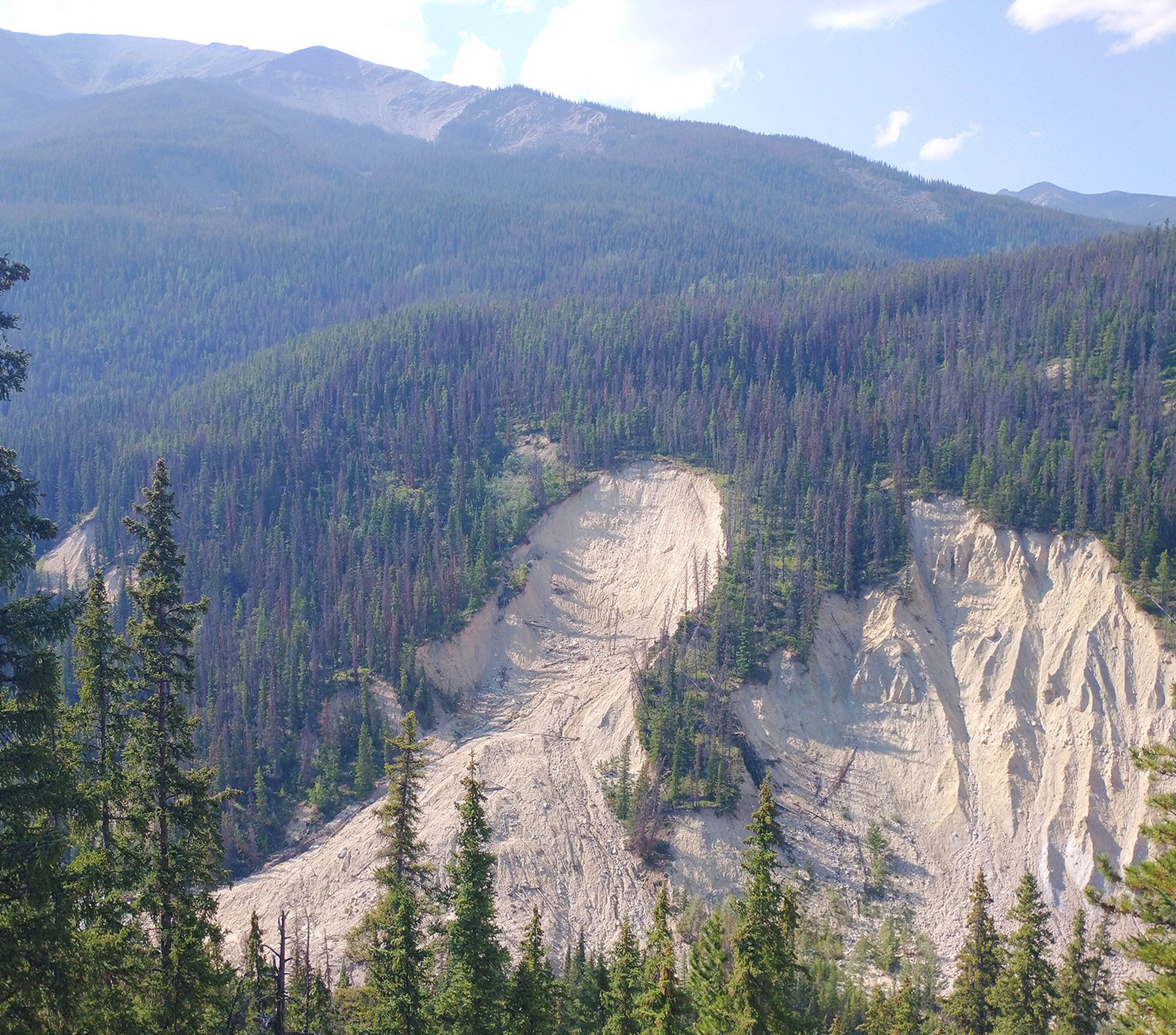
Right next to the Basin climb is the easy side of Mount Edit Cavell. This is about halfway up.
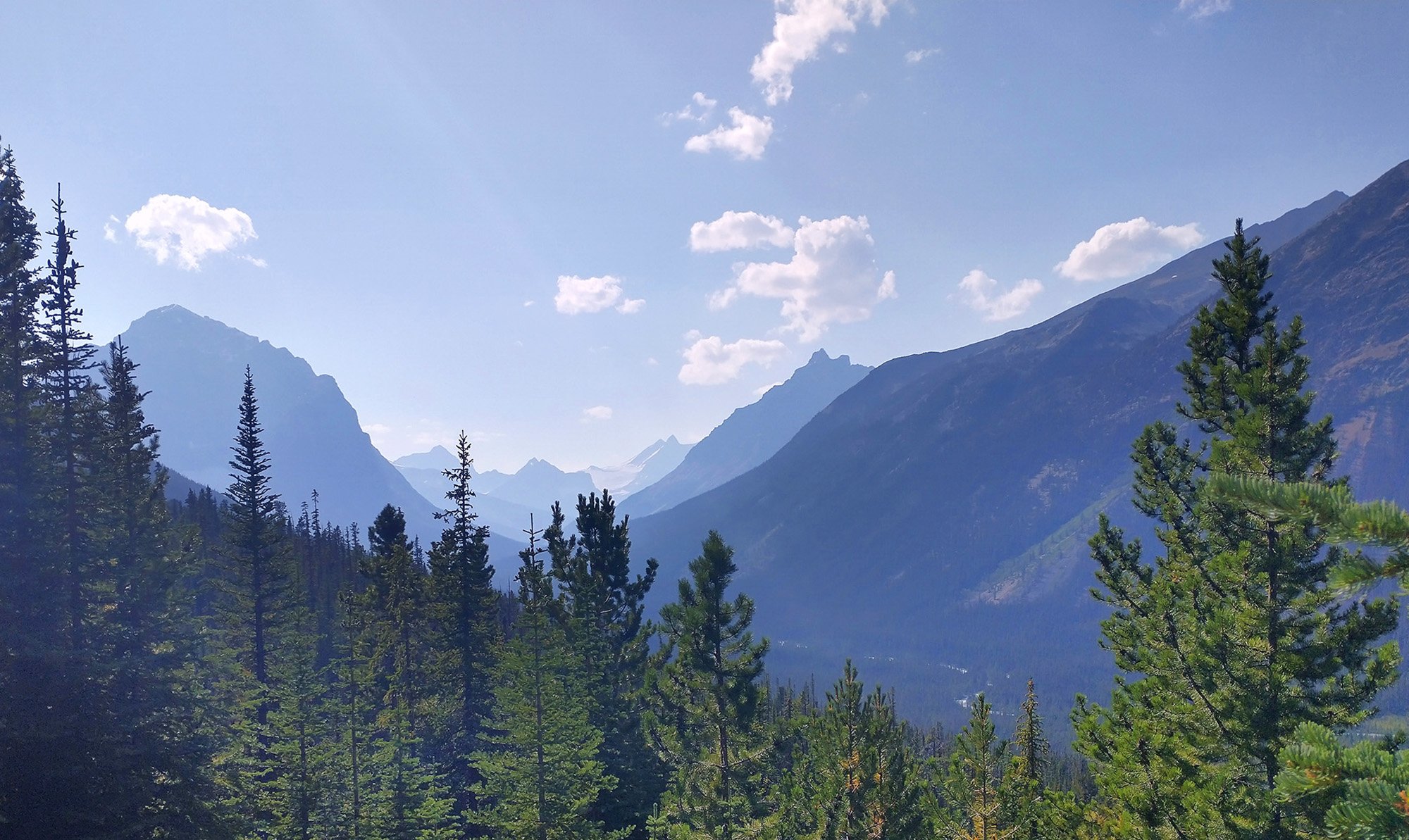
So many views of mountains in the distance in all direction.
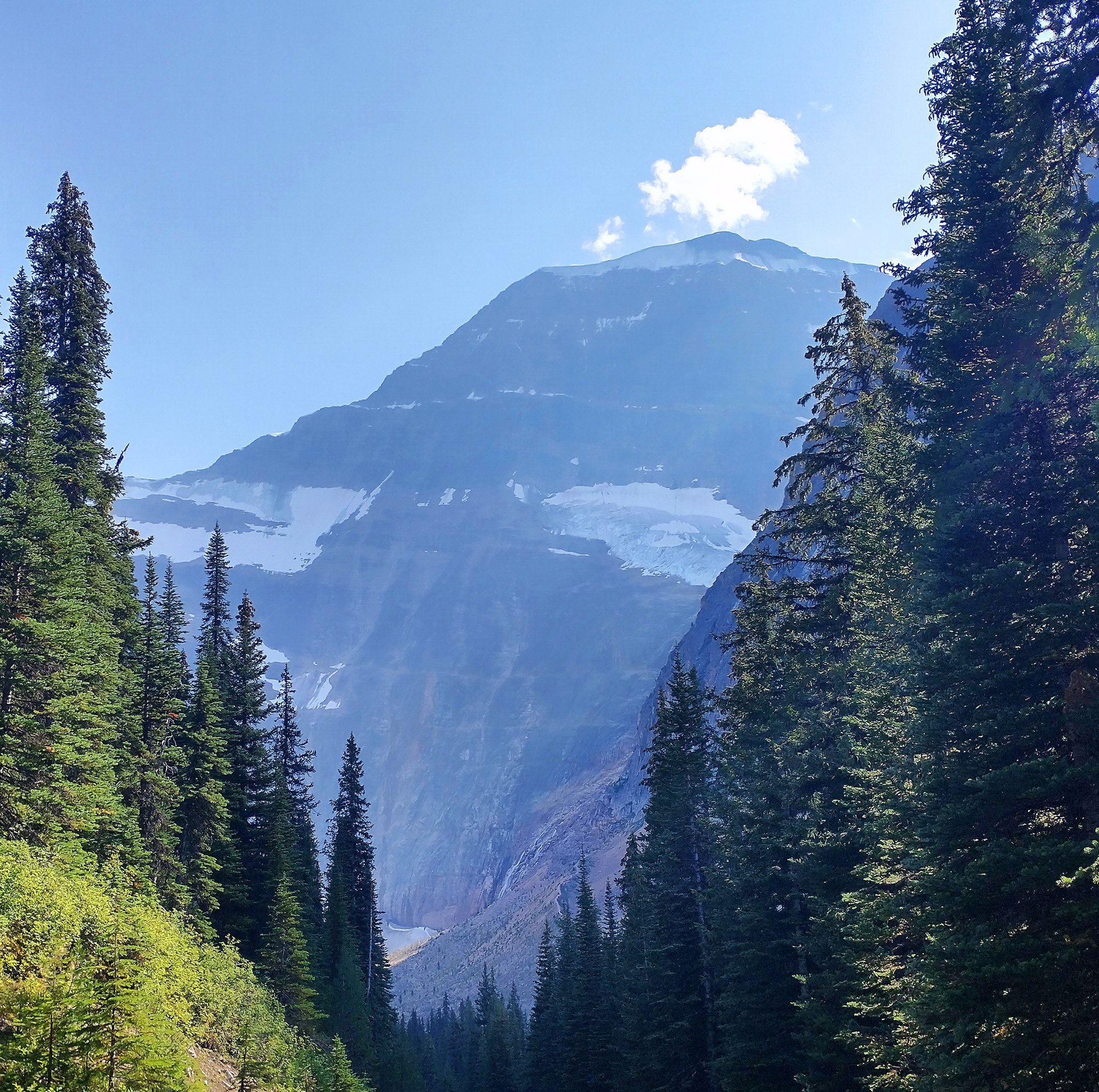
The climb doesn't go all the way to the top, it's just 650m and stops at a parking lot.
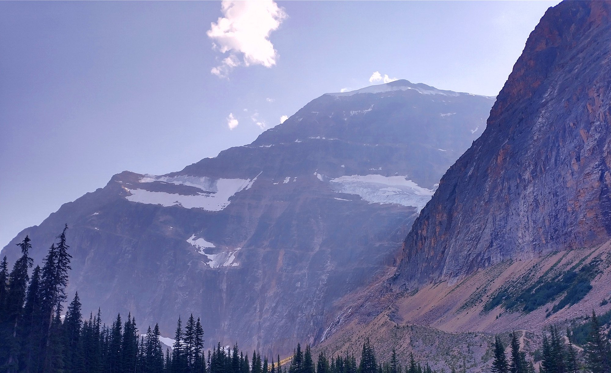
This is mount Edit Cavell's summit, about 250m up from Cavell Lake, the final destination of this climb.
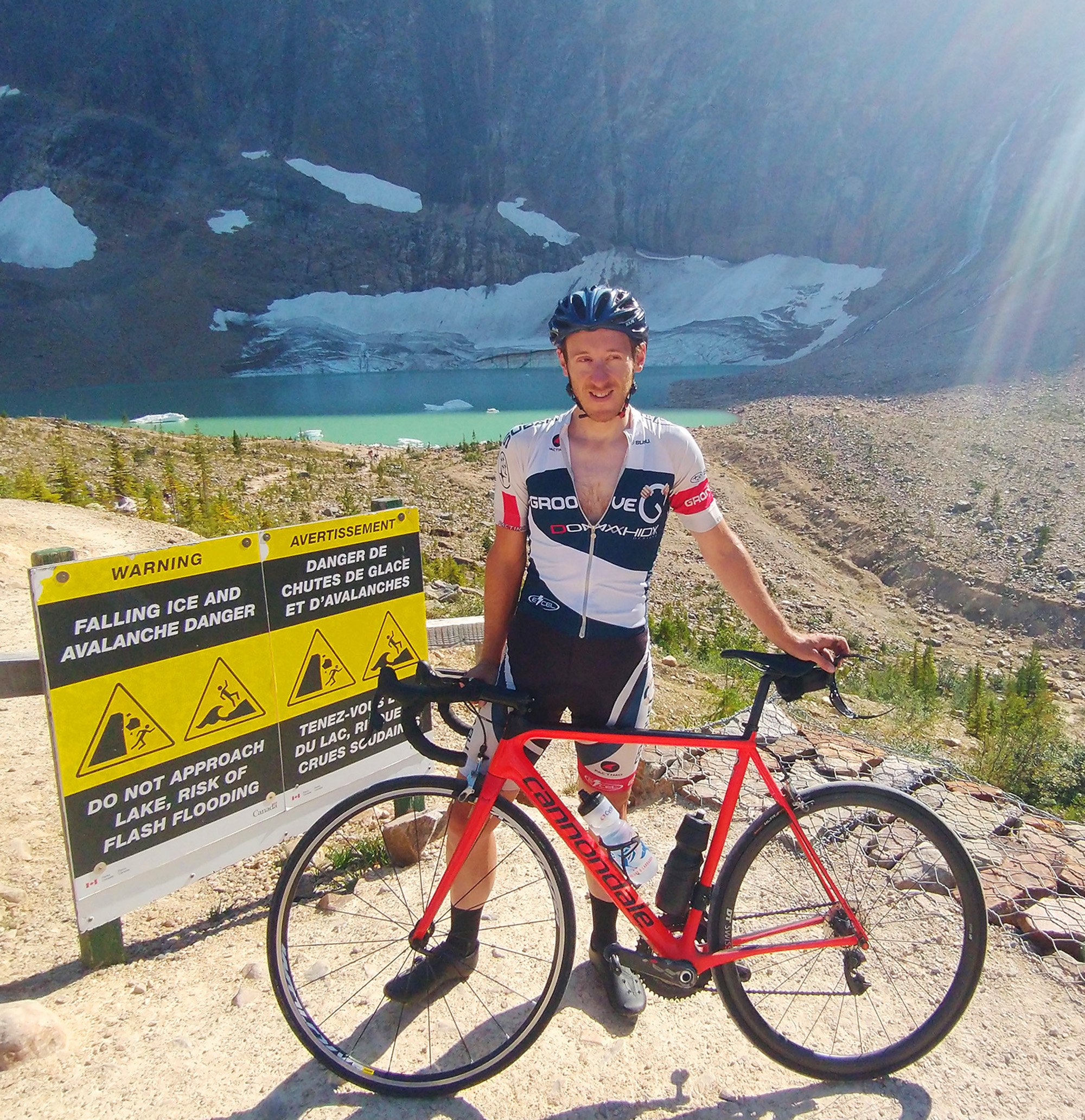
After a steep half dirt climb you reach this little green lake with permanent ice floating in it.
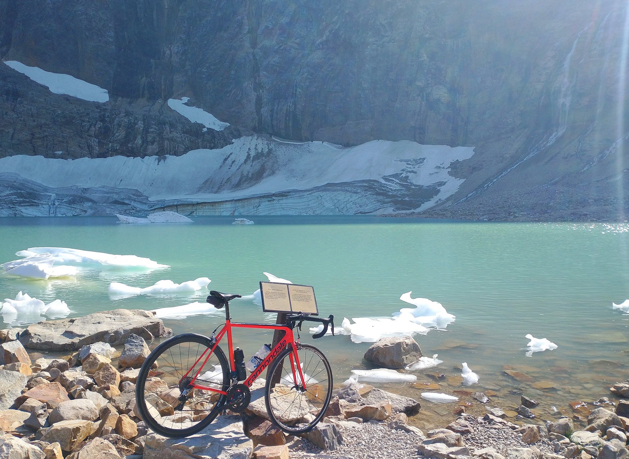
It's a pretty unique place that you can reach mostly driving. Boomer accessible.
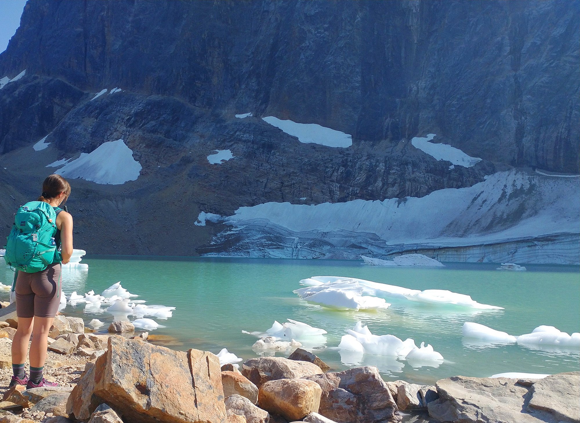
Very touristy of course. Pretty sure it's a hot spot for dating profile pictures and Instagram "influencers".
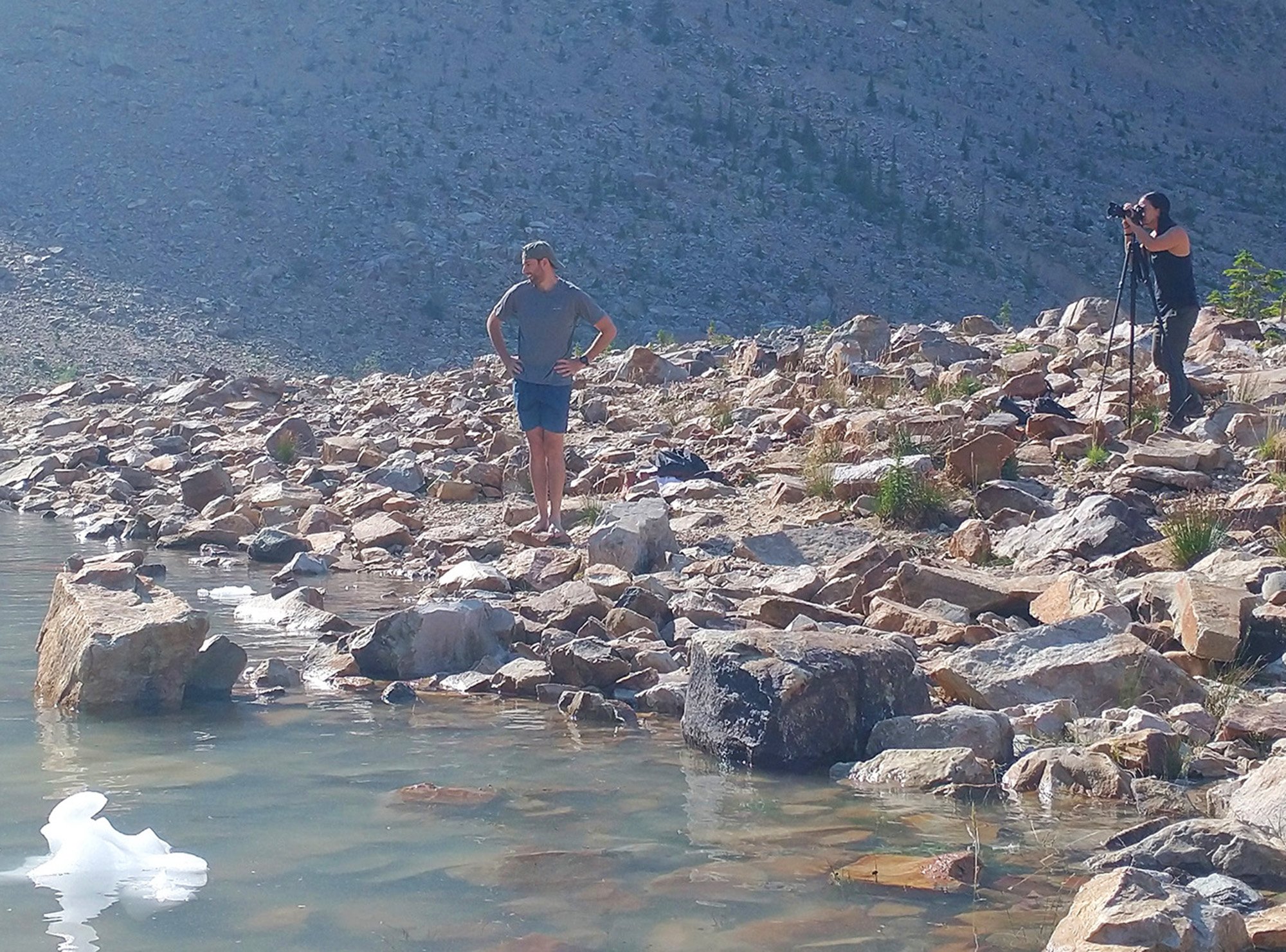
Look at this guy. Pfff.
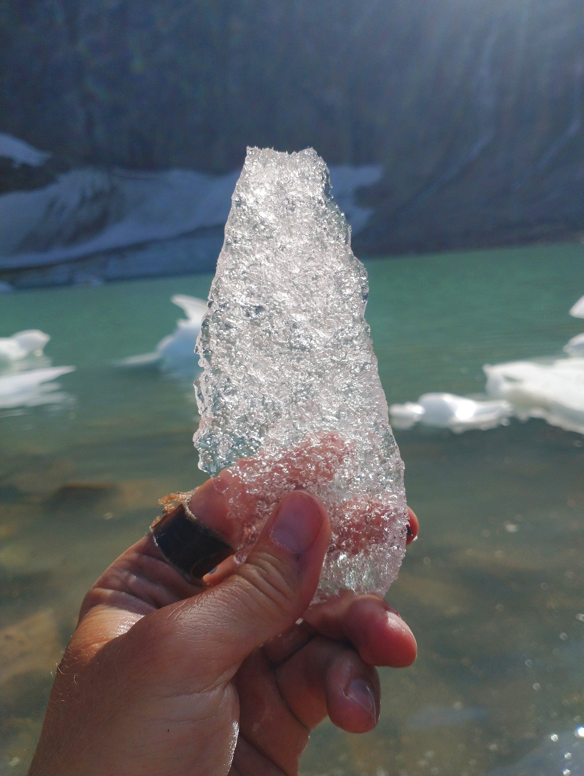
Put this shard of ice in my pocket to bring back home as a souvenir.
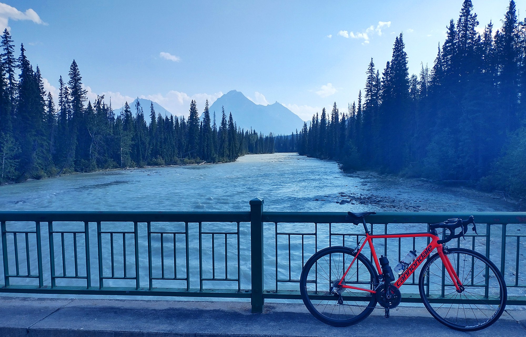
Then you go back down about 750m on the "hard" side of the climb and bike 30km to Athabasca Falls.
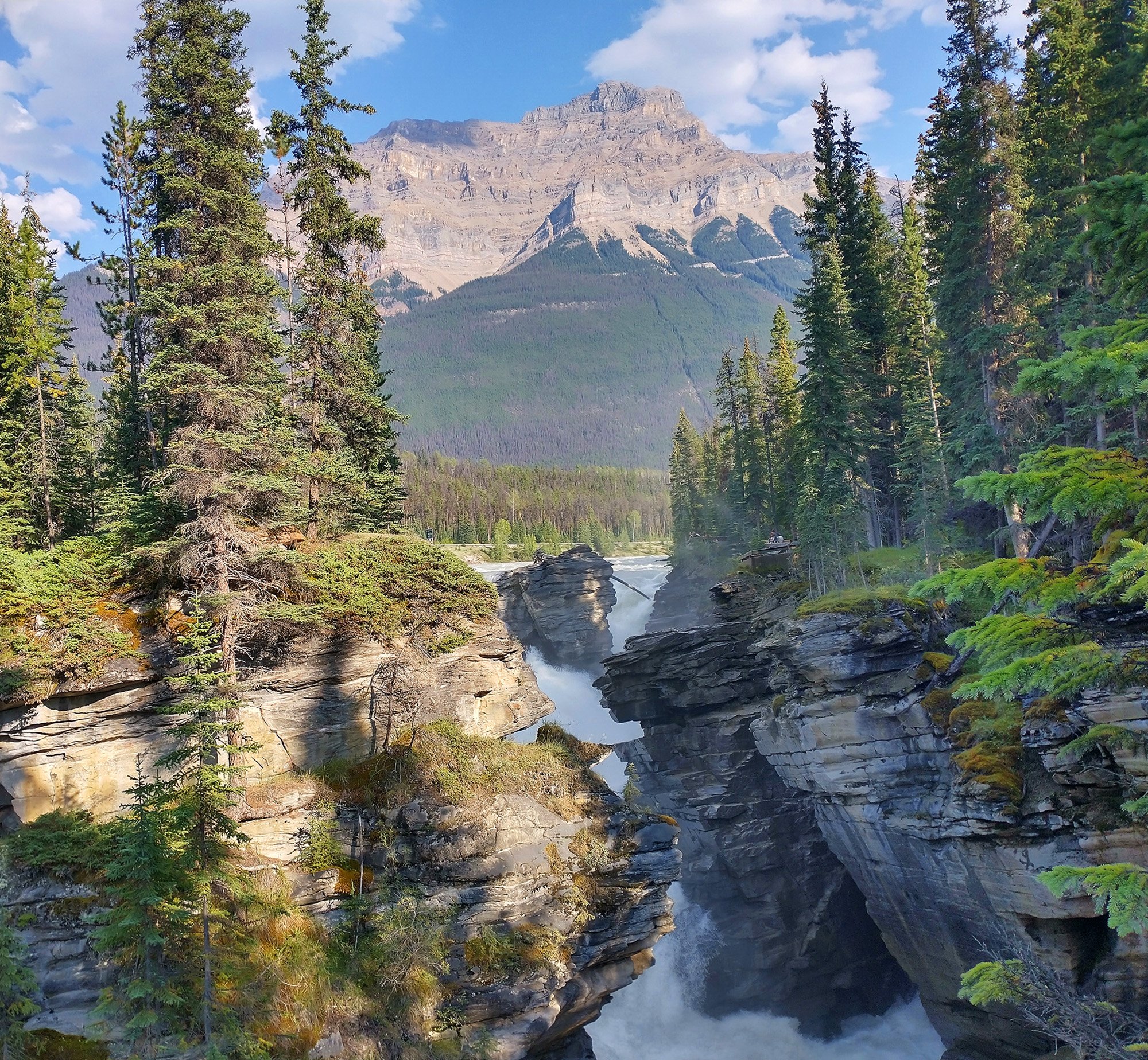
Again just a stupidly epic area.
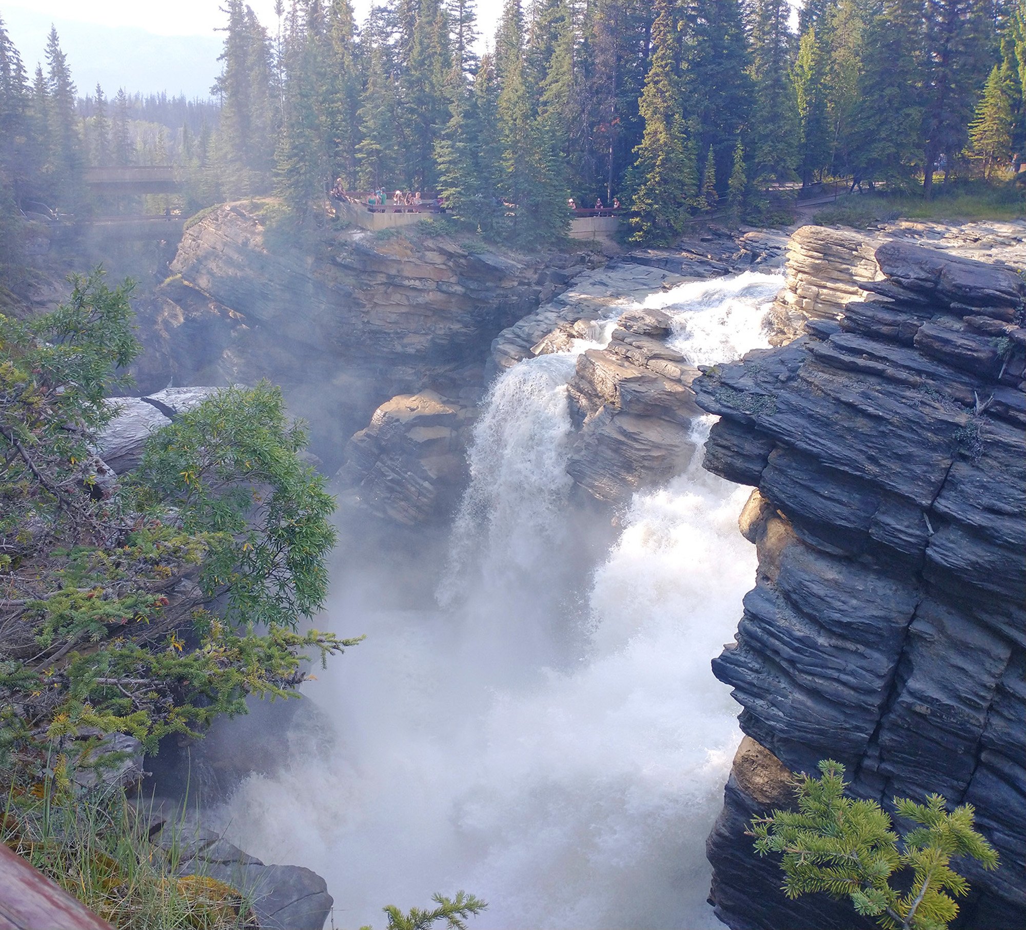
There's a little network of paths that bring you all around the canyon.
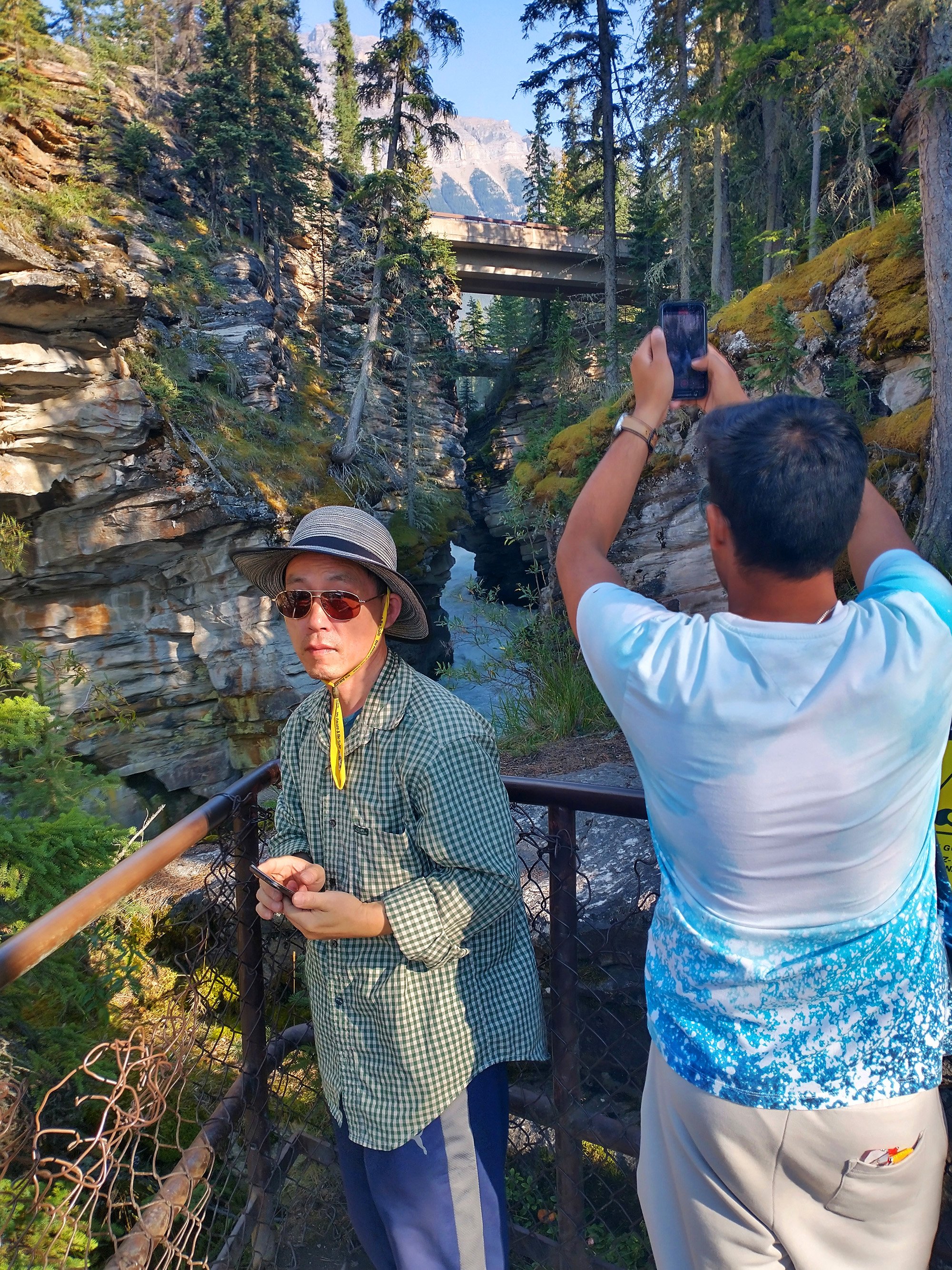
It was quite crowded of course.
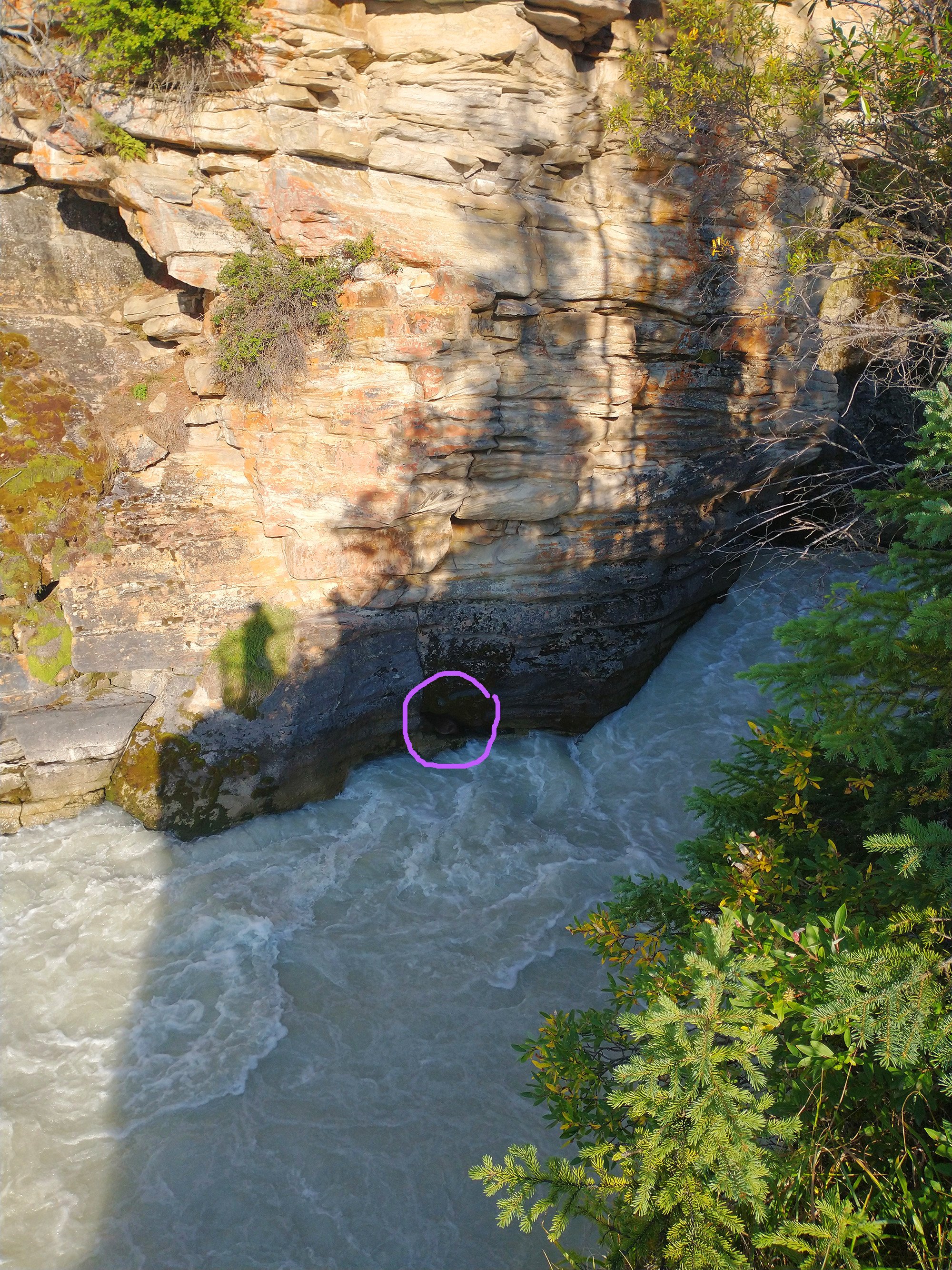
Saw my first beaver of the entire trip just cowering in a canyon hole. What are you doing there little buddy?
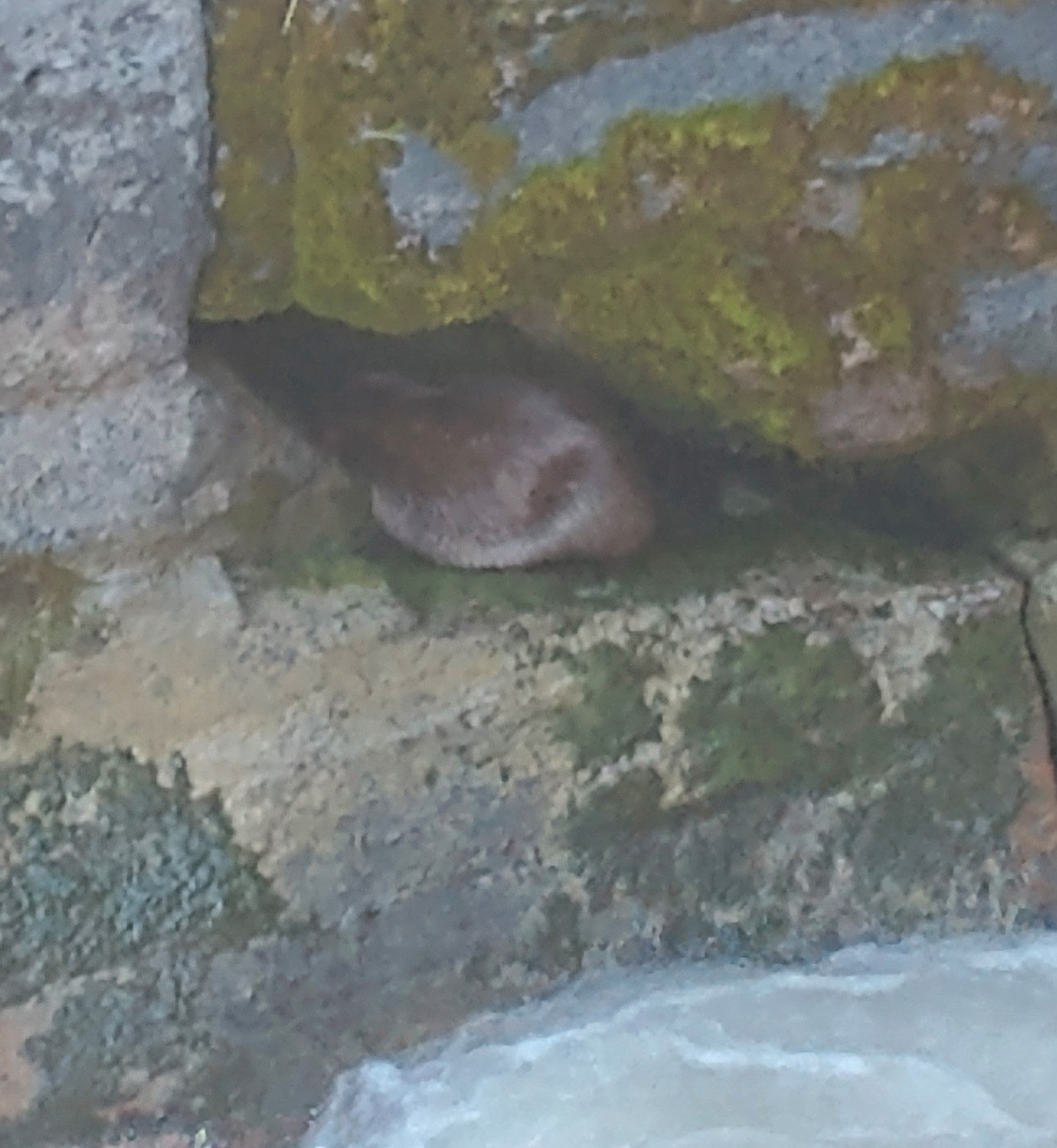
Well at least wolves won't get him there that's for sure.
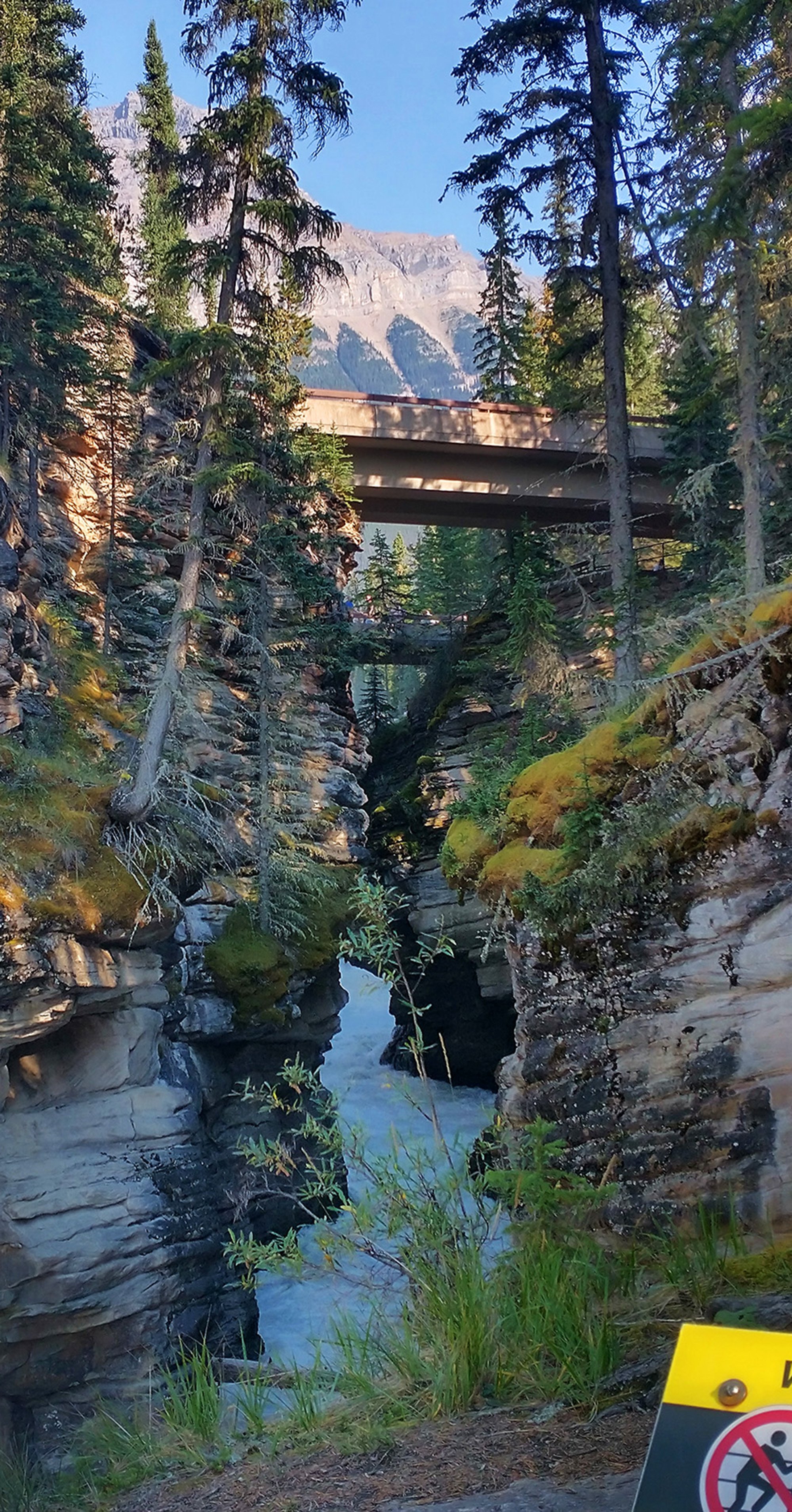
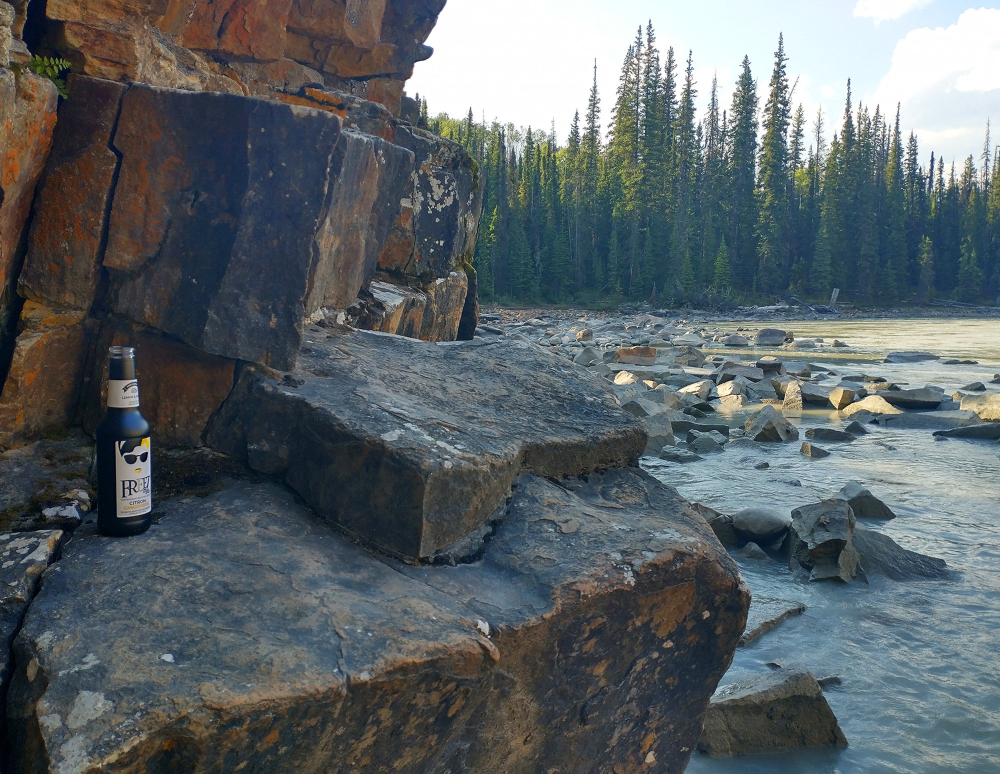
Found a secret piece of trash a bit off the path. Rewarding experience.
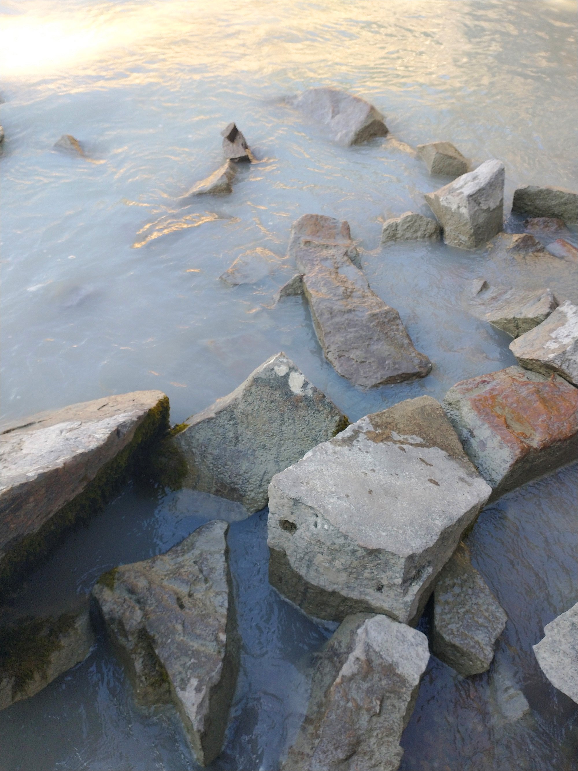
Here you can see how cloudy/grey the Athabasca river water is. I assume this is what gives all the lakes their greenish tint.
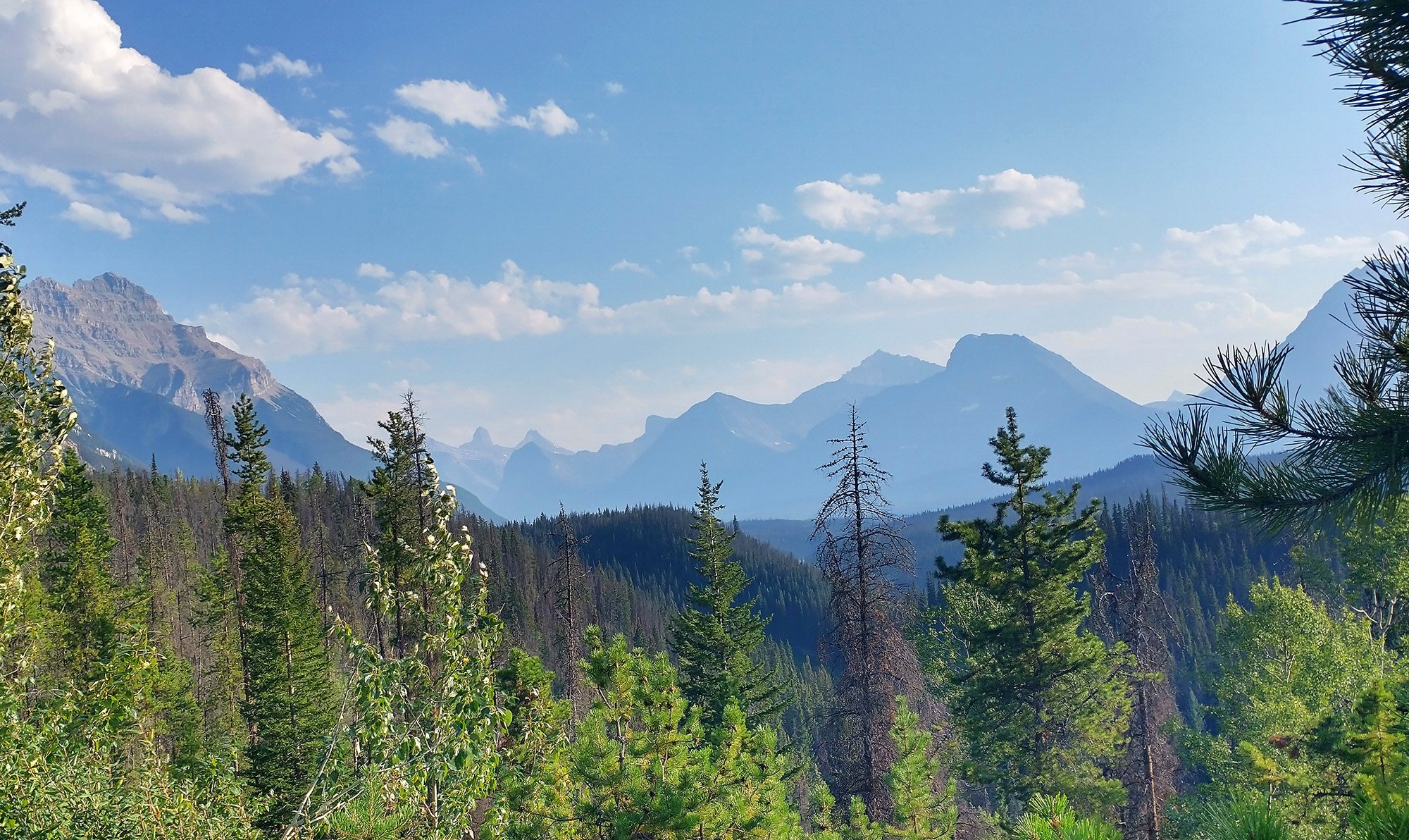
Then just a nice fast tailwind 40km back to the campground, with more epic scenery.
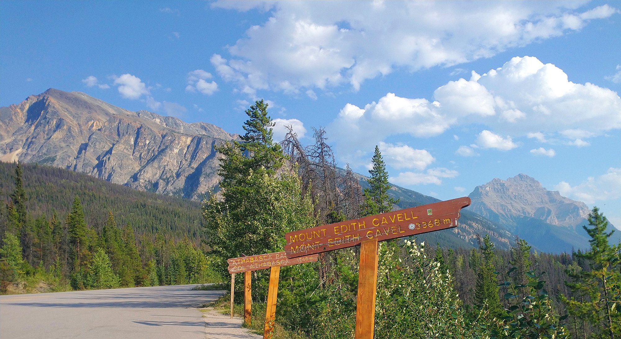
It can be hard to tell what the hell these point to, but I appreciate the effort. What a great day, and once again campfire that night! Will have fond memories of Jasper.
Had only planned to do the Peyto lake road but stopped along the way to bike in some more epic scenery. Glad I stopped at the Glaciers as well.
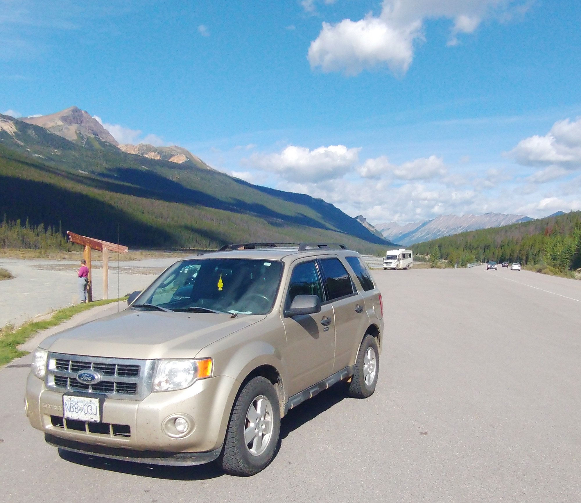
The drive to Glaciers. I think I can confidently say that Jasper is the most epic area of Canada now.
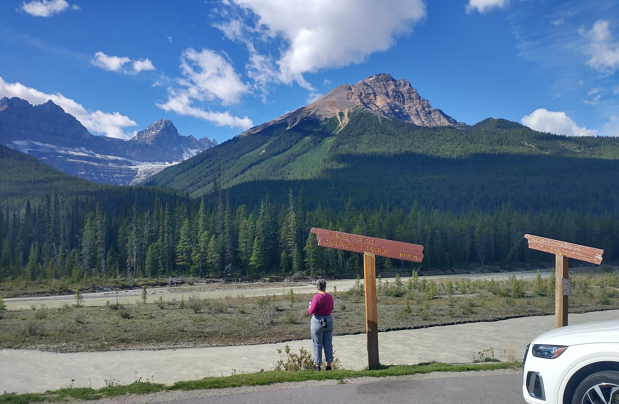
Icefield Parkway road. Pictures speak for themselves.
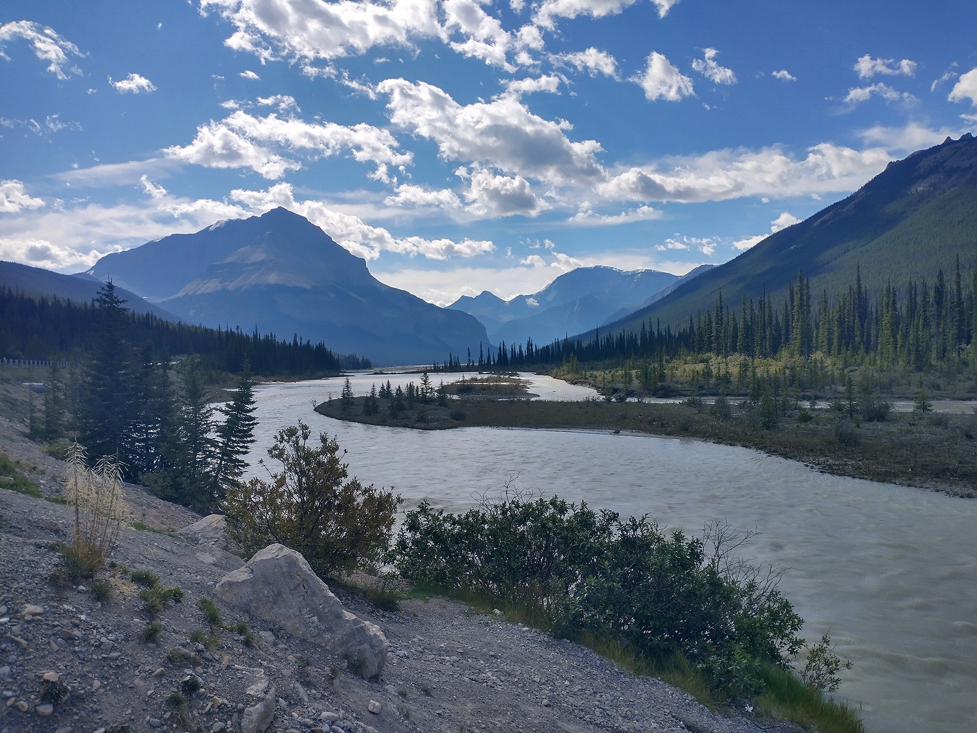
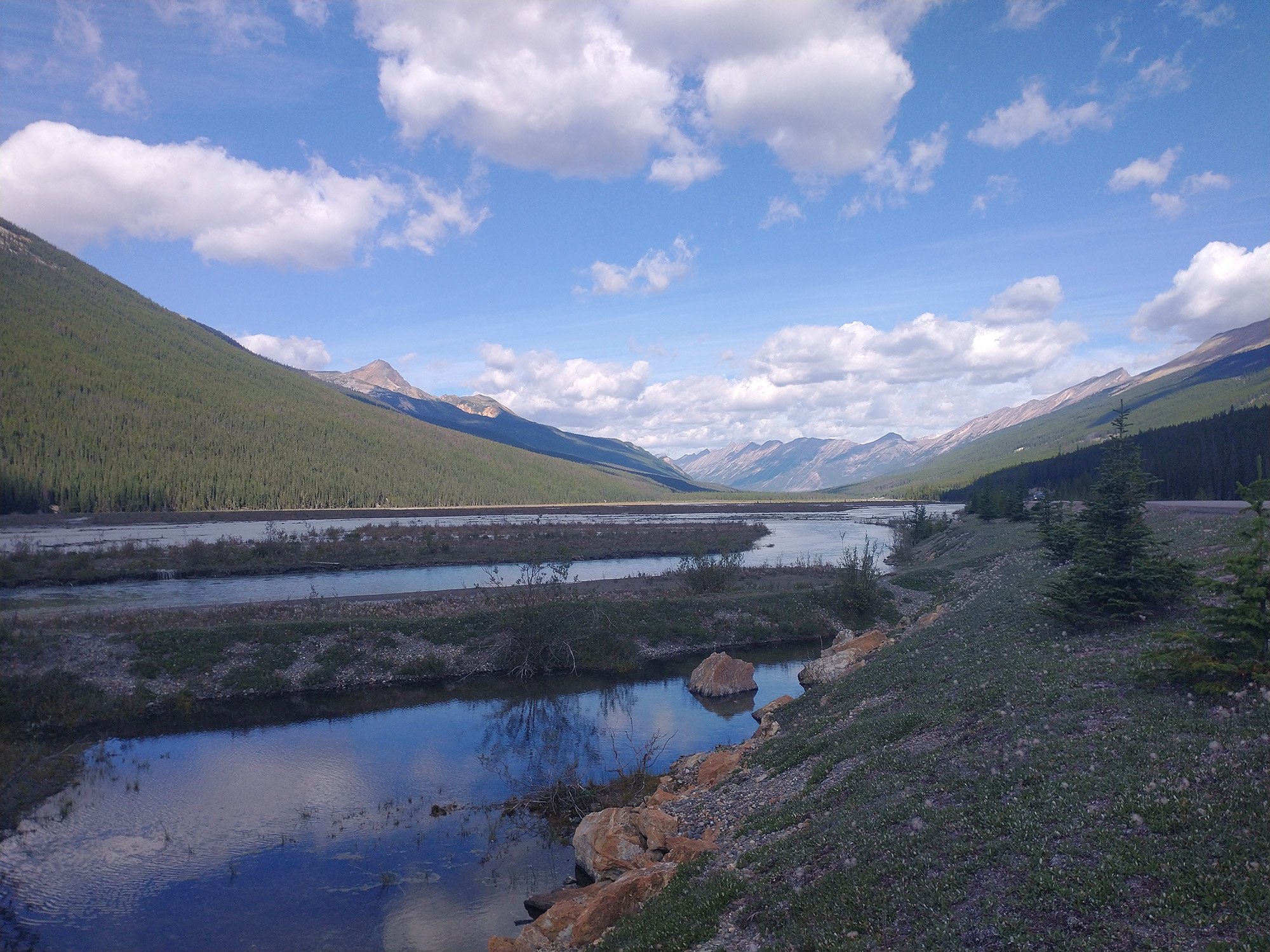
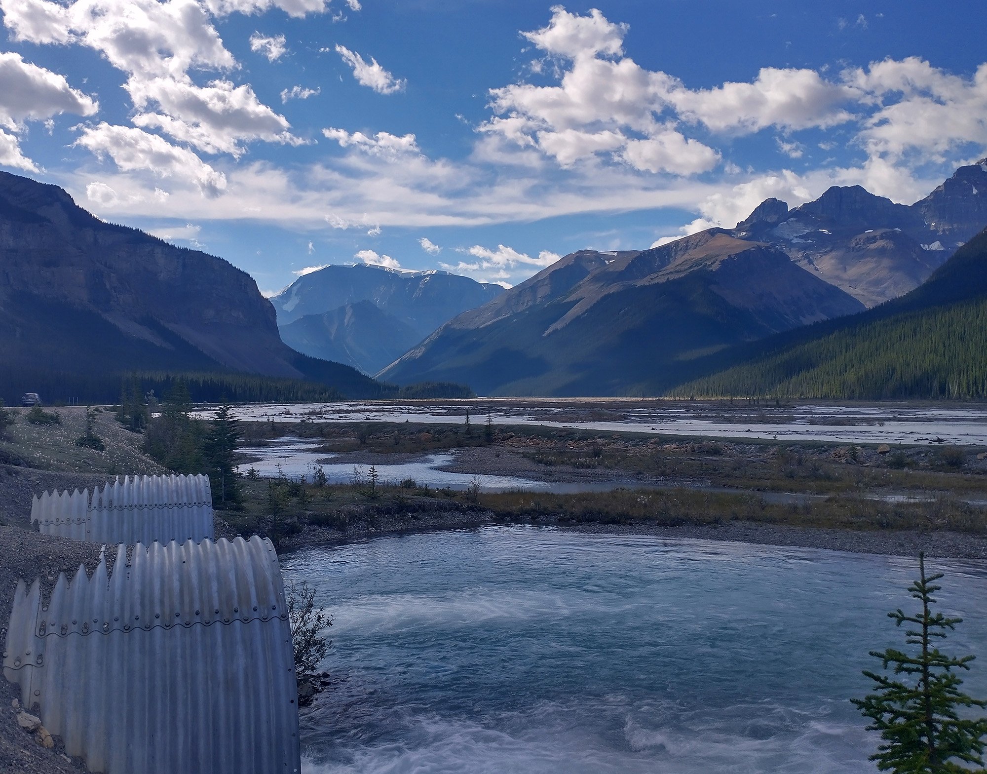
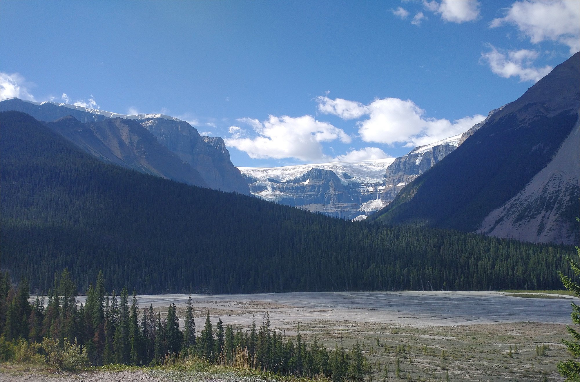
You drive towards the Glacier and every new turn of the road you think that you're finally at the most epic viewpoint of the drive, but it keeps going.
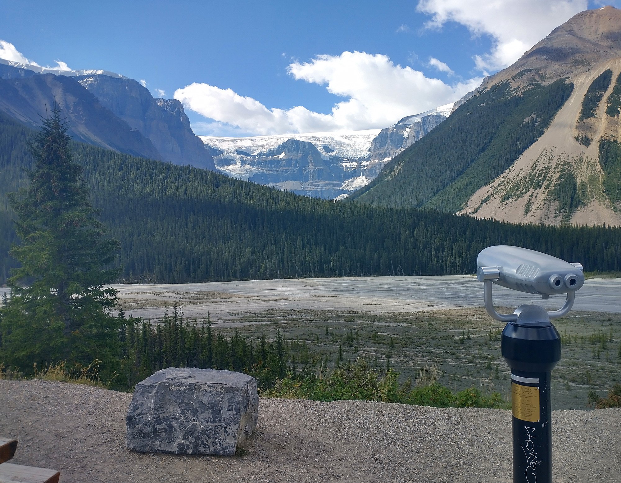
There are of course tons of turnouts and stops for you to take pictures. This one has free binocular thingies!
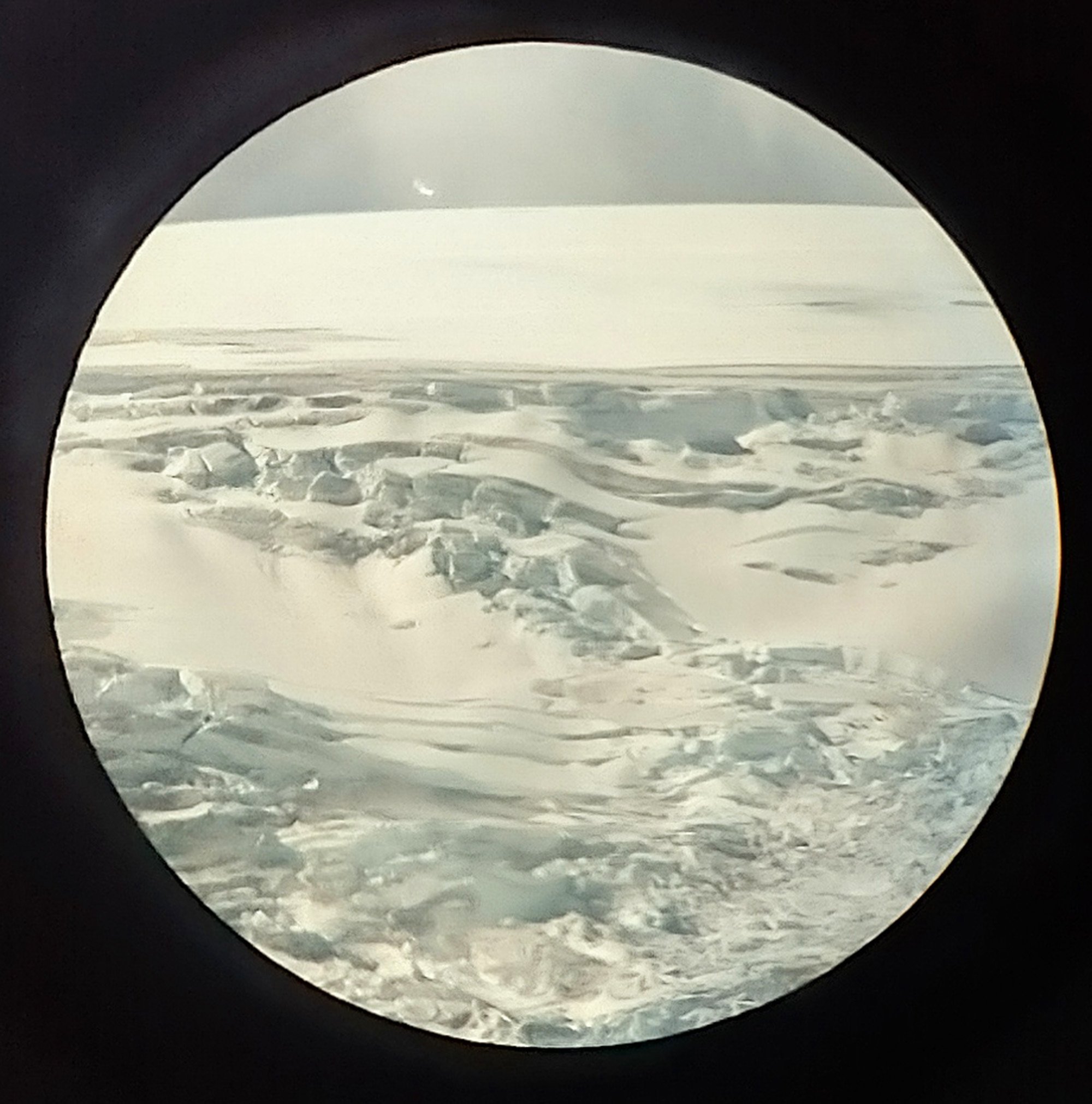
The top of a mountain's icecap. Did not see any skeletons of failed hikes.

Girl making her boyfriend take pictures for her Tinder when she dumps him next week.
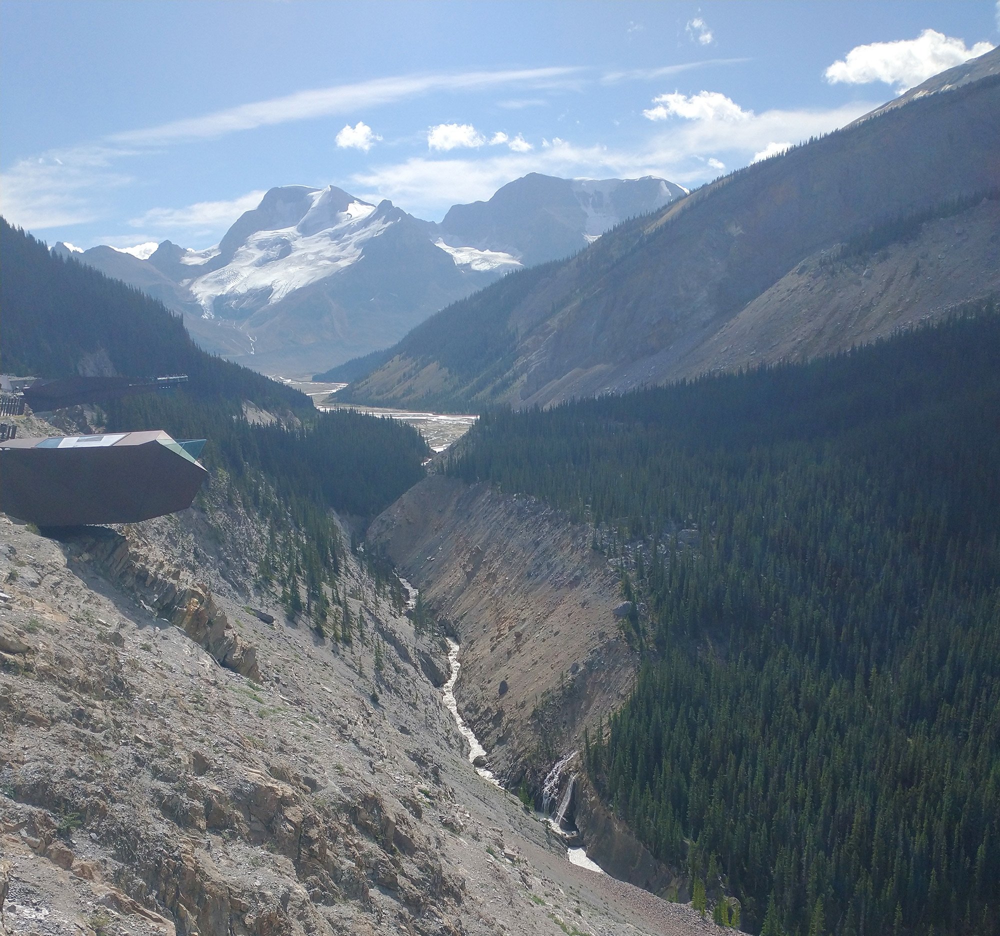
Got out to bike up to the Glaciers viewing platforms. There's no turnoff there, you have to pay and a bus takes people to a private parking lot.
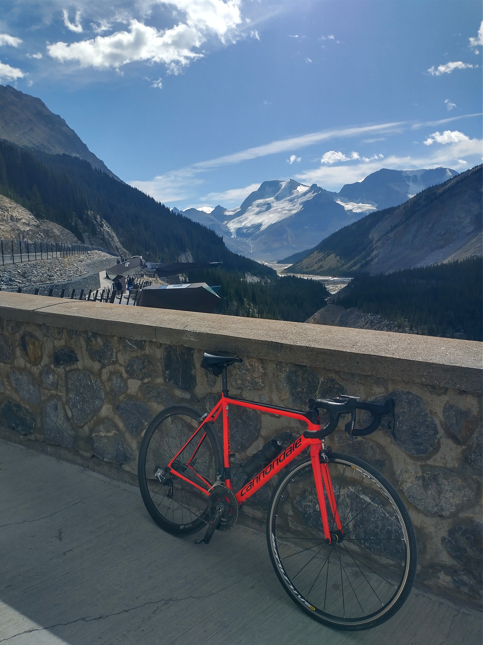
Costs 30-40$ to walk from this spot to the little skywalk area that's like 50 feet away. Pfff. Here you're maybe 250m up from the river.
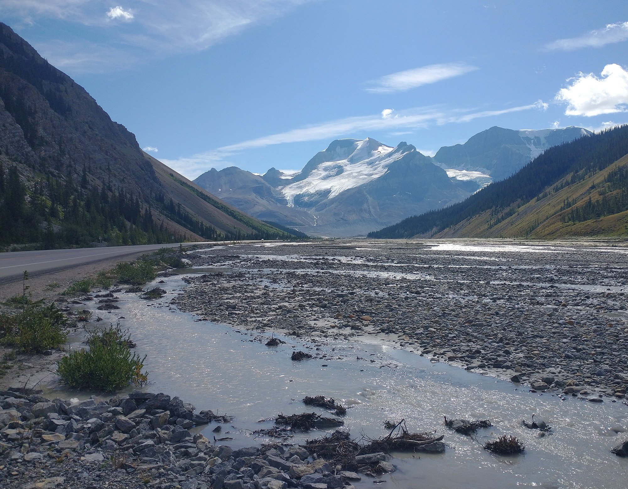
The bottom of the river / valley that leads into the Glaciers.
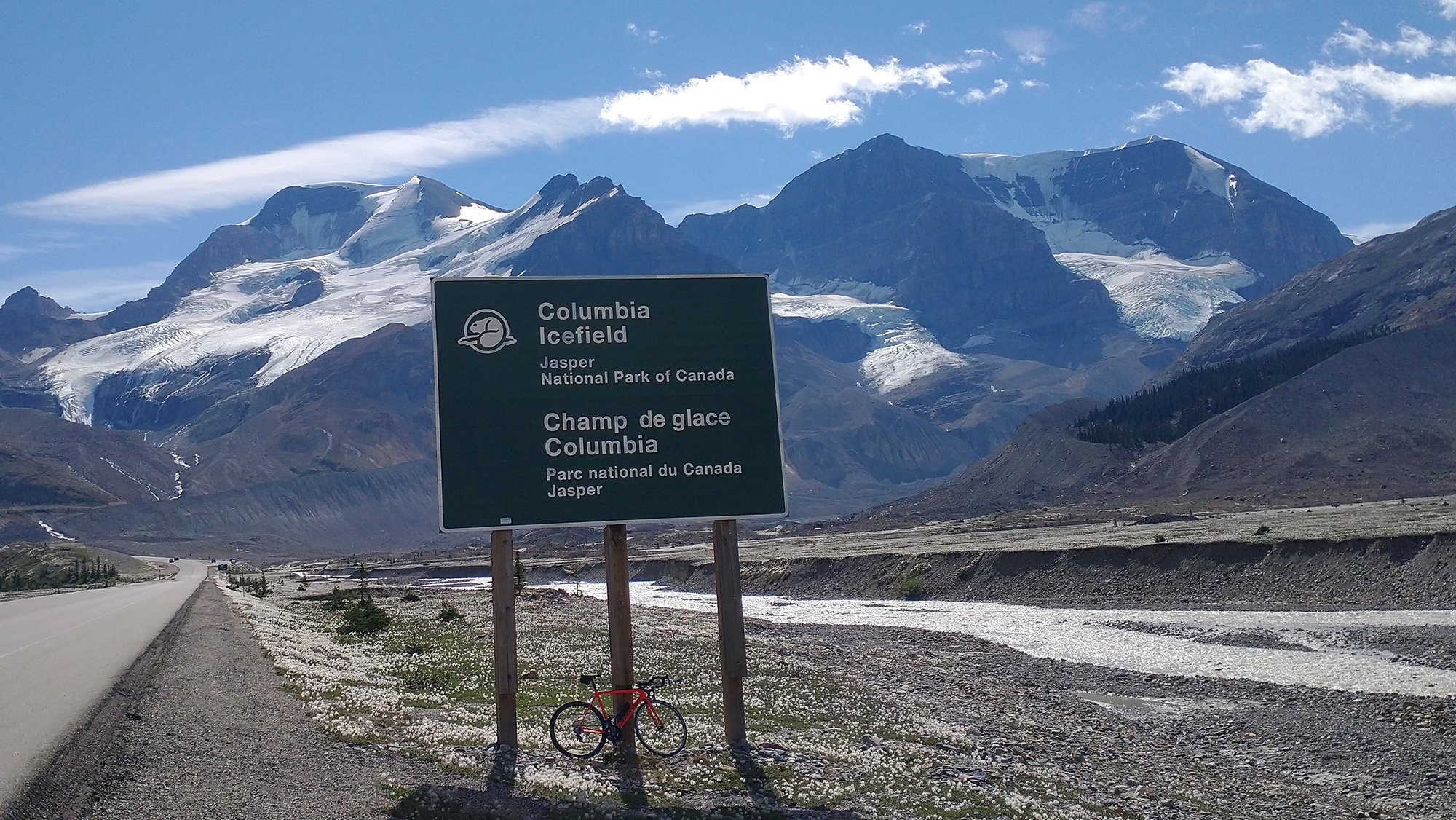
There's a parking lot at the Glaciers and then you must walk a little bit to reach the base. Well, the current base.
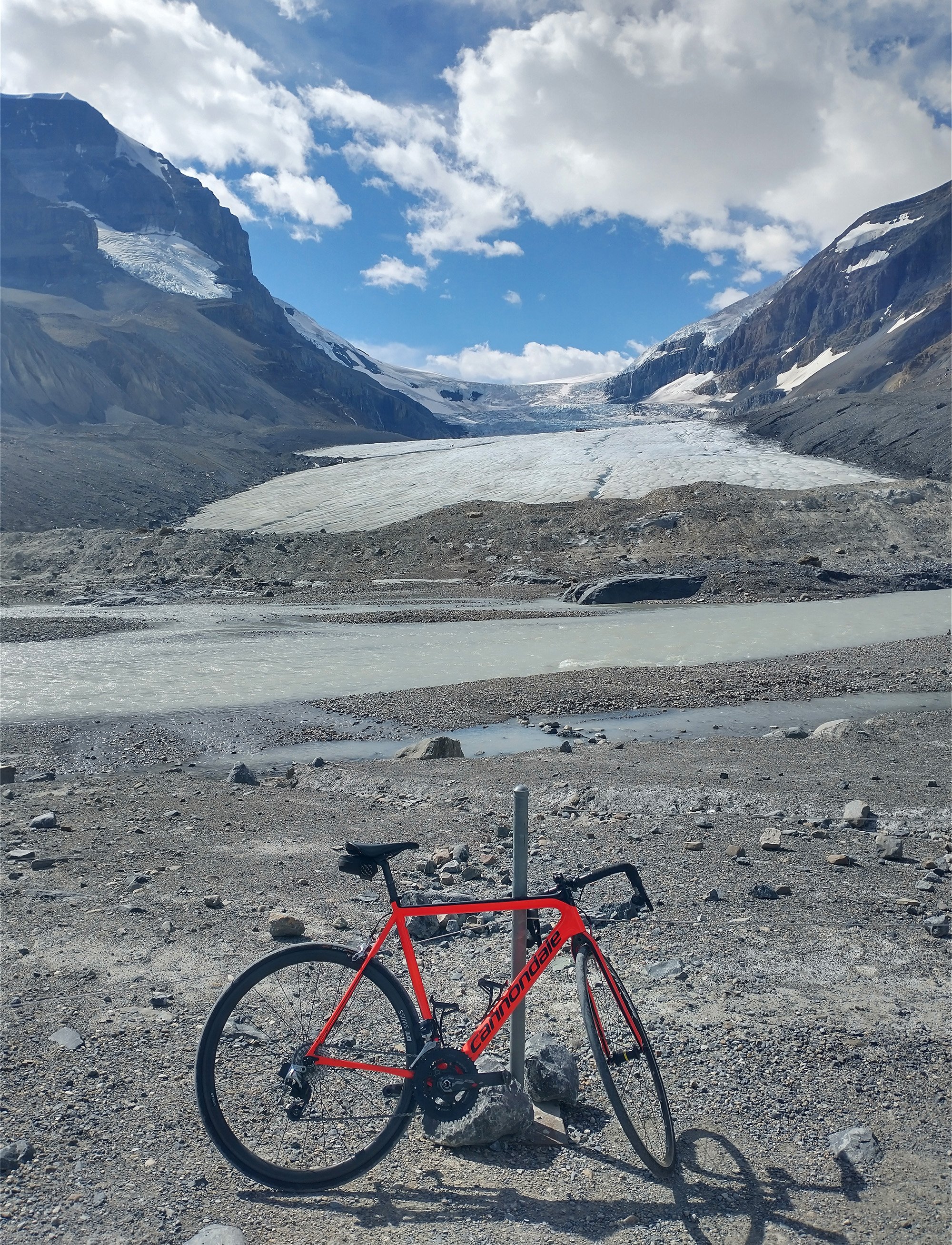
This is what it looks like! You can take a cook all-terrain bus thing that drives you all the way up onto the glacier itself. Imagine the selfies. Imagine.
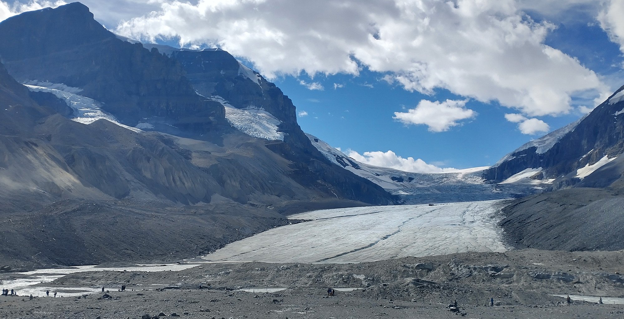
Definitely worth crashing the world economy so it doesn't recede. #stealthpolitics #stopruiningtheplanethippies
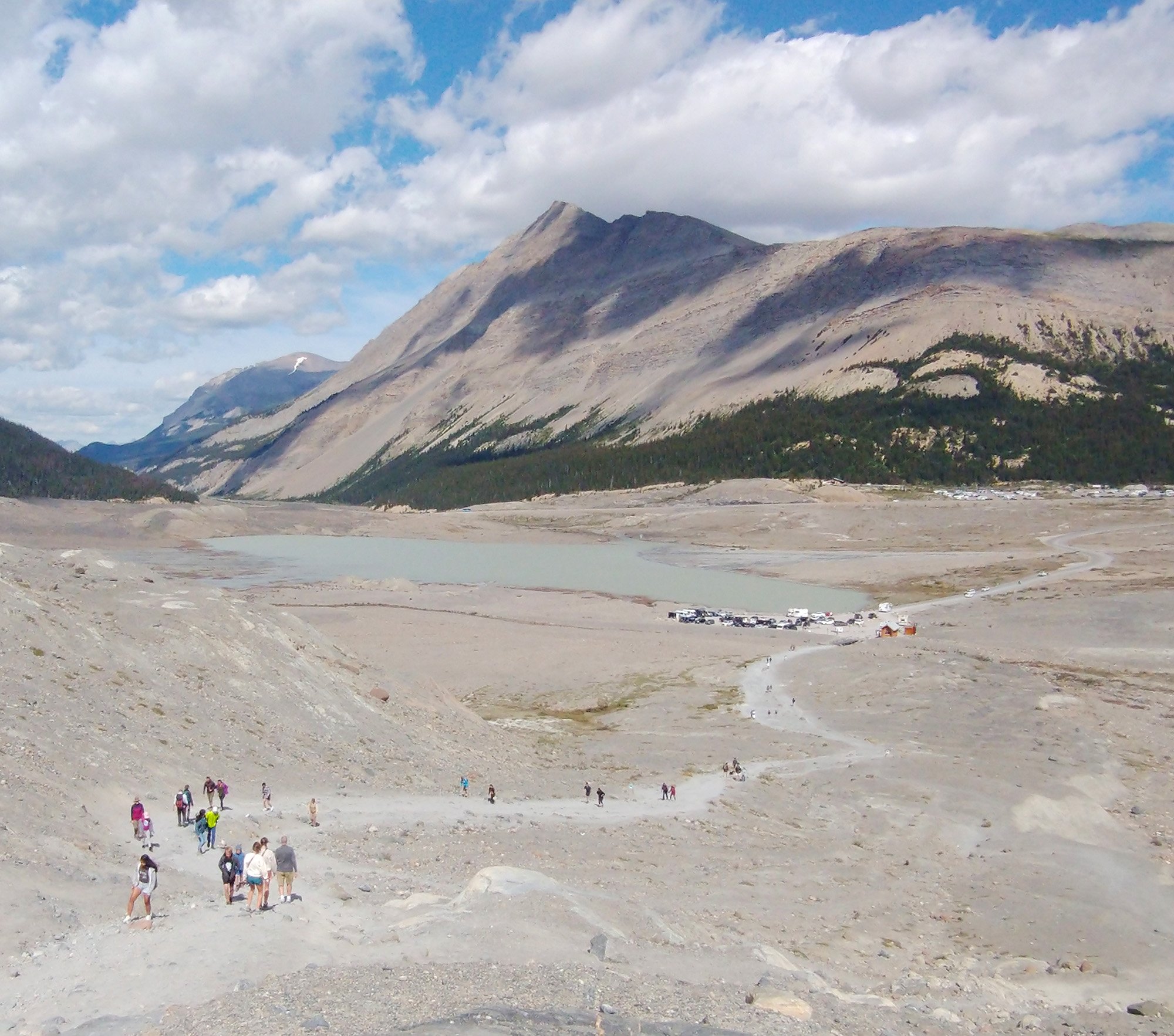
View back from the glacier. There's signs along this route that tell you how far the glacier used to extend. Seems to have receded a good half kilometer at least in 100 years.
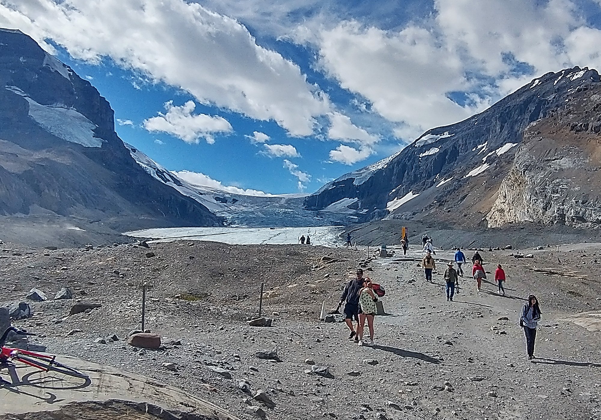
Can you believe all these dumbass tourists still showing up, knowing it used to extend further? Wow. The world would truly be completely different if there was more of this ice here.
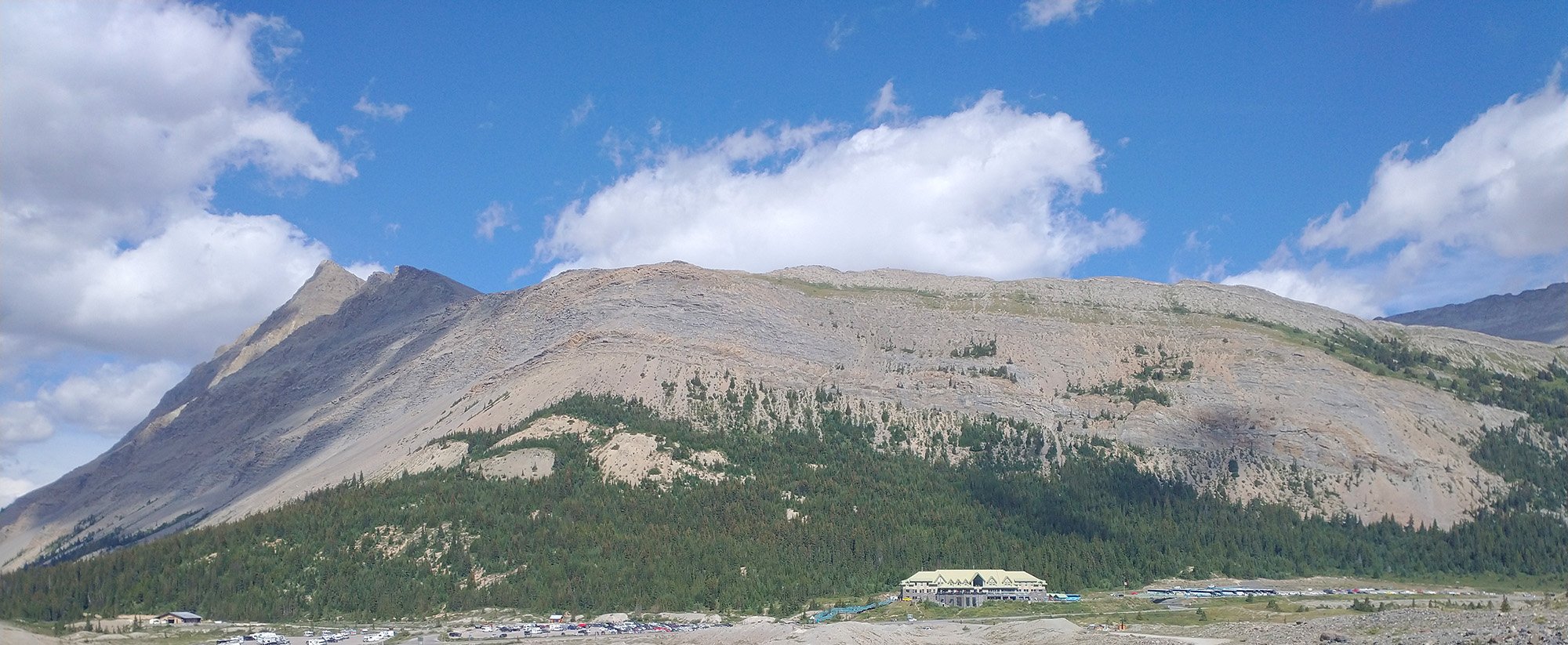
Back on the road, just going up and down, up and down.
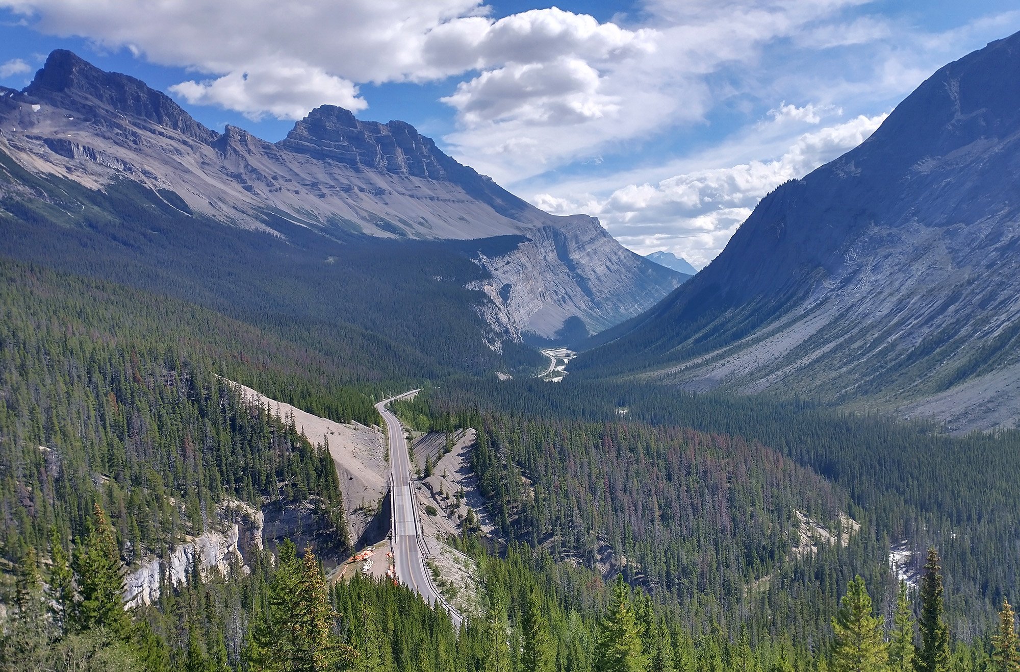
The icefield parkway is at around 1900m elevation. From there you gradually go down to 1400m.
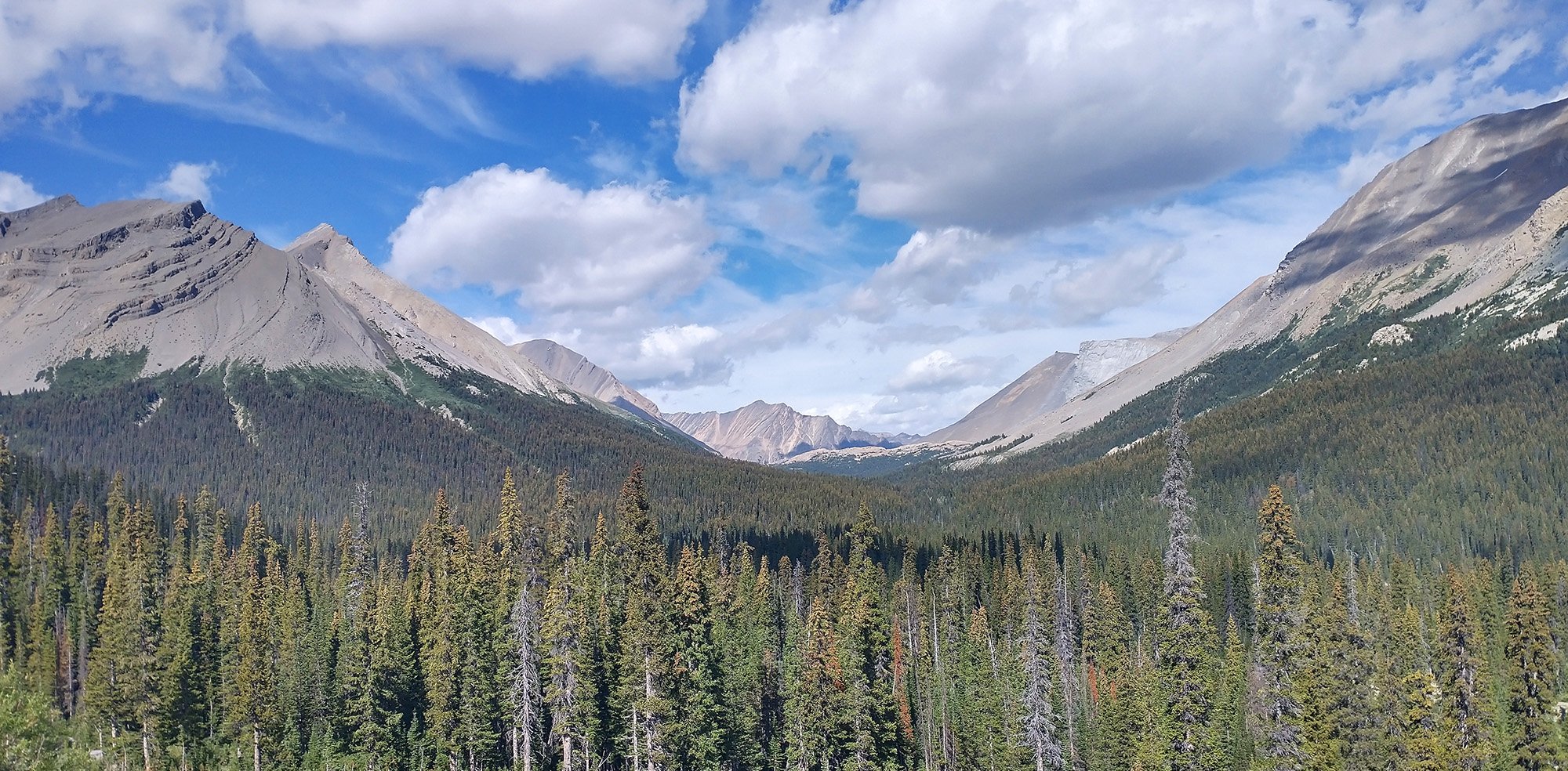
Just crazy
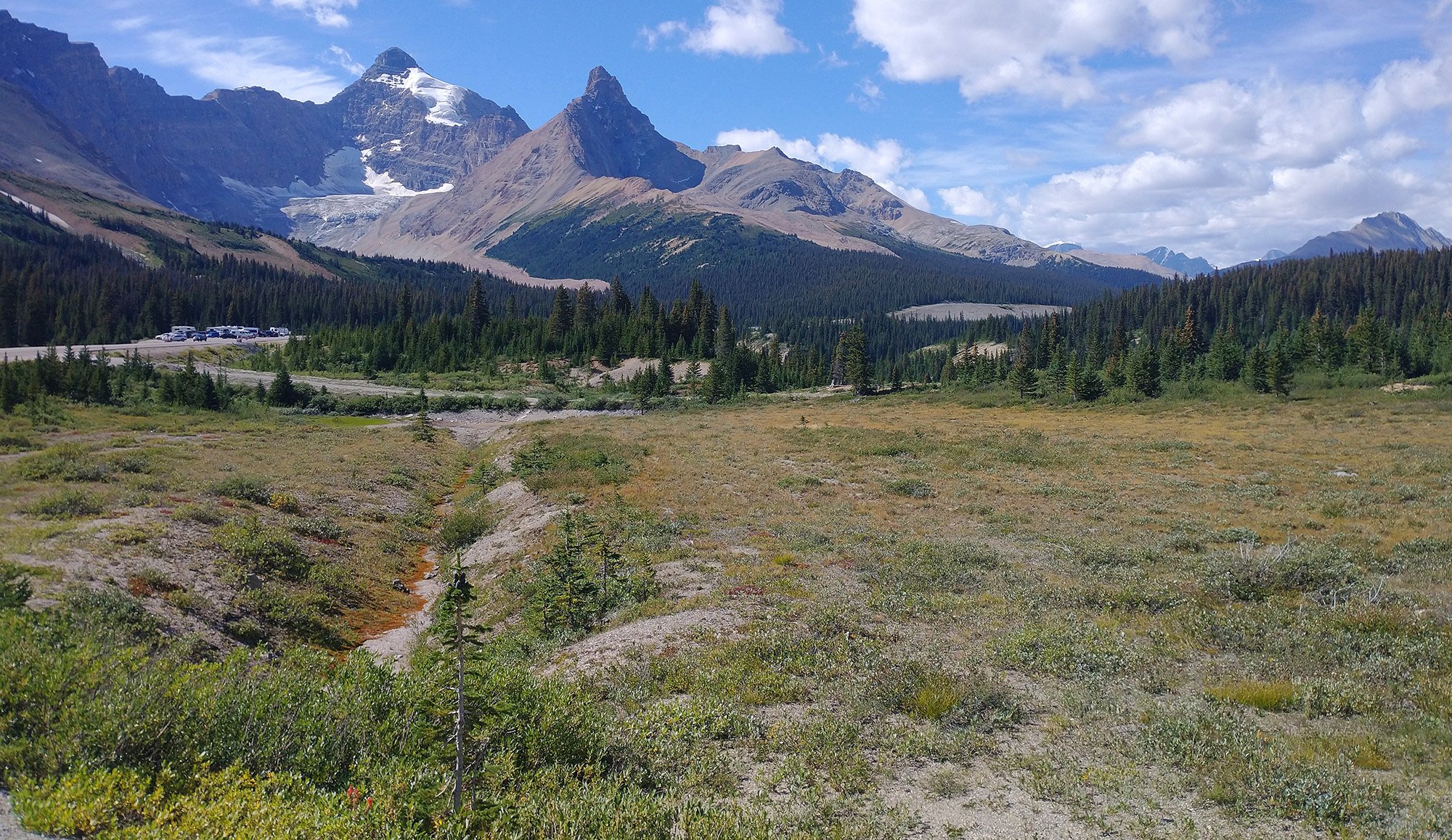
You eventually reach Saskatchewan crossing, which is the one fork in the road. You can keep going to Banff or turn off back to flat Alberta, where I headed for more big statues.
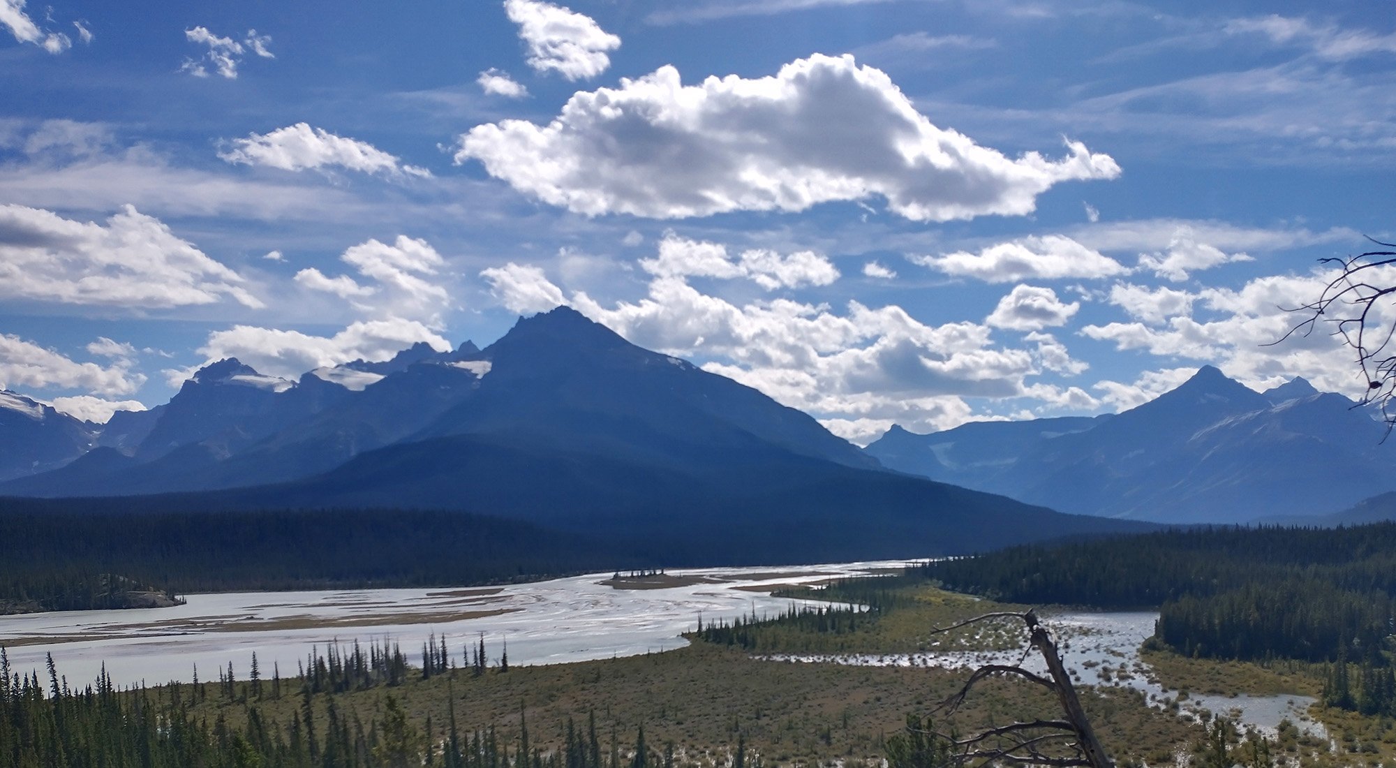
I believe this is the Saskatchewan "river"? Just a huge flood plain that people had used for thousands of years to cross the mountains / hunt/ fish.
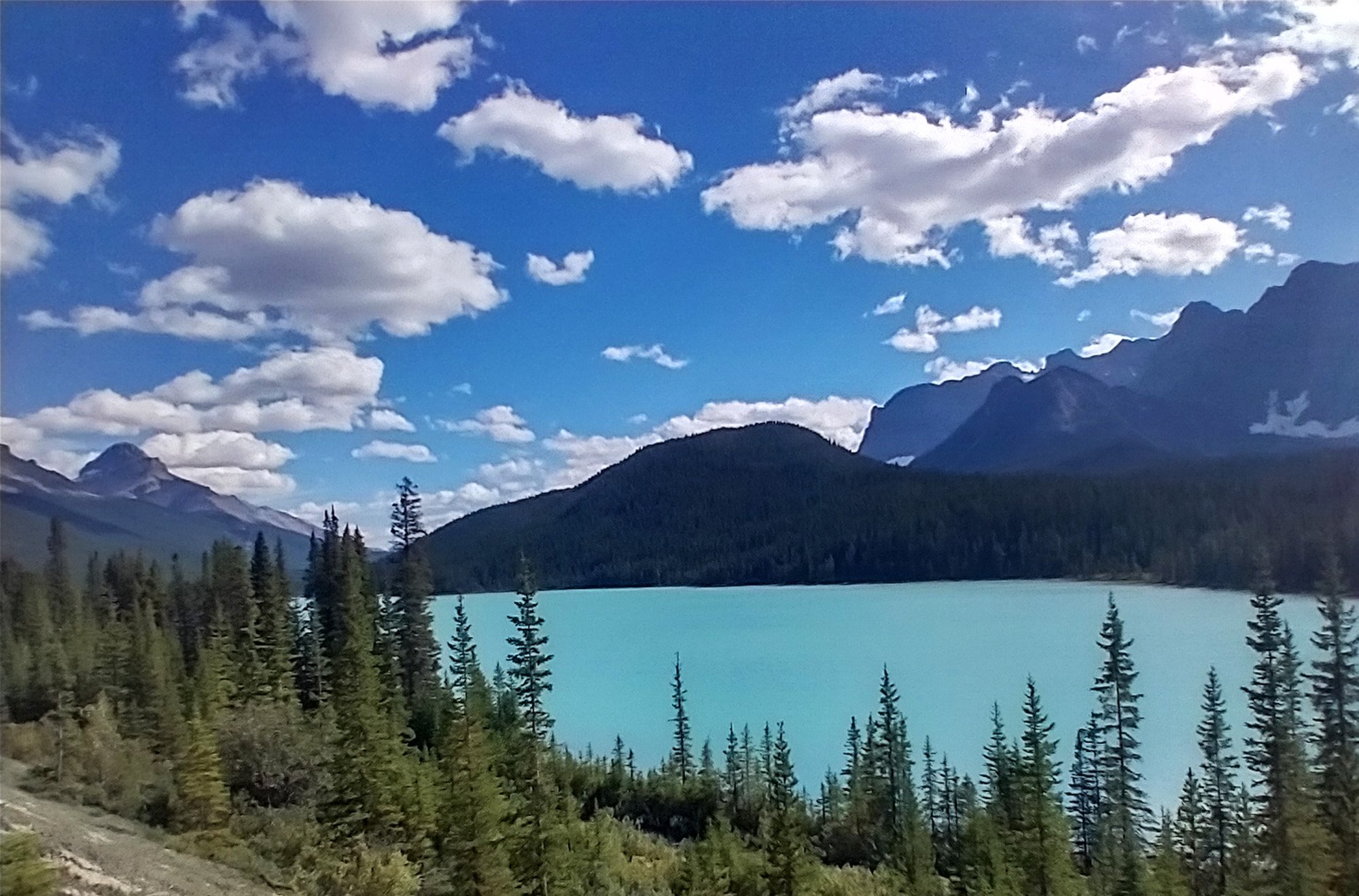
If you keep going towards Banff, then you reach Peyto lake, at the top of the mountain pass. About 600m up from the crossing.
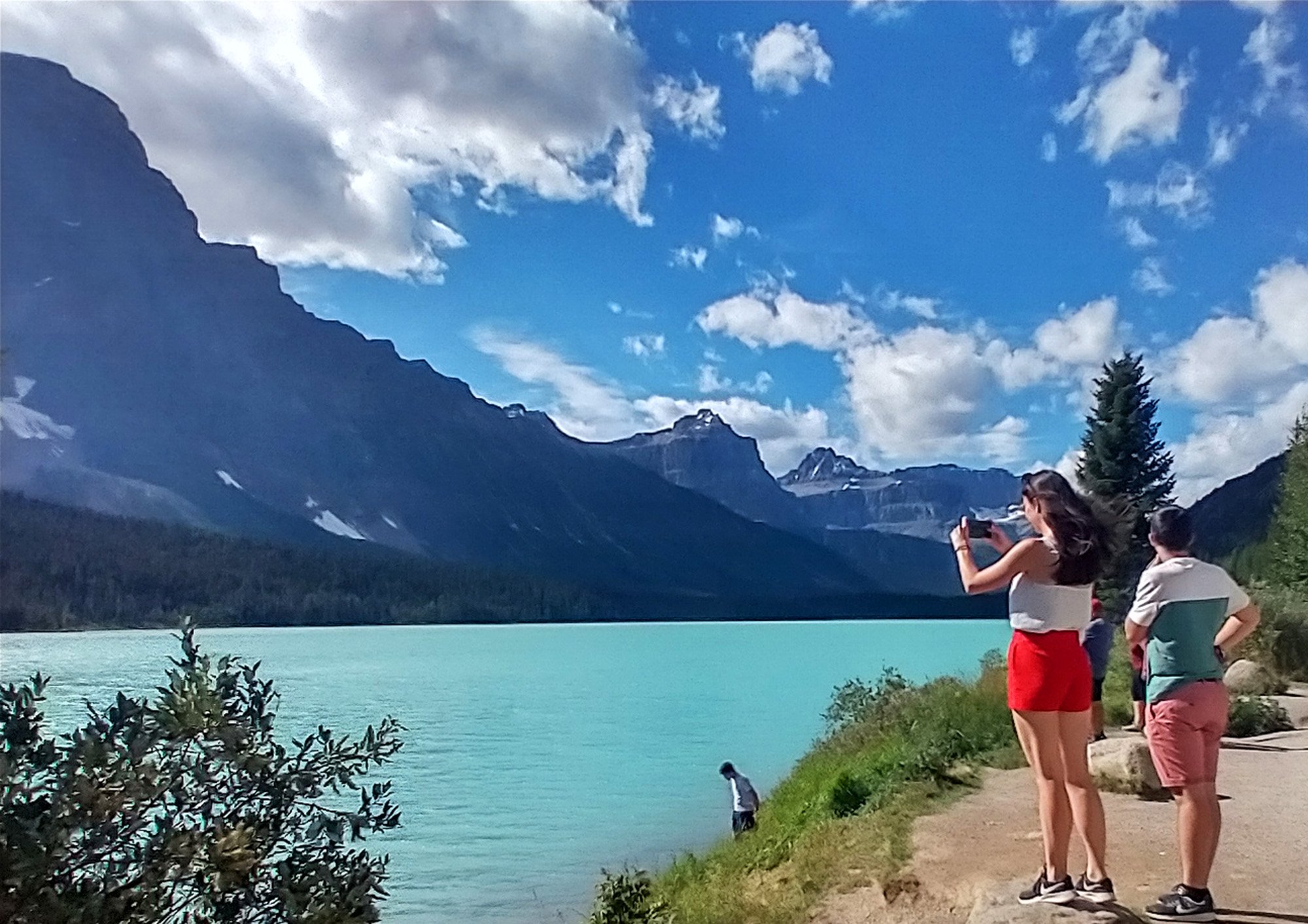
I didn't know this place was such a thing. Only went there because I wasn't going to drive this road.
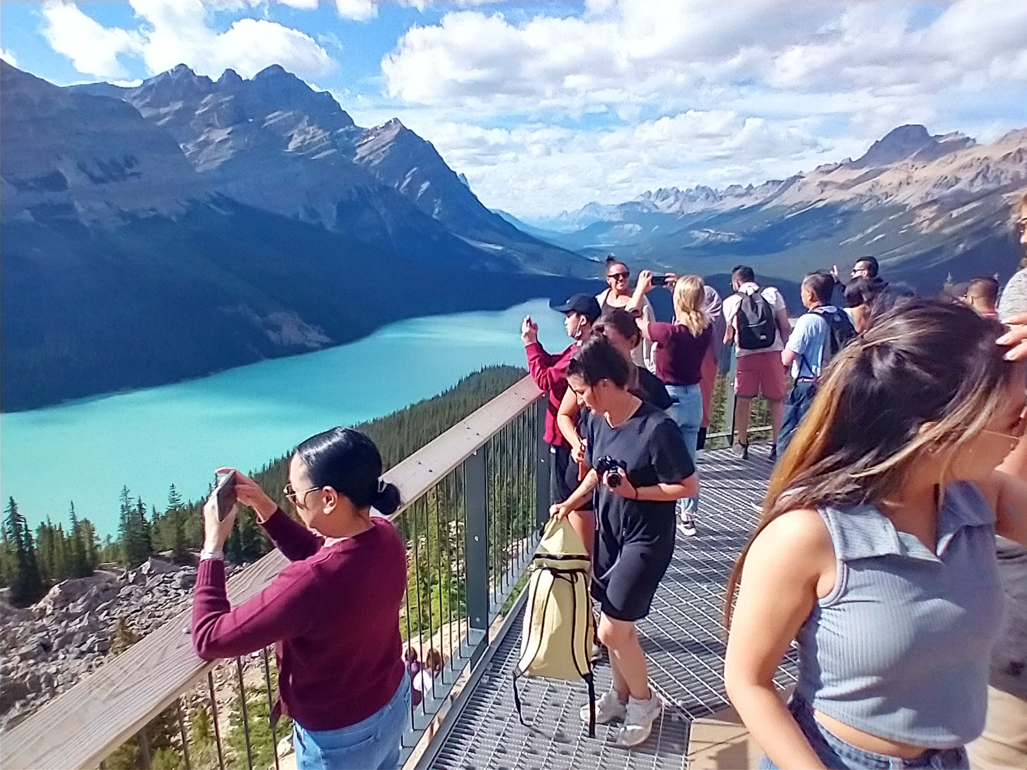
Turns out this is another one of Canada's Instagram centrals. Definitely have seen this lake on women's dating profiles lol.
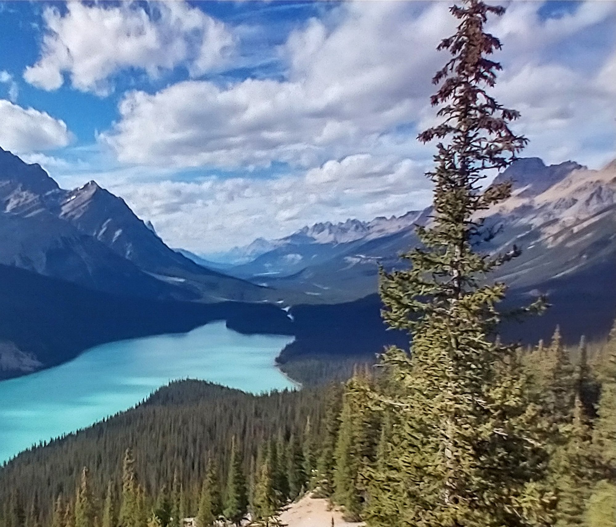
Now I know you're not adventurous, lady, because you can drive all the way up to this thing. Takes zero effort. I biked it, I'm way better then you.
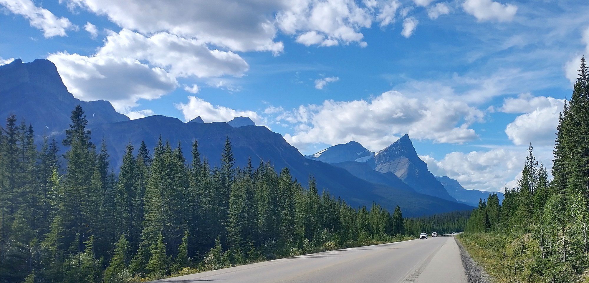
More insane views while going back down from the lake.
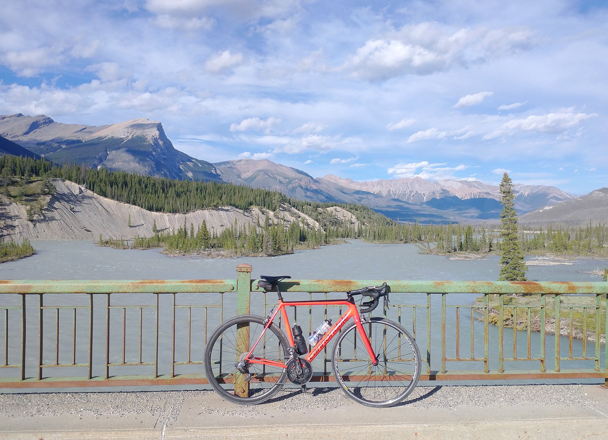
The bottom of the road fork, with a bridge crossing over the Saskatchewan river. It's also grey.
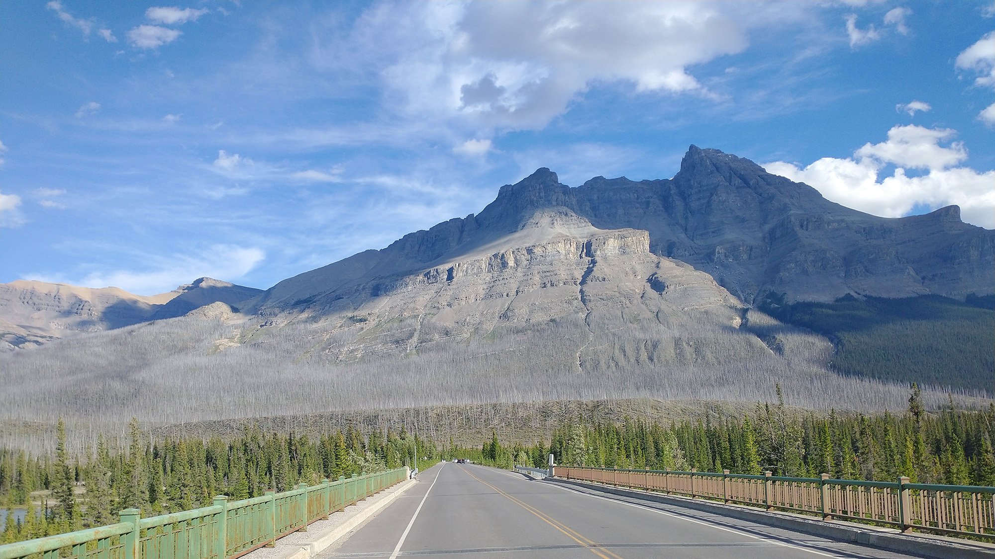
One last look before driving out of the mountains back towards Calgary for an improvised statue detour.
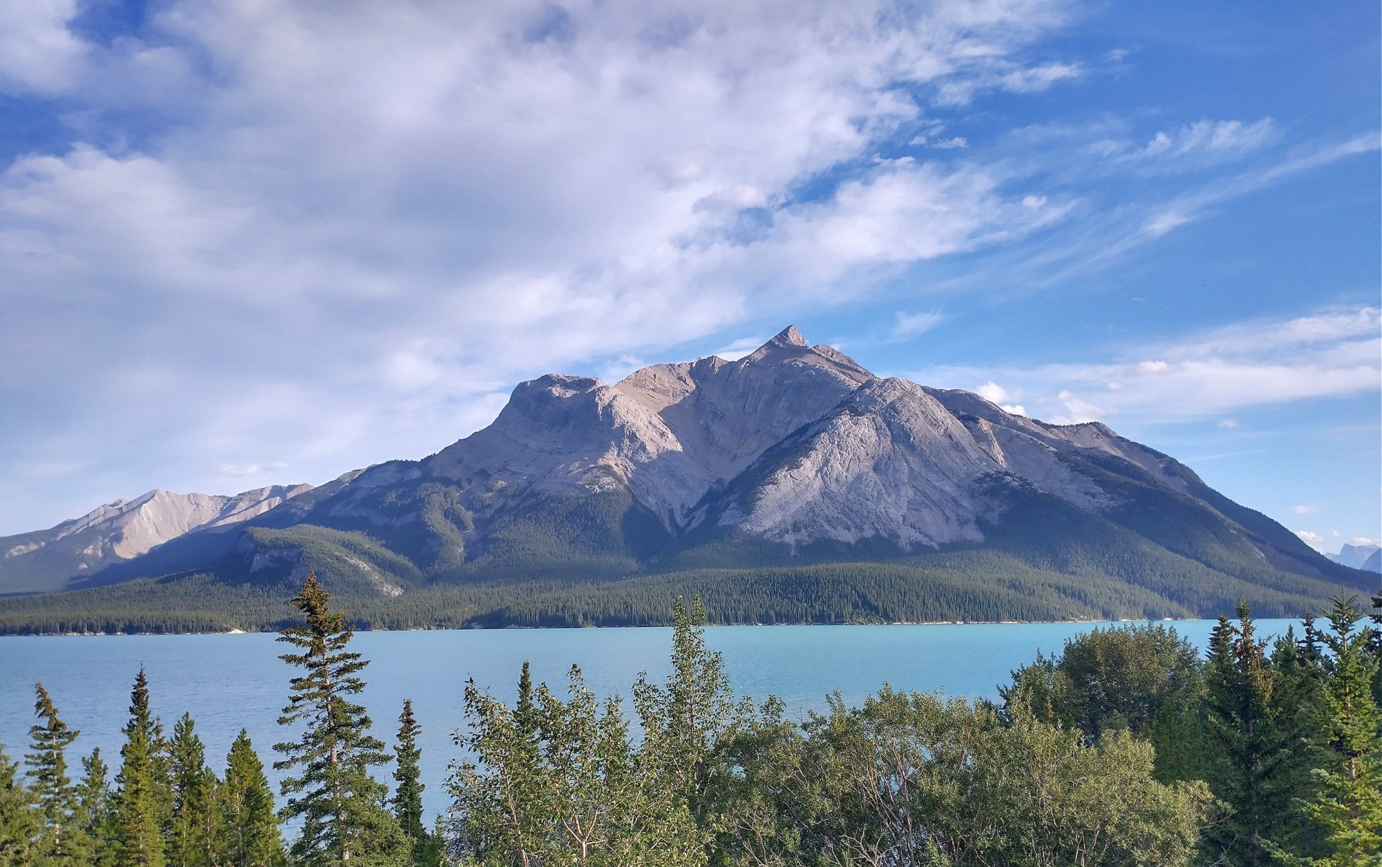
This drive takes you along the river and next to Cline Lake, which is most epic.
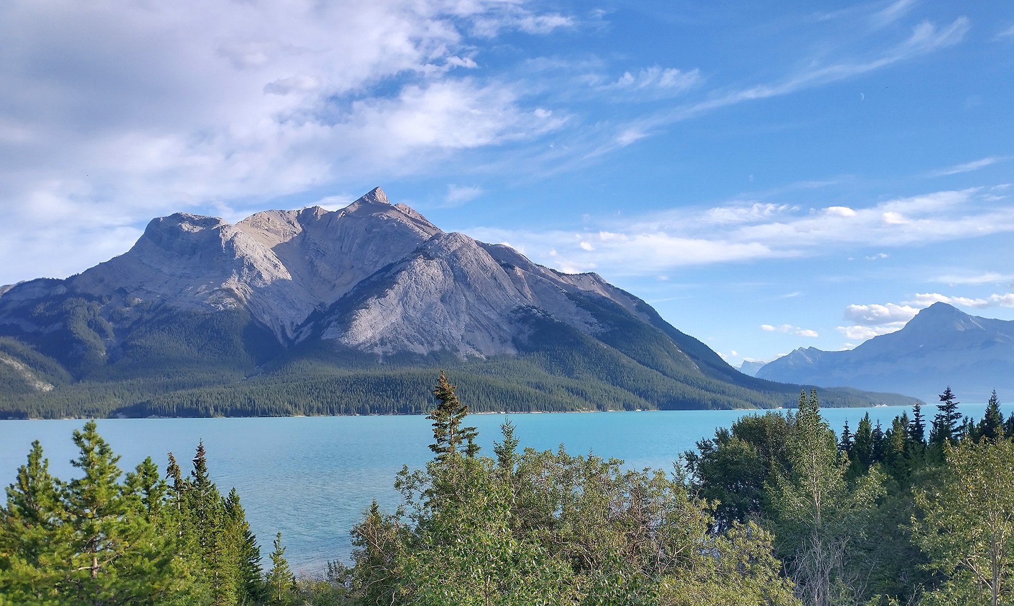
That's a good way to exit the mountains if you ask me.
This day was a really ambitious driving day around the Red Deer / Calgary region. Ended up doing this horrible garbage ride after realizing that the Biggest Oil Lamp was in the badlands area. I thought this road crossed over some cool drumheller type scenery but it was just flat windy garbage and all the connectors were unrideable sandy roads.
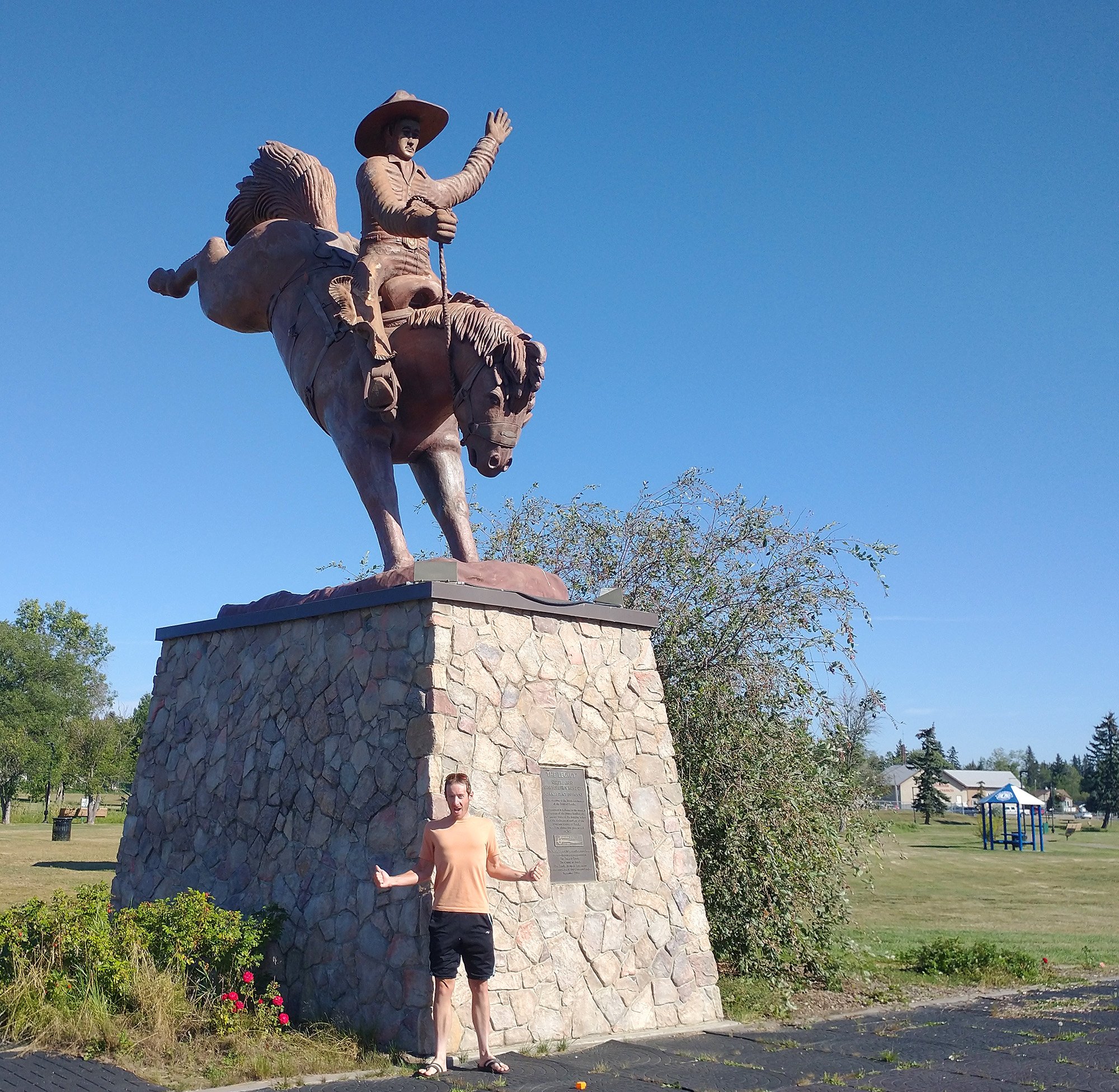
Largest Bunking Bronc with a Rider. Ponoko, AB. Winner by default once again...
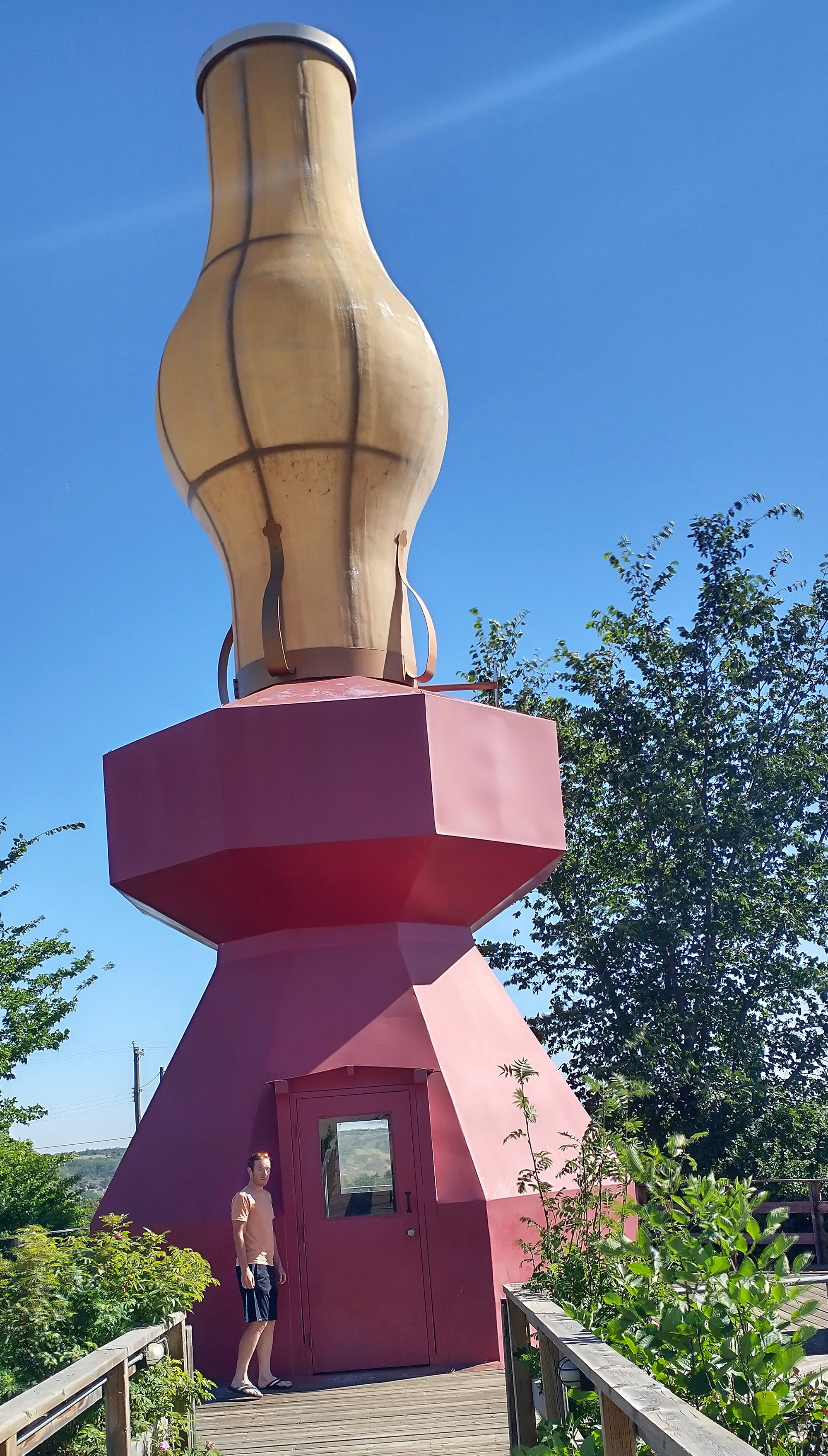
Largest Oil Lamp, in Donalda, AB! There's some Badlands scenery around there too.
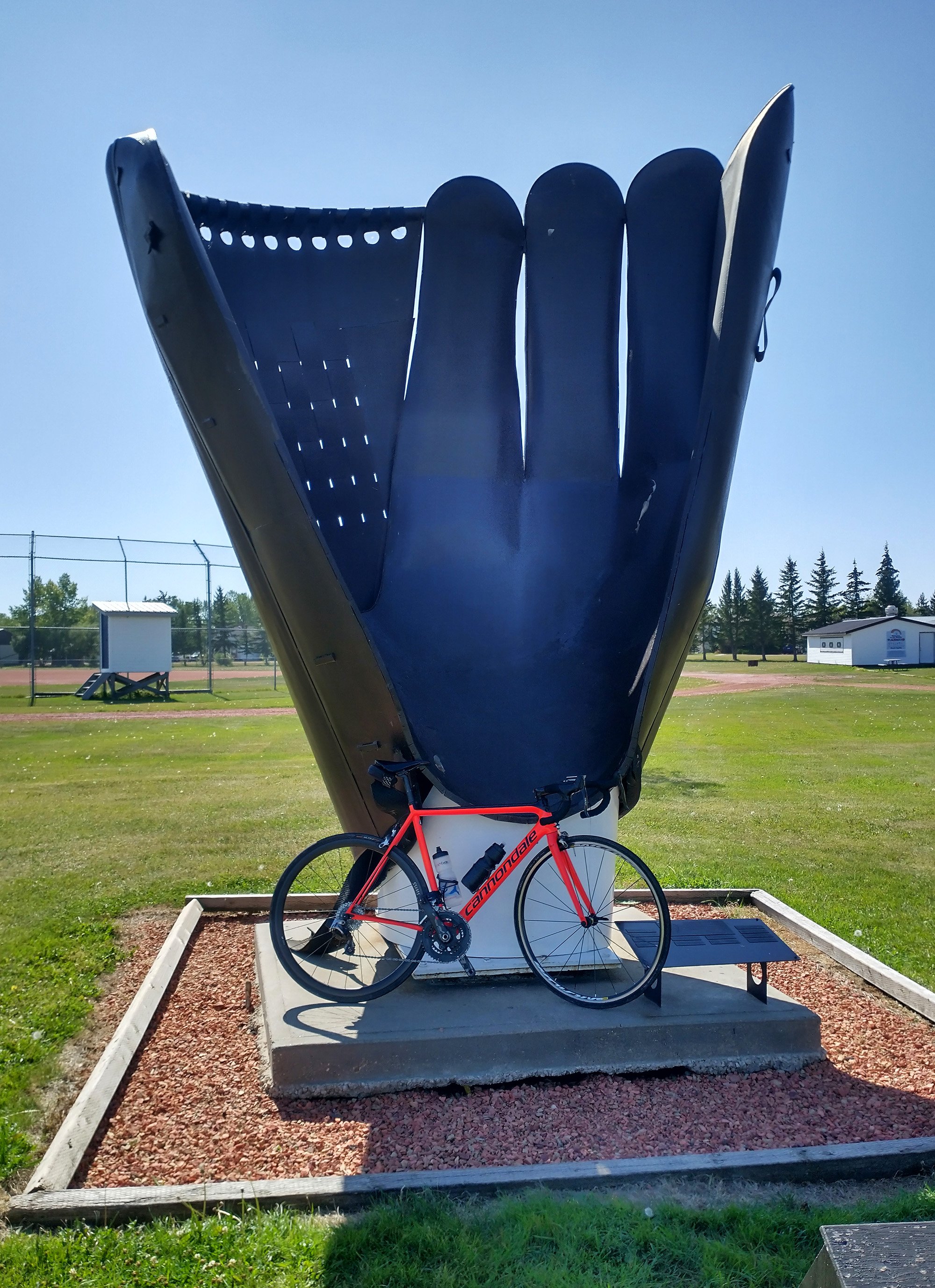
Largest Baseball Glove, in Heisler, BC. Super mega dump town. Why is this here.
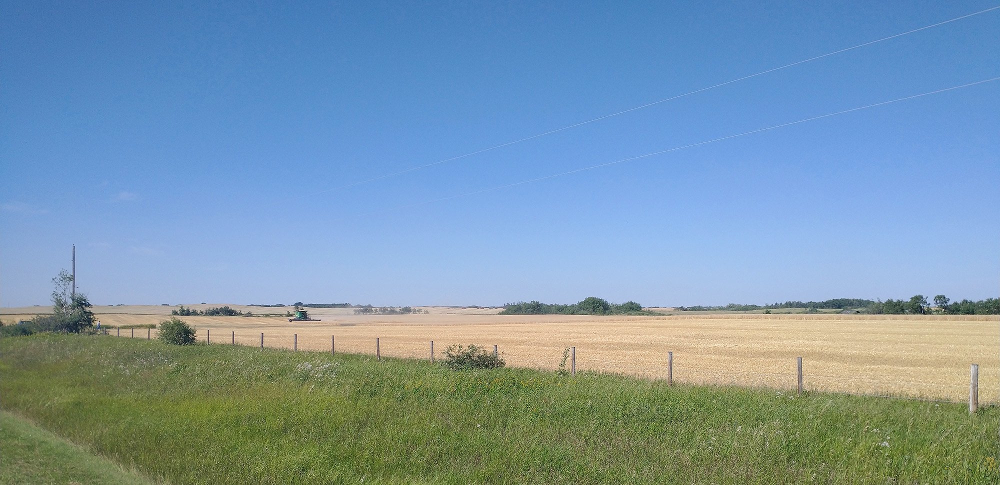
Scenery on the ride. Just fields during harvest.
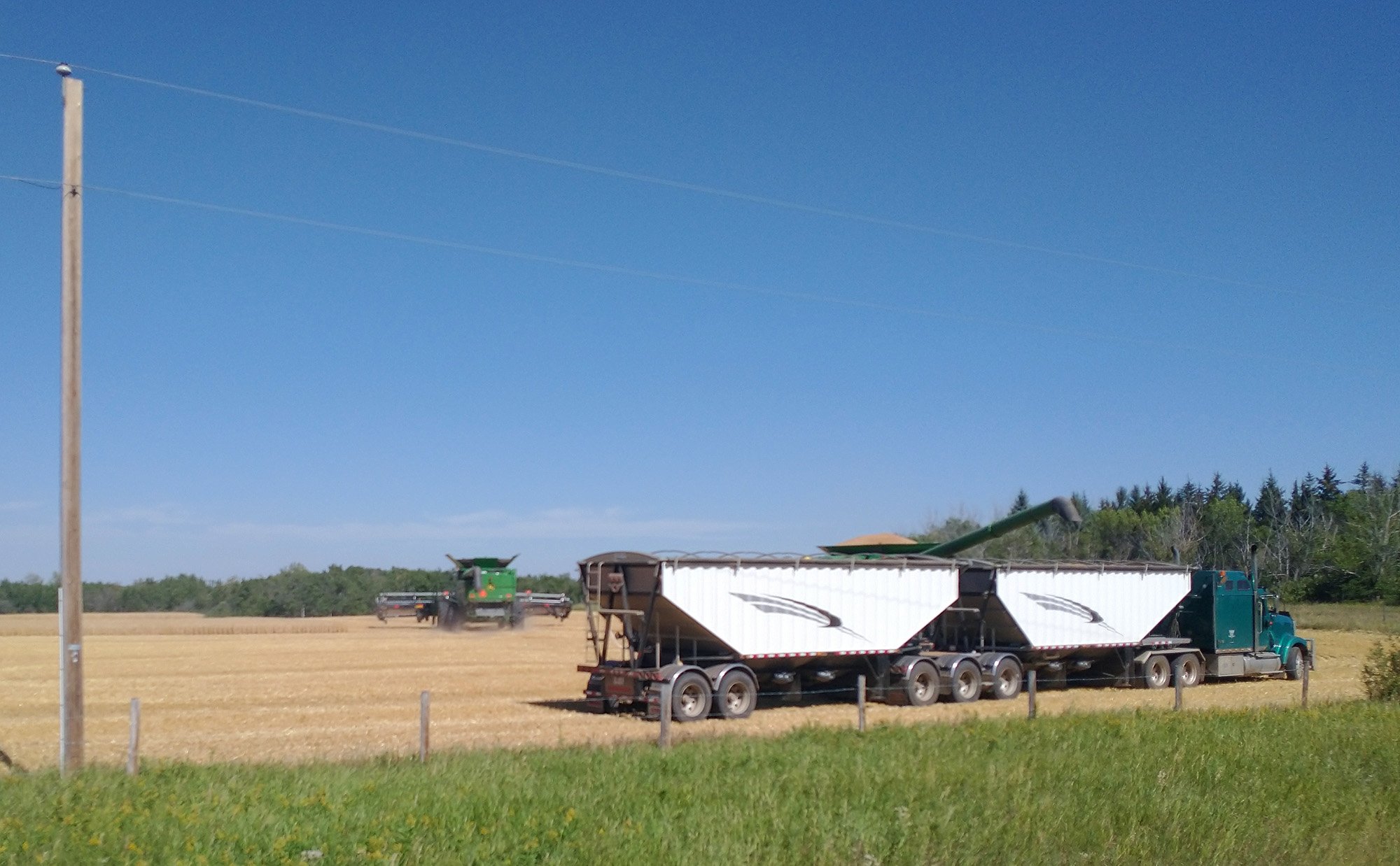
Watched them fill this truck with grain. Wonder how many breads per acre you can make.
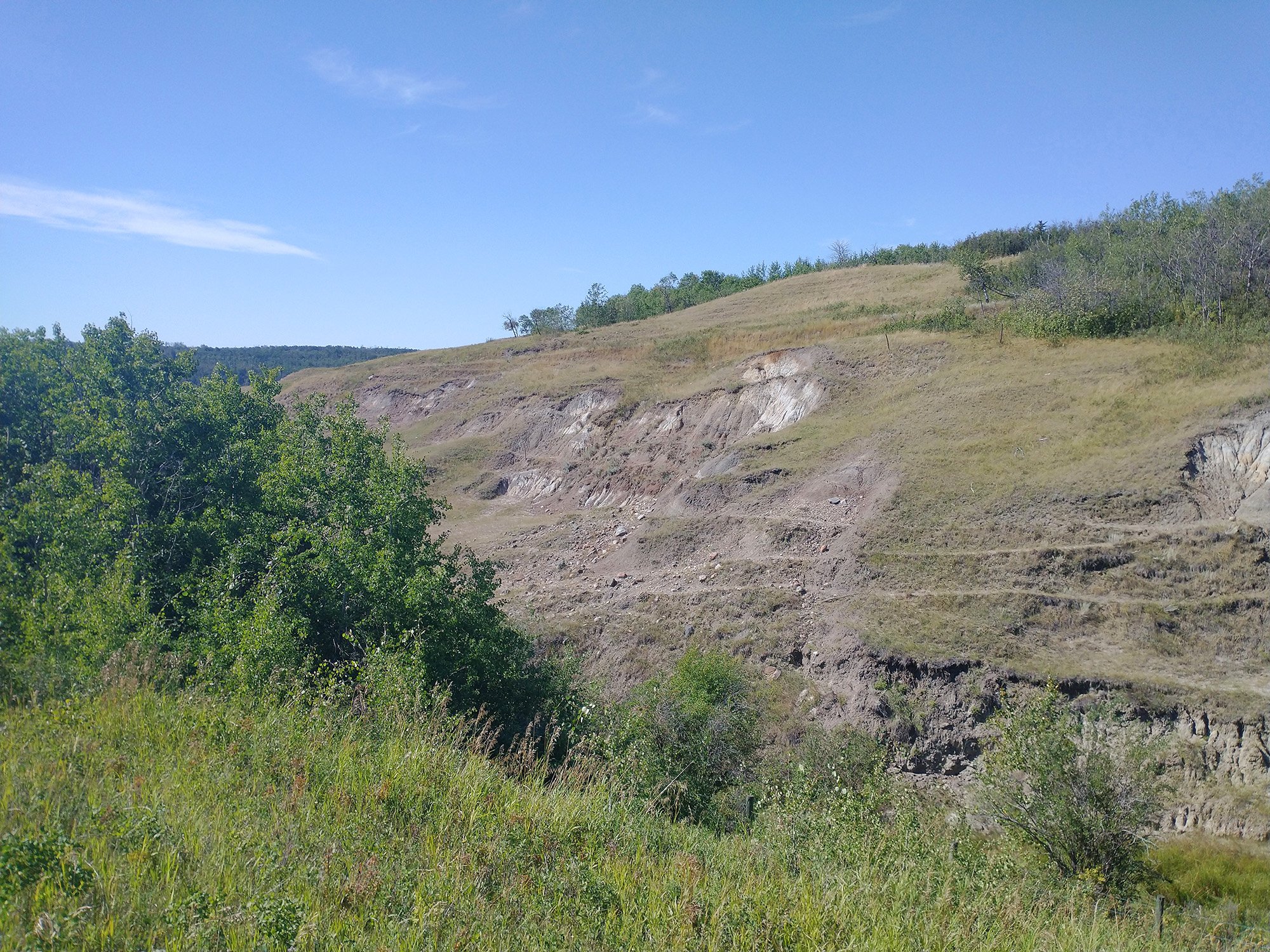
Tiny bit of Badland-ness. Yeah this ain't no Drumheller.
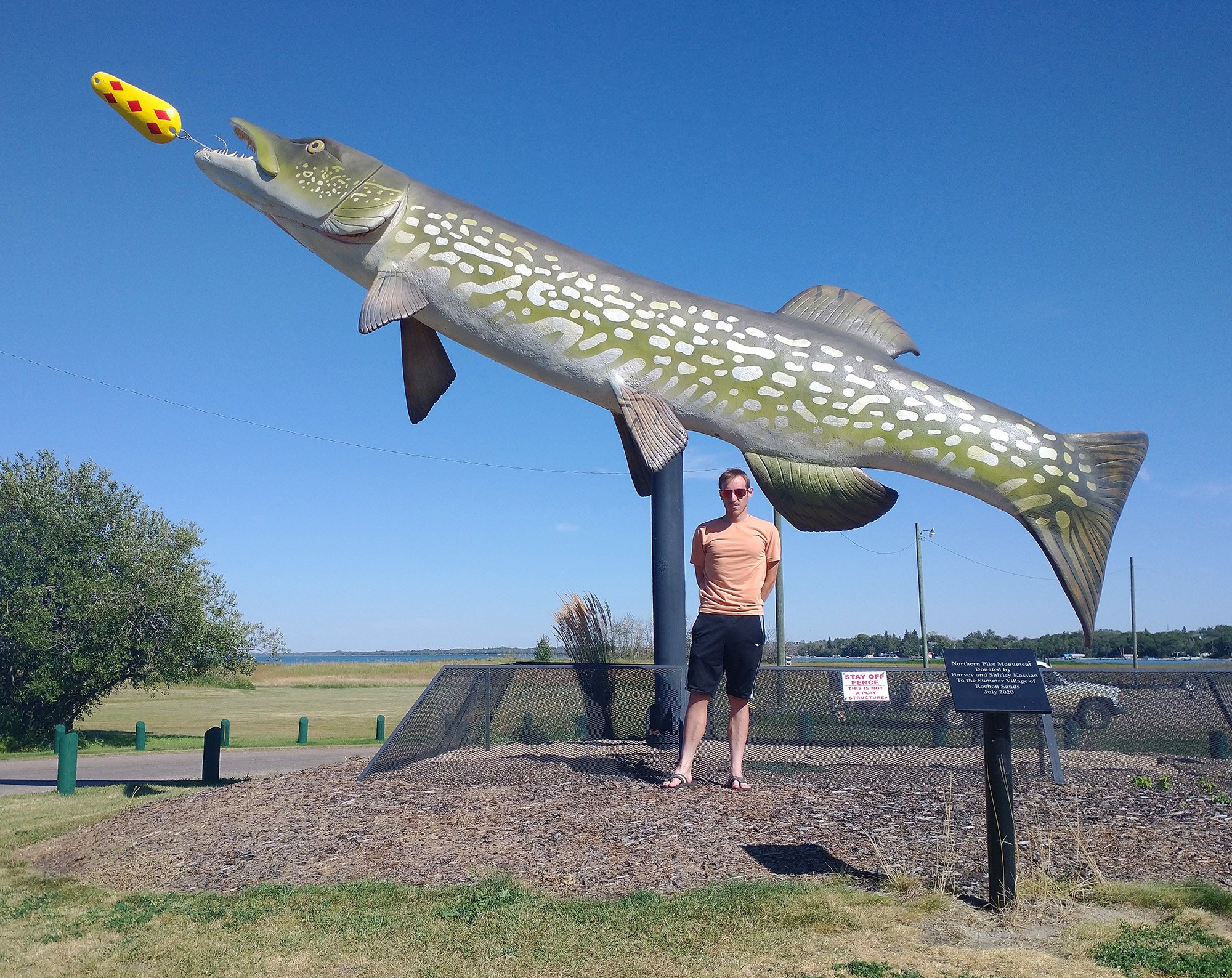
Biggest Pike in Rochon Sands. It's a fishing/camping town on the surprisingly large Buffalo Lake.
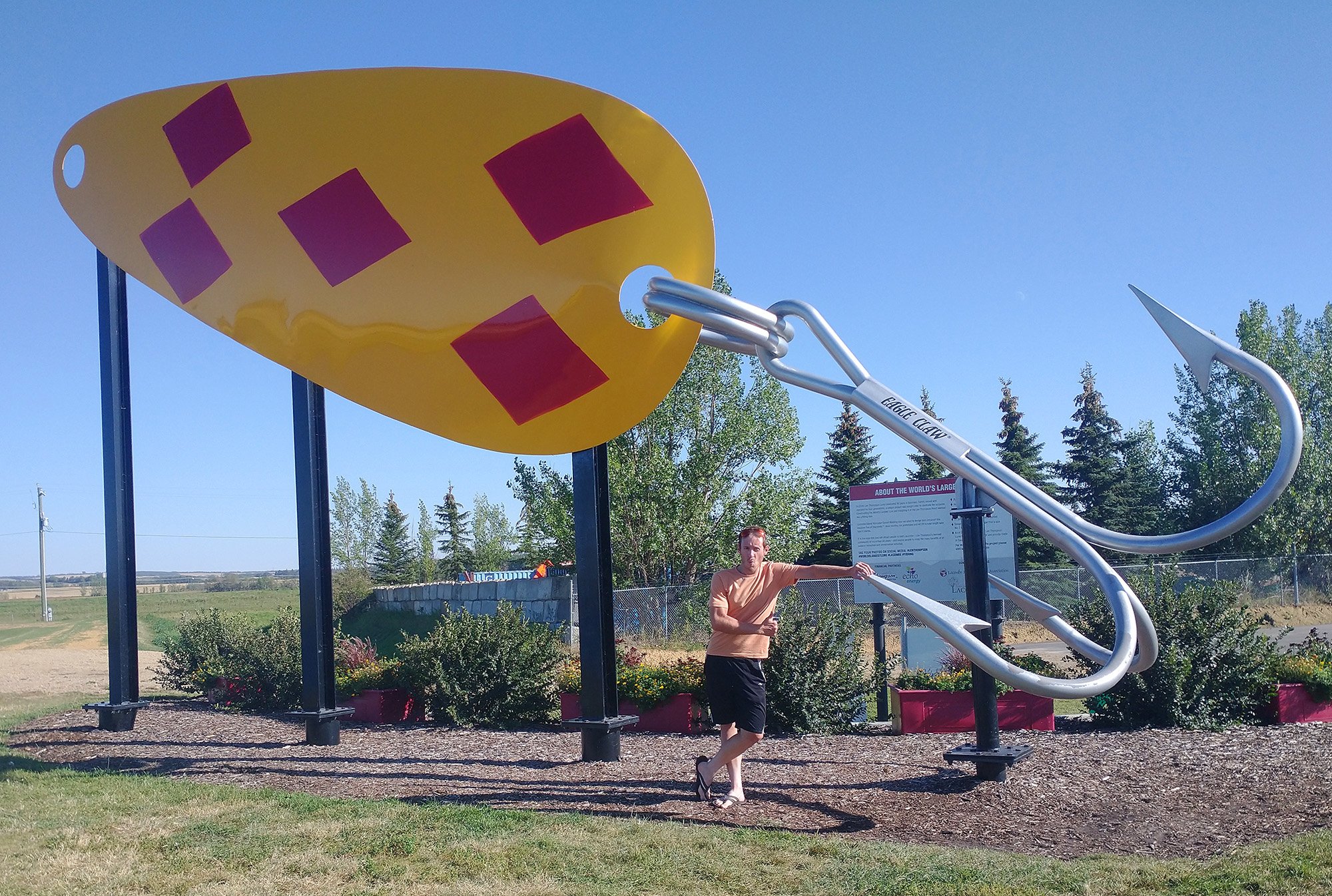
Biggest Fishing Lure, in Lacombe, AB. That one's nice and pristine, not rubbed to nothing by tourists.
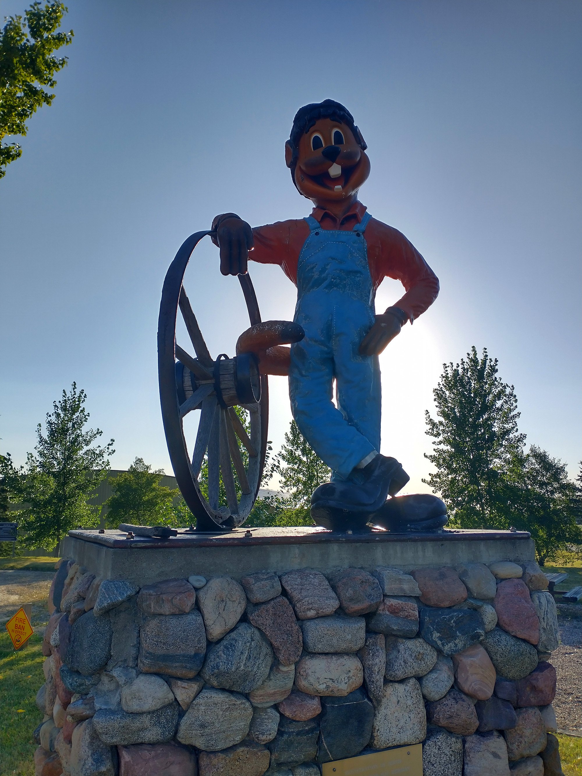
Clem T. Gofur, the Mascot of Torrington. Some kind of camping town with a "Gopher Hole Museum"....?
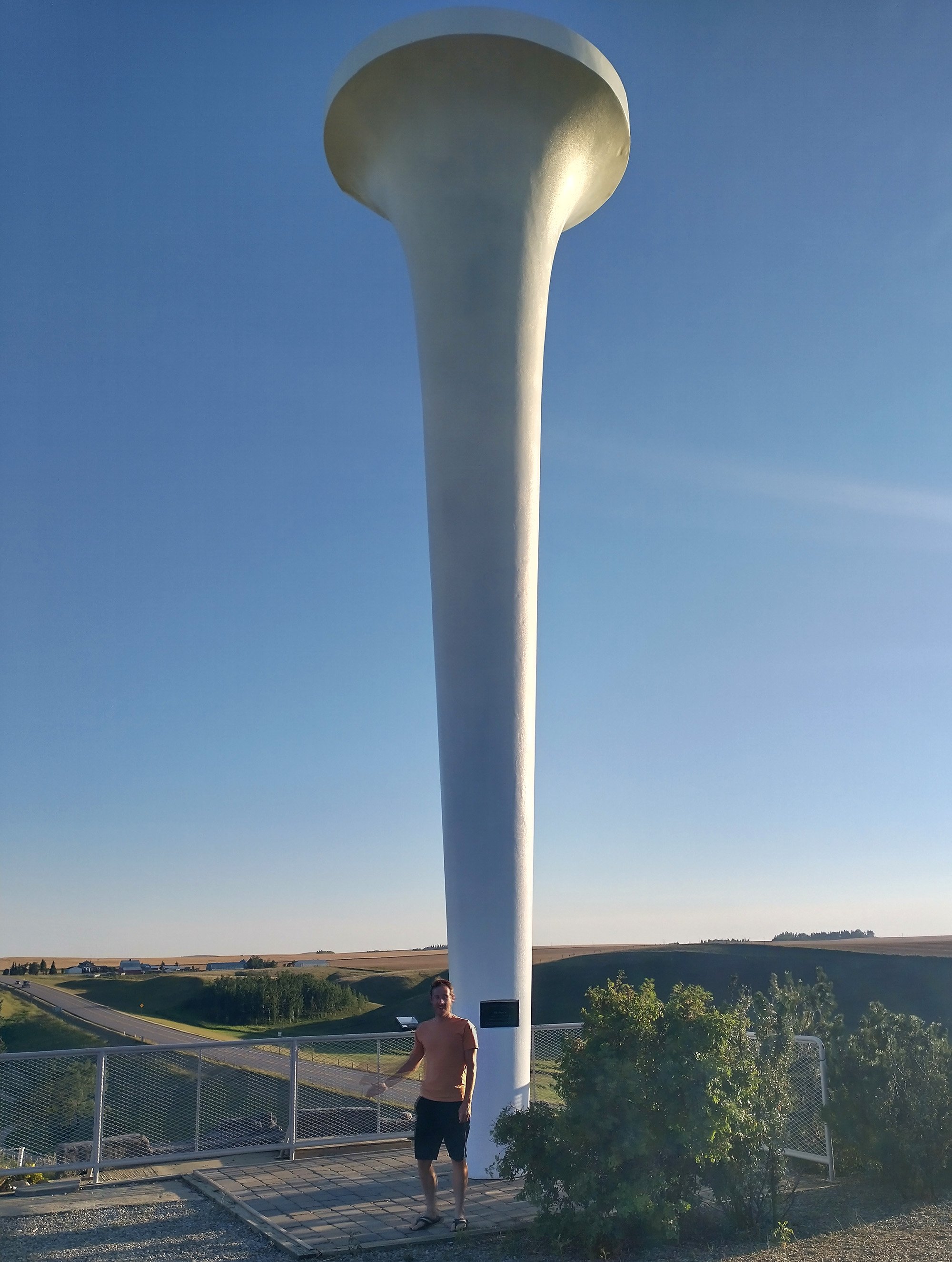
Largest Golf Tee, in Trochu, AB. I think the USA has a bigger one though because GoogleMaps kept trying to send me to Illinois.
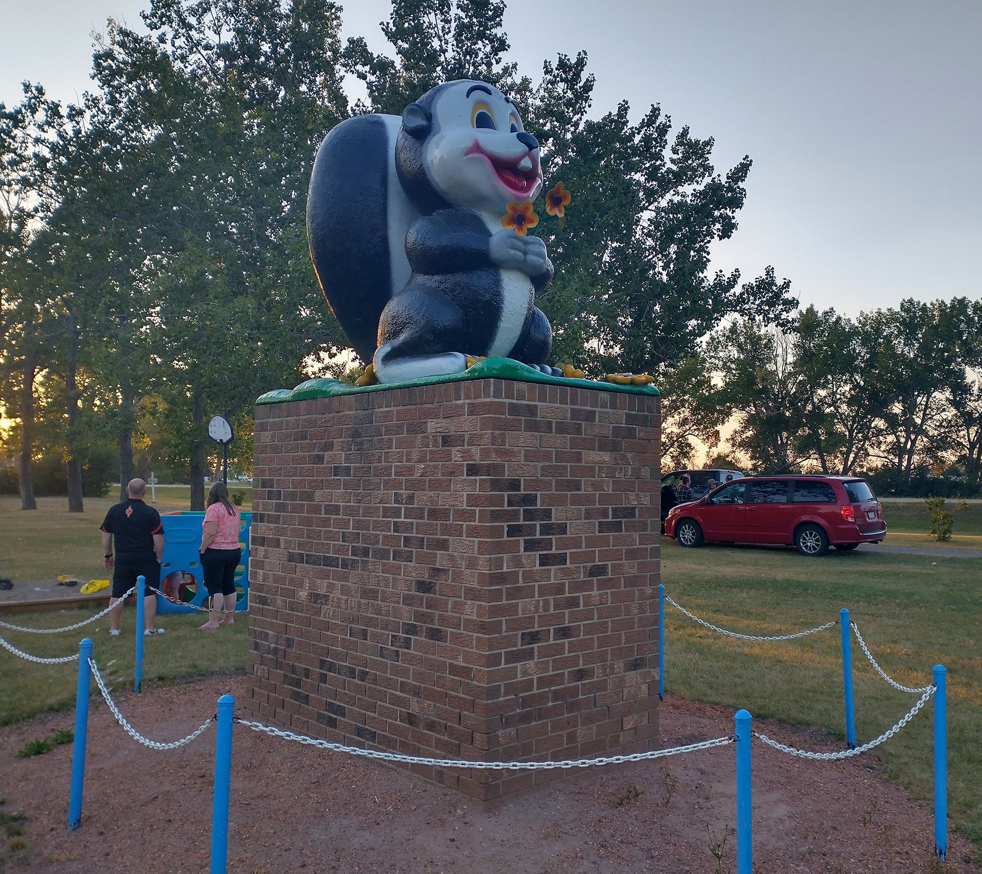
Last stop, almost at sunset: Squirt The Skunk, at the Beiseker AB campground.
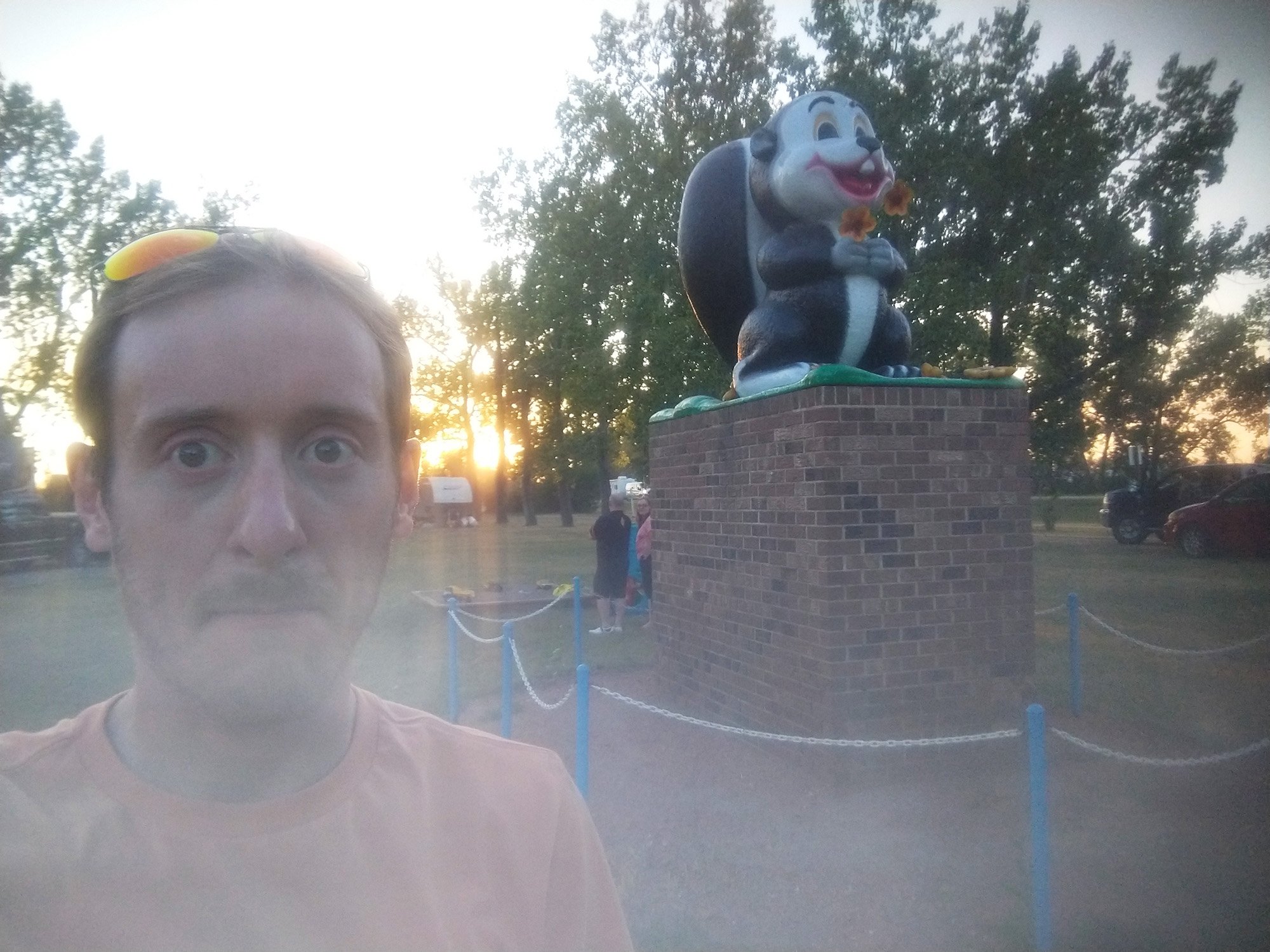
Yeah my phone cracked again. A gust of wind blew my tripod to the ground at the Big Pike. Phone fell flat on the screen....
Made a detour to Calgary to trade some Magic Cards and chill. Had a big climb planned in the region ( HighWood Pass ) but I got confused and thought it was Mount Edit Cavell, which I had done already… So I improvised this… thing. Damn it lol.
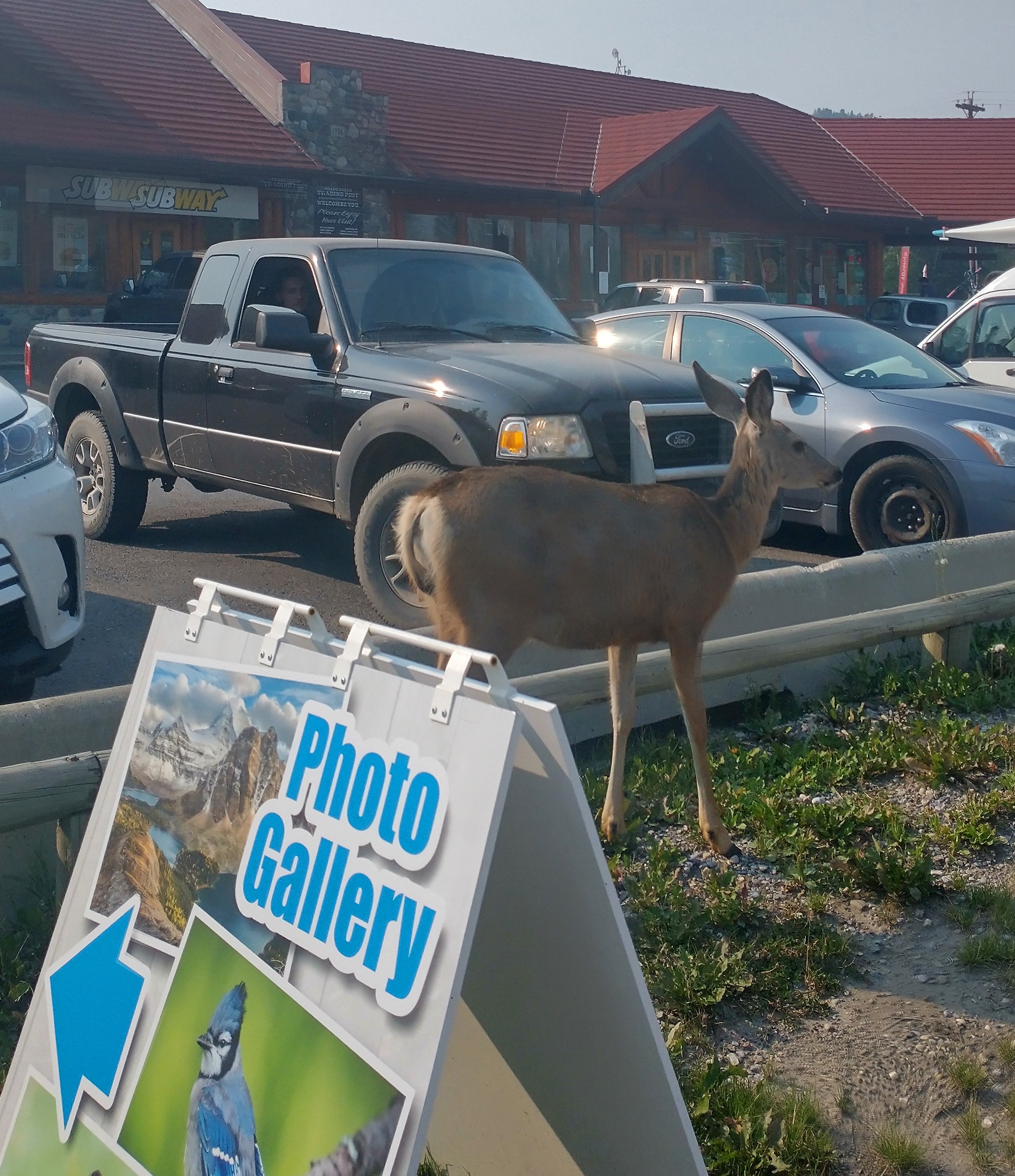
Started the ride with this deer just chilling in the parking lot, on foot away from me.
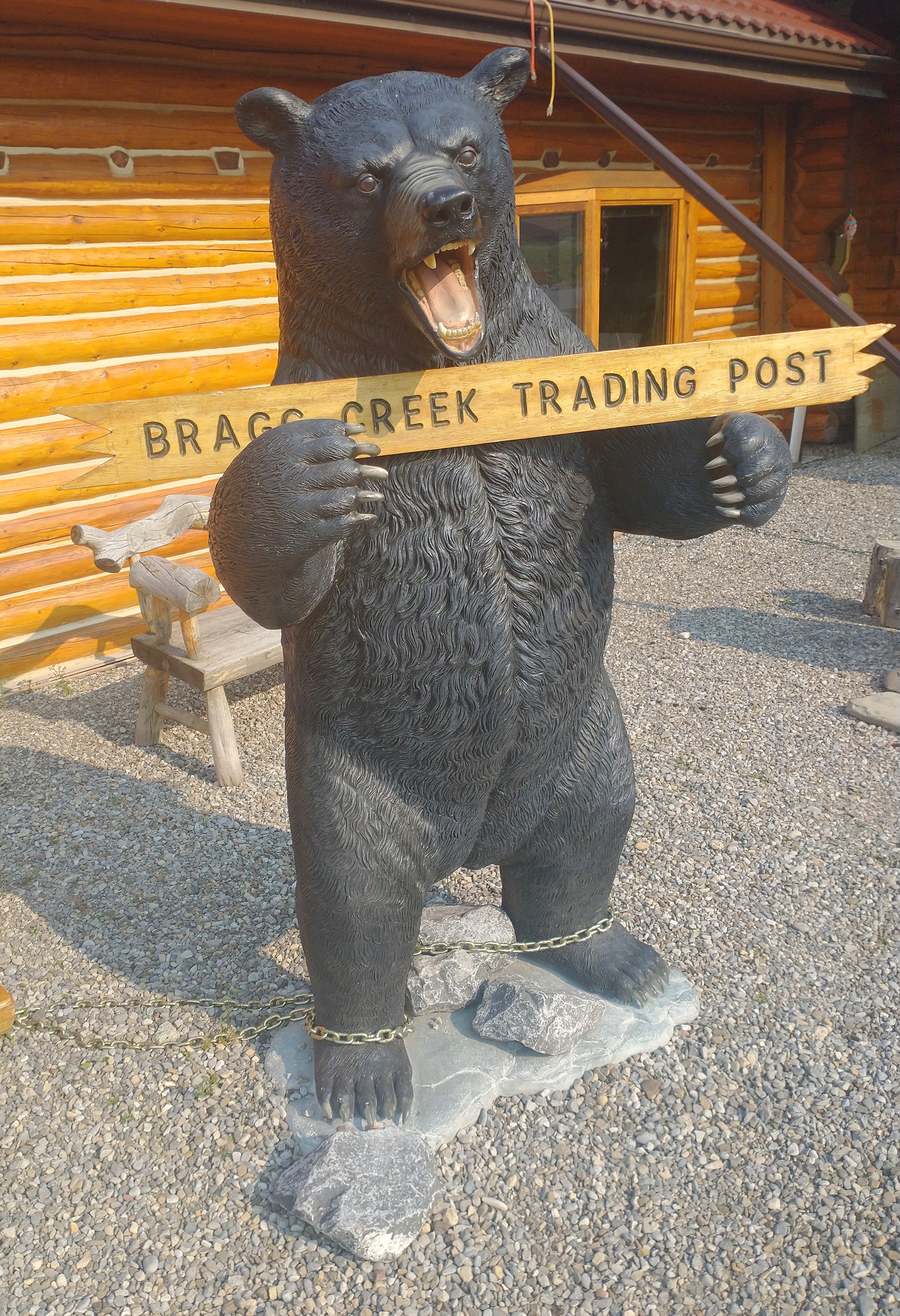
Just another one of Canada's endless bears.
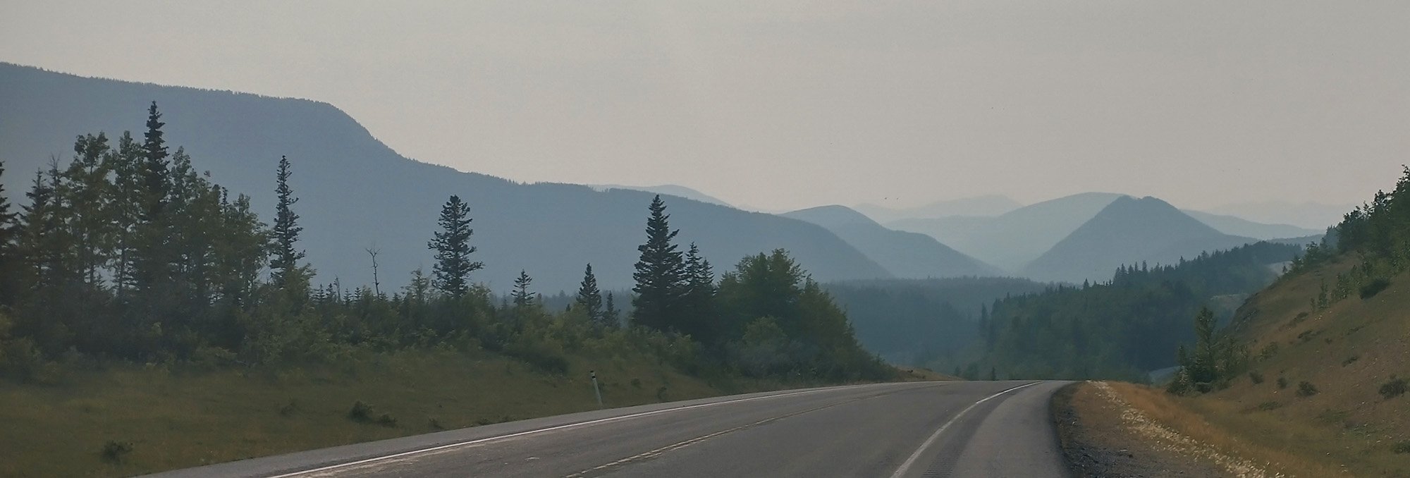
Was a very smoky day. I later learned Jasper caught fire. Maybe this is some of that? Was worried by trip to Banff would be half ruined.
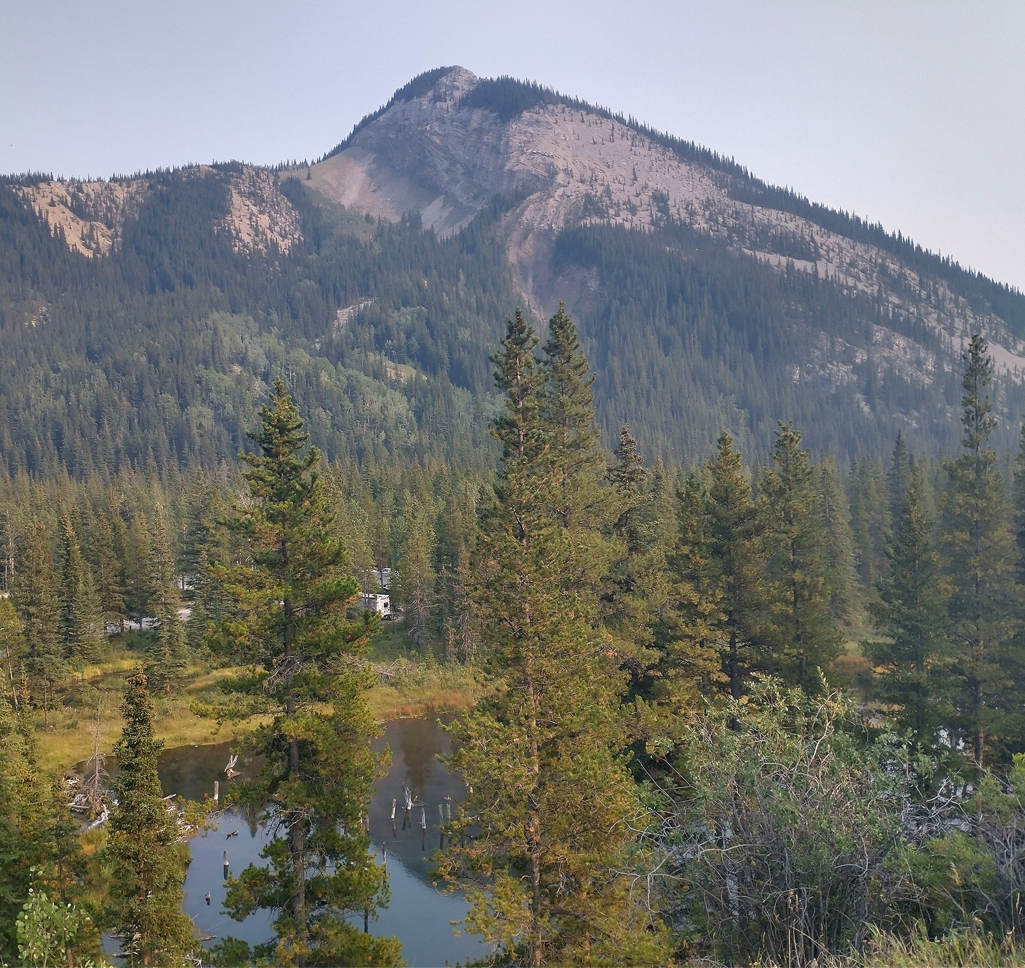
Near the top of the climb here. Elbow lake and a big bald mountain.
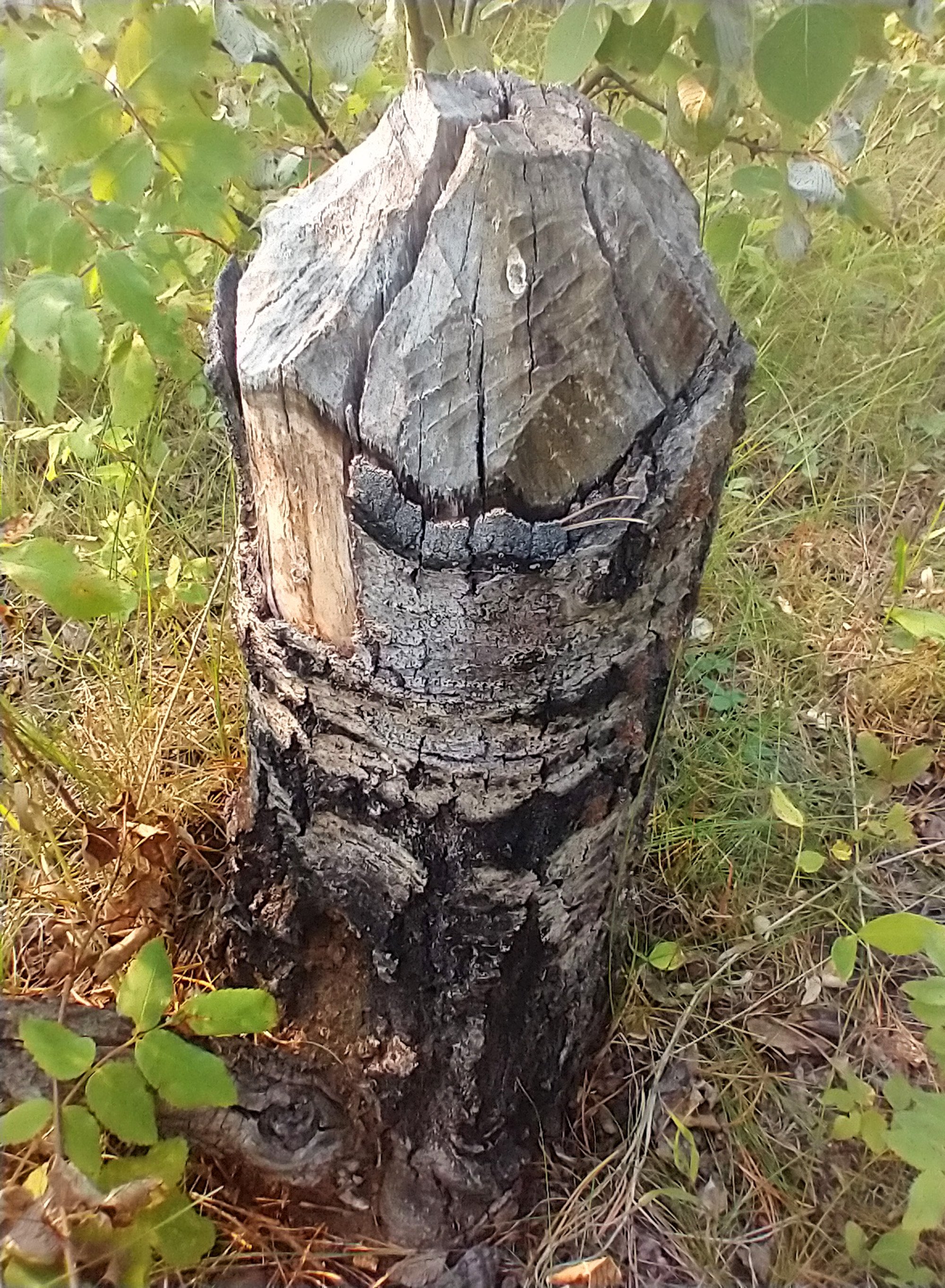
Traces of ancient beaver activity.
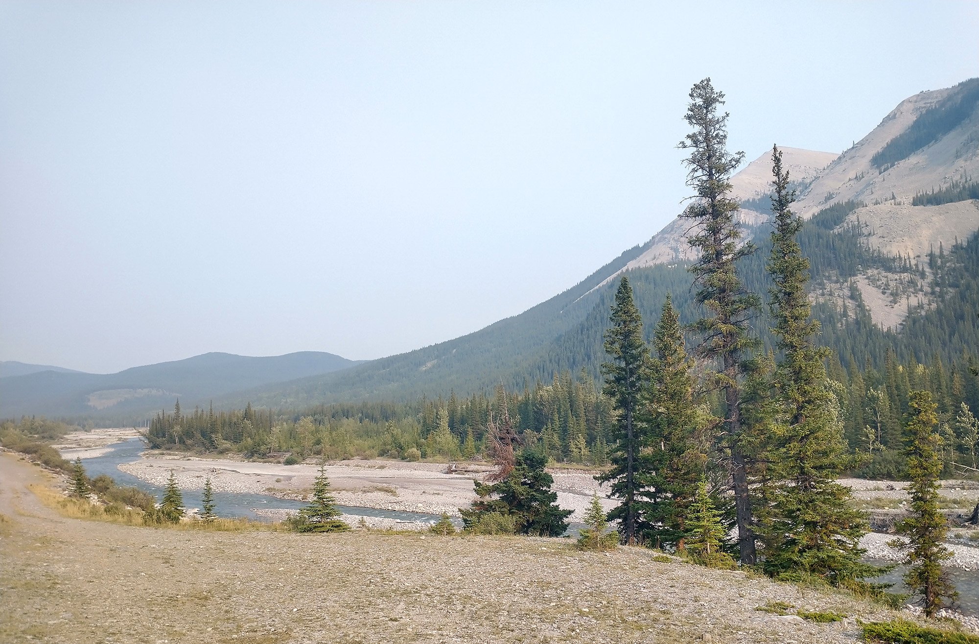
Sort of shallow/dry river bed here in these mountains.
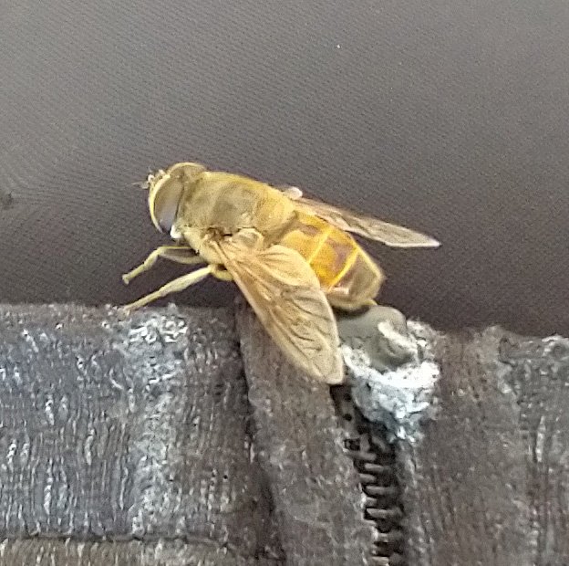
There's tons of these big horse flies with bee stripes in Northern Alberta. They're everywhere. They eat the crushed bugs on my car too.
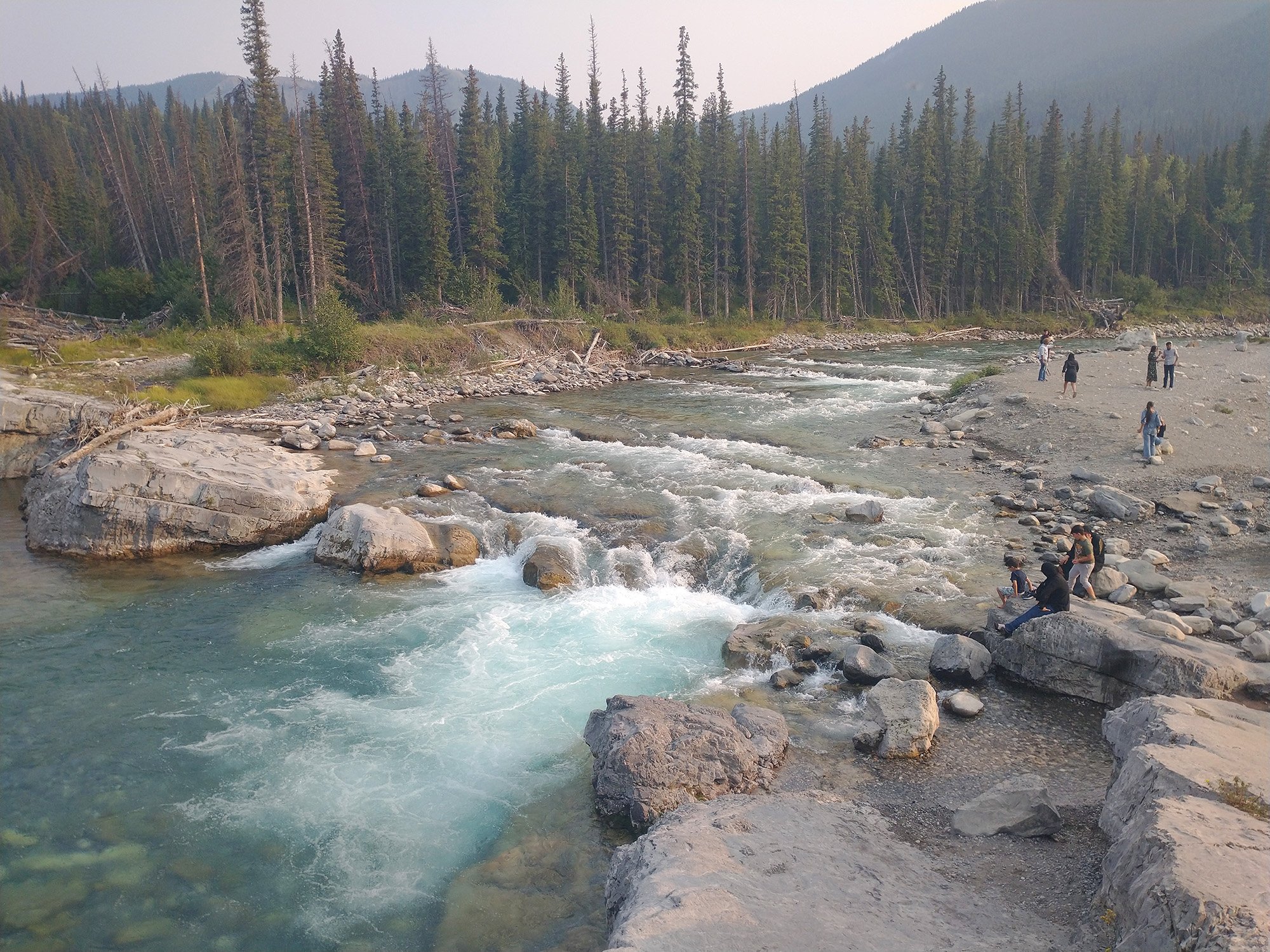
Elbow falls, where I stopped on the way back down.
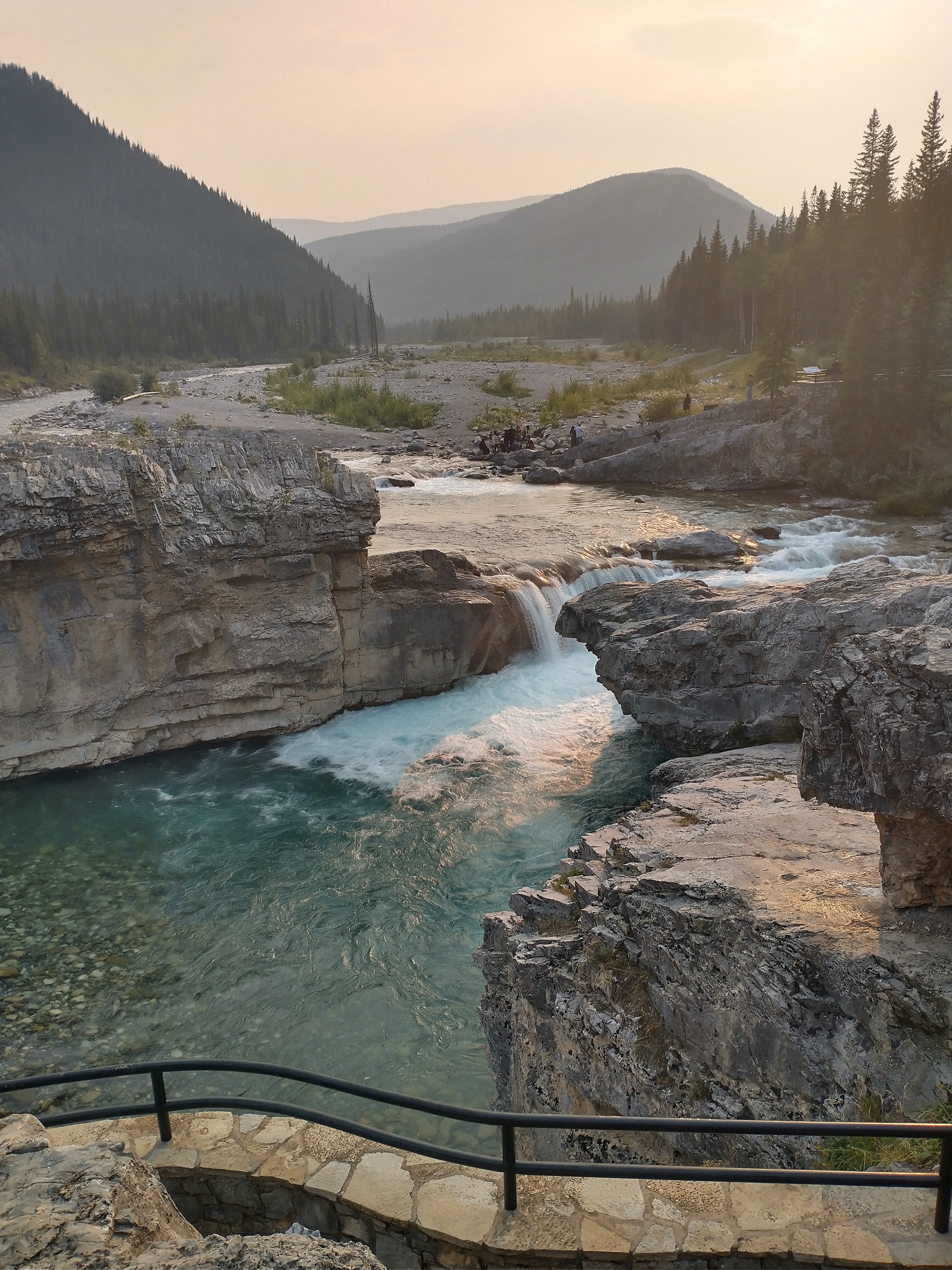
They're legit nice little falls. Worth a little detour if you're ever in the region.
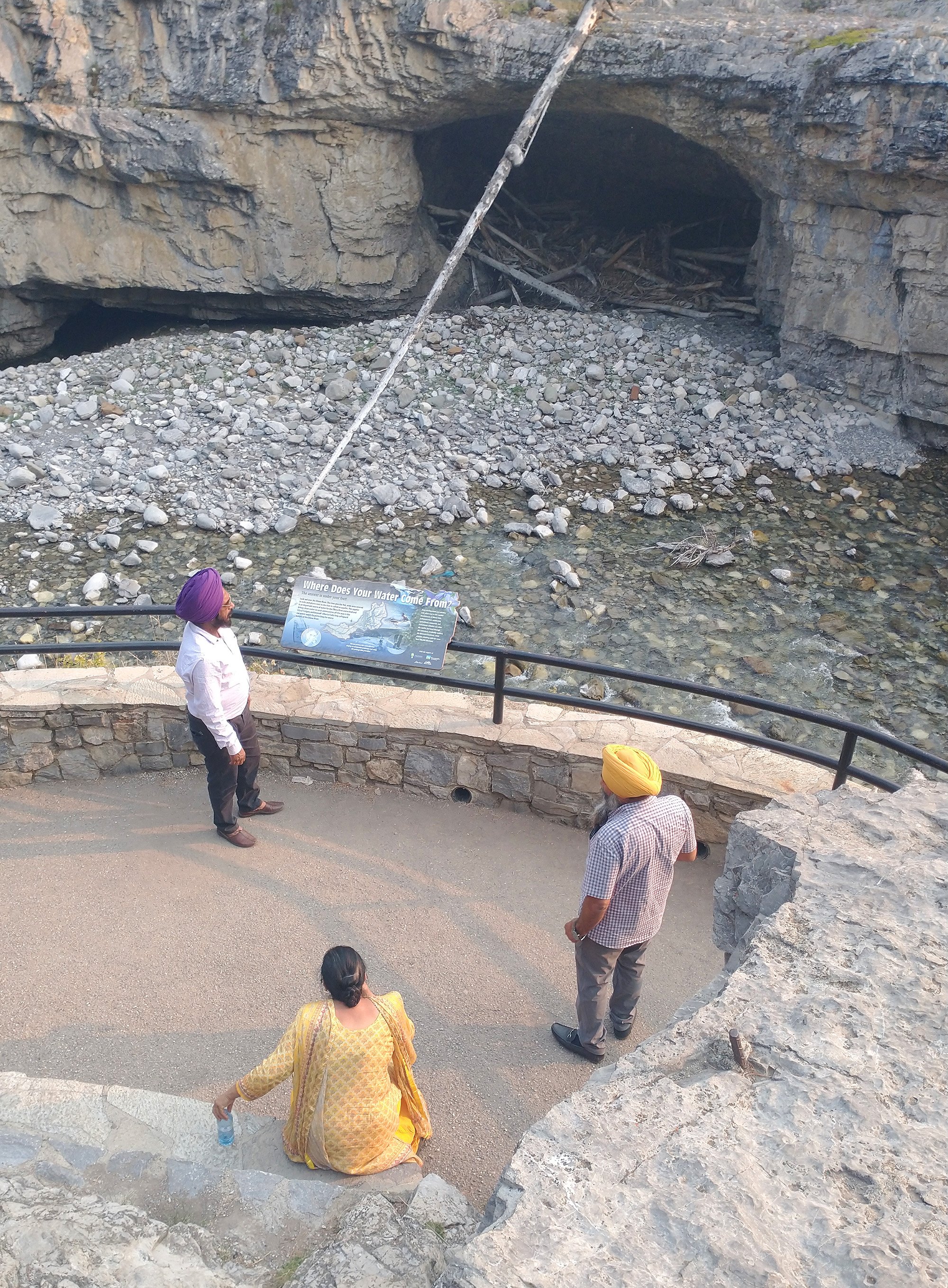
These guys were there for 20+ minutes taking all kinds of pictures.
Mapped a ride that would get me to see basically every single thing in the area. Was a bit hazy in the morning but rapidly cleared up, thankfully, so I would get to experience the epicness of the region once again.
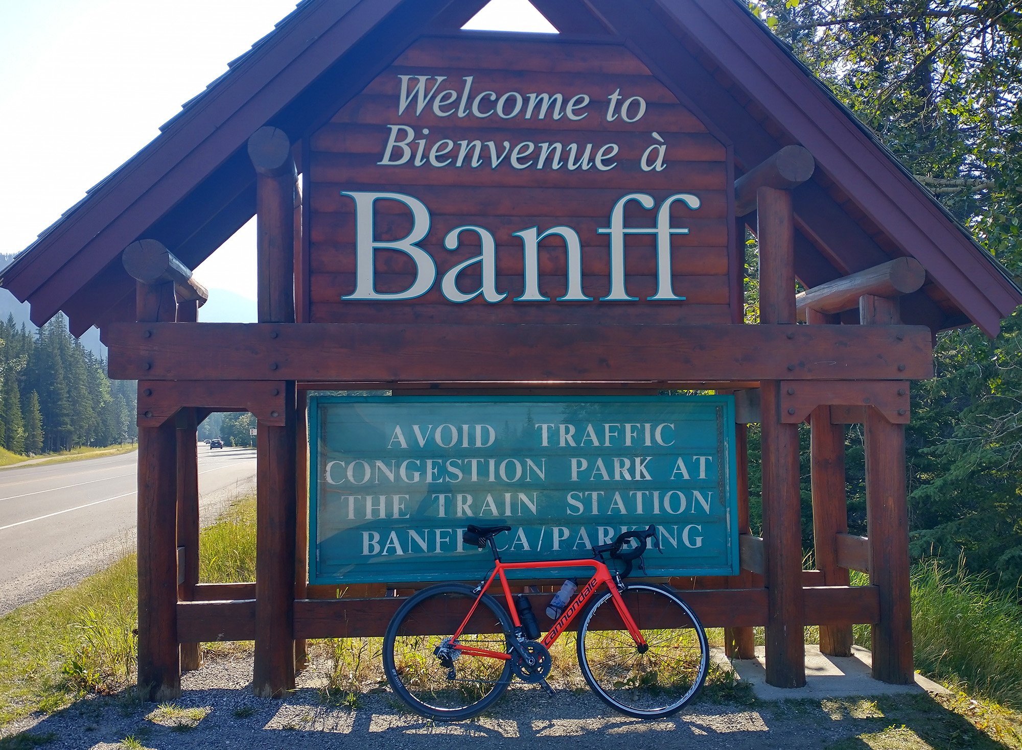
It was the long weekend and the town was absolutely jam packed. Every parking full and traffic jams. Somehow.
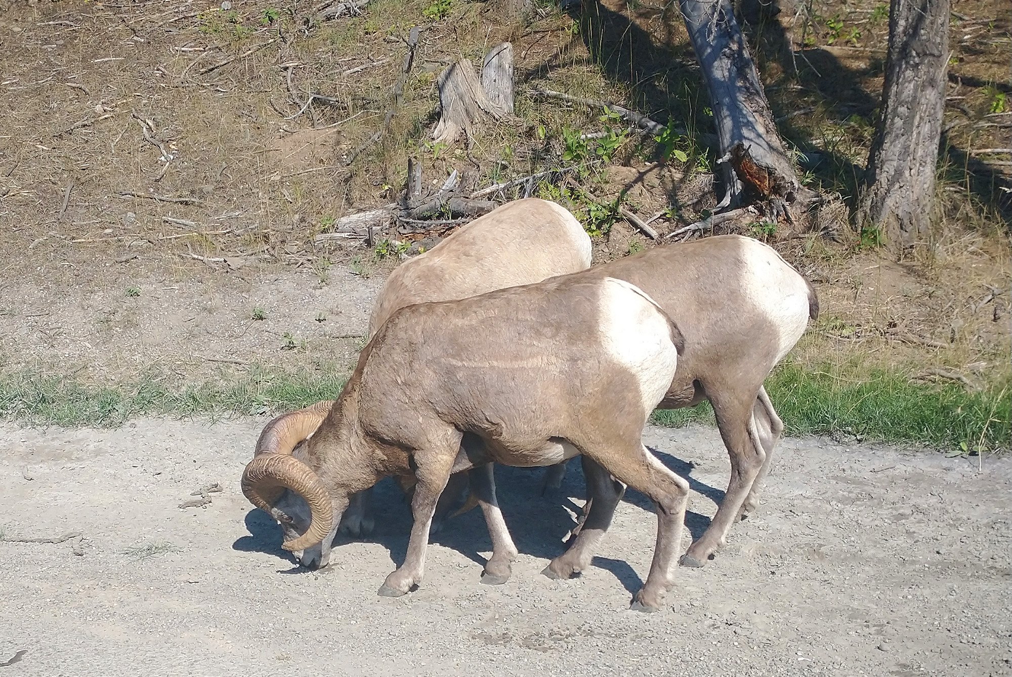
Started with the hardest climb of the day and was rewarded with these rams just eating dirt on the side of the road!
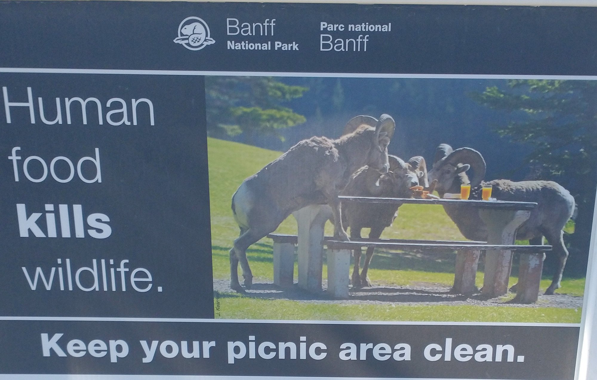
Give me a break, I just saw a bunch of them licking sand and eating rocks.
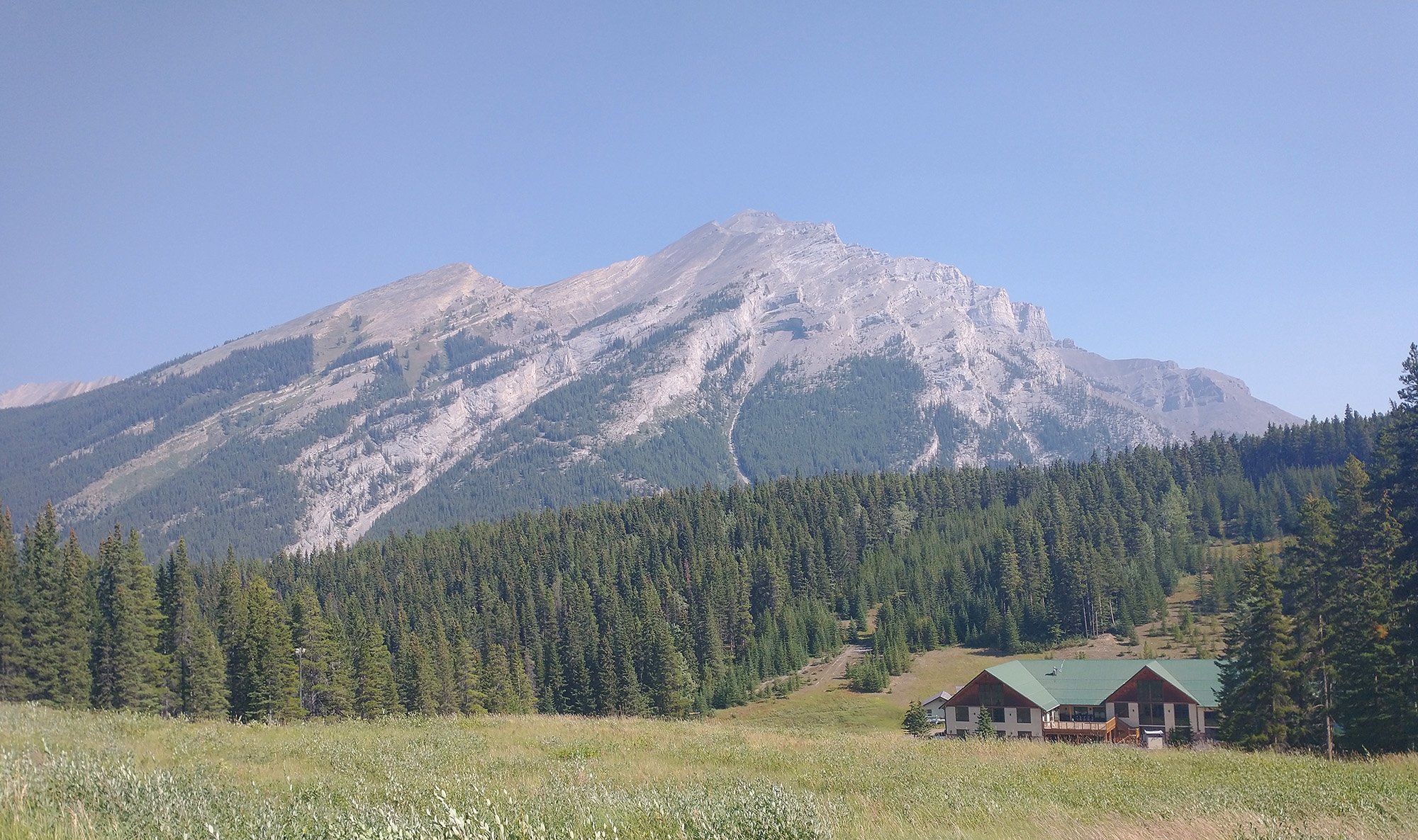
Top of the hill here. There's a ski/hiking area.
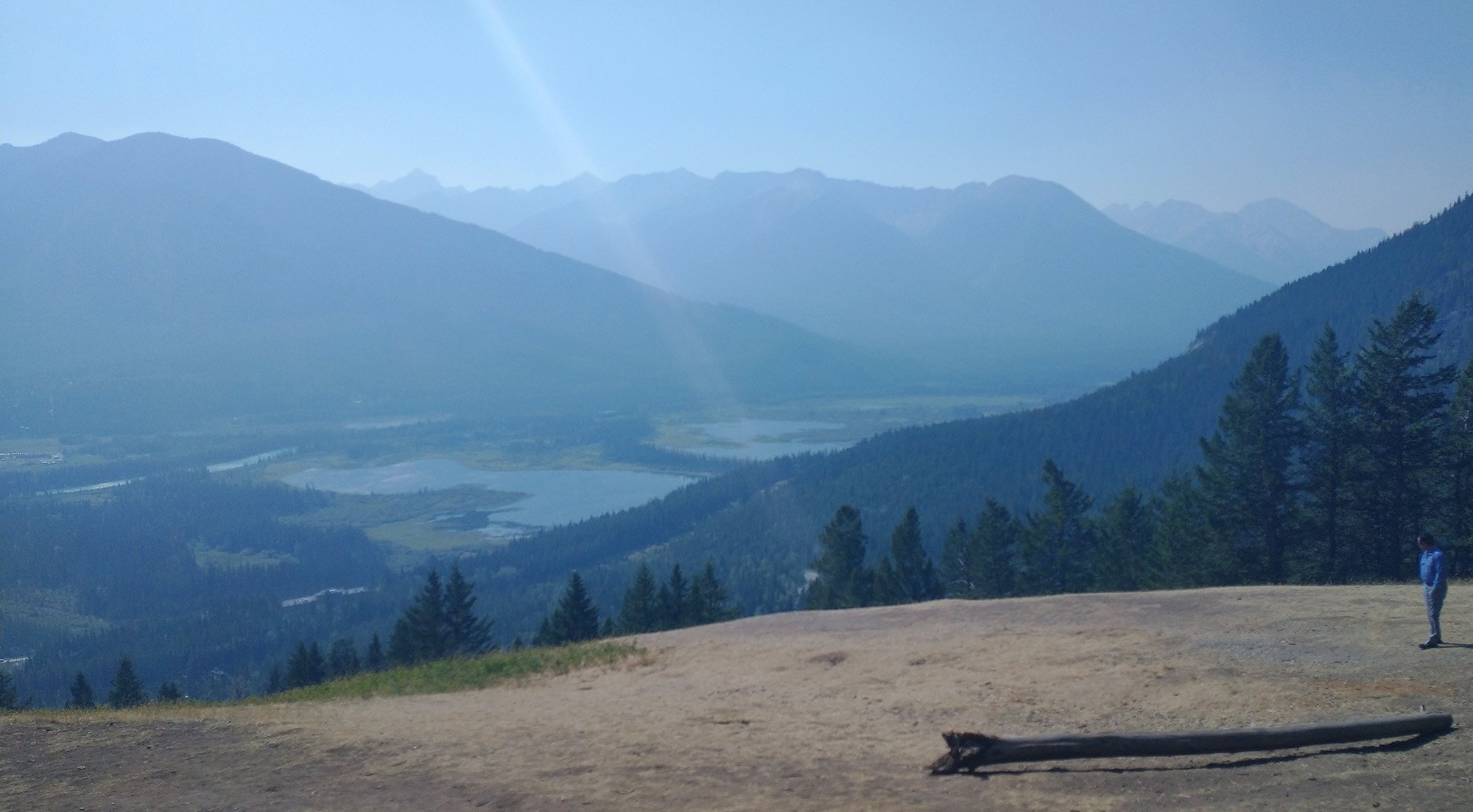
You can see it was still a big smokey in the distance. It was around noon.
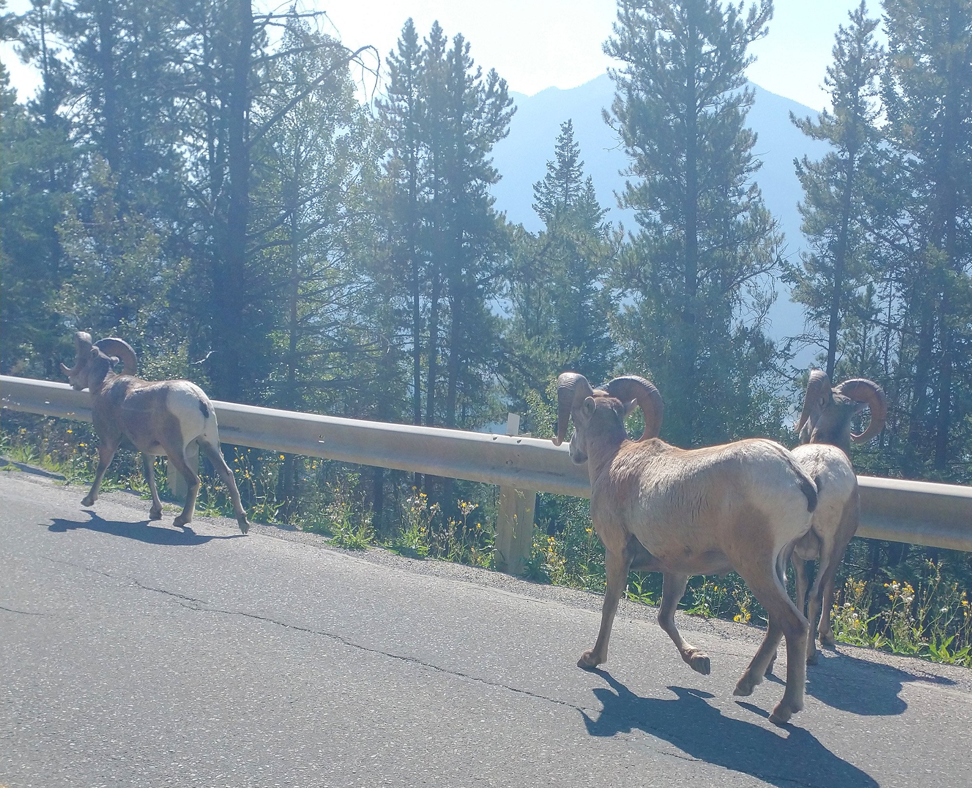
Saw the rams again on the way down as they were descending the mountain.
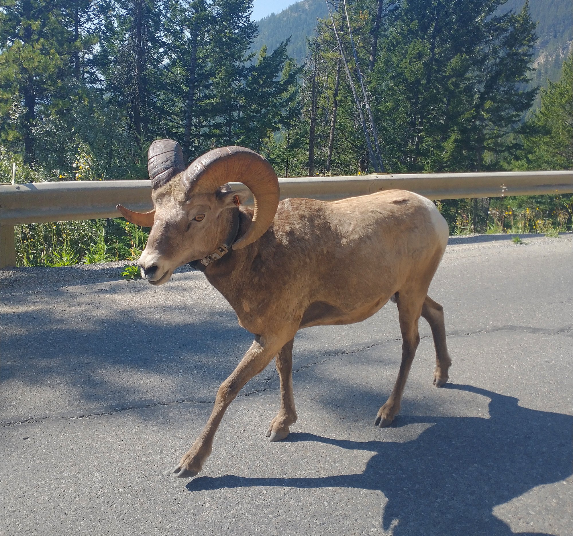
I had the phone right in his face for that one.
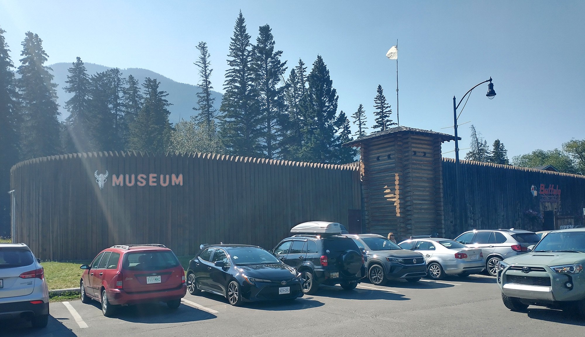
Some kinda museum. This town is ultra touristy.
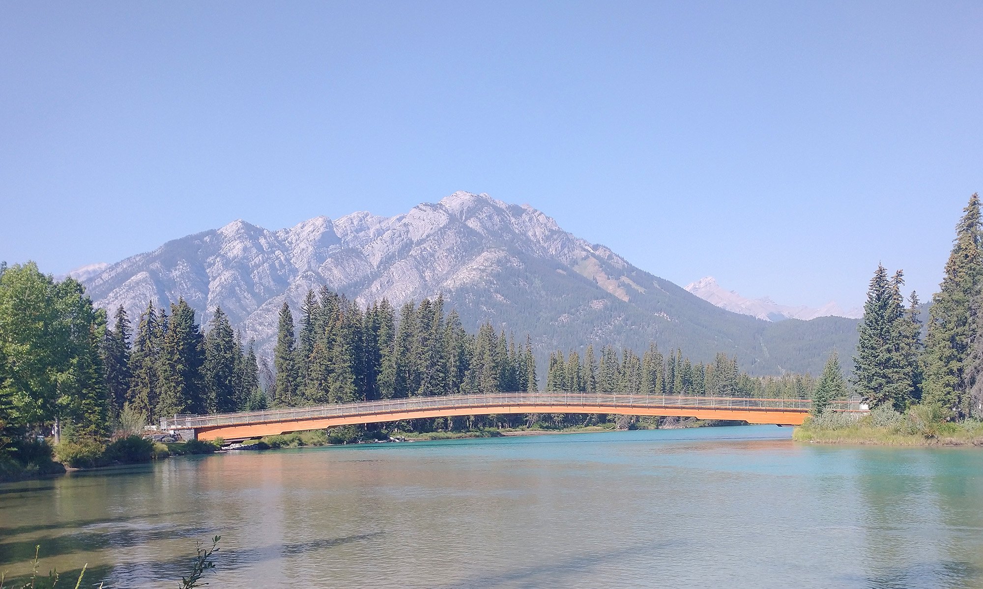
Making my way to some a little canyon. You follow the typical green rivers of Jasper / Banff.
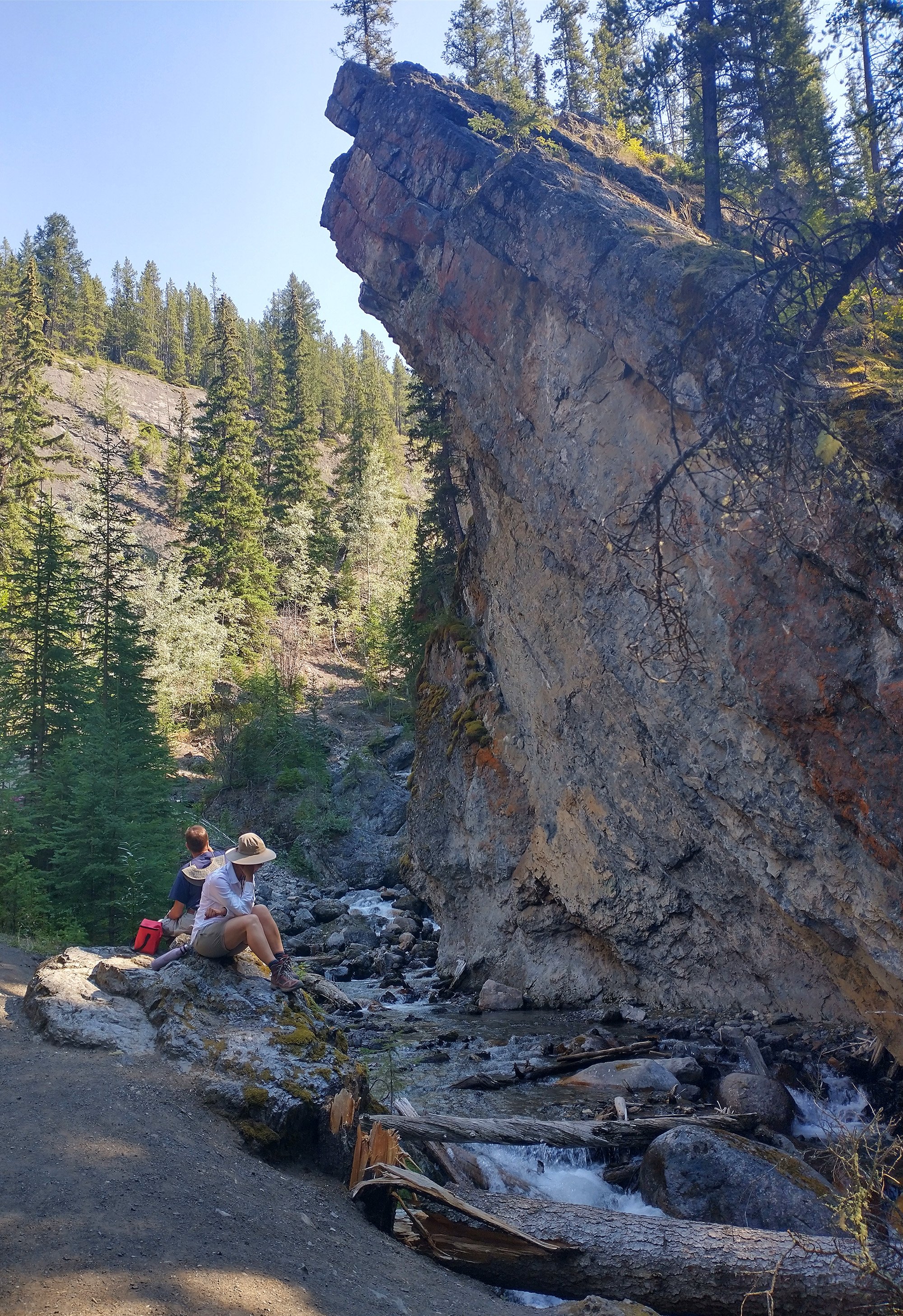
The little canyon. I hiked a little ways up and it keeps going for a while but I can't destroy my bike shoes that hard...
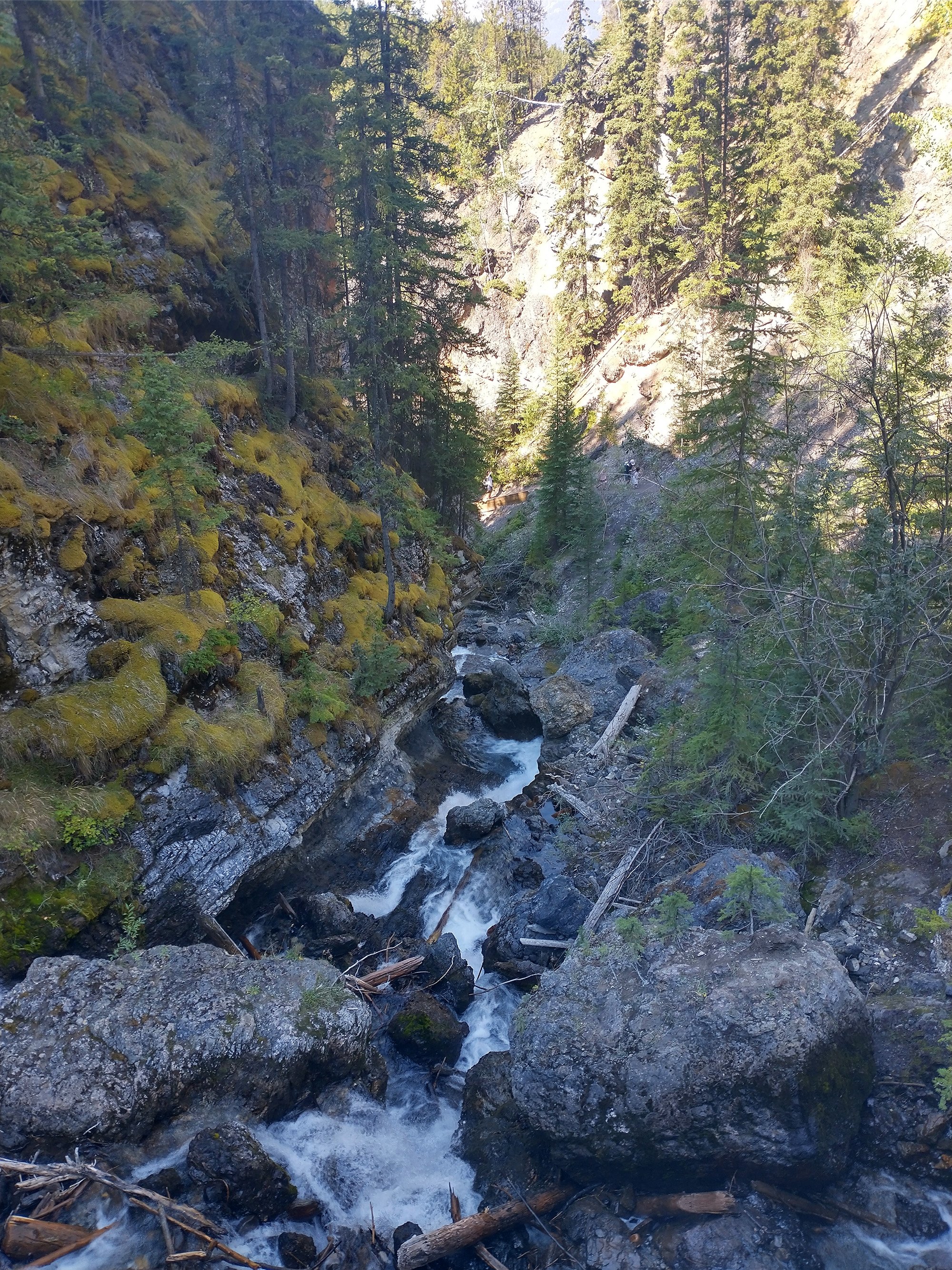
That's all you get.
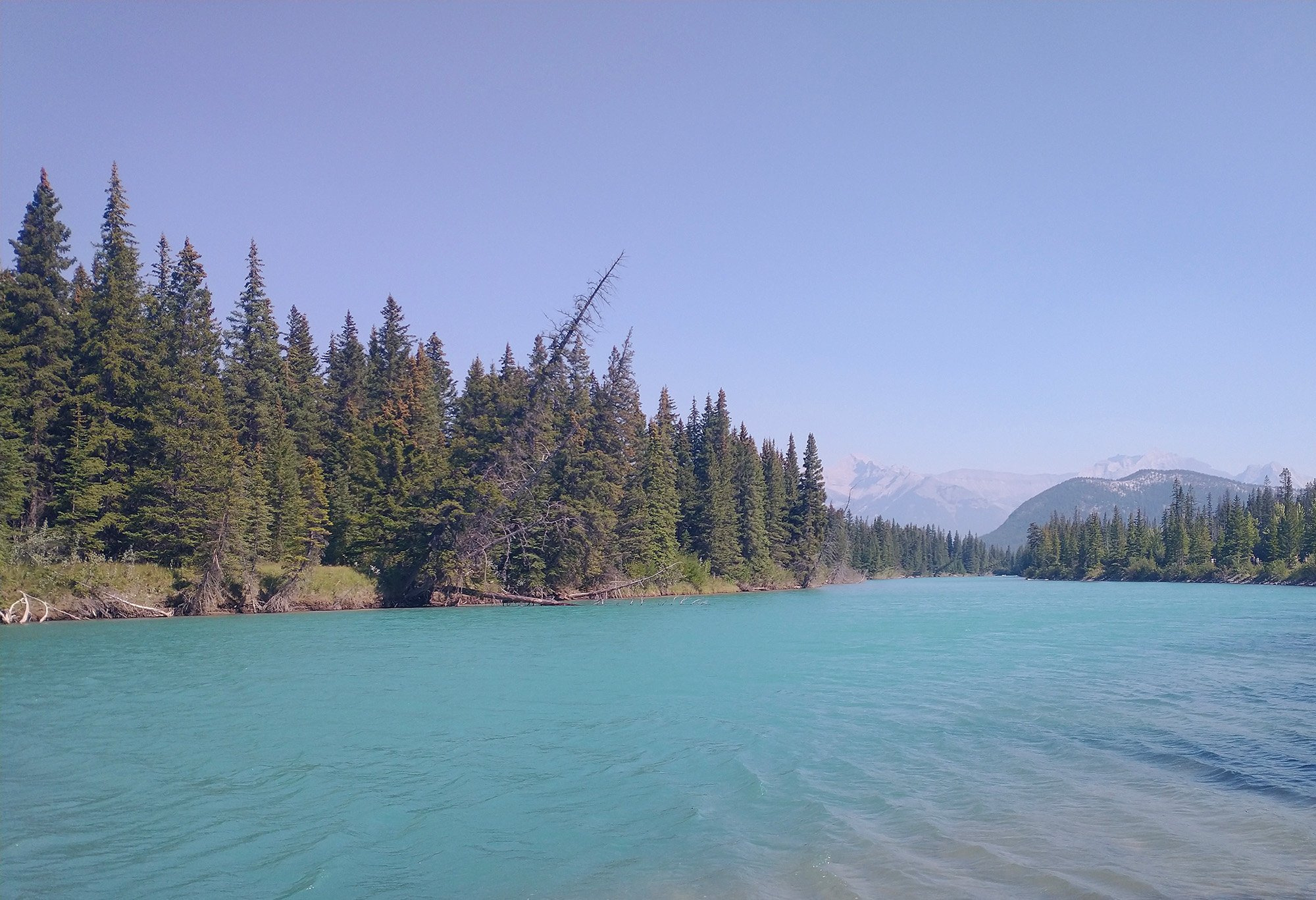
Back down and along the river. Just stunning here. People use mad filters when taking pictures to make the water look extra turquoise. GUYS STOP CHEATING IT'S COOL ENOUGH ALREADY.
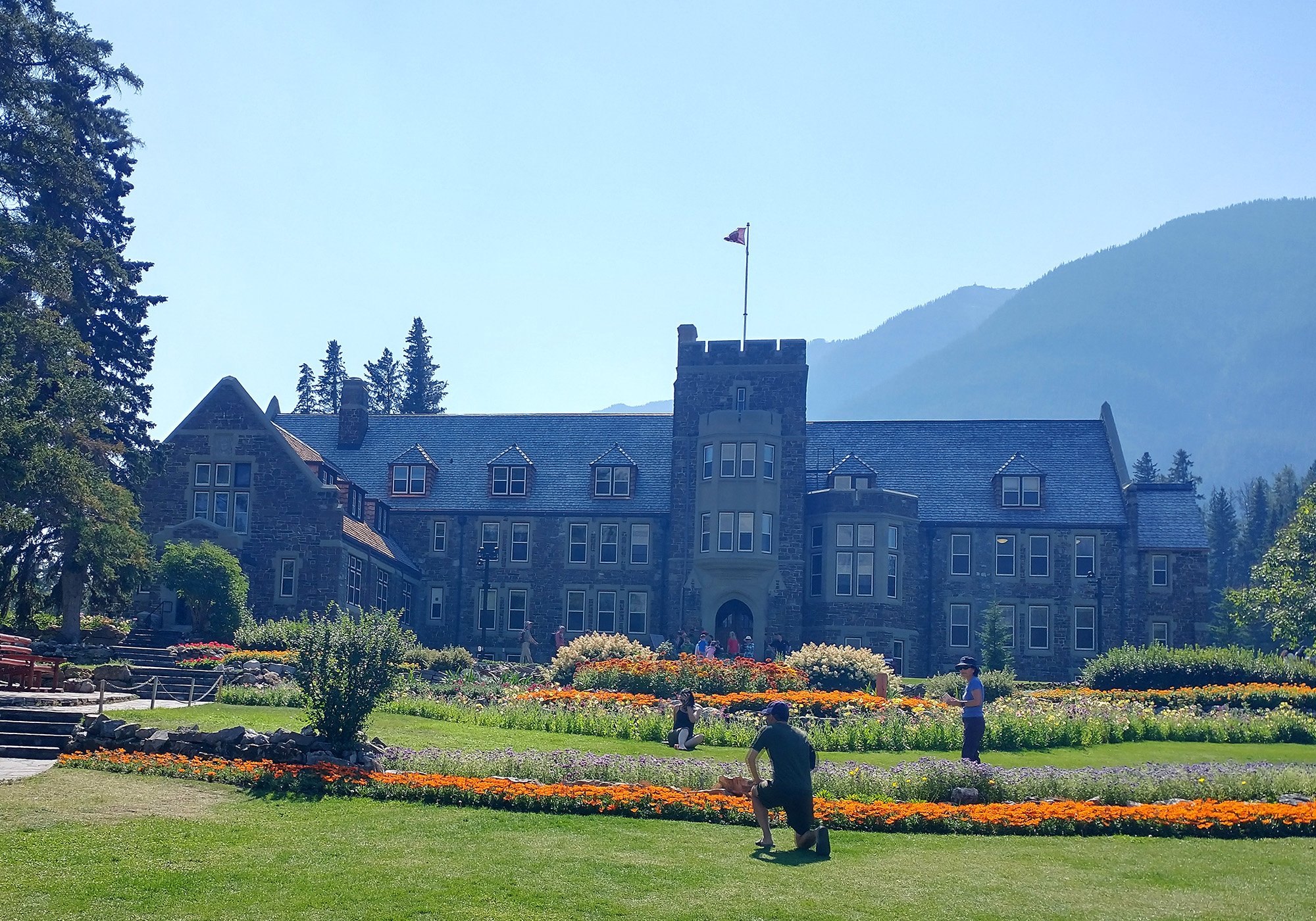
Back in town, passing by these big gardens.
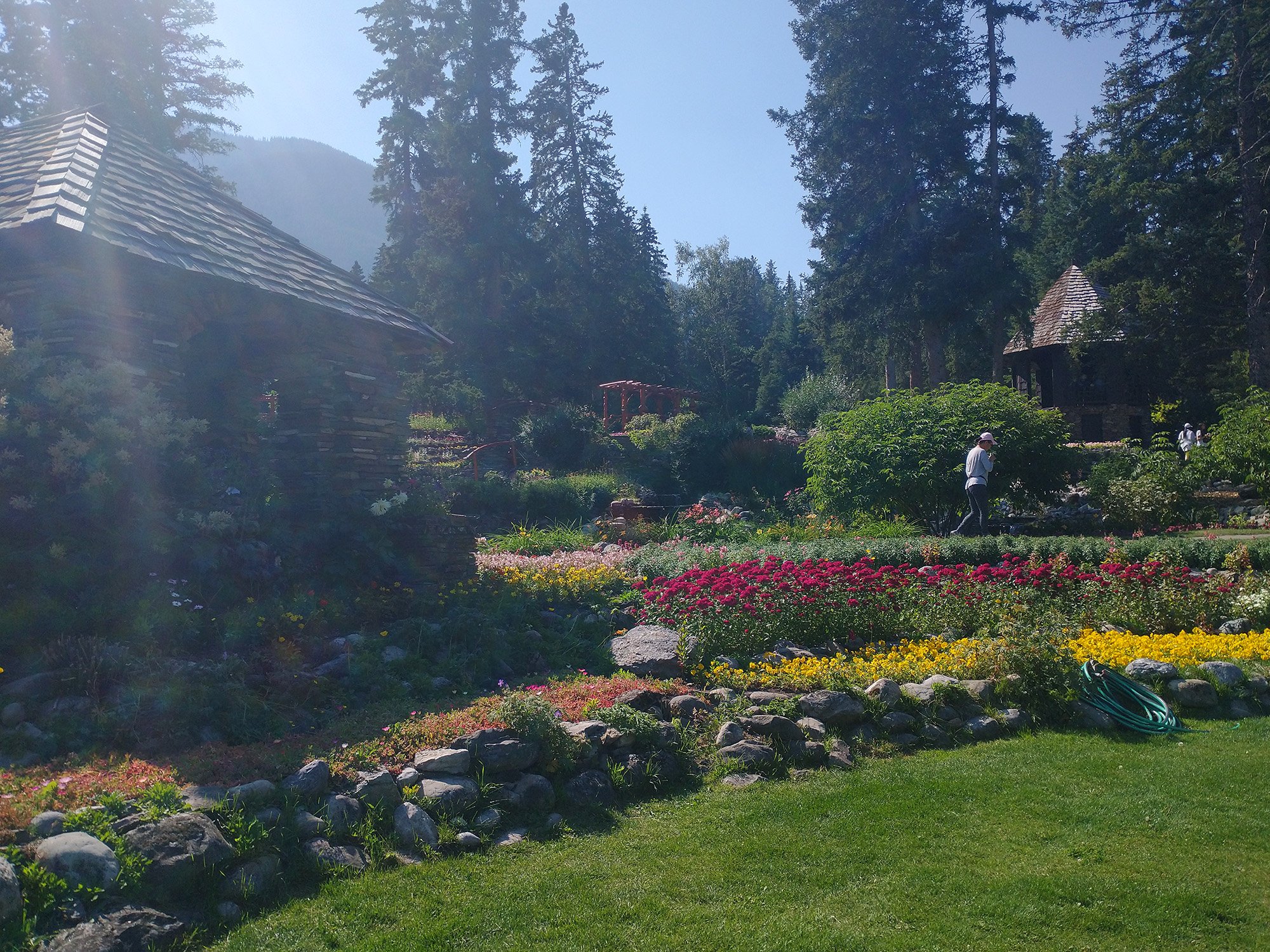
Tons of people prancing around taking selfies and having picnics.
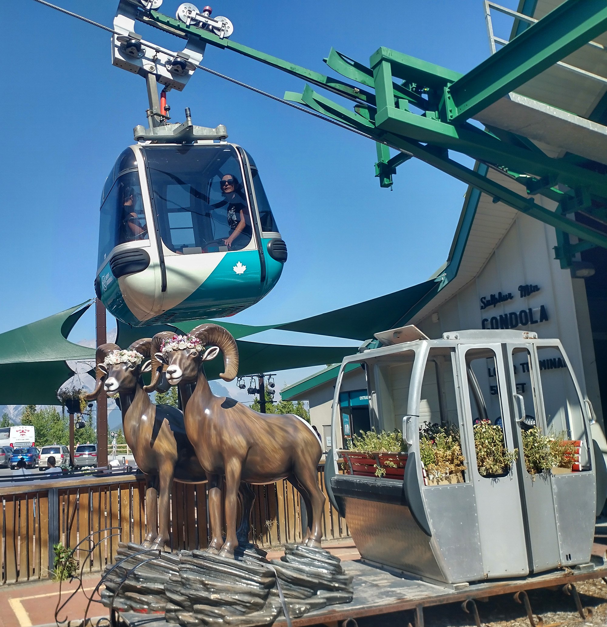
There's a gondola here as well! If I ever come back I might be tempted but it's ludicrously expensive around here.
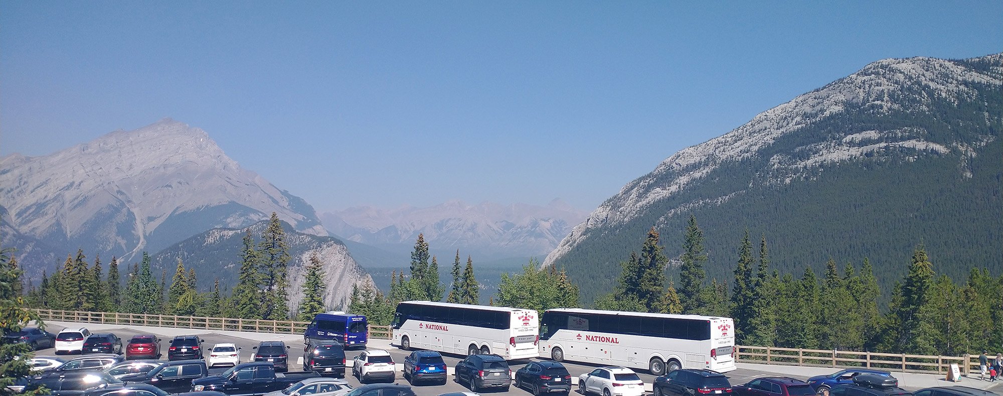
One of endless little vistas where you can drive/ get bused to. So many buses full of Chinese tourists today.
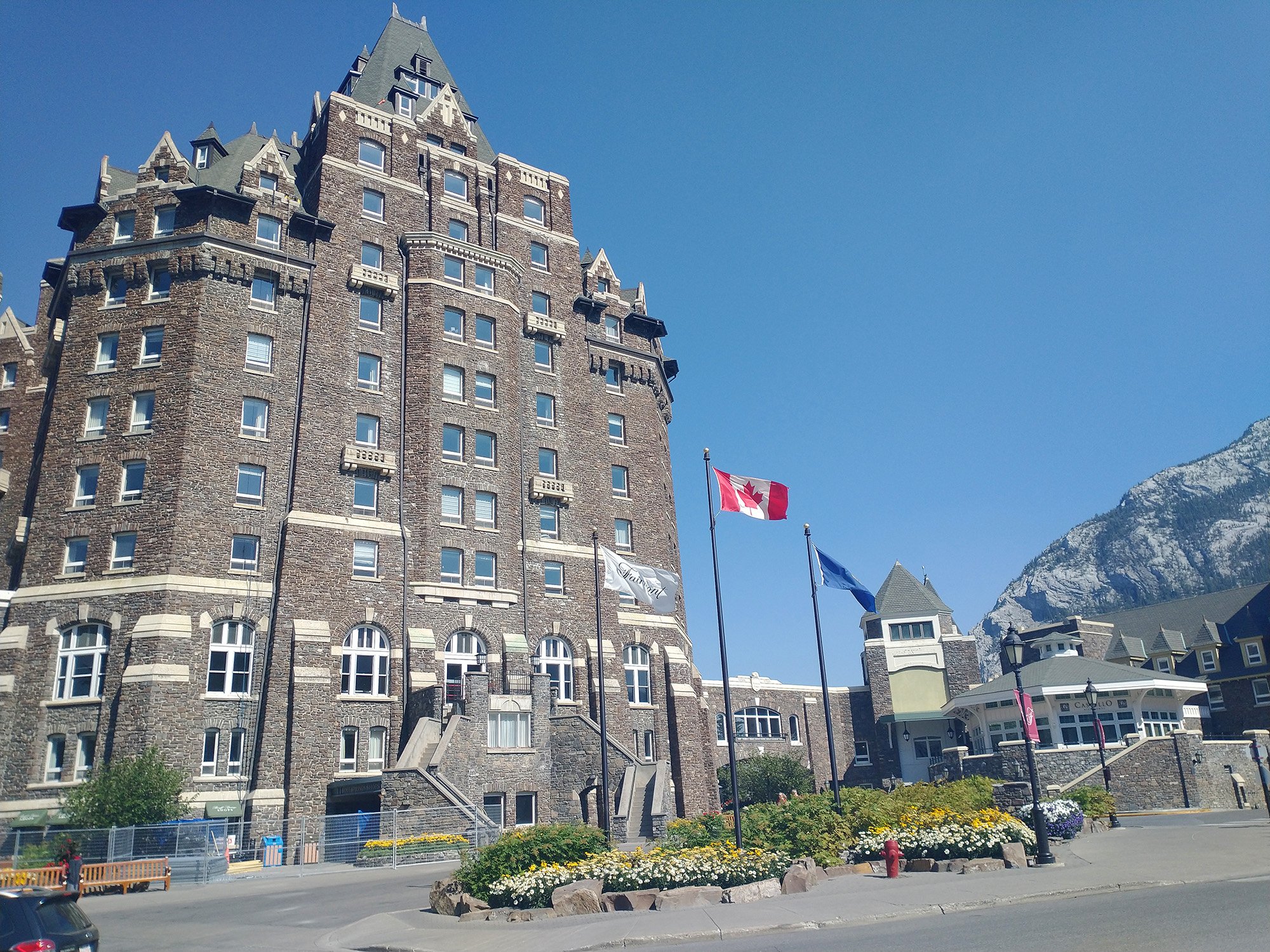
Another area of town with this huge castle hotel thing for rich bastards.
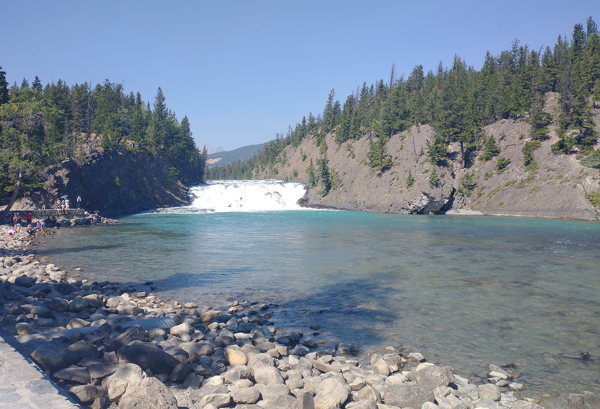
These falls are in the same area as the castle. Also packed of course.
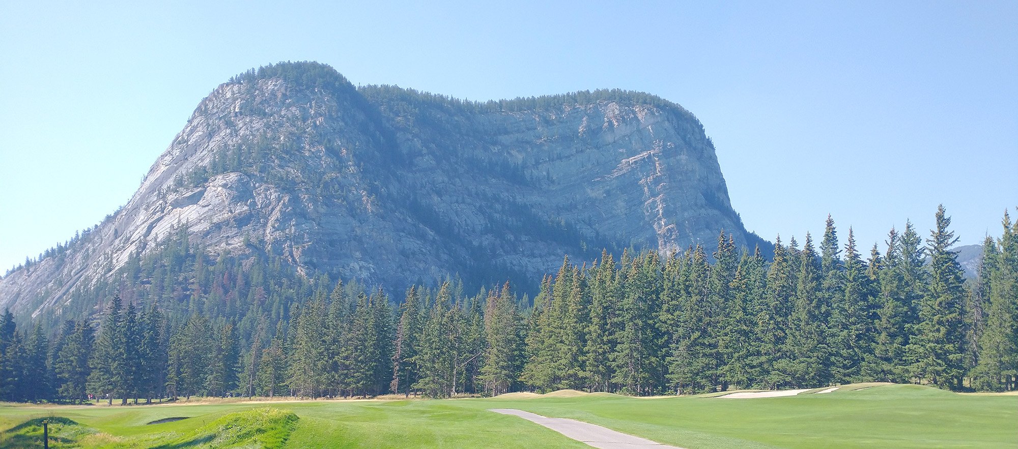
From the falls you can do a little loop along a golf course. Pretty epic golfing there, dang!
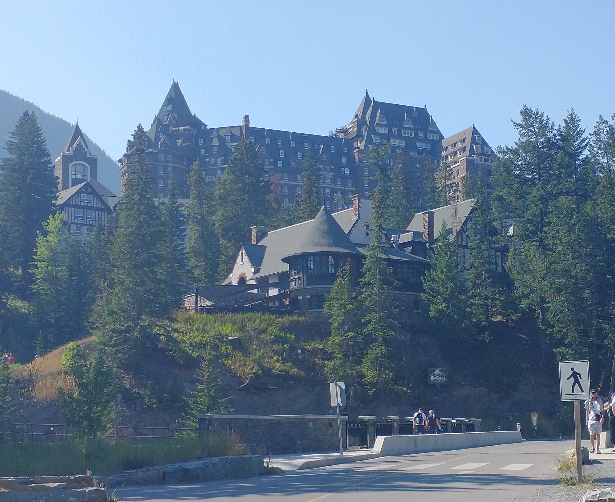
Looping back to the castle.
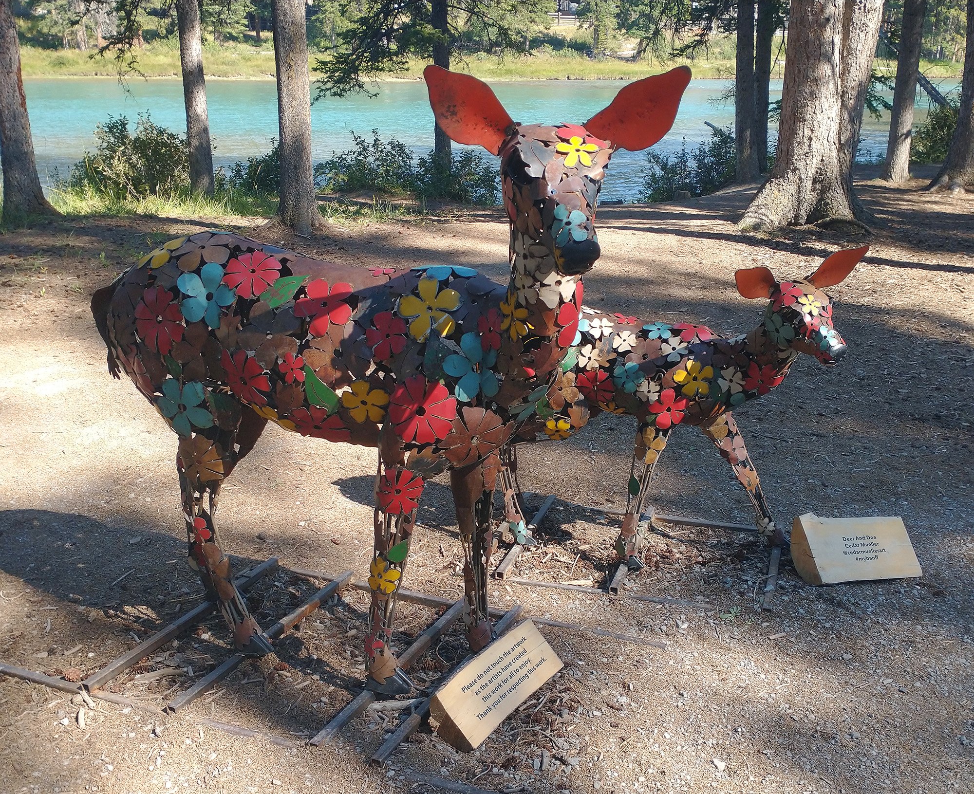
Then followed the river next to the falls. There's a bike path with a ton of sculptures like this along it! Very cool.
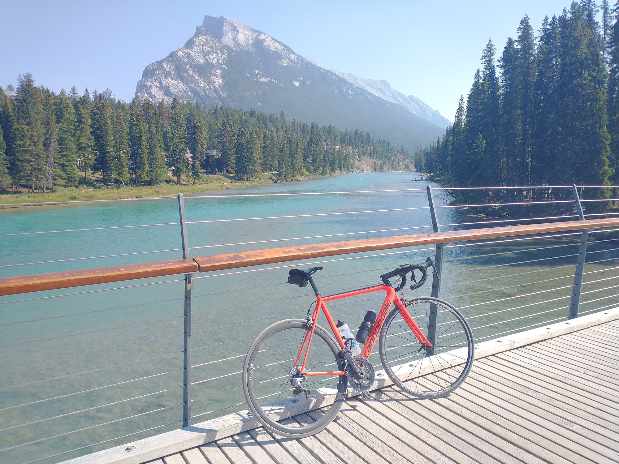
Crossing the river to start climbing up Tunnel Mountain.
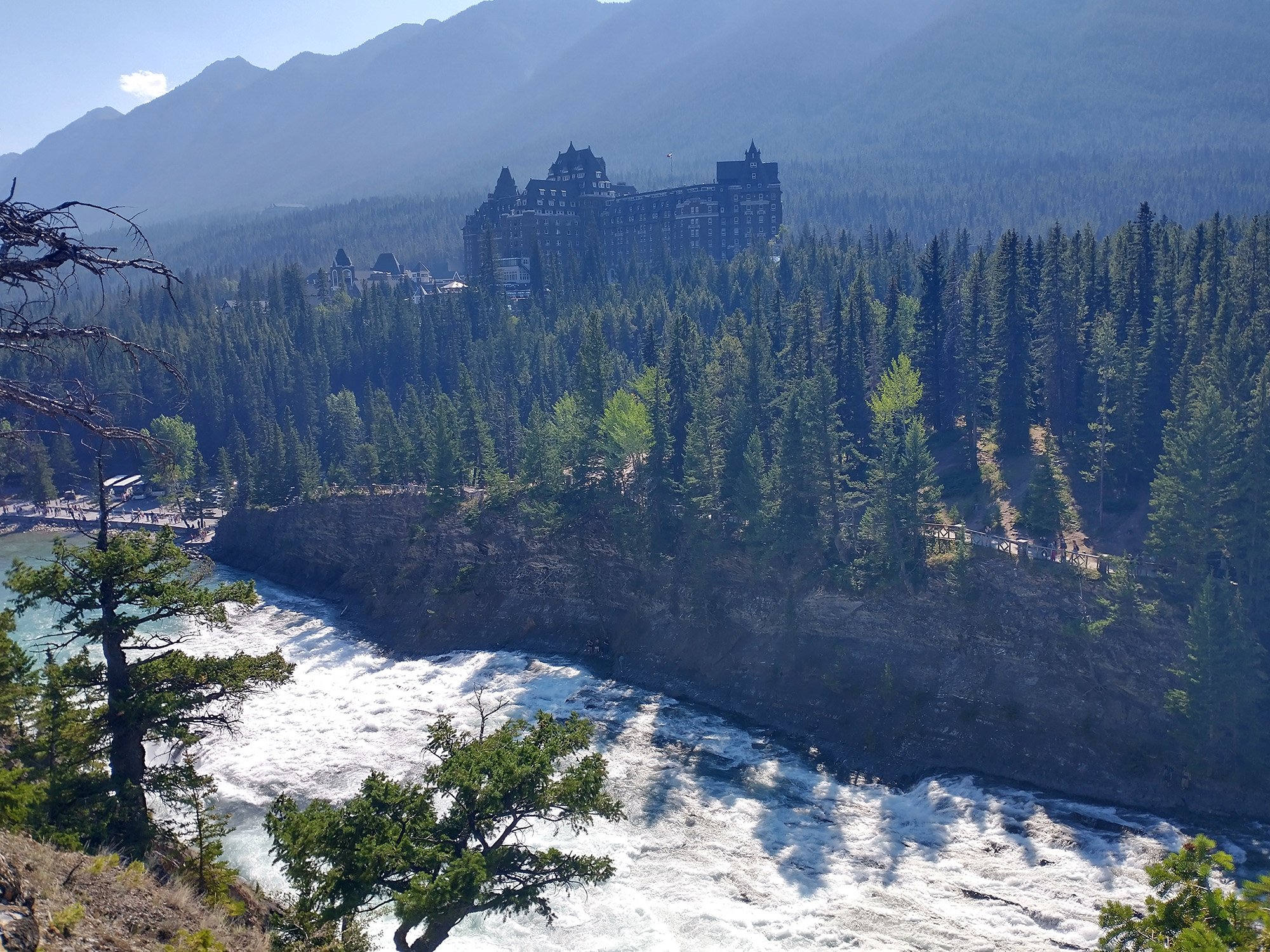
A view of the castle from the other side, halfway up the climb.
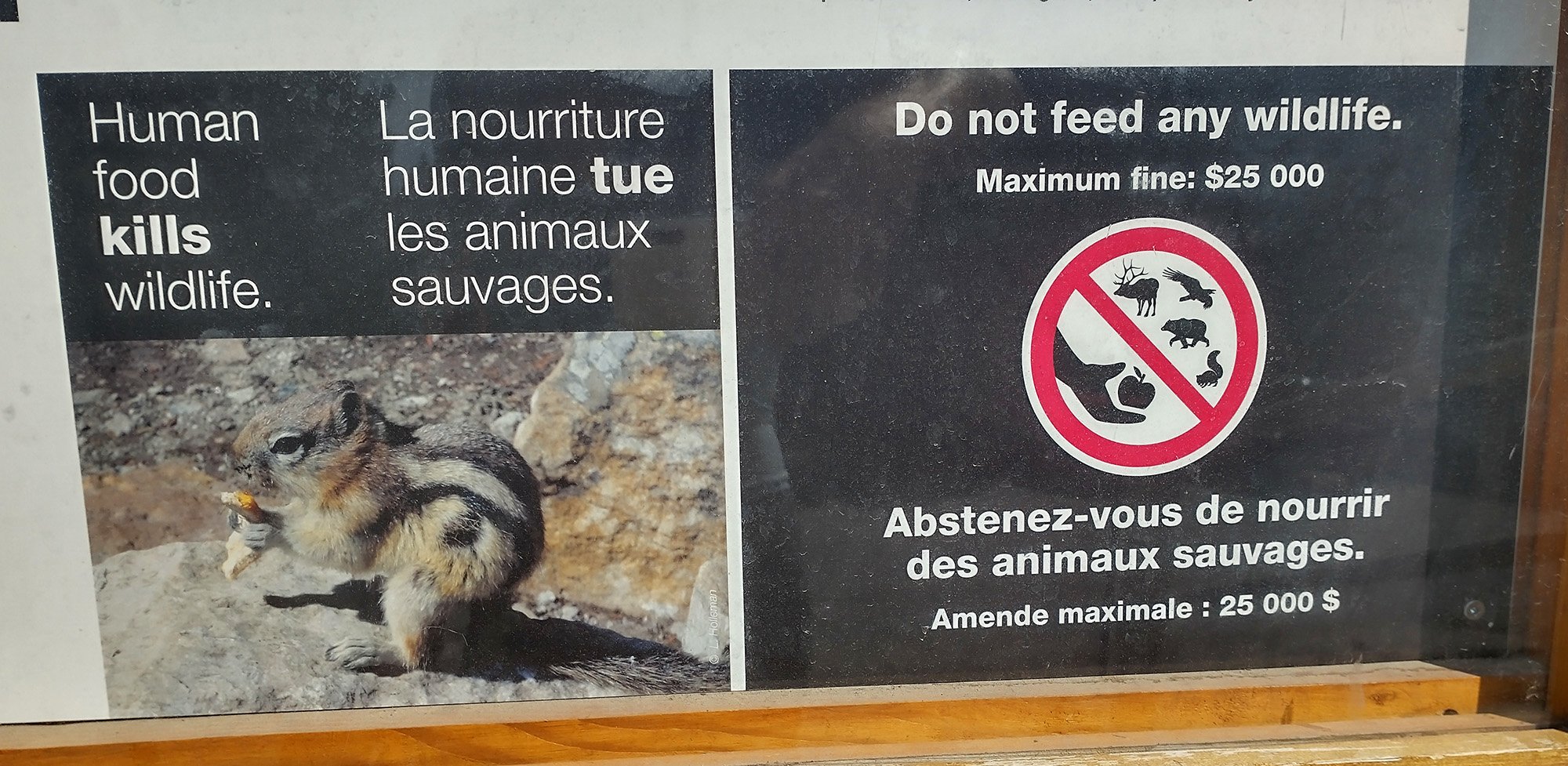
Imagine going to jail for this. Imagine. For a dumb squirrel that choked on your cheetos.
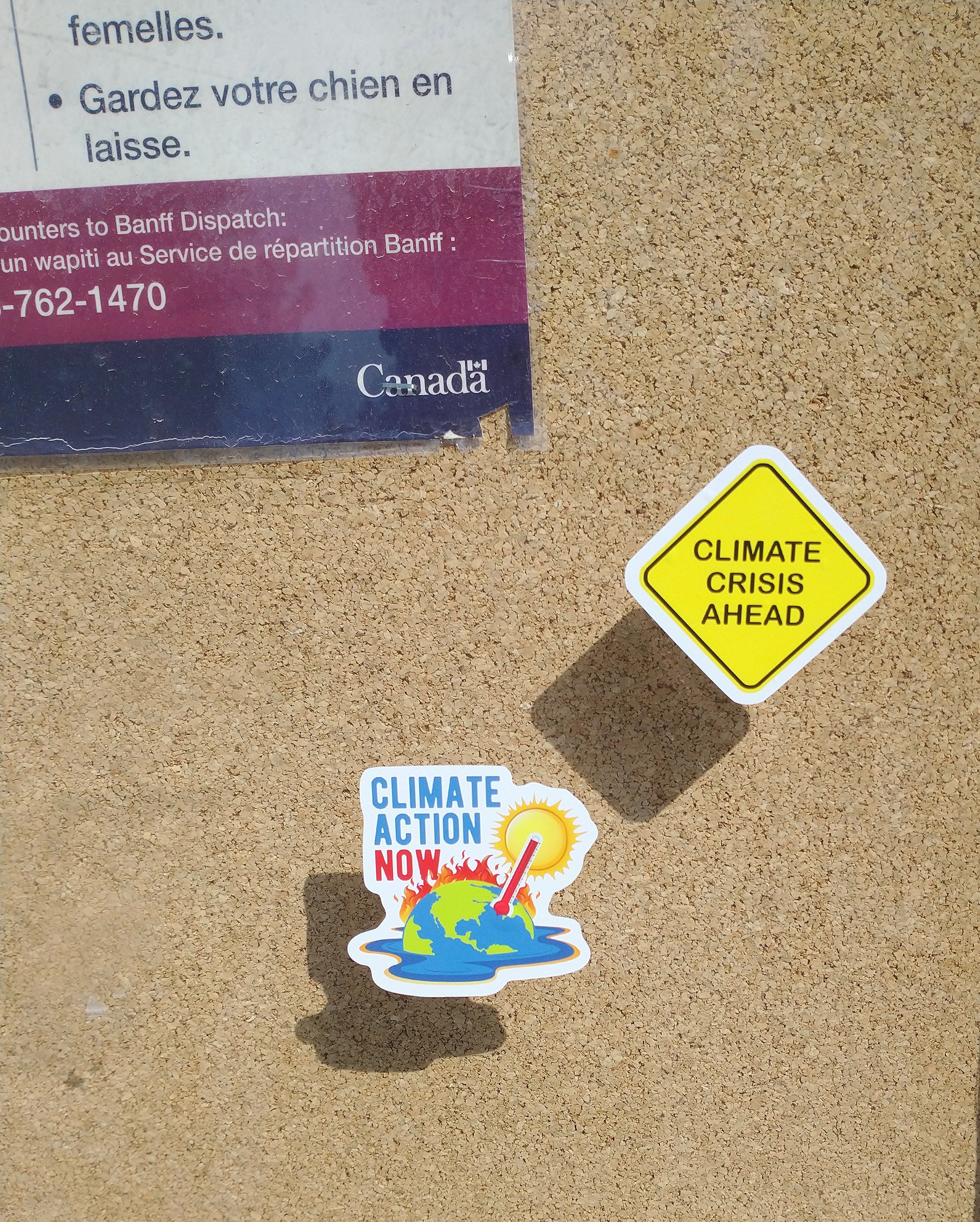
Fight climate change by flying out to Banff and putting little stickers on stuff!
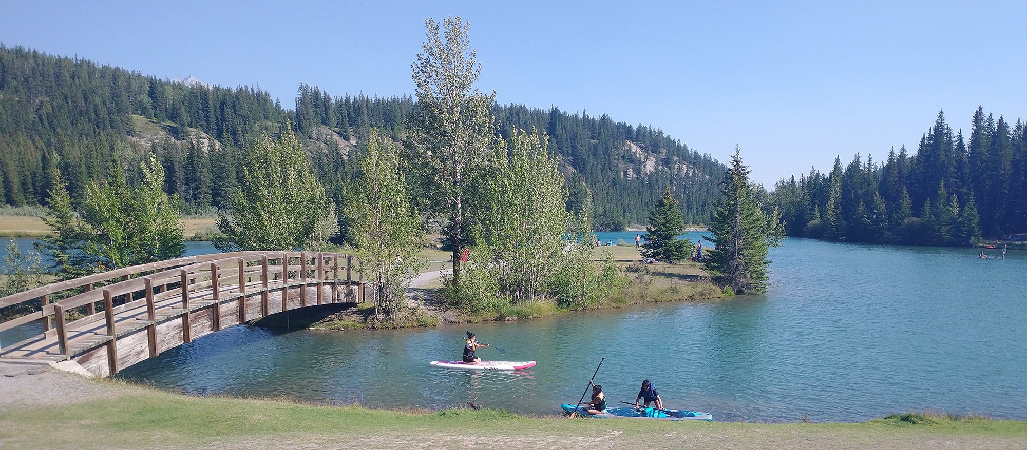
Back down the mountain to do the last stretch of the ( now long...) day towards lake Minnewanka
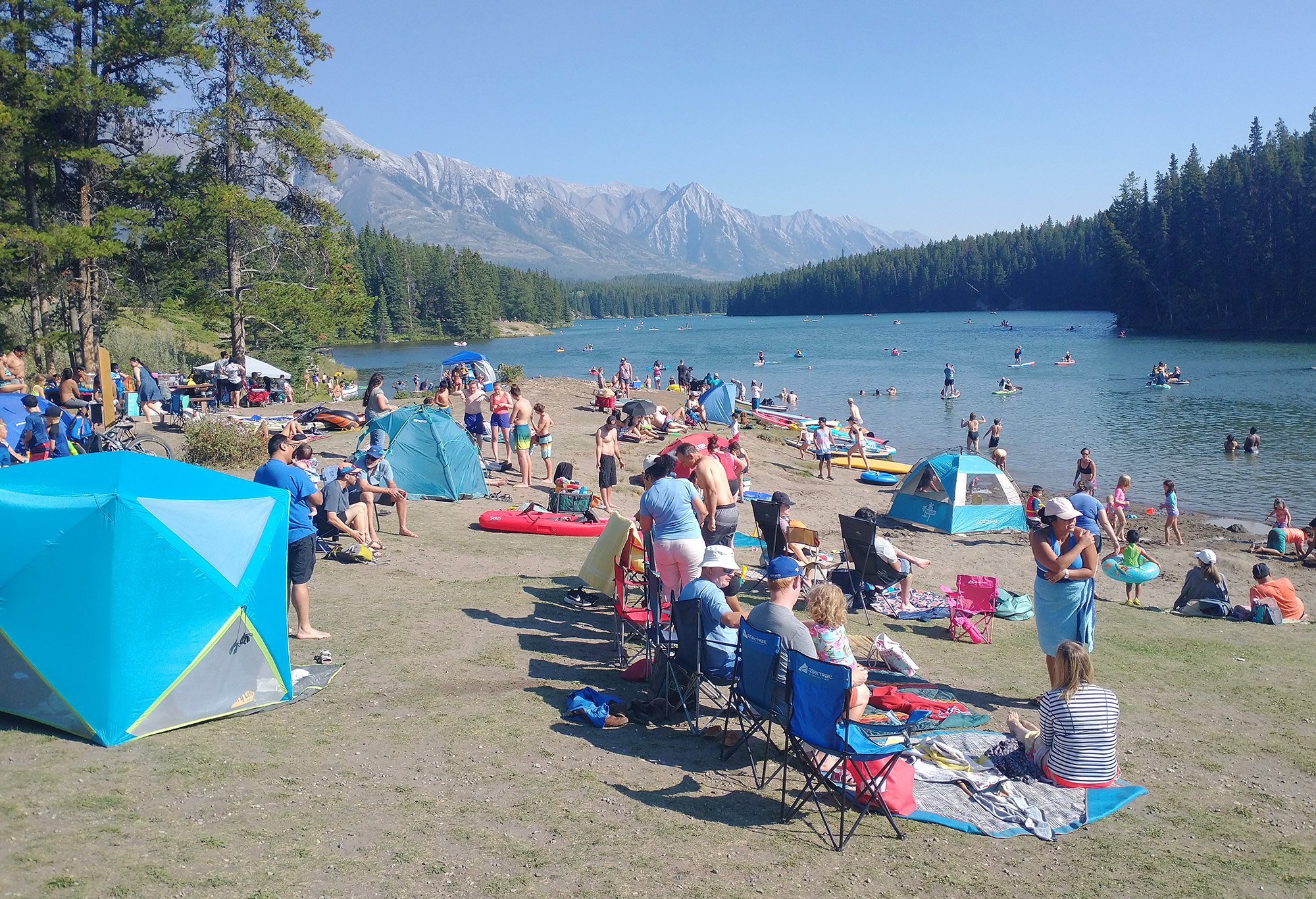
Passing by a few beaches/campgrounds packed with tourists. Lazy tourists who aren't biking and cool like me.
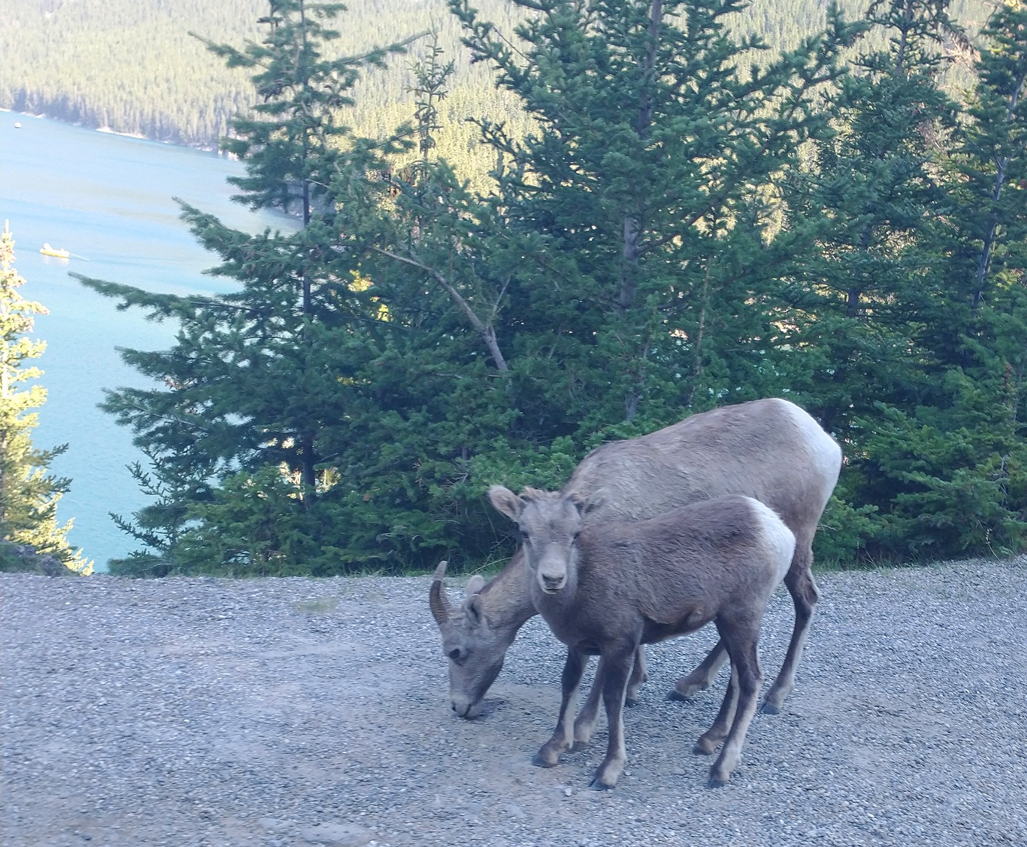
A baby ram with his mom, right on the road once again. Didn't walk up to them because I don't want Justin Trudeau to arrest me for scaring goats.
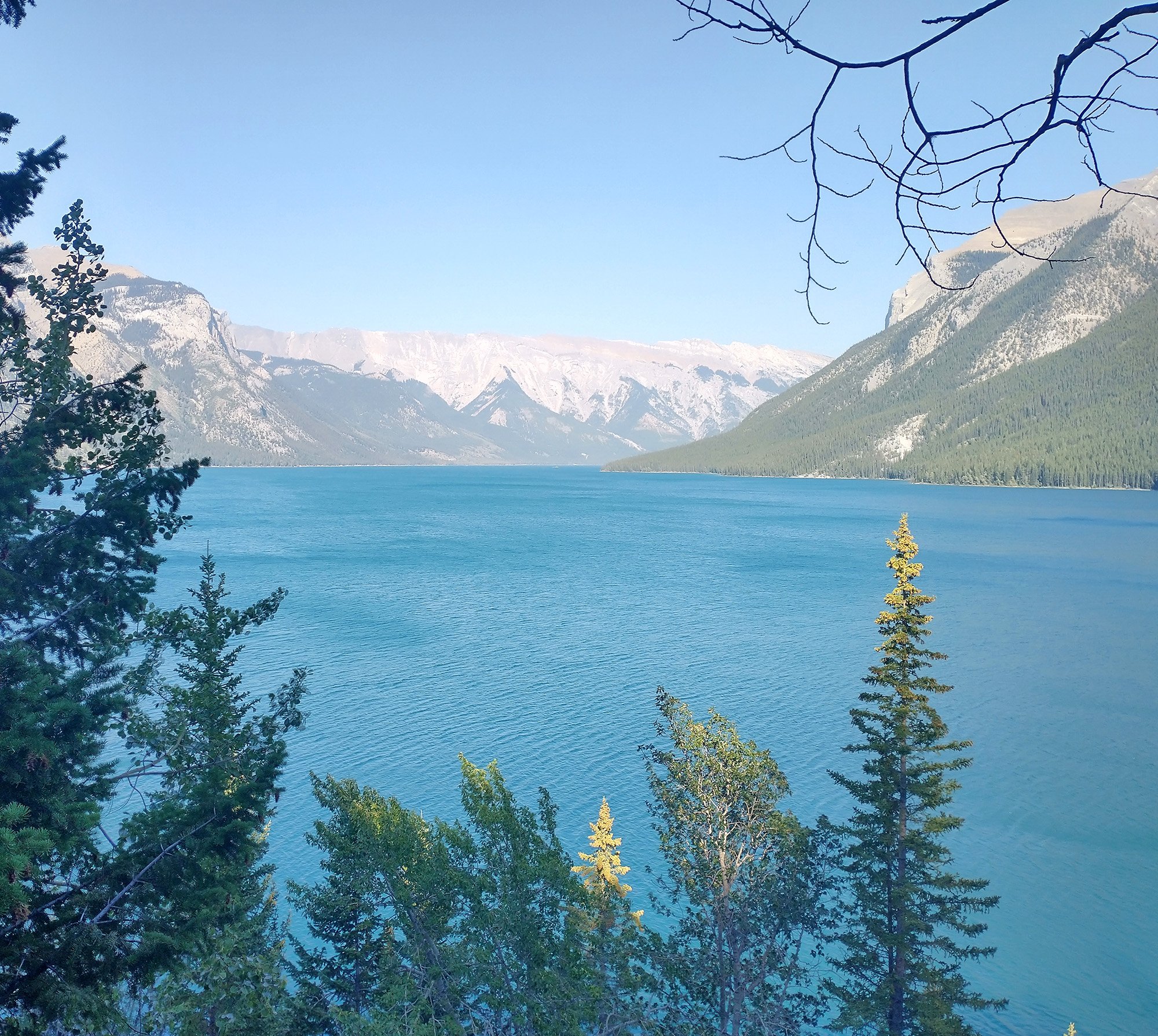
Finally made it to the lake!
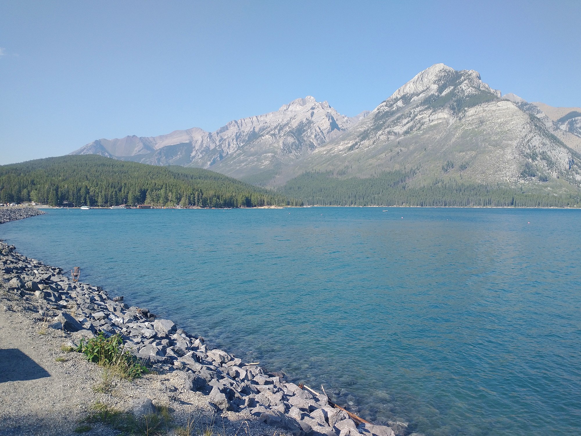
Was very tired as these days of constant stop and go to take pictures are very long.
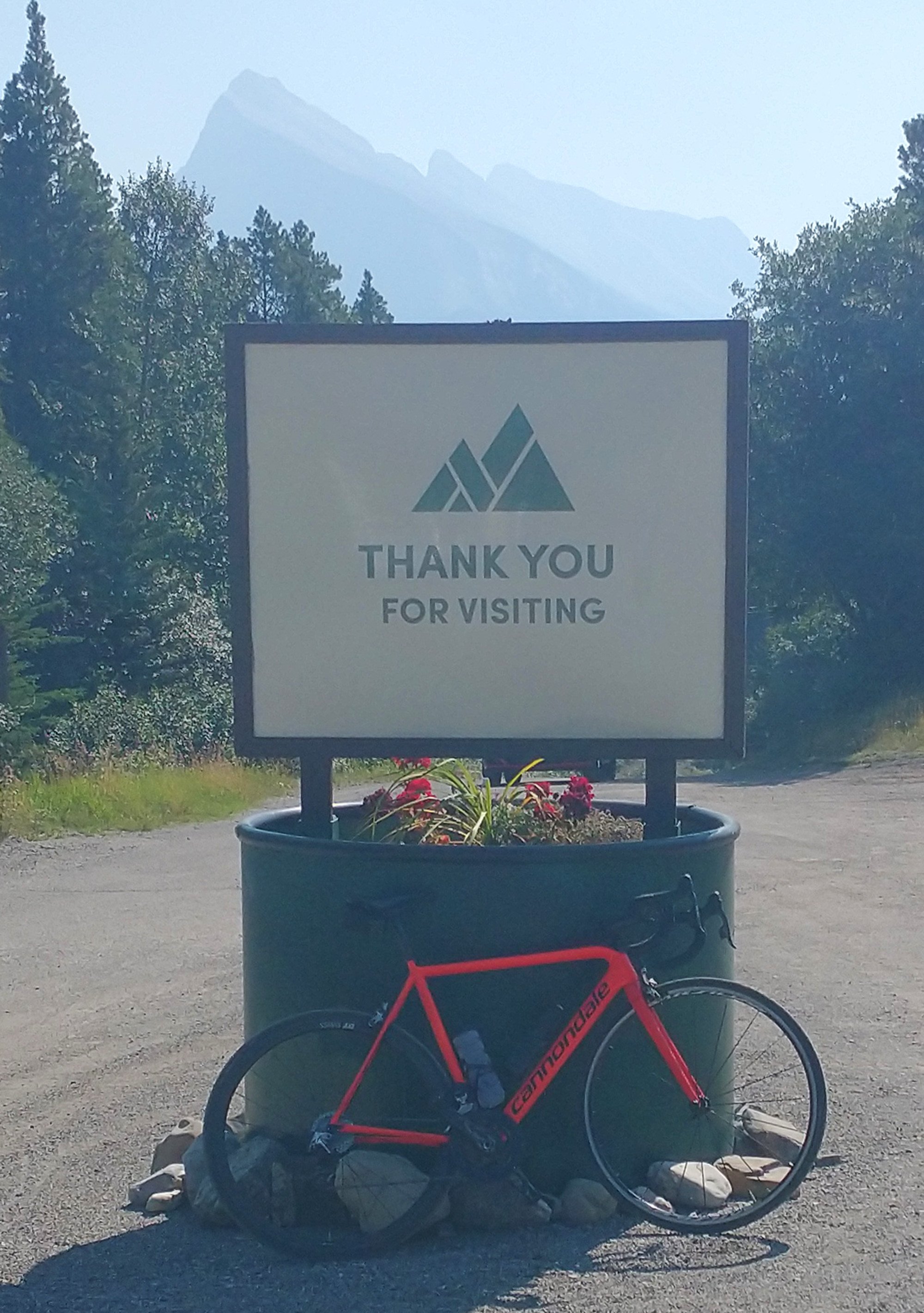
I'm going to use that as my page ender now.
That’s week 16 over. Week 17 should be the last, at least last of the planned trip. May dip to USA for a little one week bonus! I’ll have been gone almost 140 days in total doing this car camping adventure. I didn’t want to leave all the months this was looming over me and now I’m a little bit sad to go back, especially since the weather is still tolerable.
But my nutsack skin. It hurts. It is tired. Beaten. It’s time for it to rest.
If you made it this far, feel free to join my Instagram and/or Strava!
