Touring Canada Week 9 - Cabot Trail and Newfoundland

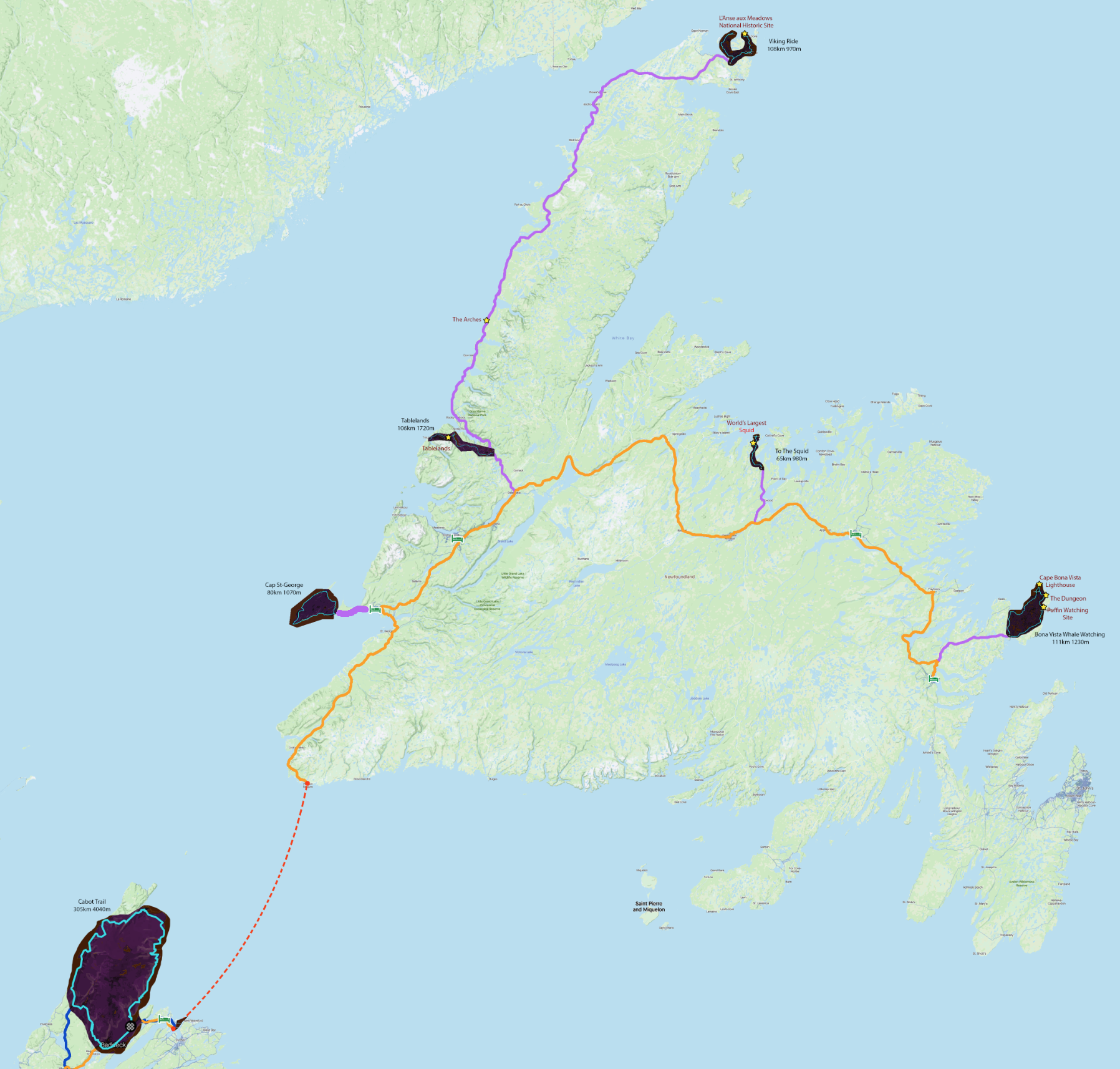
Biggest week so far this trip, in terms of planning, driving and cycling. Really trying to get everything out of Newfieland that I can, because not sure if I’d ever come back. It’s beautiful but not super bike friendly in that you almost can’t plan any loop that’s under 100km and most being in the 160-250km range. Otherwise you’re relegated to out-and-backs, usually from the center main road to a coastal town and back. It’s also expensive to get here, 160$ each way for the short ferry and 350$ for the long one.
Going by plane means no car, unless you rent one for a week. Now we’re talking about a 400$ ticket, 100$ to bring the bike, 1000$ for the car, 300$ of gas and 1300$+ of hotels…. That’s a 3000$ week right there.
Was nervous about attempting this. Much longer and harder then any ride I’d done this trip so far. Went to sleep early, woke up at 5am and was ready for anything upon starting, including very likely turning around. Luckily the wind was with me long enough to carry me to the point of no return, giving me no choice but to keep going! Yay!
There was a bridge out early on in the ride, which caused a 10km detour by the end. Glad I was still fresh and positive because otherwise that might have made me just quit right there…
Anyway this ride is quite epic. Doing just the part from entrance to entrance and back would also be an insane ride, with all beautiful views. Like 270km, 5000m… ANYWAY LET’S NOT TALK OF SUCH THINGS ANYMORE.
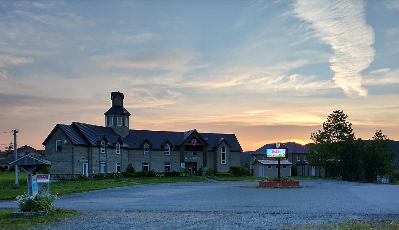
Drove 20mins to this spot to start at sunrise, which was earlier then expected. I was ready to start the ride in the dark. Good!
Bought some of these the night before to replace my Tim Hortons. Zero time to waste when attempting a ride that would take at least 11 hours...
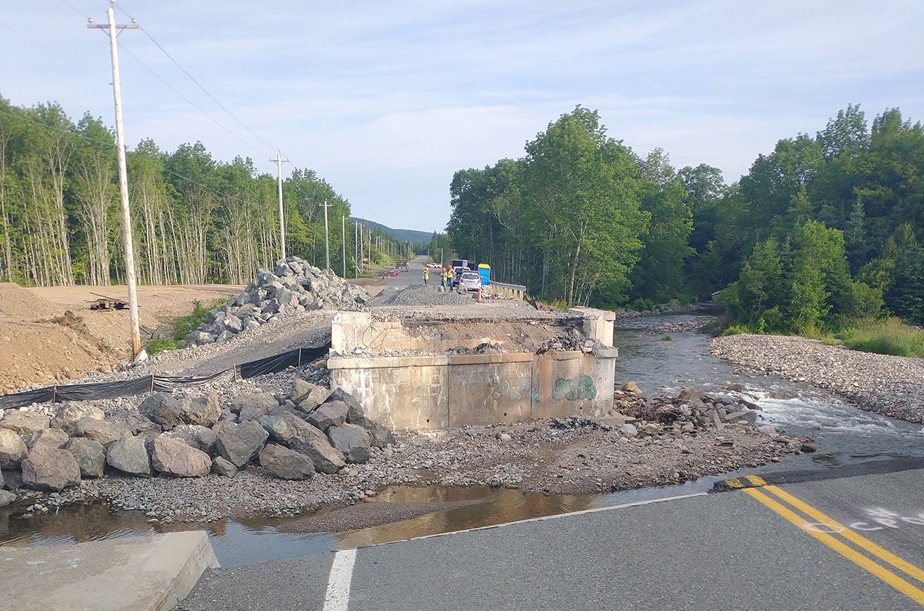
Turns out "Road Closed: Local Circulation Only" sometimes means "The Taliban bombed the bridge again, this is a legit detour for once, go away".
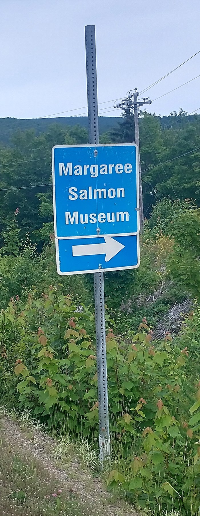
One of my biggest regrets. What wonders did the salmon museum hold? We'll never know.
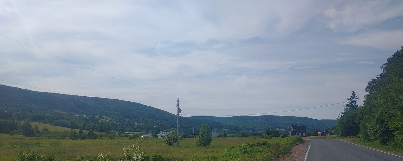
The start of the loop is pretty much 90km of ho-hum riding in the woods. This is the best view of that segment...
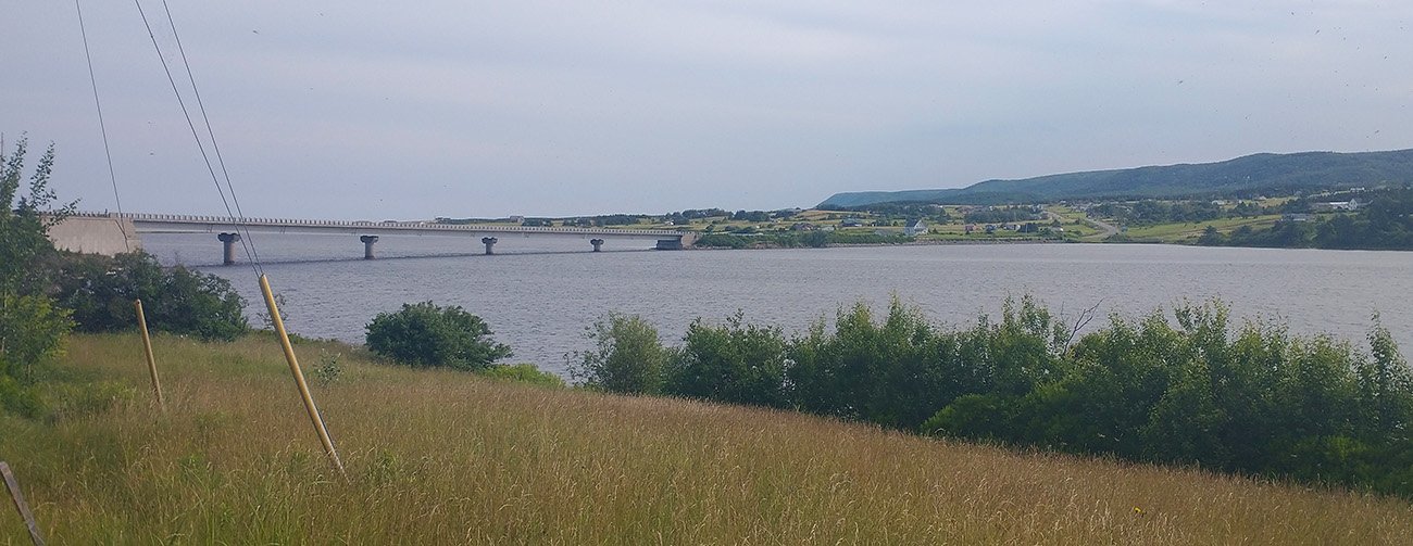
Once you reach the coast it starts to get promising though.
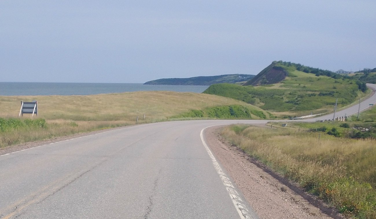
There's about 35-40km of going through small seaside towns before you enter the actual Cape Breton park...
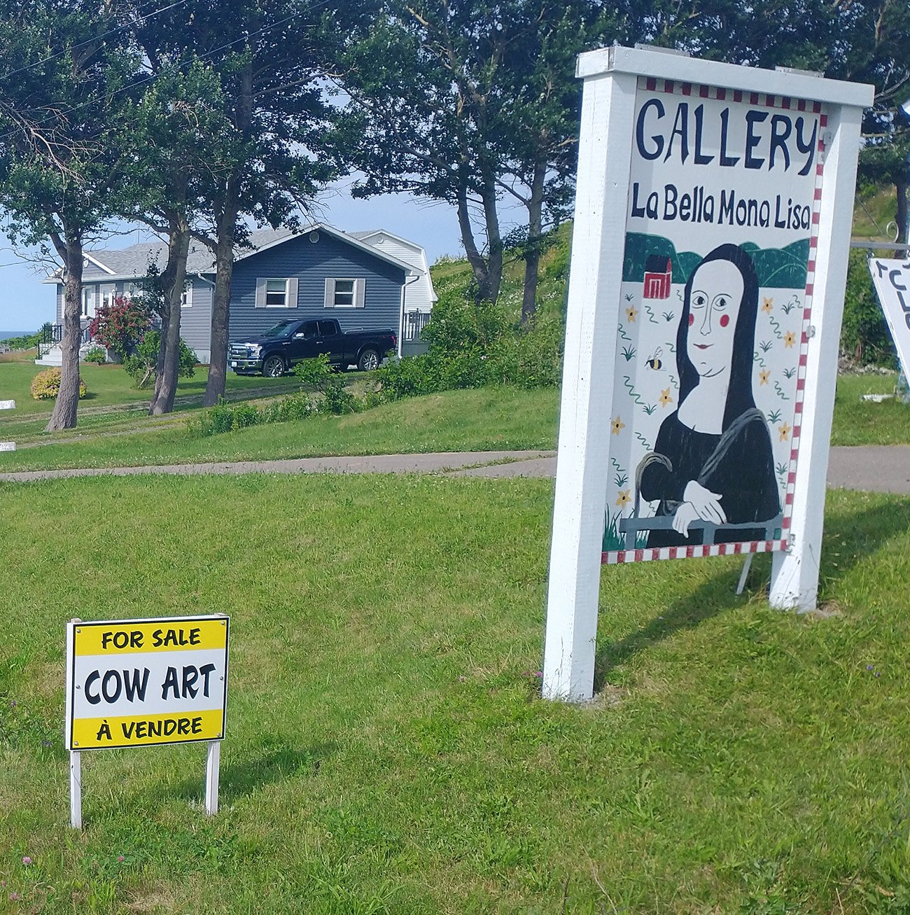
What... what is cow art? Why?
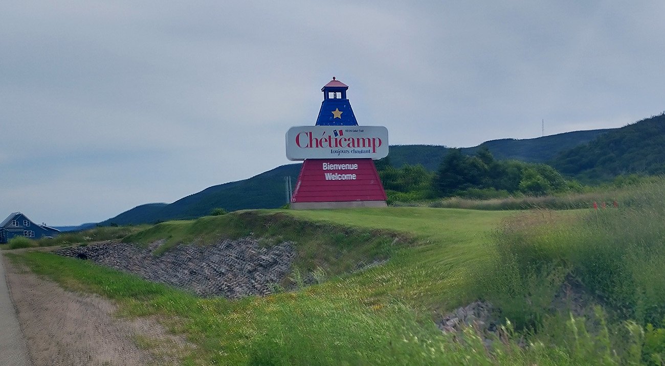
Nice that people get creative with town signs.
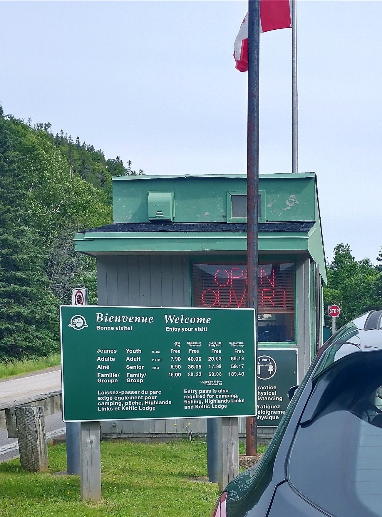
Literal trolls.
Western entrance to the park. The entire cape is just cliffs and beaches like this.
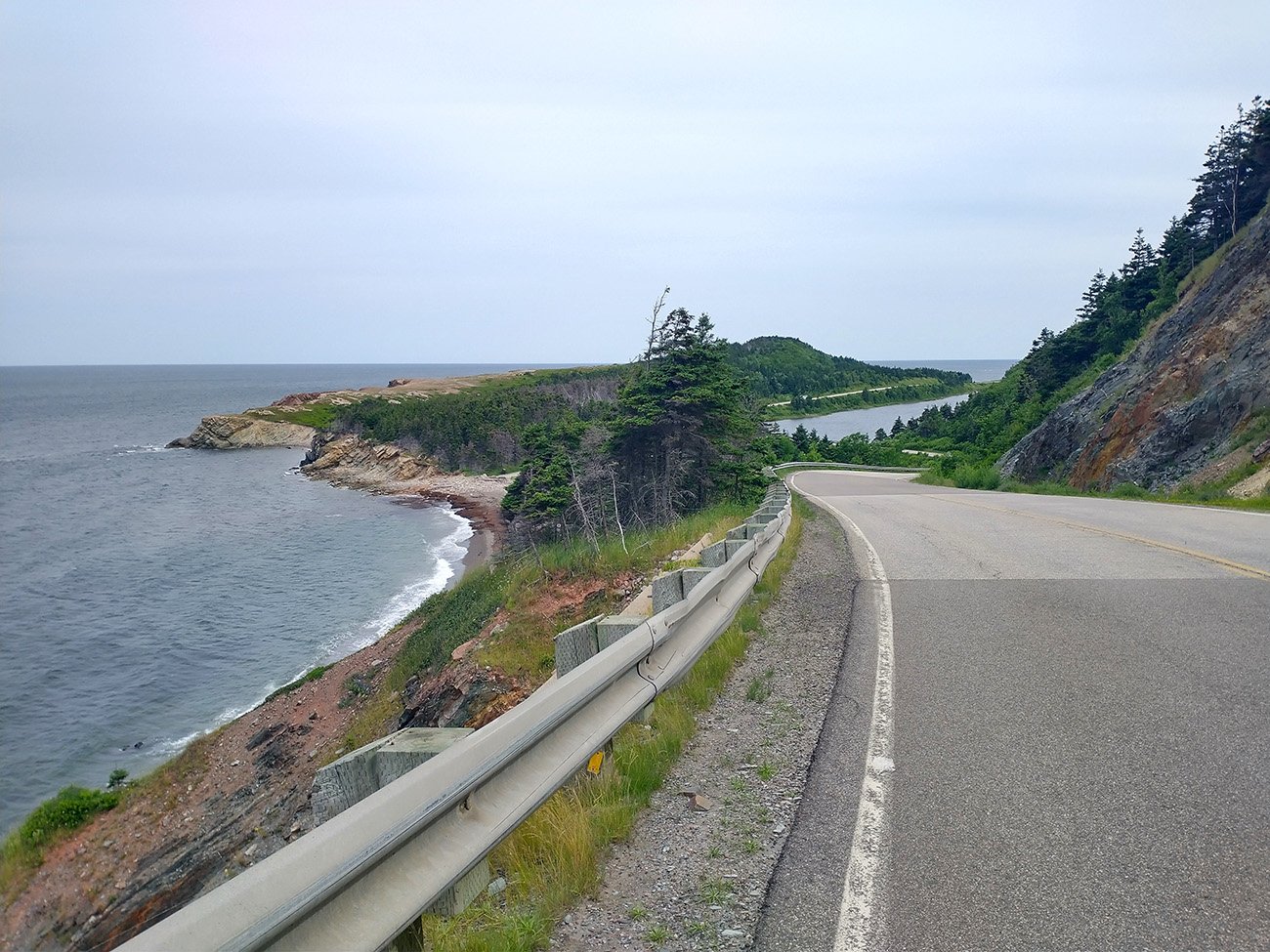
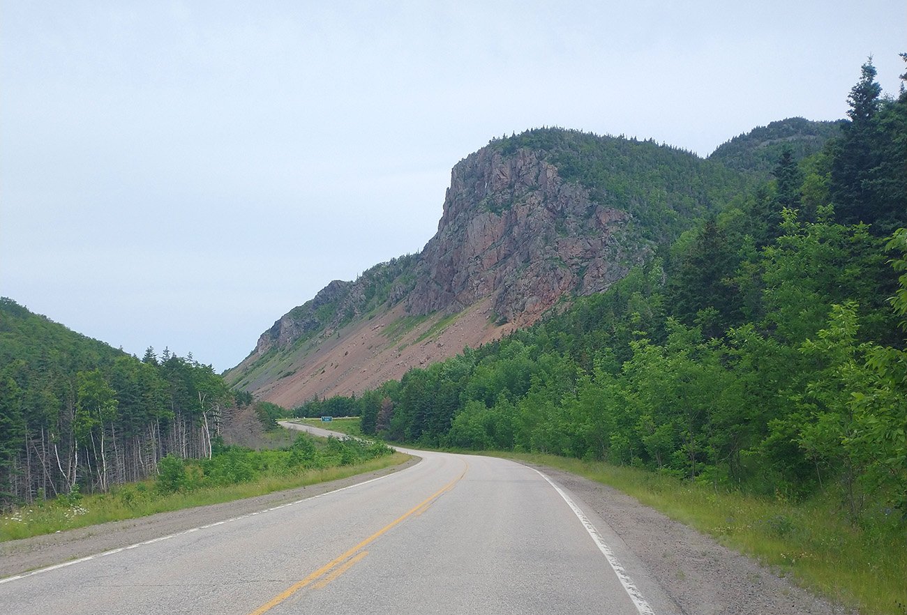
You don't see much going up but then descend with these insane views of the road winding through jagged cliffs and coastlines. Easy top 10 roads in Canada.
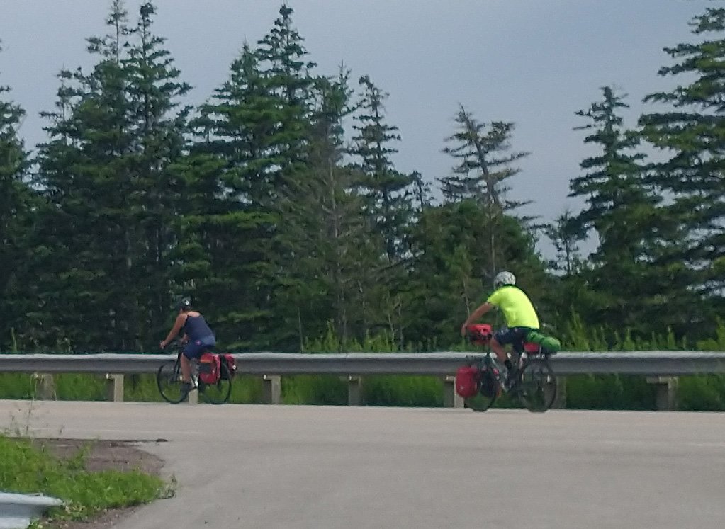
Saw a few bikepackers suffering away that day. This will never be me.
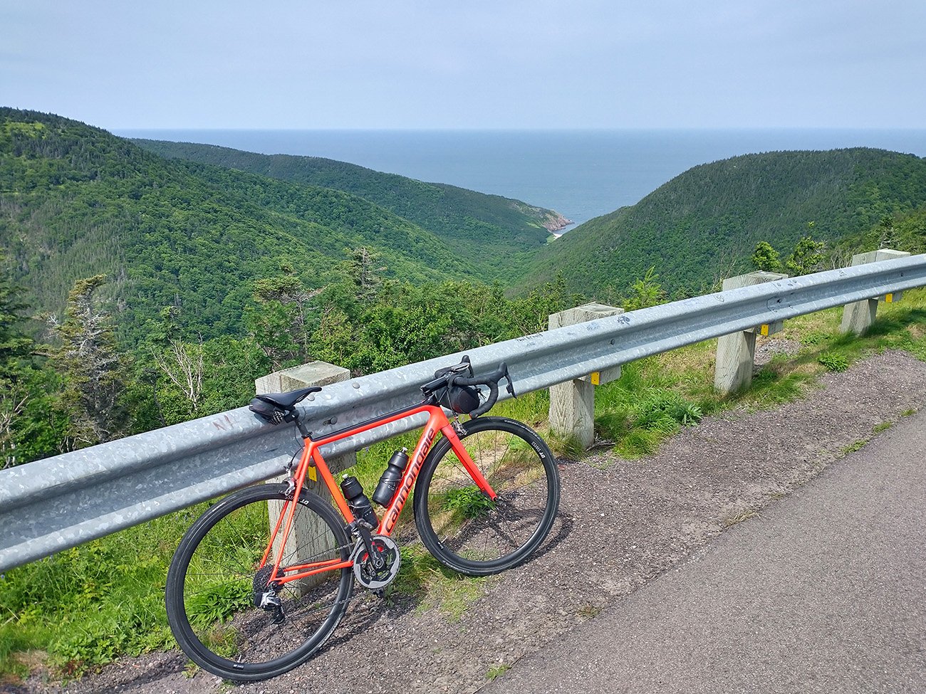
View from the top of the first and highest climb that descents into Pleasant Bay.
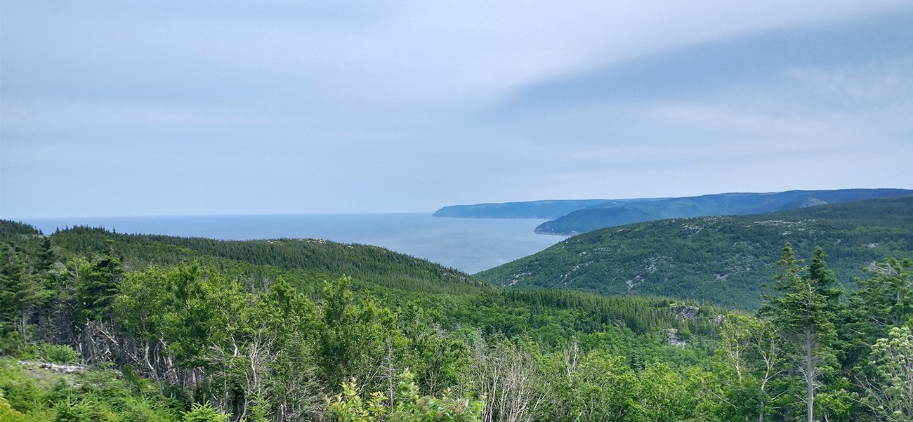
Pictures really speak for themselves.
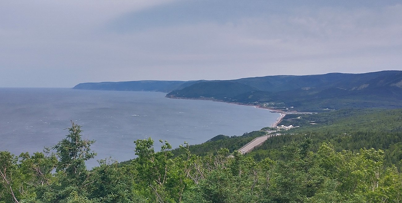
Mostly though you only get these views coming down the 3 main climbs.
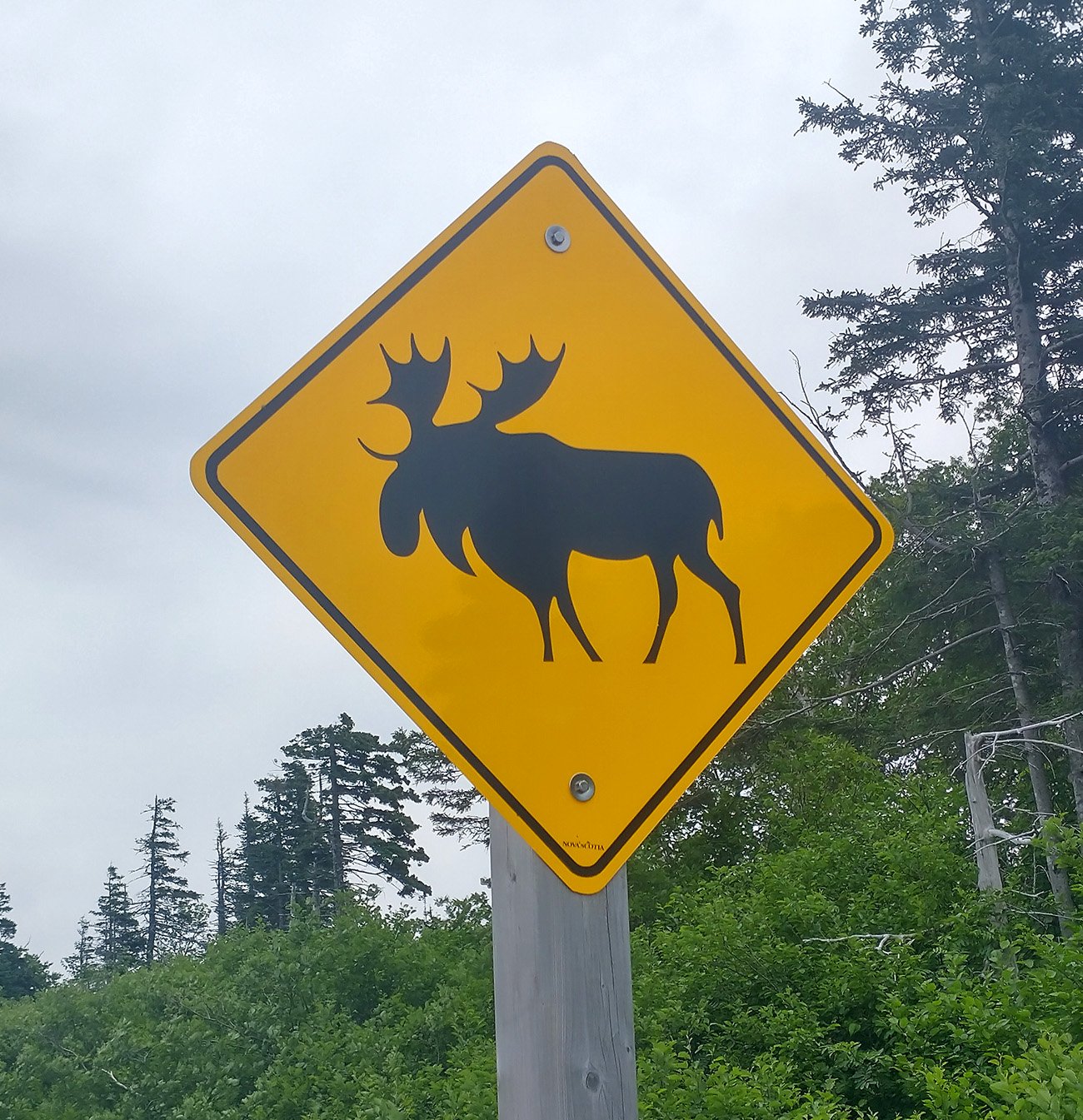
Look at the chunky-ass Moose they pretend to have there.
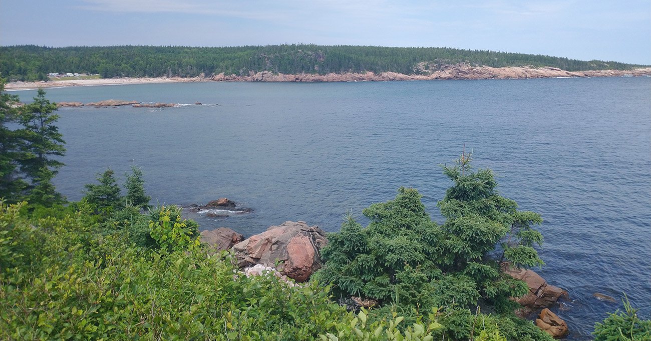
The road keeps going with these cliffs and coves until you turn back into the woods to St. Anns.
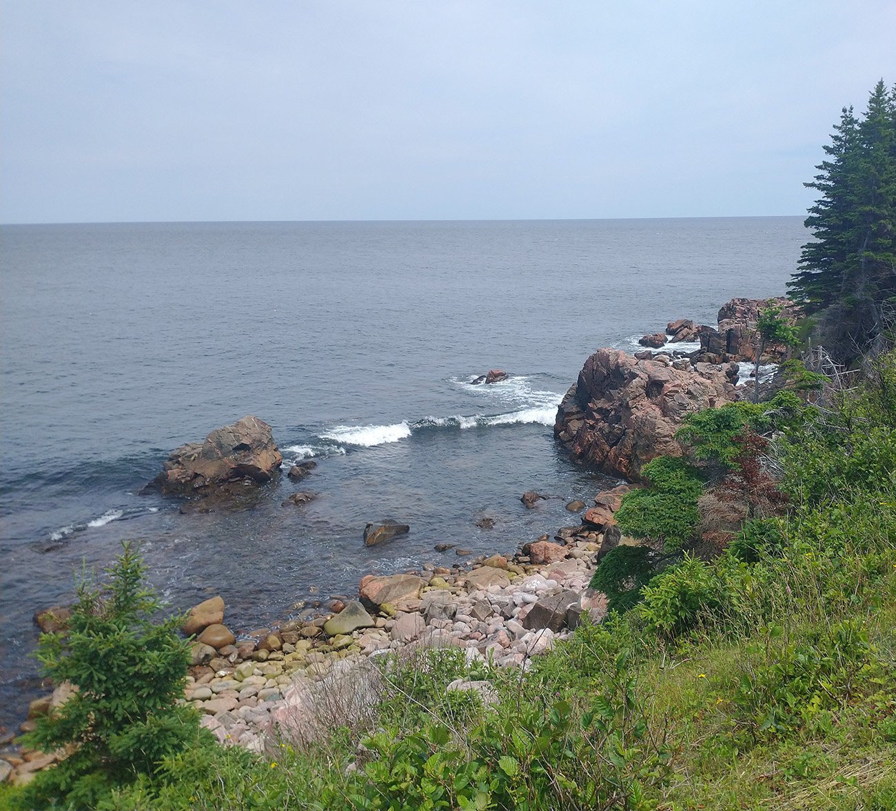
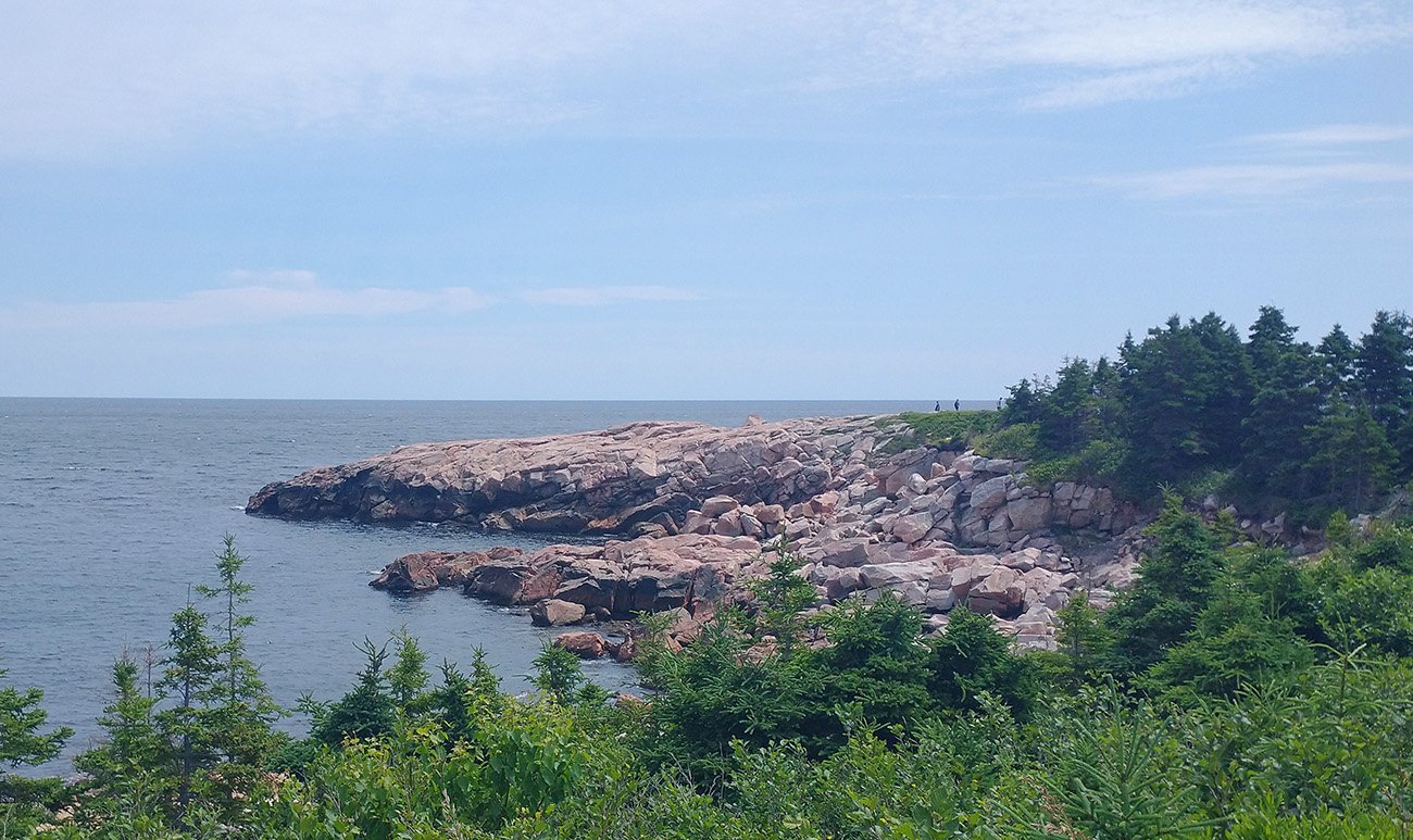
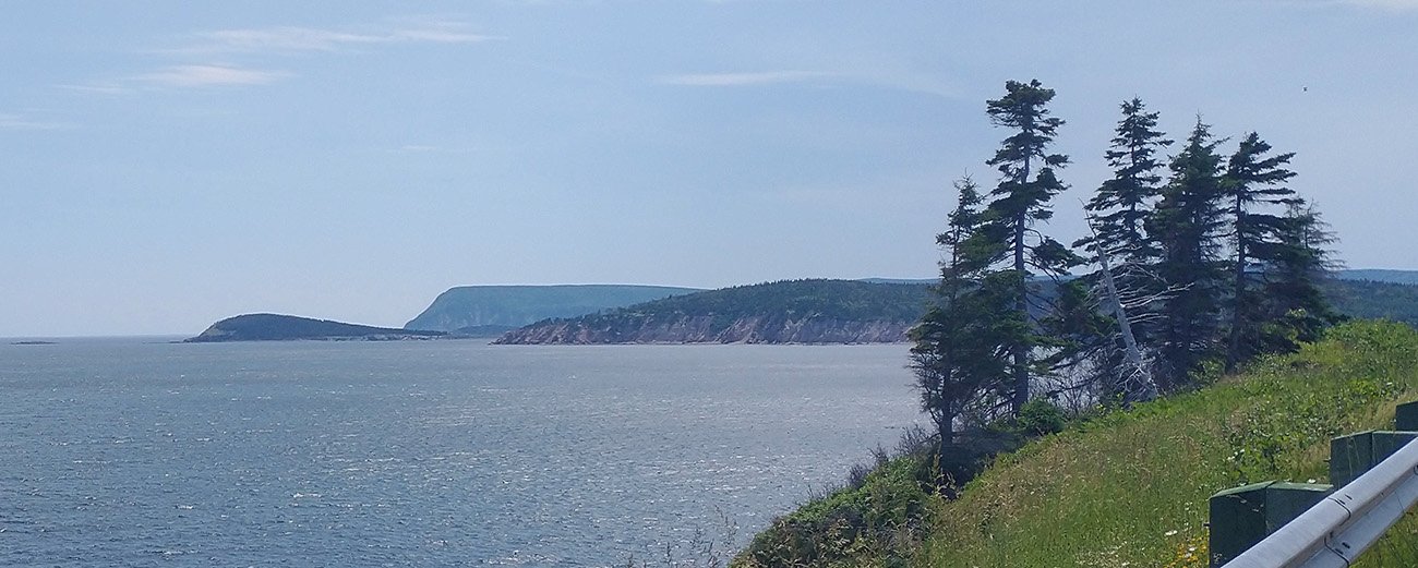
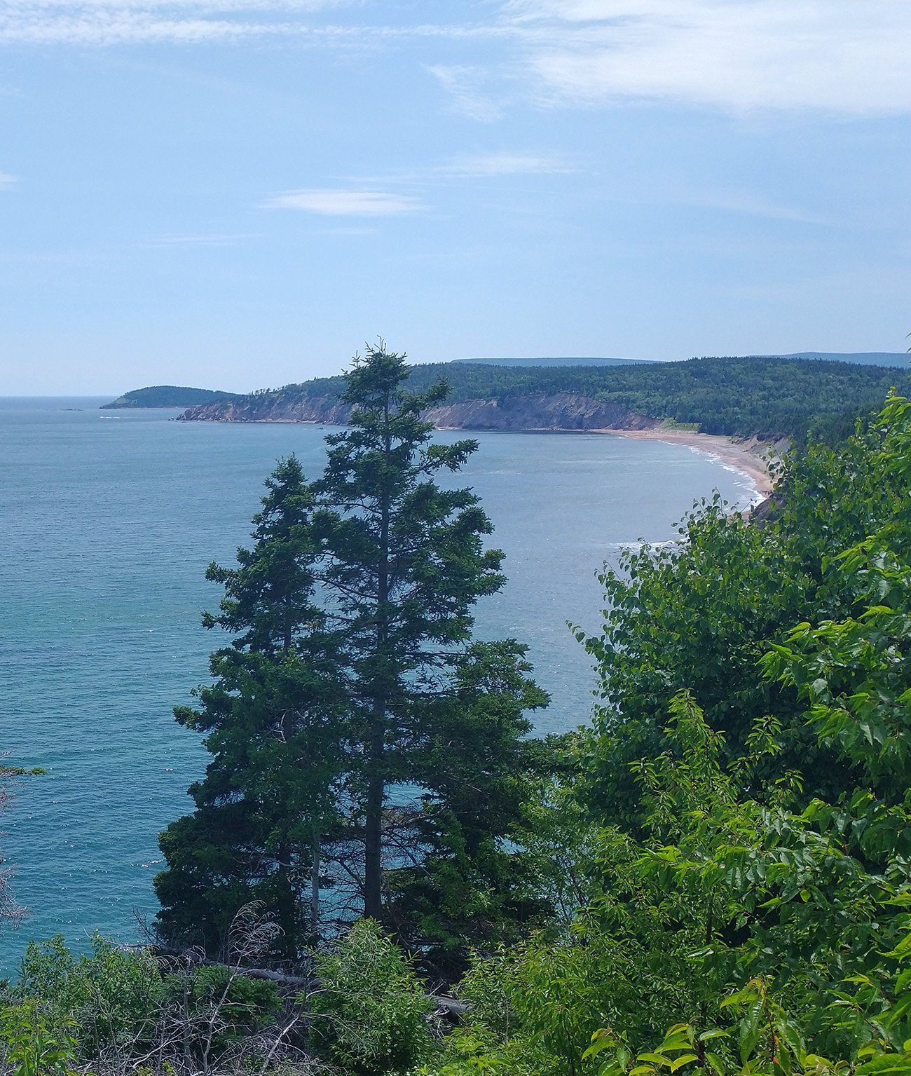
The skies were a little threatening halfway in but glad I avoided rain that day. Thank god.
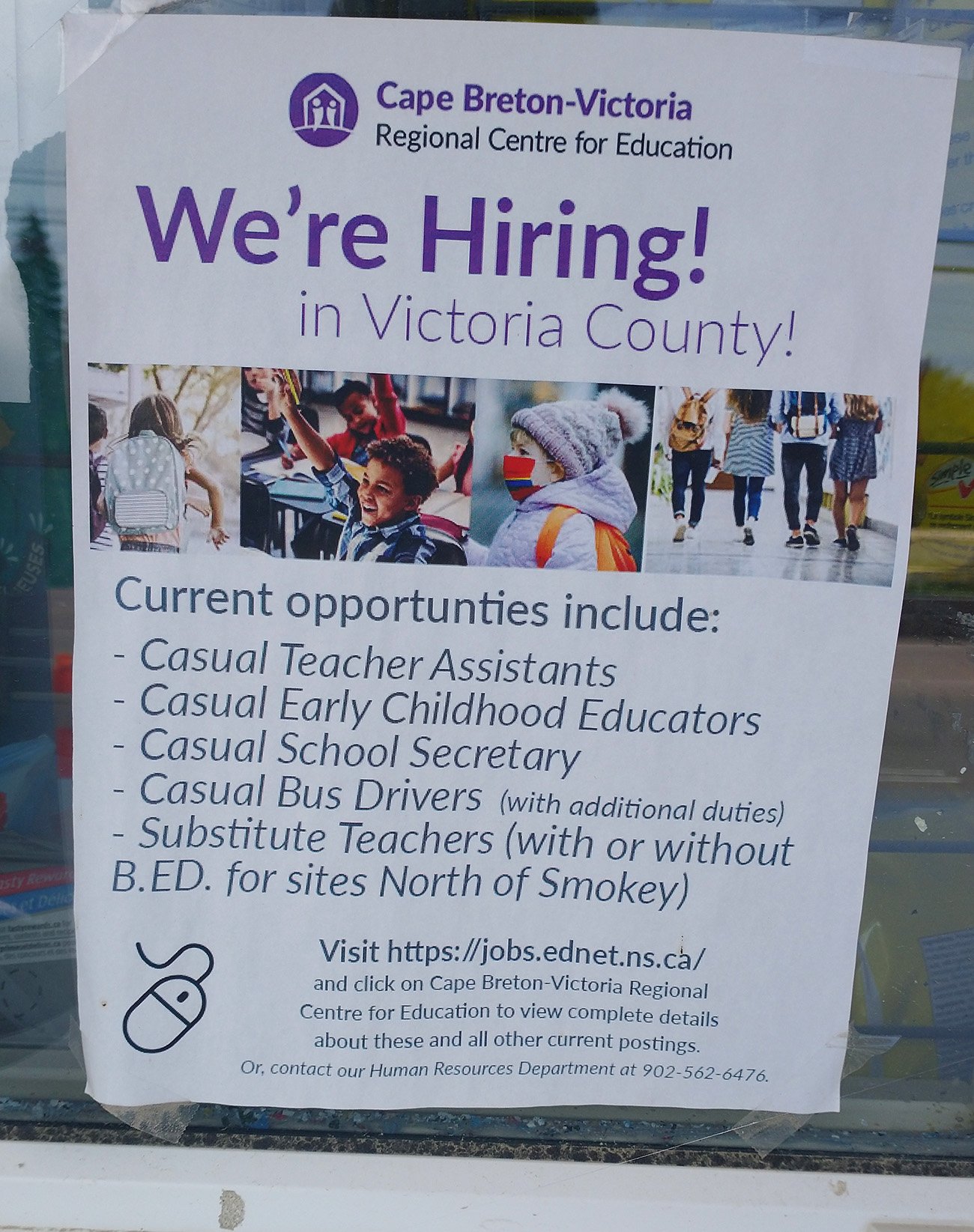
Casual teachers? Whatever that is.
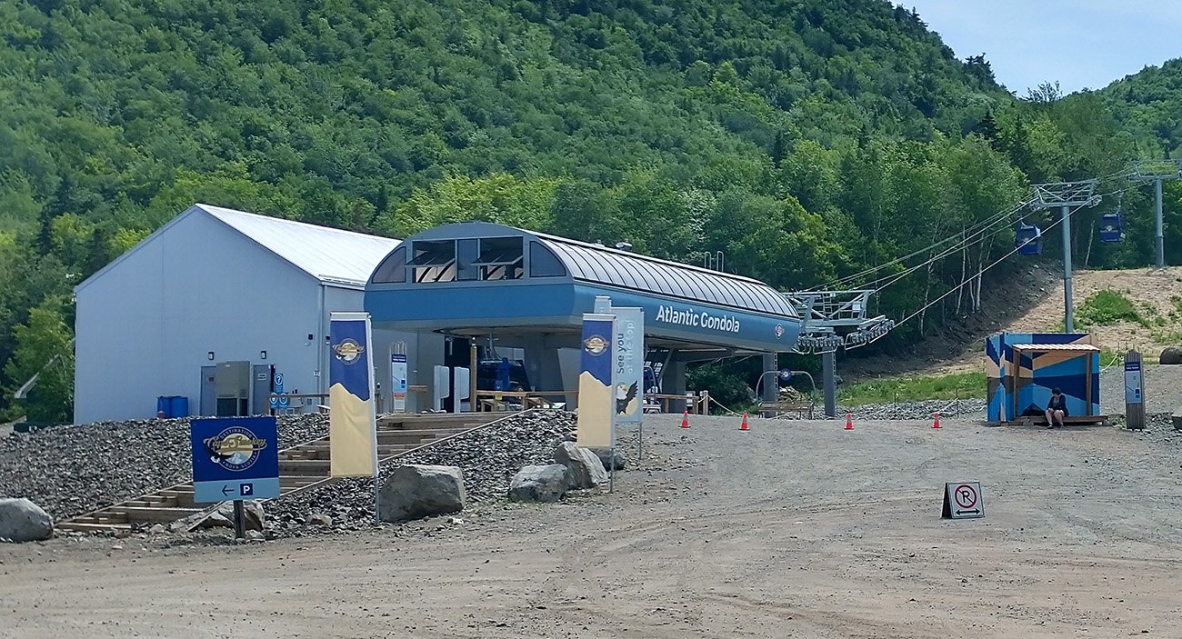
You can take this Gondola though I'm not sure where it pops up. Just drive I dunno.
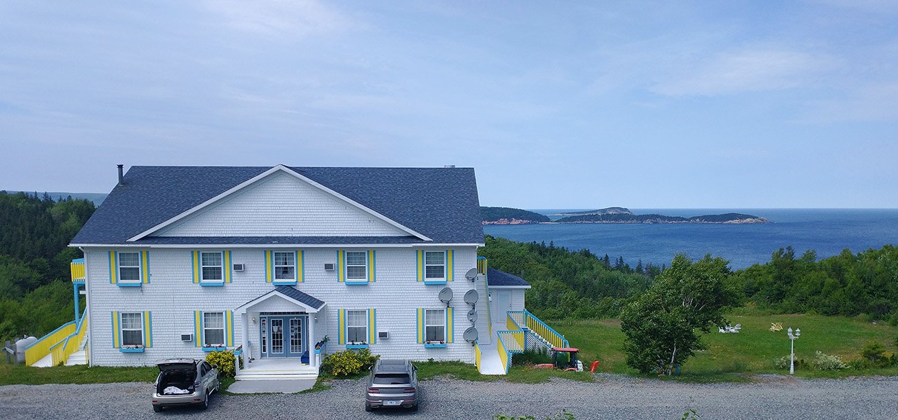
Cool little seaside hotel.
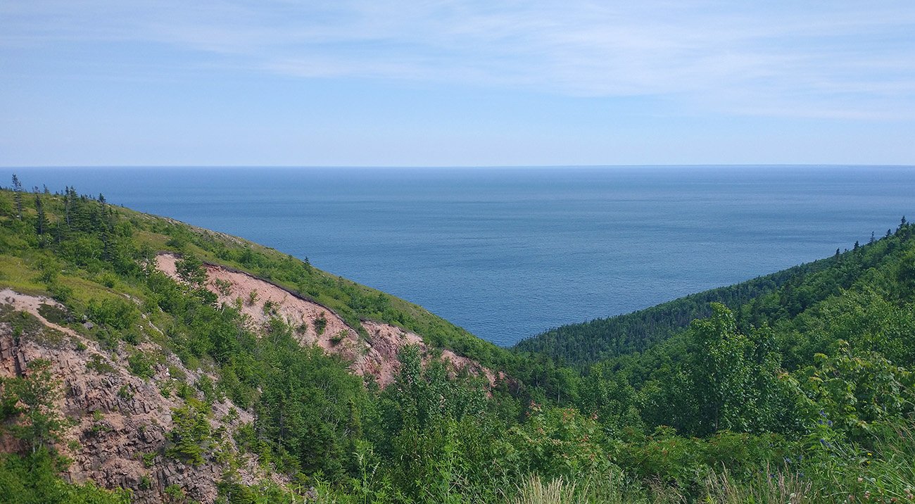
Almost made me forget the suffering. Almost...
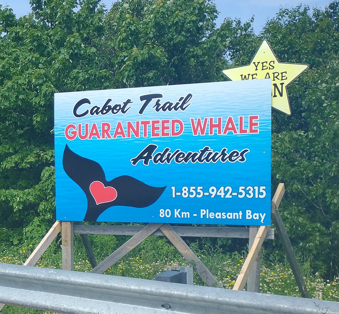
By "guaranteed" they mean that this still counts:
"Alright kid you've seen it, money's mine"
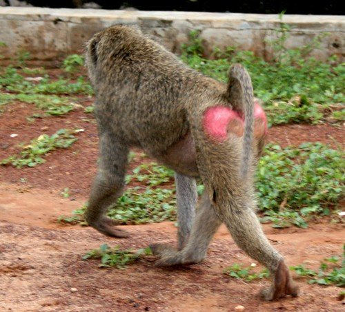
At this point my ass looked like this and I was pretty damn ready for the ride to be done...
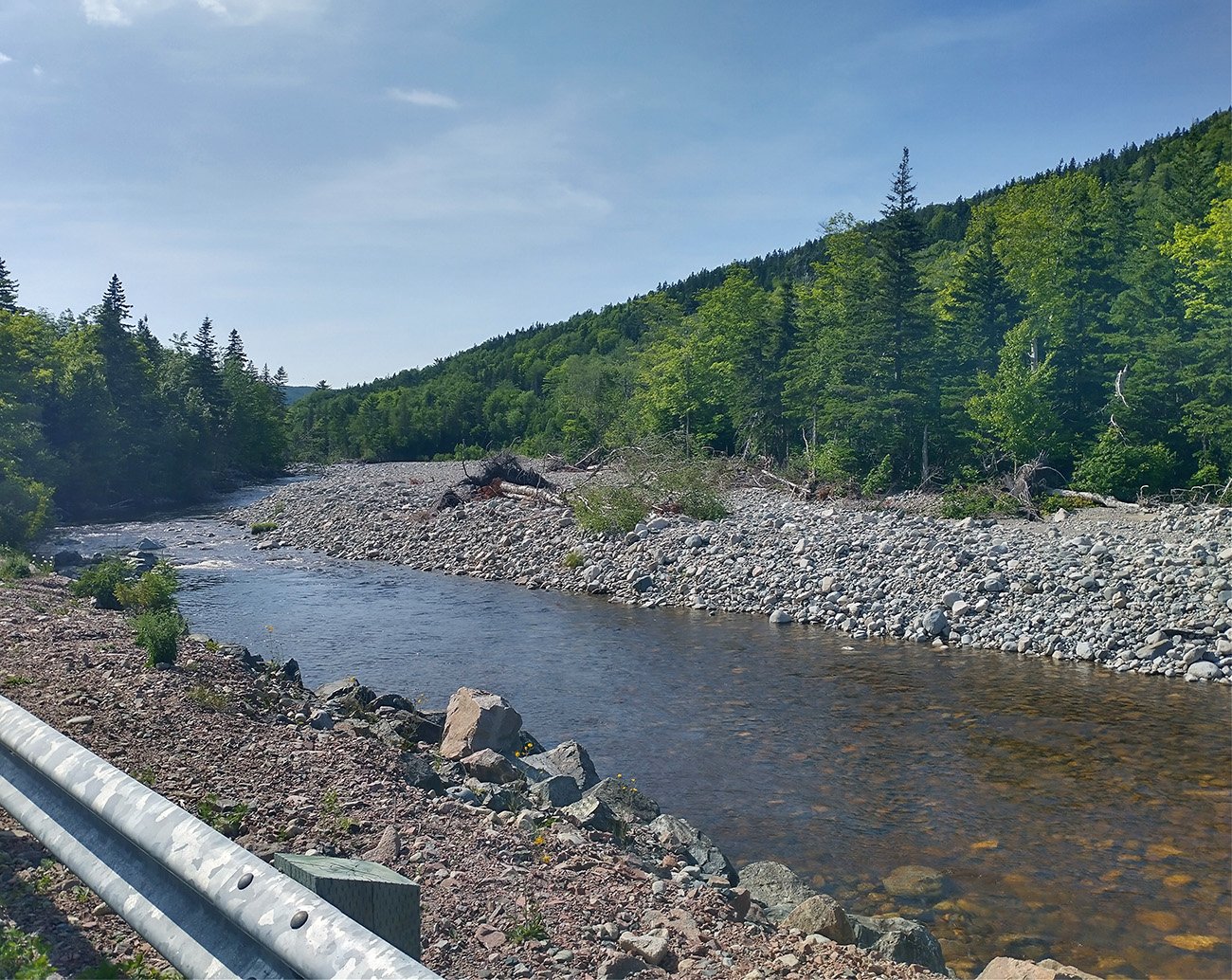
Turning back to St. Ann you come across North River but you don't care because the headwind's been destroying you for the last 50km
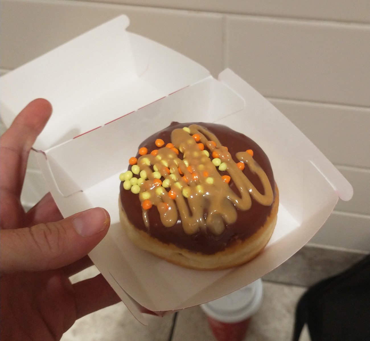
My reward donut from Tim Hortons. I'm collecting the points. Every 8th coffee is free! $$$$$$$$
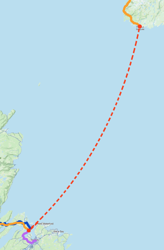
Taking a day off the bike and crossing over to Newfoundland.
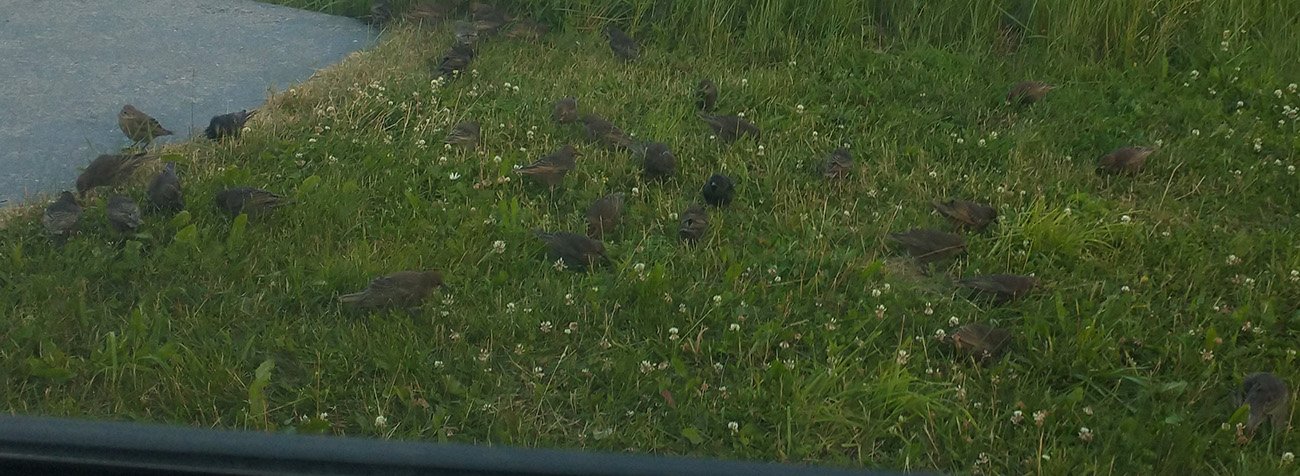
Woke up to a mob of starlings feasting on the grass next to my car.
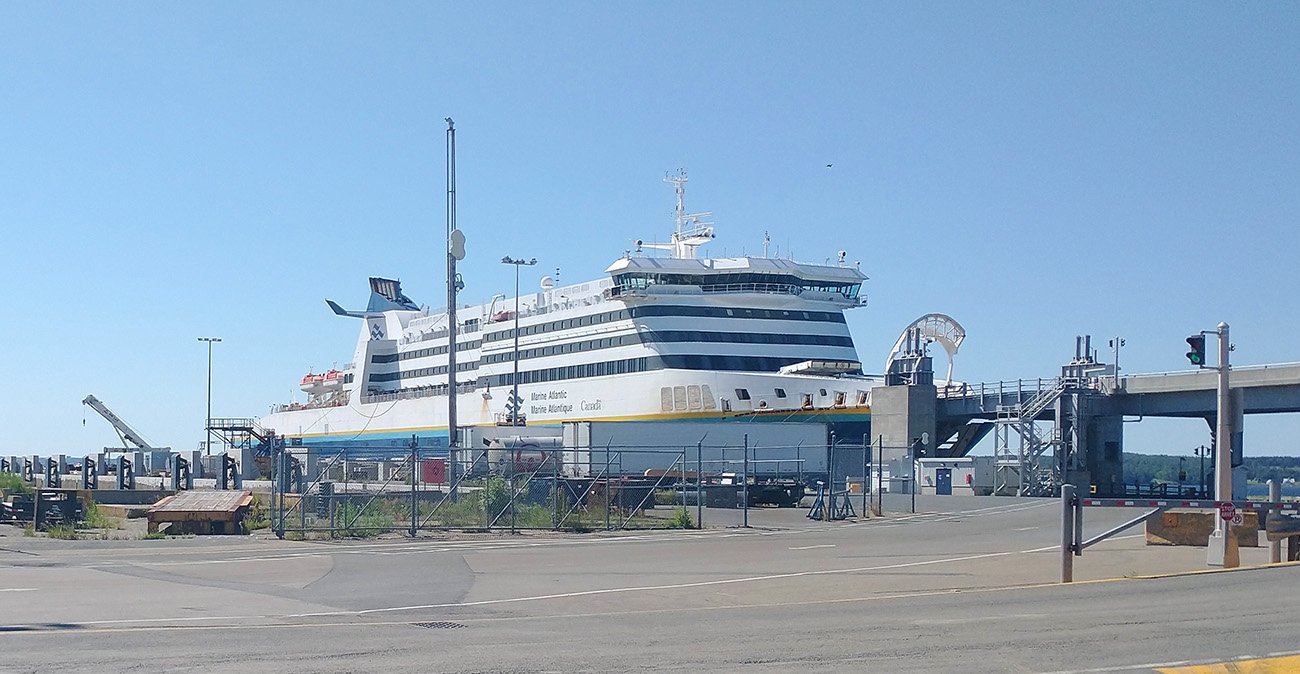
One of the ferries. They're huge and it takes about 2 hours to load them. Suddenly airports don't seem to bad.
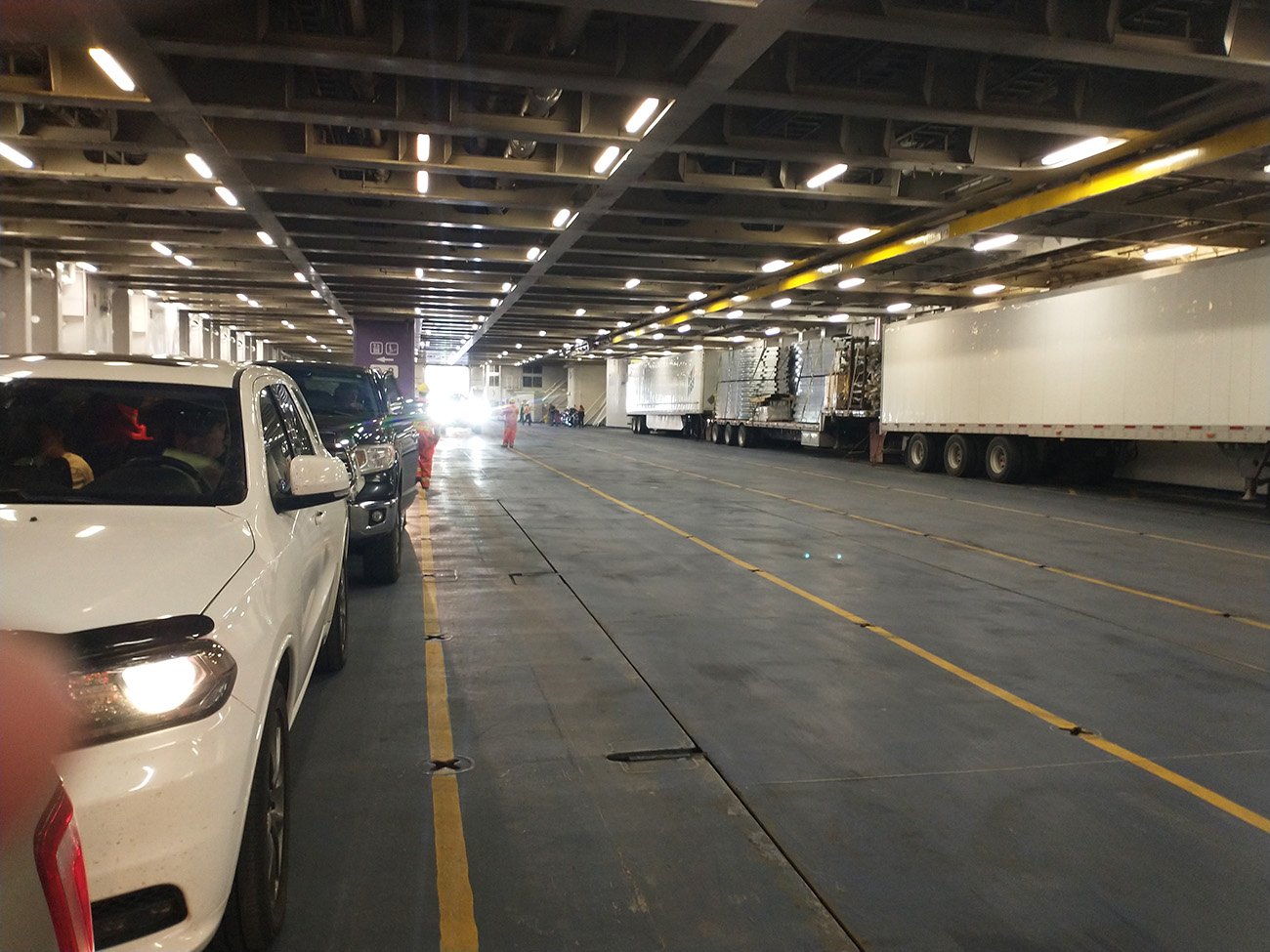
Huge.
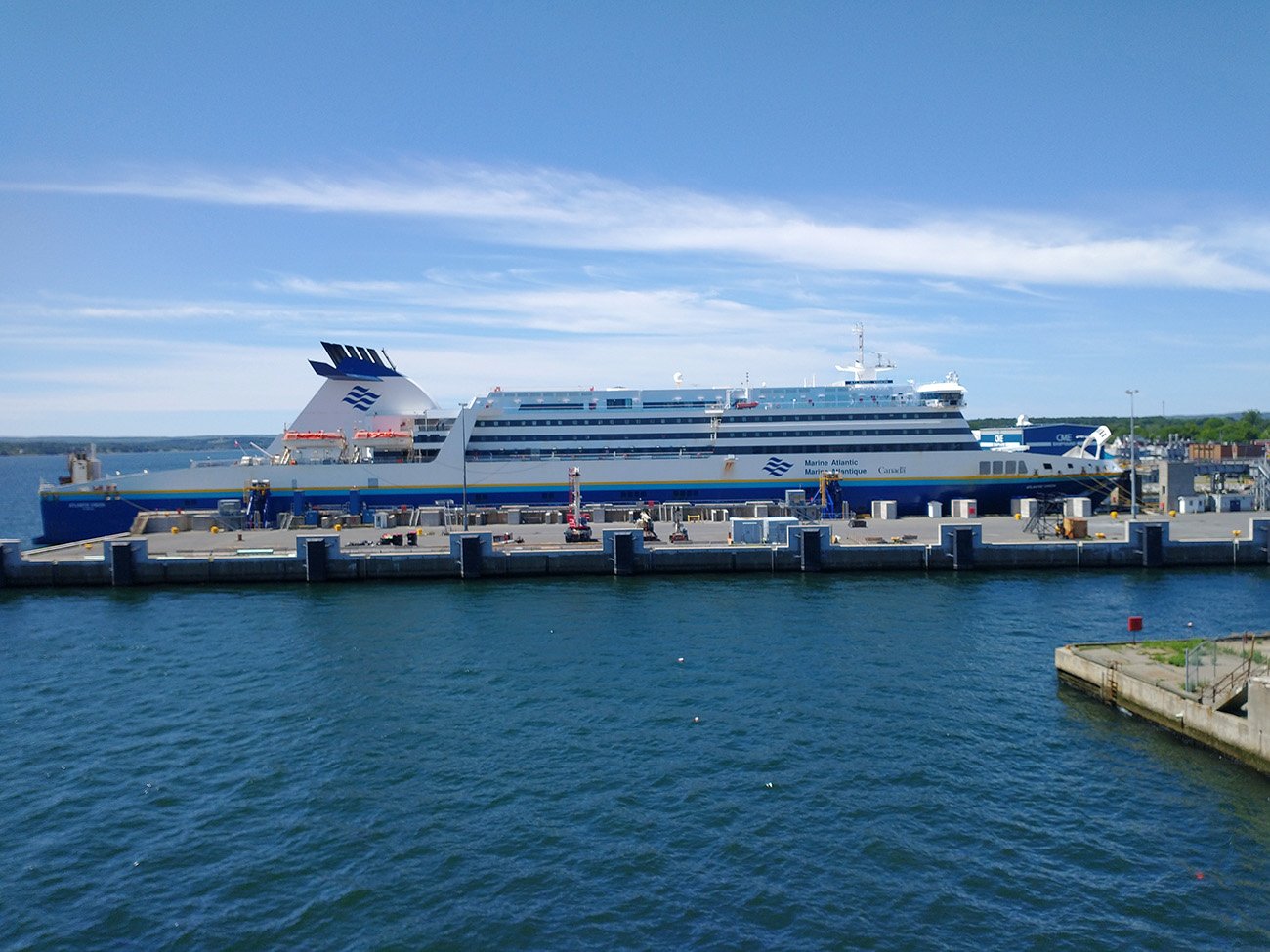
This is not the one I was on in case you were wondering.
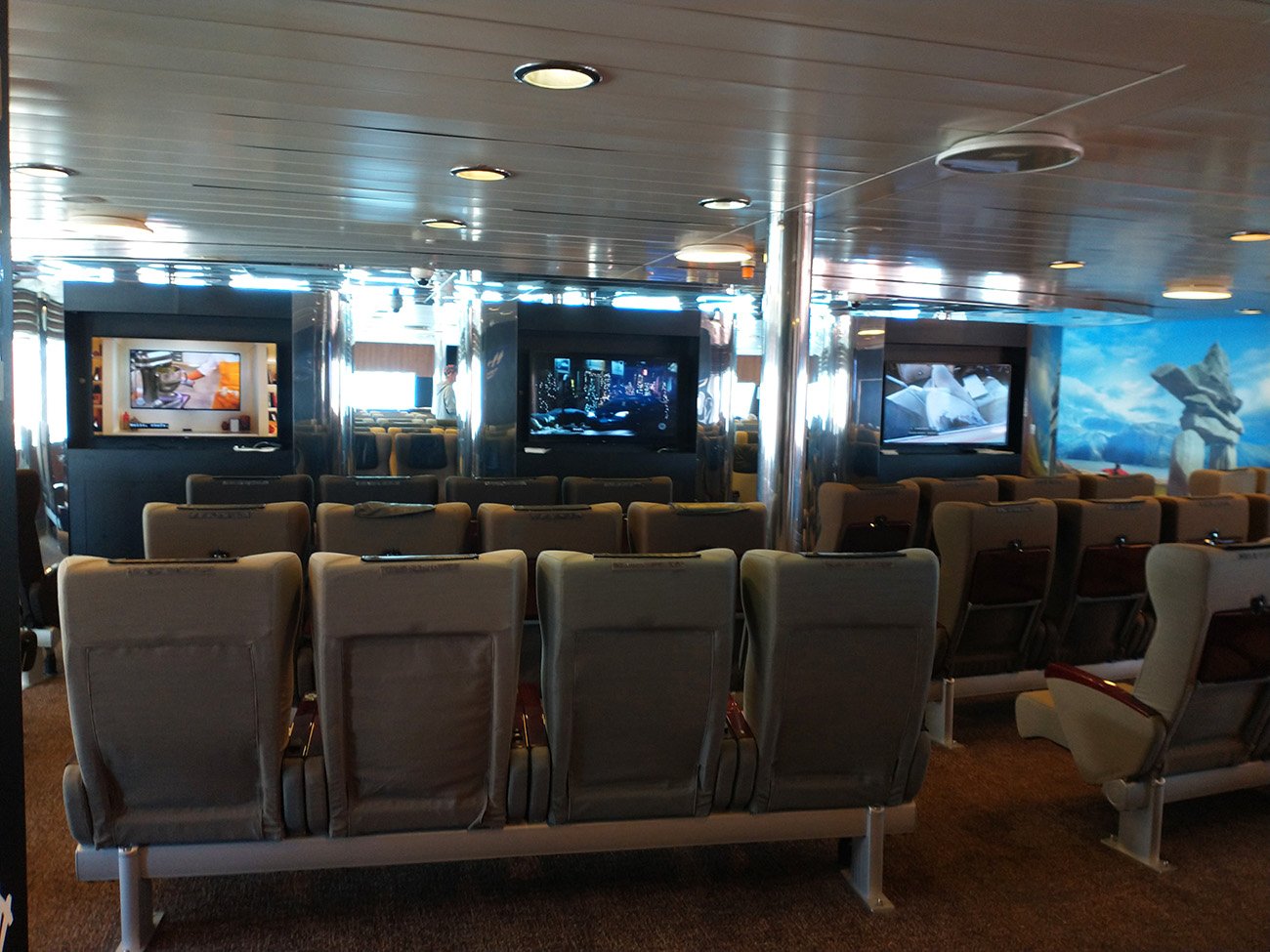
Inside you can find a big area with recliners and tvs where you're supposed to attempt to sleep if you didn't get one of the 3 cabins on the deck above....

Leaving the Cape behind. About this point where people got bored of being outside.

I asked if there was wi-fi on the boat and an employee lady enthusiastically replied "Yes!" by which she of course meant "NO!"

Usual ripoff prices. I think people buy that just out of boredom.
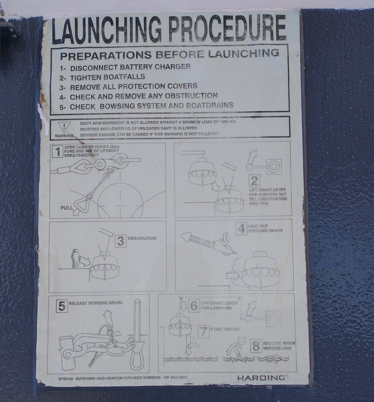
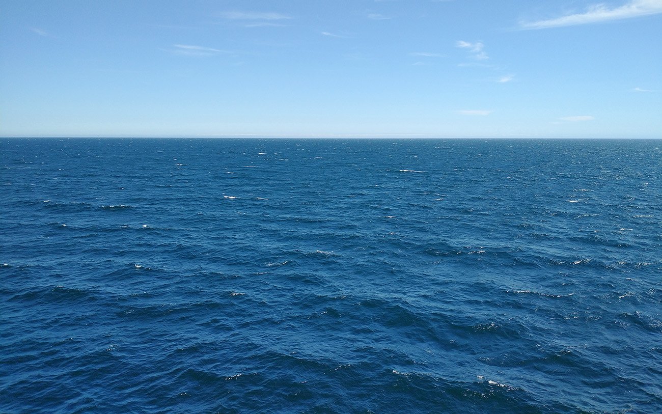
This is the view for 4-5 hours of the trip. No whales, no birds, no icebergs...
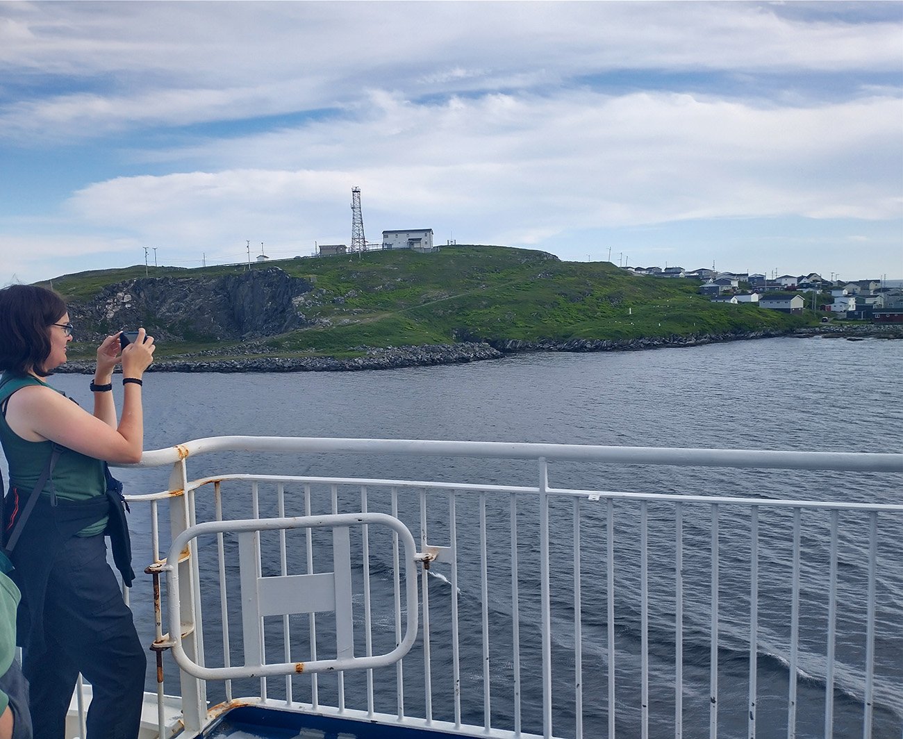
But then you get to port and people scurry out to take pictures!
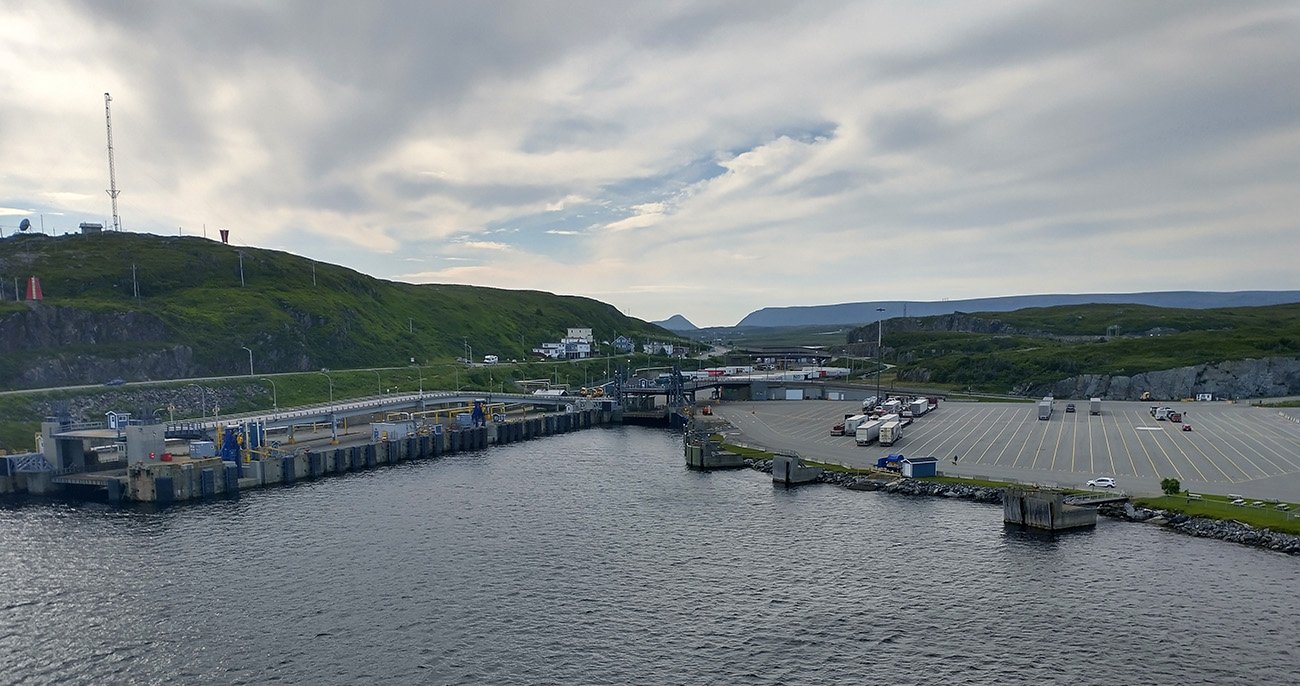
Not me though, I wouldn't do that like some pedestrian tourist.
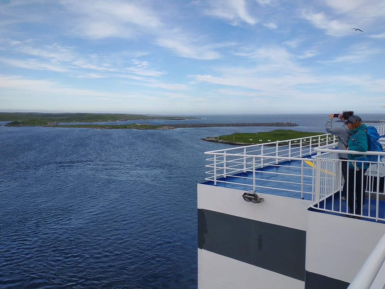
More people taking pictures.
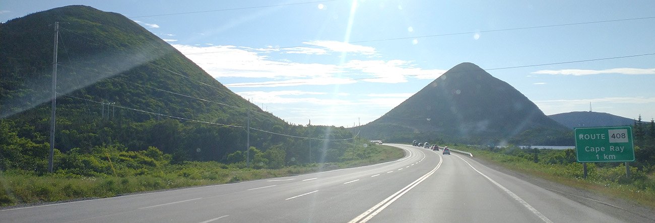
Some views of the drive up to Stephenville. Really Iceland-like landscape. Very unique for Canada so far.
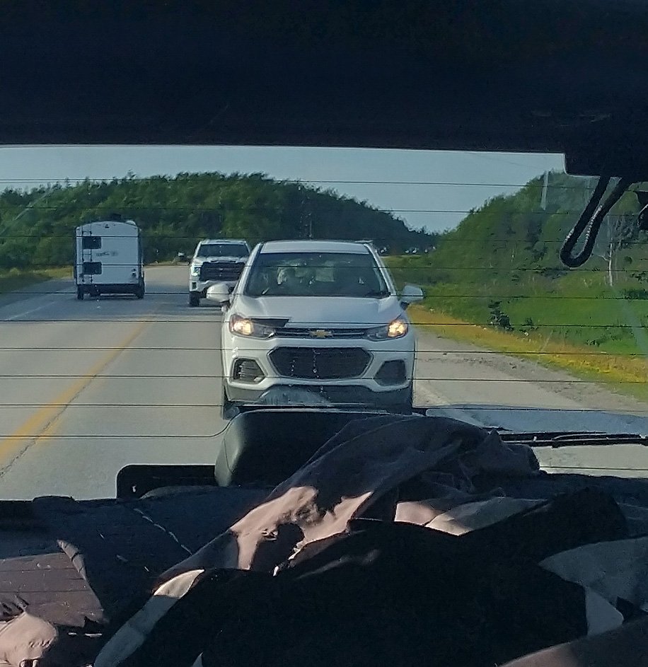
In case you're wondering who the dumbasses are who throw shit out of their car window: This lady.
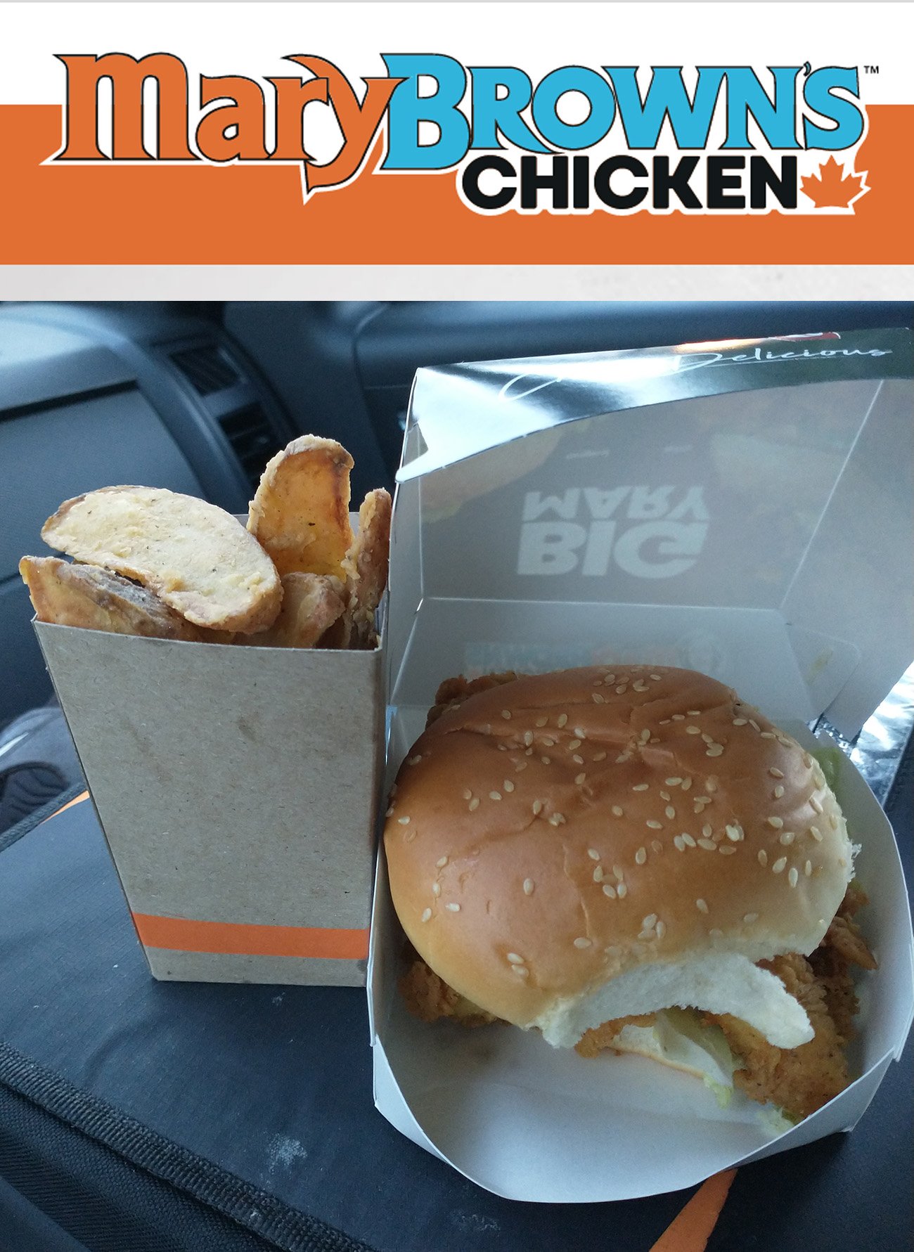
Stopped at Mary Brown's which is like a better Chick-Fil-A. Thought they were unique to Newfoundland but apparently not... Still great chicken sandwich though.
Day 1 of actual riding was cloudy and very cold when I woke up, so I decided to cut the ride short by 60km. Good decision as it started raining almost immediately. Hey, I knew there would be days like this. Might never come back so glad I got that ride done.

Tons of tiny little coastal towns everywhere. Like 50 people, in these tiny hobbit houses.
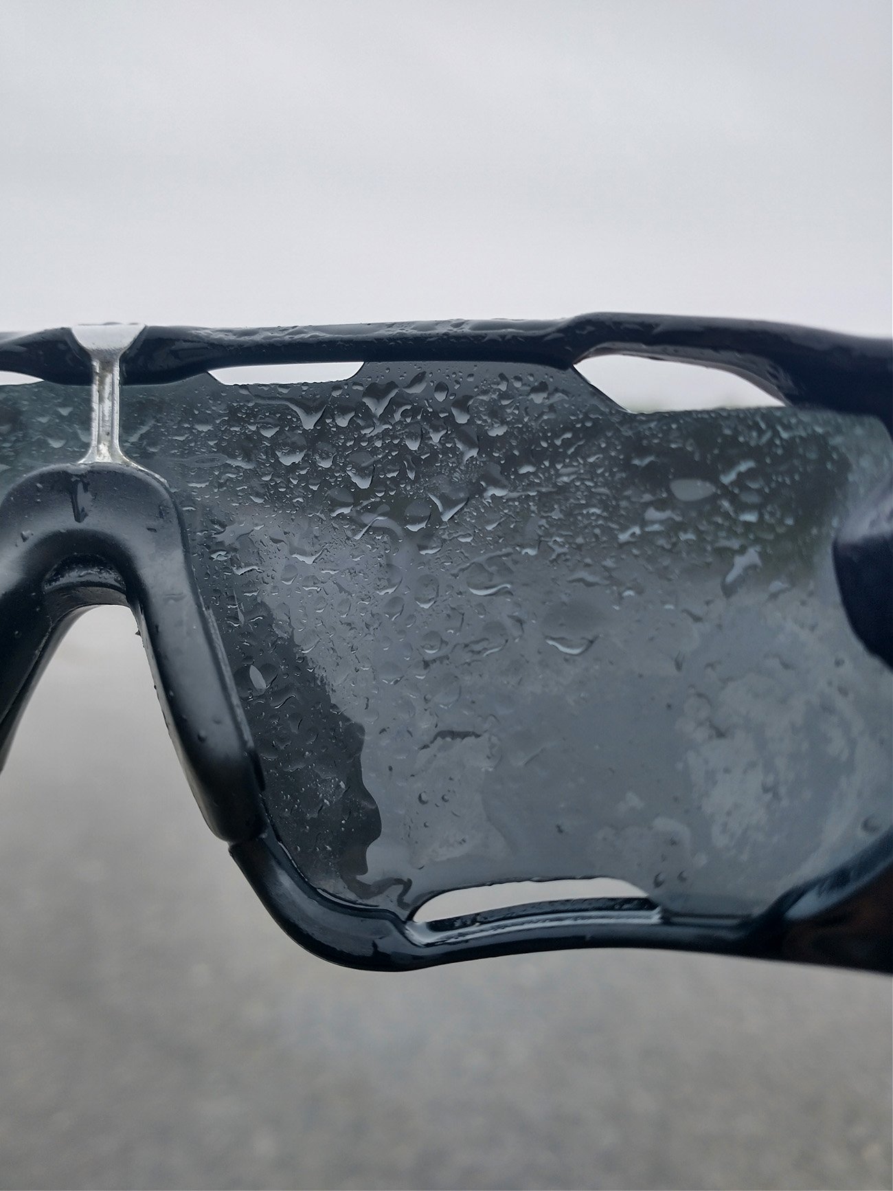
This is reason#41 why it sucks to ride in the rain. Glasses get droplets inside and out so you can't see anything. But you can't take the off otherwise the wind and rain blind you anyway.
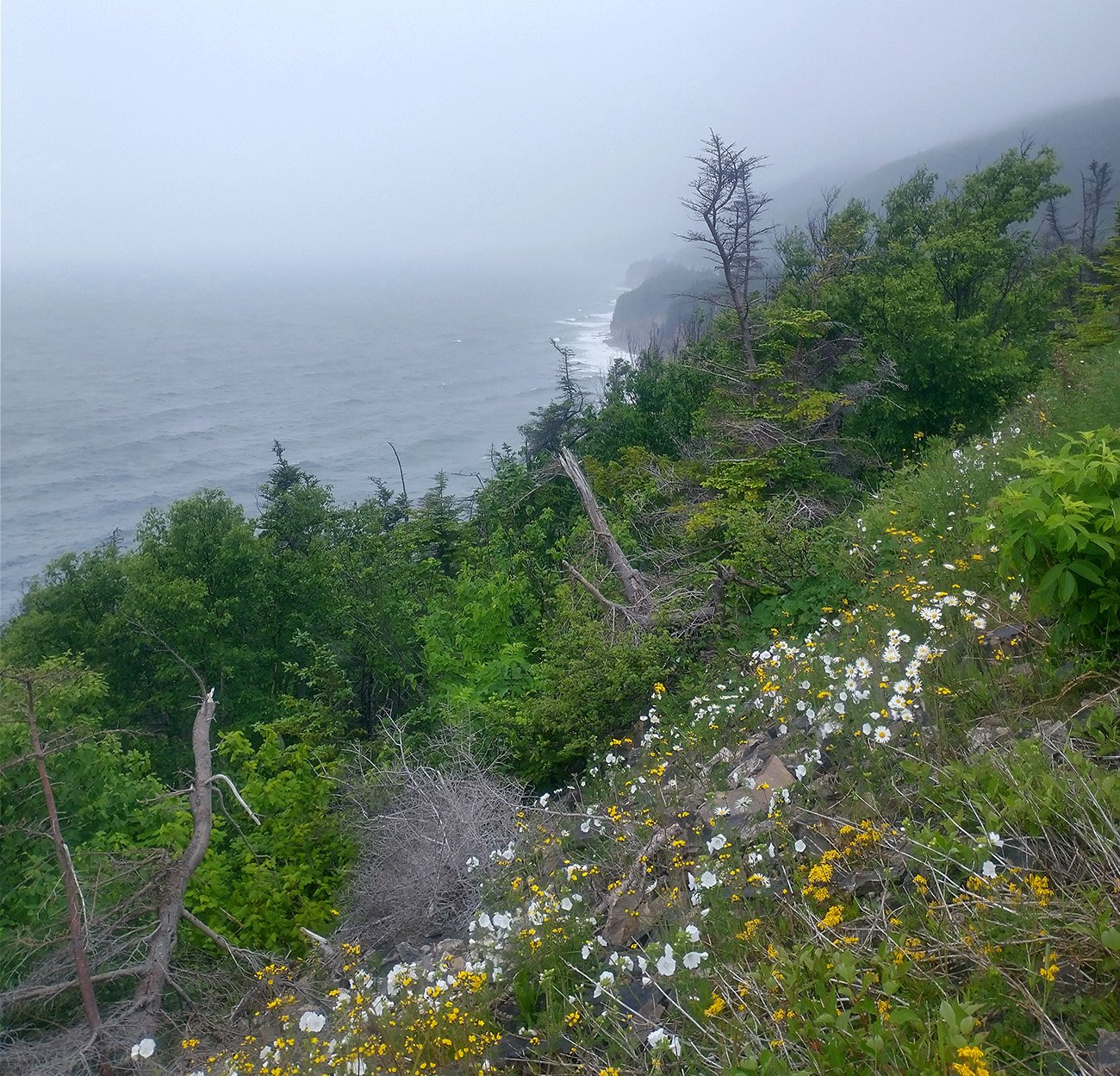
Started to enter a fog patch when climbing up the Cape. Almost anywhere you stop and just walk up to the side of the cliffs you get these amazing views.
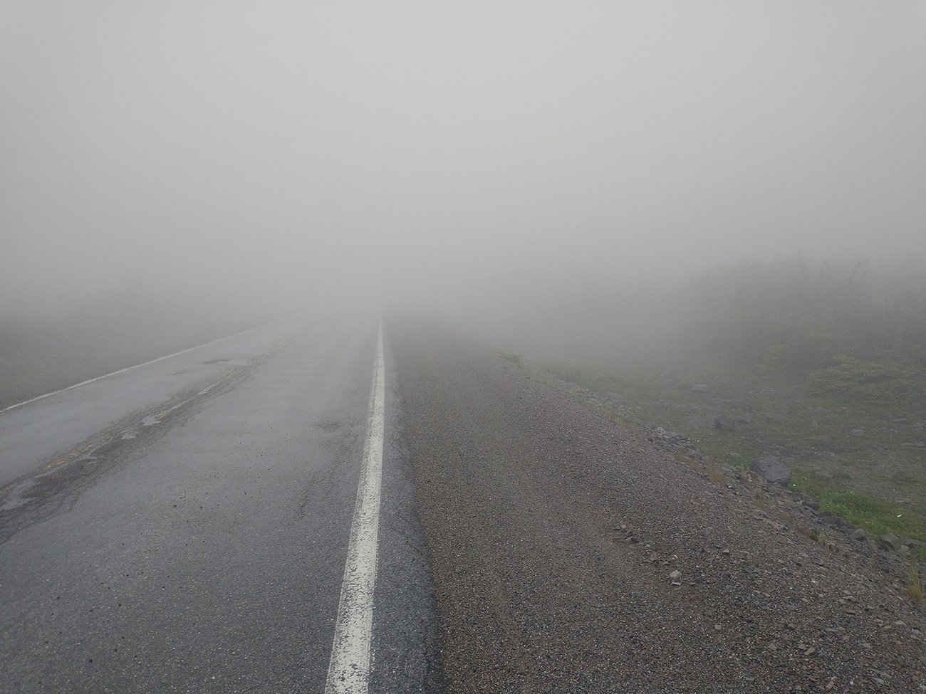
This fog was thick... No one but me was there today. No cars, no bikes. Just me silently rolling in the fog.
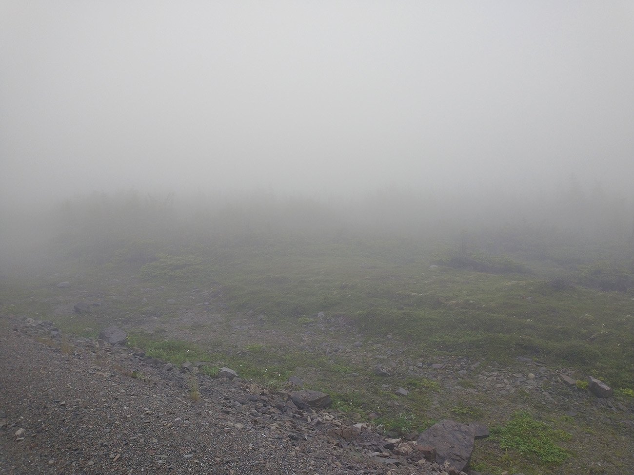
Waiting for a bear to leap out of a bush and get me. I imagine the view is great from here on a clear day..
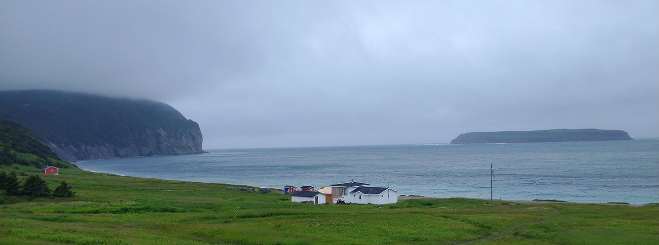
Back down the cape. There's a little town at the base of these massive cliffs. You could buy that house. You could live there. Don't know what you'd do 99% of the time, but you get that view at least.
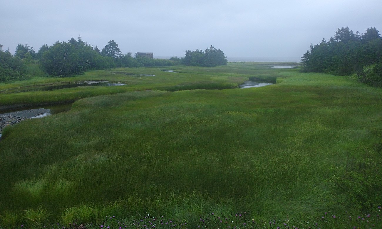
Newfoundland is covered in these bogs / ponds / marshes where I imagine moose frolic all day.
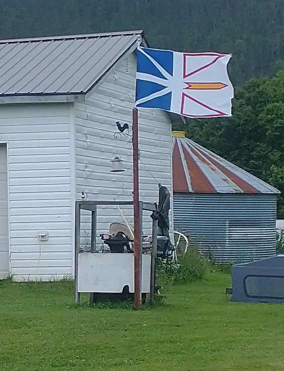
That wind... Fortunately it wasn't that bad the entire week, it really was just the storm/rain that day. Thank god. 30-50kph headwinds are not fun.
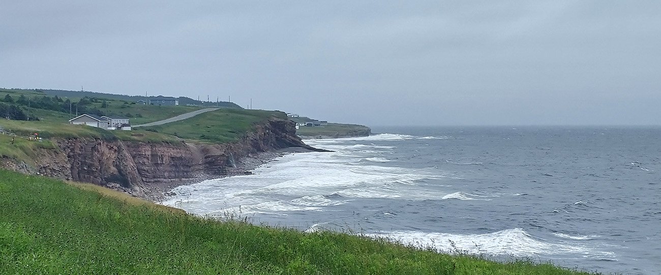
Looks like that all around the cape and the road that connects it to Stephenville.
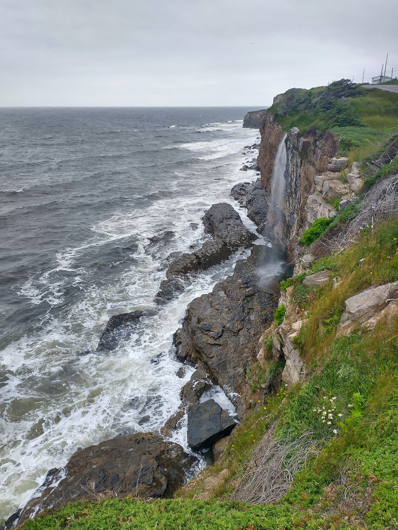
Awesome views of the waves crashing on these large cliffs. Would be quite a sight in an actual big storm.
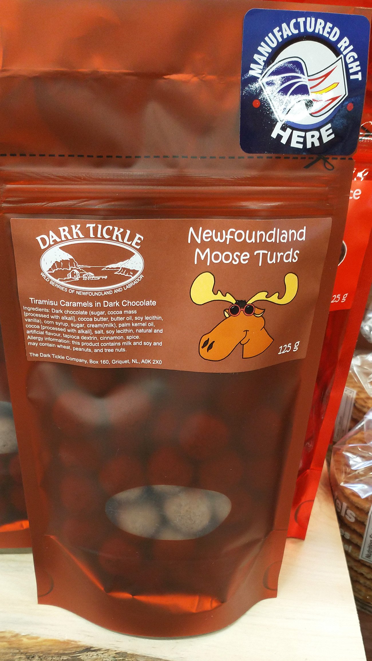
Went to shop for gifts that night. Lots of moose themed things on the island. They really amp up how moose infested they are.
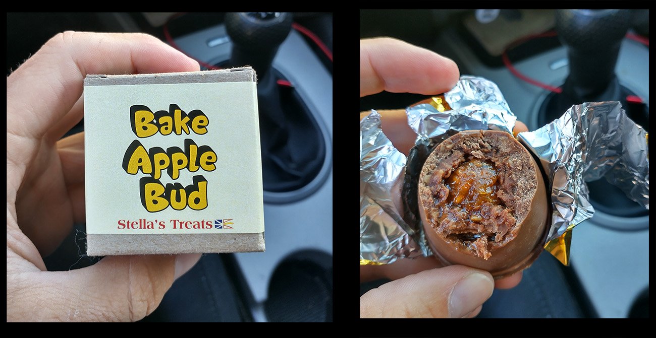
BakeApples are one of the island's unique food items that they make into desserts.
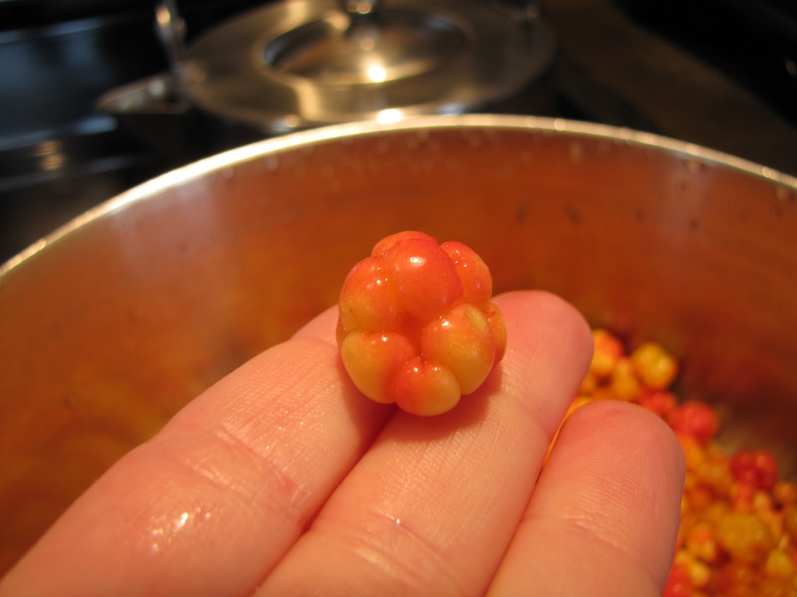
They look like this. Apparently they don't take particularly good but you can fix that with sugar!
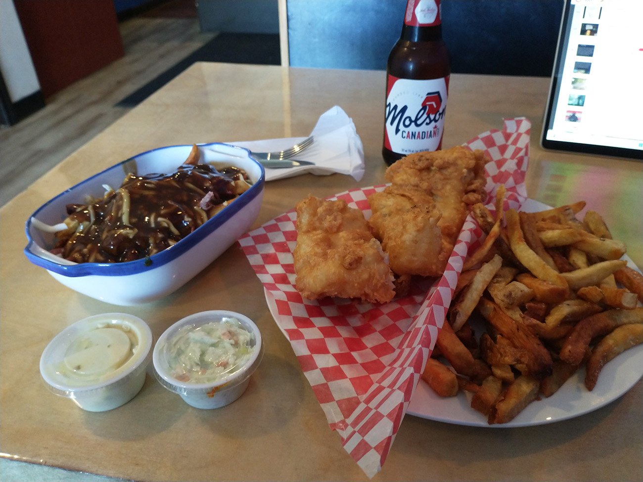
Got myself a greasy meal of fish and chips ( was very good ) and a poutine with salted beef ( an island ingredient ) that also was delicious. #deserve
The tablelands are these huge flat mountains located across the bay from the more touristy Gros Morne highway that gets out to the northern tip of the Island. Just highlights once again that even the “touristy” things here are still in remote areas with just about nothing. Ended the ride in the tiny village of “Trout River”. Its claim to fame is that a big blue whale washed up on their shore and they sold it to a museum.
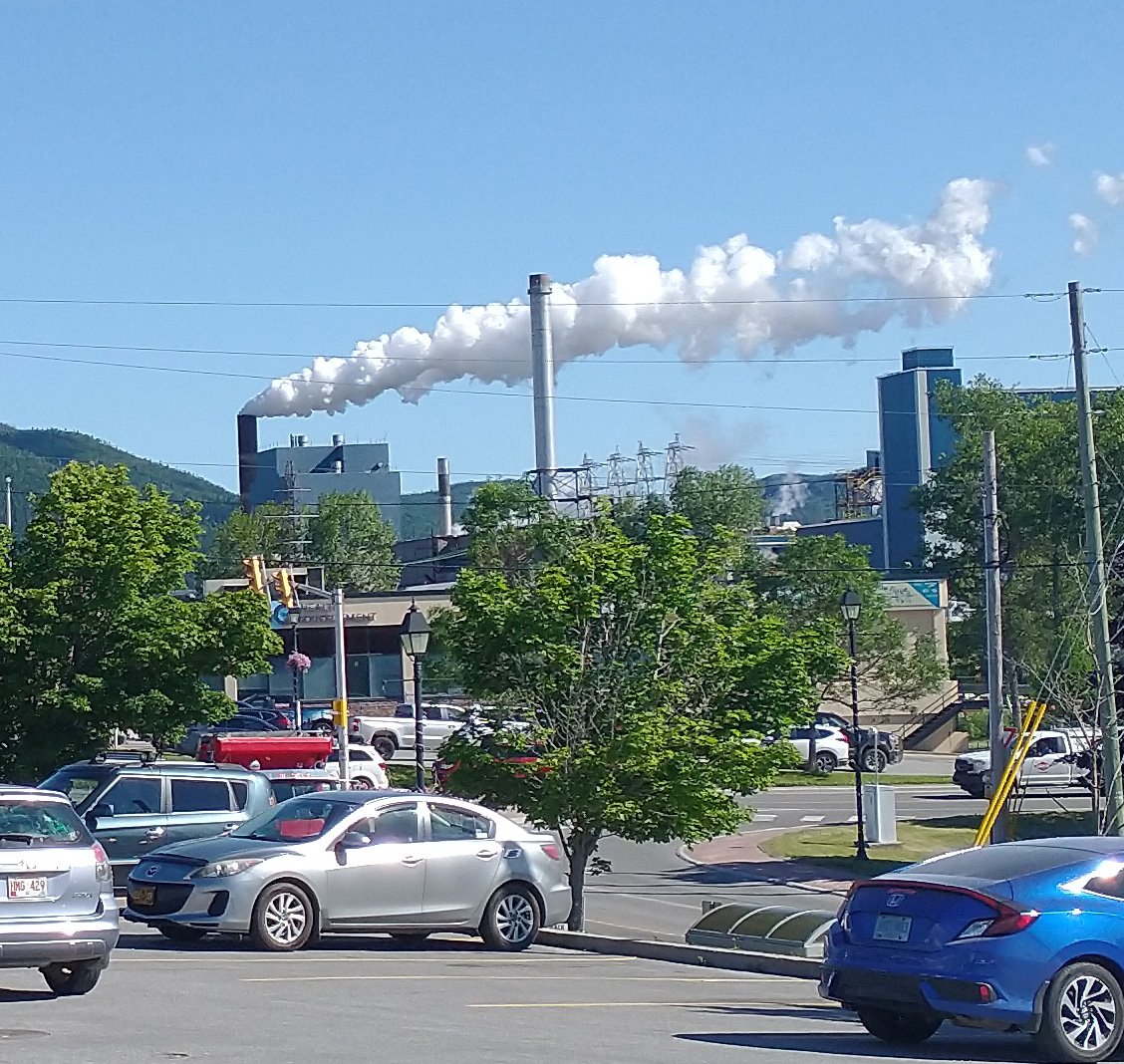
Spent the night in Corner Brook. It's a town built on cliffs around a harbor with this factory spewing this huge thick smoke... Looks healthy.
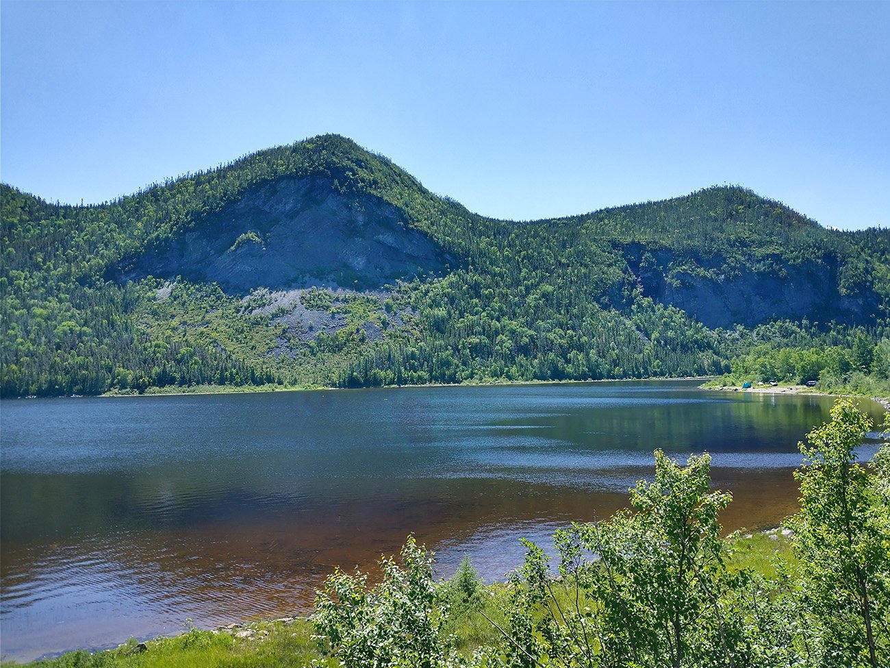
Near the start of the ride. Geography already starting to look badass.
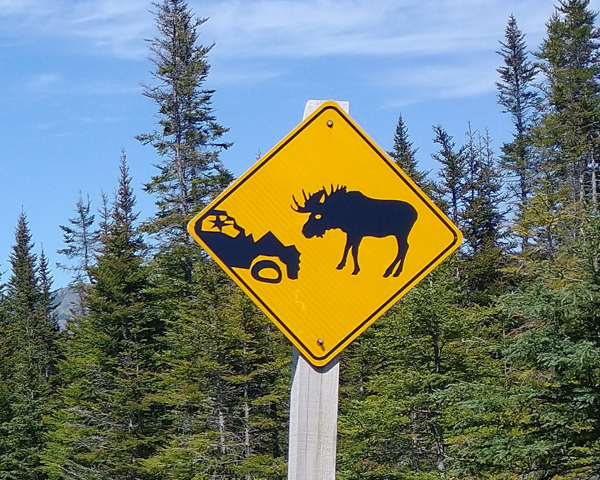
There's signs like this everywhere. Moose must be the number one killer of Newfies.
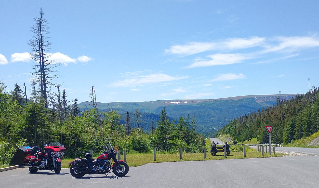
The ride consists of a few long rolling climbs with lookouts on top.
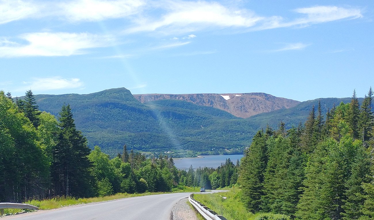
View of the tablelands. Still snow on there, in July! You can take guided hikes to the cliffs.
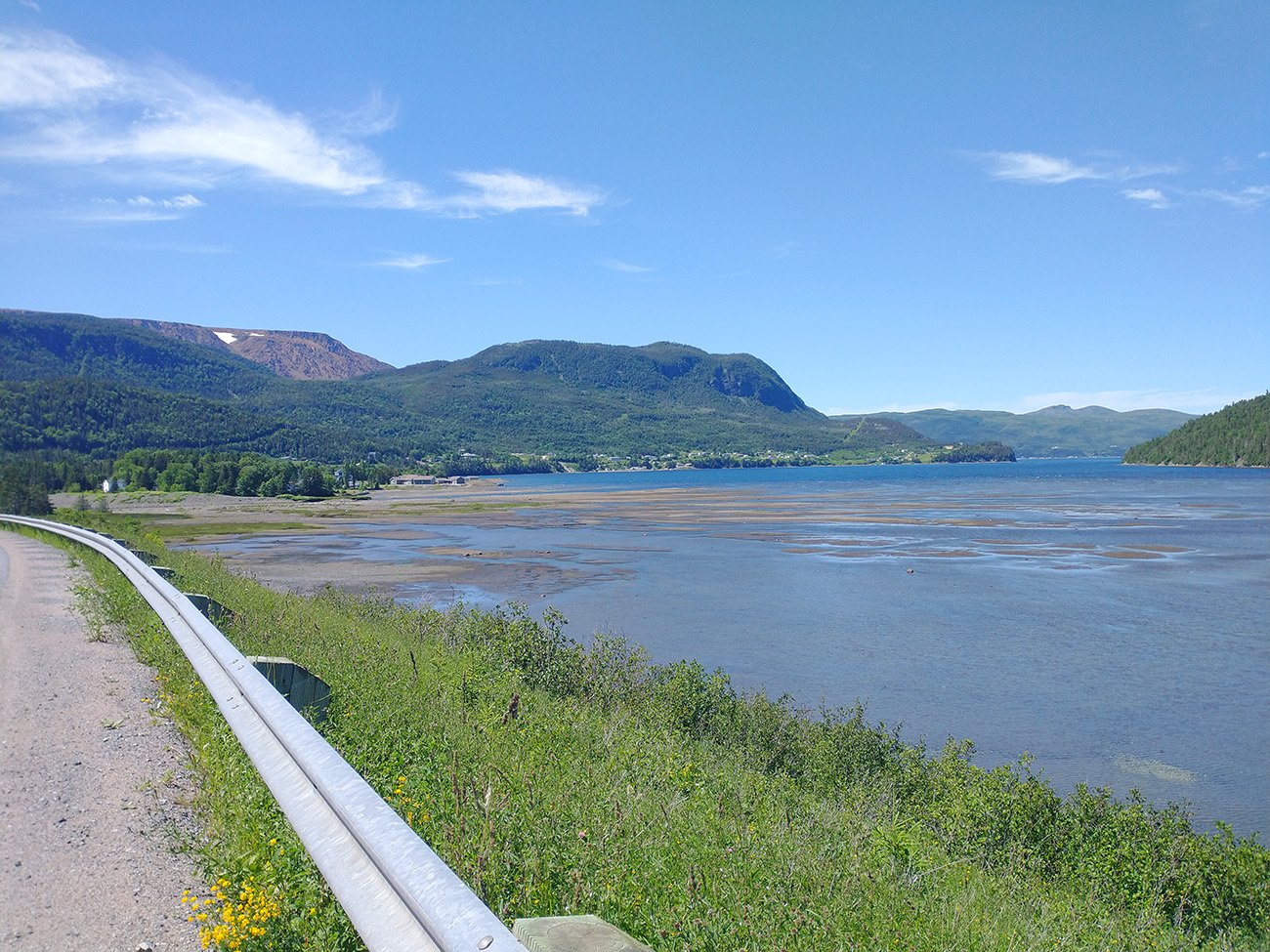
Another view of the mountains.
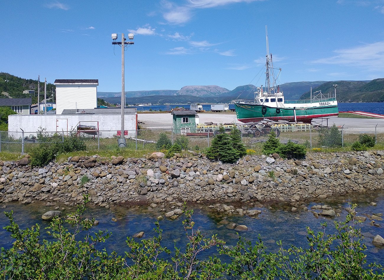
The ride passes through the small scenic town of Woody Point
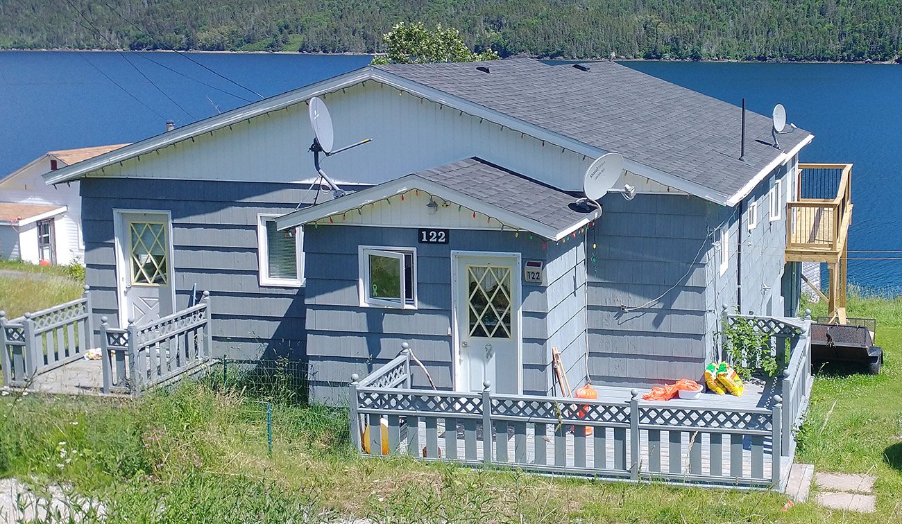
3 satellites? This dude's running a TV station apparently.
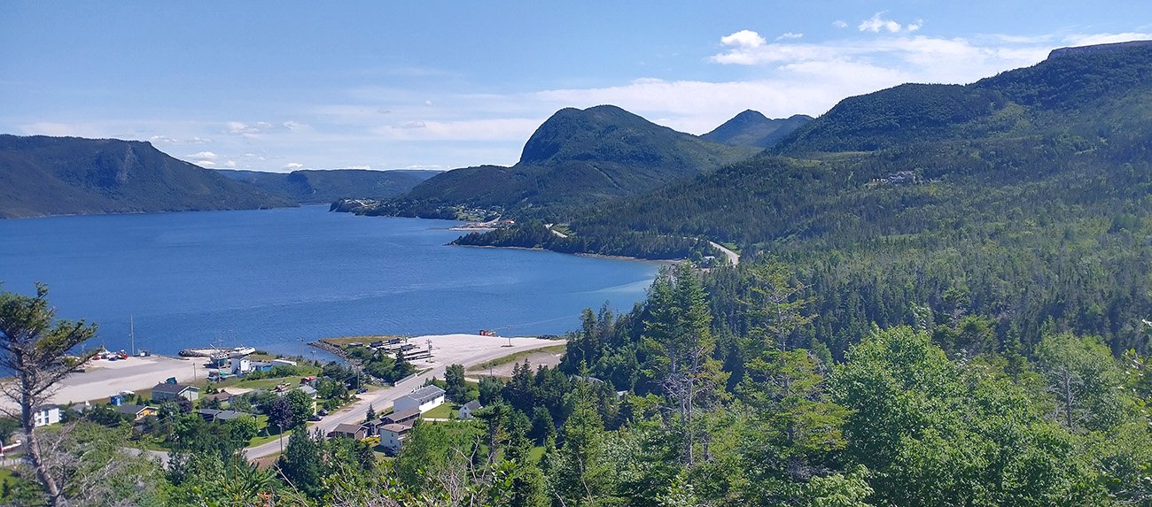
The views from this town are quite stunning. You could live there for real cheap. It's waiting for you!
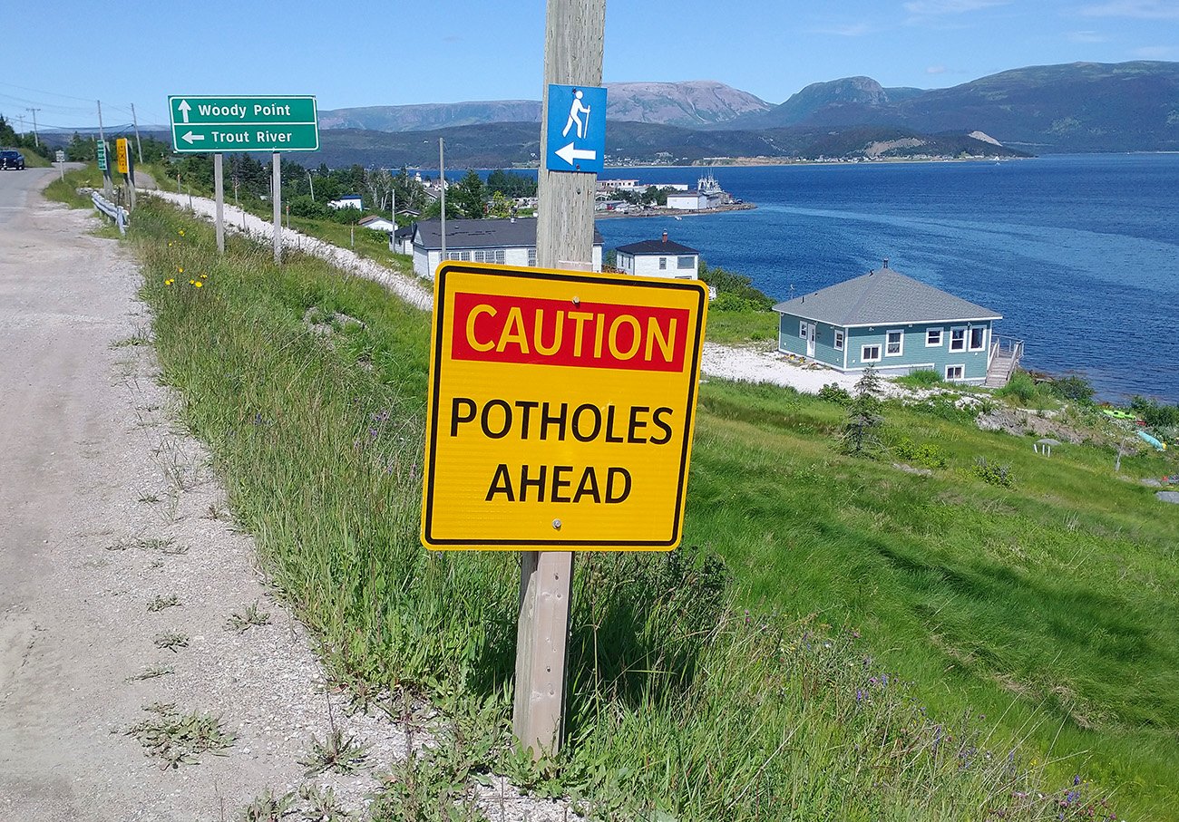
They should export these signs to Quebec, they'd be rich. I'd come to find dozens such signs all over the island, even warning of fixed potholes. So nice!
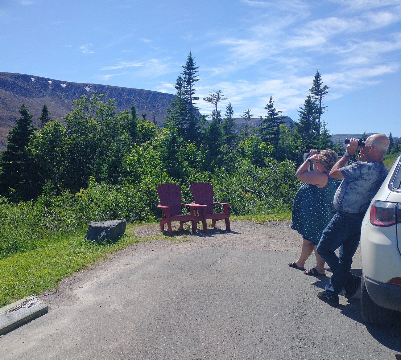
Some people watching the tablelands snow patch. Seemed to be something there because they were still looking when I came back.
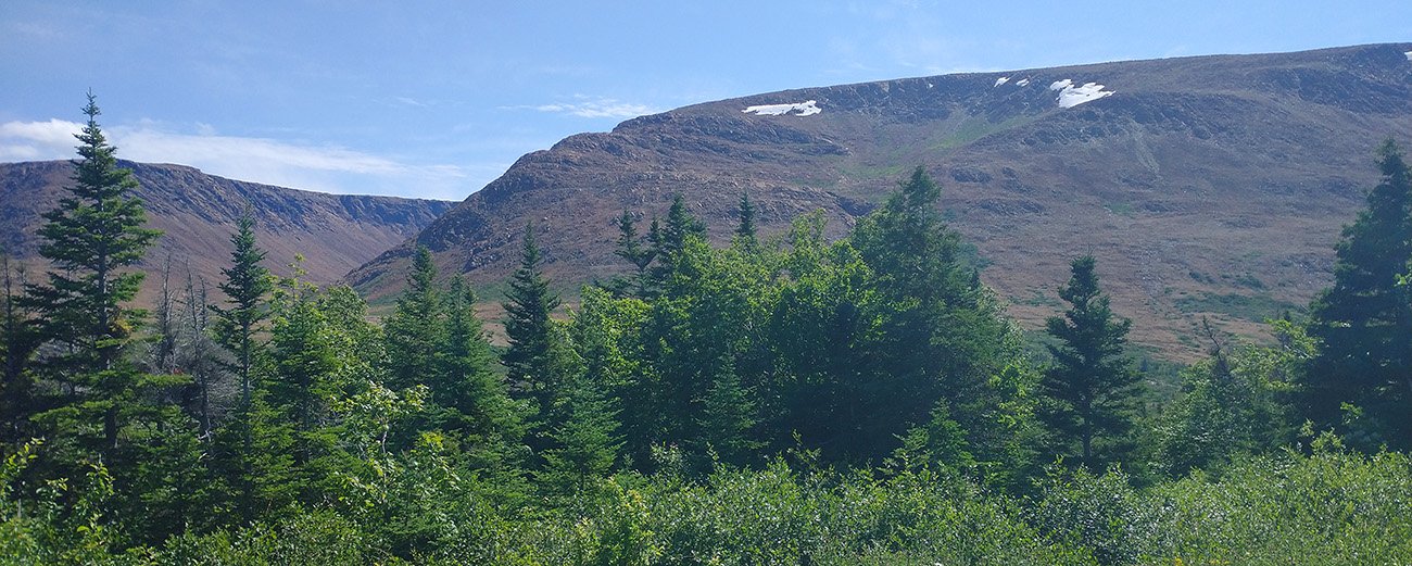
Really must be something in the winter here.
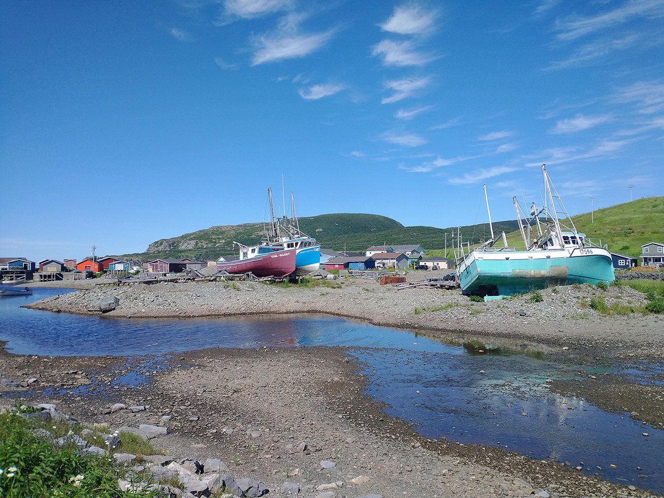
This ride ends in the bustling metropolis of Trout River...
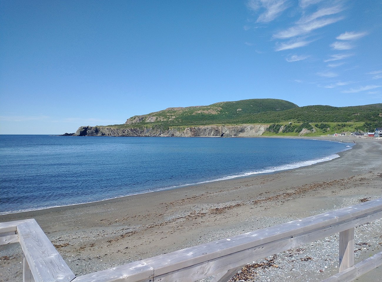
A blue whale washed up on these shores and they sold it to a museum. Not the worst thing for your town to brag about.
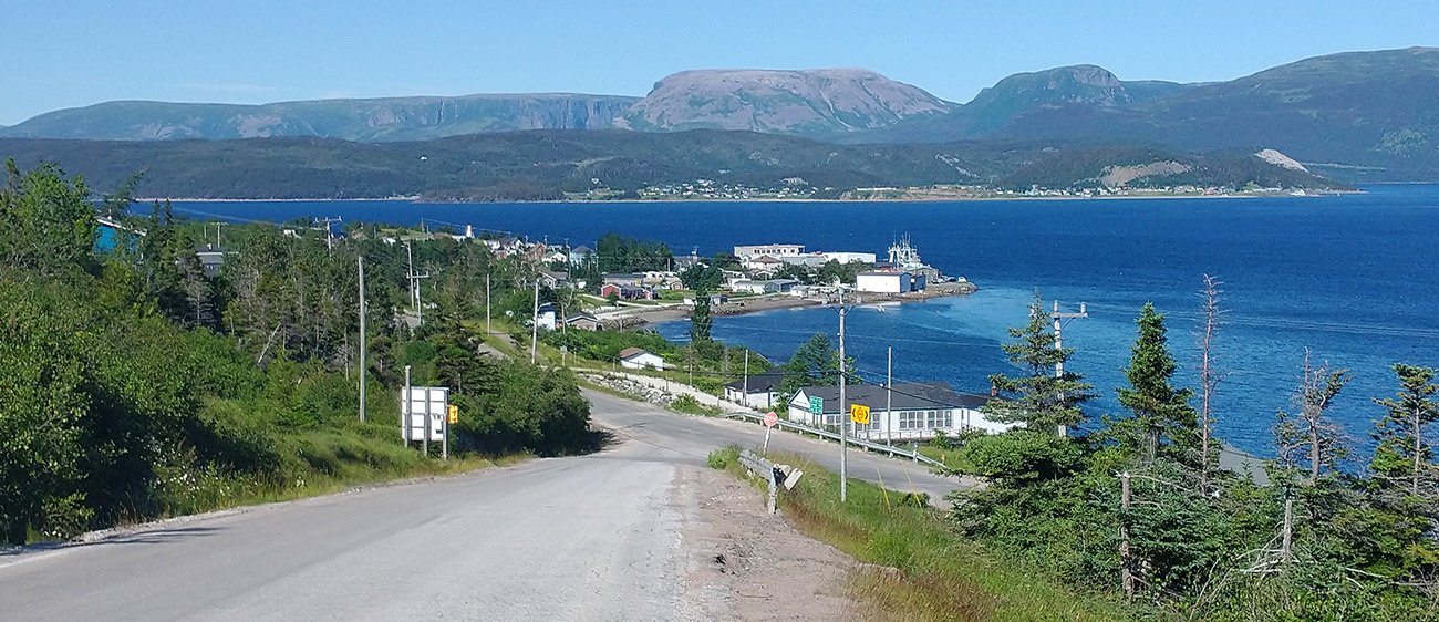
A last look back at Woody Point. You could afford a place here! You'd have a boat, a pickup truck and a dirt bike. What a life you'd have.
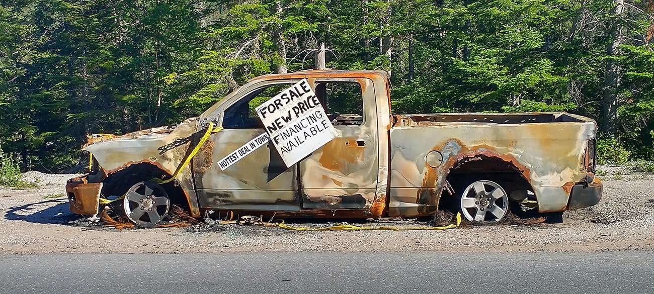
Already have a car, otherwise...
L’Anse aux Meadows is where people from Iceland established a camp about 1000 years ago. The entire area is viking themed and the…. very long… road that gets you there is called the Viking way. It’s 3 hours north of anything worth seeing in the Gros Morne national park, making this detour…. not super worth it…
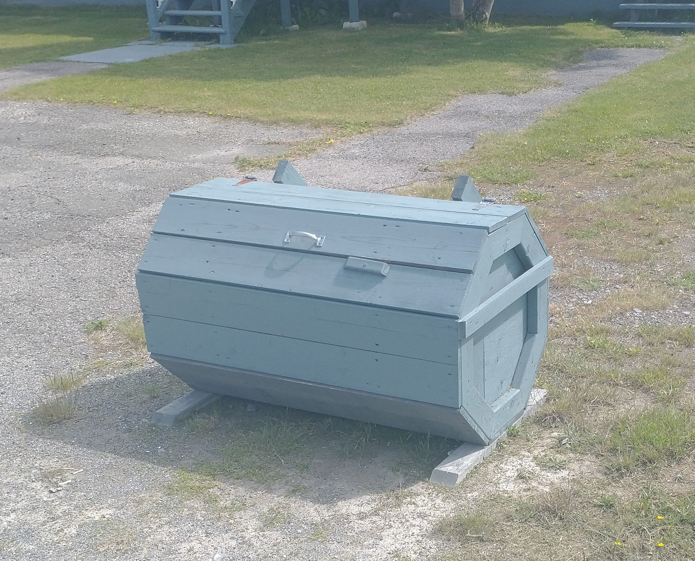
At some point I started to notice that literally every house had one of these strange boxes...
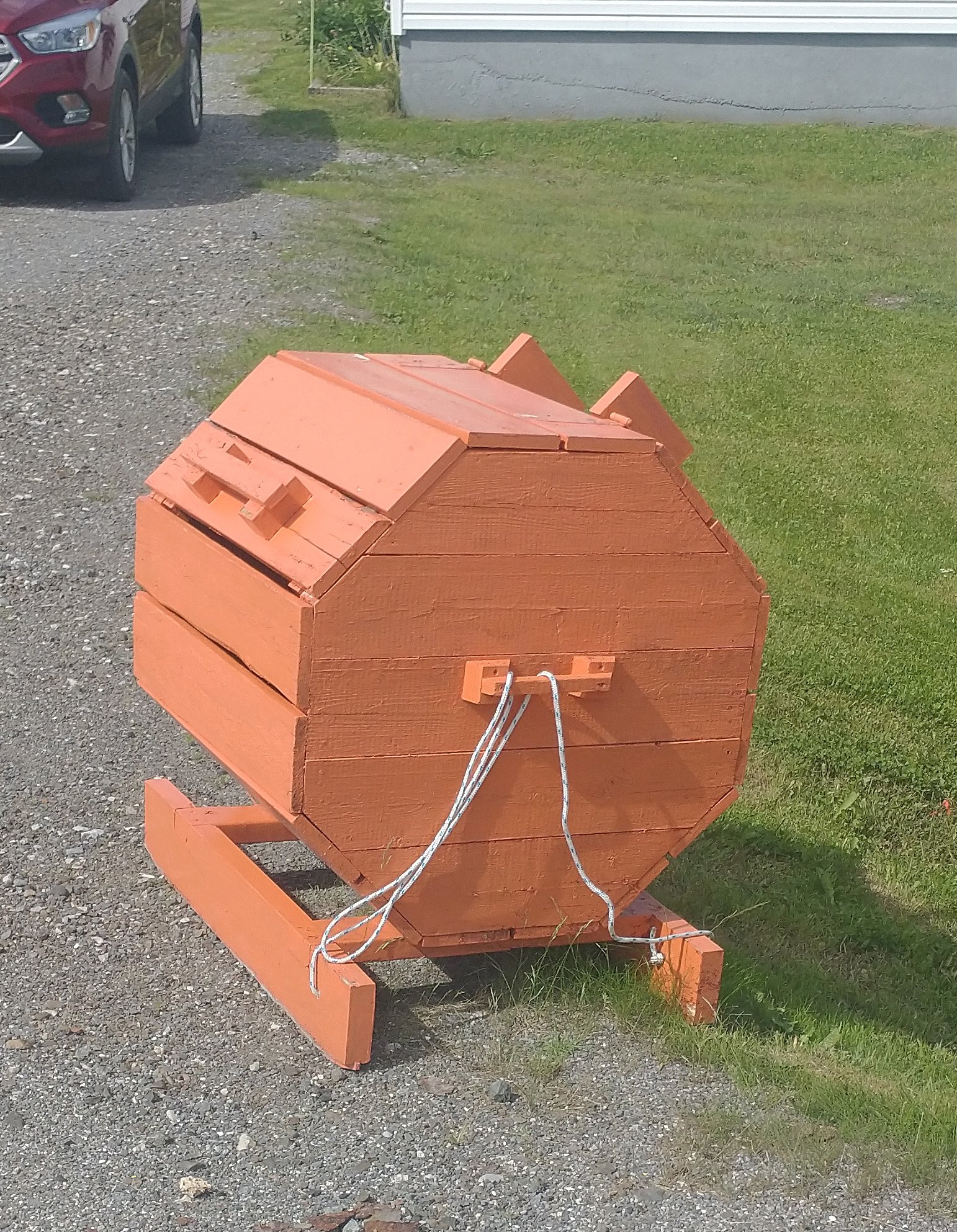
Apparently these are garbage cans designed to keep animals from feasting on your tasty trash. Why doesn't everyone have these? Are Newfoundland's animals more trash hungry?
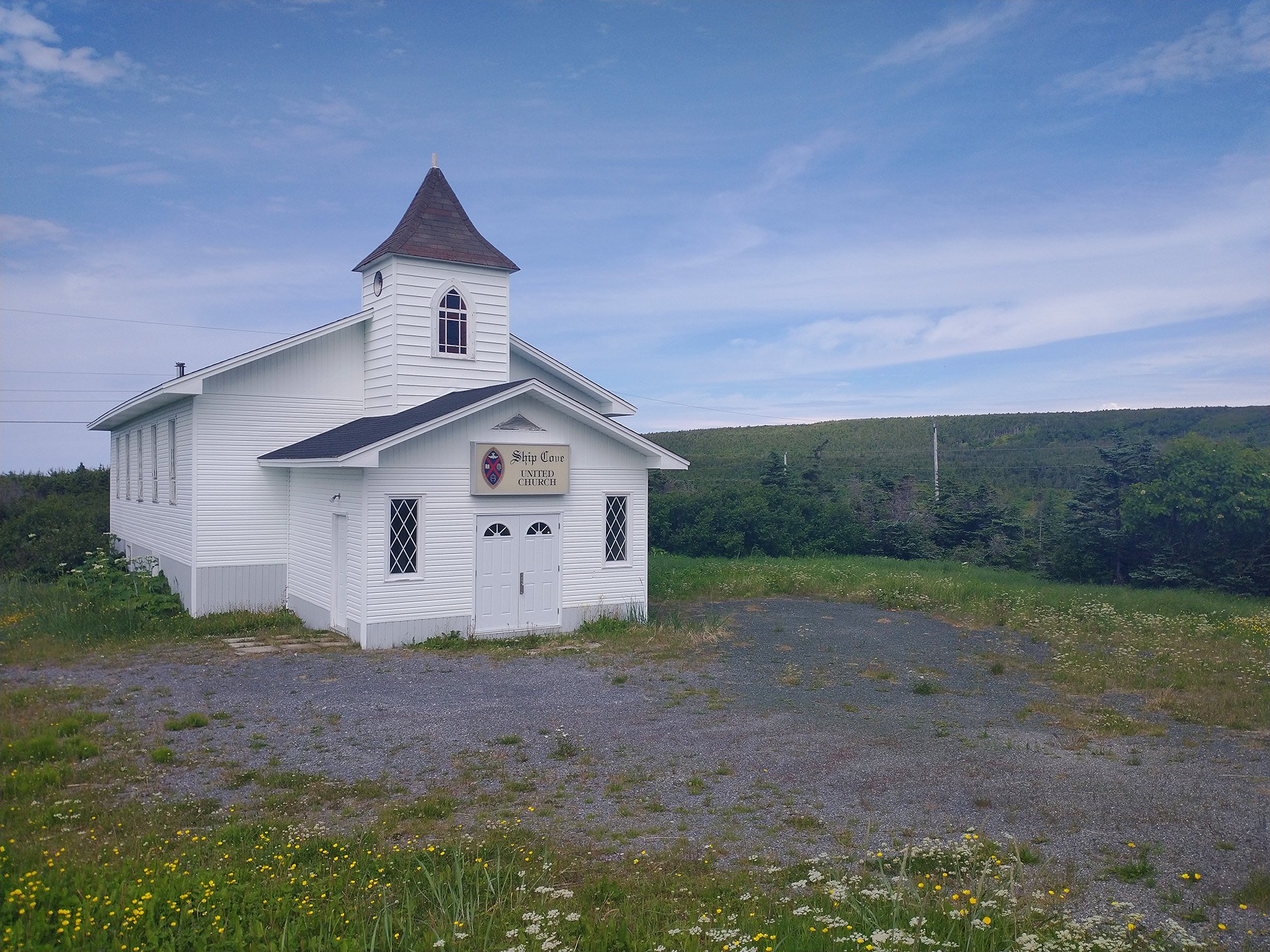
Cape Onion little town with its church. Every single town, no matter how small, has one.
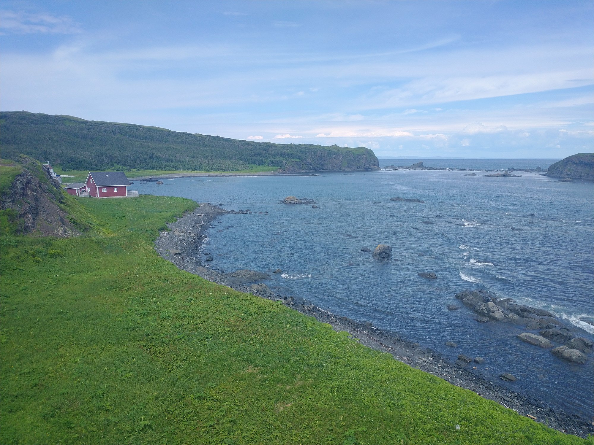
Beautiful view of the bay there. That house is worth 52$.
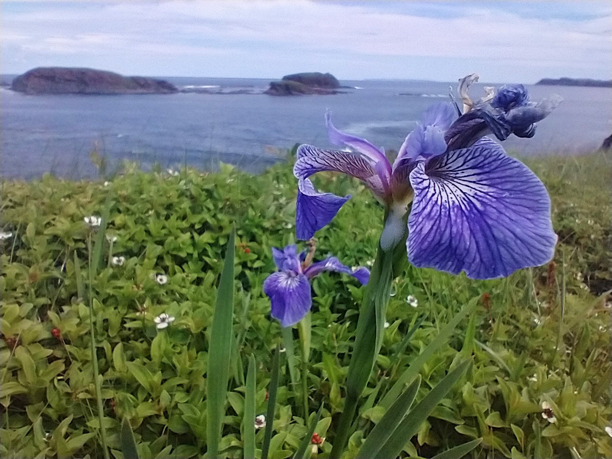
Don't know what these are, but they are nice!
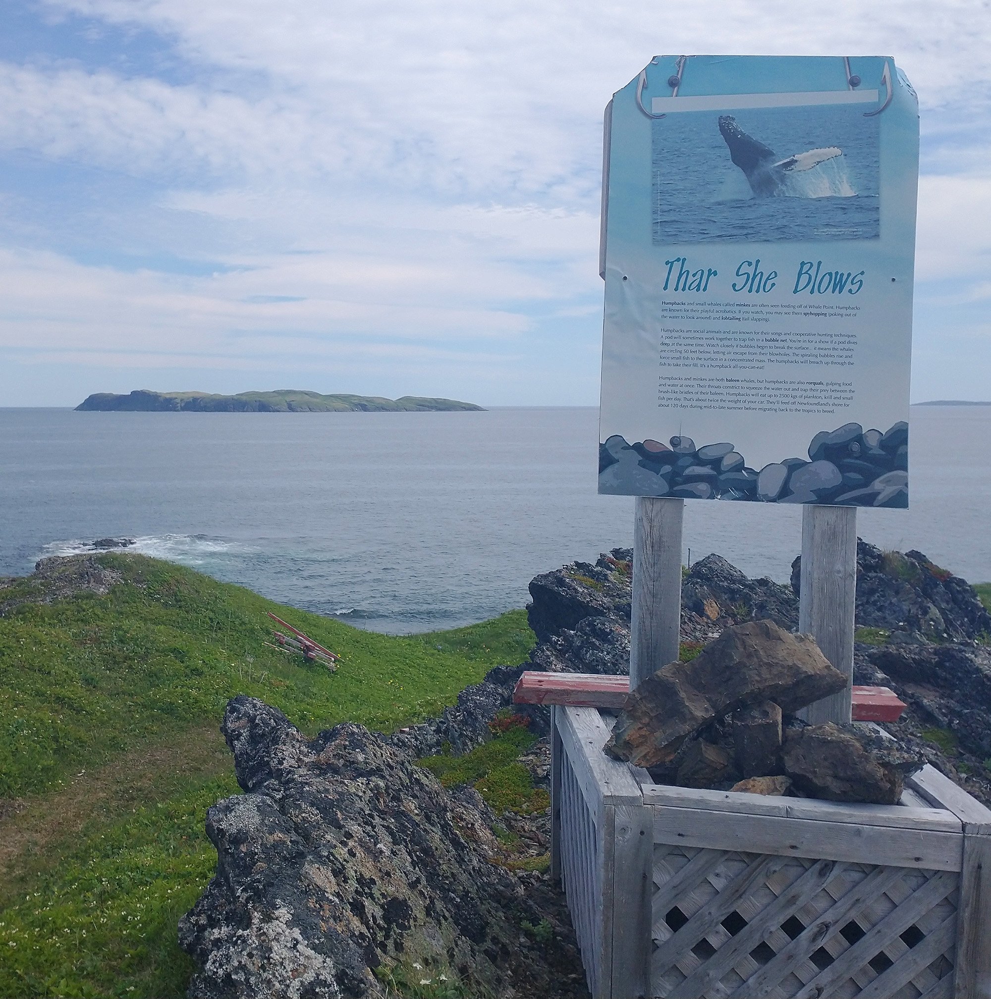
Promises of free whales. Sadly none today.
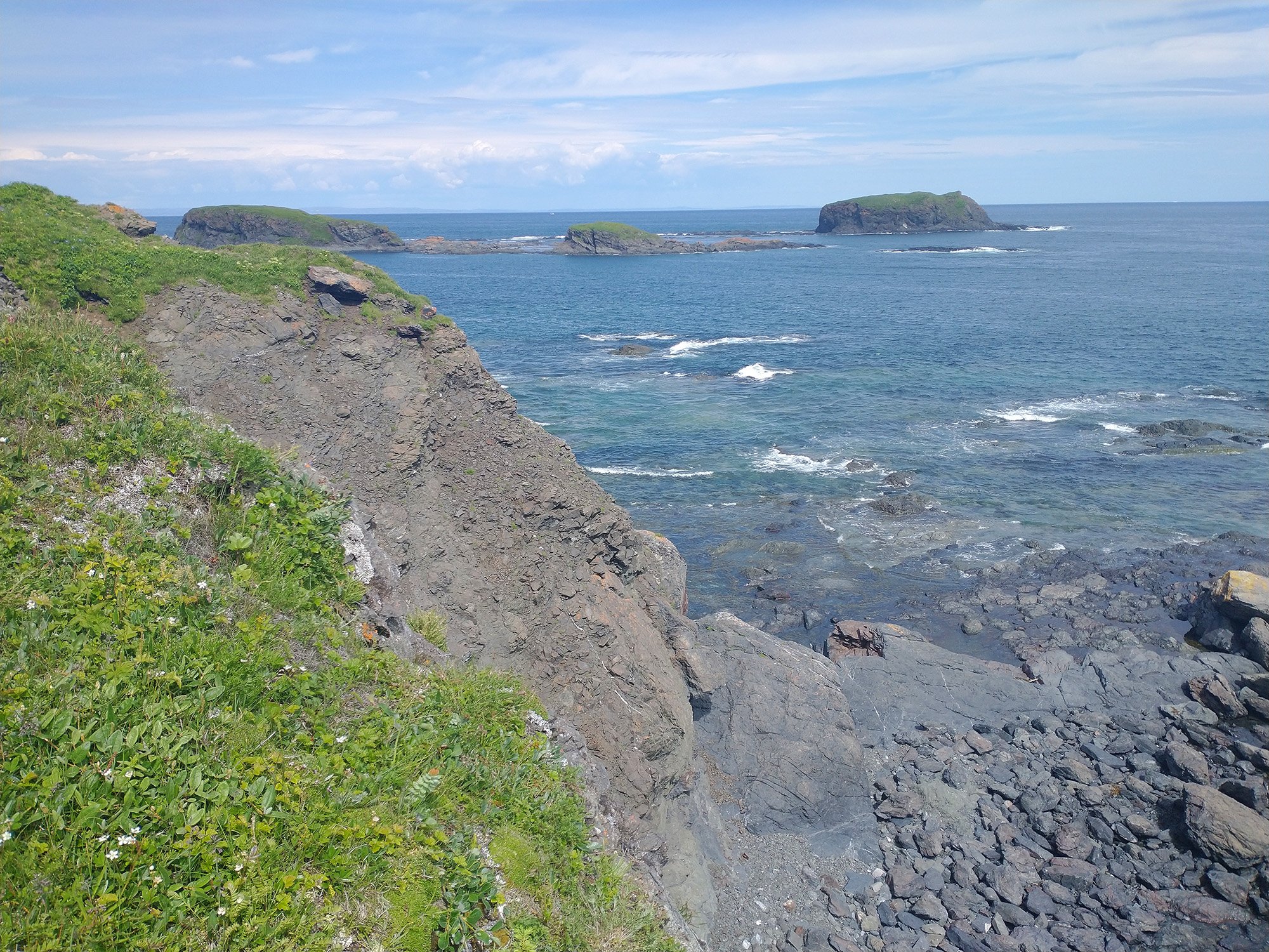
Just this amazing view of the cliffs. You can walk right up to the edge and throw yourself in the ocean, it's great.
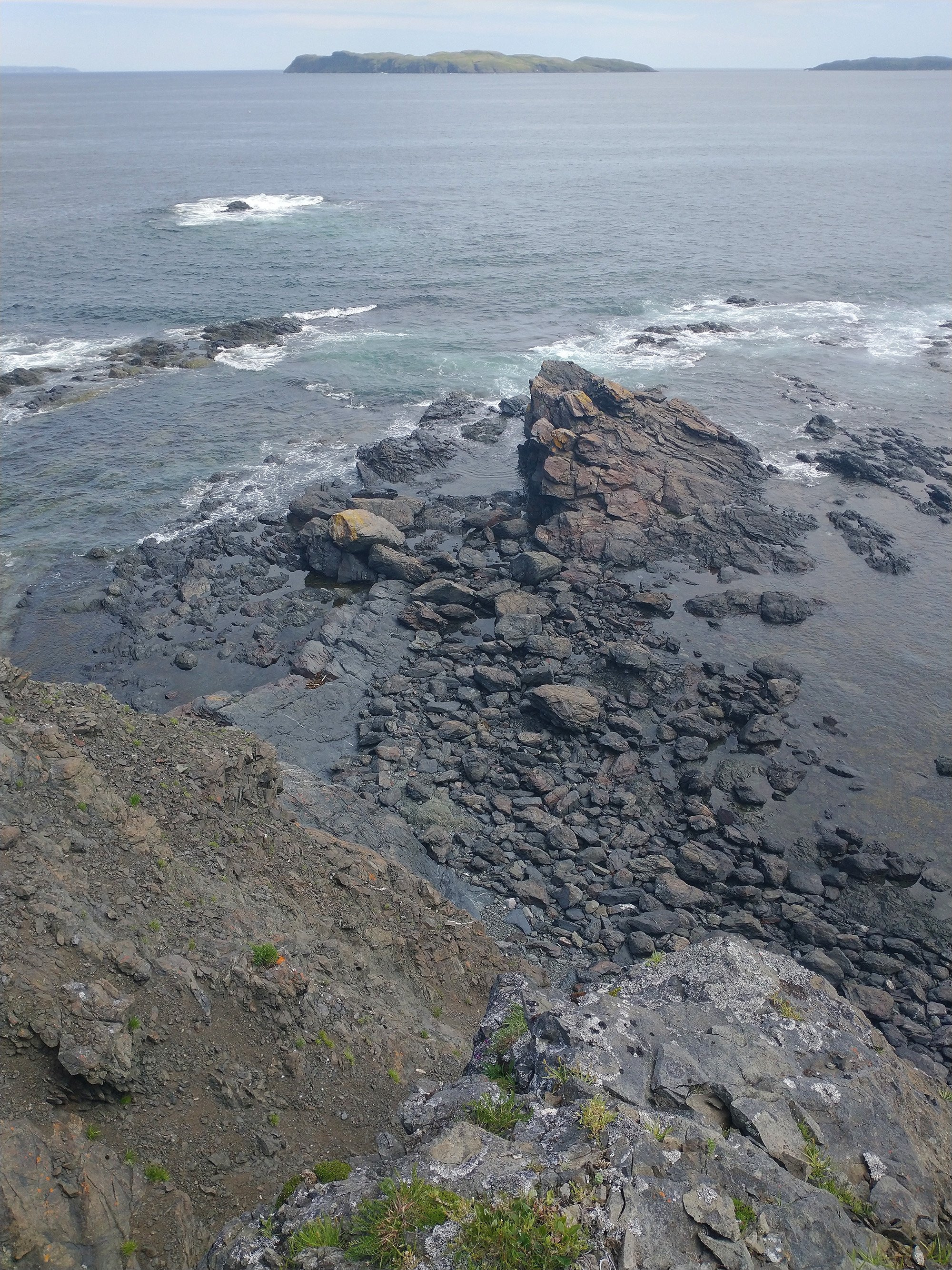
Nobody built a bunch of BS railing or fences to prevent tourism or collect money.
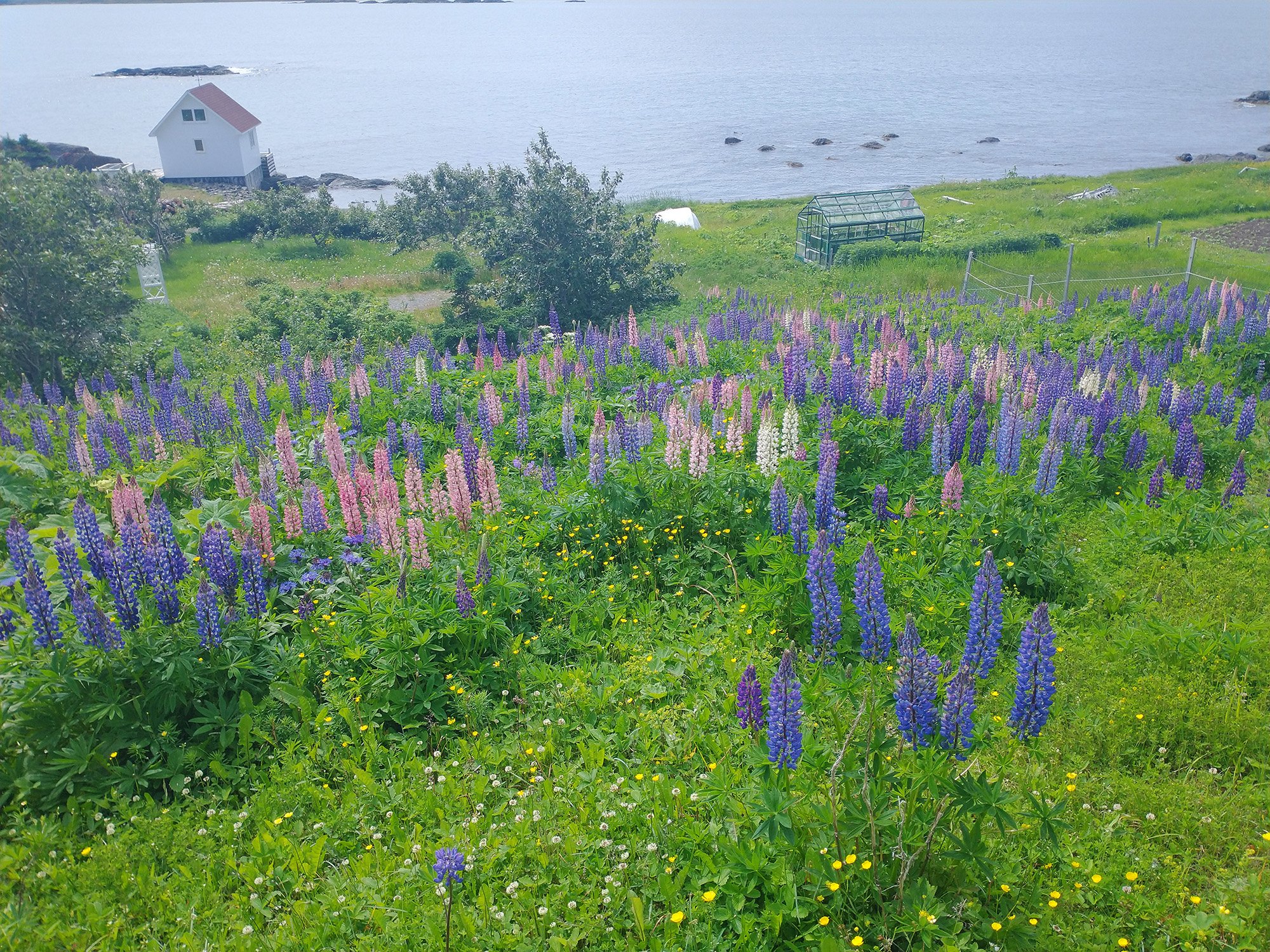
These flower cones that come in multiple varieties also common here, almost as if they were cultivated by somebody?
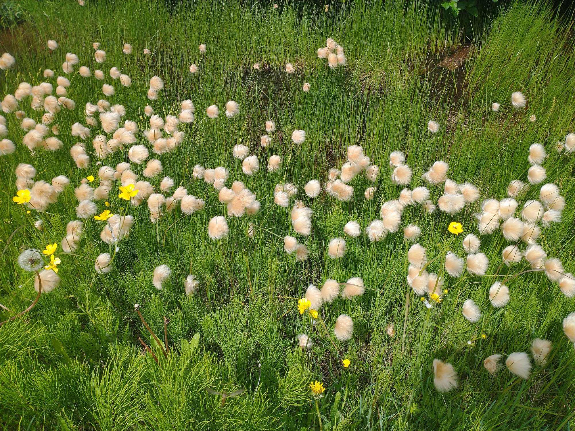
Look at these puffballs. What is that?
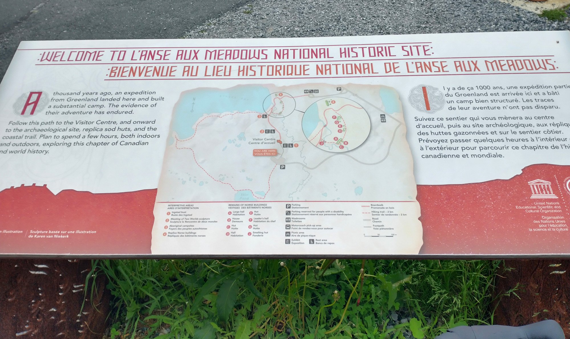
That's what you see if you reach L'Anse aux Meadows visitor center. They obviously put the cool stuff behind a paywall in their center... bleh
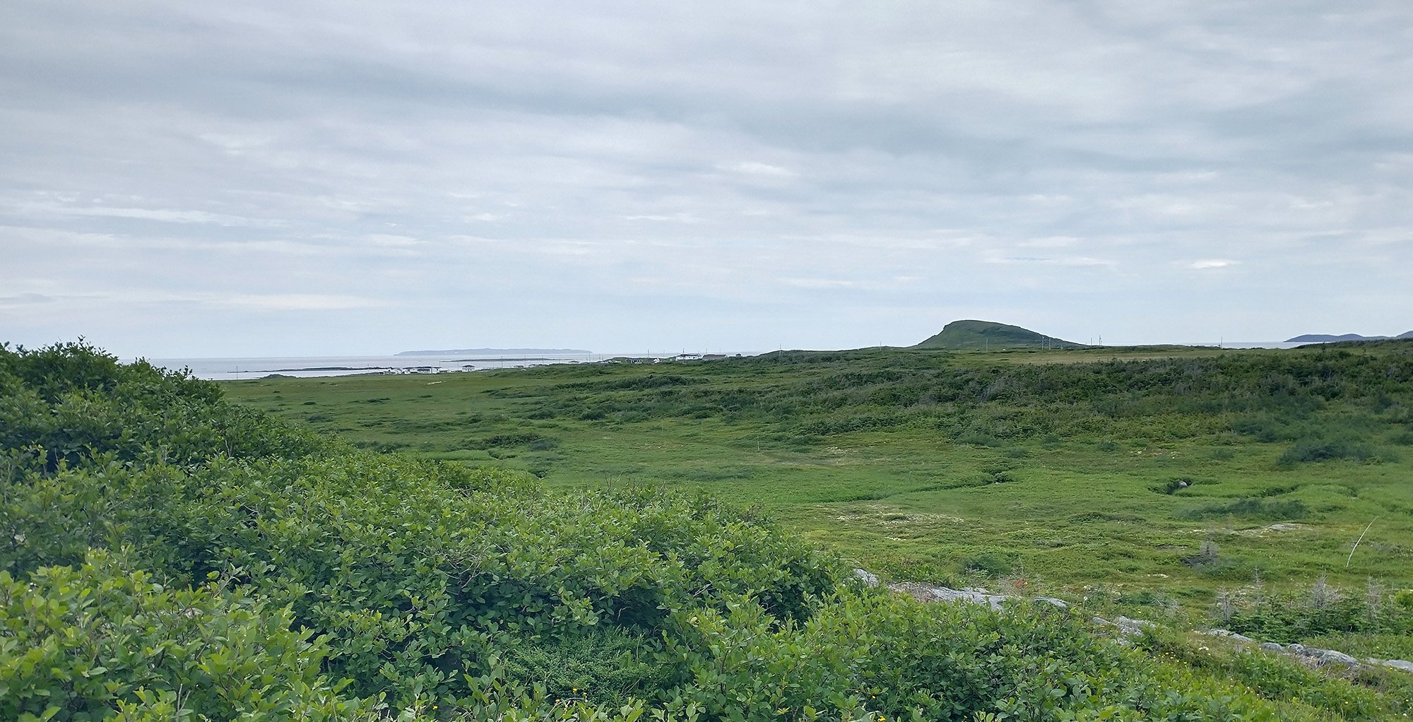
The weather was getting menacing so I didn't go inside. Enjoy this view of grass that the vikings didn't enjoy enough to stay.
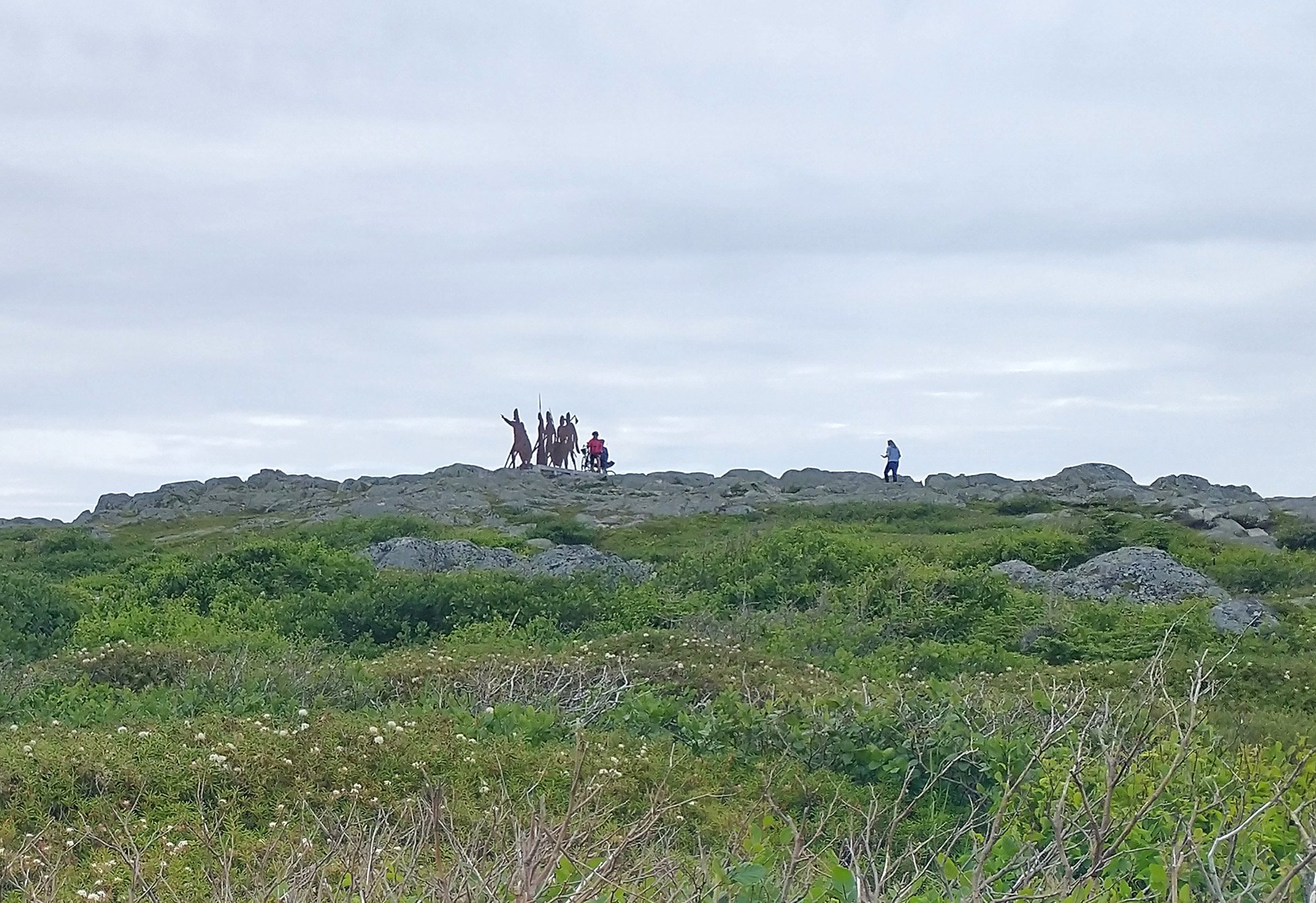
Little viking statues for tourists. Would have to climb a dirt trail. Pfff. No thanks.
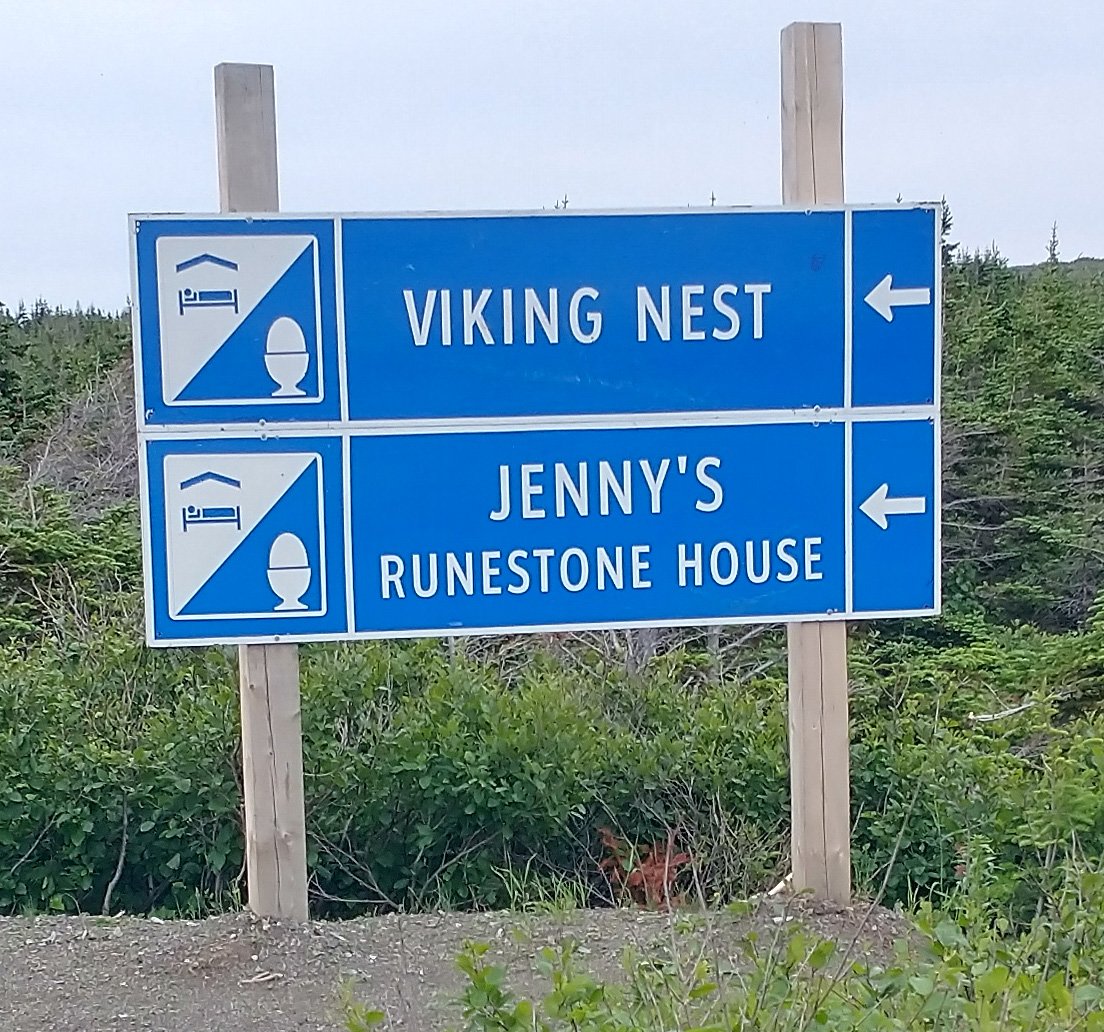
Oh yeah, gotta have your runestones.
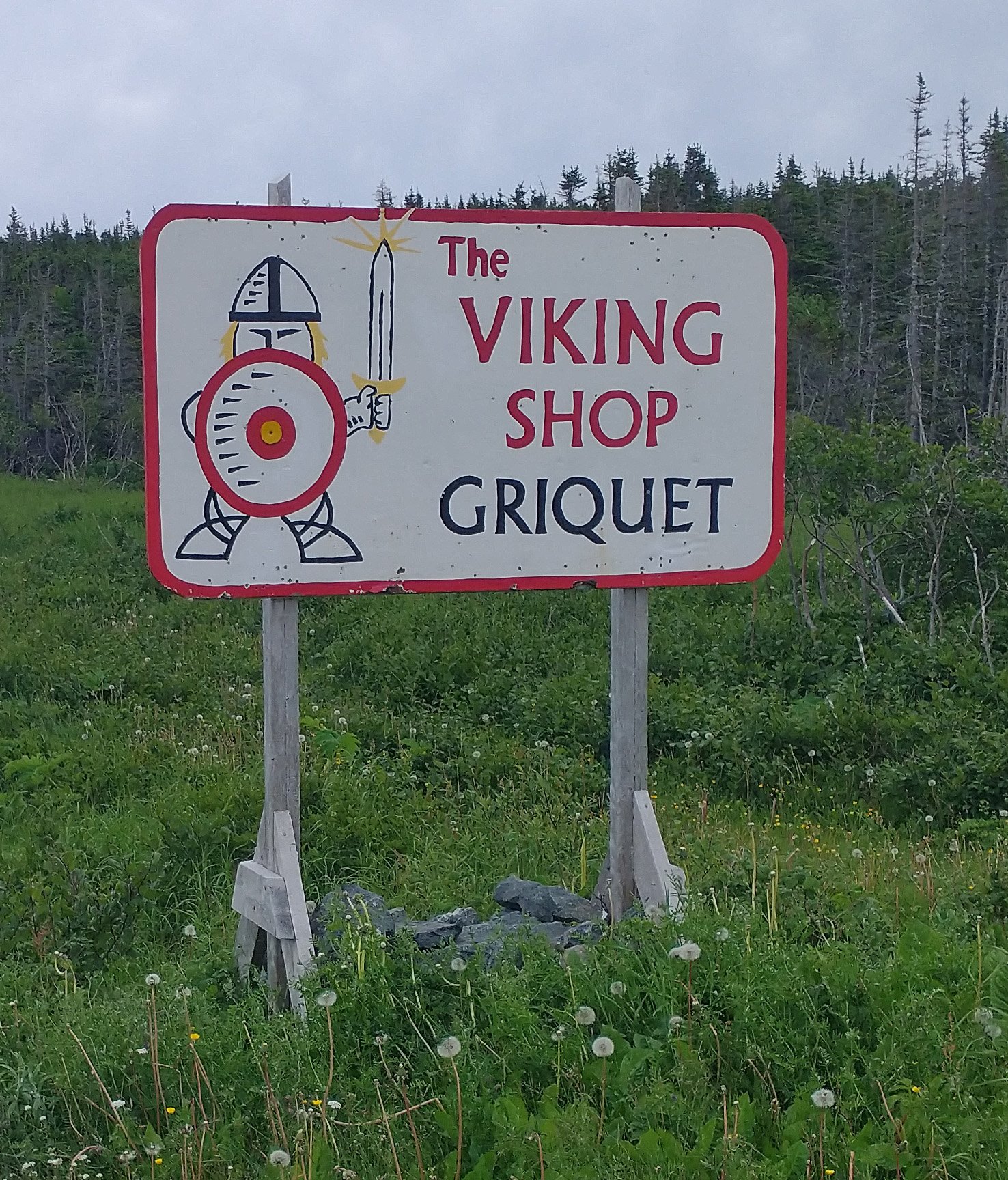
Lot of viking shops and restaurants in the little towns going there.
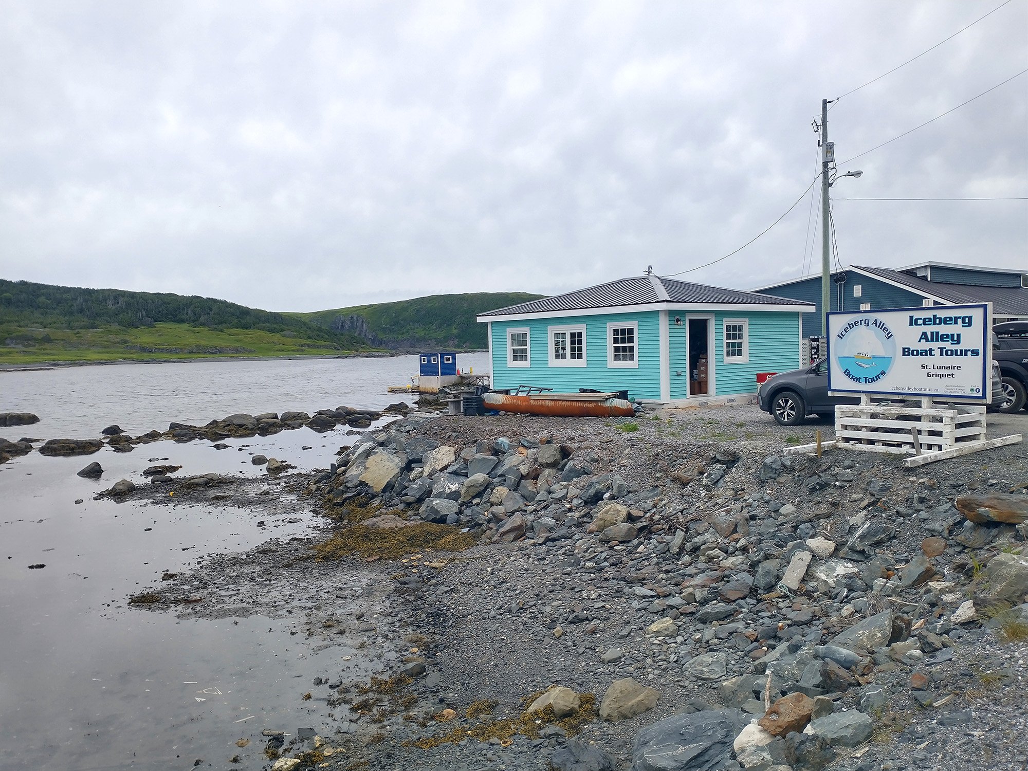
On the way you'll pass by "Iceberg Alley". It's too late in the season to see them this far though.
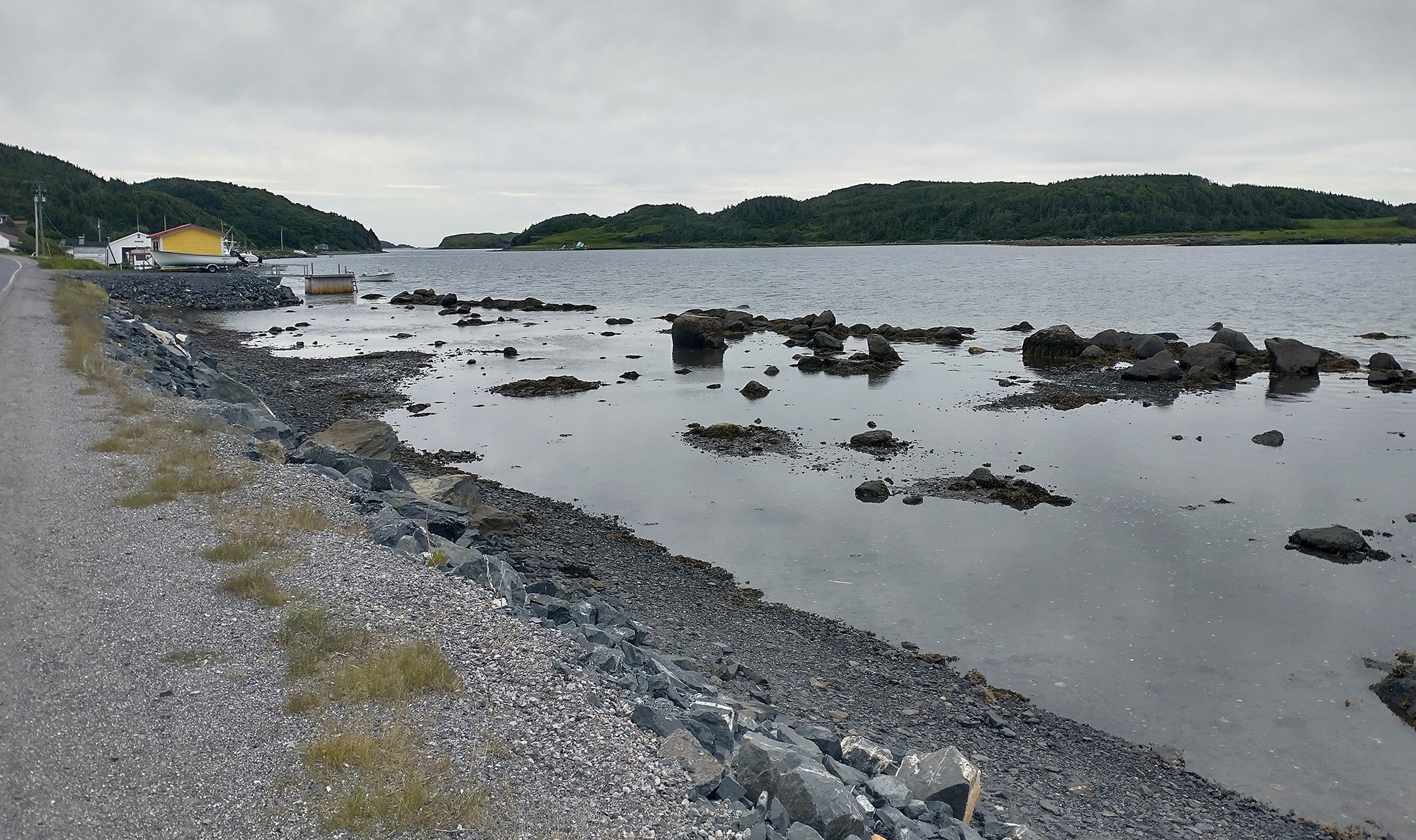
But you can take boat/kayak tours to see the icebergs/ seabirds/ whales in the area.
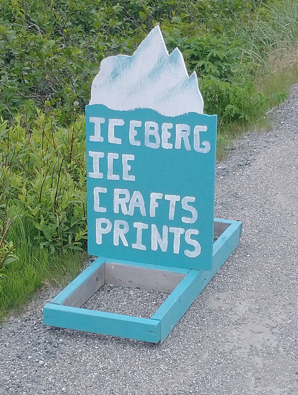
You can also buy "iceberg ice", also known as "ice".
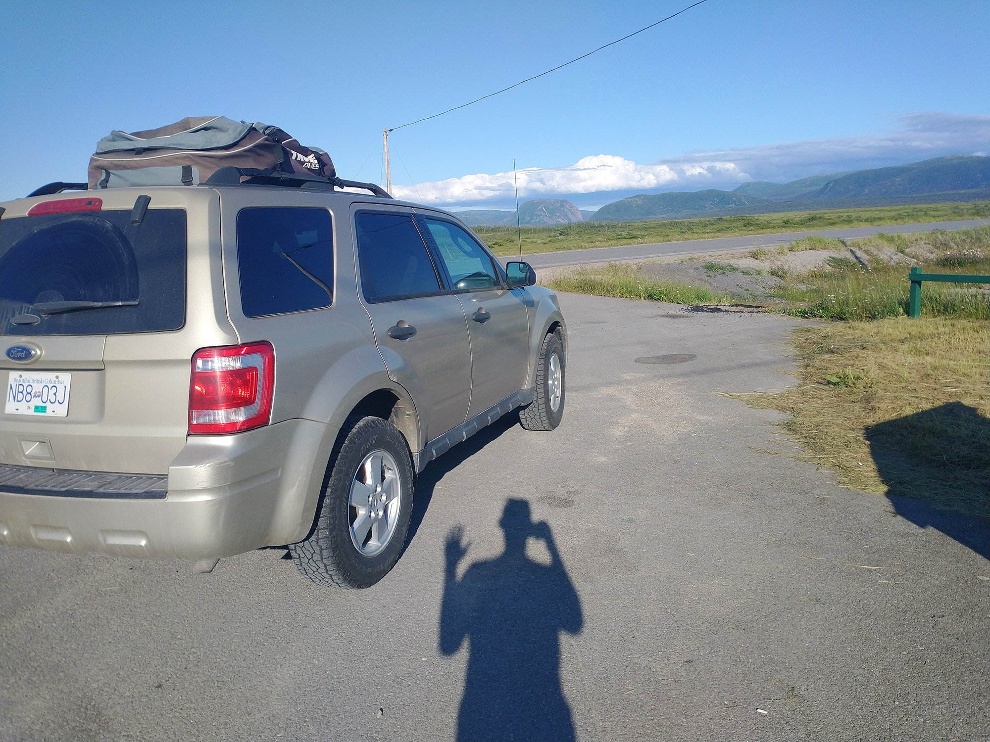
Finished early so decided to drive 8hours that afternoon/evening... This is Gros Morne mountain range, about 2-3 hours south.
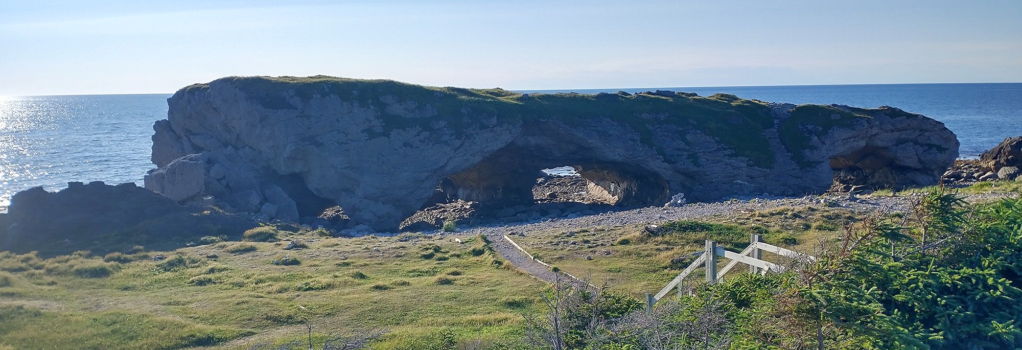
The Arches park. I was surprised to see that it's basically right on the road and you can just walk up to it.
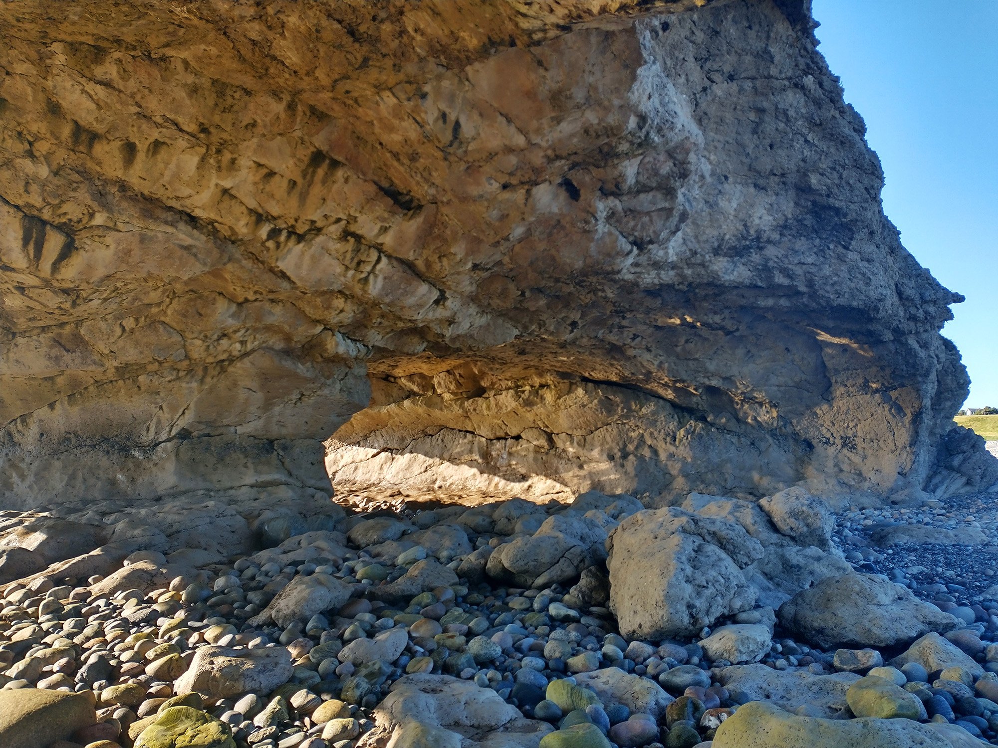
Almost feel like it's stealing. I get to see a rock with TWO holes and nobody's making me pay for parking?
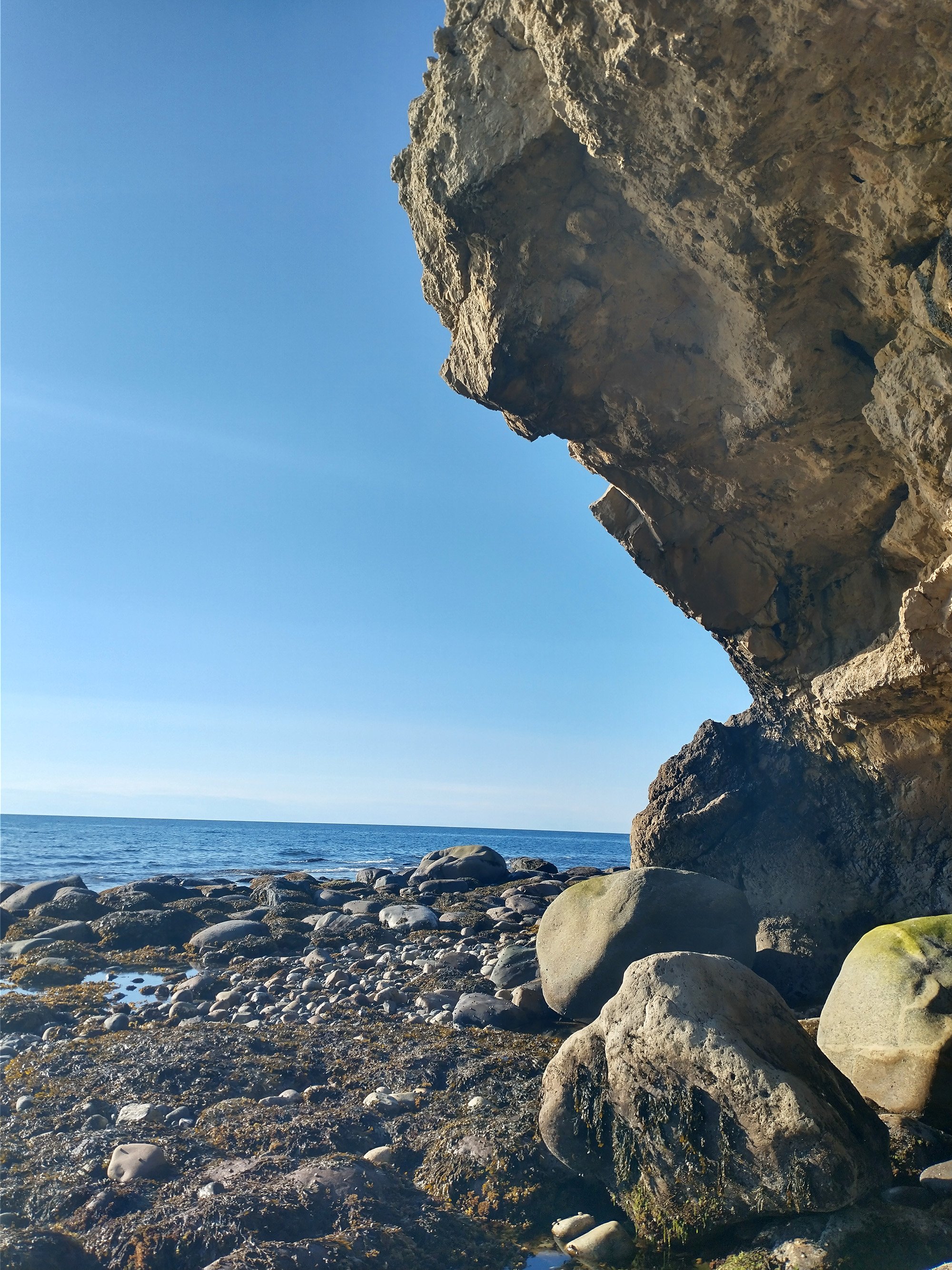
No guard to yell at me for touching the slime or picking up a rock? What is this alternate reality?
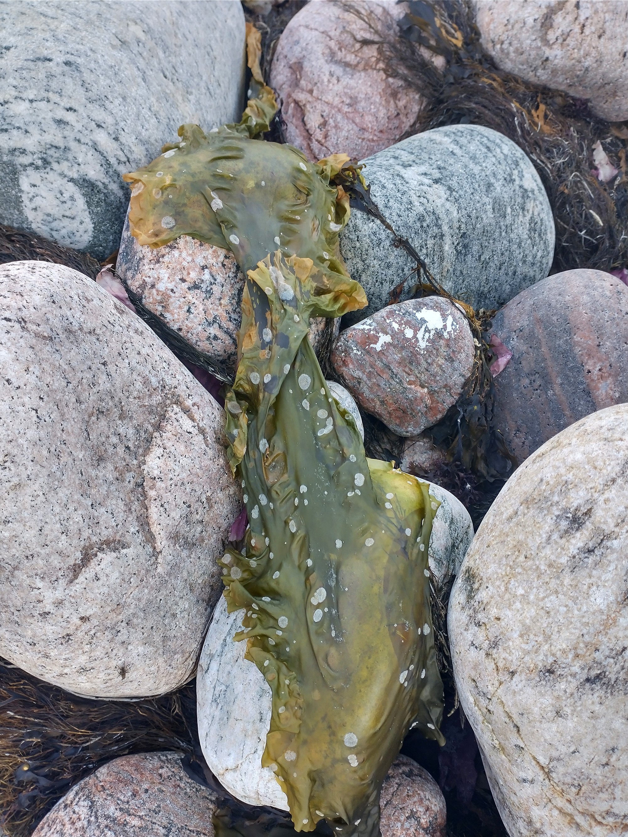
An asian would pay a lot of money for this sea lettuce. Probably.
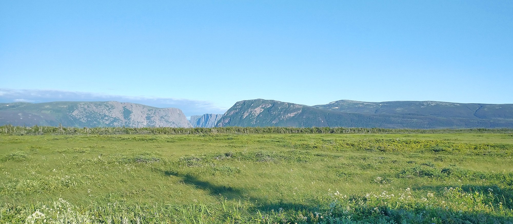
As you keep driving south you're treating to one of the most amazing drives in all of Canada as you drive along the Gros Morne mountain range.
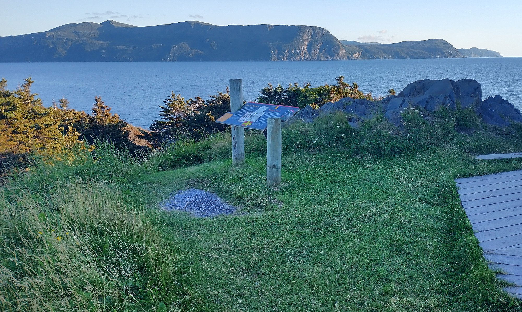
Eventually making it to Rocky Harbor, which seems to be the tourist destination of the area. It's absolutely breathtaking as you descend into the town from the highway. Should have biked there.
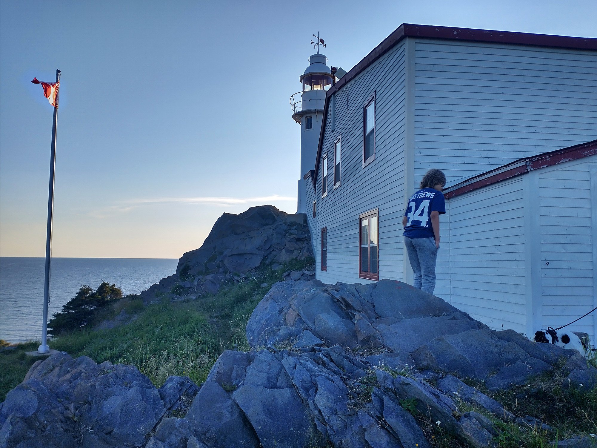
Little lighthouse lookout. Lots of people. The town itself has lots of restaurants/hotels/tours.
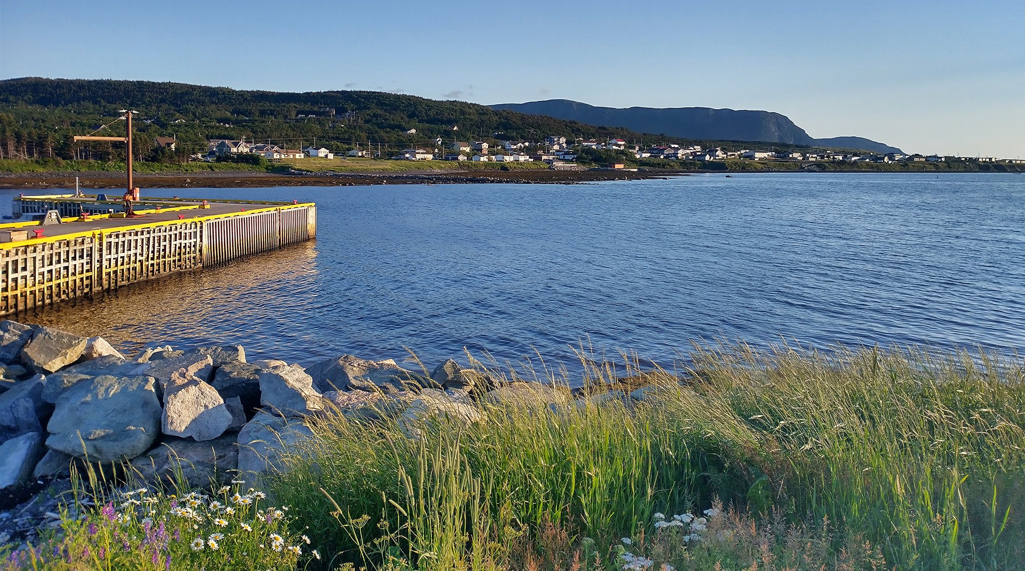
Just a really beautiful town. Nothing comes close in BC as all the badass real estate costs infinite dollars or is turned into a park.

Mountains in the distance. I think you can drive much closer. Would be worth a visit back perhaps?
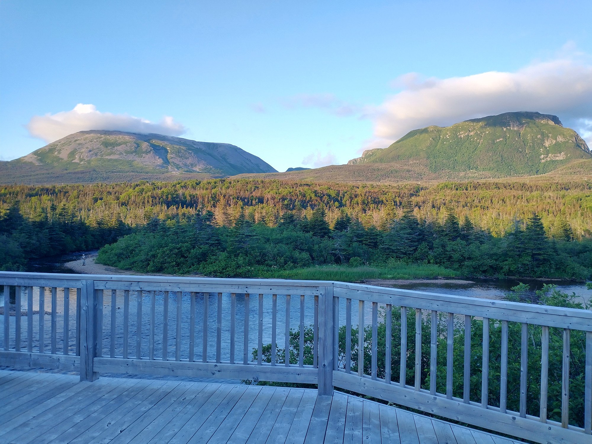
Gros Morne catching some clouds. Something I've seen a few other times that week as clouds/fog patches get trapped on top of mountains.
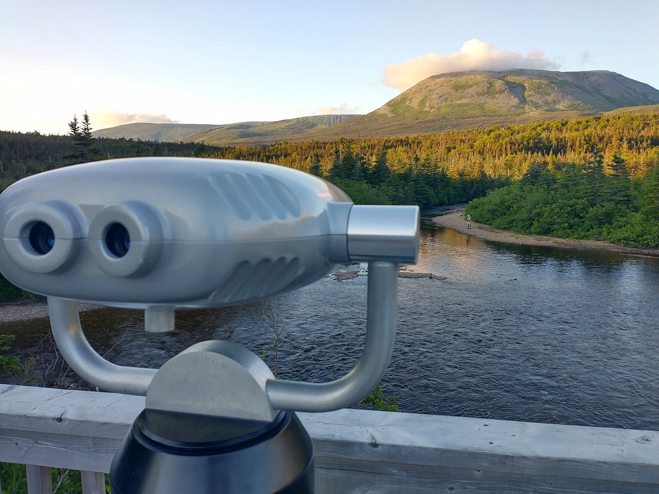
Hey there's a guy fly fishing there. Hm. I wonder if my phone can see through these...
Yes, yes it can.
This place is super out of the way. Forecast was once again for rain at some indeterminate time that day. I passed through rain clouds driving up this road but once there the sky seemed clear again. Just like on Vancouver Island, the weather here is really erratic and clusters of clouds will be raining down on some small part of Newfoundland while others are completely dry…
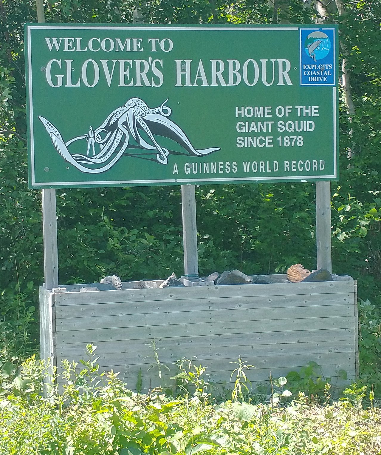
So the story of this place is that in the 1800s a giant squid washed up on shore and to this day remains the largest ever found
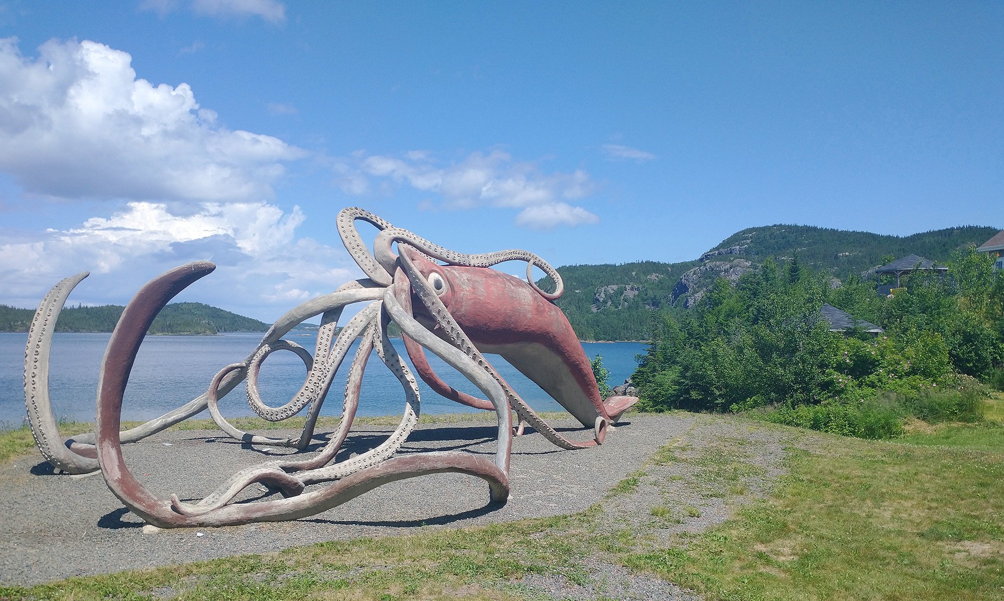
So they built a life-sized replica of their best guess as the the squid's actual size. The fishermen turned it into dog food before it could be properly studied...
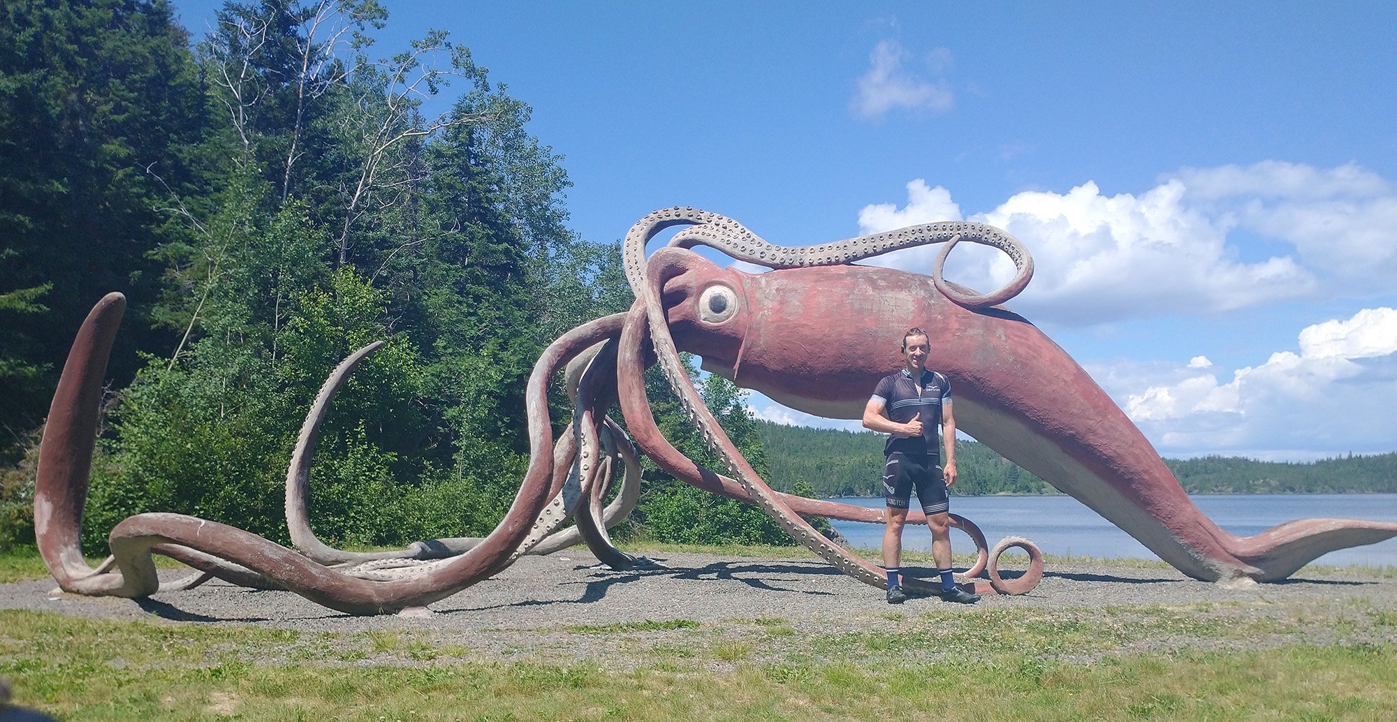
What a monster. But cool squid statue though.
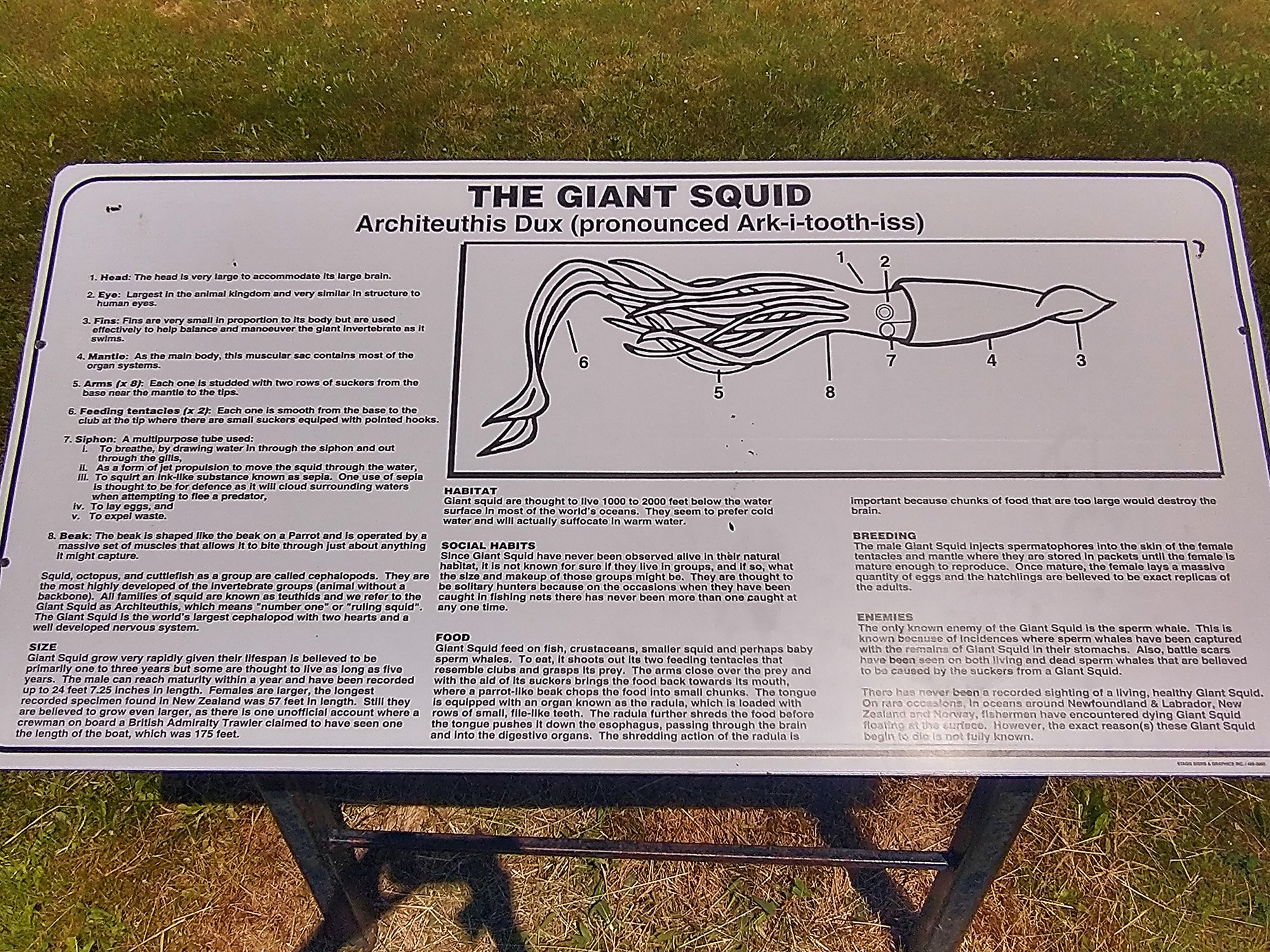
Here you go, learn about squids.
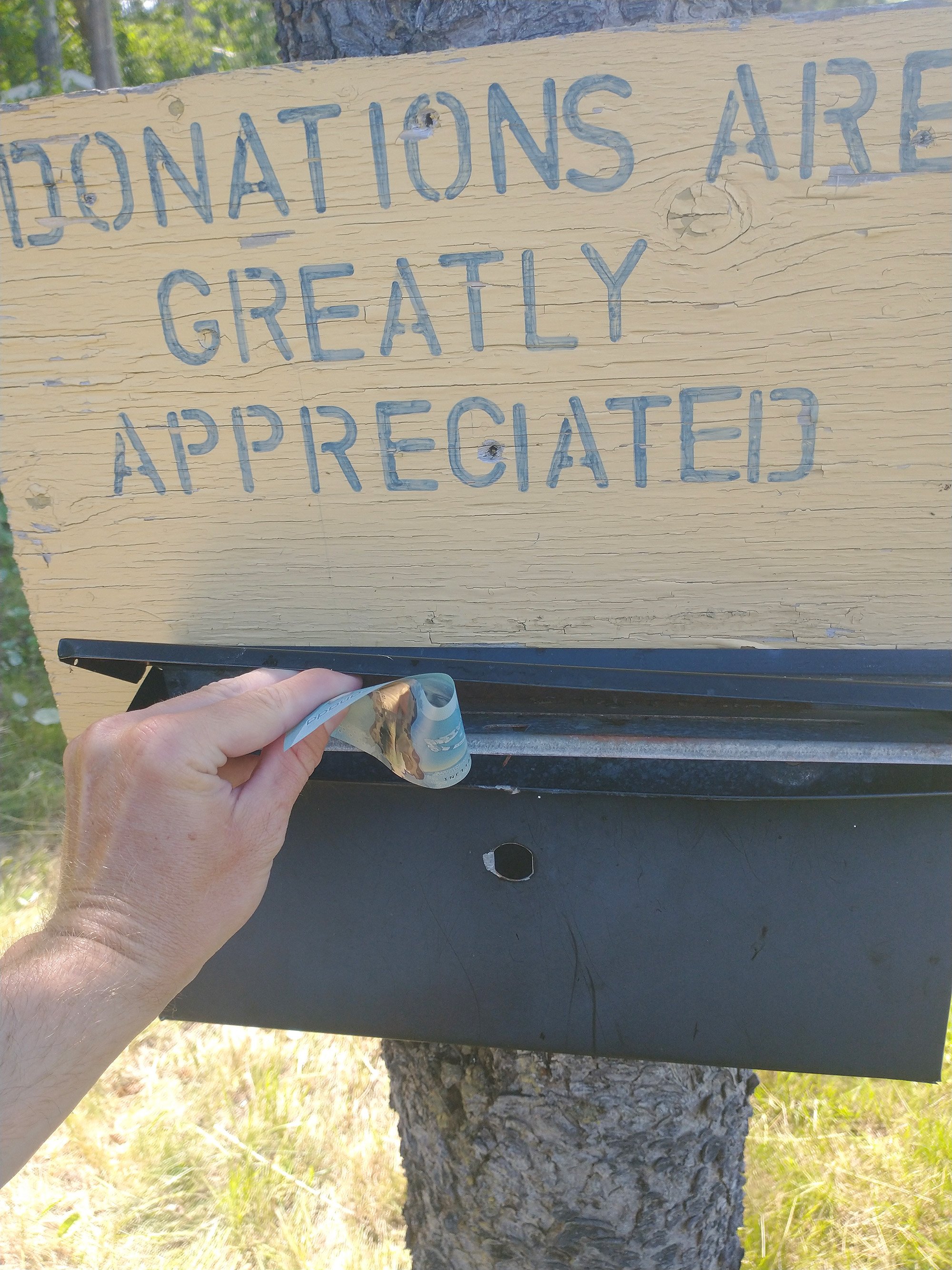
For a little bit of paint on your squid
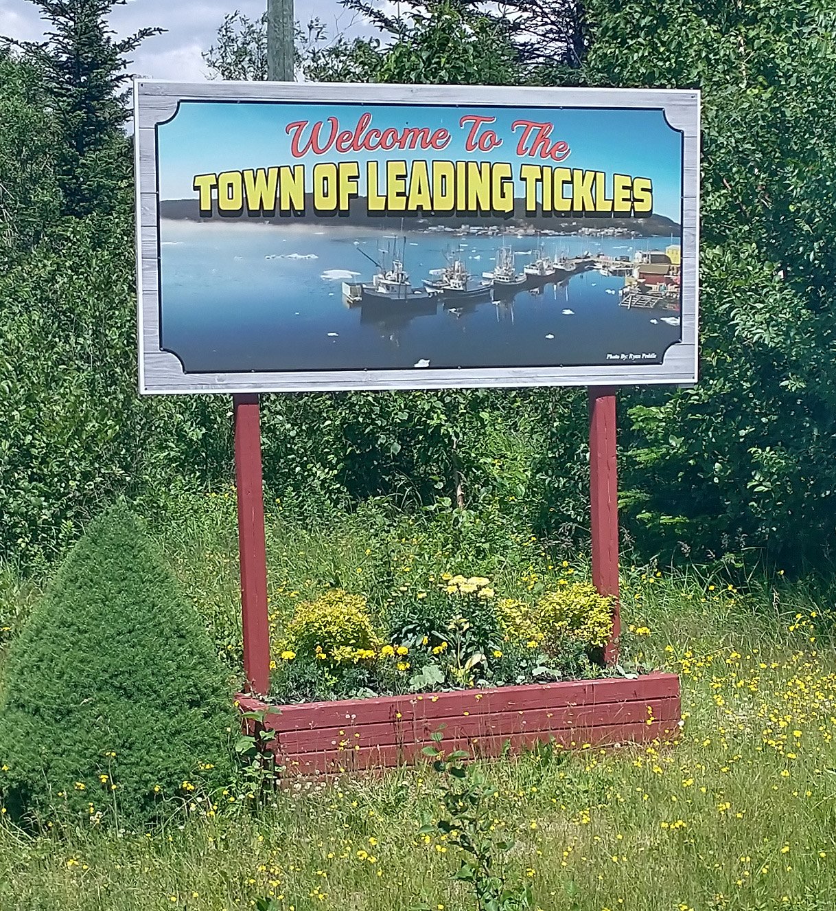
I had cut the squid ride way short so I decided to keep going north to this small town.
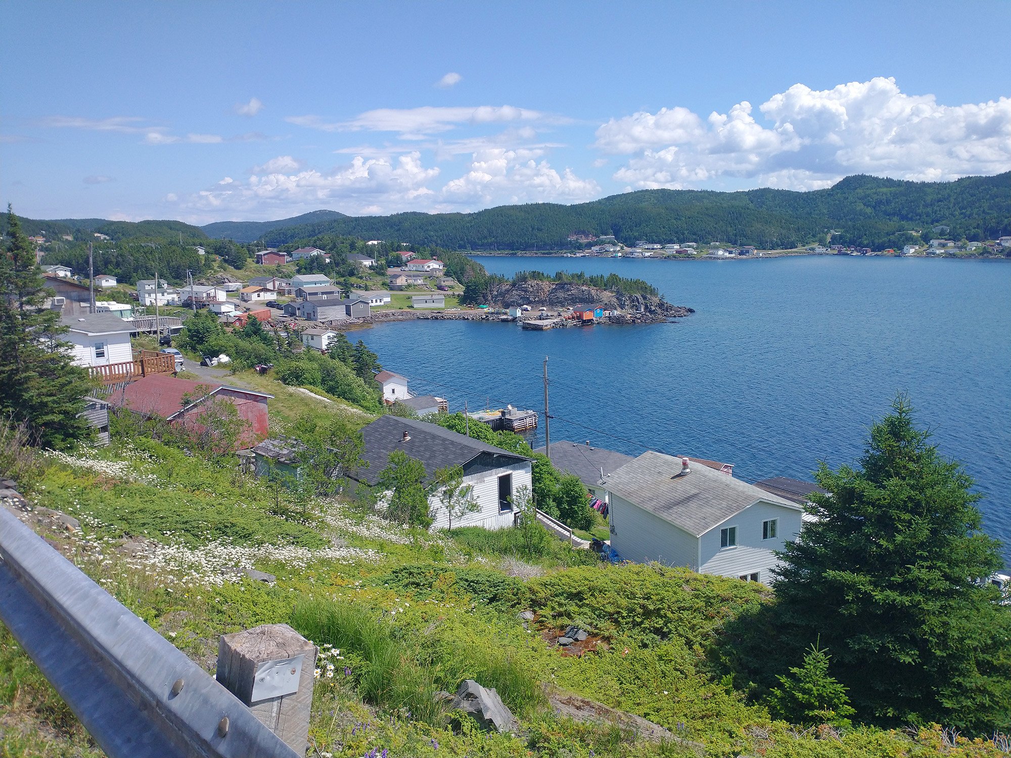
Again any time you get to the ocean you find a tiny beautiful town with 50 people living on a cliff next to the ocean.
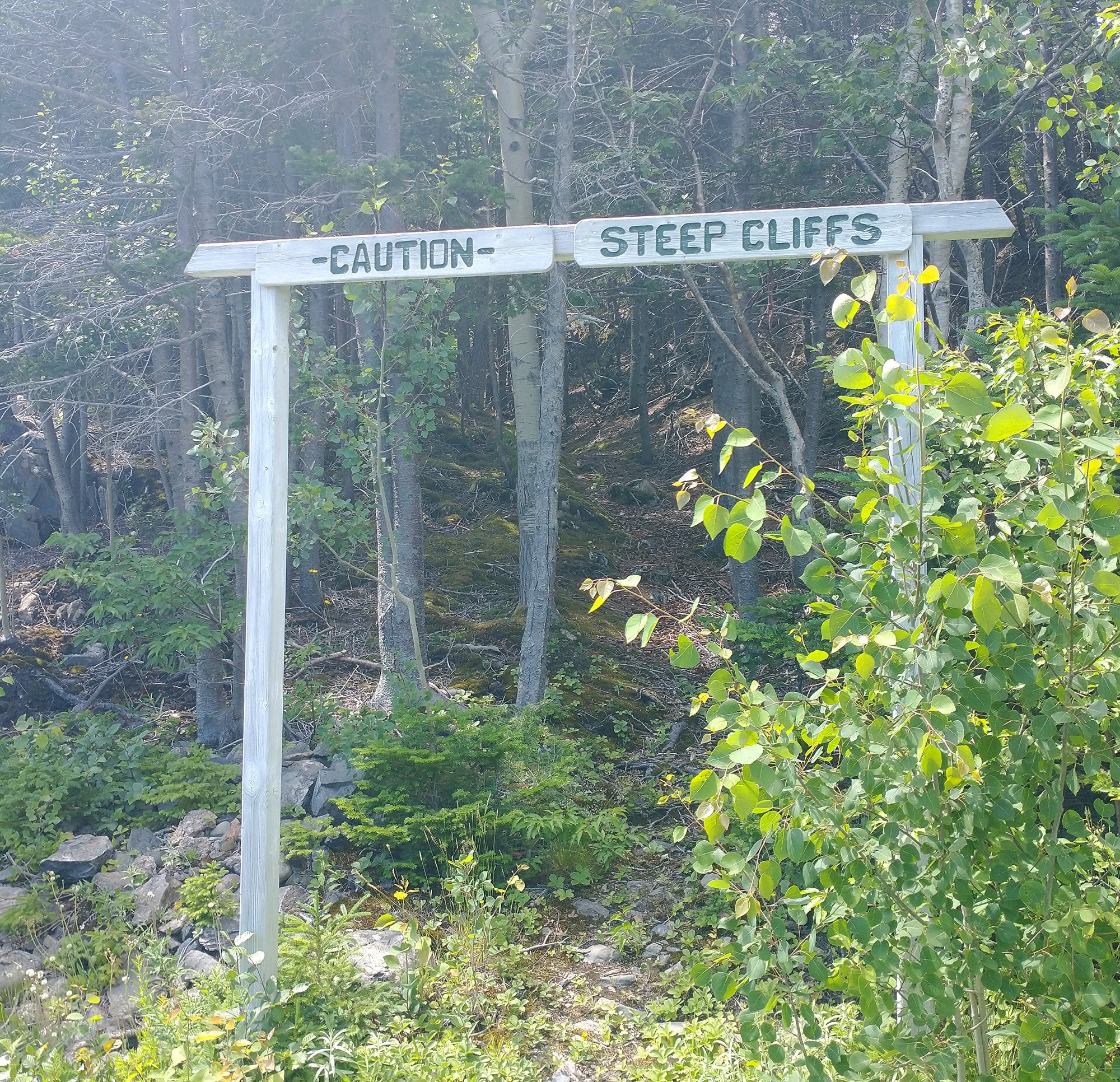
They are not kidding
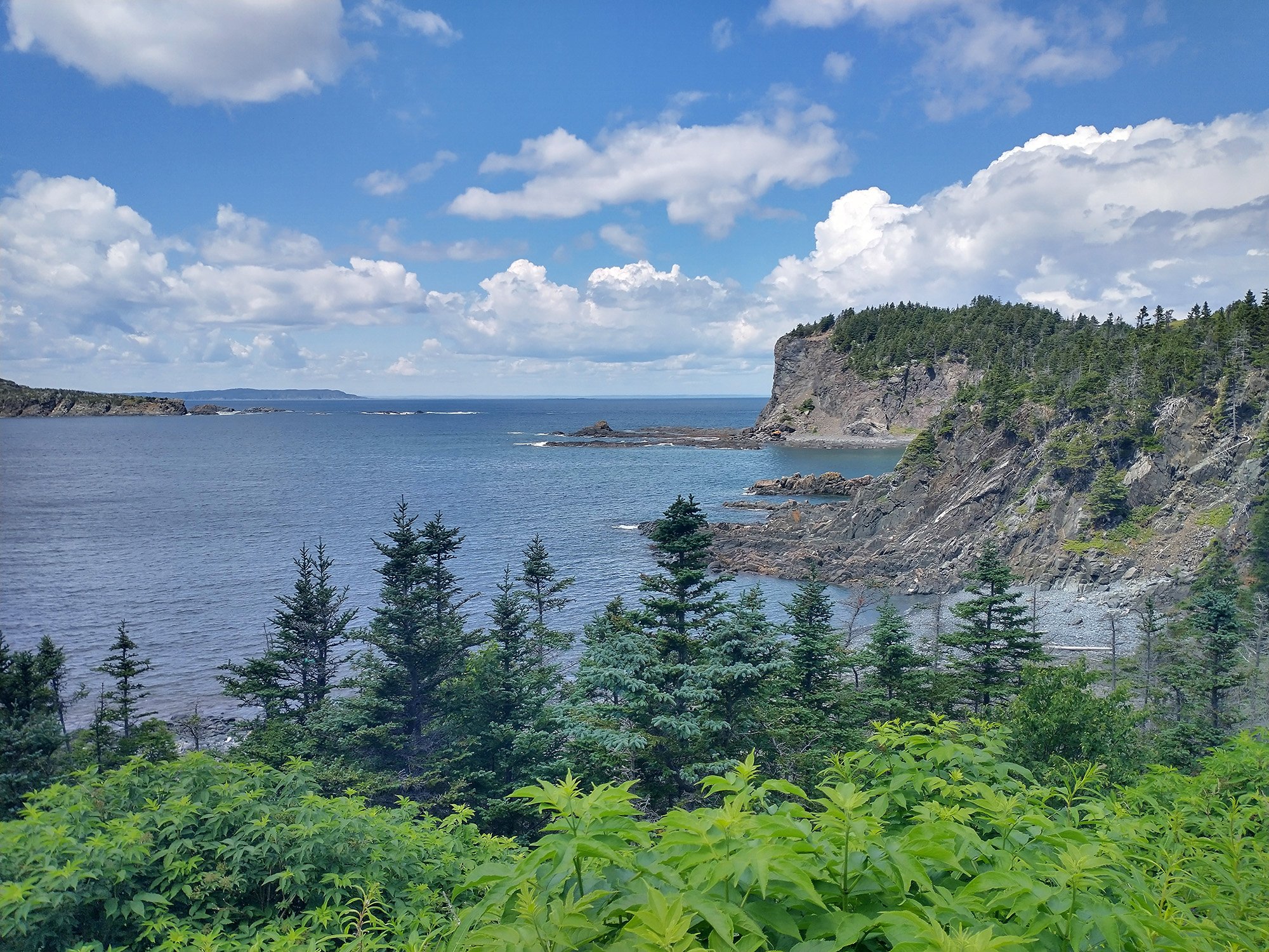
Said cliffs.
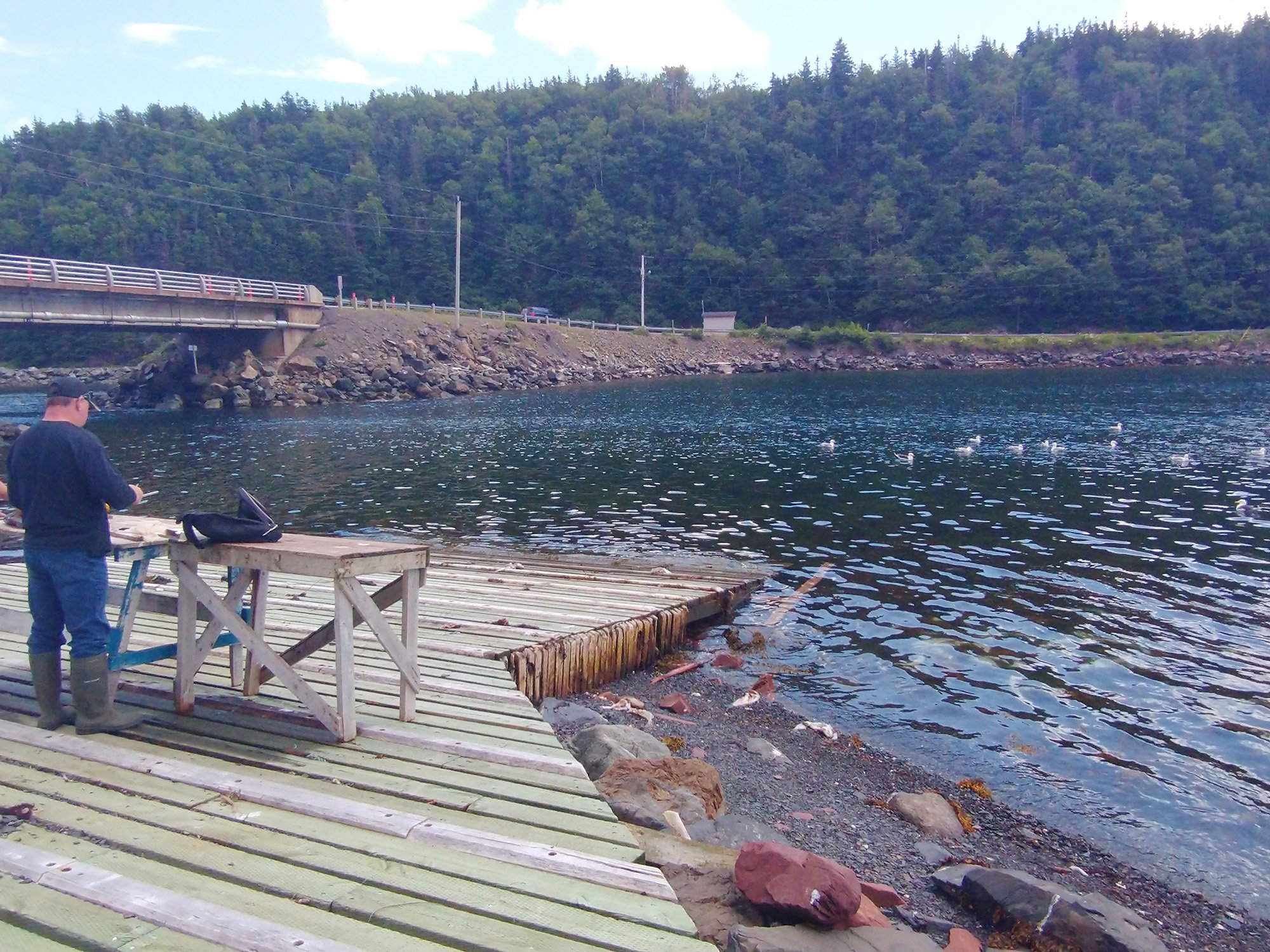
Saw some fishermen filleting cod and throwing the carcasses to a mob of seagulls.
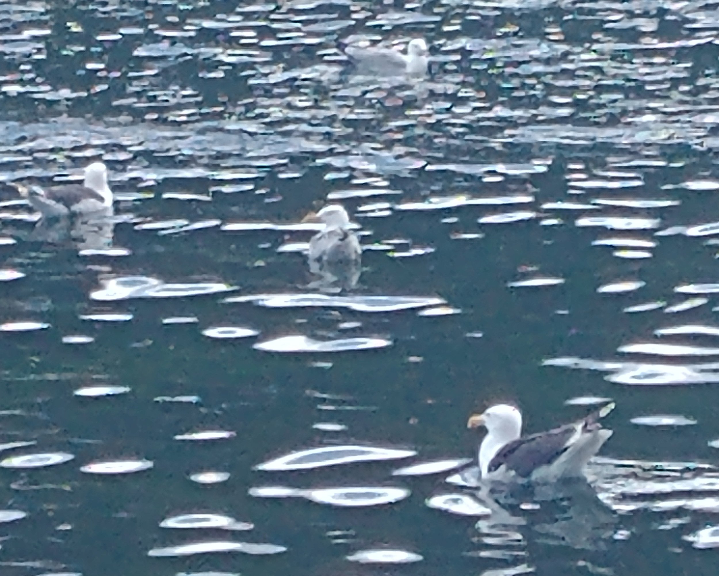
That's a Great Black-Backed gull. Only found on the east coast near saltwater. They are A LITTLE LARGER THAN NORMAL GULLS. Woah
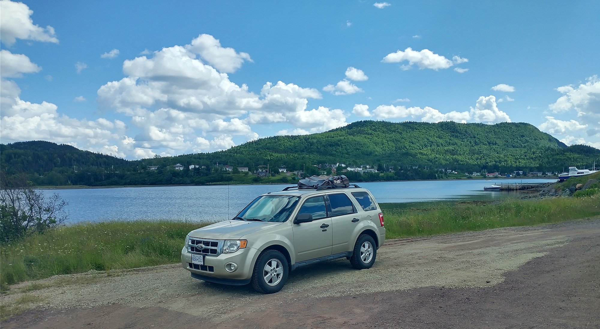
Where I left my car parked for the ride that day. Every damn town is like this, I'm telling you.
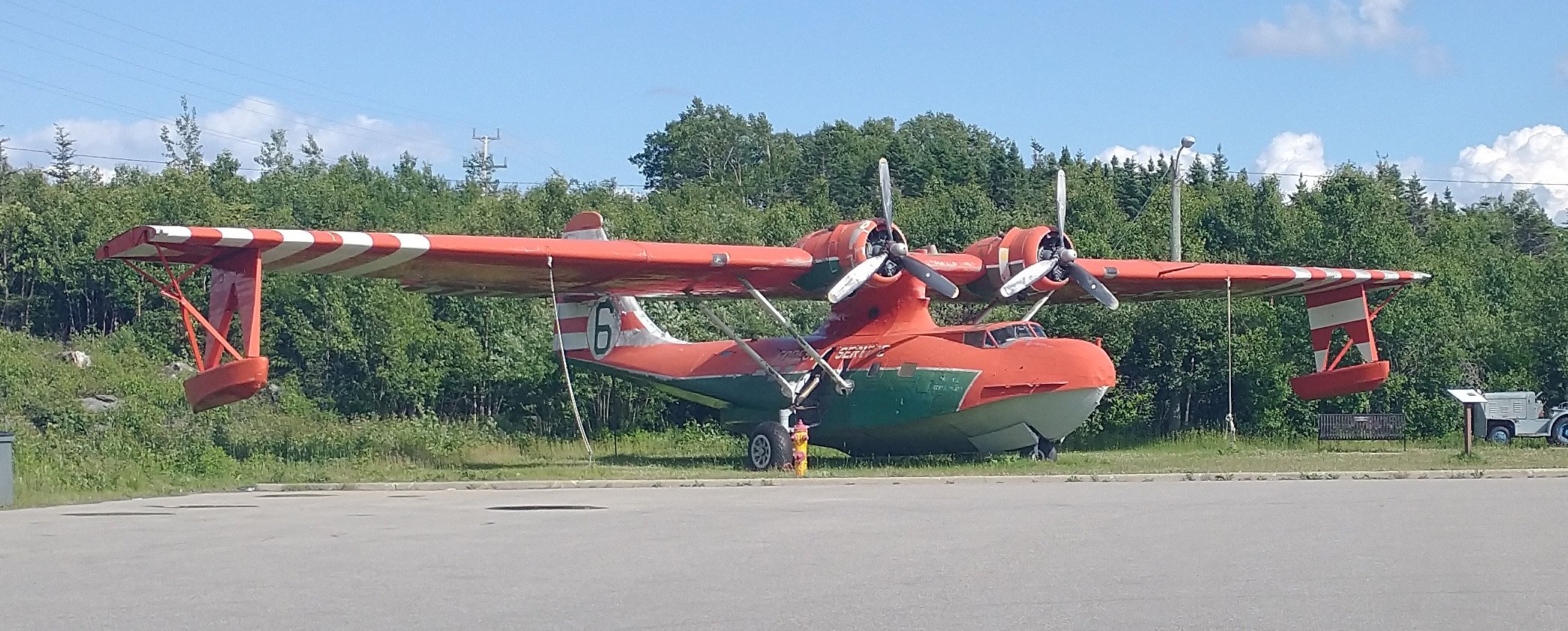
Stayed in Gander that night. They have an aviation museum ( it's tiny ) if you're into that sort of stuff!
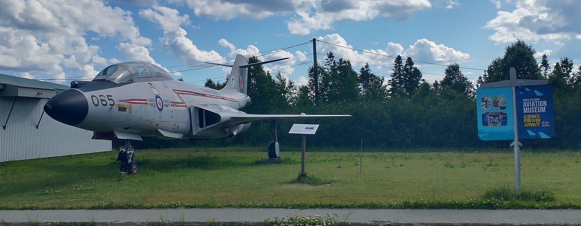
Several planes parked out front. It's right on the highway.
This seems like another “must visit”. You can see humpback whales from the edge of the cape and further south near Ellison, a puffin-themed little town near a large seabird colony. Bonavista is also where John Cabot landed in “Canada” in 1497, making him the winner of exploring North America.
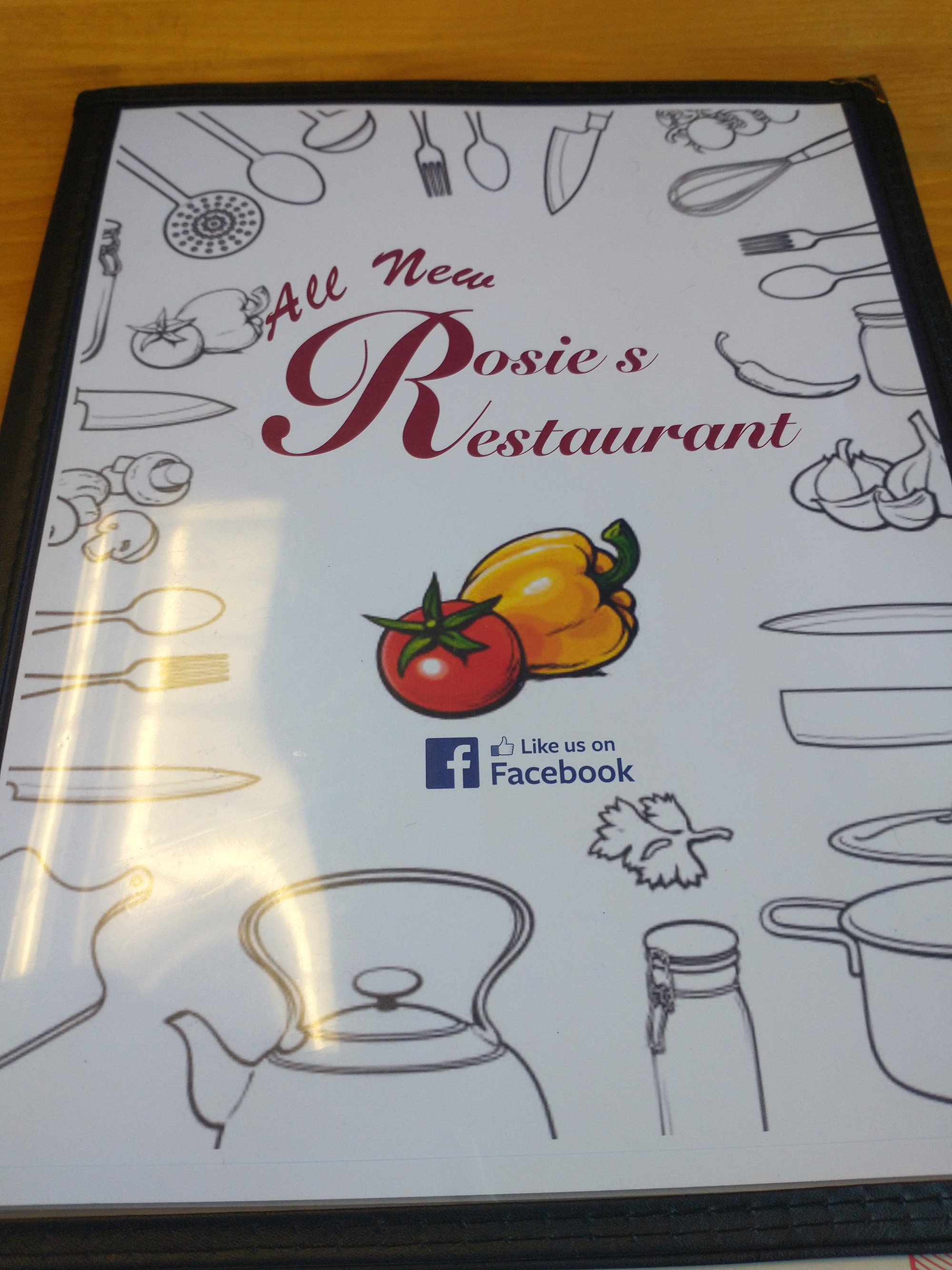
Started the morning at Rosie's, a local joint that promised me Toutons, a uniquely Newfoundland dish
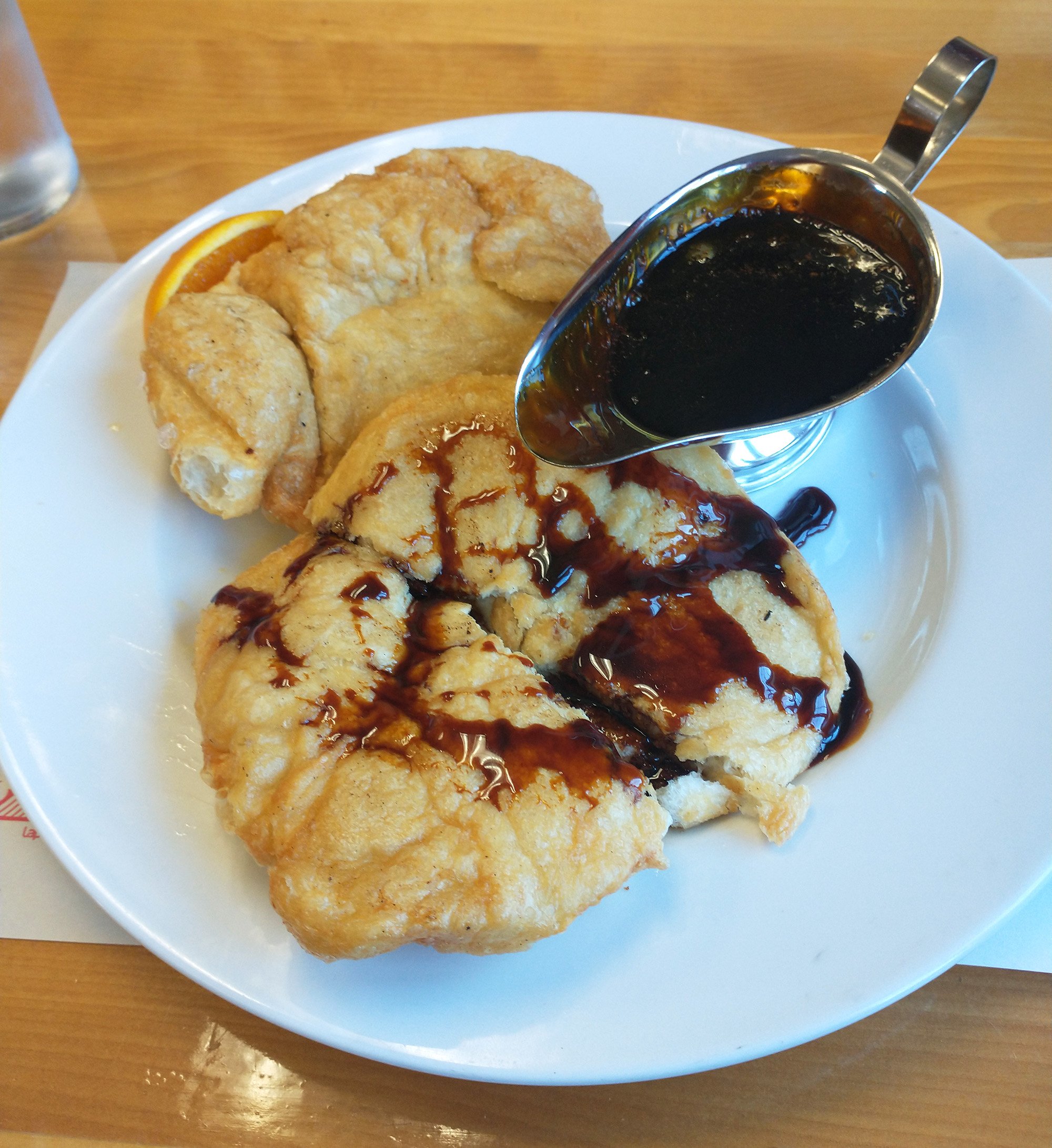
They're basically fried bread dough that you drown in molasses. Served for breakfast. 0/10 healthy.
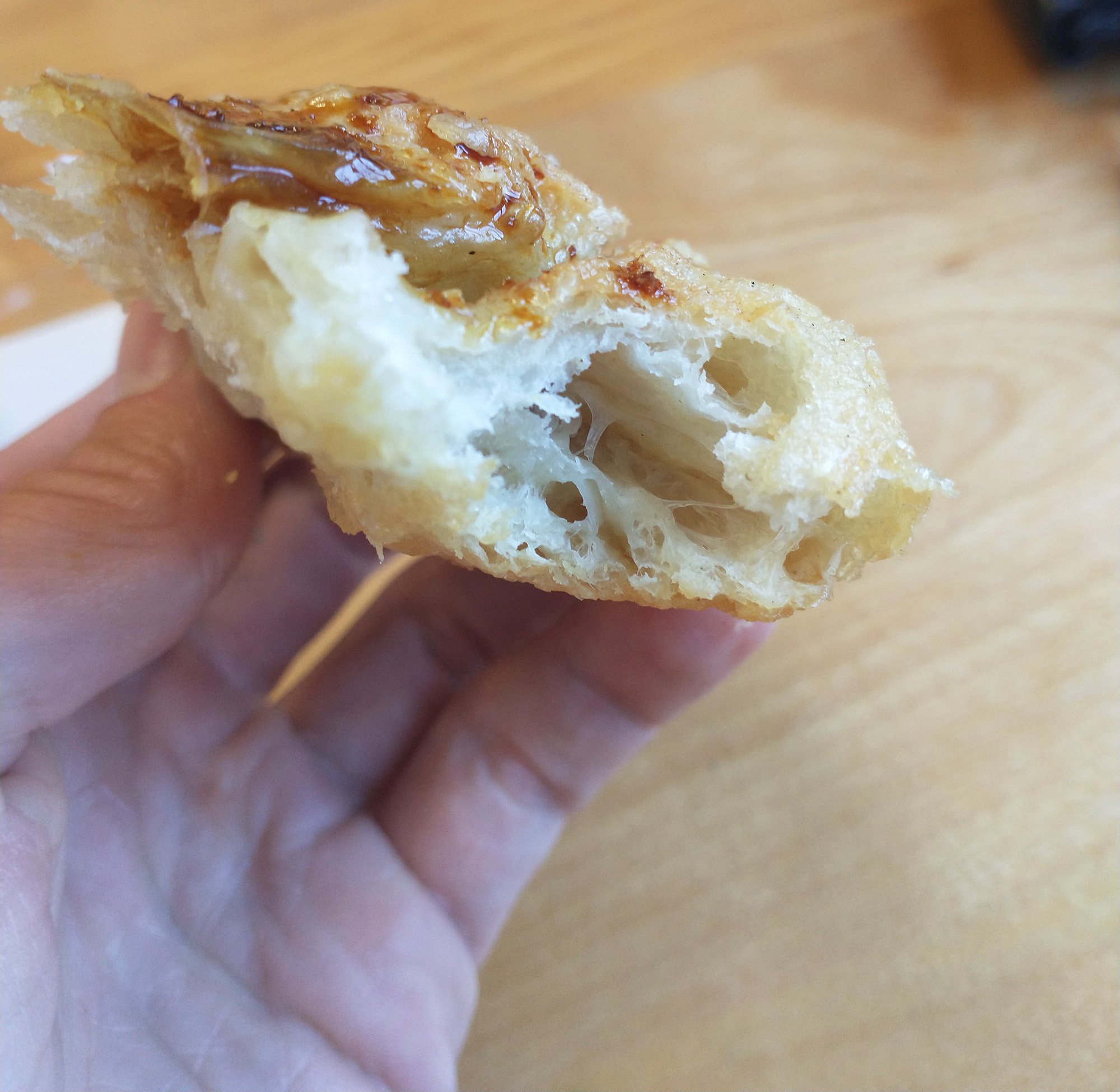
Reminds me a lot of Beaver Tails, but without the sugar. Just... make Beaver Tails...?
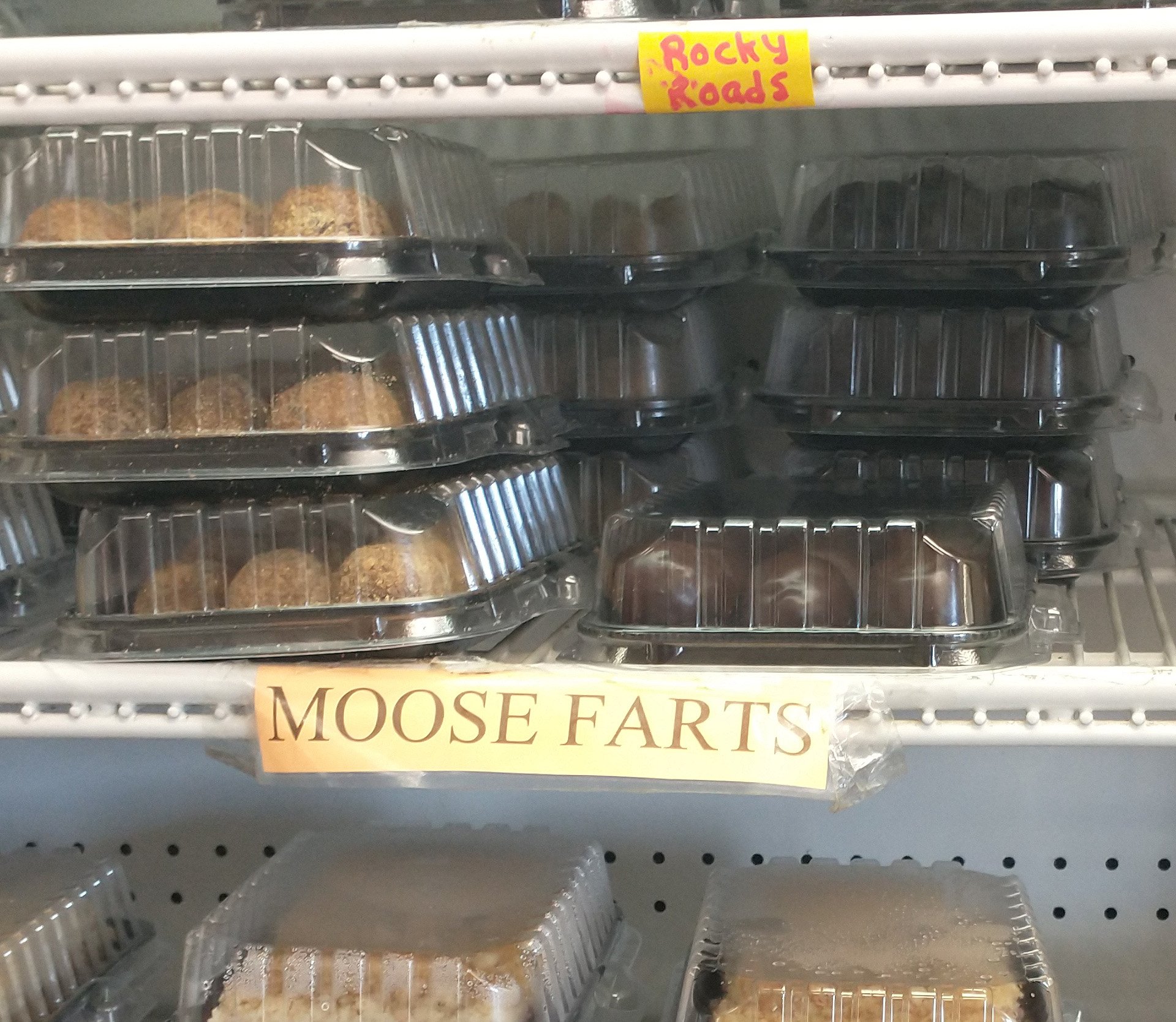
They also sell many baked goods. Had to grab a taste of Rosie's farts, of course.
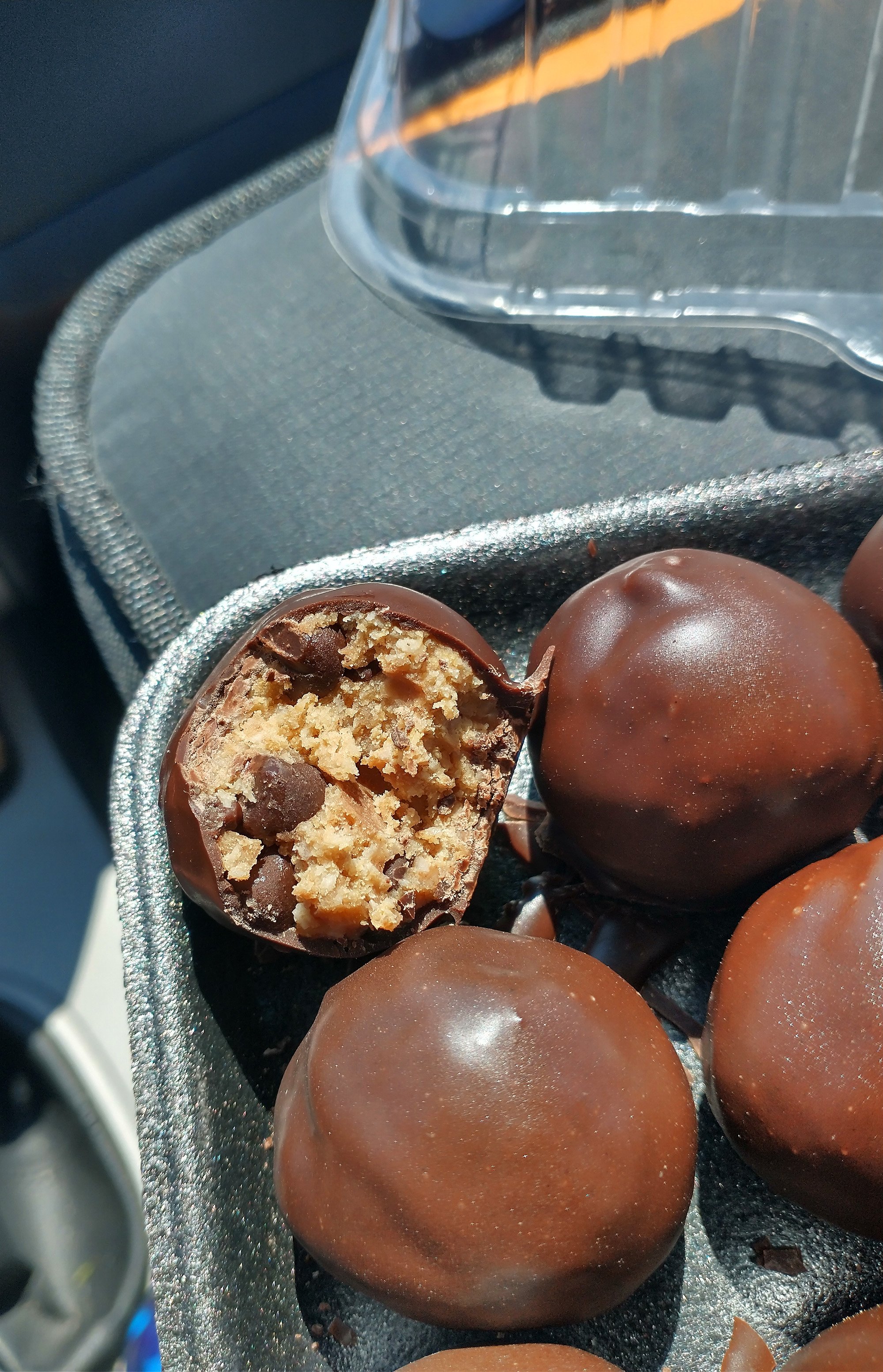
They're balls of raw chocolate chip cookie dough mixed with coconut flakes and dipped in dark chocolate. Overly sweet... But good ride fuel!
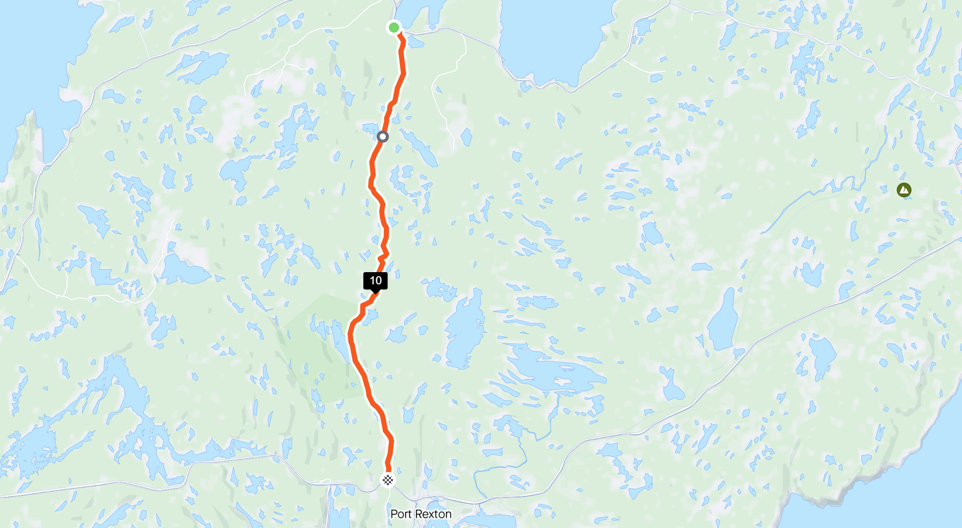
I cut this ride short from my original plan and it required going through what Strava showed as this "paved" road. Solid red = Paved in their mapping tool.
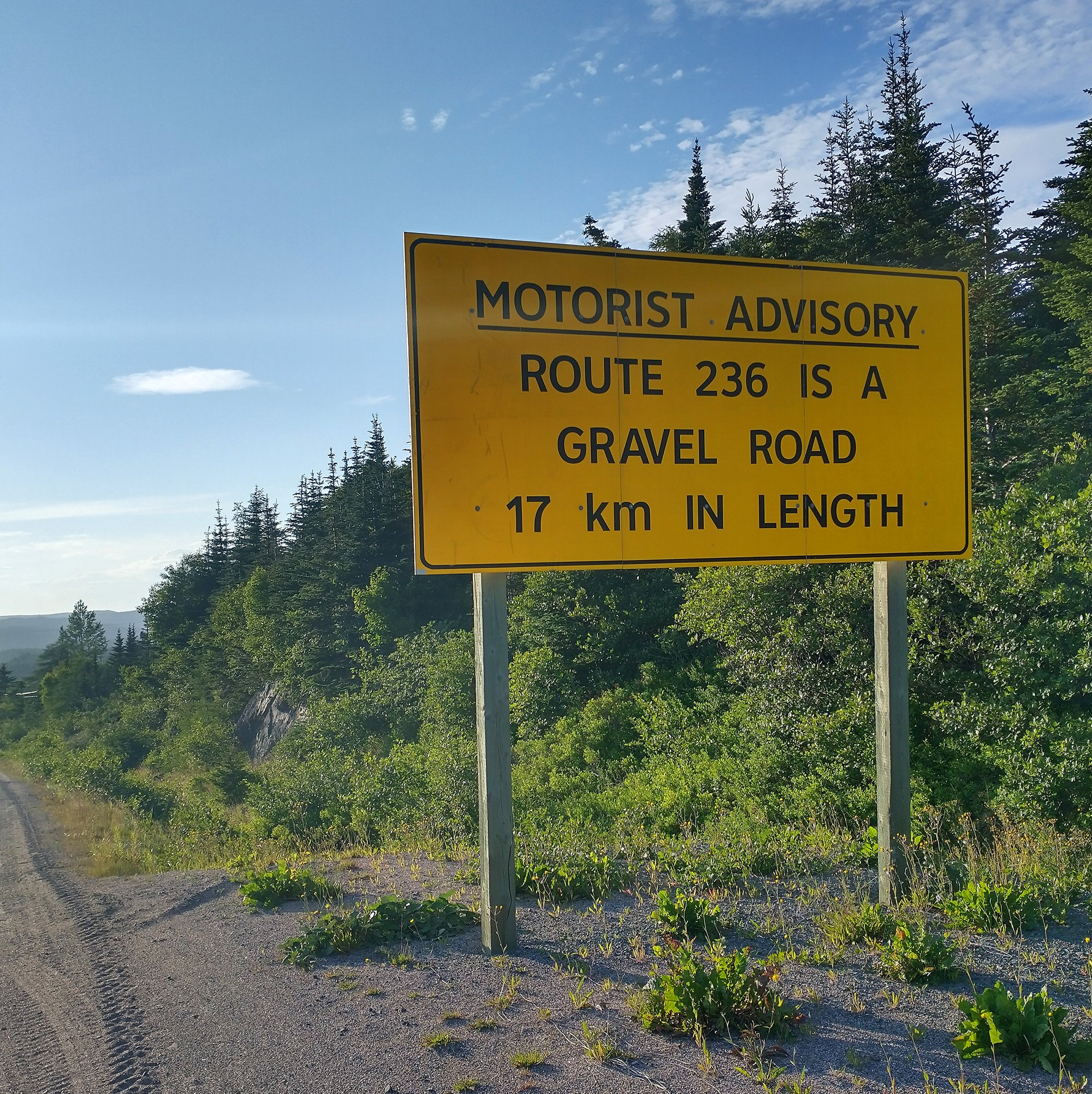
Yes so paved the locals even put a sign saying this road is garbage even for cars... thanks...
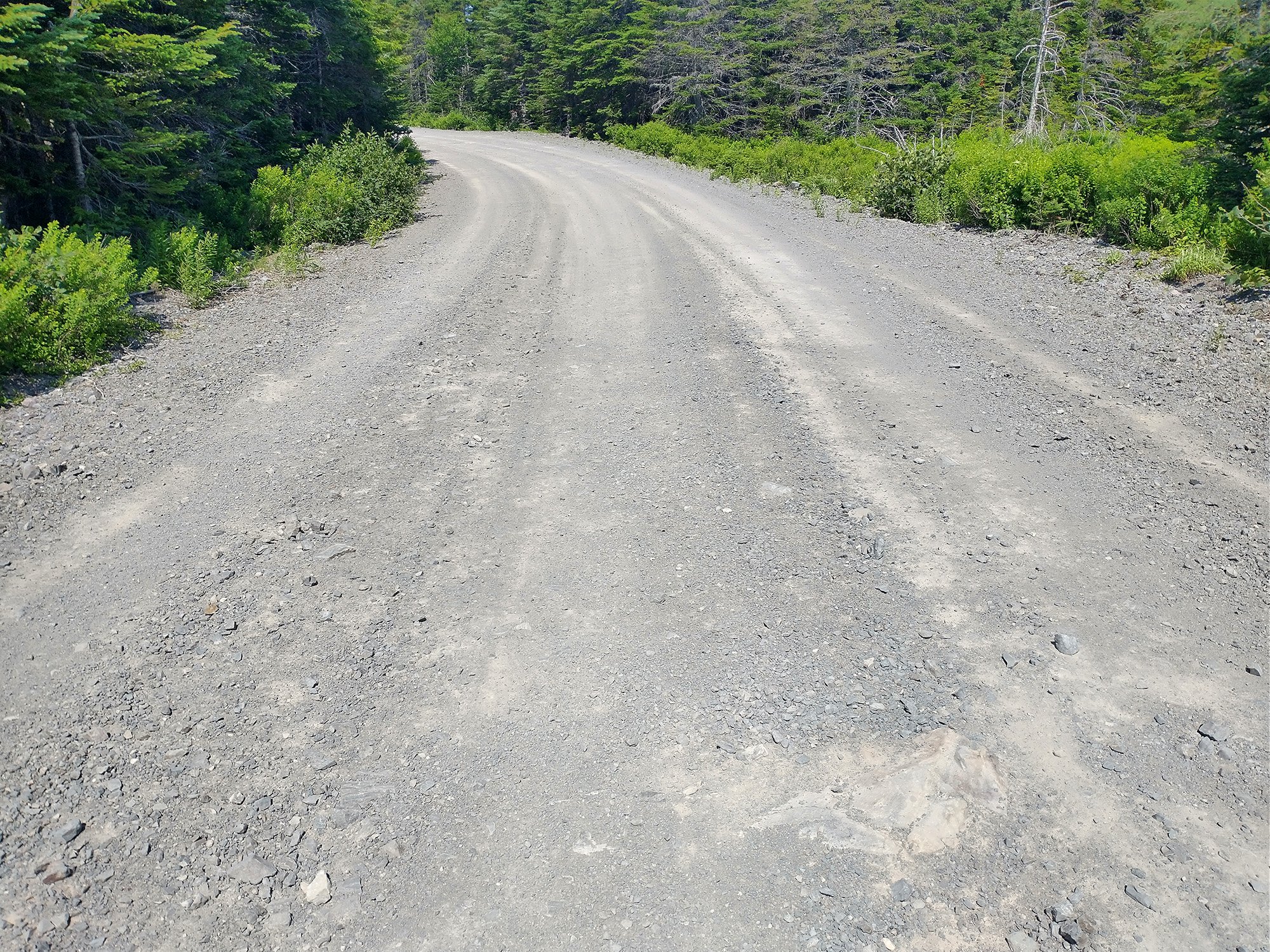
That road was disgusting, more hole than road in many places. Earned myself another flat, even being careful.
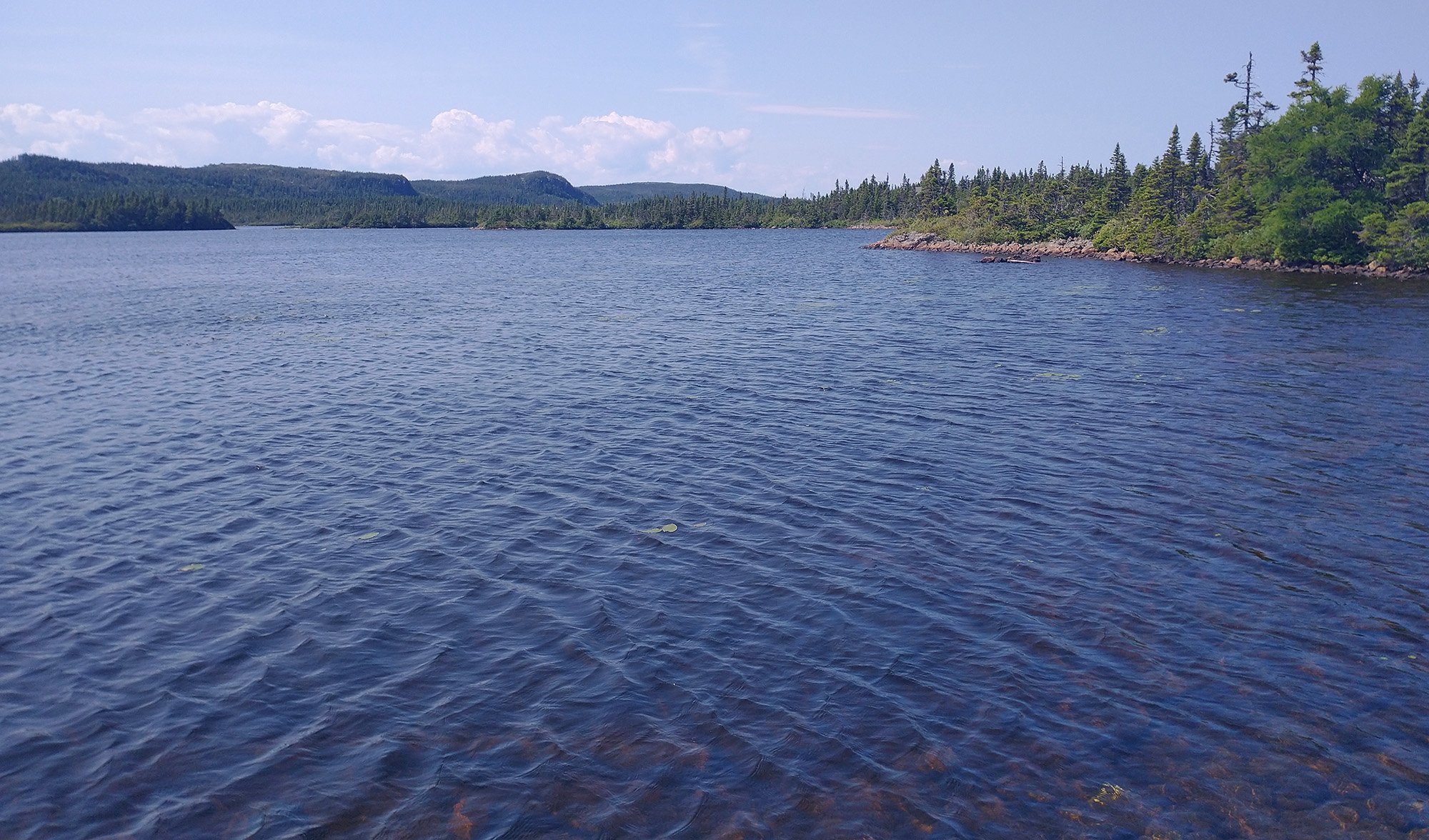
Passing pic of what interior Newfoundland mostly looks like. Basically Quebec. Lakes of all sizes flanked with forests, with nothing but long rolling climbs in the 100-200m range. No flat anywhere.
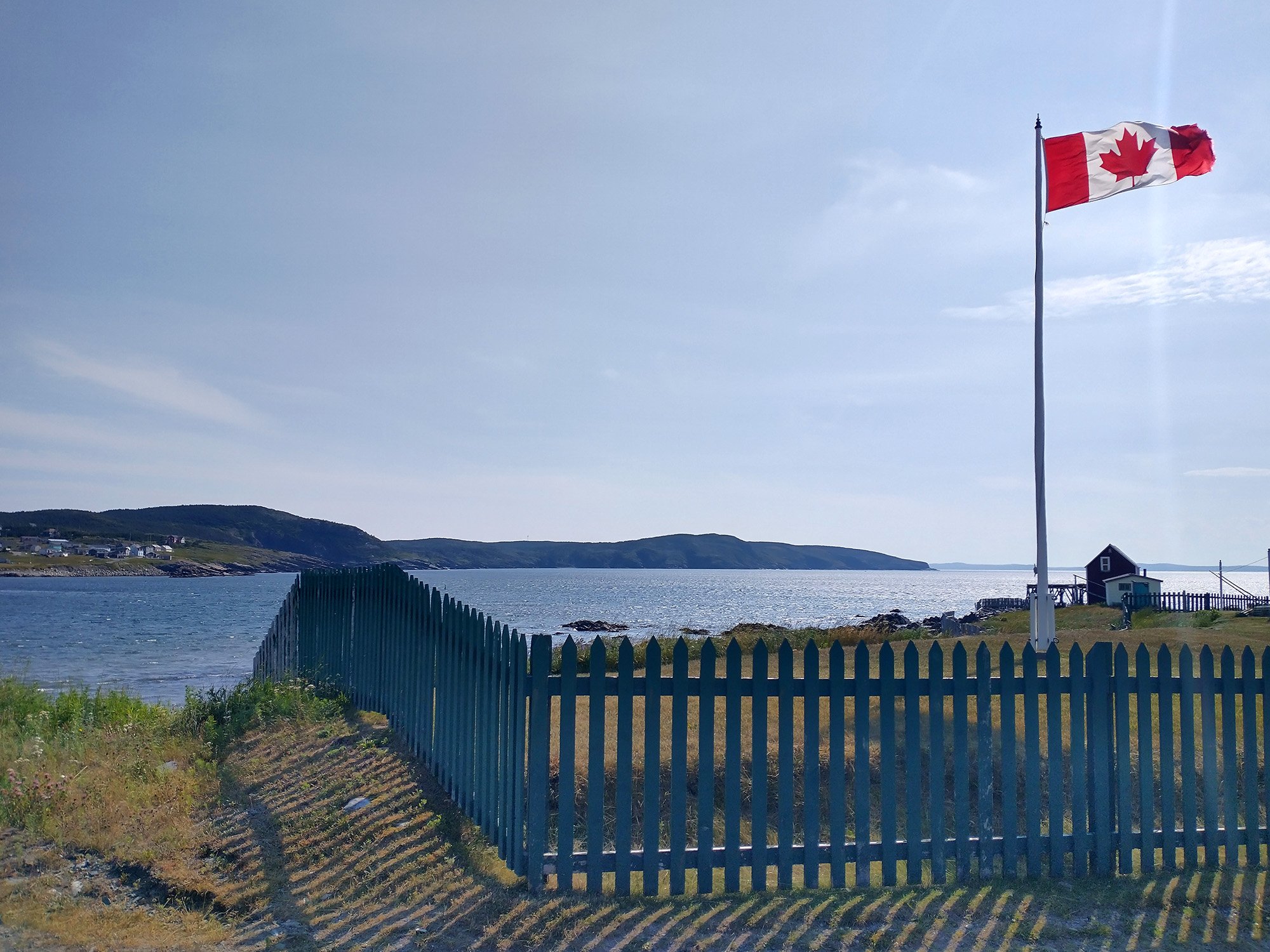
Making it to the town. Had a tailwind the first 55km... was not looking forward to the way back let me tell you.
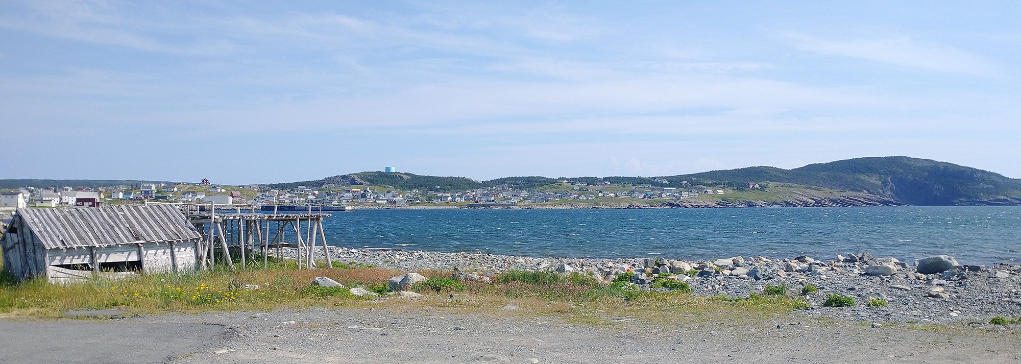
Even the tourist areas here are really just quiet little towns with these old timey shacks.
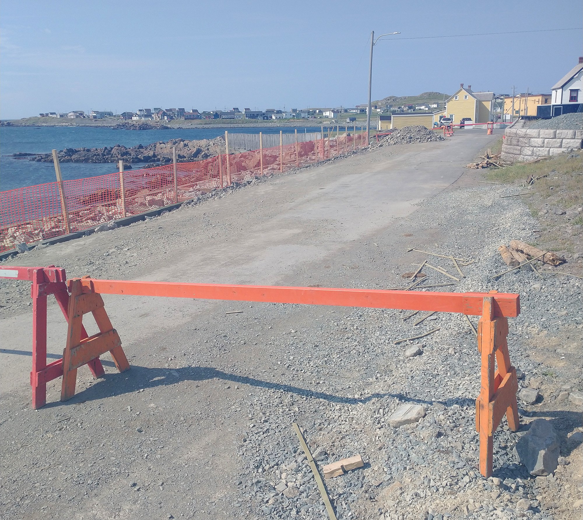
See sometimes this is what "road closed" means... Not "bridge is destroyed" like on my Cabot Trail ride.
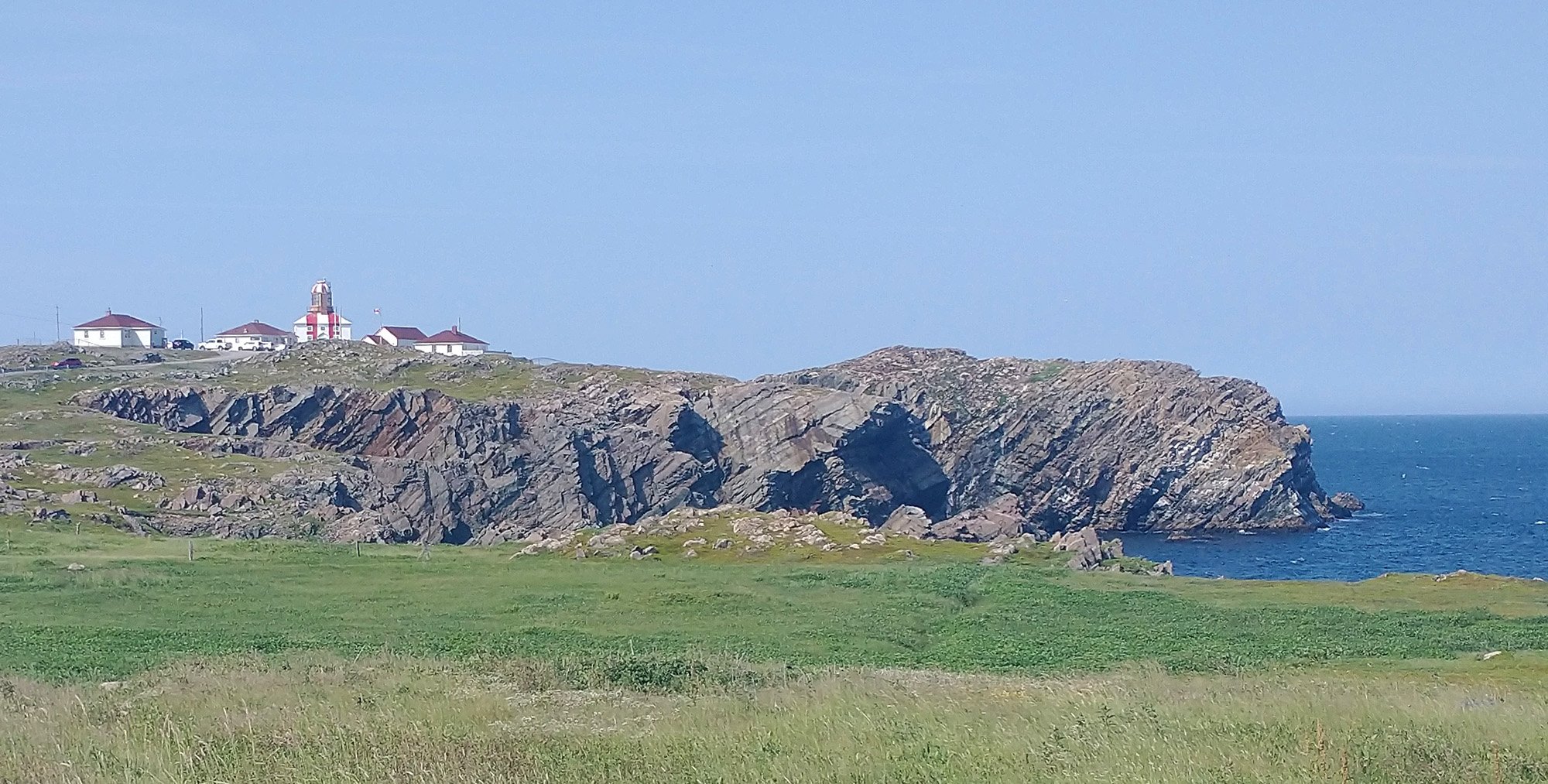
The lighthouse at the tip of Bonavista. Just crazy views all over this peninsula.
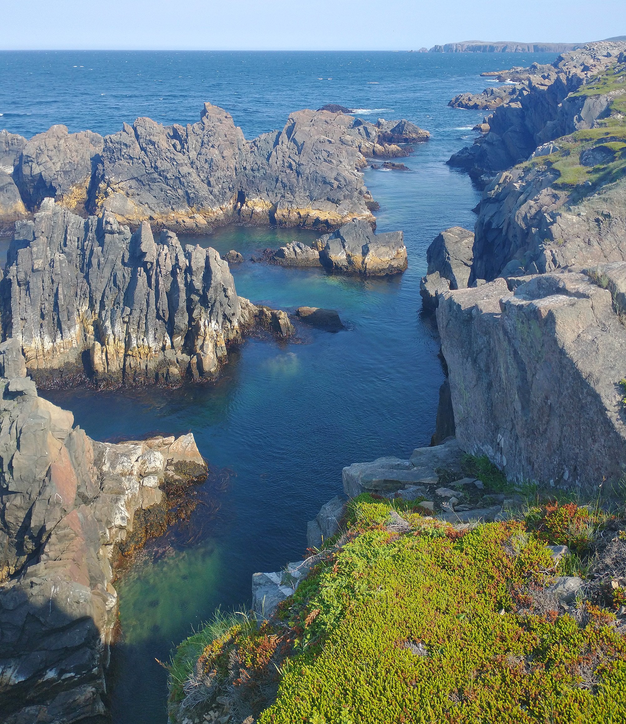
Many kilometers of these jagged cliffs eaten over time by the crashing waves.
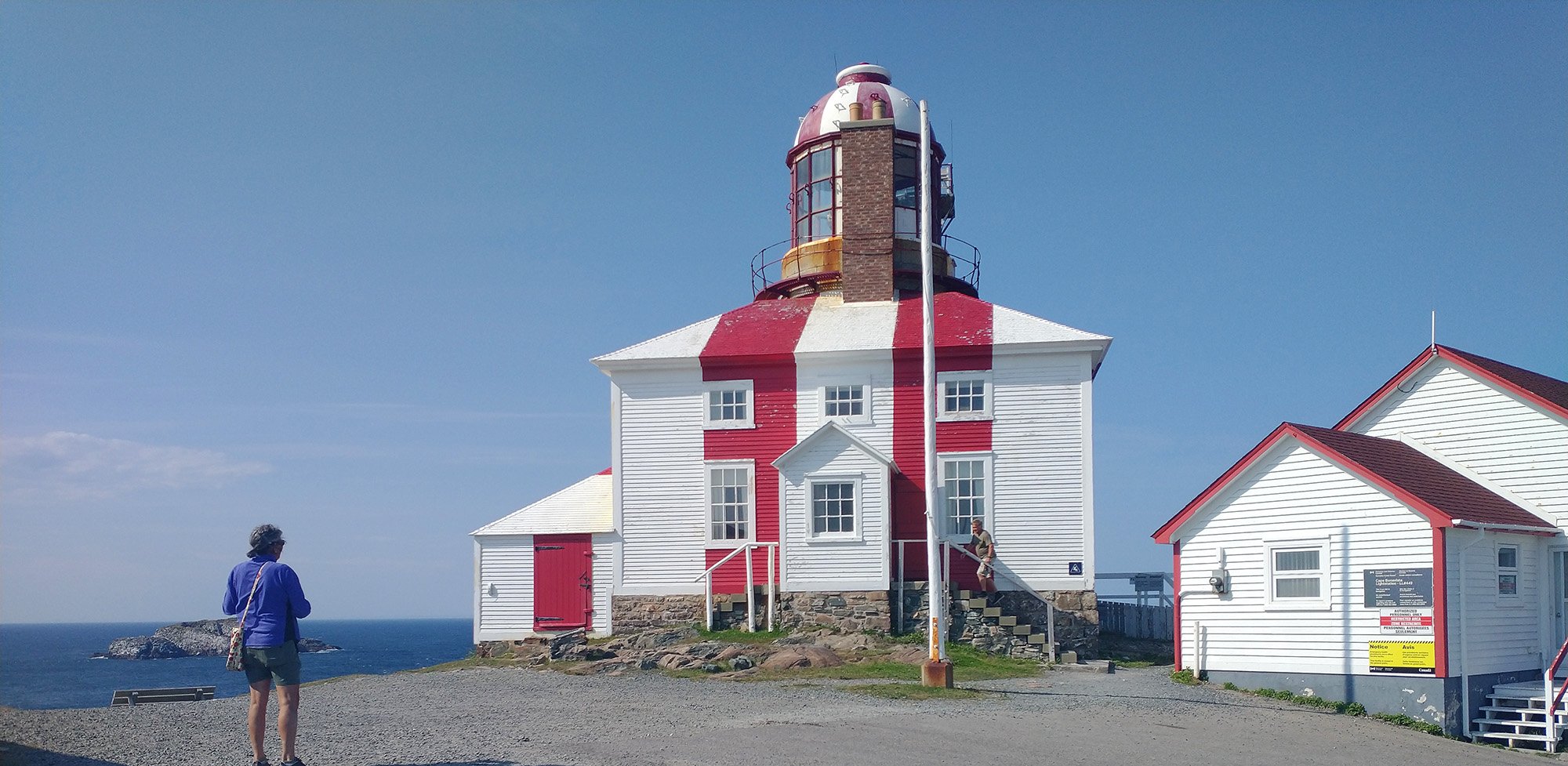
The lighthouse itself.
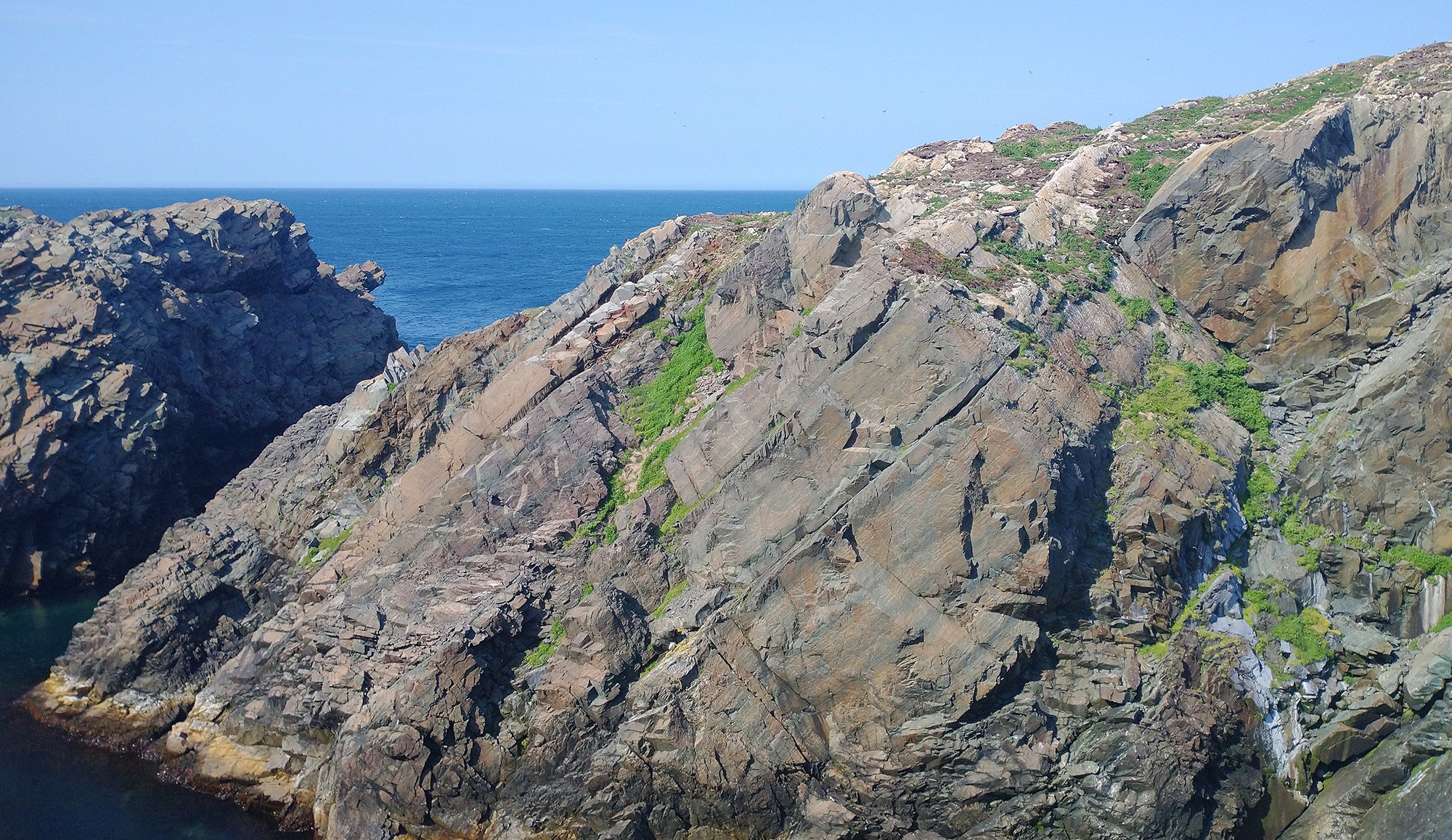
Behind the lighthouse there's this huge rock that hosts a puffin colony!
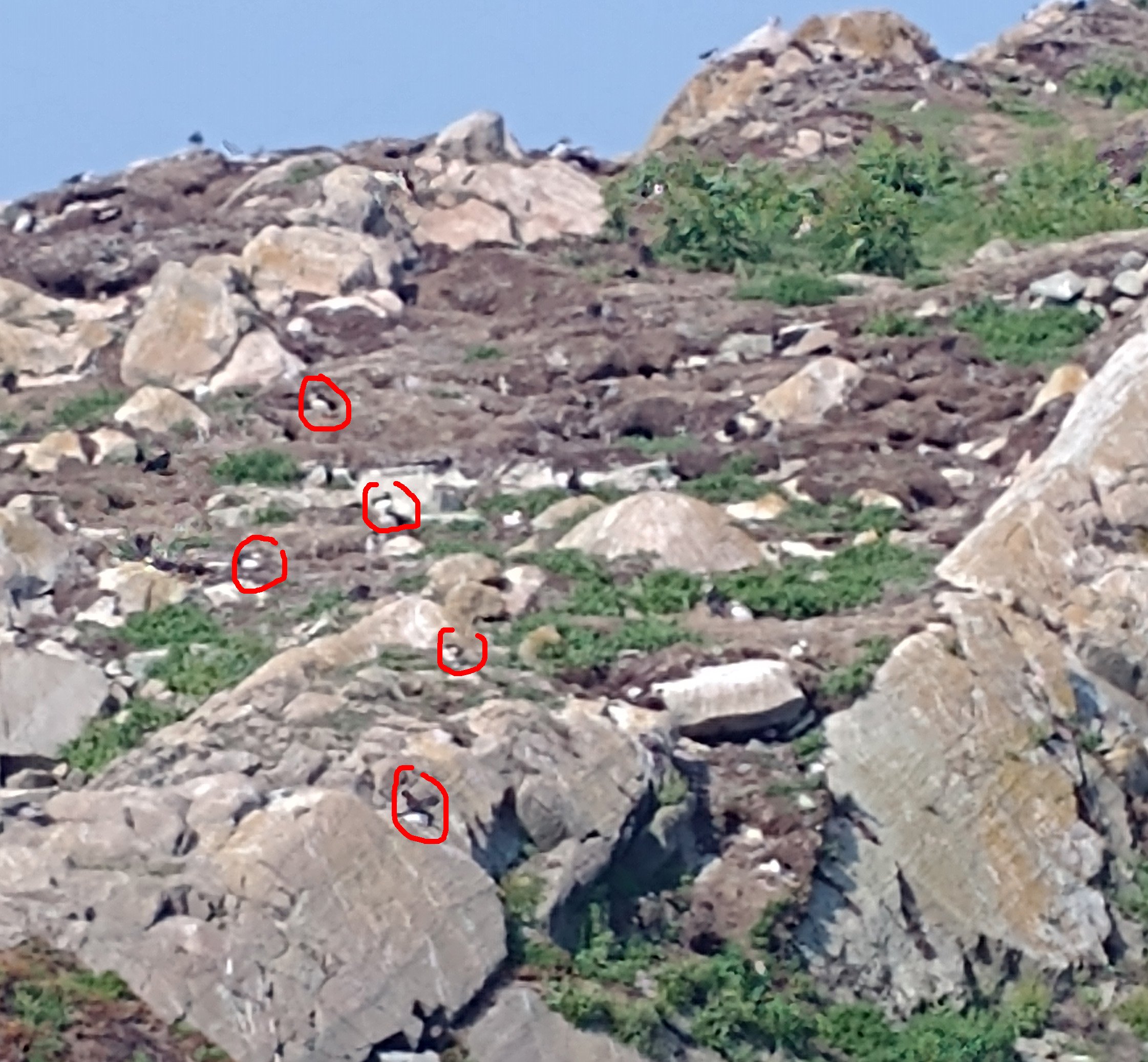
Here you can clearly see them as I use the zoom tool on my camera...
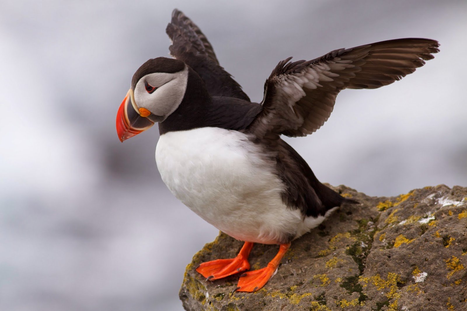
What a puffin looks like
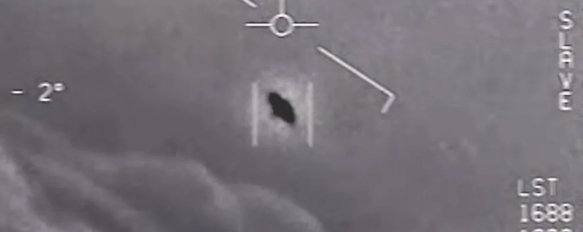
Now here's the lizardman who shot JFK, also taken with my camera's zoom.
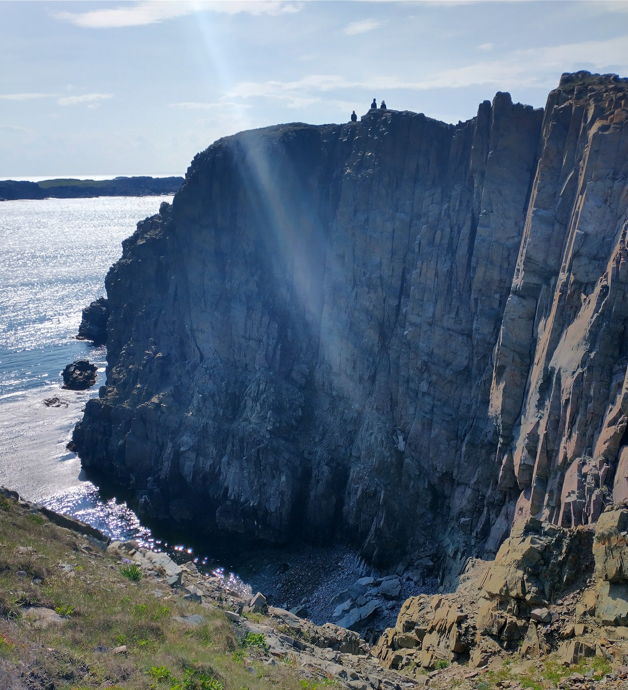
You can just walk as close to the edge of these cliffs as you feel comfortable. Really amazing.
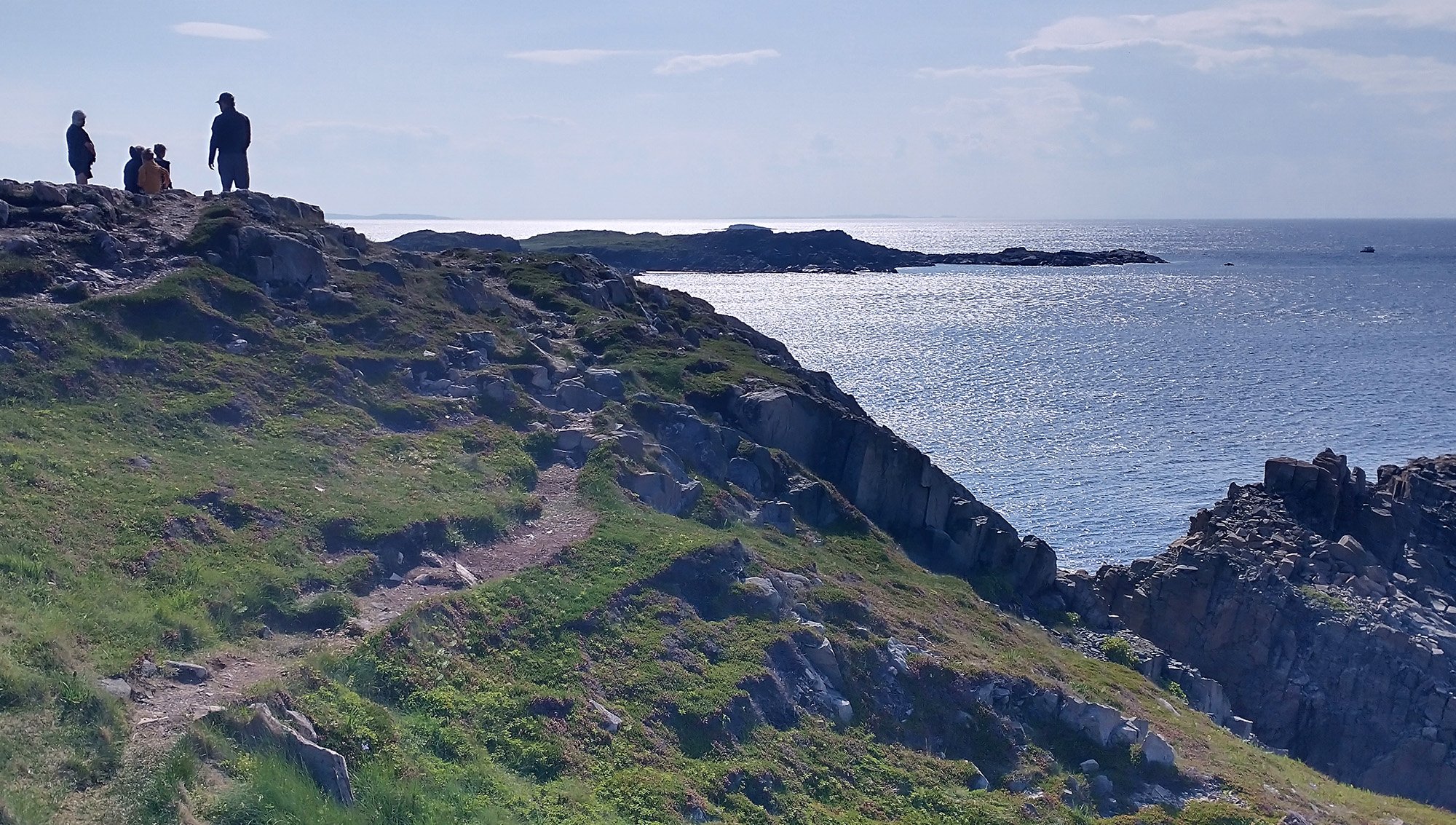
Spotted these people pointing and looking out to sea.. hmmm
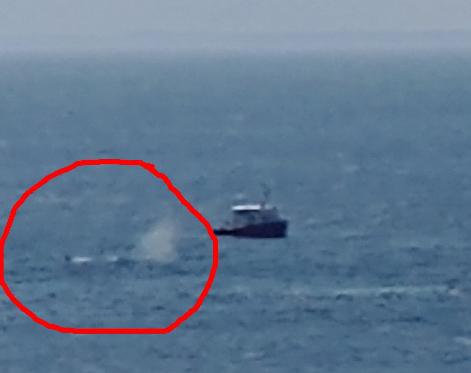
They were pointing at this boat watching two humpback whales frolicking in the ocean.
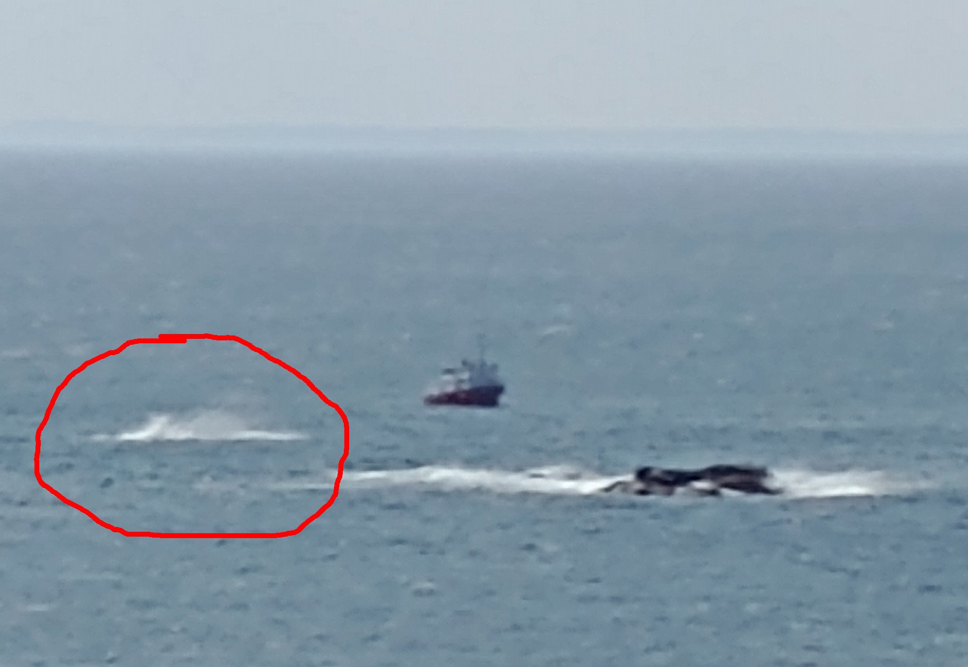
That boat is super close to the whales, must be an awesome excursion if you get lucky.
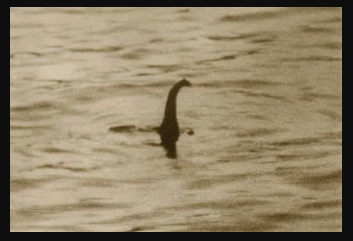
Now again focus here, I believe this is a plesiosaur, again taken with the digital zoom of my camera. I don't know what more evidence you need.
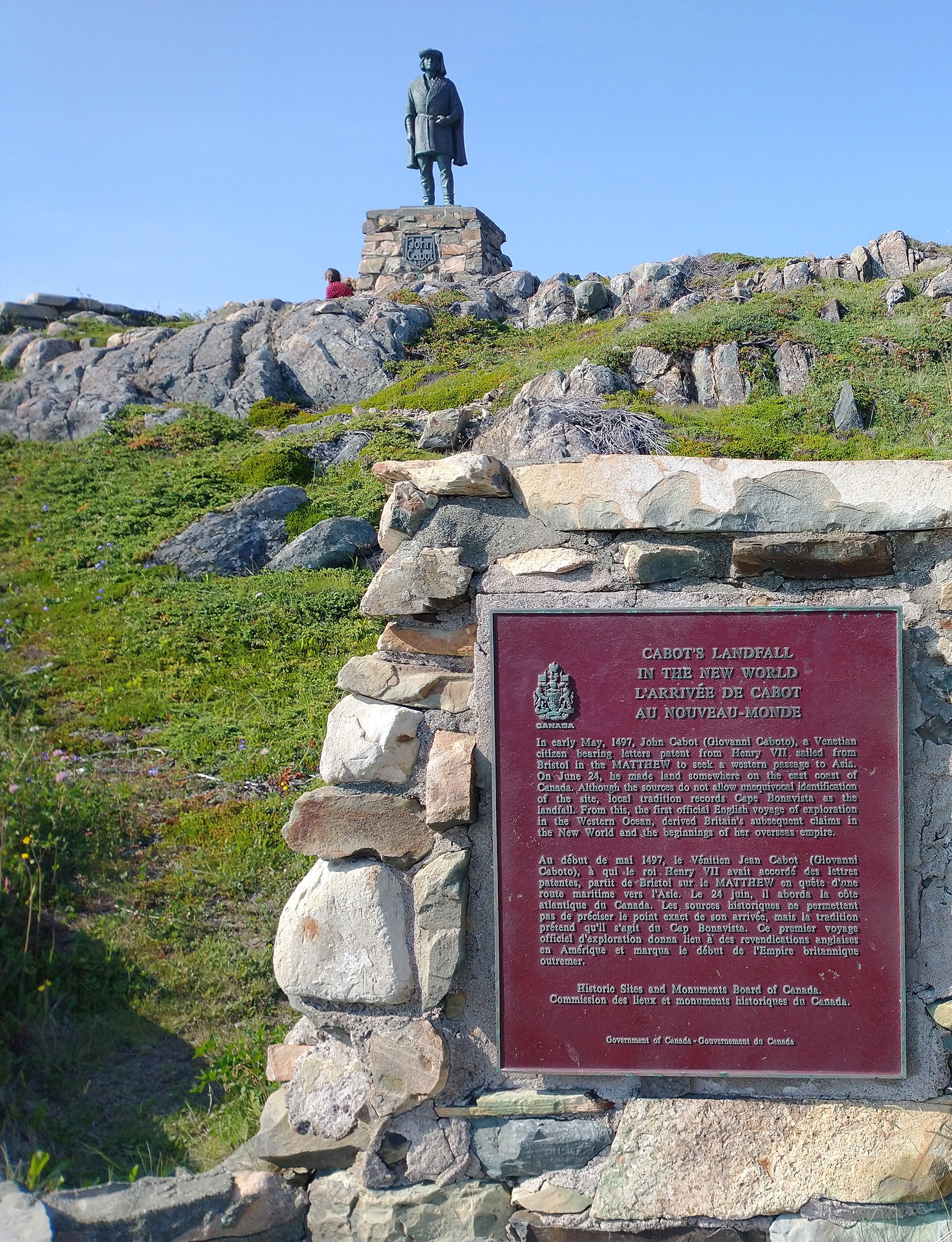
They also put up a statue of John Cabot, with a little plaque. I'm sure CBC news is angry at this statue and wants to take it down.
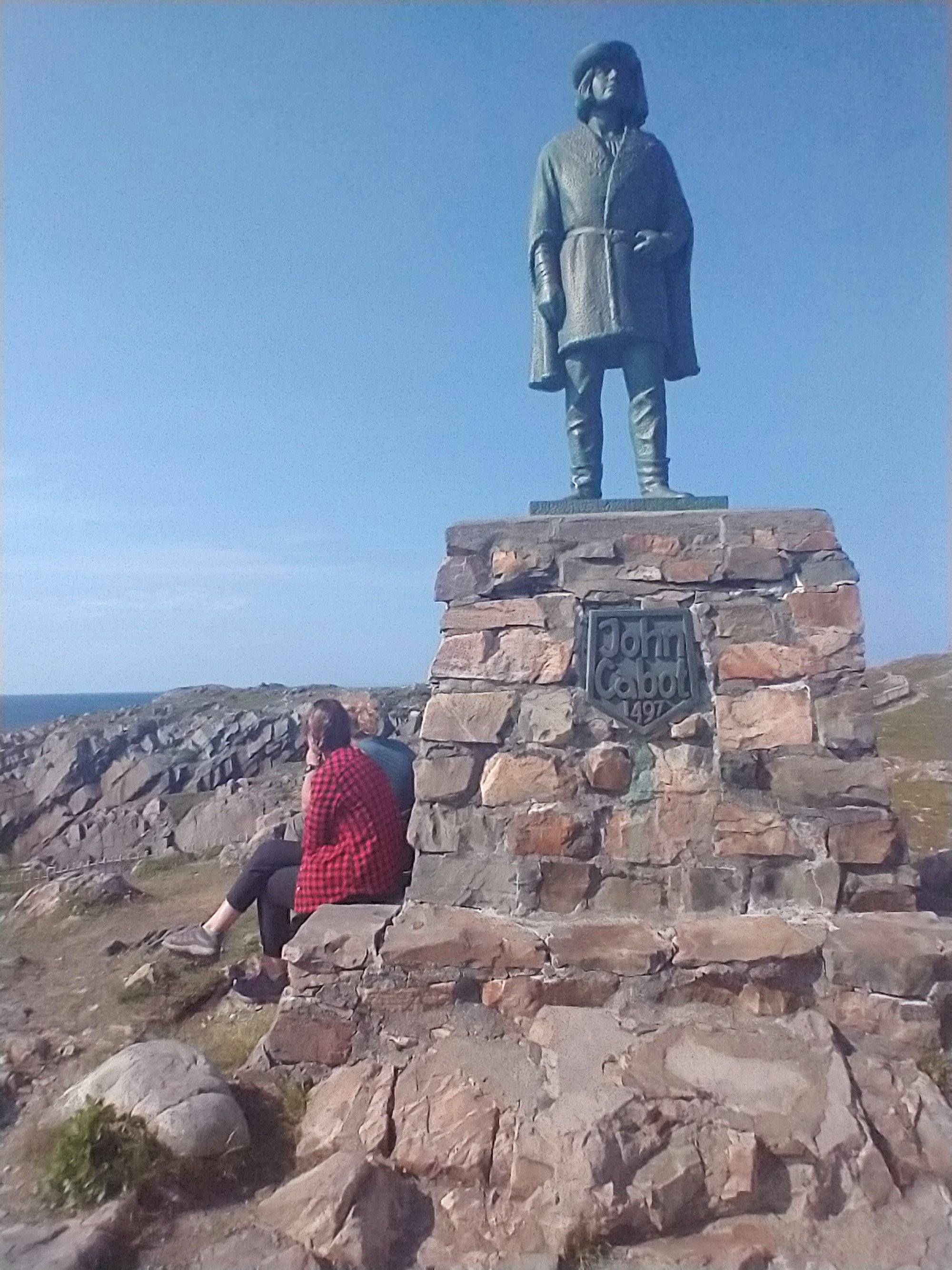
Hey wait a minute.... I know that guy...
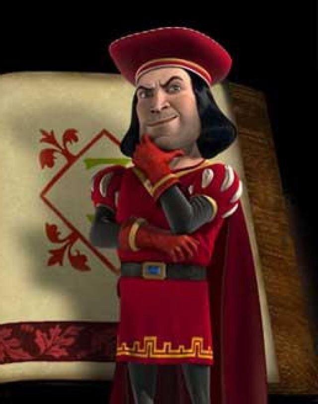
That's him! That's the guy!
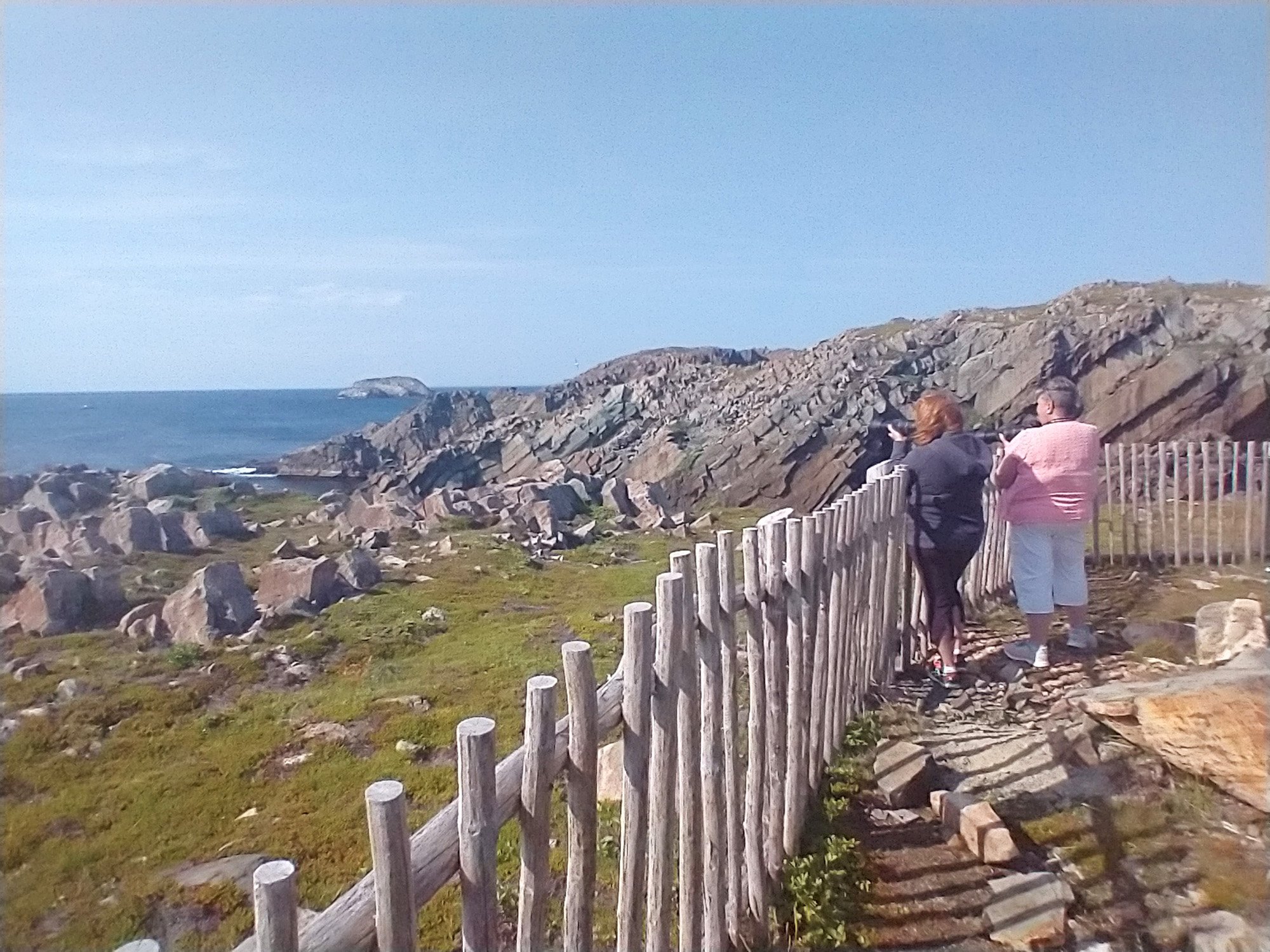
Two tourists taking pictures of the whales with a way better camera than mine.... Not carrying that on my bike though.
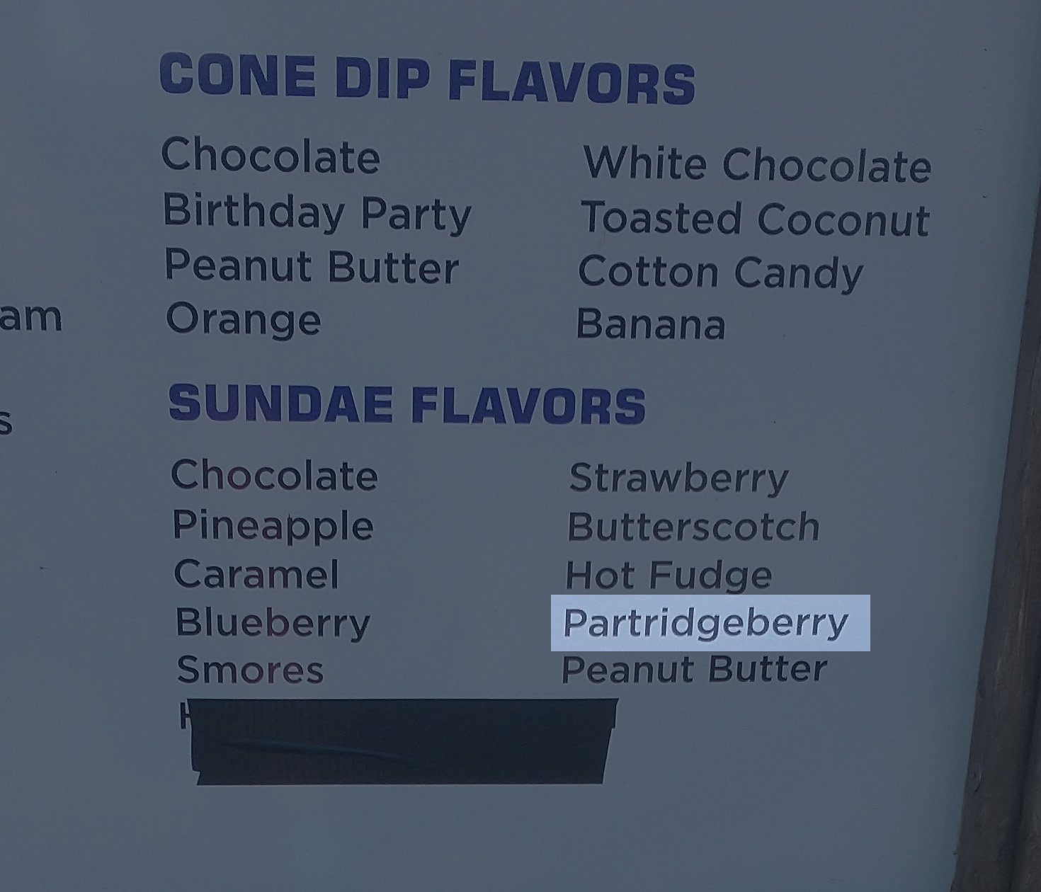
Nearby there's a little dairy bar that had partridgeberry Sundays. But it was a lie, they were all out.
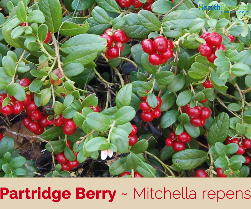
Partridge berries are these little things you always thought were poisonous. It's a local ingredient for all kinds of desserts.
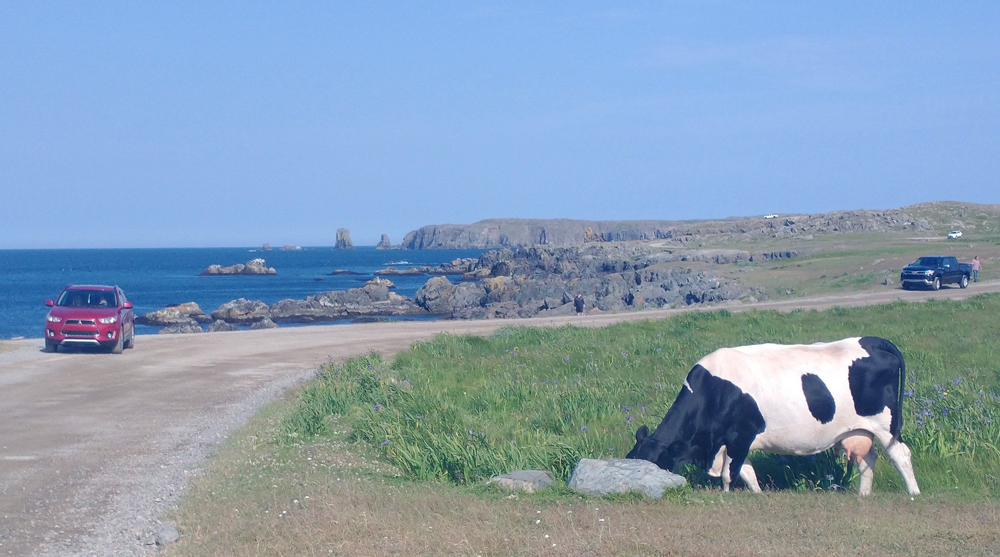
A bit south of the Cape you will find The Dungeons national park, which also for some reason has cows grazing in it.
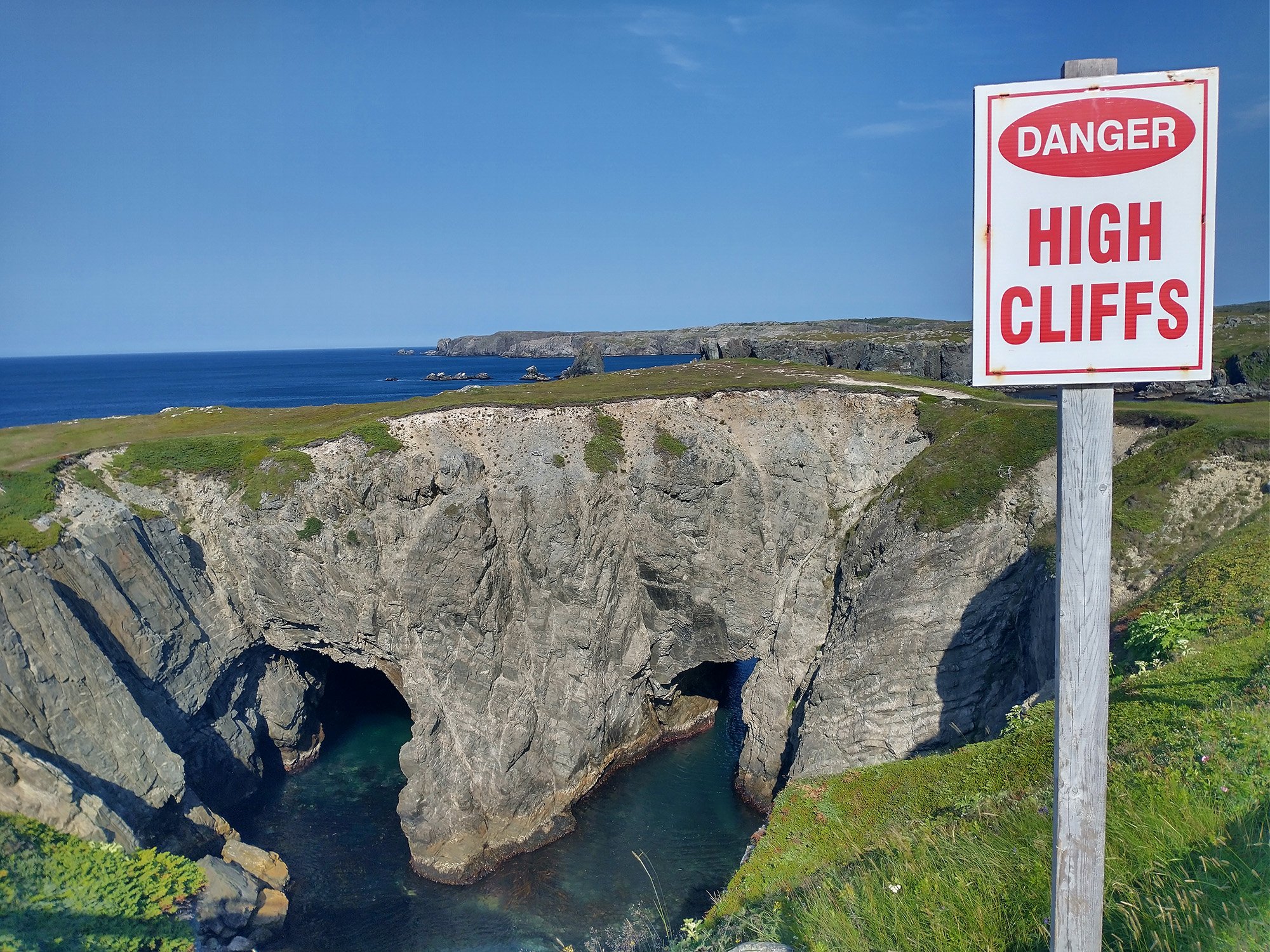
That's the Dungeon rock formation. Sea caves form by the waves crashing on the rocks over thousands of years.
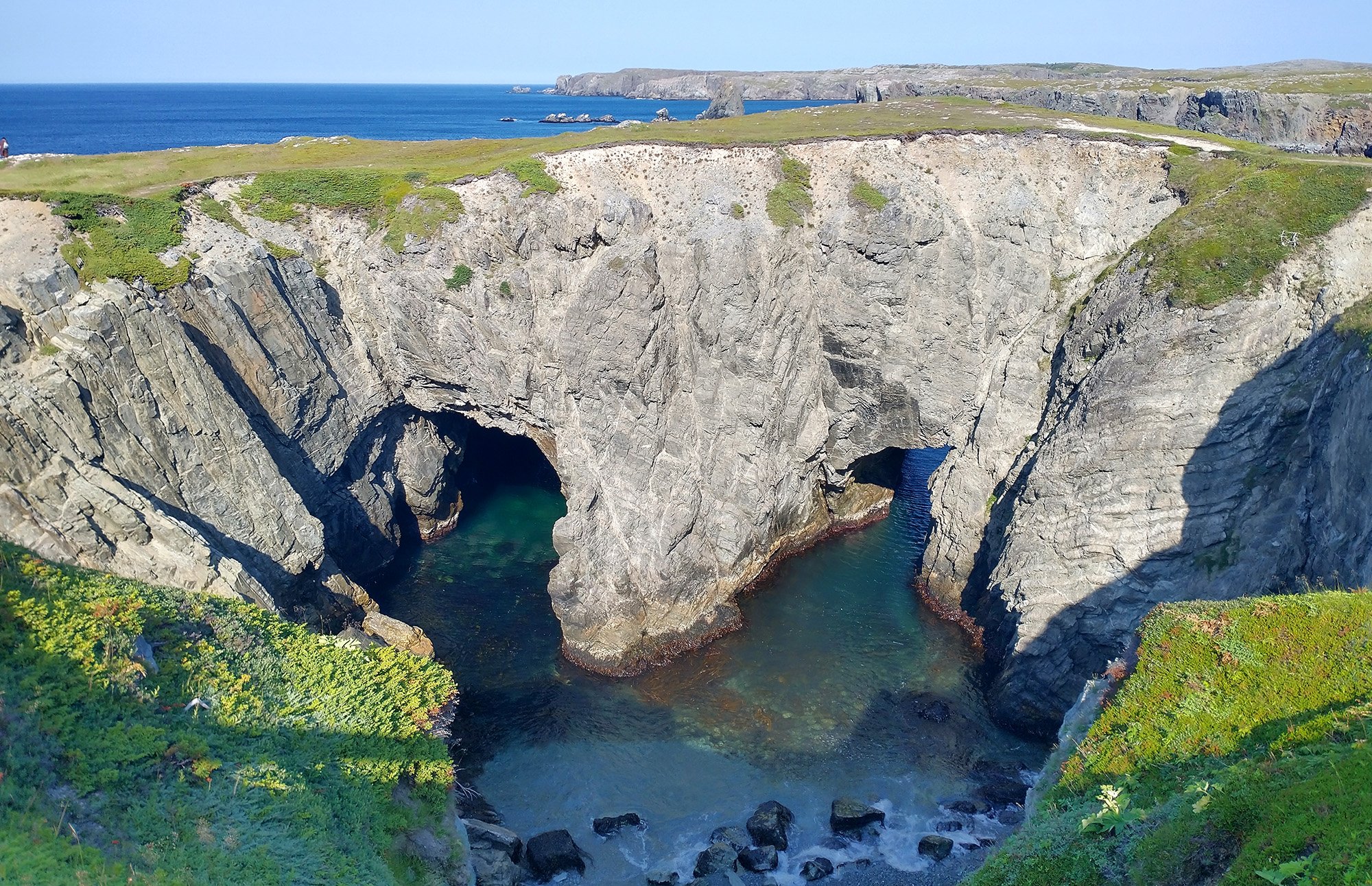
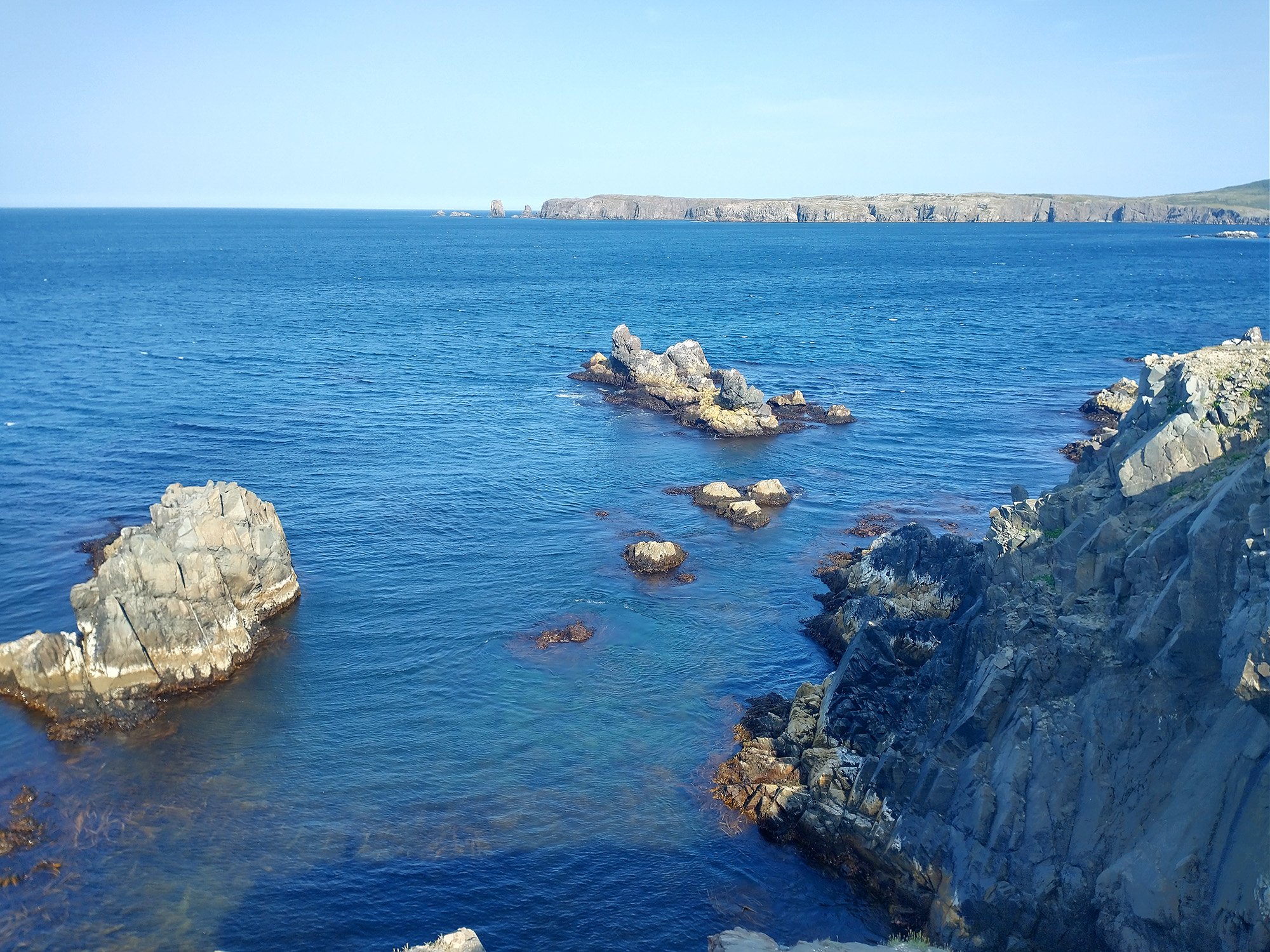
You can follow the coastline for several kilometers and be treated to these amazing views.
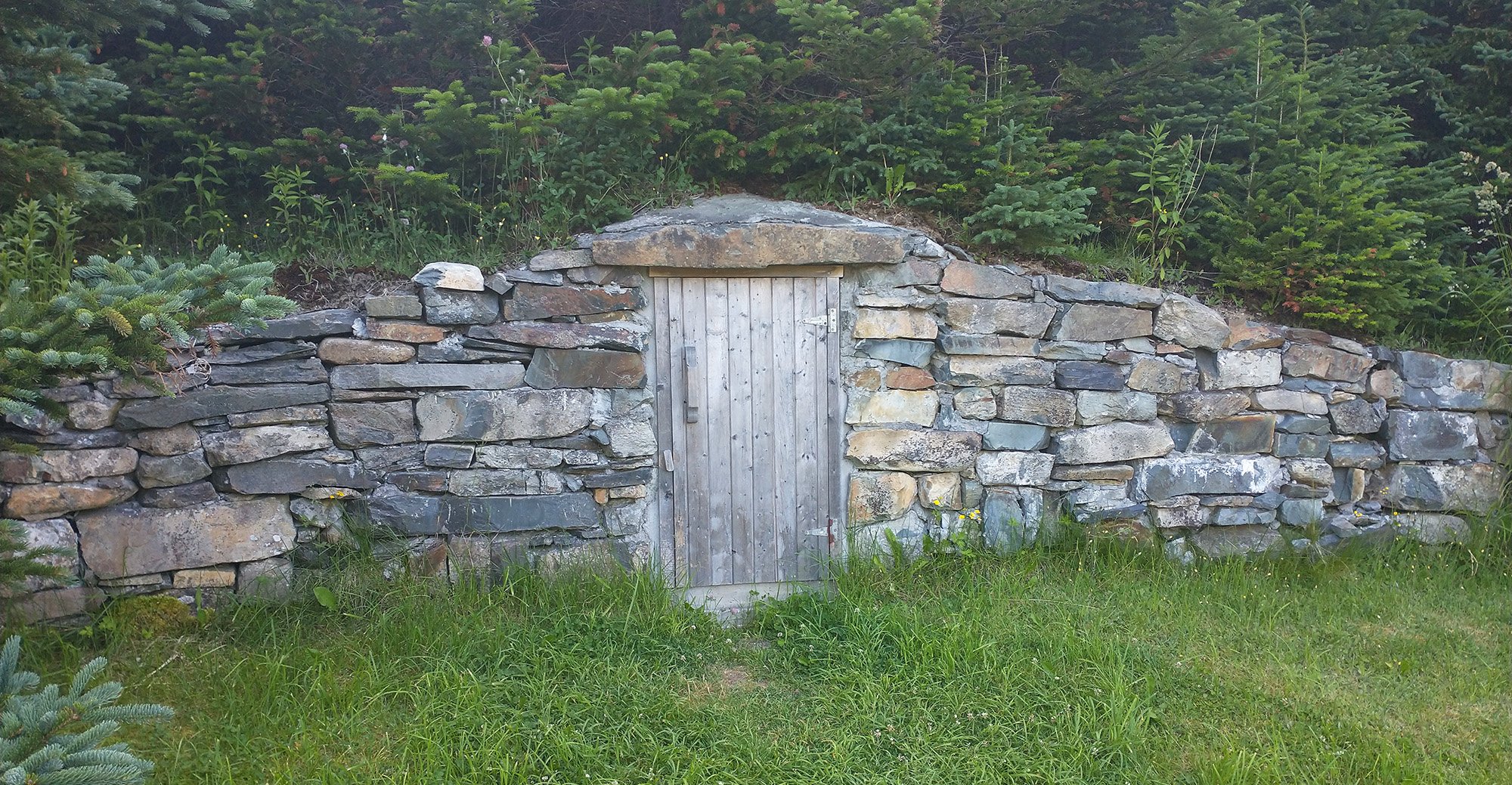
This is in the town of Ellison, which is also the "root cellar capital" or whatever the hell. Basically these caves where people stored vegetables for the winter.... Okay.
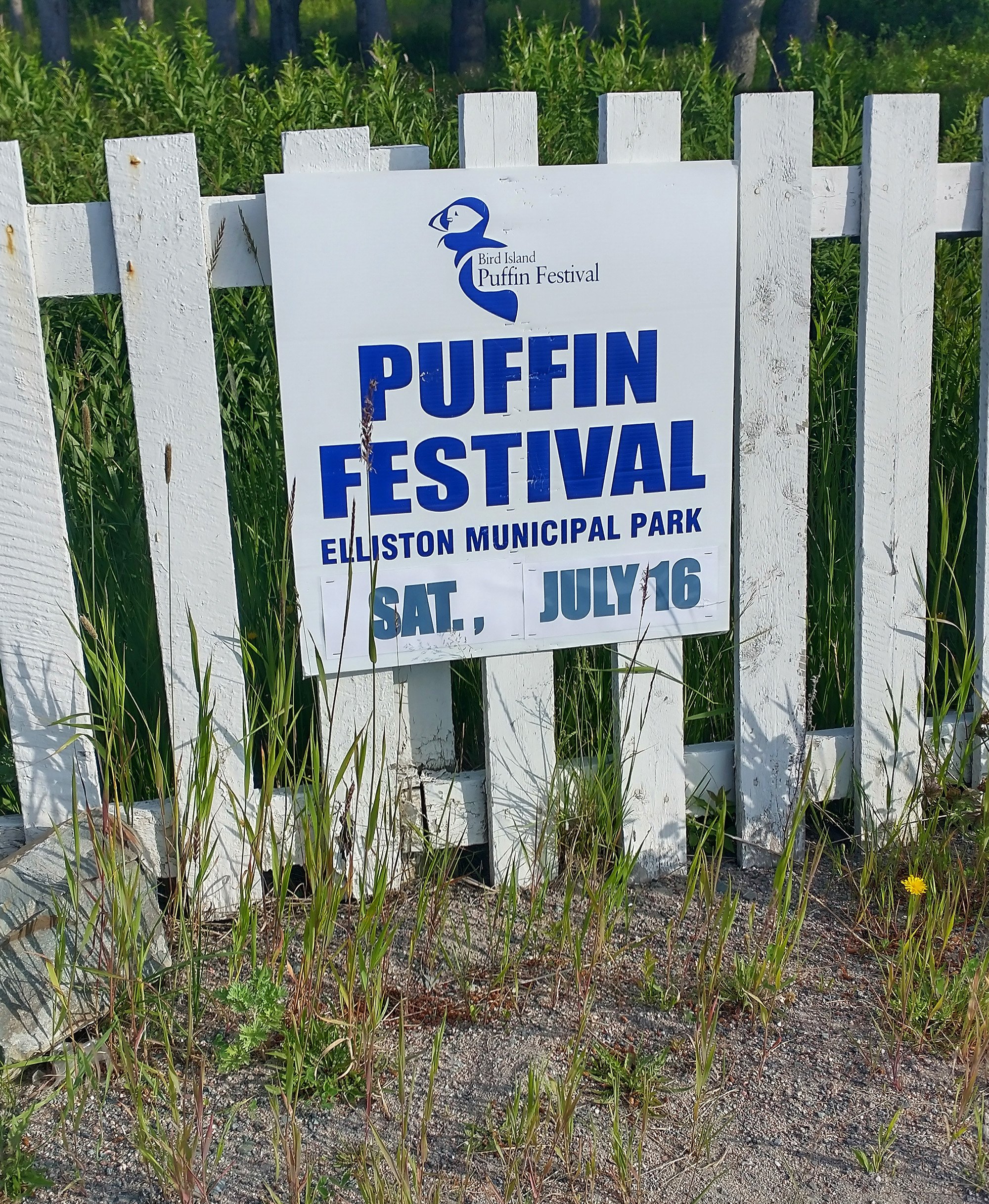
More interestingly the town has a puffin viewing area and thus its tourism centers around them.
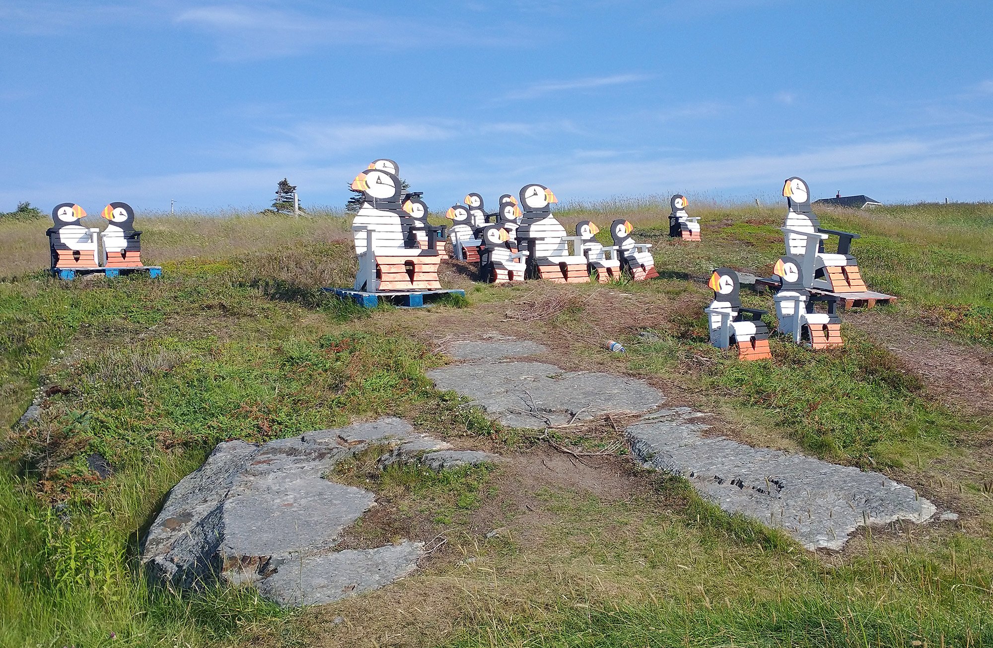
You can buy those chairs if you want.
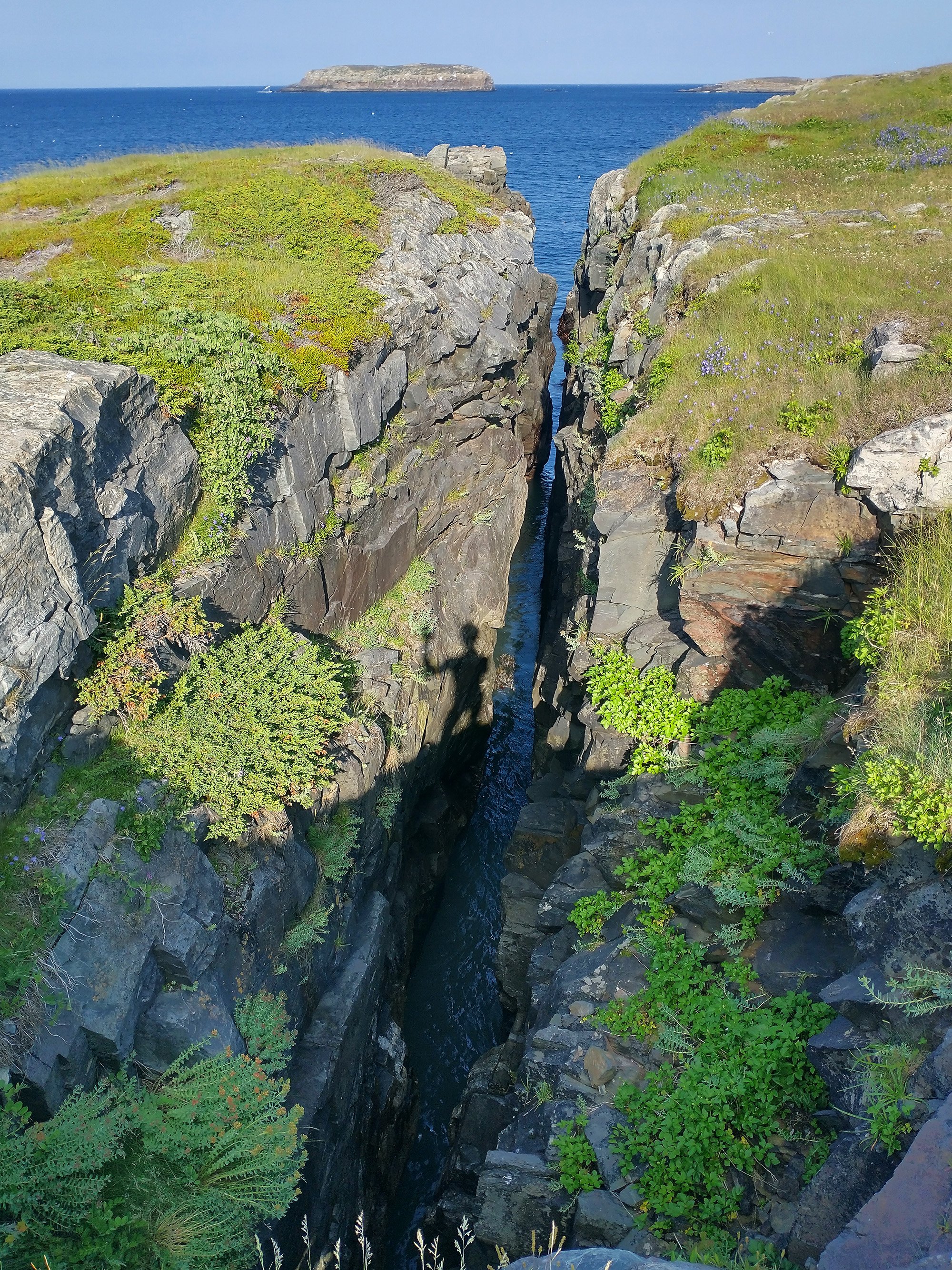
Hi!
A pretty epic week of mountains and coasts. Almost 30 hours on the bike in 6 days. Fatigue really starting to mount, looking forward to a more relaxing time. 3 more days in Newfoundland and then it’s back the other way to BC! Over halfway done with this whole trip.
Now to plan where to get all the weird food in St-John’s. What the hell is “flipper pie”? We’ll find out!
If you made it this far, feel free to join my Instagram and/or Strava!


